Zubarah
Zubarah, Qatar
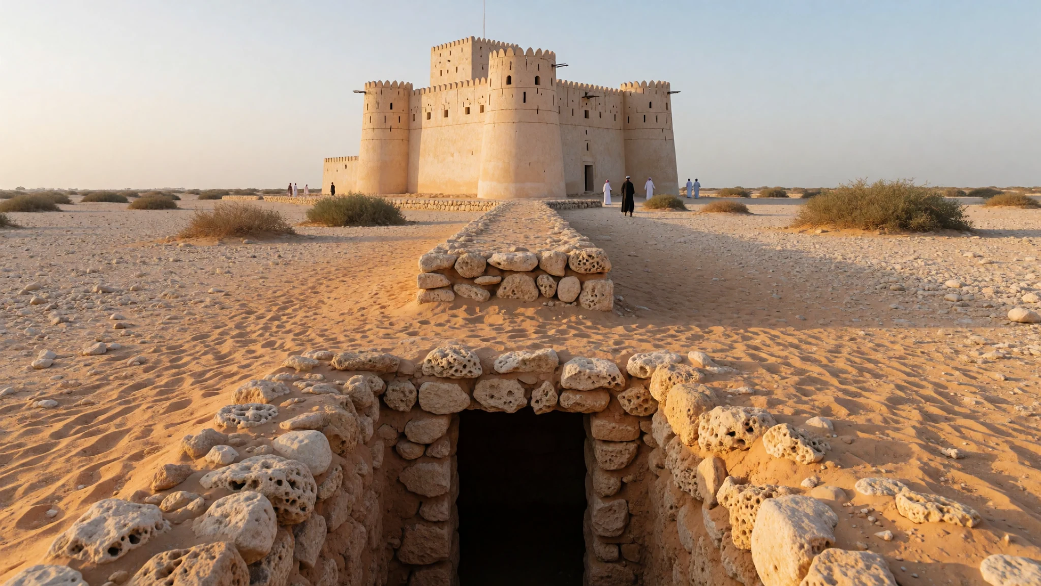
Zubarah is a large, well-preserved 18th–19th century trading port in Qatar, quiet enough to feel the scale of lost town life.
The place
Zubarah (الزبارة), also called Al Zubarah or Az Zubarah, sits on the north-west coast of Qatar in the Al Shamal municipality. It feels remote in a way that suits it: low coastal ground, open skies, and stone remains where homes, walls and harbour edges once shaped a working town.
This is a ruined, deserted town, but it isn’t a scatter of random stones. The archaeological site includes the fortified settlement, with an outer and a later inner wall, plus harbour areas and features that hint at how people lived, defended themselves and moved goods. Alongside the town structures are two screening walls, Murair fort (Qal'at Murair), and a more recent Al Zubara Fort.
Zubarah also carries a big story for Qatar’s past before oil transformed the country. It grew as a centre for global trade and pearling, positioned along Gulf routes between the Persian Gulf and the Strait of Hormuz. When pearl diving mattered, the economy depended on the long summer months and on crews heading out for weeks at a time.
Today the place reads like a calm map of movement: walls to measure boundaries, passages that suggest access, and coastal elements tied to sea work. Visits are usually straightforward—mostly outdoors—so the main challenge is practical: the heat, the light (strong glare), and the long feel of driving up to the north coast.
Its story
Zubarah’s story begins with trade patterns along northern Qatar’s coast. In the early Islamic period, coastal commerce picked up and settlements formed in the stretches between Zubarah and Umm Al Maa. Later, the town’s growth is often linked to upheaval in neighbouring areas.
Between September 1627 and April 1628, a Portuguese naval squadron led by D. Goncalo da Silveira burned nearby coastal villages. Accounts attribute Zubarah’s growth around that time to people being pushed out of neighbouring settlements, a reminder that ports can expand as much through displacement as through planned settlement.
The origins of Zubarah’s founding are debated. One narrative described a functioning self-governing settlement before the Bani Utbah arrived, but that claim was challenged later with allegations of forged documents produced during a territorial dispute with Bahrain. The alternative, more widely accepted story places Zubarah within Bani Utbah migration: clans moved from the Najd region amid prolonged drought sometime before 1698.
From there, Zubarah becomes a working Gulf node. Its location helped it sit in the flow of regional trade, and its proximity to pearl beds made pearling central. Pearl diving drew people from inside Qatar and across the Persian Gulf, with boats sailing out for weeks. At sea, work was shared: one diver in the water, another on the vessel pulling the diver back with harvested molluscs. The site’s archaeological clues—tools linked to diving and trading—fit that rhythm, turning the ruins into evidence of a whole economy.
What to see
- Al Zubarah Fort (museum) — fort area, Zubarah site
Start with Al Zubarah Fort, where the site’s past is curated rather than guessed. It’s an easy first stop for orientation—good for understanding the fortified town idea before wandering outward for stone traces.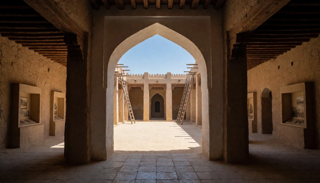
- Ruins across the fortified town — outer/inner town remains
Zubarah’s strongest “wow” is walking the town footprint: fortification lines, the outer and inner wall concept, and the layout that preserves how households and public space related. It’s quiet, and the stone outlines do the talking.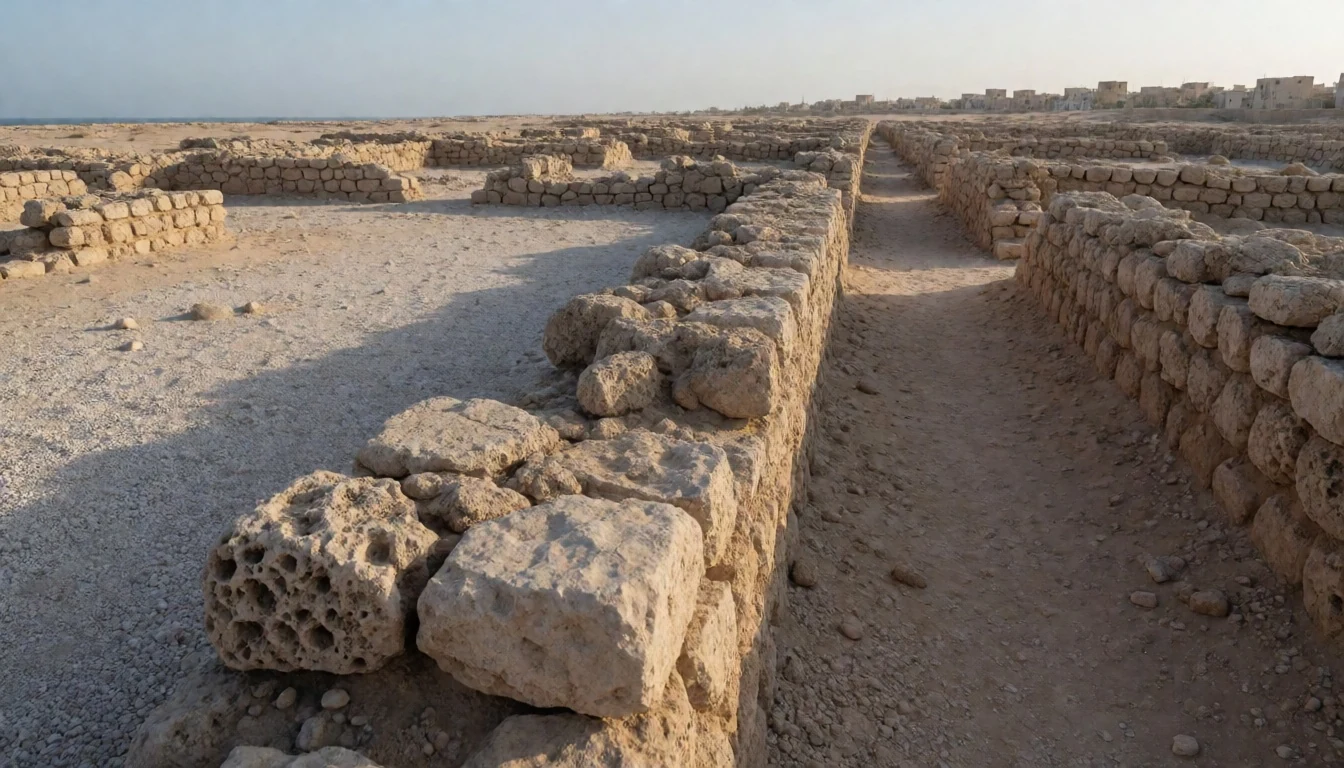
- Harbour & sea-canal area — coastal edge within the archaeological area
Zubarah’s maritime side is part of the site plan: harbour elements and a sea-canal feature connect the town to waterwork and trade. Even without living boats, the coastal geometry makes the port logic feel practical, not symbolic.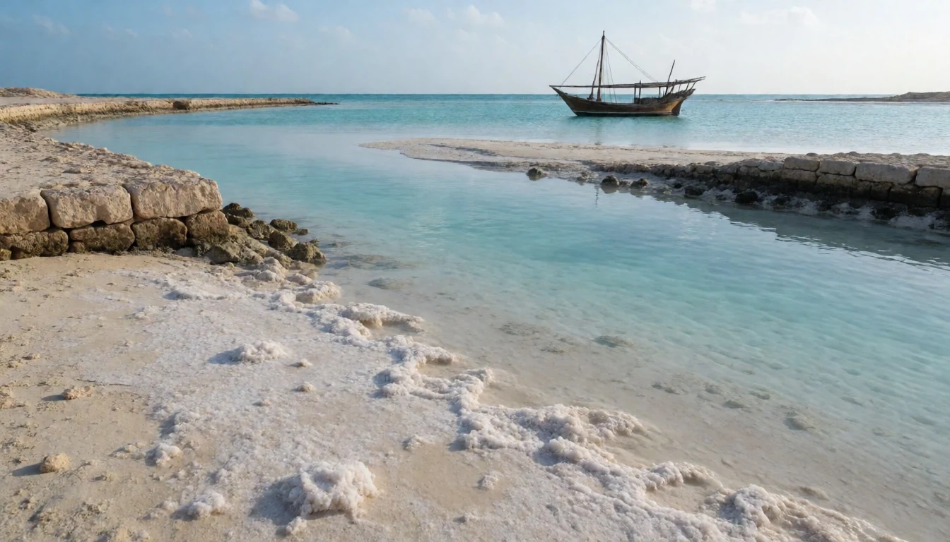
- Qal'at Murair (Murair fort) — fortifications zone within Zubarah
Qal'at Murair (Murair fort) adds a second layer to the defensive story, separate from the main fort complex. It’s a good place to spot how fortifications worked with land position—especially when the site is wind-swept.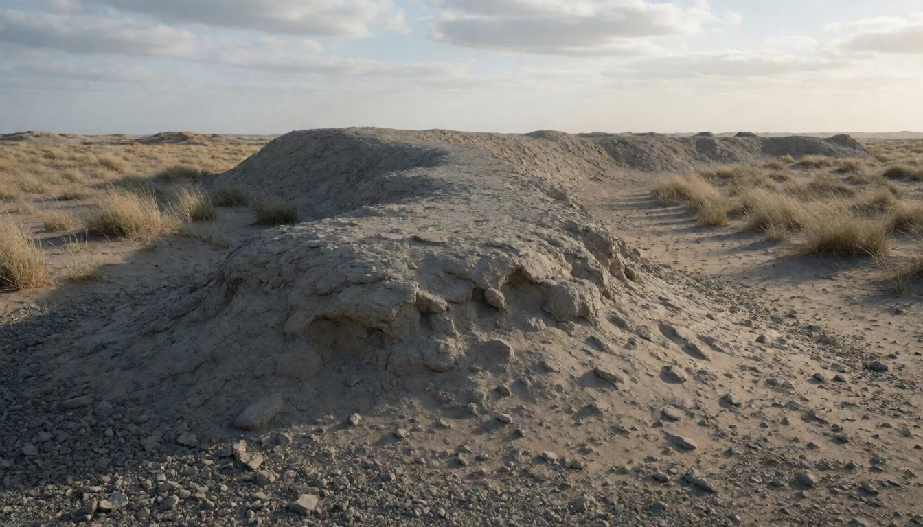
- Nearby forts on the coast — Al Shamal coastal corridor
If time allows, loop to Al Rakiyat Fort and Al Thughab Fort, both restored after long histories of coastal wear. They read like matching chapter ends: square and round towers, built from coral, limestone and mud brick in their original phases.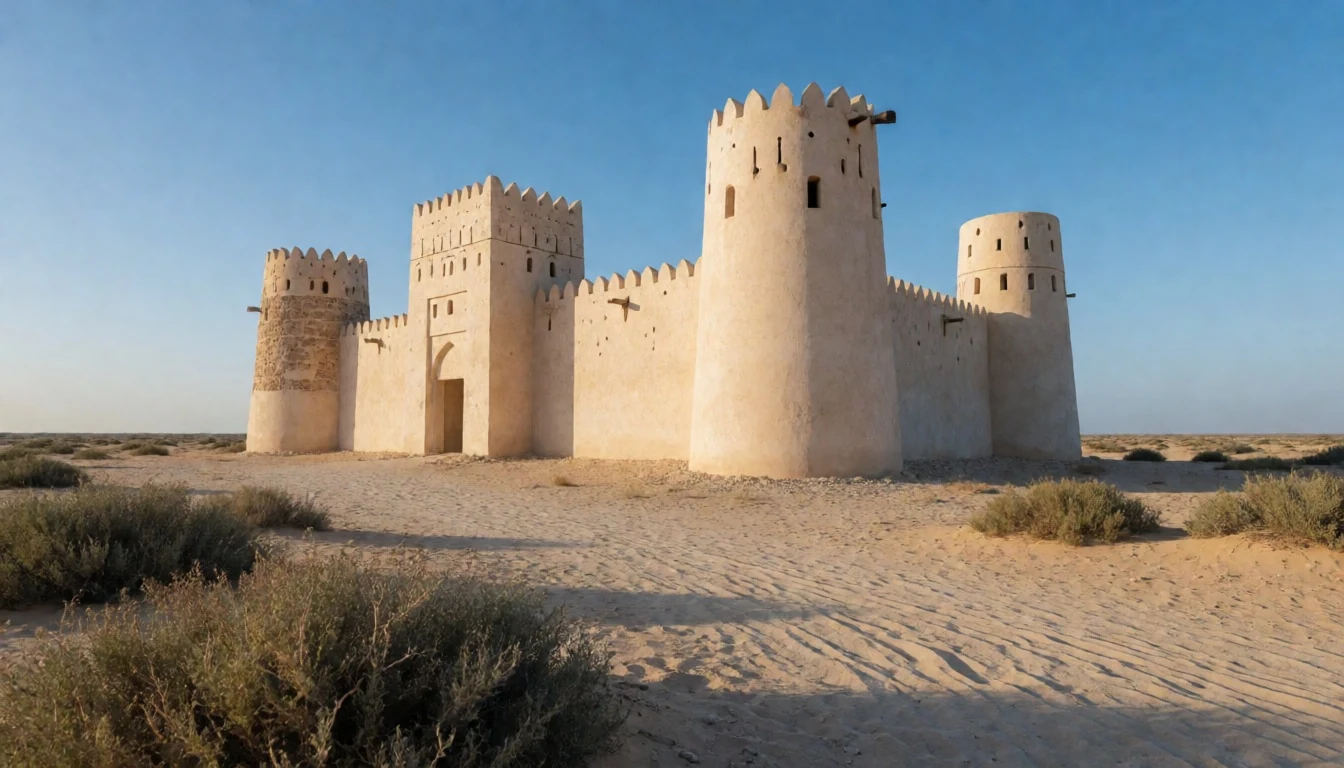
Culture
Zubarah is a UNESCO World Heritage Site, but it doesn’t feel like a glossy museum stop. The value here is in the lived-in logic of the settlement: defensive walls, a harbour-linked town plan and evidence tied to pearling and trade. That means many visits are quiet and contemplative, because there’s not much “inside” to shelter in. It’s also a place where light can be harsh, so moving slowly and taking breaks in the shade matters.
Because the setting is coastal and the terrain is mostly outdoors, footwear and water become part of the experience. There are also practical conservation vibes: stonework is old, surfaces can be fragile, and walking patterns can make a difference to how areas hold up over time. People sometimes assume ruins are fair game for climbing, but this is a managed heritage site.
Dress in a comfortable, modest way that respects local norms, especially if arriving from a tour or with mixed groups. If visiting in the warm months, plan for heat management and shorter loops rather than trying to “cover everything” in one go.
Visitor etiquette: keep to marked paths, avoid climbing on stonework, and cover up modestly in line with local culture.
What to wear
At Zubarah, clothing is mostly about heat and respect rather than style. The ruins are outdoors in the Al Shamal landscape, so breathable fabrics help, while modest coverage keeps things comfortable if visiting alongside locals or in mixed groups. Traditional dress across Qatar is often influenced by regional Gulf styles, with the men typically wearing the thobe (a long, ankle-length robe), and women wearing long, loose outer garments with a head covering.
What people actually wear now in this part of Qatar is usually casual but practical: light shirts, long trousers or long skirts, and head protection for sun. At heritage sites, many visitors choose a simple, modest baseline—tops that cover the shoulders, trousers or skirts that don’t ride high, and a scarf or cap for sun.
For a visitor, aim for breathable layers, a hat, and shoes with grip for uneven ground. If the day starts warm and stays brighter, light layers make it easier to manage the walk without feeling bulky. At any time, carrying a lightweight scarf also helps for modesty and for sun glare across open areas.
What to eat
- Iskendar kebab — local eateries around Al Zubarah/Al Shamal area
Iskendar kebab is one of the easier options to look for, often served alongside fatayer and shwarma-style choices. The key is to hunt down a local eatery or food stall that offers it as a set or by the plate.
Plan it
Best time. May–August are the hottest months (with the mean daily highs peaking around 44–45°C), while the wettest months are January and December (about 10–12 mm of rain). The most comfortable window is from November to February, when highs drop into the mid-20s°C to low-30s°C and rain stays light overall. The site is outdoors, so cooler shoulder months help most.
How long. 2–3
Getting there. From Doha, take road travel via bus services that link Al Ghanim Bus Station with Al Ruwais and surrounding towns; the final part to Zubarah is by road from the Al Ruwais area. If driving, use Al Shamal Road for the north-coast approach.
Budget. mid
Tips
- Start early to make the outdoor walk easier to manage in warmer daylight.
- Plan for a heat-and-sun day: carry water and use sun protection before arriving.
- If taking a bus, confirm service status with Mowasalat, as routes can change.
Etiquette
- Respect heritage rules: avoid climbing on ruins and stick to safe walking areas.
- Dress modestly and keep voices low out of respect for other visitors and the setting.
- Be mindful of conservation surfaces—no touching fragile stone features.
Nearby
Sources
- Wikidata Q2727469 (CC0)
- Wikipedia (rev 1379659115) (CC BY-SA 4.0)
- Wikivoyage (rev 5237297) (CC BY-SA 4.0)
- Ruins in Zubarah on a cloudy day (photo) (CC BY 3.0)
- Zubara Fort (photo) (CC BY-SA 2.0)
- Ruins in Zubarah, northwest Qatar (photo) (CC BY 3.0)
- Archaeological site of Al Zubarah (photo) (CC BY-SA 4.0)
- Picture of Archaeological site of Al Zubarah (photo) (CC BY-SA 4.0)
- Old dates on archaeological display in Zubarah (photo) (CC BY 3.0)
- Dhow (photo) (Public domain)
- Zubarah in 1937 (aerial photo) (CC0 1.0)


