Timgad
Timgad, Algeria
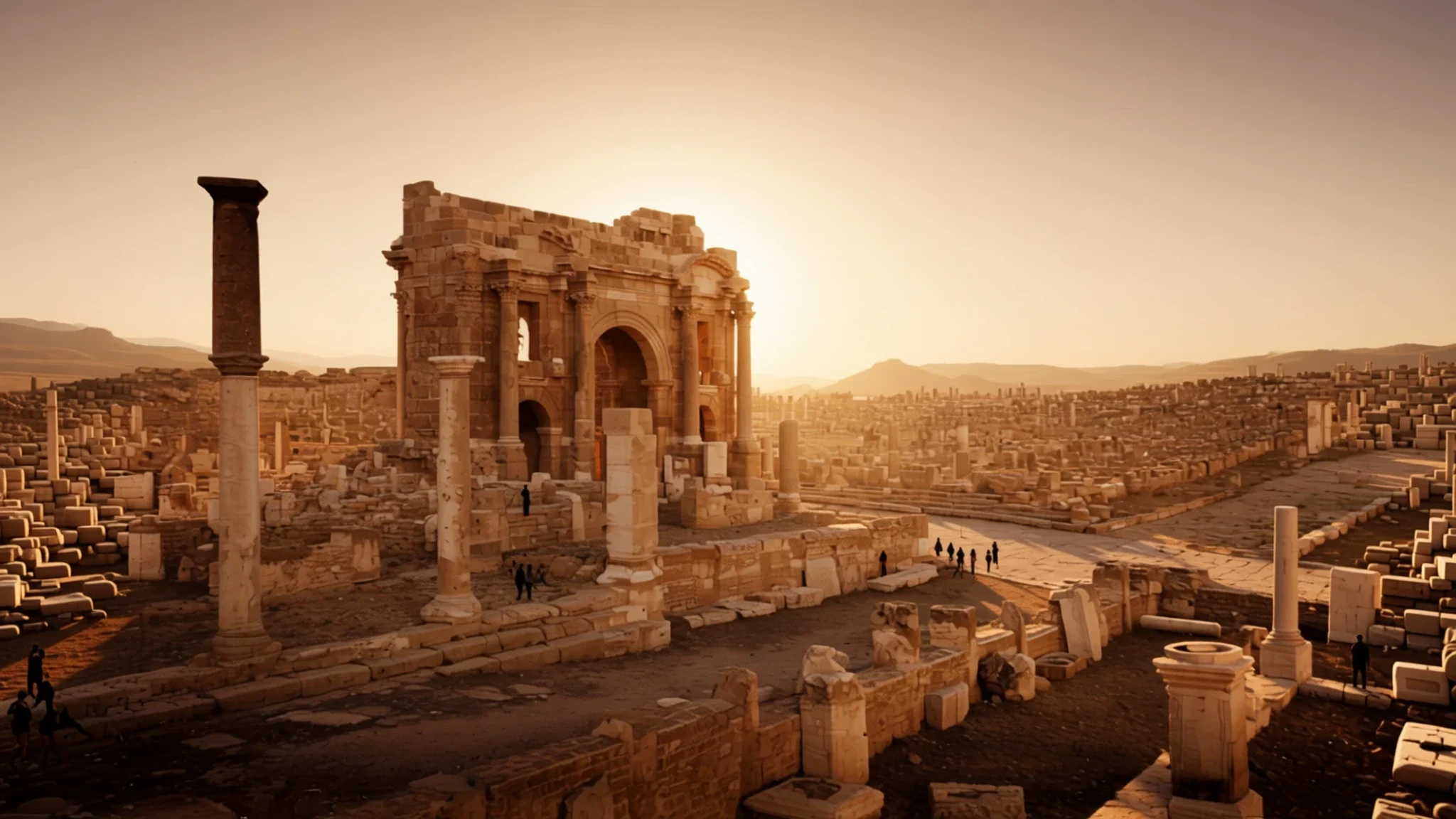
Walk through one of the world's most complete and orderly Roman grid cities, wonderfully preserved against a mountainous backdrop in Algeria.
The place
Timgad, known historically as Thamugadi, sits in the rugged Aurès Mountains of Algeria, roughly 35 km east of the city of Batna. Often called the Pompeii of North Africa, the site stands out for preserving one of the finest extant examples of a rigid orthogonal town plan anywhere in the former Roman Empire. Set at an altitude of about 1,000 metres above sea level, the ancient colony was established at a strategic intersection of six regional roads. Although originally walled rather than heavily fortified, the layout followed a precise geometric grid anchored by a major east-west decumanus maximus and a north-south cardo. These central thoroughfares are lined by a partially restored Corinthian colonnade that immediately draws the eye toward the public core. While the settlement was initially designed for a modest population of around 15,000 people, the community quickly spilled out beyond its orthogonal borders into a more organic, sprawling pattern. Today, walking through the dusty avenues reveals the skeletal remains of domestic quarters, grand public squares, markets, and municipal baths, all mapped across the dramatic, dry landscape. Because the area receives intense seasonal heat and lacks natural shade among the ruins, visiting requires careful preparation regarding water and sun protection. The profound silence that now fills the stone streets contrasts sharply with the bustling administrative and commercial hub that once thrived here at the edge of the empire.
Its story
The history of Timgad began around 100 CE when the emperor Trajan founded the city as a colonial outpost. Its primary purpose was military and political: to serve as a sturdy Roman bastion against the indigenous Berber tribes inhabiting the nearby Aurès Mountains. The first inhabitants were largely Roman veterans and colonists who had been granted land in exchange for military service. Despite being geographically and culturally distant from Rome itself, the citizens embraced Roman civic identity with enthusiasm, investing heavily in monumental architecture, temples, and social institutions. Over subsequent centuries, the community enjoyed a relatively peaceful existence, gradually evolving into a vibrant hub of Christian activity by the 3rd century and later becoming a notable Donatist center in the 4th century. During this era, theological disputes brought considerable renown to the local diocese, led at different times by prominent figures such as Bishop Optat, Gaudentius, and Faustinus. Decline set in during the 5th century when Vandal forces sacked the settlement, followed closely by severe destruction at the hands of Berber tribes from the mountains. A brief renaissance occurred in 539 CE during the Moorish wars, when the Byzantine general Solomon retook and rebuilt parts of the city, incorporating it into Byzantine North Africa. Over the long centuries that followed, shifting political powers and environmental pressures caused the once-busy streets to empty entirely, leaving the stone foundations buried under dust and windblown soil until modern archaeological excavations brought the ancient colony back into the light.
What to see
- Trajan's Arch — Western end of the decumanus
Rising at the western end of the decumanus, this striking triumphal arch was built in the 3rd century to replace the original gate. Made principally of sandstone, it was partially restored at the turn of the 20th century and remains an iconic symbol of the archaeological zone.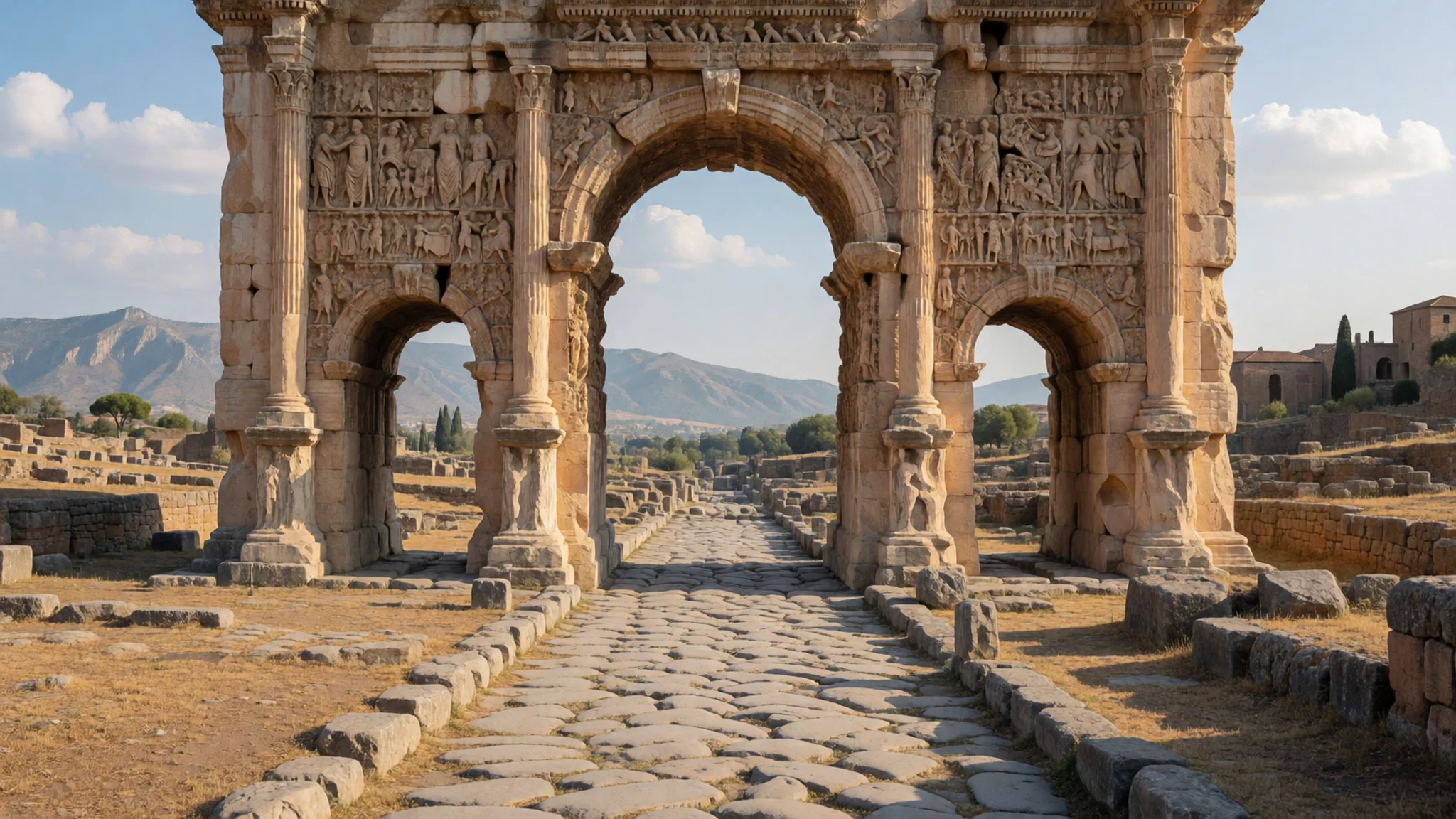
- Theatre — Southern sector of the ruins
Cut into the hillside to utilize the natural slope, this remarkably well-preserved ancient theater could seat roughly 3,500 spectators. Today, the stone tiers still host occasional contemporary cultural productions, continuing its original function as a public gathering space.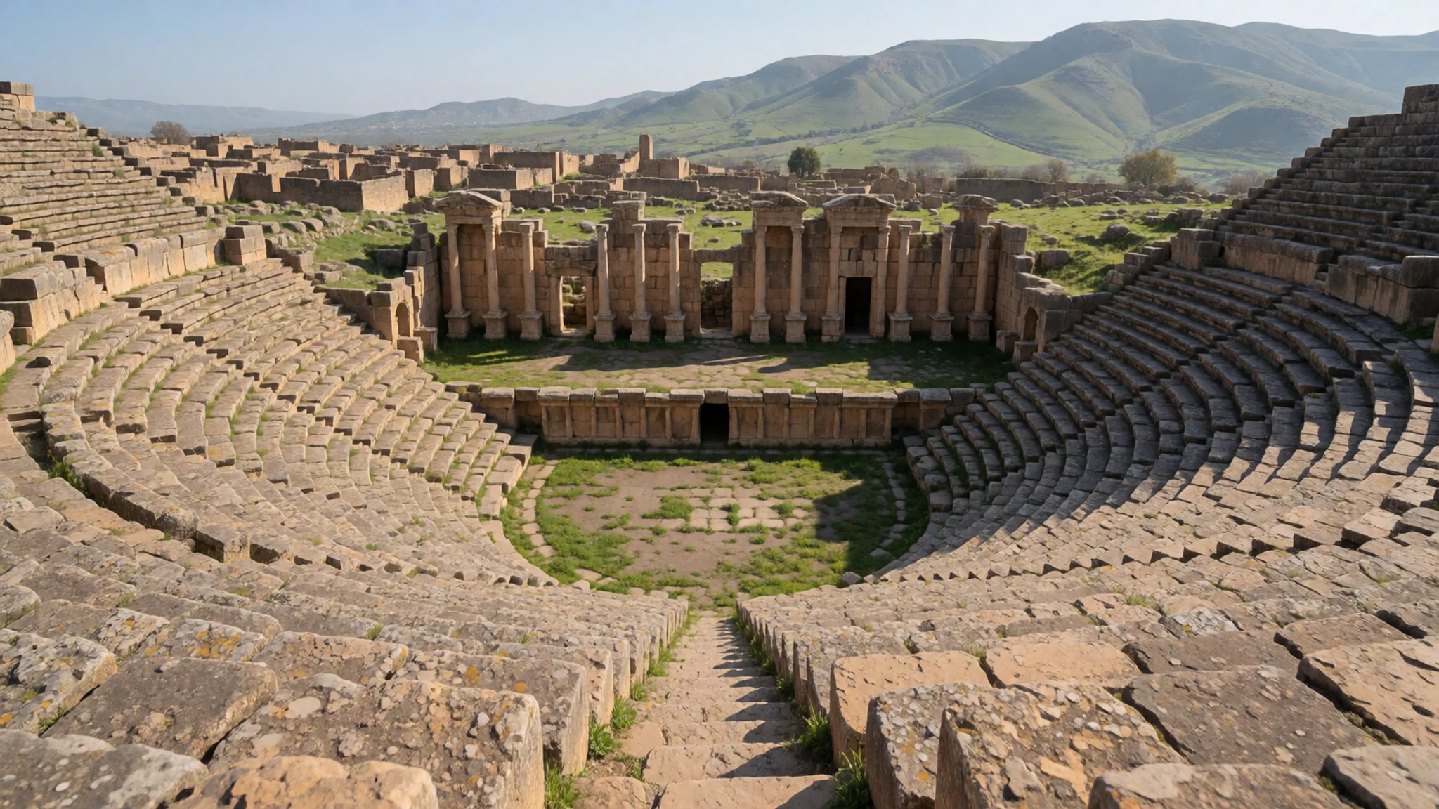
- Forum — City centre
Positioned at the vital intersection where the cardo meets the decumanus, the forum served as the political and social heart of the city. The open square is framed by elegant Corinthian columns and overlooked by administrative ruins.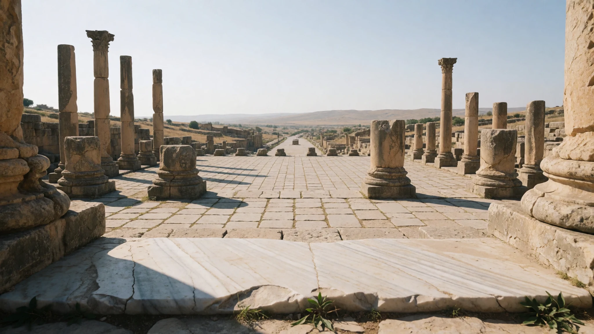
- Public Library — Near the central cardo
Dating from the 3rd or possibly the 4th century, this municipal facility features a large semi-circular main hall flanked by two secondary rectangular rooms. It was fronted by a graceful U-shaped colonnaded portico enclosing three sides of an open court.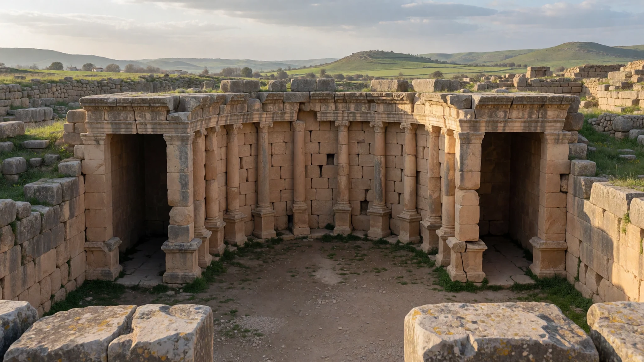
- Large Northern Baths — Northern sector of the site
Sprawling across a massive footprint, this extensive complex comprises roughly forty interconnected chambers designed for the elaborate Roman bathing ritual, complete with hypocaust heating systems beneath the floors.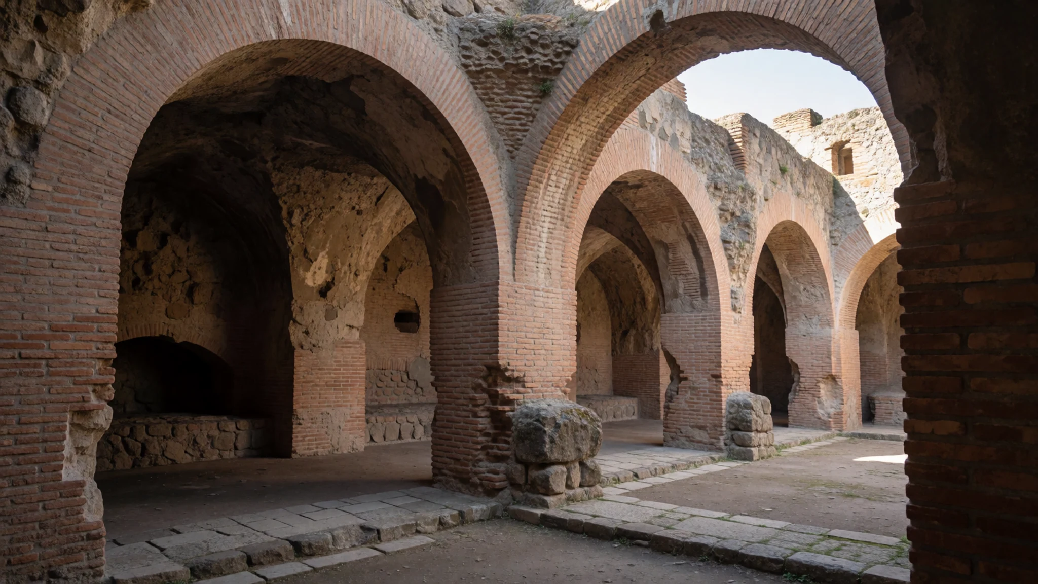
Culture
The cultural fabric of the surrounding region is rooted in traditional Algerian and Chaoui Berber heritage, characterized by strong community ties, local craftsmanship, and customary hospitality. While the ancient Roman city itself is an archaeological park rather than an inhabited town, the nearby modern communities reflect contemporary Algerian life, where traditional values blend seamlessly with modern routines. Islamic traditions guide daily life, influencing local rhythms, family structures, and community gatherings, particularly during religious holidays and market days. Traditional garments such as the burnus and local woven textiles remain part of the cultural memory, even as everyday modern attire becomes standard across the country. Visitors interacting with local residents will find that warmth and politeness open many doors, and a few words of Arabic or French are always appreciated. Dress modestly out of respect for local conservative norms, ensuring shoulders and knees are covered when visiting towns and villages outside the archaeological zone.
What to wear
Traditional dress in the Aurès region historically features durable, practical garments suited to both mountain winters and hot summers, including heavy woollen cloaks like the burnus and intricately patterned woven blankets and robes crafted by local artisans. In nearby towns today, locals wear a practical mix of contemporary Western-style clothing and traditional garments, with older generations frequently opting for loose tunics and head coverings. For travellers exploring the open-air archaeological ruins of Timgad, practical clothing is essential. Because there is virtually no natural shade among the stone columns and exposed streets, lightweight, breathable fabrics that cover the arms and legs will protect against intense sun exposure. Sturdy walking shoes with good grip are mandatory, as the ancient stone paving stones, uneven steps, and dusty paths can be slippery or loose. Bringing a wide-brimmed hat, sunglasses, and a light windproof layer for sudden weather changes in the mountains will ensure comfort throughout the day.
What to eat
- Algerian Pizza — La Casa del Pizza
A popular local favourite featuring spiced meat, tuna, or chicken baked onto a flatbread base with regional herbs, easily found at casual roadside eateries.
- Traditional Tagine — Restaurant Boubon
A slow-cooked stew of lamb, chicken, or seasonal vegetables simmered with local spices and olives in a traditional earthenware dish, served across local restaurants.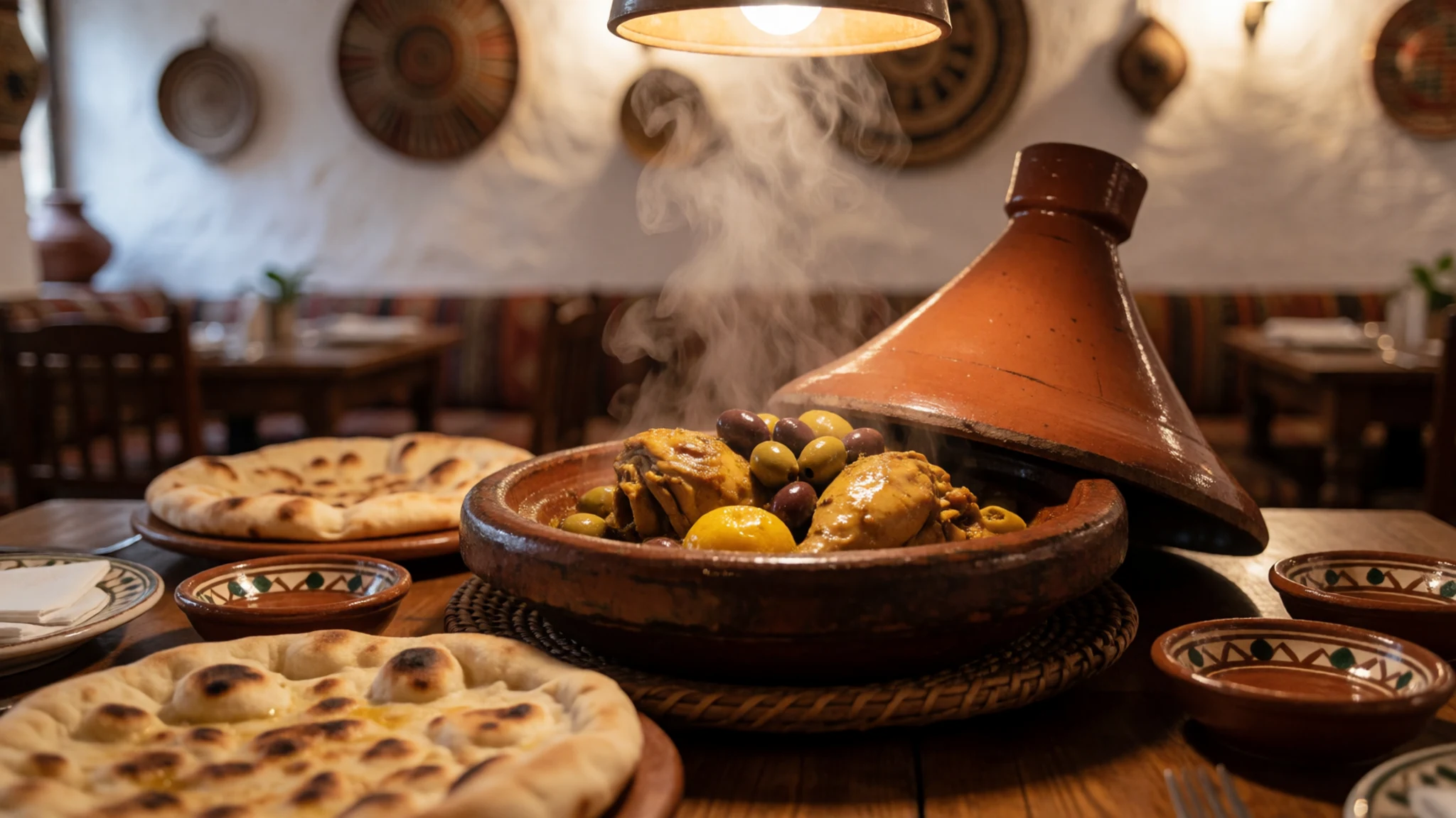
- Local Grilled Meats — Cafes along the main road (RN 87)
Freshly prepared skewered meats seasoned with North African spices, grilled over open coals and served alongside fresh bread and simple salads. - Mint Tea — Any local roadside cafe along the main road
A sweet, refreshing infusion of green tea and fresh mint leaves poured from a height to create froth, offered as a universal sign of hospitality in local cafes.
Plan it
Best time. March to April and October to November offer the most pleasant temperatures for exploring the uncovered outdoor ruins without extreme summer heat.
How long. 1–2
Getting there. From Constantine, arrange a private car for the day, or take a bus from the Constantine bus station to Batna, followed by local bus connections to Timgad.
Budget. low
Tips
- Wear sturdy footwear with good grip for walking on uneven ancient stone streets
- Carry ample drinking water as there is no shade or refreshment vendors inside the ruins
- Hire a local guide at the entrance to help interpret the extensive orthogonal layout
- Keep local cash handy for transport fares, entrance tickets, and small eateries
- Start your visit early in the morning to beat the midday heat and harsh sun
Etiquette
- Dress modestly with shoulders and knees covered when exploring nearby towns
- Ask permission before photographing local residents in surrounding villages
Nearby
Sources
- Wikidata Q459629 (CC0)
- Wikipedia (CC-BY-SA 4.0)
- Wikivoyage (CC-BY-SA 4.0)