Three Parallel Rivers National Park
Three Parallel Rivers National Park, People's Republic of China
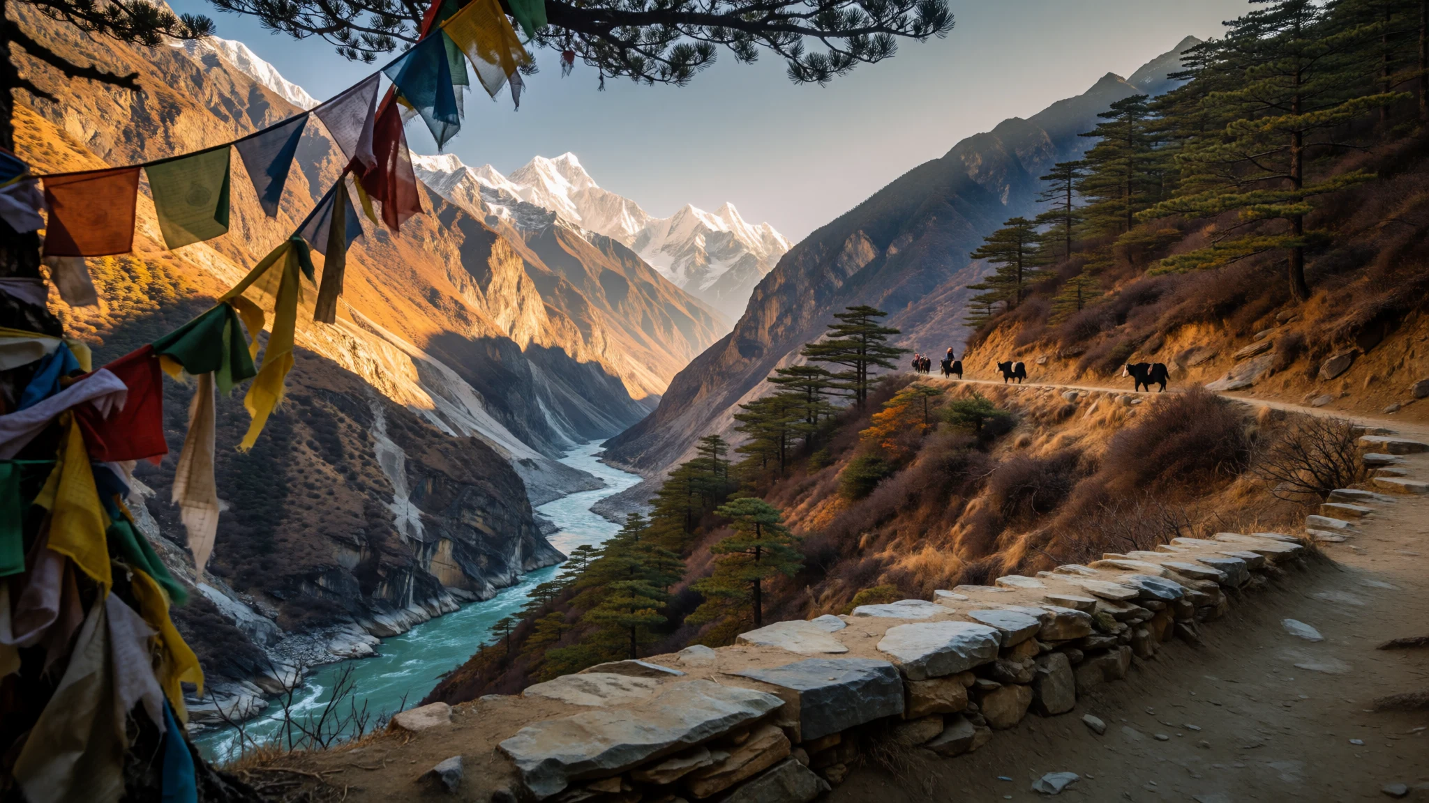
Go for a landscape where three major rivers carve deep gorges side by side, and the remoteness feels properly earned.
The place
Three Parallel Rivers National Park sits in Yunnan province, China, as part of the “Three Parallel Rivers of Yunnan Protected Areas”. The headline idea is simple: in a stretch of rugged, high-mountain terrain, the upper reaches of three great Asian rivers run roughly parallel, separated by ridges and valleys. In practice, it’s a huge place of dramatic river systems, forested slopes, and viewpoint-ready geography—less “park with a visitor centre” and more “mountain region you move through”.
This UNESCO-listed protected area sits in the drainage basins of the Jinsha (Yangtze), Lancang (Mekong), and Nujiang (Salween) rivers, within the Hengduan Mountains. Over that wider region, the rivers don’t stay close forever: after the near-confluence area, each system heads off on its own path—Nujiang towards the Salween route, Lancang becoming the Mekong, and Jinsha continuing as the Yangtze.
What makes the place feel special is the scale of the river maze. There are many core areas and surrounding zones spread across a region that is both long and wide, with mountains that rise sharply enough to shape climate, vegetation, and travel routes. It’s also a crossroads of cultures: Yunnan’s ethnic diversity shows up in day-to-day dress in some communities, and Tibetan ties are strong around certain sacred peaks.
Plan on a trip that leans outdoors and logistics: remote roads, high altitude, and big distances between the places most travellers can actually access.
Its story
Three Parallel Rivers National Park doesn’t really “start” when you arrive at a gate—it starts when you realise the region is stitched together by valleys. The rivers are the backbone, and the mountains between them are the reason everything feels separated: where one valley has a road and a trail head, another valley can feel unreachable without time, guides, and careful acclimatisation.
Most routes funnel travellers through the Yunnan tourist trail cities—Dali, Lijiang, or Shangri-la—before they peel off towards river valleys. From there, access splits depending on which river system you’re aiming for: the Jinsha and Lancang valley routes follow the national road corridor, while journeys towards the Nu (Salween) valley take provincial road approaches and often involve a change of bus somewhere along the way.
Treks are common because the landscape is the point, but trekking here is not casual. The area is remote and isolated, with limited foreign-language support. Even when you can communicate in Chinese, local languages and accents can make things slow. Most travellers end up in a trekking group or hiring a local guide, not because it’s a “tourist thing”, but because safety and navigation depend on local knowledge.
Then there’s altitude. Towns along the Yunnan route are already high, and the mountains above them can bring altitude sickness risk. You’ll feel it most if you race into higher terrain without time to adjust.
Finally, there’s the weather and geology side. This is geologically active country—after heavy rain, landslides can happen, and roads can become risky. The story of Three Parallel Rivers is therefore equal parts scenery, endurance, and planning.
What to see
- Zha laqueni (Bai Ma mountain / Bai Mang mountain)
Zha laqueni is the main peak of Bai Ma mountain (also known as Bai Mang mountain). For many people this is a “look-from-the-approach” kind of stop rather than a casual outing—think big mountain energy, changing light, and the sense that the terrain is doing most of the work. Often discussed alongside the wider river-valley trekking area.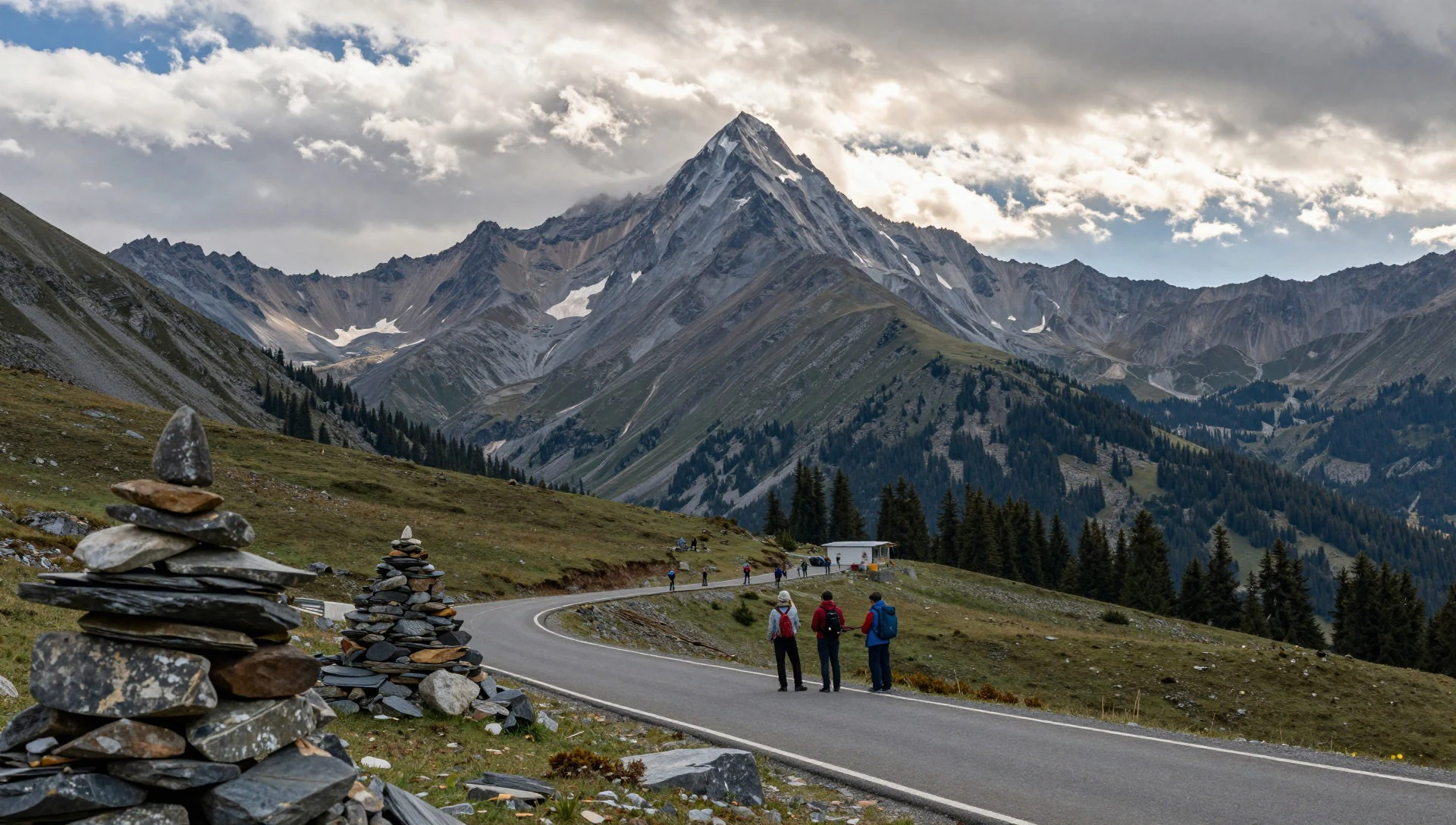
- Kawagarbo (Meili mountain)
Kawagarbo is the main peak of Meili mountain, and it’s closely tied to Fei Lai Si (flying temple) for sunrise viewing. People often come early to catch the first light with the peak as the backdrop. Just note that this mountain is sacred to Tibetans, and climbing attempts are not the kind of thing you should plan around.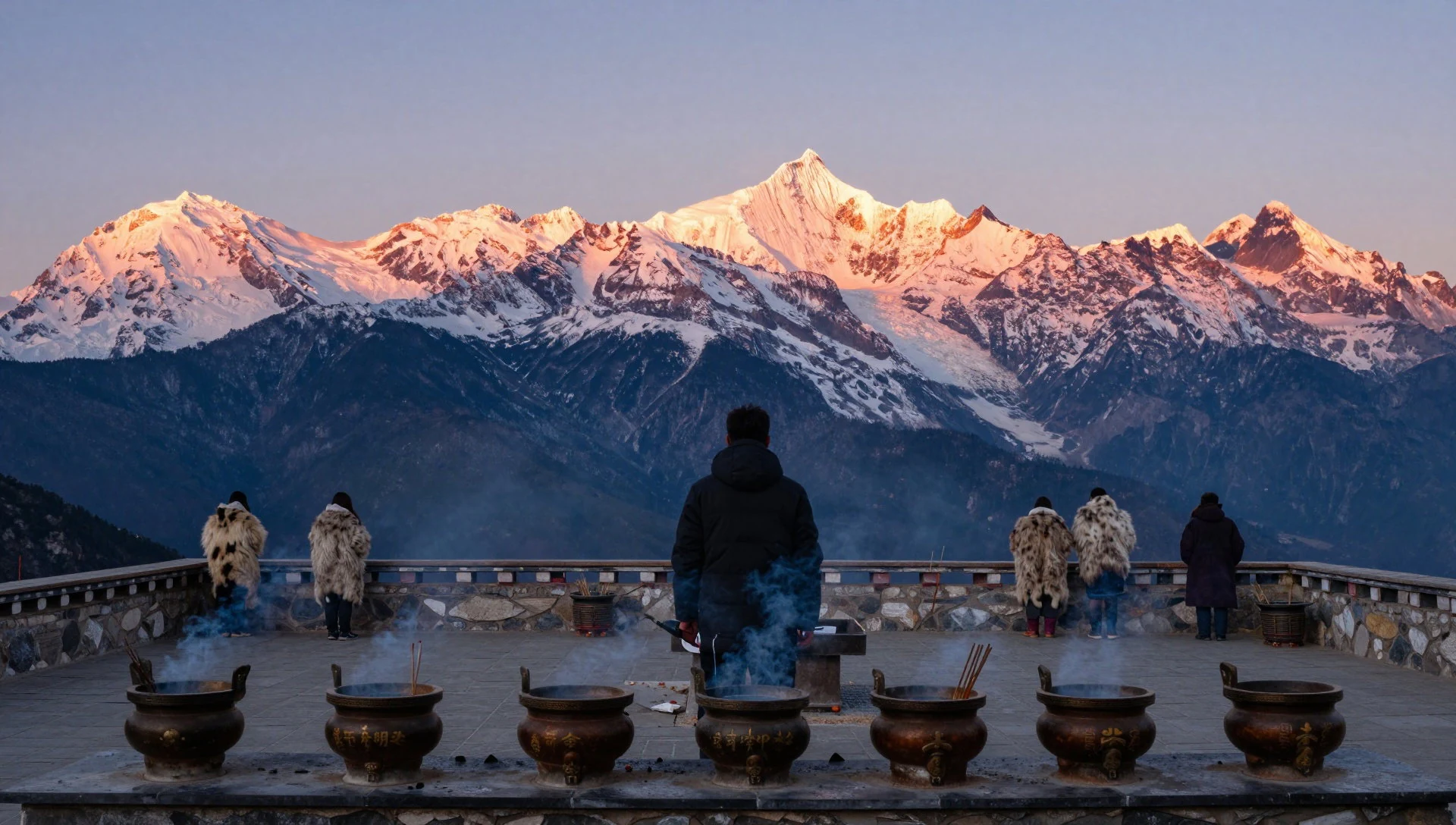
- Hike into Yubeng (Lancang/Mekong valley) — Lancang (Mekong) valley
A hike into Yubeng is widely cited as the flagship outing in the Lancang (Mekong) valley. It’s the sort of route that rewards early starts and steady walking rather than “one big photo moment”. Expect a progression of river-valley views, village atmosphere along the way, and a genuine feeling of being away from the mainstream.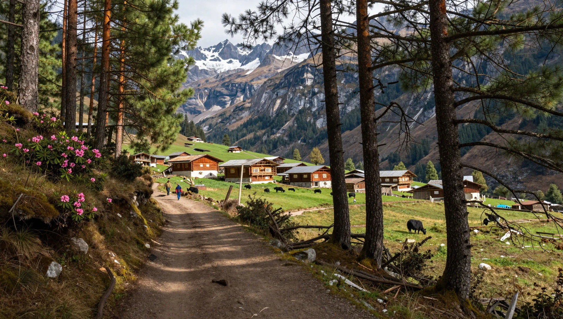
- Three-river geography viewpoint drives (river confluence region) — Yunnan Hengduan Mountains, protected area corridors
In the protected areas, the rivers run roughly parallel for a stretch, then diverge dramatically. Even without naming a single viewpoint, it helps to treat the region like a set of corridors: each valley gives a different “slice” of the larger story. Maps and overlook points help you orient the Jinsha, Lancang, and Nujiang systems in your head.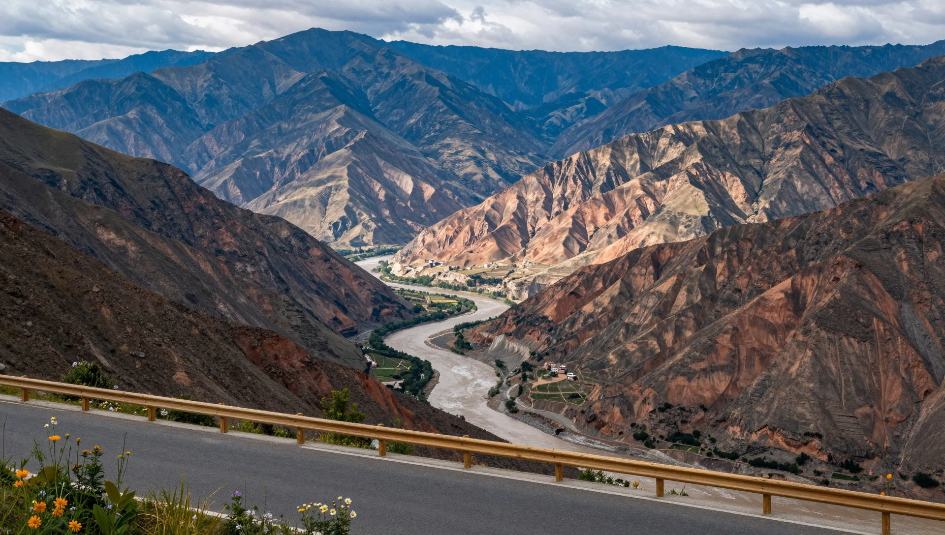
- Upper reaches river scenery (Jinsha / Lancang / Nujiang) — River basins within the protected areas
The imagery of the upper Jinsha (Yangtze), Lancang (Mekong), and Nujiang (Salween) rivers is mostly about steep banks, deep cuts through mountains, and water that looks both powerful and contained. Use the river as your orientation: where the gorge tightens, the landscape usually follows suit.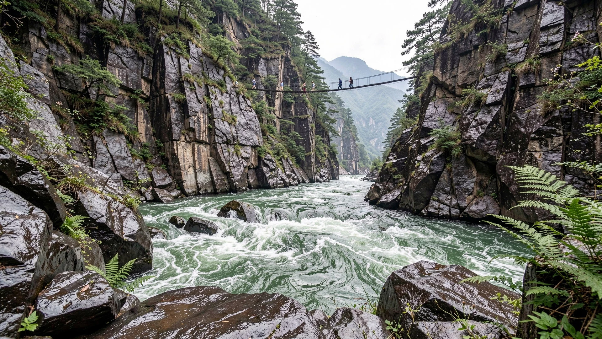
Culture
Three Parallel Rivers National Park sits in Yunnan province, where many ethnic groups live across the river-valley landscape. The region includes Tibetan communities and other minorities commonly listed for Yunnan, and in some places traditional costumes are still worn in daily life. That matters here because the landscape is not just scenery—certain peaks and routes are bound up with belief and local rules.
Kawagarbo, for example, is sacred to Tibetans. In this area, attempting to climb it is treated as disrespectful, and local government has regulations that ban climbing attempts on cultural and religious grounds. That means the “adventure summit” mindset doesn’t translate well in every direction, and it’s worth reading the local context through guides rather than assumptions.
More broadly, the park’s cultural logic is: mountains can be meaningful, not just climbable. Other nearby mountains may be legally climbable, so if you’re set on a trek, treat it as a question of legality and local guidance—not a standard bucket list.
Visitor etiquette: respect sacred sites—do not climb or approach restricted peaks, and follow your guide’s instructions on where photography and movement are appropriate.
What to wear
In the Three Parallel Rivers region, traditional dress varies by community, and some groups still wear their traditional clothing as part of everyday life. You’ll often see colourful textiles, layered items, and distinctive headwear or accessories that help identify people within their communities. It’s more common to notice this in villages and local markets than on the big “transit corridor”.
What visitors typically wear now is practical outdoor clothing: breathable layers, a waterproof shell if rain is about, and sturdy footwear for uneven paths. Daytime in mountain valleys can feel changeable, so packing for temperature swings matters more than chasing one “right” outfit.
For visitors, modesty is the safe default. In towns and around cultural sites, keep shoulders and midriffs covered, and avoid overly flashy or revealing outfits when you’re passing through local spaces. On trekking days, wear long trousers, bring sun protection, and choose shoes with grip—mud and loose rock are common worries in mountainous terrain.
If you’re planning to visit viewpoints at dawn, bring a warm layer and gloves; mornings can feel significantly colder than afternoons at elevation.
What to eat
- Yunnan-style rice and vegetable dishes — Guesthouses and small restaurants in Dali, Lijiang, Shangri-la routes and valley towns
In Three Parallel Rivers gateways, you’ll commonly find simple rice-based meals with stir-fried vegetables and local greens. Look for set meals at guesthouses or small eateries near the main tourist towns before heading out to the valleys. It’s filling food for travel days.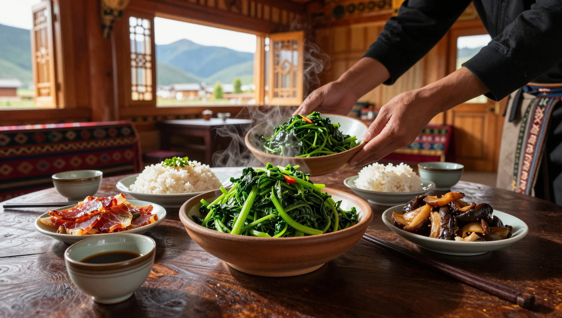
- Cross-bridge style noodle meals — Restaurants in the Yunnan tourist trail cities
Noodles are a dependable comfort food here, and some places in the Yunnan trail cities serve “cross-bridge” style dishes with broth and toppings on the side. It’s a warm reset after cool mornings and helps you recover quickly before another leg of travel.
- Hot soups for cold mornings — Any local eatery near trekking start points and hotel strips
Mountain travel often means chilly starts, and warm soups show up as an easy option. Choose whatever the local menu offers—clear broths with veg, egg, and seasonal ingredients. Even a basic bowl can be a lifesaver before sunrise viewpoints. - Market snacks: steamed buns and pickles — Markets and street stalls around bus stations and town centres
Carry-and-go snacks tend to be practical: steamed buns, dumplings, and small pickles or preserved sides. Markets and street stalls near bus stations are often the most convenient place to stock up for a long day of roads, viewpoints, and trails. - Local dairy and tea — Tea houses and eateries in town centres along the approach routes
Given the Tibetan cultural influence in parts of the region, you may come across dairy-forward tea drinks or simple dairy items, alongside regionally flavoured teas. Treat it as a “try a small amount first” category and keep an eye on how it sits with your travel stomach.
Plan it
Best time. March–April and October–November are your friend here, as those are the best months listed for the region; June can bring rainy conditions and summers can feel hot and humid in Yunnan.
How long. 4–6
Getting there. Access usually comes from Dali, Lijiang, or Shangri-la (airports in each city, plus trains to Dali and Lijiang, and buses to all three). Then take onward buses: for the Jinsha (Yangtze) and Lancang (Mekong) valleys use the G214 national road corridor, and for the Nu (Salween) valley use the S228 provincial road.
Budget. mid
Tips
- Build in acclimatisation time before trekking higher terrain; altitude is a real risk here.
- For the Jinsha and Lancang valleys, expect to use road corridors like G214; for the Nu valley expect provincial-road routing like S228 (sometimes with bus changes).
- Nearly everyone joins a trekking group or hires a local guide—remote country and limited foreign-language support make this practical, not optional.
- If heavy rain is in the forecast, avoid being on roads in the mountains; landslides can happen during and after heavy rain.
- Focus on early starts for sunrise-view areas, especially around Kawagarbo-linked viewpoints.
Etiquette
- Do not attempt to climb Kawagarbo; it’s sacred and climbing attempts are banned.
- Follow local guidance on where trekking is legal and where it’s not—swap “ambition” for “permission”.
- Respect quiet behaviour around sacred spaces and sacred peaks; keep voices down and avoid disruptive movement.
Nearby
Sources
- Wikidata Q575035 (CC0)
- Wikipedia (rev 1366157081) (CC BY-SA 4.0)
- Wikivoyage (rev 5116039) (CC BY-SA 4.0)
- Photo photos/01-three-parallel-rivers-of-yunnan-protected-areas-map01.png (CC BY 3.0)
- Photo photos/02-56762-yunnan-three-parallel-rivers-02.jpg (CC BY 2.5)
- Photo photos/03-2025-05-10-03.jpg (CC BY-SA 4.0)
- Photo photos/04-where-river-nu-originates-543159679.jpg (CC BY 2.5)
- Photo photos/05-lancang-river-485606714.jpg (CC BY 2.5)
- Photo photos/06-upper-yangtze-river-437149366.jpg (CC BY 2.5)
- Photo photos/07-yangzi-river-by-peter-morgan.jpg (CC BY 2.5)
- Photo photos/08-der-jesuiten-atlas-der-kanghsi-zeit-china-und-die-aussenlaen.jpg (Public domain)


