Thaba Bosiu
Thaba Bosiu, Lesotho
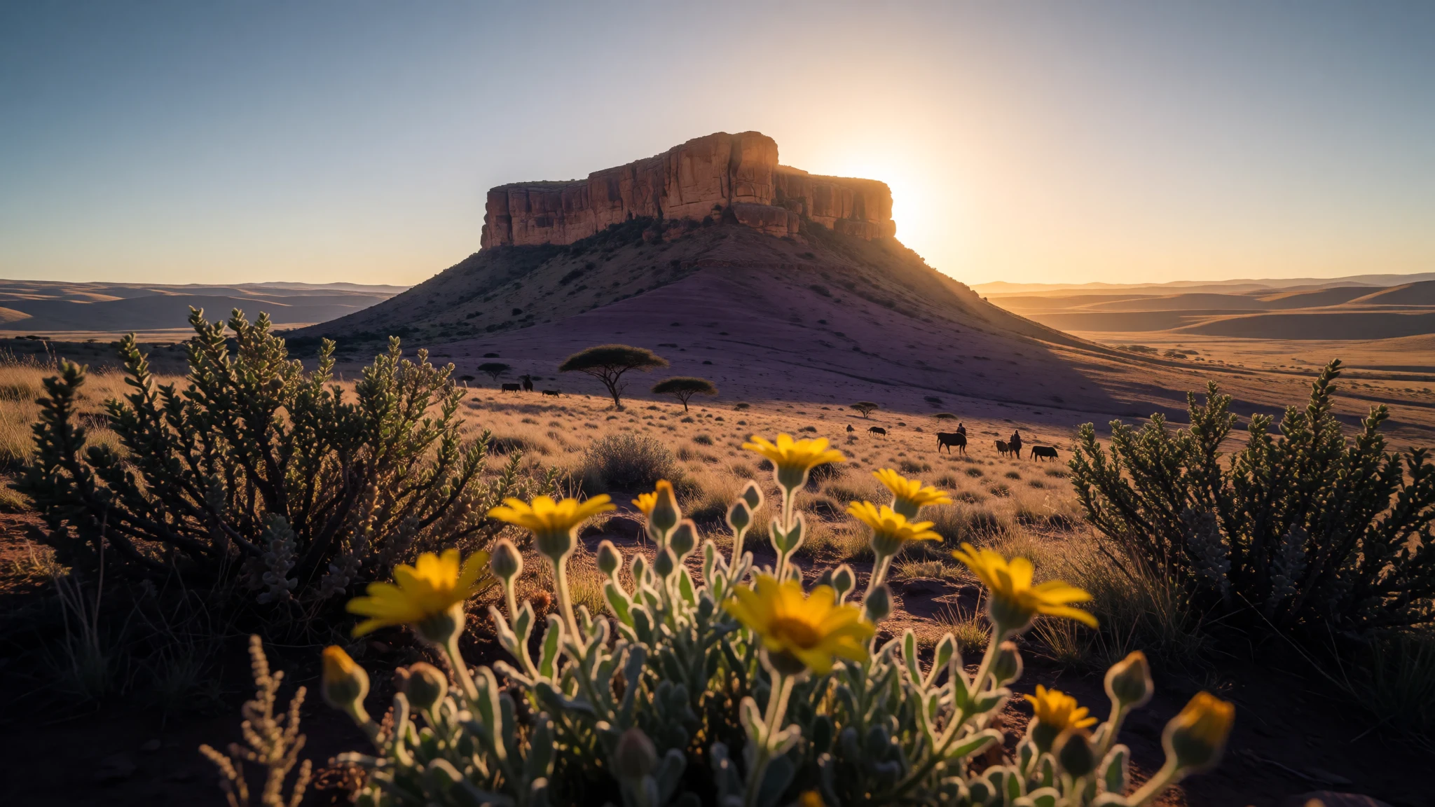
Thaba Bosiu is a high sandstone stronghold where Basotho royal history meets wide mountain views, reachable from Maseru.
The place
Thaba Bosiu is both a place name and a sandstone plateau in Lesotho, set between the Orange and Caledon Rivers in the Maseru District. The plateau sits at an elevation of 1,804 metres and forms a compact, climbable summit landscape rather than a sprawling town. Historically, it’s remembered as a stronghold for King Moshoeshoe, with the important caveat that this is not a “ruins-only” stop—royal memorials and living local culture sit alongside the dramatic rock setting.
In practical travel terms, Thaba Bosiu works best as a straightforward day trip from Maseru. The approach is simple: follow signs from Maseru in the direction of Roma, then look for the Thaba Bosiu sign. A road section is gravel/tarmac and is described as suitable for saloon cars, which makes the logistics feel manageable even without a four-wheel-drive.
On arrival, there’s an information centre on the left in the next building on the main road, just after you pass the entrance to a cultural village. From there, visitors can learn the history tied to Moshoeshoe and the formation of the Basotho nation before heading up to explore the ruins and cemetery area. The cultural village below the plateau is a modern reconstruction and is still a work in progress, but it’s useful for context and for understanding how local heritage is being presented.
It’s a relatively quiet destination compared with big-ticket heritage sites, but it isn’t “energy-free”: it involves a climb, sun exposure, and careful footing on rocky ground at altitude.
Its story
Thaba Bosiu’s story begins with geography doing the heavy lifting. A sandstone plateau, raised to 1,804 metres, naturally concentrates movement and visibility: it’s easier to defend, easier to monitor, and harder to approach unseen. That physical reality helped turn Thaba Bosiu into Moshoeshoe’s stronghold, a place where leadership and survival were bound to the mountain’s contours.
The plateau later became closely associated with burial and remembrance. King Moshoeshoe is buried on Thaba Bosiu alongside other royals, so the place reads differently from a typical historical site: it’s not just about what happened, but about who is still connected to the rock itself. The cemetery character gives the ruins a quieter weight. Even on a bright day, the setting invites a slower pace.
Below the summit, a cultural village offers another layer of interpretation. This reconstruction is intended to present how the village at the top once functioned—essentially translating the stronghold into a more visit-friendly space. The rebuild is described as not complete yet, which means the experience can feel half-lesson, half-exploration, depending on what is open.
For travellers, the best way to “read” Thaba Bosiu is to treat it as a paired route: start with history briefing at the information centre on the main road, then move up to the ruins and burial area while the landscape is still fresh in mind. That rhythm turns the mountain from scenery into context.
What to see
- King Moshoeshoe’s grave — Thaba Bosiu summit area
King Moshoeshoe is buried on Thaba Bosiu, and his resting place sits right in the main summit area. Seeing it in person is the quickest way to understand why this plateau is more than scenery.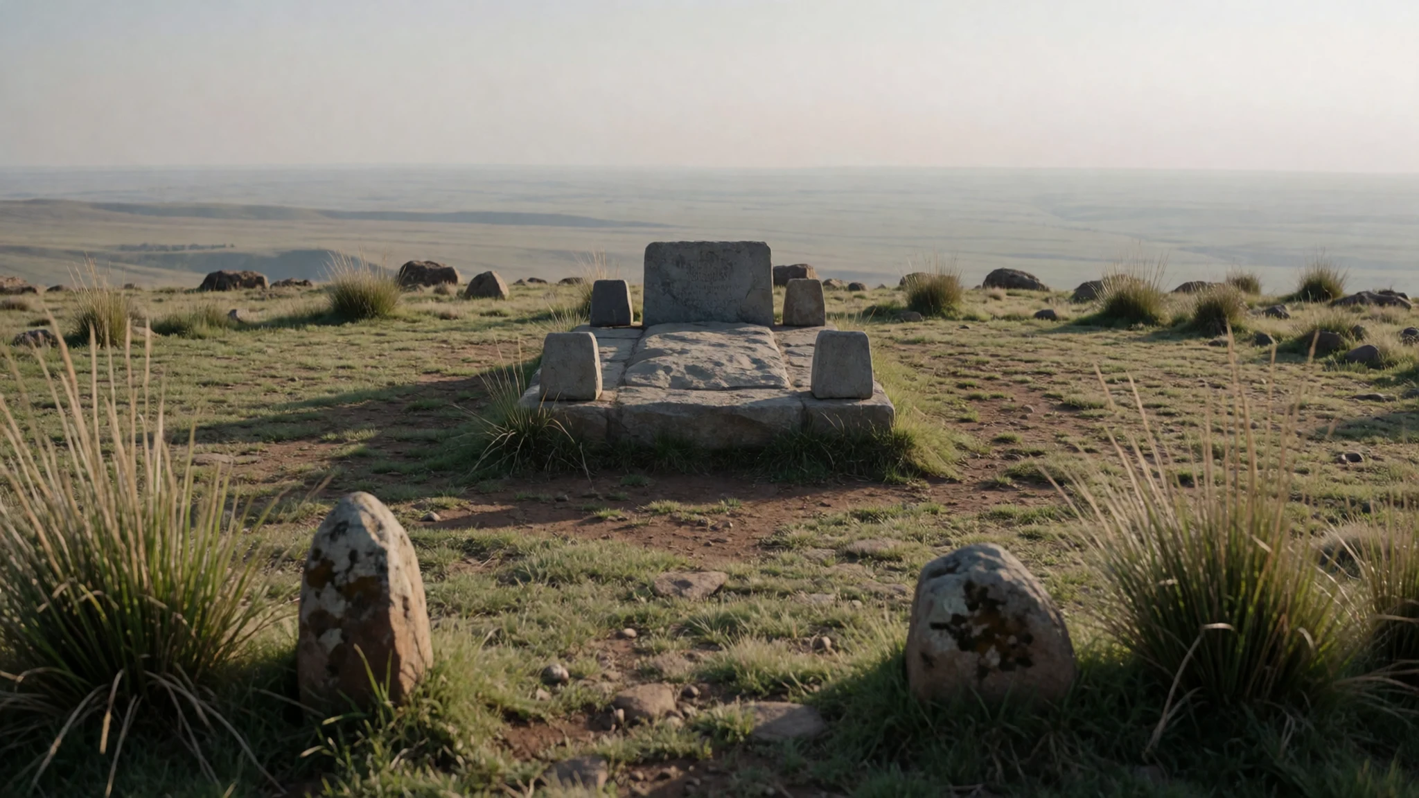
- Graves of royals and other memorials — Thaba Bosiu summit area
Thaba Bosiu is also home to other royals’ burials, which cluster the memorial landscape into a focused cemetery experience. The area feels deliberately arranged—part history lesson, part place of remembrance—rather than a set of separate viewpoints.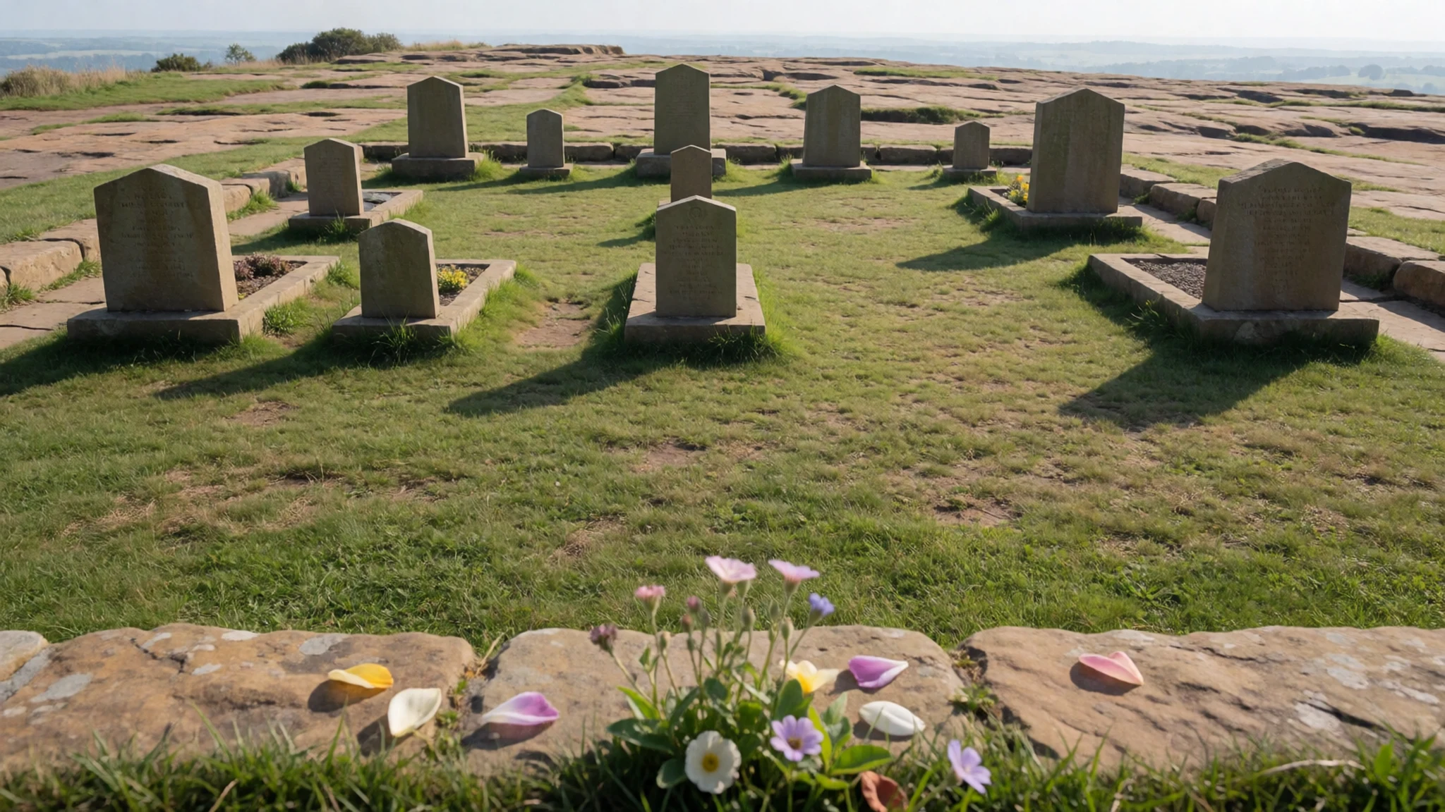
- Ruins and stronghold landscape — Thaba Bosiu plateau ruins area
Thaba Bosiu’s ruins sit on top of the plateau, so the terrain itself is part of the story. Standing on the heights, it’s easier to connect the layout with the idea of a stronghold—tight, defensible, and visually commanding.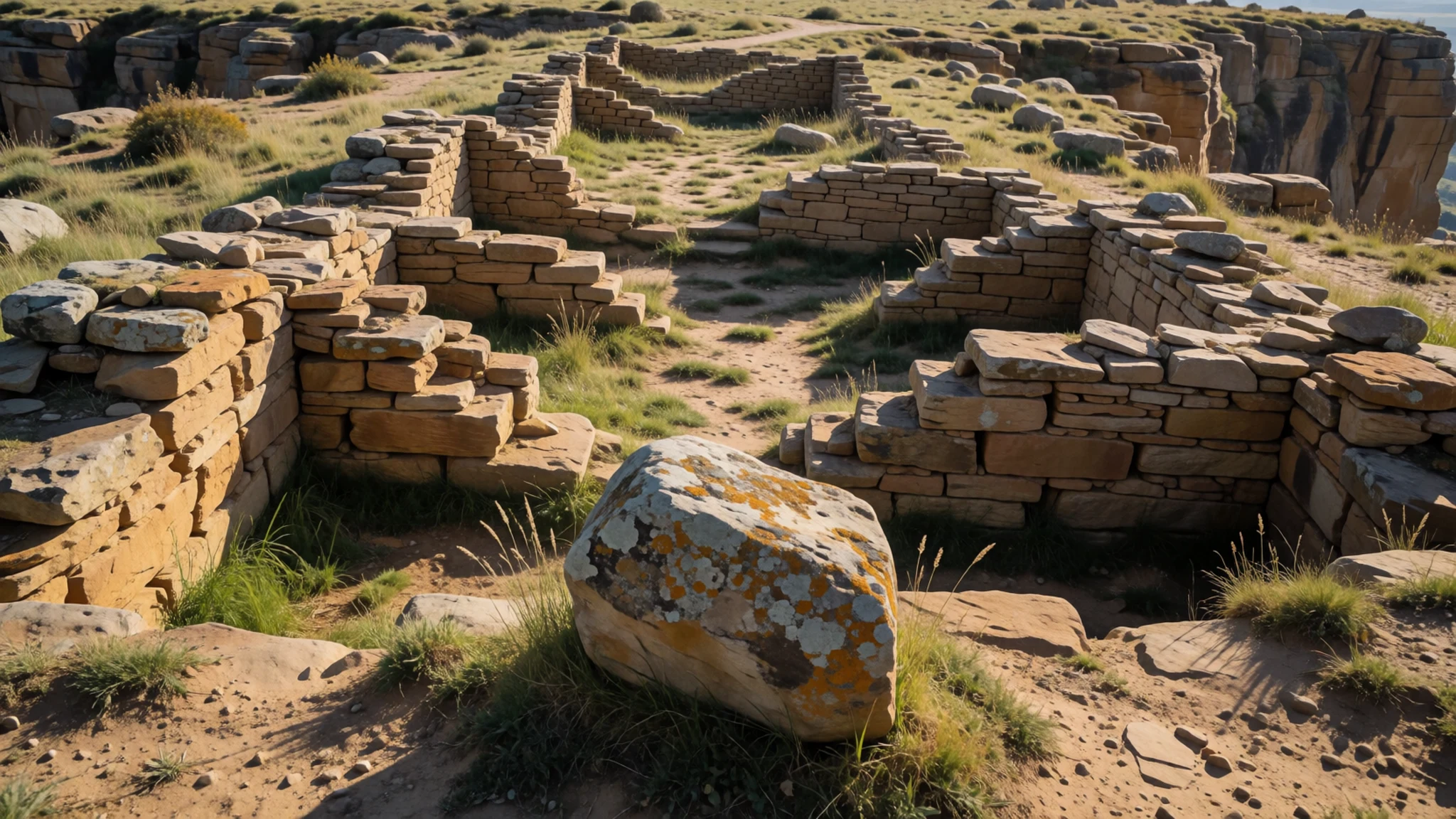
- Cultural village reconstruction below the plateau — Cultural village area on the plain below the plateau
The cultural village is a modern reconstruction on the plain below Thaba Bosiu, set up to give context through cultural tours. It’s not complete yet, but it helps anchor what was happening at the top in a more understandable, day-visit setting.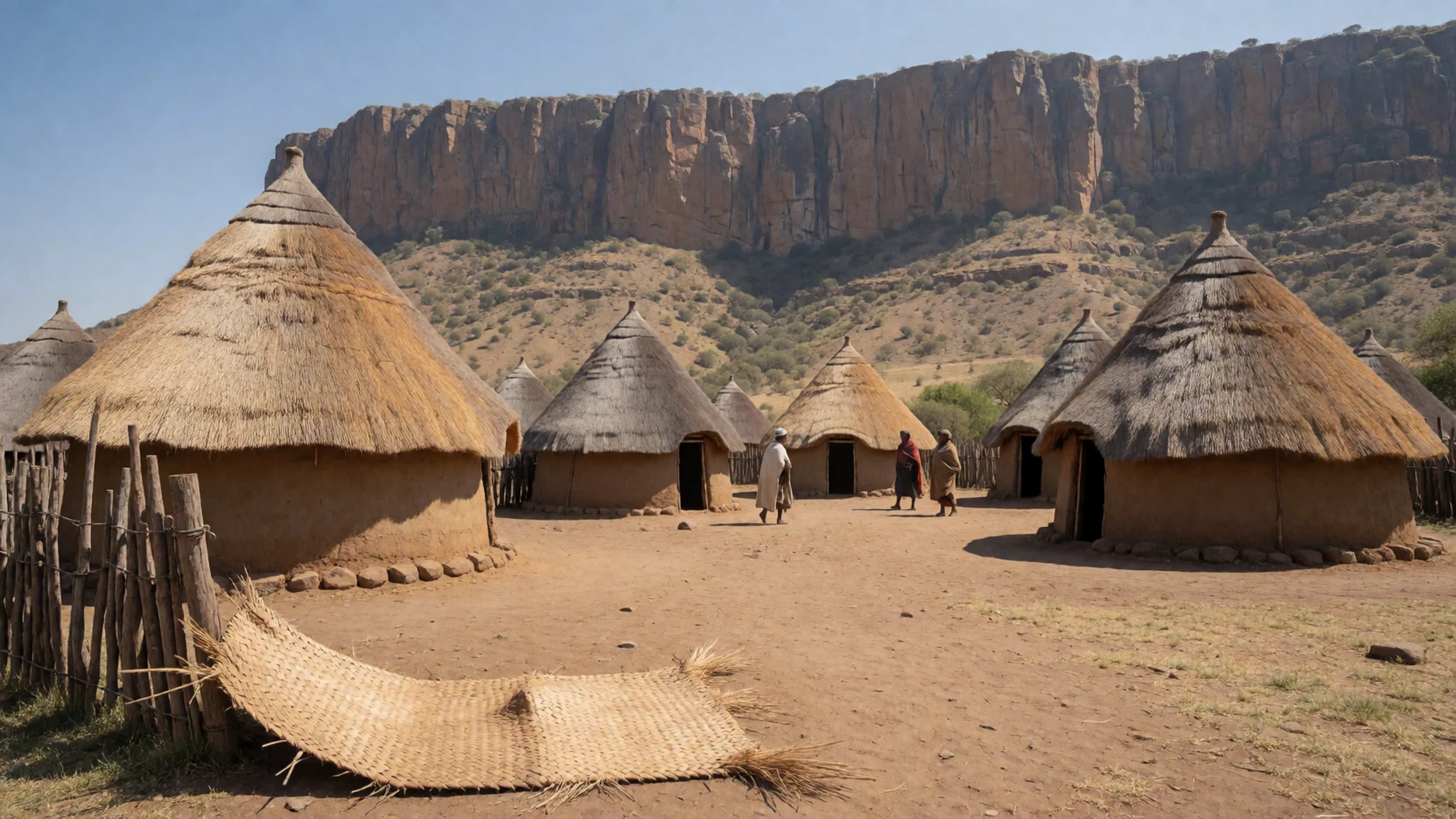
- Information centre briefing and guided context — Main road access near the cultural village entrance
The information centre is described as being just beyond the cultural village entrance on the main road, on the left-hand side. A short history rundown here makes the climb feel purposeful, especially if the summit exploration is done with a guide.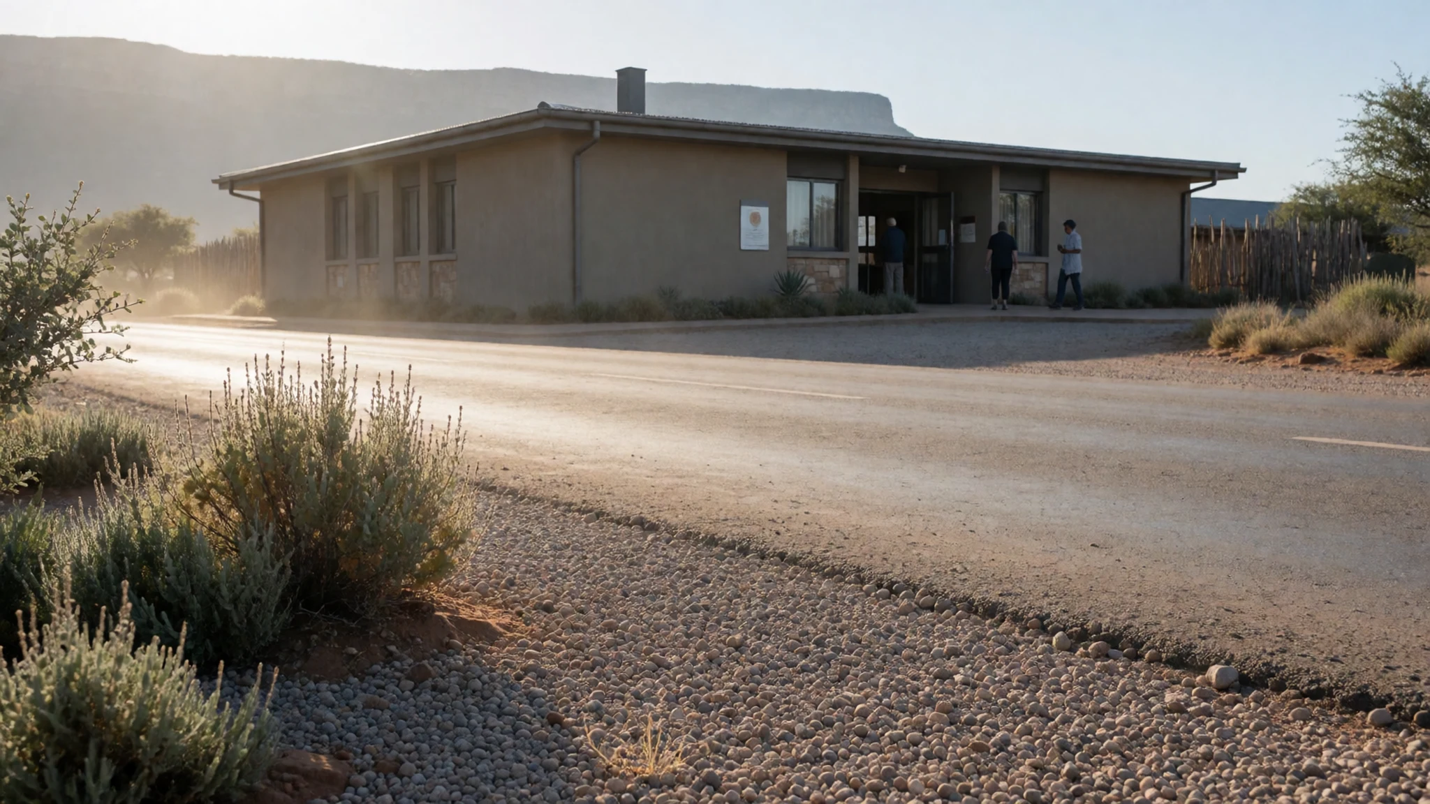
Culture
Thaba Bosiu mixes landscape, history and a cemetery setting, so visitor behaviour matters more than at a typical viewpoint. Because King Moshoeshoe and other royals are buried on the plateau, the mood tends to be quieter and more respectful by default. Visits usually begin at the information centre by the main road, where historical context is shared, and then move up to the ruins and burial area.
Dress is best kept practical and modest: the climb is on mountain ground, so shoes with good grip matter, but clothing should also avoid anything too revealing for a respectful memorial site. Photography is usually possible, but it should never interrupt people who are quietly observing or moving through the memorial area.
In the cultural village below, the “reconstruction” character means some areas may be under development. That can translate to uneven pathways or works-in-progress, so it helps to keep to marked routes and follow staff guidance rather than wandering into unclear corners. Talking with guides in a patient, friendly way goes a long way—this is a place where storytelling is part of the visit.
Visitor etiquette: keep voices low in the burial area, dress modestly, and only take photos after checking you are not blocking others.
What to wear
At Thaba Bosiu, the terrain and the memorial setting shape what people wear. Traditional dress in Lesotho is strongly associated with Basotho identity, and visitors commonly see locally made fabrics and blankets used as everyday layers, especially when temperatures shift in the mountains. On the cultural village plain below the plateau, reconstructed village life often highlights textiles and clothing tied to Basotho heritage.
Day-to-day, people visiting Thaba Bosiu tend to dress for movement first: comfortable trousers or skirts that allow a steady climb, and layers for changes in light and breeze at altitude. Footwear is the key choice—rocky ground and uneven footing make supportive shoes far more useful than sandals.
For visitors, aim for practical modest clothing: knees covered and shoulders not too bare for respectful movement near the cemetery area. Bring a light jacket or warm layer because mountain air can feel cooler even on a bright day. If the cultural village has areas that feel under construction, closed-toe shoes also help keep the day smooth and safe.
What to eat
- Cooked maize-based staples — Maseru restaurants and local eateries
In and around Maseru, you’ll typically find maize dishes served hot, often as the foundation of a simple meal. Look for a local eatery or food stall where plates are served to order for travellers on day trips to Thaba Bosiu.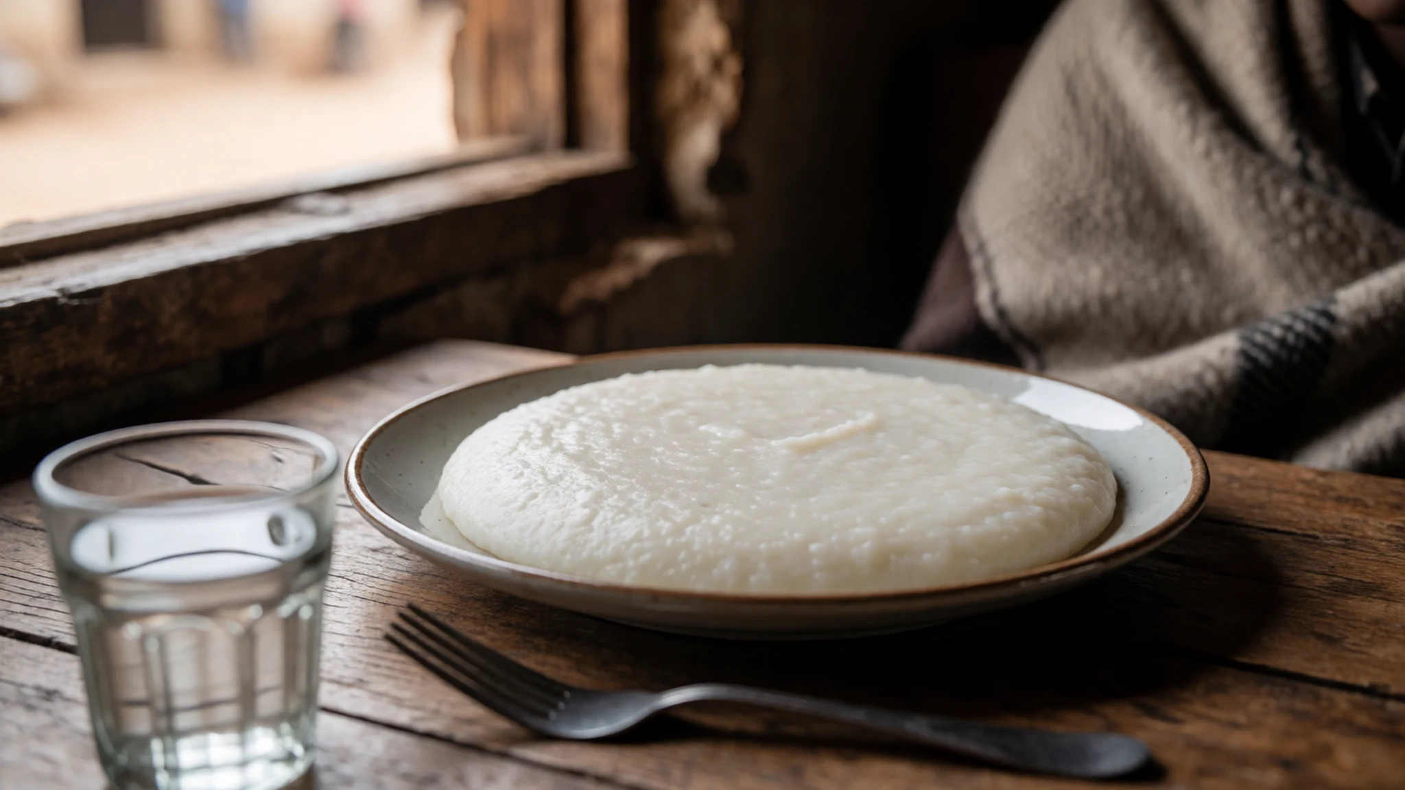
- Lesotho-style soups and stews — Maseru casual restaurants
A hearty stew or soup is an easy match for mountain weather, with vegetables and slow-cooked flavours that feel comforting after a climb. These are commonly served at casual restaurants in Maseru before or after the trip.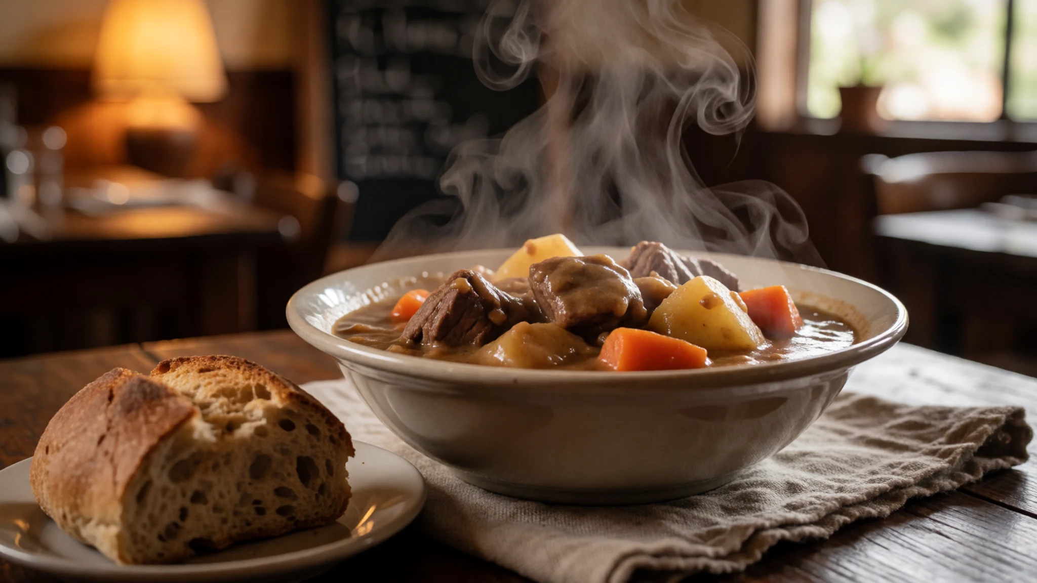
- Bread and savoury snacks for the road — Small shops and snack stops in central Maseru
For a day trip, grab something quick—simple breads or savoury snacks—so the schedule doesn’t turn into a long wait. This kind of food is usually easiest to find from small shops in central Maseru. - Hot drinks after sightseeing — Cafés in Maseru and roadside stops
After time outside on the plateau, hot tea or another warm drink can make the day feel calmer. It’s the sort of pause you can build in back in Maseru at a café or roadside stop. - Sweet treats in Maseru — Bakery counters and dessert sections in Maseru
If there’s time after the hike, sweet bakery items or small desserts are an easy way to finish. Choose somewhere central in Maseru rather than trying to time a specific place on a day trip.
Plan it
Best time. March–April for pleasant conditions and clear visibility; October–November for comfortable weather and longer outdoor time. June can be cold at elevation, while summer months can feel more intense.
How long. 2–3
Getting there. From Maseru, follow signs towards Roma and then look for the sign to Thaba Bosiu; the road is described as gravel/tarmac and suitable for saloon cars. The final approach is by car, with the cultural village and information centre off to the left as you come from Maseru.
Budget. mid
Tips
- Start with the information centre so the climb and ruins make sense immediately.
- Plan the summit as a steady hike; the plateau is at 1,804 metres, so take breaks and move carefully.
- Use the cultural village below the plateau for context—especially if the reconstructed areas are open.
- Bring water for the outdoor time and keep sun protection handy.
Etiquette
- Keep respectful behaviour in the burial area and speak quietly.
- Dress modestly and choose footwear with grip for rocky, uneven ground.
- Follow staff guidance around the cultural village, since parts are still under development.
Nearby
Sources
- Wikidata Q2408243 (CC0)
- Wikipedia (rev 1369724140) (CC BY-SA 4.0)
- Wikivoyage (rev 5163733) (CC BY-SA 4.0)
- Photo photos/01-685-thaba-bosiu.jpg (CC0 1.0)
- Photo photos/02-grave-of-king-moshoeshoe-i.jpg (CC0 1.0)
- Photo photos/03-great-trek-map-full.png (CC BY-SA 4.0)
- Photo photos/04-lessouto-colline-de-quiloane-pr-s-thaba-bossiou.jpg (Public domain)
- Photo photos/05-lessouto-sur-la-montagne-de-thaba-bossiou.jpg (Public domain)
- Photo photos/06-lessouto-tombes-de-chefs-bassoutos-thaba-bossiou.jpg (Public domain)
- Photo photos/07-louw-wepener-grave-bethulie02.jpg (CC BY 3.0)
- Photo photos/08-thaba-bosigo-panoramio.jpg (CC BY 3.0)


