Sierra Nevada de Santa Marta
Sierra Nevada de Santa Marta, Colombia
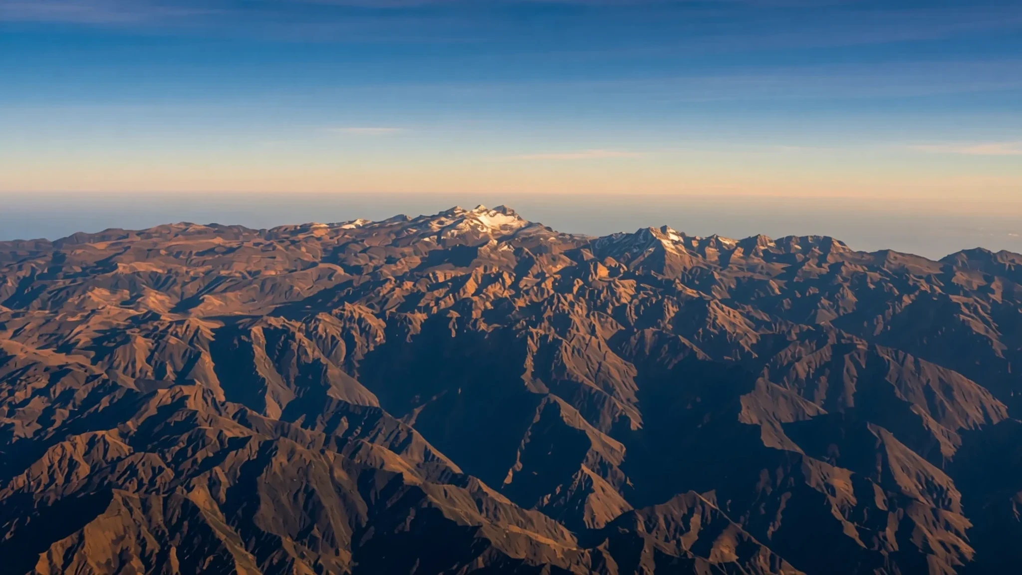
Rise above the Caribbean coast to explore the highest coastal mountain range in the tropics, where snow-capped peaks tower over ancient forests.
The place
The Sierra Nevada de Santa Marta stands as an isolated, compact massif in northern Colombia, entirely separate from the Andean chain that cuts through the rest of the country. This dramatic landscape rises sharply from the Caribbean shores, creating one of the highest coastal elevations on earth. Because the surrounding lowlands drop down significantly, the massif gains immense visual prominence, its highest summits catching the tropical light above changing ecological zones that shift rapidly from humid coastal vegetation to cool Andean-style forests and alpine moorlands.
Formed from ancient metamorphic rock formations including schists, gneisses, and intrusive granites, the range creates a formidable physical barrier along the northern fringe of the continent. The northwestern coastline presents an indented margin of steep headlands and rocky cliffs, alternating with pocket beaches formed by ancient alluvial deposits. Dozens of rivers descend radially from the high central core, carving deep valleys that nourish distinct biological niches across multiple departments. This geographical isolation has allowed unique flora and fauna to evolve undisturbed, making the protected reserve an irreplaceable sanctuary for regional biodiversity.
Weather and climate shift dramatically with elevation. While the low-lying fringes experience humid tropical warmth, the upper mountain slopes capture substantial rainfall, feeding a dense web of waterways. Clouds frequently cloak the middle ridges, nurturing moss-draped cloud forests before giving way to stark, windswept high altitudes near the summits.
Its story
For centuries, the rugged slopes of the Sierra Nevada have sheltered traditional indigenous communities who view the massif as the heart of the world. Long before external explorers mapped its jagged contours, ancestral groups established intricate stone pathways, agricultural terraces, and settlement networks connected across the steep vertical gradients. These societies developed profound ecological knowledge, maintaining a delicate spiritual and physical balance with the mountain environment from the warm coastal lowlands up to the glacial margins.
The colonial era brought profound disruption as Spanish expeditions probed the fringes of the range, seeking gold and establishing coastal outposts such as Santa Marta. Despite pressures from colonial authorities and later republican expansion, the indigenous inhabitants retreated deeper into the upper river valleys, preserving their languages, governance systems, and traditional dress away from lowland influences. Their enduring presence helped protect the forested watersheds against unmanaged exploitation.
In modern times, formal recognition arrived with the establishment of conservation protections, aimed at preserving both the fragile mountain ecosystems and the cultural heritage of the resident communities. The establishment of the reserve marked a commitment to safeguarding the natural water sources that sustain the wider Caribbean coastal plains. Today, the massif remains a living landscape where ancient traditions persist alongside contemporary conservation efforts, reminding visitors of the deep historical ties between human societies and extreme mountain environments.
What to see
- The High Snow Peaks — Central High Massif
Gaze toward the soaring upper summits of the range, including the disputed highest points of Pico Cristóbal Colón and Pico Simón Bolívar. These glacial crowns tower above the clouds, visible on clear mornings from distant lowland vantage points across the northern departments.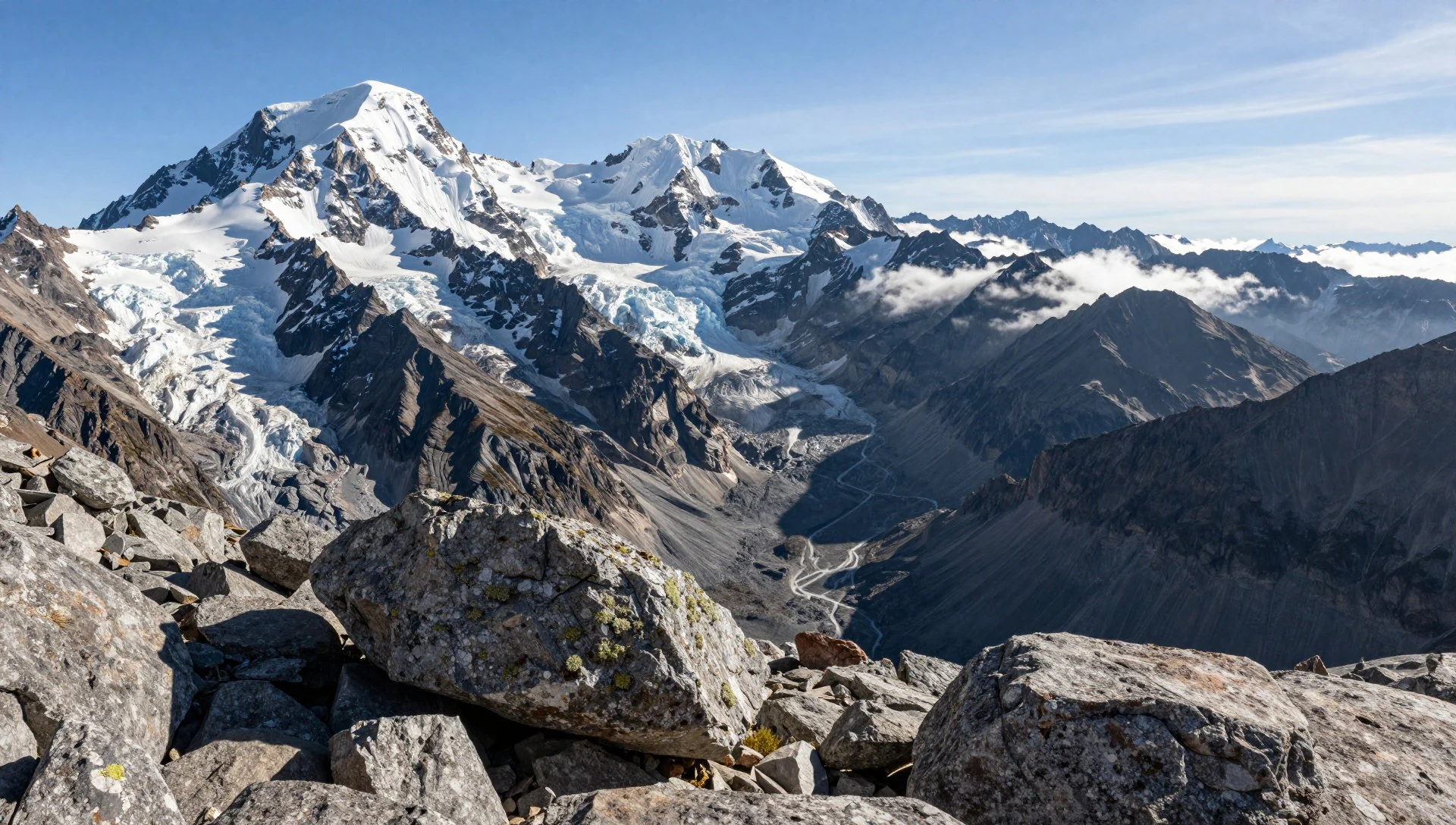
- Cloud Forest Slopes — Mid-Elevation Slopes
Wander through the damp, mist-shrouded middle elevations where thick carpets of moss, orchids, and towering ferns cling to ancient trees. This humid zone acts as a biological sponge, capturing moisture from ocean winds and feeding the numerous rivers that radiate outward.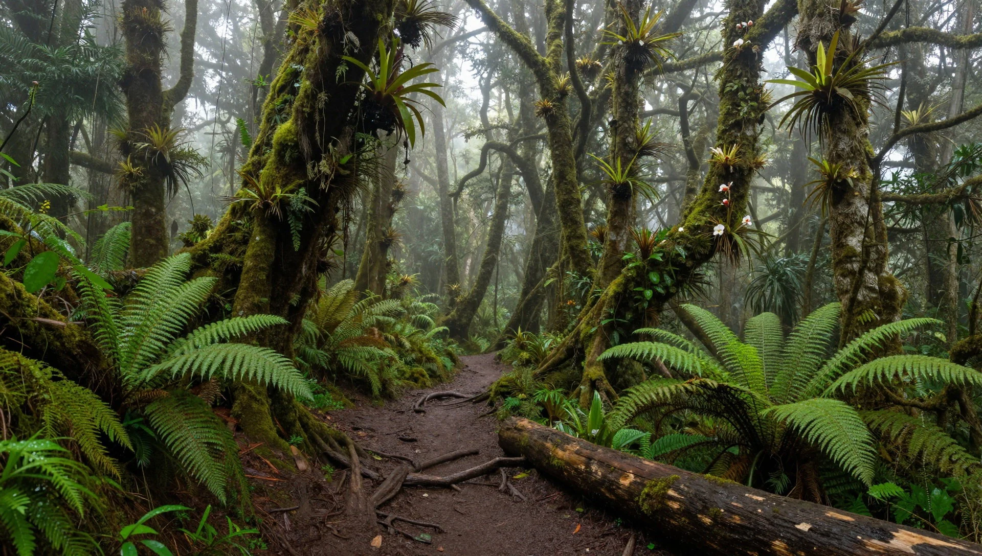
- Coastal Headlands and Embayments — Northwestern Coastline
Explore the northwestern margin where rugged granite cliffs drop sharply into the Caribbean Sea. These rocky headlands shelter secluded sandy pocket beaches and dynamic shorelines shaped by centuries of wave action and mountain runoff.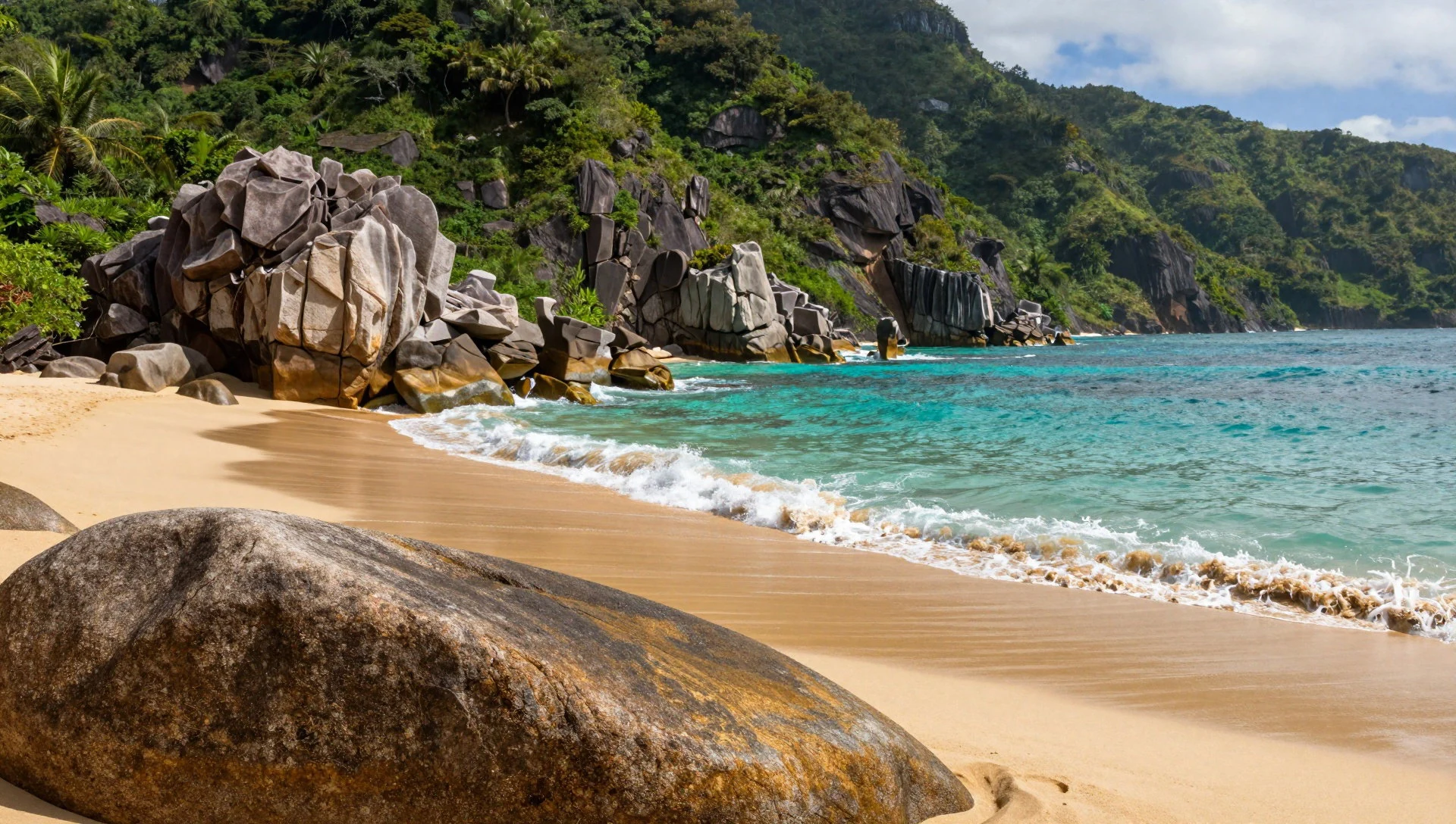
- River Valleys and Terraces — Magdalena Foothills
Follow the lower river corridors where ancient agricultural terraces and stone pathways trace the routes used by traditional communities for centuries. The rushing waters provide a vital lifeline to the settlements nestled in the fertile lower folds of the range.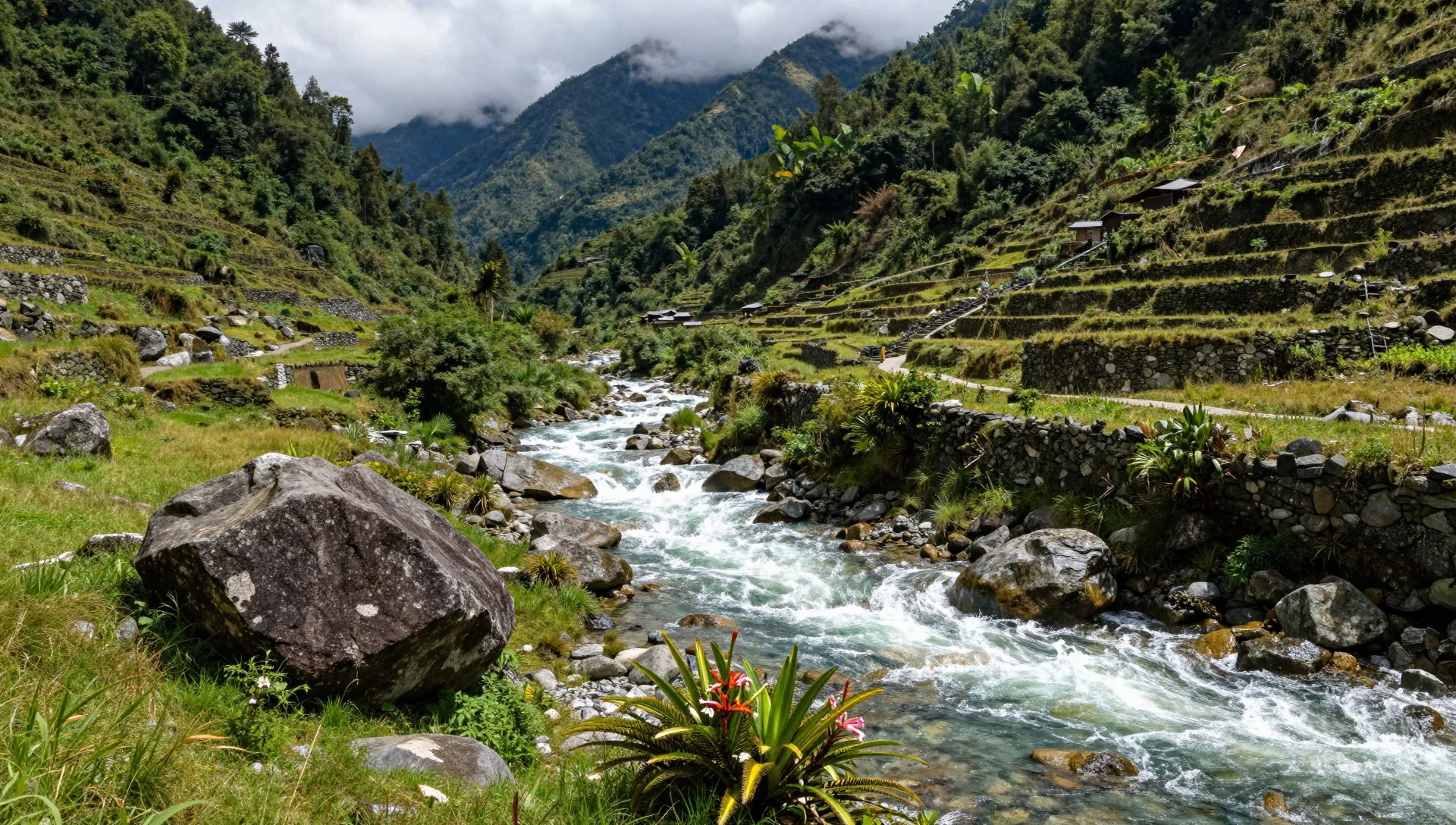
- Valledupar Lookout Vistas — Valledupar Fringe
Look out toward the sprawling southern vistas from the nearby valley approaches, where the massive wall of the mountain range forms an imposing backdrop against the horizon on clear mornings.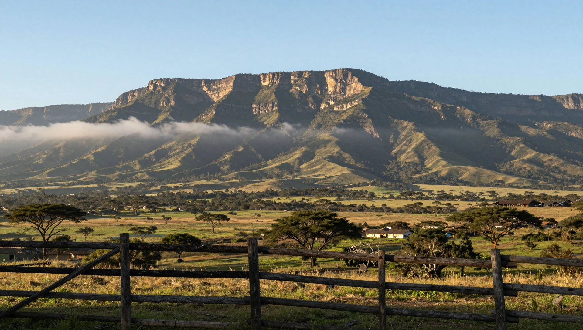
Culture
The cultural fabric of the Sierra Nevada is deeply intertwined with the ancestral traditions of its indigenous populations, including the Kogui, Wiwa, Arhuaco, and Kankuamo nations. These communities maintain a worldview centered on the concept of guardian stewardship, believing they hold the spiritual responsibility of maintaining harmony across the earth. Traditional authority figures within these communities undergo decades of rigorous training in philosophical and ecological principles, serving as community leaders and spiritual guides. Traditional attire remains common, featuring unbleached cotton garments and woven bags that carry personal and symbolic meaning. Modern rural inhabitants of the foothills, known locally as campesinos, share the landscape, engaging in small-scale agriculture and coffee cultivation. Visitors should always respect local customs, ask permission before taking photographs of residents, and tread lightly upon paths that carry profound spiritual significance to the indigenous guardians of the mountain.
What to wear
Traditional dress in the Sierra Nevada reflects both practical mountain survival and distinct cultural identity. Indigenous men and women traditionally wear unspun or hand-woven cotton tunics, often paired with traditional woven bags slung over the shoulder. These textiles are crafted using techniques passed down through generations, utilizing natural fibres suited to the fluctuating mountain temperatures.
In the lower foothill villages and towns, residents wear lightweight, practical clothing suited to the tropical heat, including cotton shirts, denim, and sturdy hats for sun protection.
For visitors exploring the region, appropriate gear is essential. The shifting climates require breathable layers for the warm coastal approaches, waterproof jackets for sudden downpours in the humid mid-elevation forests, and sturdy, broken-in walking boots with good grip for uneven, muddy trails. Modest clothing that covers shoulders and knees is appreciated when visiting traditional rural settlements.
What to eat
- Mountain-Grown Coffee — Local farm cooperatives and foothill markets
Savour rich, shade-grown coffee cultivated on the fertile mid-elevation slopes where cool mist and warm tropical sun produce exceptional beans with complex aromatic profiles.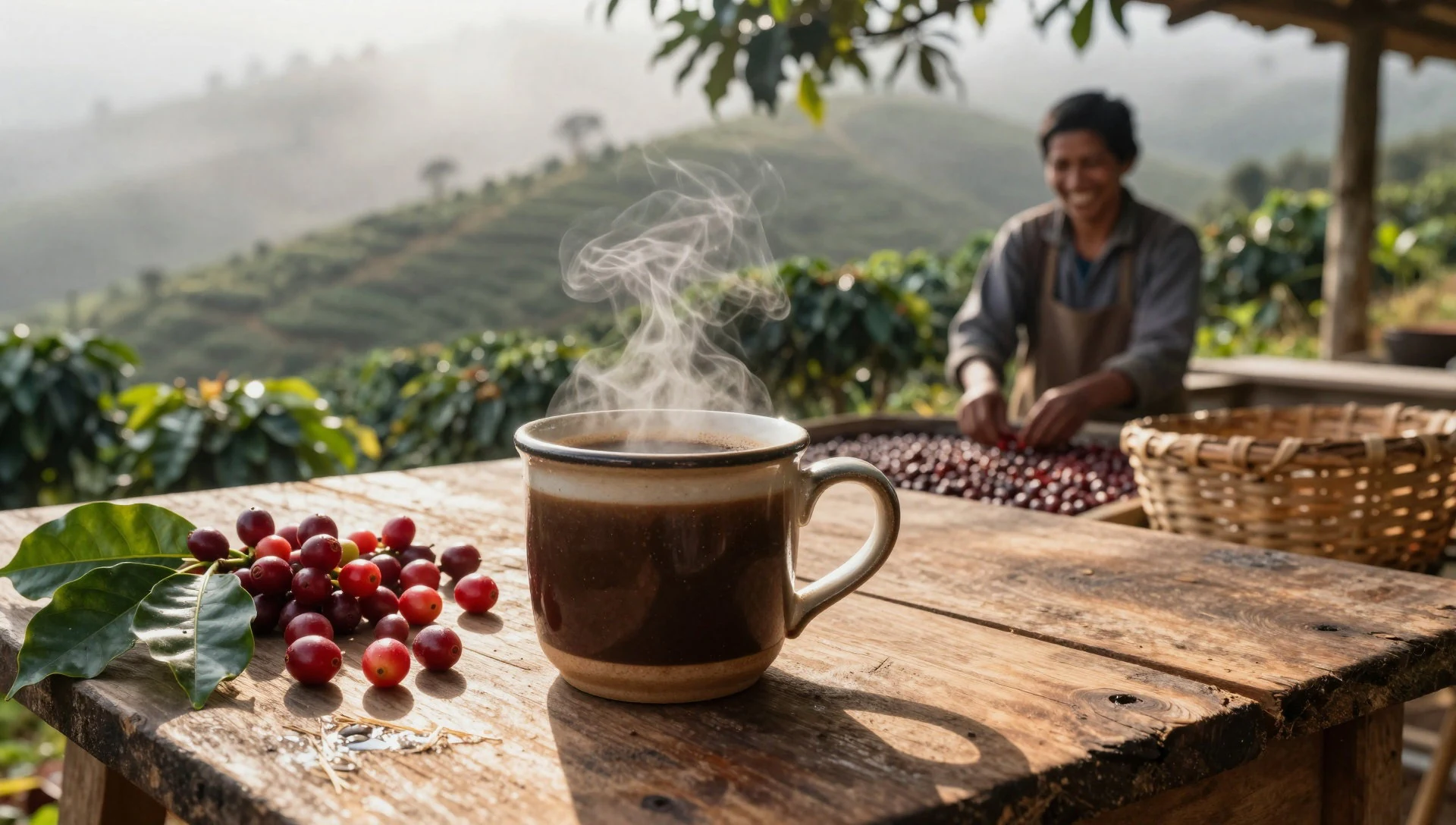
- Arepa de Huevo — Street stalls and roadside eateries near Santa Marta
Sample this coastal classic featuring a crisp maize crust encasing a whole fried egg, often found at morning food stalls throughout the surrounding Magdalena department.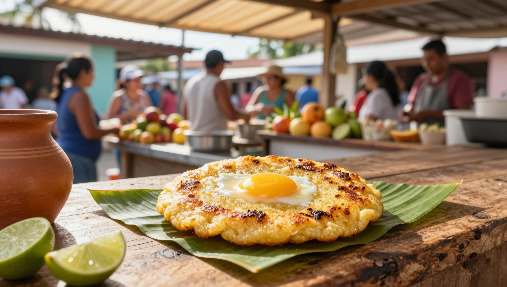
- Fresh River Trout — Rural eateries along mountain river routes
Enjoy locally caught freshwater fish prepared simply with garlic and plantains, commonly served in small family-run dining spots along the rushing mountain river valleys. - Tropical Fruit Juices — Market stalls in regional towns
Refresh yourself with chilled juices made from wild fruits harvested on the lower slopes, including lulo, guanabana, and passion fruit, blended with water or milk. - Sancocho de Gallina — Traditional family kitchens across the region
Warm up with a hearty traditional soup made from free-range chicken, plantain, cassava, and native corn, simmered slowly over wood fires in foothill kitchens.
Plan it
Best time. January to April offers the driest weather and clearest morning views of the high peaks, while October brings the heaviest downpours and muddy trails.
How long. 3–5
Getting there. Fly into Simón Bolívar International Airport in Santa Marta, then hire a 4x4 vehicle or take local transport to reach the foothill villages and trailheads.
Budget. mid
Tips
- Pack sturdy, waterproof footwear suitable for steep, muddy mountain terrain.
- Bring cash in Colombian pesos as rural villages lack card payment facilities.
- Start treks early in the morning to enjoy clear skies before afternoon cloud cover rolls in.
- Respect local conservation rules and stick to established paths.
Etiquette
- Always ask permission before photographing indigenous residents.
- Dress modestly when visiting traditional foothill communities.
- Carry all litter back down with you to protect fragile mountain ecosystems.
Nearby
Sources
- Wikidata Q26728 (CC0)
- Wikipedia (CC BY-SA 4.0)
- Photo 1 (CC BY-SA 4.0)
- Wikivoyage (CC BY-SA 4.0)
