Rila National Park
Rila National Park, Bulgaria
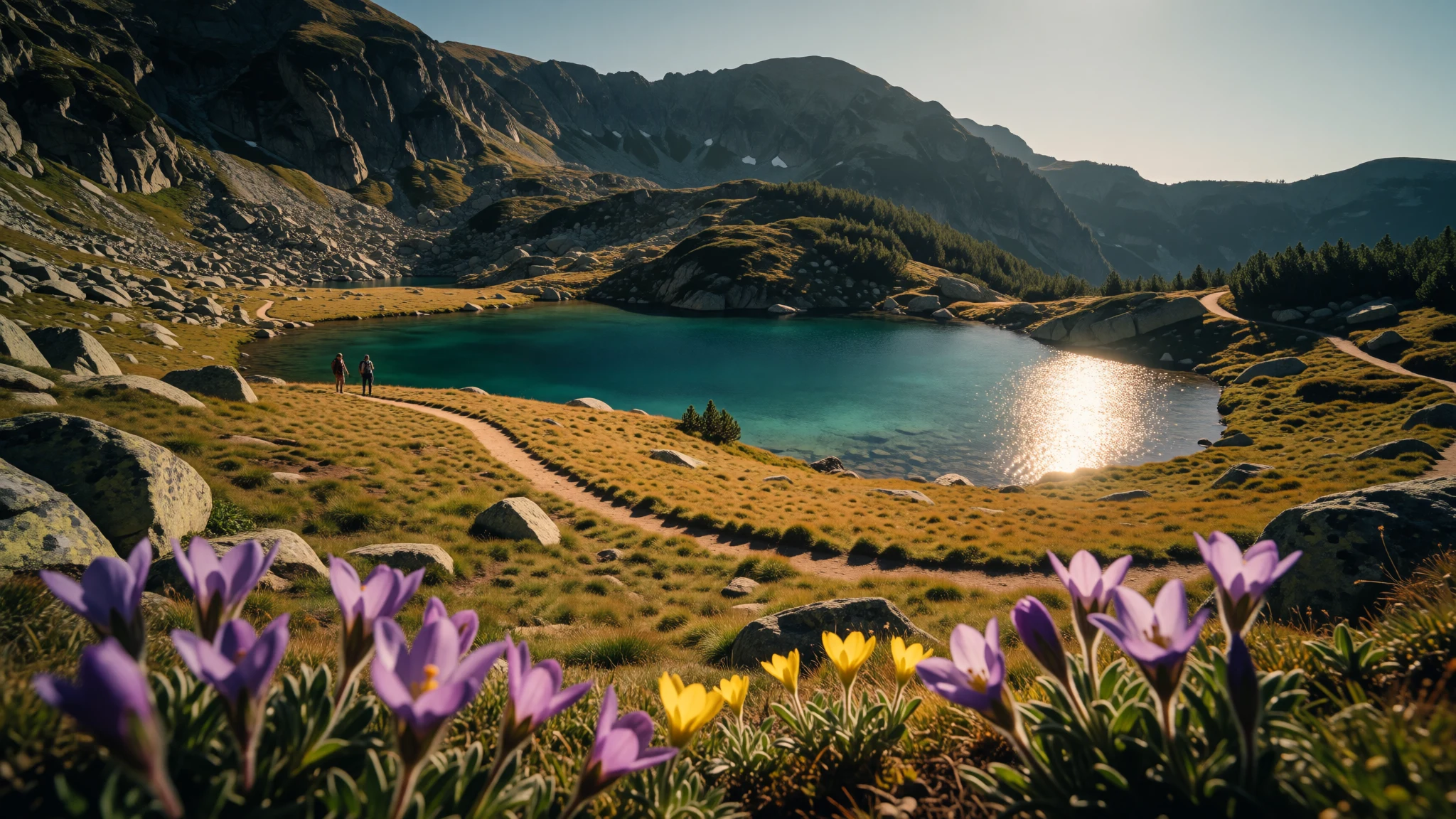
Rila National Park mixes high peaks, glacial lakes and long valleys—ideal for slow walks and proper mountain days.
The place
Rila National Park (Национален парк „Рила“) sits in the Rila mountain range in south-west Bulgaria. It’s the country’s biggest national park, covering 810.46 km² in a compact area where the landscape changes fast: forests start low, and high, rocky terrain comes in close behind.
What makes Rila feel special is how “natural” it stays while still being wonderfully varied. The park is shaped by ice from the past—today you can find 120 glacial lakes scattered through the uplands. The most famous cluster is the Seven Rila Lakes, reached by paths that can feel both remote and very popular depending on season and day of the week.
Rila is also a water park in the truest sense. Several rivers begin in the park, including the Maritsa river, which carries the most water entirely within the Balkans, and the Iskar river (the one that runs the longest entirely within Bulgaria). Even when the weather turns, that sense of drainage and springs keeps the terrain alive.
The altitude range is big—about 800 m near Blagoevgrad up to 2,925 m at Musala Peak, the highest summit in the Balkan Peninsula. That means temperature shifts, cloud cover changes and different vegetation layers from day to day. Plan for mountain weather even when the forecast sounds friendly.
Rila isn’t a “one photo and done” place. It’s built for time in motion: lookouts, lake basins, forest shade and the satisfaction of climbing until the views open right up.
Its story
Rila National Park was established on 24 February 1992, with a straightforward goal: protect ecosystems of national importance across the Rila range. The park’s story isn’t just administrative—it shows up in the way the land is structured, from its altitude bands to its glacial history.
As you move upward, the park’s character changes. The climb from roughly 800 m near Blagoevgrad towards 2,925 m at Musala Peak brings different habitats into view, and the mountains don’t let you forget where you are. On clearer days, the terrain reads like layers—forest and slopes below giving way to higher rock and open sky.
One of the clearest “clues” left by nature’s past is water. Rila contains 120 glacial lakes, including the prominent Seven Rila Lakes. That means many trails are, in effect, following ancient ice-work: basins carved and then refilled as climates changed.
The park also influences Bulgaria beyond its boundaries. Rivers have their sources inside the national park, and two of them are singled out for running entirely within major regions: the Maritsa (the one carrying the most water entirely within the Balkans) and the Iskar (the one running the longest entirely within Bulgaria). In other words, visiting Rila is a way of seeing where landscapes “start” for a much bigger geography.
Rila’s reach is administrative as well. It occupies territory in four provinces—Sofia, Kyustendil, Blagoevgrad and Pazardzhik—and it includes four nature reserves. These protected pockets help explain why the park feels both big and well-preserved: it’s not a single park experience, but a network of landscapes working together.
What to see
- Seven Rila Lakes circuit — Rila mountains
Rila’s best-known lake basins, reached on mountain paths that climb into classic glacial terrain. It’s a walk that rewards timing: the same view can feel calm in the morning and busier later in the day.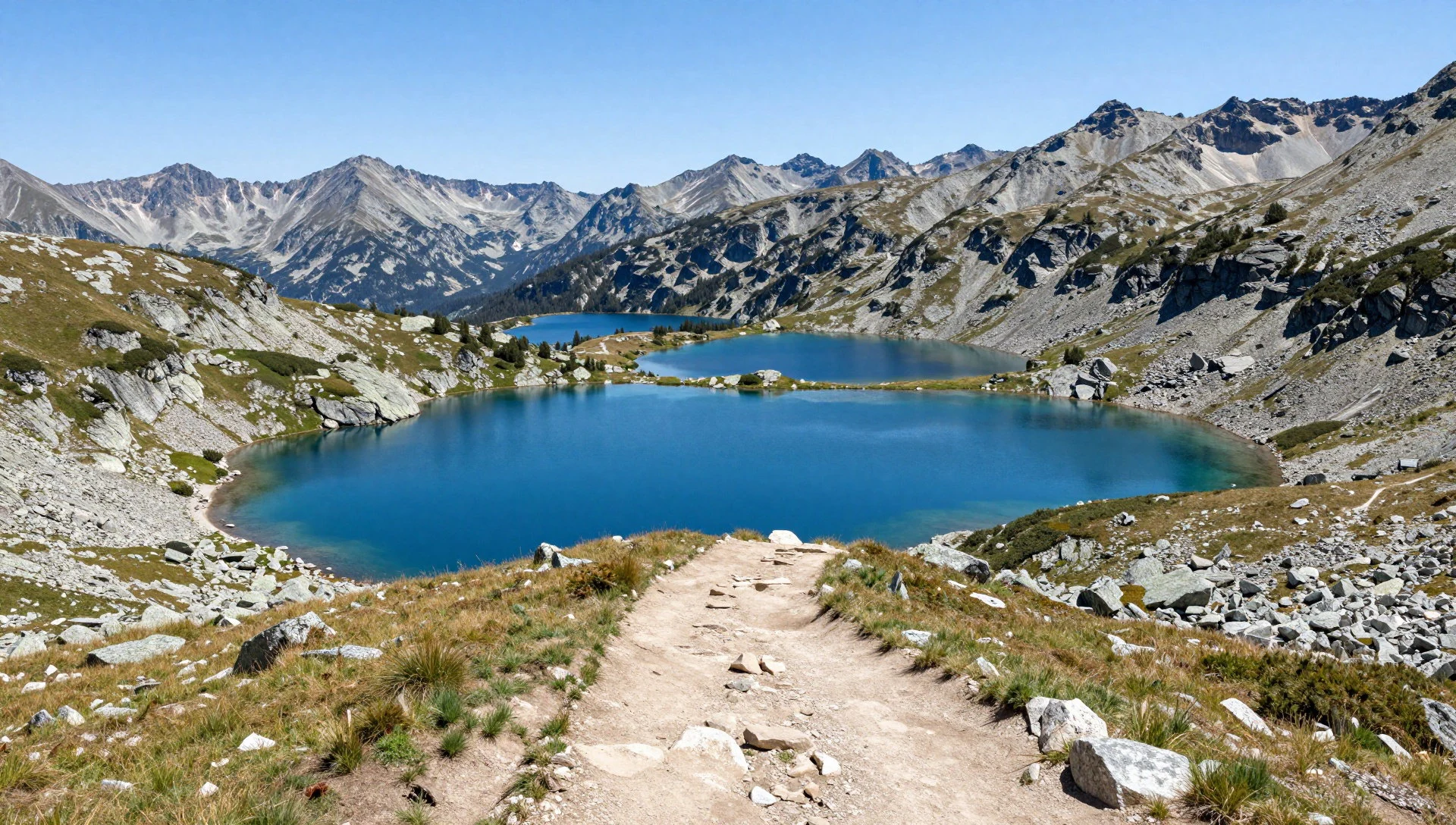
- Musala Peak area — High Rila
At 2,925 m, Musala Peak brings the upper-mountain feel—wind, fast-changing skies and big views over the Rila highlands. Even if the full summit isn’t planned, the surrounding ridges set the tone for the whole park.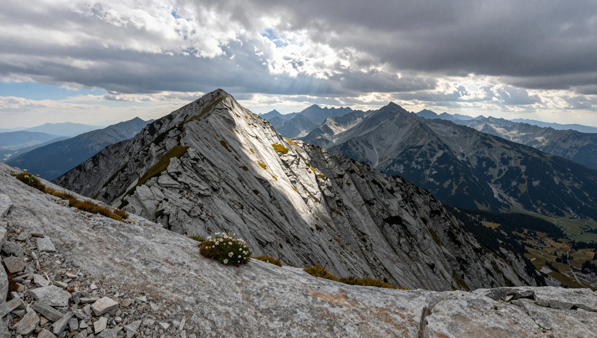
- Central Rila Reserve — Central Rila
A protected pocket of forest and slopes that gives the “stay in the mountains” vibe. Expect a quieter experience than the most famous lake routes, with the feeling that you’re walking through a living landscape rather than just reaching a viewpoint.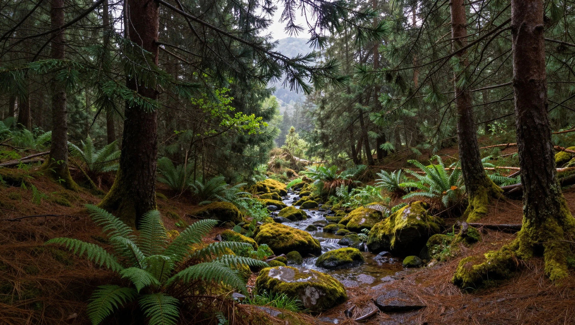
- Belmeken highlands — Belmeken area
The Belmeken zone suits spring light and wide open sightlines. In the right season, you get that crisp high-altitude atmosphere where snow patches and fresh growth can sit side by side depending on elevation and exposure.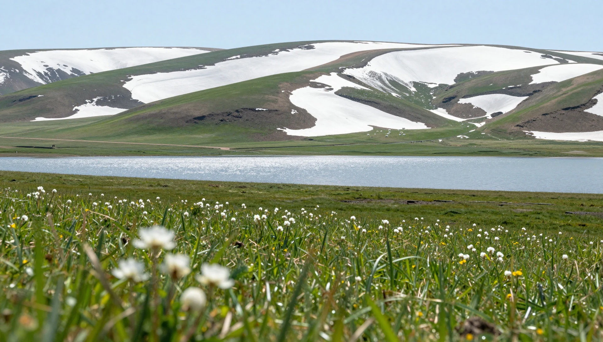
- Babreka Lake viewpoint — Babreka area
For a different perspective on Rila’s water, head towards lake viewpoints where the terrain drops away and the basin reads clearly. It’s a good option when the weather is shifting, because the landscape still tells the story even on hazier days.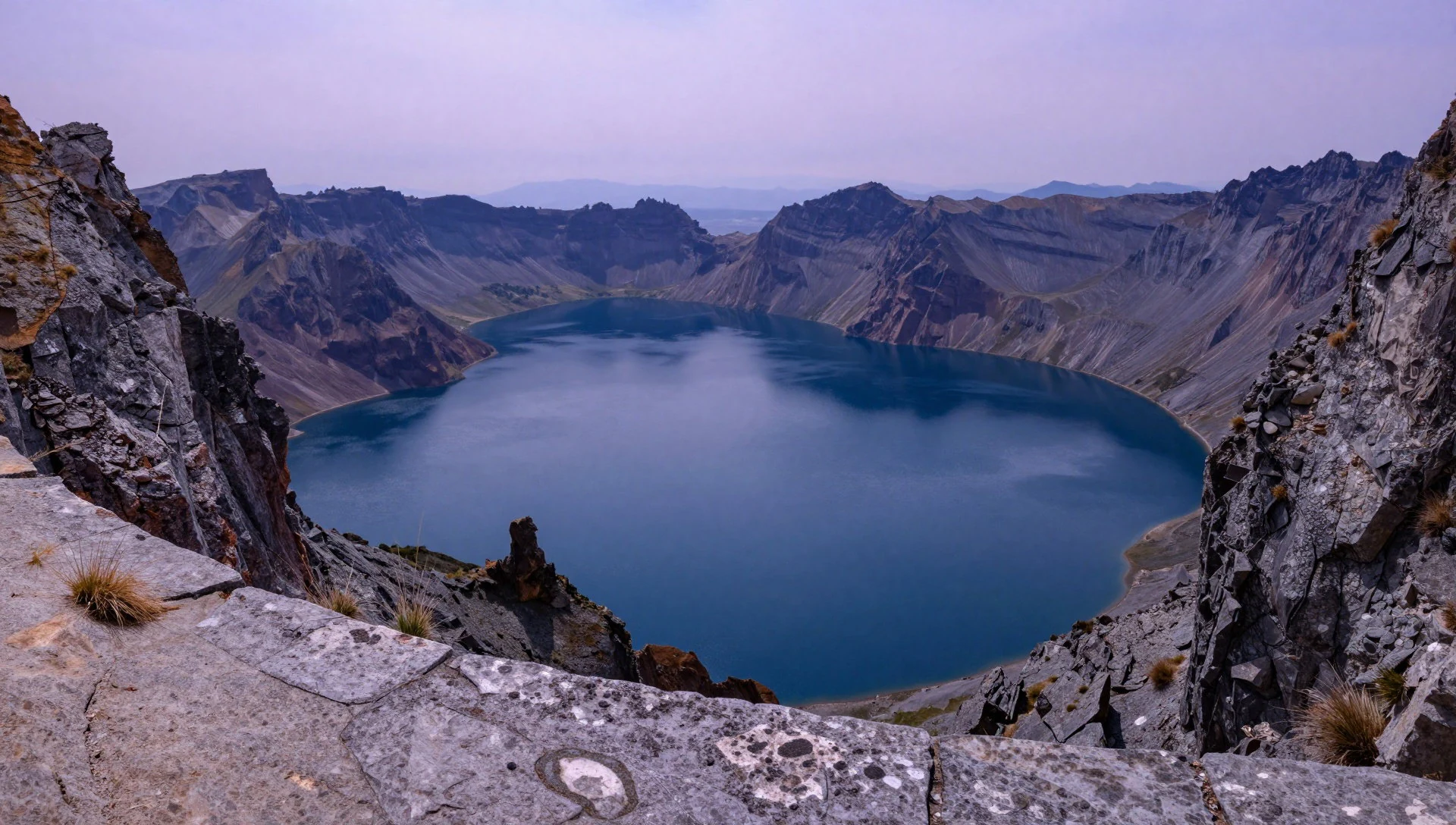
Culture
Rila National Park is protected land first, and that changes how the place “behaves” culturally: the focus is on ecosystems, not on sightseeing shortcuts. The park’s management approach links back to its founding in 1992, and you’ll feel it in the way the routes are shaped around nature reserves and habitats.
Because the park spans provinces and includes multiple nature reserves (like Parangalitsa and Central Rila Reserve), there isn’t a single cultural script for the whole experience. Instead, traditions show up in small, practical ways: how people dress for mountain weather, how they move carefully on trails, and how they take time near lakes rather than rushing for a single landmark photo.
In Bulgaria’s mountains, you’ll also see respect for quiet spaces—especially where the terrain or vegetation is sensitive. Many visitors come for the landscapes, but it’s the restraint that keeps the park looking like itself: staying on marked paths, not pushing off into fragile ground, and treating viewpoints as shared space.
A good mindset for Rila is simple—plan for slower travel, because the mountains reward pacing and punish rushing.
Visitor etiquette: stay on marked trails and keep voices low around lake basins and forest reserve areas.
What to wear
Rila National Park doesn’t revolve around traditional clothing, but Bulgaria’s mountains do have a clear “dress for the terrain” logic. The park ranges from about 800 m to 2,925 m, so temperatures can change dramatically as you gain elevation.
In everyday life in the region you’ll see people wearing seasonal layers—hoodies, warm jackets and sturdy trekking footwear—rather than formal national dress. On trails, most locals and visitors dress for practicality: breathable tops, a warm mid-layer, and a weatherproof shell because fog, wind and rain can arrive fast in high country.
Traditional dress is still worn for festivals and ceremonies in Bulgaria’s wider culture, often involving woven textiles and layered garments, but inside the park the reality is simpler: clothing should keep you warm and dry while hiking.
For visitors, the safe kit is: quick-dry trousers/leggings or hiking pants, a warm insulated layer, a waterproof jacket, gloves for higher elevations, and proper hiking shoes with grip. Socks matter more than people expect on mountain days. If you visit during shoulder months (spring or autumn), add a hat and consider eye protection for bright, reflective snow or sun on clear ridges.
Above all, dress to move—tight, heavy clothing is uncomfortable, while layered breathable gear handles the changing conditions better.
What to eat
- Mountain-style grilled meat — Local village restaurants near park access
Look for grilled meat staples in mountain villages and roadside eateries near access points to the park. It’s a simple, warm post-hike option when the weather has turned cool at altitude.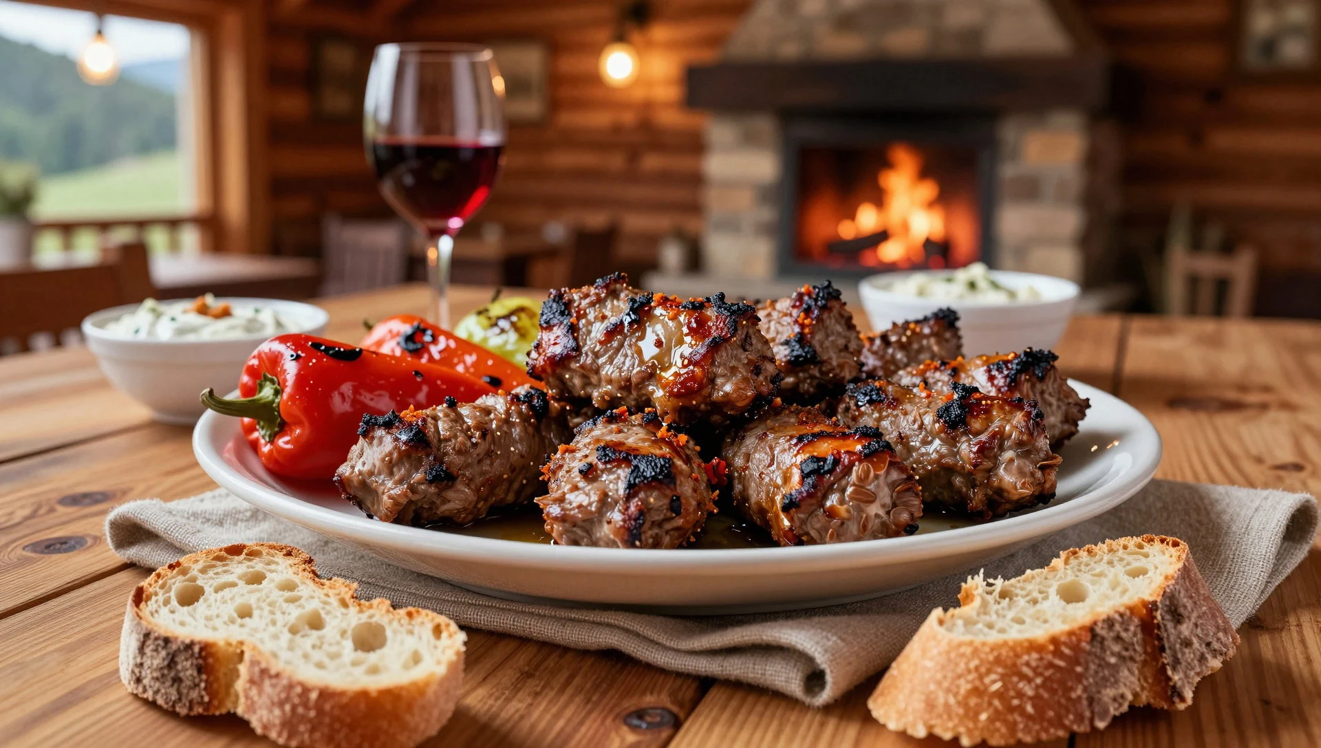
- Shop-style pastries and breads — Bakery stops in nearby towns
In towns around the Rila region, bakeries and small shops usually have fresh breads and sweet pastries for an easy breakfast before a trail day. It’s handy when starting early and keeping plans flexible.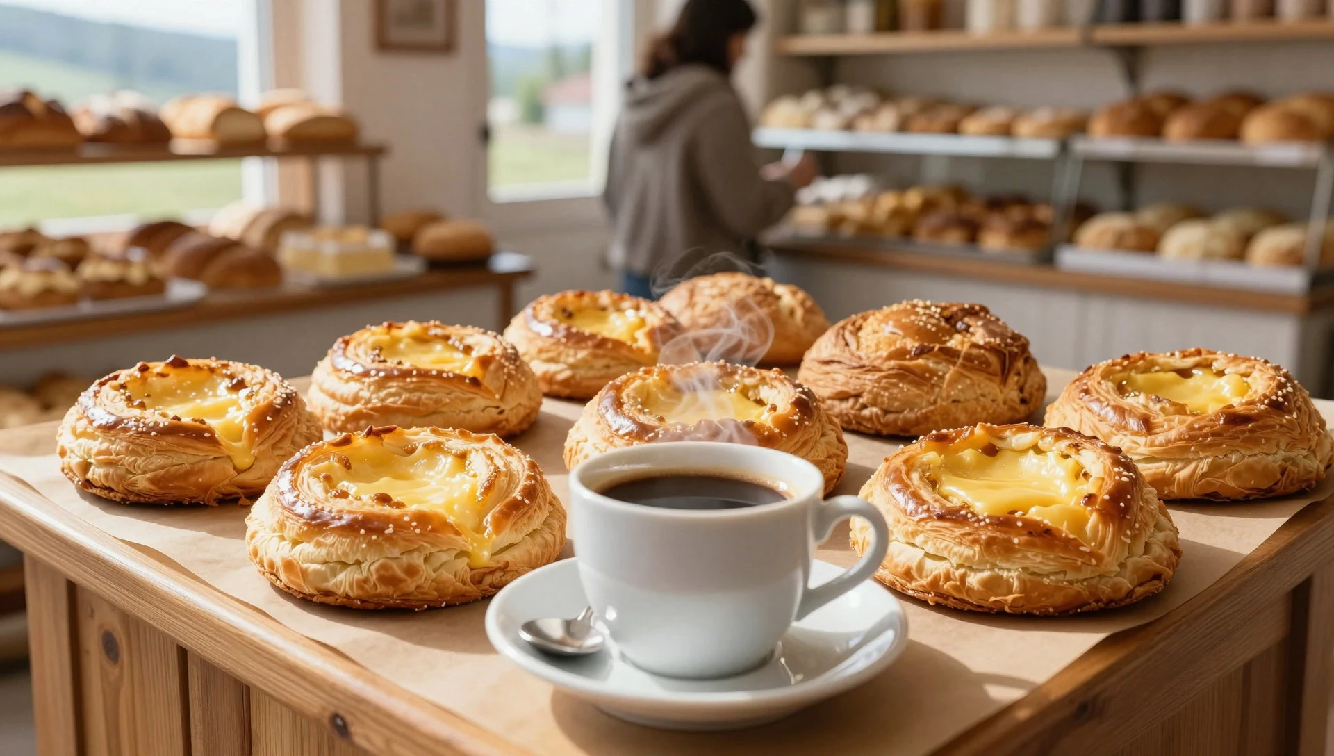
- Traditional Bulgarian soups — Everyday restaurants in nearby towns
Expect hearty soups—often made for cooler days—at everyday restaurants rather than tourist-only places. They work well after a long walk because they’re filling without being heavy to carry around. - Seasonal dairy and yoghurt — Local cafés and restaurants
Rila’s region is associated with dairy, and you’ll often find yoghurt and related dairy sides at local eateries. It’s a light option alongside breads or as part of a simple meal between hikes. - Fresh lake-basin picnic snacks — Convenience shops near trailheads and towns
For trail time, plan a picnic with what you can buy locally: fruit, bread, and simple snacks. There’s no single “trail cafe” vibe for everyone—so build a flexible food pack that matches the day.
Plan it
Best time. March–April and October–November are the most comfortable for hiking: spring brings growth and milder conditions, while autumn offers clearer skies. June is typically the rainy season, and August is hot and humid, which can make higher trails feel tougher.
How long. 3–4
Getting there. Fly into Sofia and drive or take onward transport into the Rila area; from there, local buses or shared transfers get you to the main starting points. For the last leg to trailheads, local road access is the deciding factor—use the official park site to confirm routes.
Budget. mid
Tips
- Start early on popular lake days to keep crowds and queues manageable
- Build in buffer time for altitude—weather and temperature shift quickly
- Carry water and snacks even for shorter walks, as options on the trail can be limited
- Check conditions before committing to higher routes when clouds roll in
Etiquette
- Stay on marked paths, especially near lake basins and reserve areas
- Keep noise down in quiet forest stretches so others can enjoy the landscape
- Pack out litter, including small items like tissues and wrappers
Nearby
Sources
- Wikidata Q748637 (CC0)
- Wikipedia (rev 1362901197) (CC BY-SA 4.0)
- Photo photos/01-centrlrilareservation.jpg (CC BY 3.0)
- Photo photos/02-rila-7-lakes-circus-panorama-edit1.jpg (CC BY 3.0)
- Photo photos/03-7-ezera.jpg (CC BY-SA 4.0)
- Photo photos/04-belmeken-spring-time.jpg (CC BY-SA 4.0)
- Photo photos/05-belmeken1.jpg (CC BY-SA 4.0)
- Photo photos/06-belmeken2.jpg (CC BY-SA 4.0)
- Photo photos/07-bezimennia-vrah-and-aleko.jpg (CC BY-SA 4.0)
- Photo photos/08-bird-s-eye-viewof-babreka-lake.jpg (CC BY-SA 4.0)
- Wikivoyage (CC BY-SA 4.0)


