Richtersveld
Richtersveld, South Africa
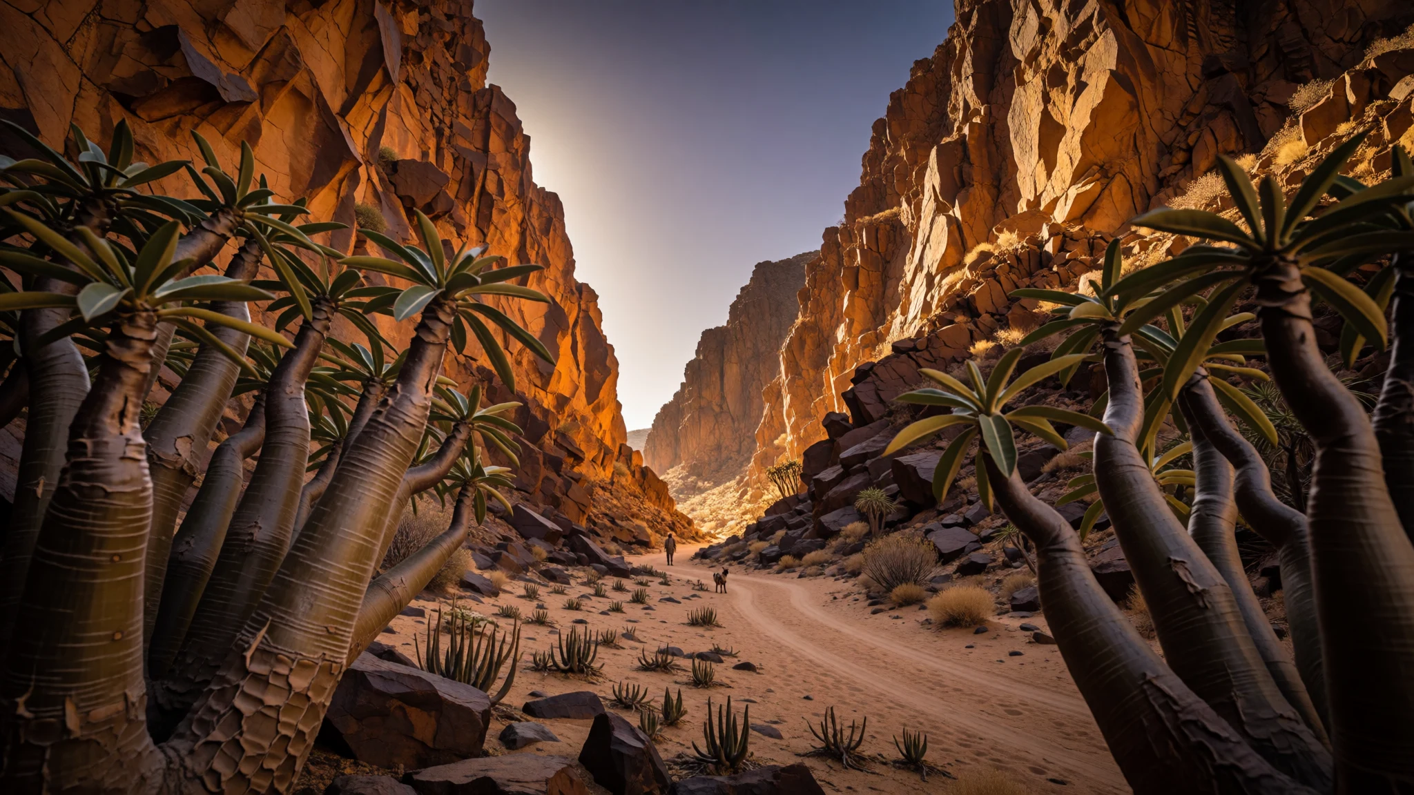
Richtersveld delivers desert drama—towering kloofs, rare succulents and Nama ways of living—set inside a UNESCO cultural landscape.
The place
Richtersveld sits in the north-western corner of South Africa’s Northern Cape, where an arid desert landscape meets high mountains and deep-cut kloofs. The scenery shifts in a way that feels almost cinematic: wide sandy coastal plains give way to sharp volcanic-looking rock, then later to greener patches tied to moisture from the Orange River border area.
What makes the place different from a generic “hot and dry” stop is the mix of geology and living culture. The terrain is rugged, with mountains that rise dramatically from surrounding plains, and the landscape is home to hardy plant life—succulents built to survive long dry spells. In some seasons, the region’s desert character softens: moisture and mist can create an atmosphere of damp breath against the rock, and flowering periods can bring colour across the lowlands.
The Nama communities are not visitors to a park; they are part of how the area works. The conservancy approach—living alongside the landscape while managing land and tourism—turns a drive through the dunes and valleys into a sense of continuity rather than a theme-park route.
It’s also a place of real constraints. Water is scarce, distances can be long, and weather can swing quickly—from harsh summer heat to much colder winter nights and strong winds. For many travellers, that’s exactly the appeal: Richtersveld is remote, not cushioned, and it rewards preparation with a landscape that stays in the memory.
Its story
Richtersveld is the sort of place where the “journey” matters as much as the destination. Long stretches pass through desert edges, then the land starts to show its layers—sandy flats, harsher rock breaks, and valleys that look carved rather than built. Even before reaching the most striking viewpoints, the changing textures of the ground tell the story of an ecosystem that survives by doing less: fewer trees, fewer easy water sources, more ingenuity.
The living rhythm is tied to transhumance, a seasonal pattern of moving with livestock. That lifestyle shapes how settlements and temporary shelters fit into the landscape. The Matjieshut captures the practical side of that tradition: portable, made for movement, and suited to a country where staying in one spot forever would be unrealistic. The community involvement in managing the area is a central thread, not a side note.
There’s also a cultural-habitat connection that shows up in daily decisions: where grazing can happen, how people work with conservation partners, and why knowledge of fog, dew, and seasonal weather is more than trivia. The landscape’s survival strategy—waiting for early morning moisture and enduring heat—becomes a shared language between humans and the small creatures that also cope there.
In the end, Richtersveld feels less like a place to “tick off” and more like a place to understand. The terrain, the wind, the plants, and the transhumant way of life line up into one system—stubborn, adapted, and beautifully un-forgiving.
What to see
- Kloofs and high mountain profiles — Northern Cape highlands
Richtersveld’s dramatic kloofs and steep mountain lines are the real landmarks. Focus on the shape of rock walls and the way shadows slide across them through the day. In winter, cold light and wind make the geology feel sharper and more sculpted.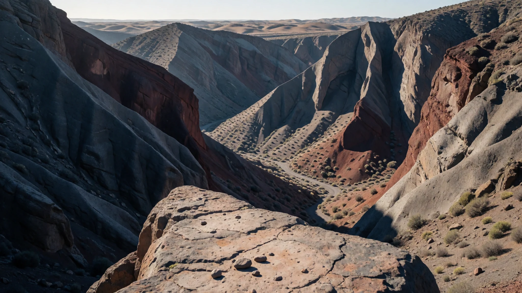
- Matjieshuts and Nama everyday heritage — Conservancy areas within the park
Richtersveld’s cultural landscape shows up in portable shelters and the practical choices behind them. Look for the Matjieshut (Haru Oms) and the logic of making dwellings that fit seasonal movement. It’s a quieter kind of heritage than you might expect from a desert road trip.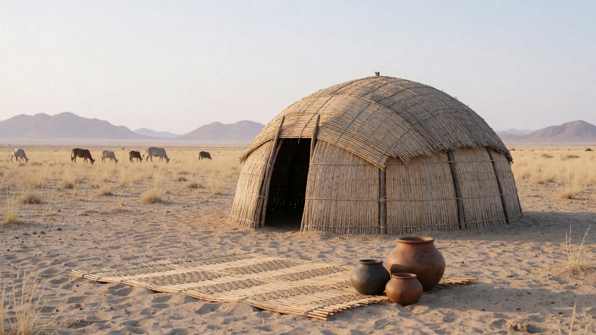
- Succulent plant textures across dry ground — Desert flats and rocky slopes
Richtersveld’s beauty is often in close-up detail: thick leaves, odd branching forms, and plants designed to hold onto moisture. The rocky ground can look barren at first, then reveals layers of micro-habitats that support specialised succulents.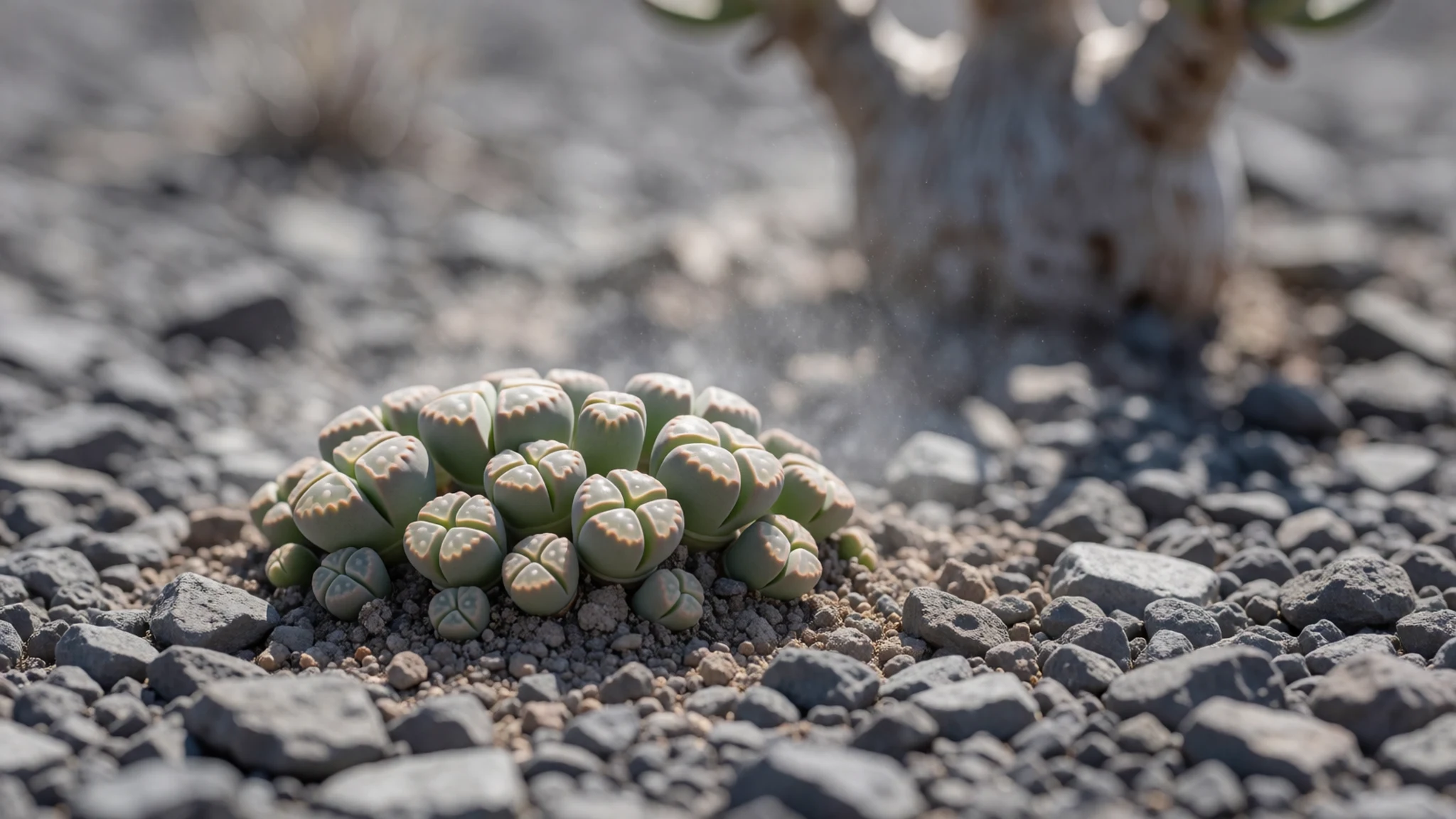
- Fog and dew mood at dawn — Open valleys and low-lying ground
Richtersveld’s early mornings can shift from dry silence to an almost misty atmosphere, with dew doing much of the work that rain usually would. This is when the landscape looks softer and small animals start to feel more present, even if the day stays hot.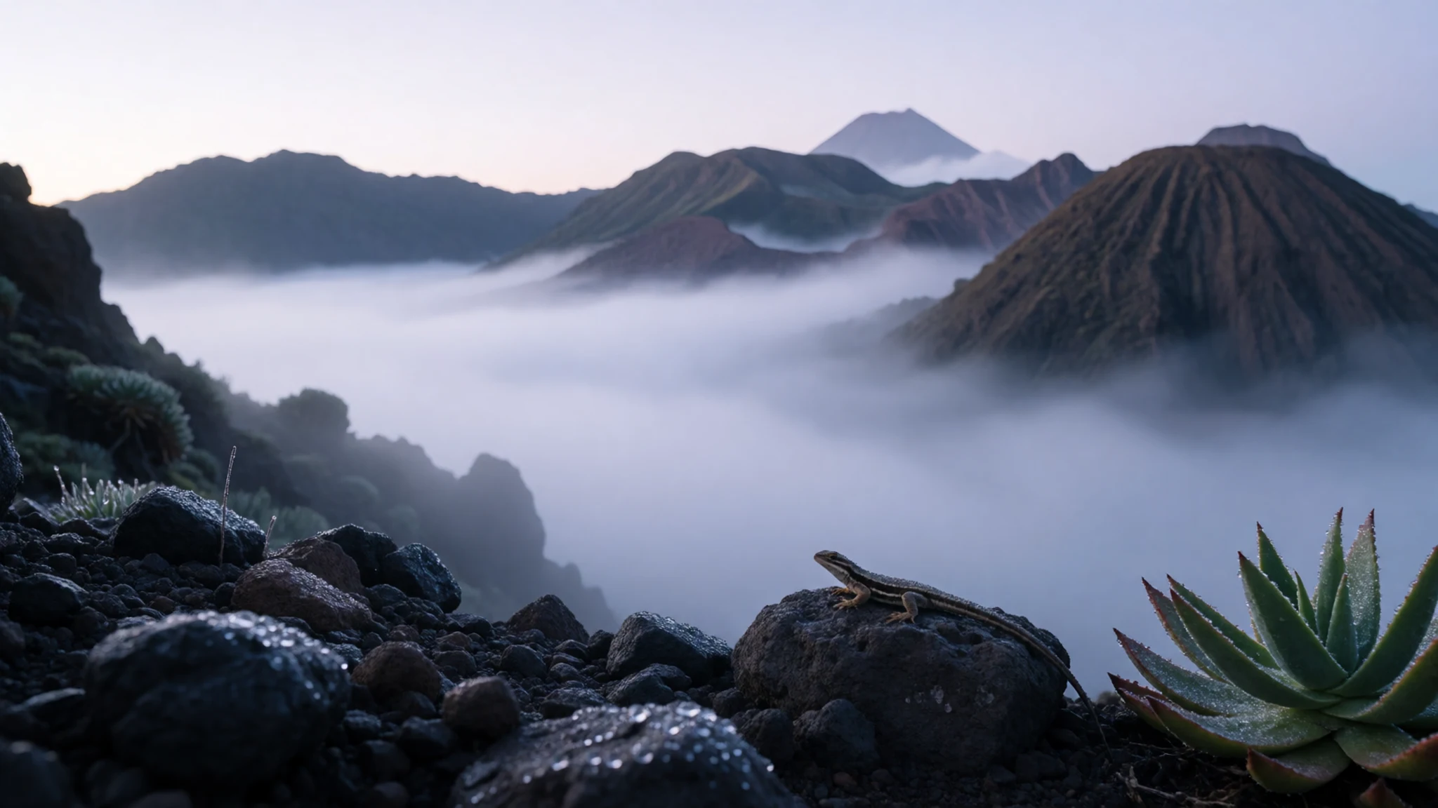
- Transfrontier park country feel — Wider Richtersveld / Transfrontier surroundings
The border-country vibe is part of the experience: big distances, a sense of wild space, and a landscape that doesn’t behave like a fenced garden. When conditions are clear, the vastness helps put the mountains and kloofs into scale.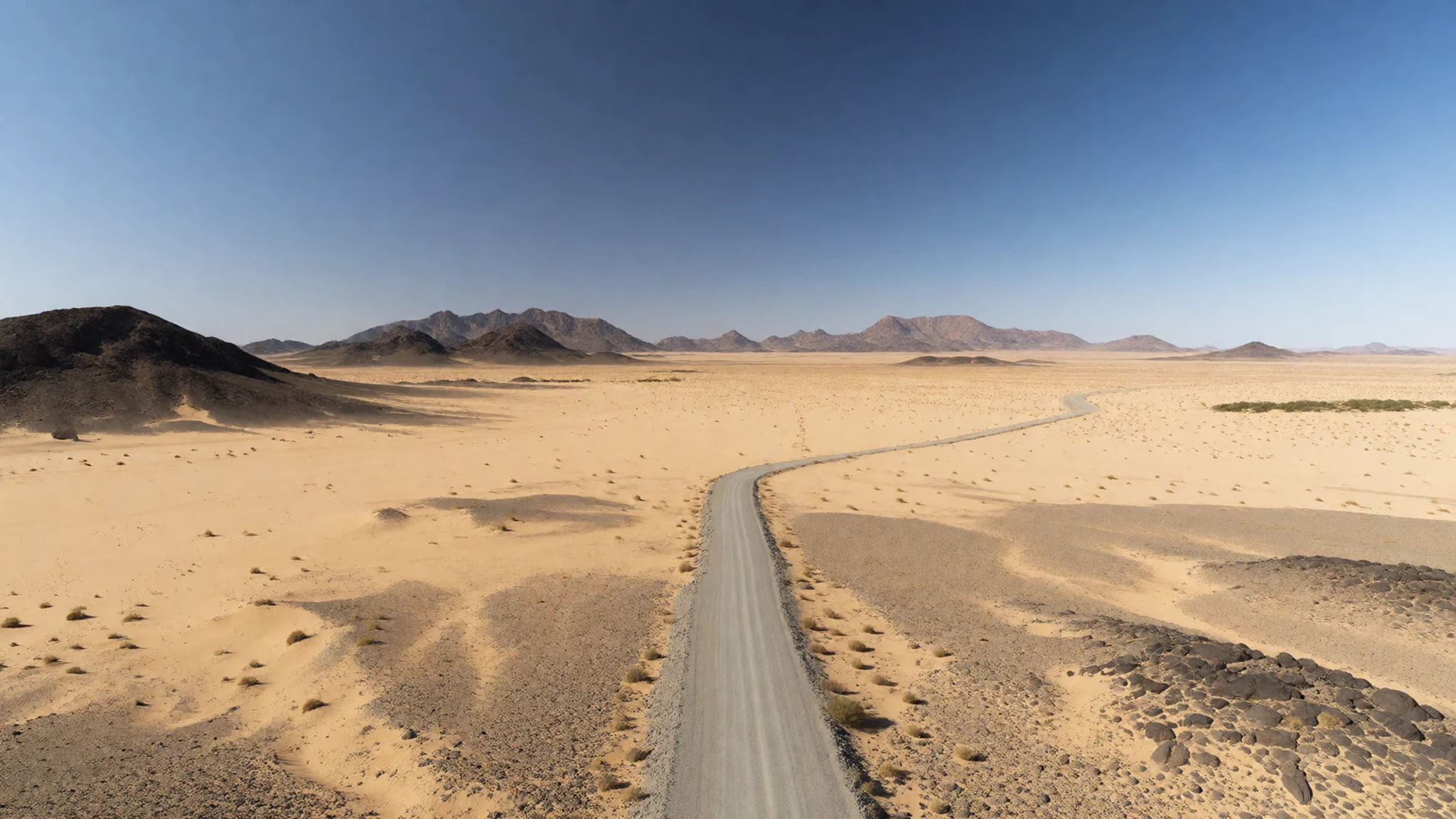
Culture
Richtersveld is inhabited by Nama and other peoples, and the park landscape is managed in partnership, with the local community owning the entire area and working alongside South African National Parks. That ownership matters: it turns conservation into something grounded in lived experience rather than a distant policy.
A key thread is transhumance, the seasonal movement of herders with livestock across the region’s fragile succulent ecosystem. This isn’t presented as a performance for outsiders; it’s a way of coping with scarcity and using pasture where it makes sense at different times of year. The World Heritage designation recognises cultural values that are tightly connected to the environment—because the community’s continued presence and practices depend on the same natural rhythms that shape plant growth and water availability.
Visitors often come expecting “nature only”, then realise that the cultural landscape is the point: shelters, grazing patterns, and local knowledge of fog and dew are all part of how the place functions.
Visitor etiquette: stick to designated areas and respect grazing and living spaces—ask before moving through any community-managed land and keep noise low.
What to wear
Traditional clothing in Richtersveld is tied to Nama culture and day-to-day life in a harsh, dry environment. Many visitors won’t see formal ceremonial outfits on the roadside, but the traditional look is often associated with practical garments built for warm days and chilly nights, paired with head coverings and accessories that suit outdoor work.
What people wear now varies by setting. In town or near visitor areas, clothing is typically everyday modern wear—lightweight layers for strong sun and dust-friendly fabrics. In the colder months, layering becomes important because nights can be much colder than the daytime heat.
For visitors, the priorities are protection and practicality rather than style. Choose breathable layers for the heat, plus a warmer layer for wind and cold. Wear long trousers and a long-sleeve top to reduce sun exposure, and use a hat or head covering for glare. Closed-toe shoes with grip are essential on rocky tracks and in sandy sections; sandals are risky. If visiting community-managed areas, dress modestly and keep clothing tidy and respectful.
What to eat
- Braai-style grilled meat — Village eateries and roadside stops in the region
Across the Northern Cape, you’ll often find grilled meat meals when communities and local eateries have a steady rhythm for serving visitors. Expect hearty portions that suit long, outdoors days and cool evenings.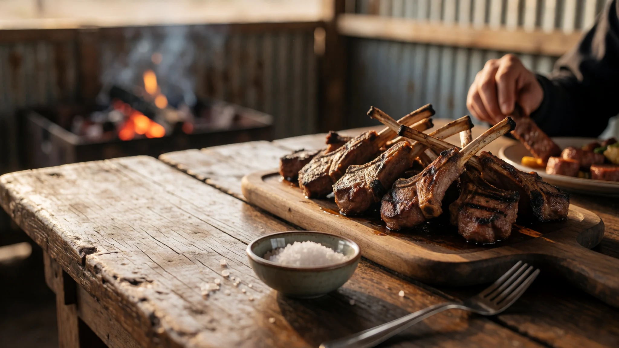
- Local breads and simple sides — Small eateries around nearby towns
In remote places like this, meals tend to be straightforward: bread and filling accompaniments that travel well and work with grilled dishes. Look for baked or pan-cooked breads served with sauces or stews.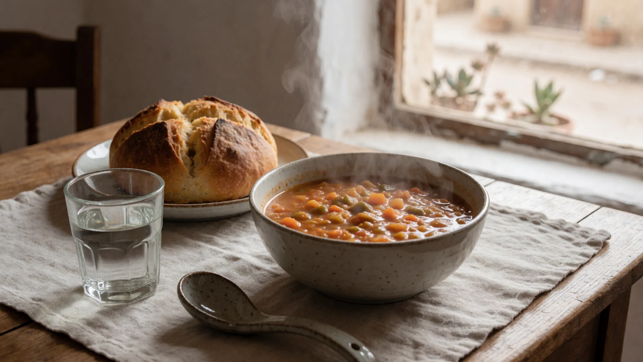
- Stews using seasonal vegetables — Community-run restaurants and cafes in the wider Northern Cape
When nights get colder, stews become the comfort food of choice. They’re a practical way to use available produce and make a warming meal after a windy drive through open country. - Rooibos tea — Cafes and guesthouse dining areas
Rooibos is widely associated with South Africa and fits the “desert evenings” feel well—warming without heavy caffeine. It’s usually served hot, alongside light snacks or after a meal. - Fruit and yoghurt at breakfast — Guesthouses and small cafés in the regional hubs
For early starts, simple breakfasts help: fruit, yoghurt and bread tend to be easy and filling without weighing the stomach down before a long drive or short hike.
Plan it
Best time. May and September are often the most comfortable months, with milder temperatures, while the hottest stretch runs from late spring into mid-summer (December to January). Rain stays low year-round, peaking in April and again around December, so plan for dry conditions most of the time and pack for occasional showers.
How long. 3–4
Getting there. Fly into Upington Airport or Kimberley Airport, then drive into the Northern Cape countryside. The last leg is by road, and conditions can be remote, so plan fuel and supplies carefully.
Budget. mid
Tips
- Pack for big temperature swings: cool nights and hot days are a pattern, not a surprise
- Plan drives with wind in mind—winter can bring strong gales and sandstorms
- Start early to catch the landscape when moisture from fog and dew makes a difference
- Carry enough water and keep snacks stocked; water scarcity is part of everyday reality
- Book or arrange conservation-area access through the right channels rather than improvising on the road
Etiquette
- Stay on allowed tracks and viewpoints—erosion and fragile ground are easy to damage
- Respect community-managed spaces and grazing activity; don’t wander into active livestock areas
- Keep voices low around shelters and community areas, and ask before photographing people or homes
Nearby
Sources
- Wikidata Q1353565 (CC0)
- Wikipedia (rev 1366156277) (CC BY-SA 4.0)
- Wikivoyage (rev 5412824) (CC BY-SA 4.0)
- Photo photos/01-tylecodon-paniculatus-pict2534.jpg (CC BY-SA 2.5)
- Photo photos/02-richtersveld-world-heritage-site-matjieshuts-at-glybank-near.jpg (CC BY 3.0)
- Photo photos/03-aloe-dichotoma-keetmanshoop-namibia-21aug2009-2.jpg (CC BY 2.5)
- Photo photos/04-pachypodium-namaquanum-pict2667.jpg (CC BY-SA 2.5)
- Photo photos/05-ai-ais-richtersveld-transfrontier-park-wikivoyage-banner.jpg (CC BY-SA 2.5)
- Photo photos/06-cheiridopsis-denticulata-pict2507.jpg (CC BY-SA 2.5)
- Photo photos/07-cheiridopsis-denticulata-pict2508.jpg (CC BY-SA 2.5)
- Photo photos/08-conophytum-wettsteinii-pict2546.jpg (CC BY-SA 2.5)


