Putorana Plateau
Putorana Plateau, Russia
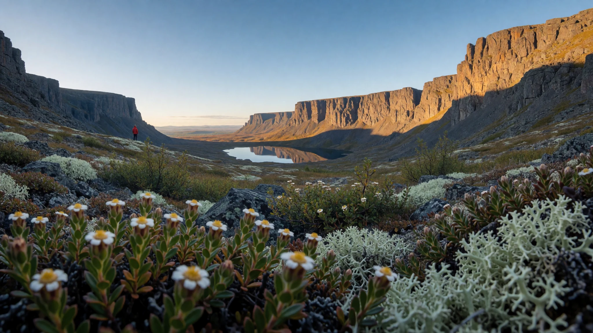
Putorana Plateau is remote Siberian high country—lakes, cliffs and tundra rhythms—best experienced with patience and serious cold-weather planning.
The place
Putorana Plateau (плато Путорана; “plato Putorana”), also called the Putorana Mountains, is a vast high, rugged plateau mass in Russia—more geography than “destination”. On maps it reads like a block of elevated land crossed by mountain ranges, with a network of valleys, ridges and lake basins that shape everything: routes, seasons and even the local weather.
The plateau sits on the north-western edge of the Central Siberian Plateau, east of the Yenisei valley, roughly between 67° and 70° N latitude. You feel that latitude immediately in the calendar. Summers are short and cool, while the long winters can be brutally cold; even in warmer months, conditions can turn quickly when you’re out on exposed tundra.
Water is the other big character. Lakes such as Dyupkun and Lama aren’t just views—they’re whole ecosystems spread across many kilometres, with tens of thousands of lakes in the wider area. In July, temperatures can hover around the single digits and rise only modestly in the warmest moments.
Where do people go from? The nearest large settlement is Norilsk, and for foreigners it can be restricted, which is why many travellers treat Putorana as an “expedition-style” trip rather than a quick in-and-out. Logistically, that remoteness is part of the draw: the landscape stays wild, and the journey is the story.
Its story
A good Putorana trip starts with an honest expectation: this is not the kind of place where you pop out for a scenic stroll. The plateau’s scale and isolation mean the days are shaped by access—how you get to the region, how you move between valleys, and how quickly weather changes when you’re travelling on foot or by small aircraft.
Many travellers begin with Krasnoyarsk Krai’s rail corridor, because the Trans-Siberian Railway is the familiar spine of Russia. From there, the next moves are usually flights and local transfers, with the northern routes being the most sensitive. In practice, that often leads to a plan that feels more like “base-and-move” than constant sightseeing.
Once you’re on or near the plateau, the landscape does the storytelling. You come across high, cold ridgelines; then drop into sheltered lake valleys where conditions can be a little kinder. Lakes such as Lama and Dyupkun act like calm anchors in a rough setting, and the sense of distance—how far you can see, how long it takes to reach the next bank—gives the place its mood.
Even “simple” moments can be demanding: you’re dressing for cold, wind and wet, and you’re moving through terrain where snowmelt, late-season ice patches and tundra ground can affect footing. In Putorana, you travel with the weather rather than against it.
What to see
- Putorano Plateau Nature Reserve (UNESCO area) — within the plateau
Putorana’s protected core is the reason the landscape still feels untamed—big valleys, tundra edges and lake basins rather than built-up viewpoints. If you’re learning what “remote Siberia” means, this reserve is the backbone of the story.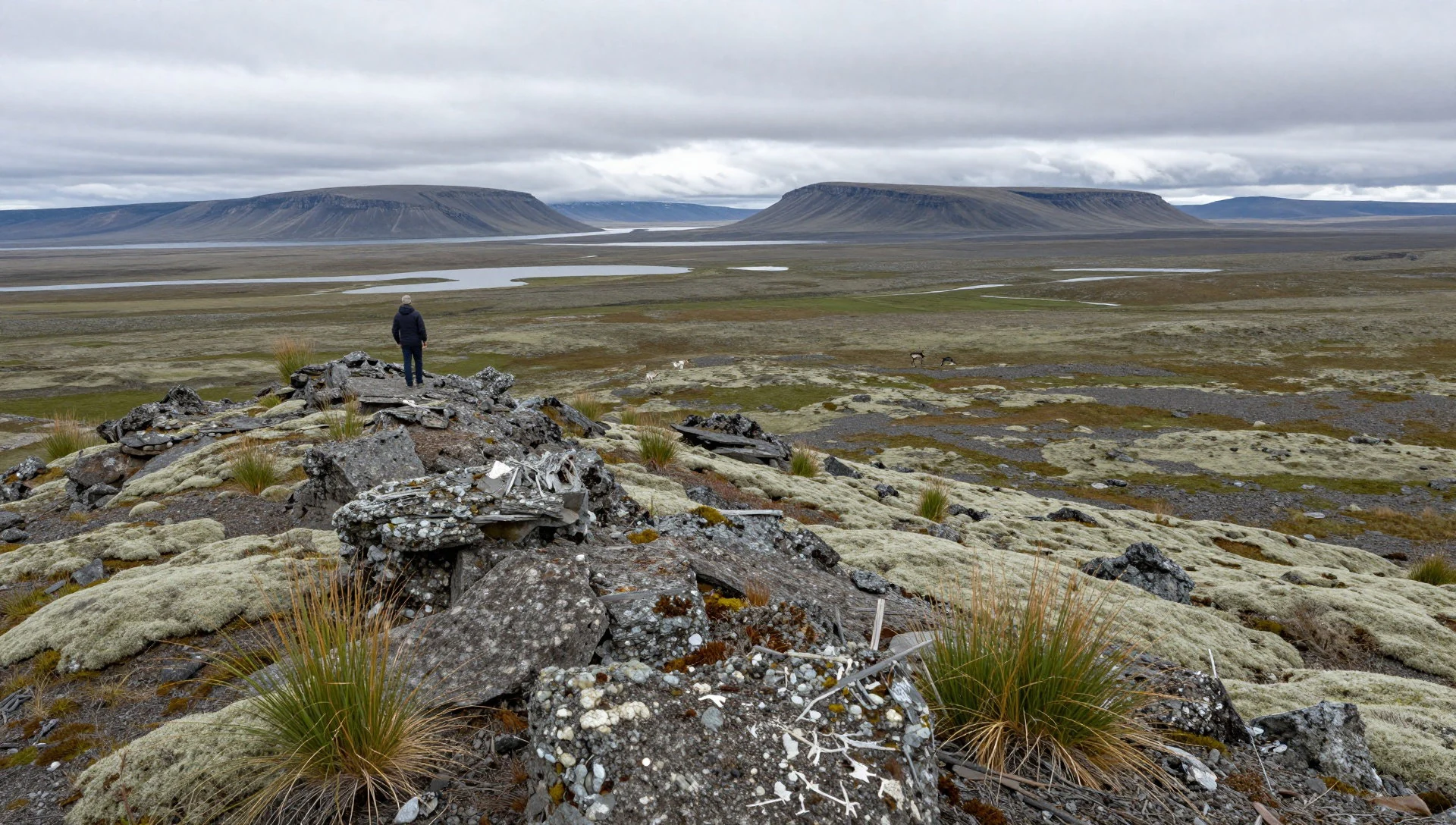
- Lakes Dyupkun and Lama — lake basins across the plateau
Lakes are the living heart of Putorana. Dyupkun and Lama sit inside a wider world of tens of thousands of lakes, each one feeding local ecosystems and shaping travel routes along shorelines and valley approaches.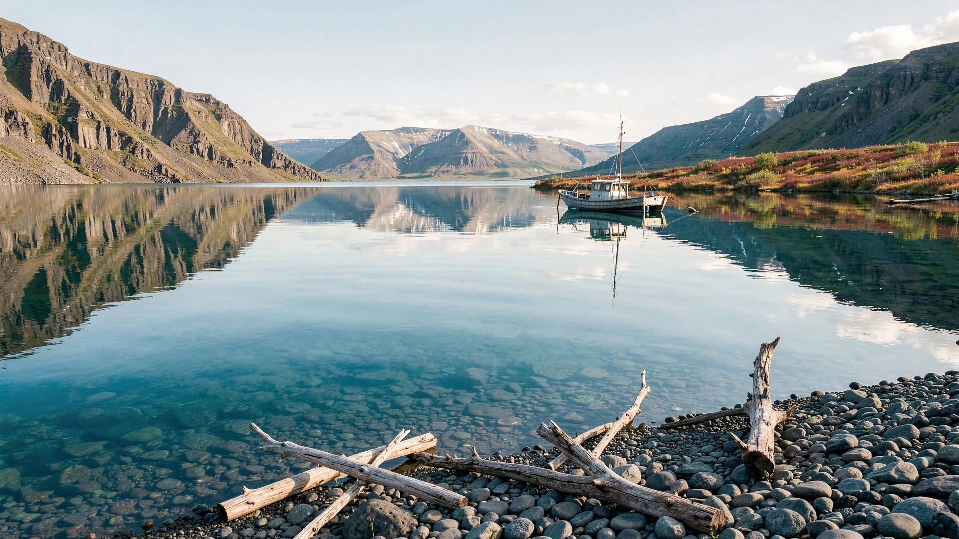
- Lake Vivi (geographical centre of Russia) — southern limit of Putorana
On the southern limit of the plateau, Lake Vivi is an easy place to anchor the “big map” idea—where Putorana overlaps another plateau system. It’s a quiet reminder that this region is defined by vastness, not towns.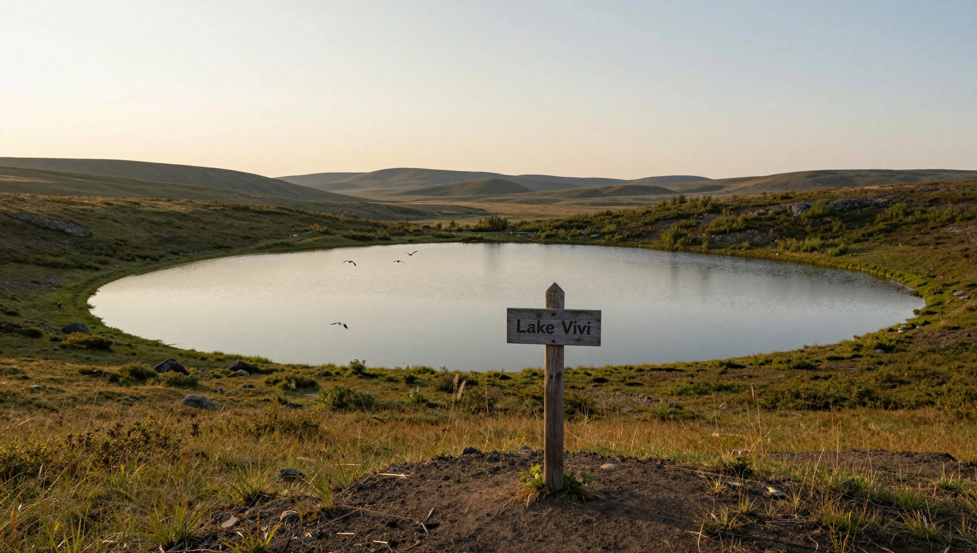
- Talnikovy Waterfall — plateau escarpment zones
In Putorana, waterfalls are often tied to the steep transitions between plateau levels and valley floors. Talnikovy Waterfall is a name worth knowing if you’re hoping for dramatic water features rather than only lake scenery.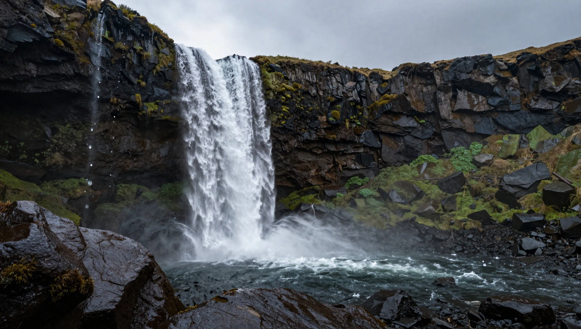
Culture
Putorana Plateau’s “culture” is less about villages and more about how people move through a harsh environment. In practical terms, the region around Norilsk reflects that remoteness: access can be restricted, flights and transfers can be the main option, and planning matters more than spontaneity. Many visits are expedition-like, with itineraries built around weather windows and transport constraints.
Because the plateau sits above the Arctic Circle, the seasonal rhythm is central. Summers arrive abruptly and stay short; winters can be long and severe. That reality shows up in how locals think about gear, layers and staying warm, not only on big excursions but also during everyday travel between bases.
Safety and health also form part of the local “etiquette” in a non-judgemental way. Travel resources can be scarce and distances long, so reliability and preparedness are valued. You’ll also want to think about digital life: communications may be patchy, and you may need offline plans.
Visitor etiquette: respect protected areas and do not step off marked routes in reserve zones, even if the view looks easy to reach.
What to wear
Putorana’s clothing starts with the cold. Expect a subarctic, sharply continental climate here: winters last a long time and get extremely cold, while summers are brief and cool. Pack for wind, dampness and sudden chill—not just what the daily forecast promises. Traditional dress is not really what you’ll see in daily life out there, but the underlying norm—practical warmth and protection—matches how people survive the region.
What people wear now tends to be layered outdoors kit: insulating base layers, warm mid-layers and a windproof outer shell, usually with gloves and a proper hat for exposed tundra. Footwear matters more than style: choose insulated, grippy boots suitable for wet ground and snow patches.
For visitors, the safest approach is a layering system you can adjust: warm layers for lake-valley evenings, and an outer shell that can handle rain and wind in the short warmer months. If you’re heading into reserve areas, go for modest, functional coverage—comfortable long trousers and sleeves—so you can stay protected while moving along uneven terrain.
What to eat
- Northern-style hot meals in regional cafés — towns around Norilsk and nearby transfer points
After long outdoor stretches, you’ll want simple hot food: soups, stews and filling mains in a warm café setting. In remote regions, this is often the easiest option when schedules and transport make “proper” restaurant meals hard.
- Berries and fruit-based desserts — local eateries and canteens in the region
Siberia’s wild tastes often show up as berry compotes and desserts, served warm or chilled depending on the season. They’re a practical way to add calories without needing elaborate cooking—especially in short summer windows.
- Fish dishes — main eateries in Norilsk-area stops
With so many lakes and water systems in the wider Putorana world, fish appears across regional menus. Look for grilled or cooked fish served with starchy sides—comfort food that works well after cold air. - Bread and hearty baked sides — cafés and canteens around major northern transport hubs
In cold climates, breads and baked sides are common because they keep well and pair easily with stews and soups. You’ll usually see them offered with hot meals, particularly in winter travel seasons.
Plan it
Best time. June–August for the short summer season, with July as the warmest month and generally the easiest time to be outdoors. For shoulders of cold but more manageable conditions, late spring and early autumn can still work, but winter is the long dominant season.
How long. 4–7
Getting there. Start via Krasnoyarsk on the Trans-Siberian Railway, or fly to Krasnoyarsk airport and then connect onward. For northern parts of the wider region, flights may operate to Norilsk and other far north destinations, with final legs depending on your specific access route to the plateau.
Budget. high
Tips
- Plan around the short summer window: June–August is when outdoor conditions are most workable.
- Build extra buffer time—connections into northern areas can take longer than expected.
- Pack for sudden weather shifts: wind and cold can still bite even in summer.
- Carry essentials you can rely on offline, as remote areas can limit services.
Etiquette
- Follow instructions for protected areas and do not stray off approved routes.
- Respect local travel restrictions around Norilsk if your itinerary connects through it.
Nearby
Sources
- Wikidata Q277576 (CC0)
- Wikipedia (Putorana Plateau, rev 1369609925) (CC BY-SA 4.0)
- Wikivoyage (Krasnoyarsk Krai, rev 5299778) (CC BY-SA 4.0)
- Photo photos/01-plato-putorana-01.jpg (CC BY 2.5)
- Photo photos/02-.jpg (CC BY-SA 4.0)
- Photo photos/03-3.jpg (CC BY 3.0)
- Photo photos/04-snow-on-the-putorana-plateau.jpg (Public domain)
- Photo photos/05-.jpg (CC BY-SA 4.0)
- Photo photos/06-4y1a9935-28857283052.jpg (CC BY 2.5)
- Photo photos/07-putorana-lama-lake.jpg (CC BY 3.0)
- Photo photos/08-putorana-plateau-siberia-esa367705.jpg (CC BY-SA 3.0 igo)


