New Britain
New Britain, Papua New Guinea
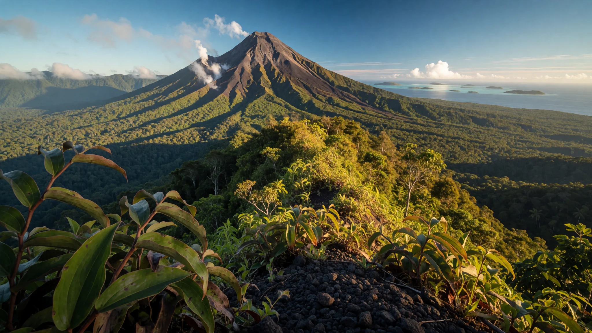
New Britain offers remote volcanic wilderness, world-class coral reef diving, and deep island history across wild Bismarck Archipelago landscapes.
The place
New Britain stands as the largest island in the Bismarck Archipelago, positioned within the Islands Region of Papua New Guinea. Separated from the mainland by the northwestern corner of the Solomon Sea and connected through ocean straits, this crescent-shaped landmass features striking geographical contrasts. Its interior is dominated by dense tropical rainforests, high rainfall feeding several large river systems, and rugged terrain formed by intense volcanic activity. Active cones such as Ulawun, Langila, and the Garbuna Group rise dramatically above the dense canopy, while the Nakanai Range in the east displays extensive limestone karst landscapes shaped by centuries of erosion into deep sinkholes and complex cave networks. Along the coast, steep cliffs alternate with flat coastal strips bordered by rich coral reefs and deep blue waters. Major settlements include Rabaul, Kokopo, and Kimbe, each serving as a gateway to the surrounding marine and terrestrial wonders. The environment remains wild and largely untamed, shaped profoundly by the geological forces that continue to form its dramatic peaks and fertile valleys.
Its story
Long before European ships arrived in these waters, indigenous Papuans made their home across the island, leaving ancient cultural deposits in open-site excavations near Yombon that reveal human presence spanning millennia. Western contact began when maritime explorers documented the shores, followed later by nineteenth-century whaling vessels seeking provisions. During the colonial era, the territory came under foreign administration, transforming parts of the coastal lowlands into productive agricultural plantations focused on copra and other tropical crops. The twentieth century brought major global conflicts to the region, turning the northern coasts and surrounding waters into strategic arenas marked by naval and air engagements. Remnants of this turbulent era remain visible today across the landscape, preserved in jungle-covered earthworks, tunnels, and submerged hulls. Following decades of shifting administrative boundaries and dramatic natural events—including major volcanic disruptions that reshaped local settlements—the island communities have continually adapted, blending traditional village life with the realities of modern island governance.
What to see
- Kimbe Bay Reefs — Kimbe coastal waters
Surrounded by warm tropical waters, these coastal reefs support an astonishing diversity of marine life, vibrant coral gardens, and dramatic drop-offs that draw divers from around the world to explore pristine underwater ecosystems.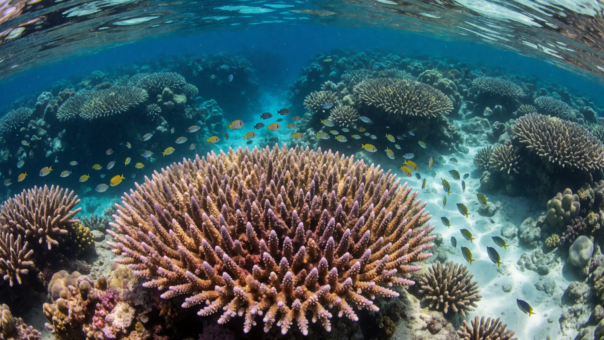
- Rabaul Wartime Tunnels — Rabaul area
Carved deep into the rocky volcanic hillsides around the harbour, an extensive network of underground tunnels and shelters constructed during past military occupations stands as a haunting testament to the island's twentieth-century history.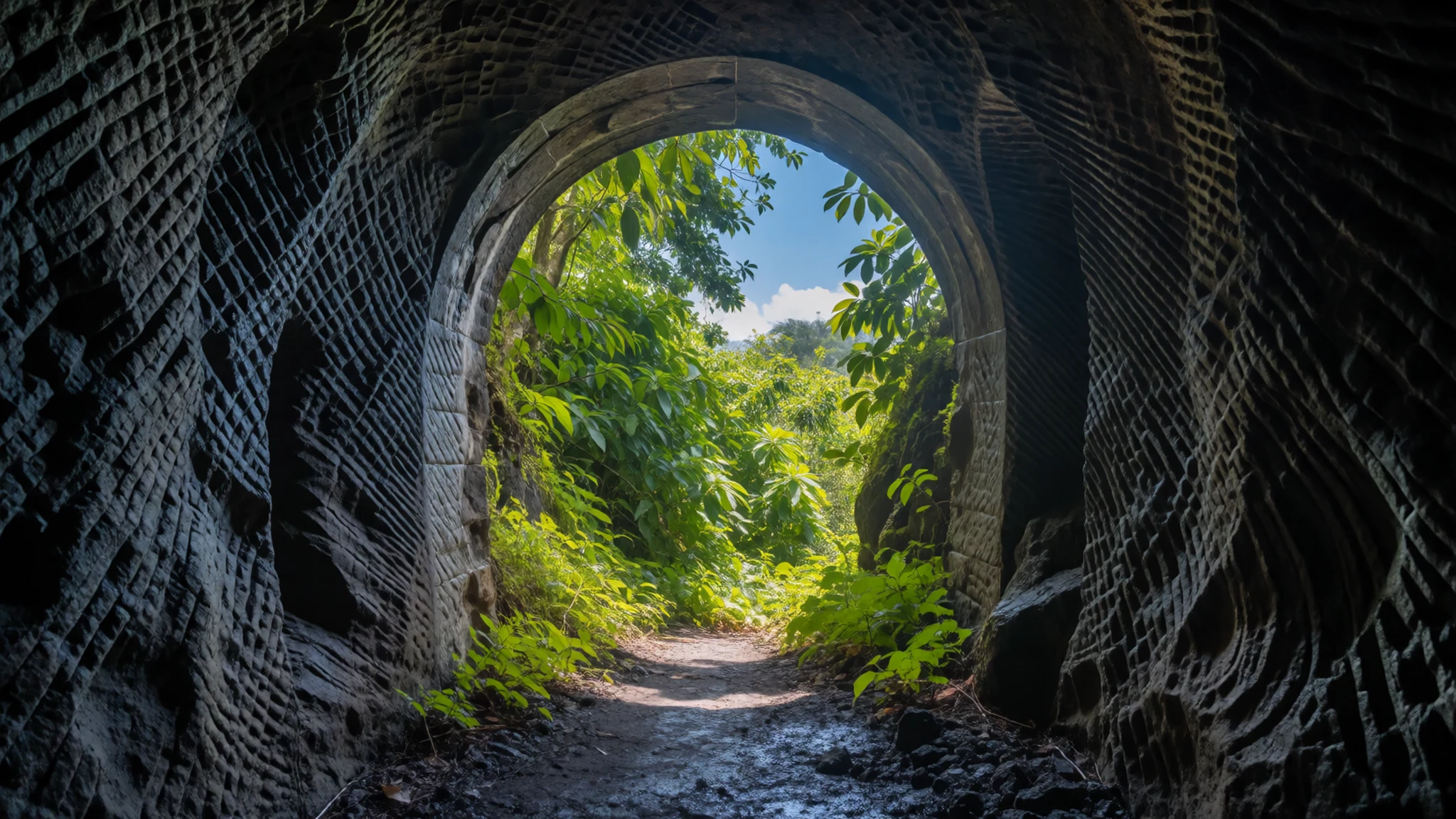
- Mount Ulawun Slopes — East and West New Britain border
Rising sharply toward the clouds, the slopes of the nation's tallest summit present a formidable landscape of steep volcanic ash fields, dense lower rainforests, and constant geological reminders of the fiery power shaping the region. - Kokopo Market — Kokopo town centre
Serving as a vibrant hub for the provincial capital, this bustling open-air market brings together local growers and fishers trading fresh tropical fruits, root vegetables, betel nut, and catches from the nearby Bismarck Sea. - Nakanai Limestone Caves — Nakanai Range
Hidden deep within the rugged interior ranges, massive limestone formations, subterranean rivers, and immense sinkholes create a subterranean wilderness explored by daring speleologists investigating complex underground drainage systems.
Culture
Community life across New Britain remains deeply rooted in traditional clan structures, customary land ownership, and ancestral heritage passed down through generations. Village societies place high value on communal sharing, respect for village elders, and ceremonial exchanges that mark important life milestones and seasonal cycles. Tok Pisin serves as the primary lingua franca, bridging numerous distinct indigenous language groups spread across the rugged interior and coastal settlements. Traditional arts, intricate carving styles, and ceremonial dances continue to play vital roles in expressing cultural identity and spiritual beliefs tied closely to the land and sea. Visitors are warmly welcomed into village communities but should always seek permission from local leaders or guides before entering customary lands, exploring sacred sites, or taking photographs of residents. Always ask permission from village elders before entering traditional settlements or photographing local residents.
What to wear
Traditional attire across the rural communities of New Britain historically relied on natural fibres, woven plant materials, and bark cloth fashioned into practical garments suited for tropical rainforest environments and coastal living. Body ornamentation, ceremonial paints, and shell money continue to hold deep cultural significance during traditional sing-sings and clan gatherings. In modern towns and daily village life, everyday clothing has largely shifted to comfortable, lightweight western wear, including cotton t-shirts, shorts, and light wraparound skirts known locally as lap-laps. Visitors should prioritize modesty and practical comfort due to the warm, humid climate. Lightweight, breathable fabrics, sturdy walking shoes or sandals for rough terrain, and modest clothing that covers shoulders and knees in rural villages are essential. Swimwear should be strictly confined to resort beaches and diving areas rather than public village spaces.
What to eat
- Kaukau and Taro — Local village gardens and roadside markets
Staple root vegetables grown in rich volcanic soil, typically roasted over open fires or boiled, forming the foundational energy source for daily meals across rural village households. - Fresh Reef Fish — Coastal markets and seaside eateries
Caught daily from the surrounding Bismarck waters by local fishers, often wrapped in banana leaves and baked over hot coals with coconut milk and local greens. - Kokonas Mael — Local community feasts and family kitchens
A traditional preparation incorporating grated coconut and freshly squeezed coconut cream to enrich stews of fish, taro, and wild forest greens. - Saksak — Traditional village gatherings and provincial markets
A traditional starch derived from the pith of the sago palm, prepared in various forms as a nourishing accompaniment to fish and vegetable dishes. - Tropical Fruit Selection — Open-air town markets and roadside stalls
An abundance of sweet papayas, juicy pineapples, ripe bananas, and fresh mangoes harvested directly from fertile volcanic orchards across the lowlands.
Plan it
Best time. May through October offers the most reliable drier weather and calmer seas for diving and coastal travel, avoiding the heaviest tropical downpours.
How long. 4–6
Getting there. Fly into Jacksons International Airport in Port Moresby, then connect via domestic flights to Hoskins Airport near Kimbe or Rabaul airport.
Budget. high
Tips
- Book domestic flights and remote lodge accommodation well in advance due to limited schedules.
- Carry sufficient physical cash in Papua New Guinean Kina, as card payment facilities are scarce outside major towns.
- Drink only bottled or treated water and maintain strict hygiene practices.
- Pack lightweight, quick-drying clothing and robust insect repellent for tropical humidity and mosquitoes.
Etiquette
- Always respect customary land ownership and secure permission from local guides before exploring interior forests.
- Dress modestly in villages, ensuring shoulders and knees remain covered.
Nearby
Sources
- Wikidata Q59771 (CC0)
- Wikipedia (CC-BY-SA 4.0)
- Wikivoyage (CC-BY-SA 4.0)