Murujuga
Murujuga, Australia
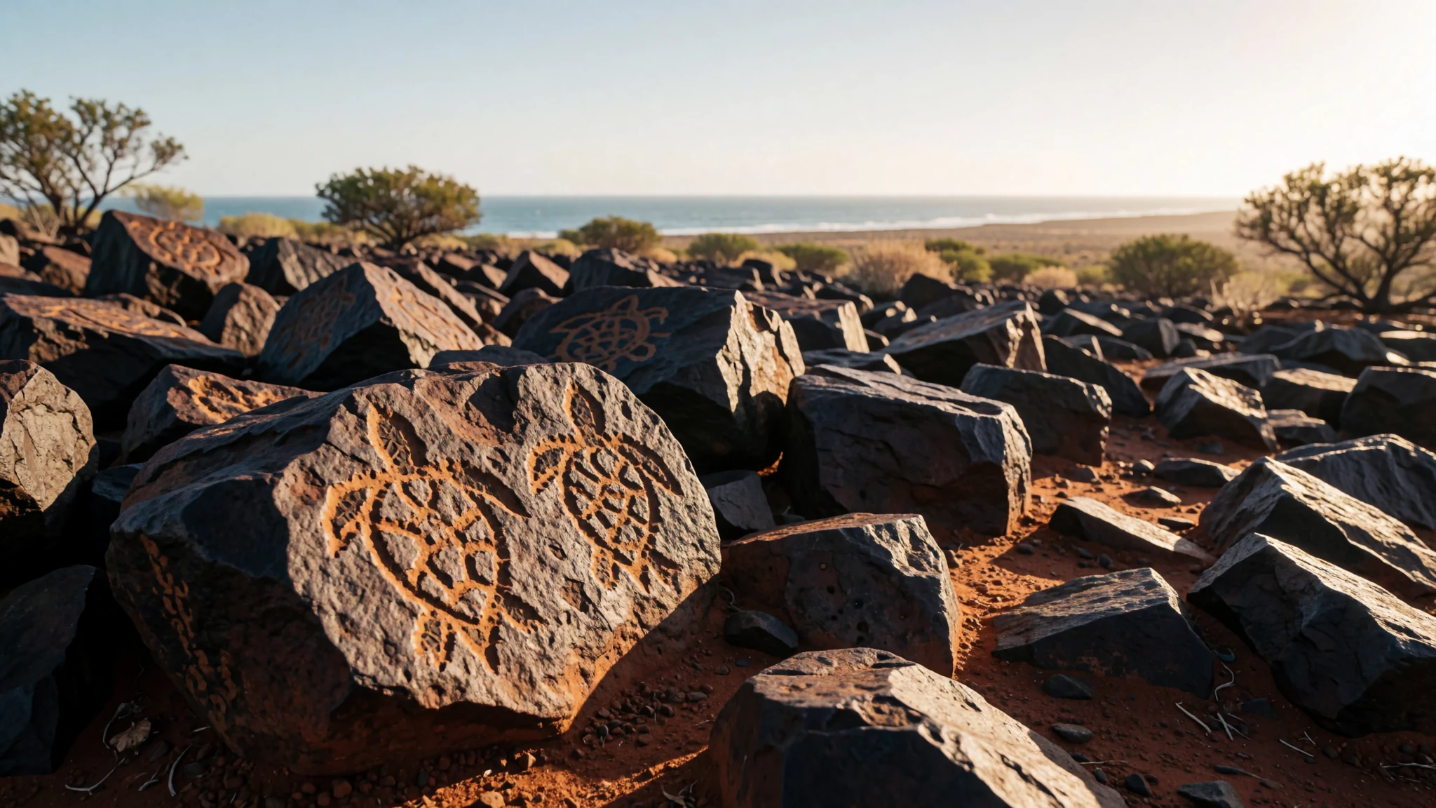
Visit Murujuga to witness the world's largest collection of ancient petroglyphs set against the dramatic coastline of Western Australia's Pilbara region.
The place
Murujuga, also known as the Burrup Peninsula, sits along the arid coastline of Western Australia's Pilbara region. Originally an island in the Dampier Archipelago called Dampier Island, the landscape was connected to the mainland by a causeway to support modern industrial development and the town of Dampier. The terrain is defined by rugged iron-rich rocks that bake under intense sunlight, interspersed with sheltered bays, tidal flats, and sparse coastal vegetation that manages to survive the extreme heat. Beneath this harsh exterior lies a cultural landscape of immense antiquity. The peninsula holds the world's largest concentration of ancient petroglyphs, with countless individual rock art motifs carved into the dark stone surfaces over tens of thousands of years. These carvings depict marine life, terrestrial animals, ancestral figures, and intricate geometric designs that reflect a deep, enduring connection between the land and its traditional custodians. Today, Murujuga exists in a stark and often controversial juxtaposition. Massive liquefied natural gas facilities and port infrastructure operate directly alongside sacred Indigenous heritage sites, creating an urgent tension between industrial progress and the preservation of irreplaceable cultural treasures. Visitors who journey to this remote corner of Oceania encounter a landscape that demands quiet reflection, offering a rare window into one of the oldest continuing human cultures on Earth through the silent, enduring witness of millions of carved stone images.
Its story
The traditional owners and custodians of Murujuga are an Aboriginal nation belonging to the Yaburara people, alongside other neighbouring language groups who share responsibilities for the country. In local Ngayarda languages, the name Murujuga translates to hip bone sticking out, a descriptive reference to the rugged geological formations that jut sharply into the coastal waters. For countless generations, these rocky outcrops served as a vital meeting place, hunting ground, and ceremonial site where families gathered and passed down laws through song, dance, and rock carving. This ancient way of life suffered a catastrophic disruption during the colonial era. Between February and May 1869, a devastating frontier conflict known as the Flying Foam Massacre resulted in the killing of a great number of Yaburara people by colonial settlers and police. Following this tragedy, surviving families and neighbouring groups including the Ngarluma, Mardudhunera, Yindjibarndi, and Wong-Goo-Tt-Oo peoples assumed the stewardship of the land, fiercely protecting its stories and sacred places. In subsequent decades, the islands underwent radical physical transformations. Initially named Dampier Island after the navigator William Dampier, the area was permanently linked to the mainland in the mid-twentieth century to facilitate mining and maritime trade. Later, the area was renamed to honour Mount Burrup, which itself took its name from a local bank clerk. In July 2025, the international community formally recognised the profound heritage of the region by designating the Murujuga Cultural Landscape as a World Heritage Site, cementing its global significance while drawing renewed attention to the delicate balance between modern industry and ancient heritage.
What to see
- Murujuga National Park — Burrup Peninsula
Wander through protected areas where trails wind among thousands of ancient petroglyphs etched into dark ironstone boulders. The park offers an intimate look at millennia-old carvings depicting native fauna and spiritual figures, though visitors must remain strictly on designated paths to protect the fragile archaeological heritage from accidental disturbance.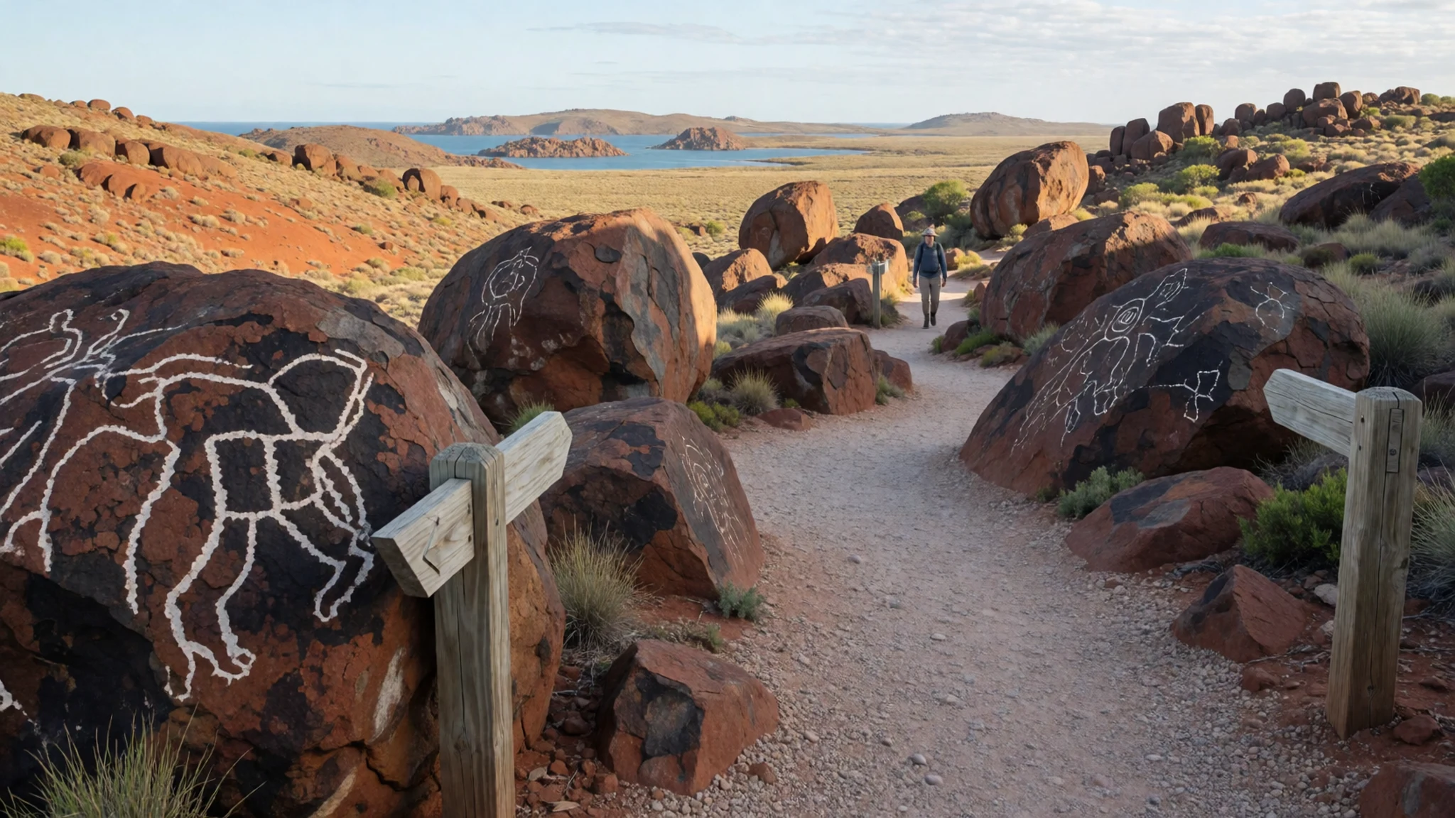
- Dampier Salt Operations — Dampier coast
View the vast commercial solar salt evaporation ponds that stretch along the coastal margins near the town. These striking pink and turquoise brines create a surreal geometric contrast against the harsh red earth and blue ocean, illustrating the scale of modern resource extraction in this remote coastal district.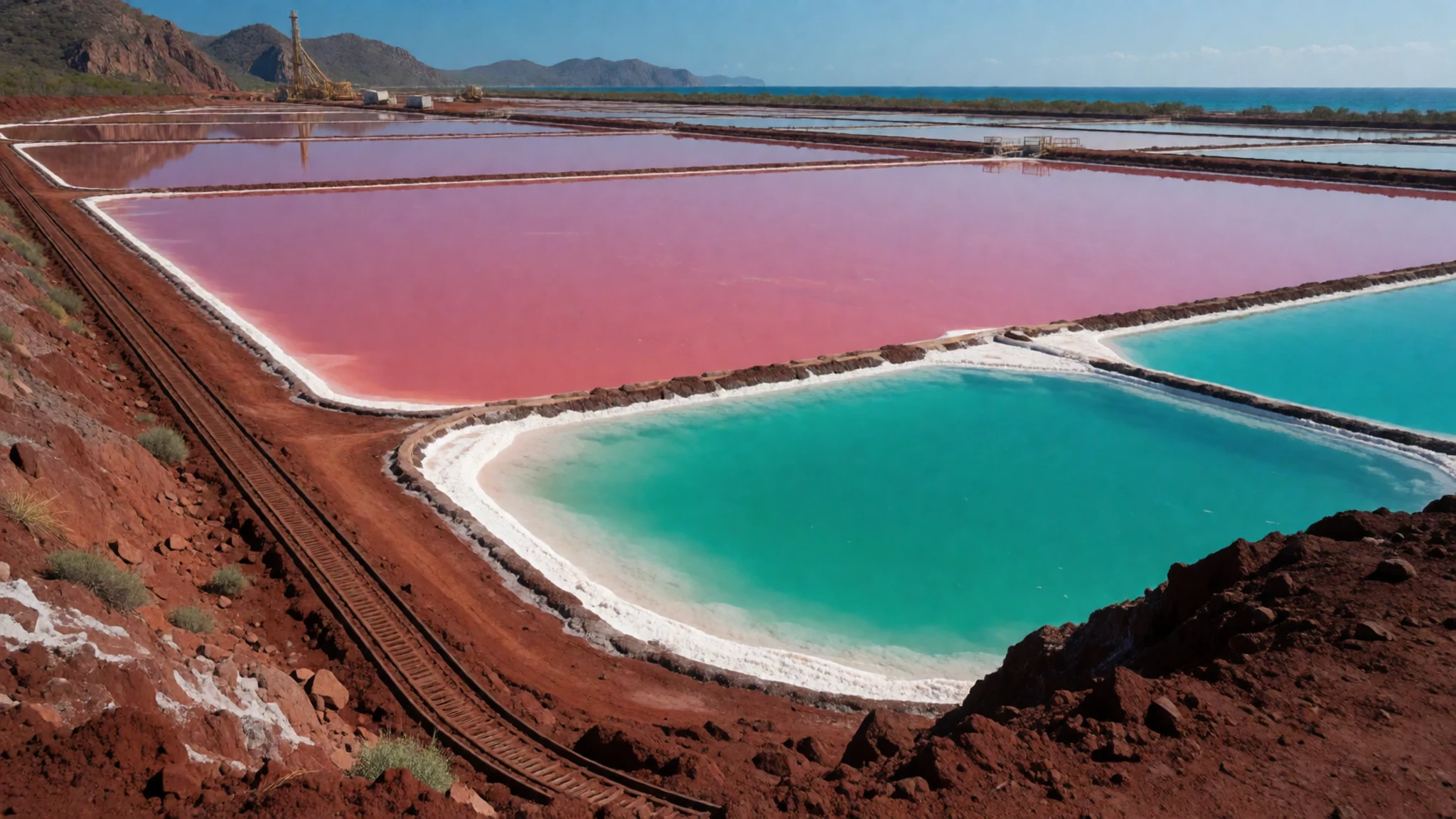
- Hearson Cove — Central Burrup Peninsula
Relax along a scenic tidal beach framed by red rock outcrops and mangroves, popular for evening strolls and watching the dramatic desert sunsets over the Indian Ocean. The shallow waters warm up significantly under the intense sun, making it a favoured local spot for wading when tide conditions permit.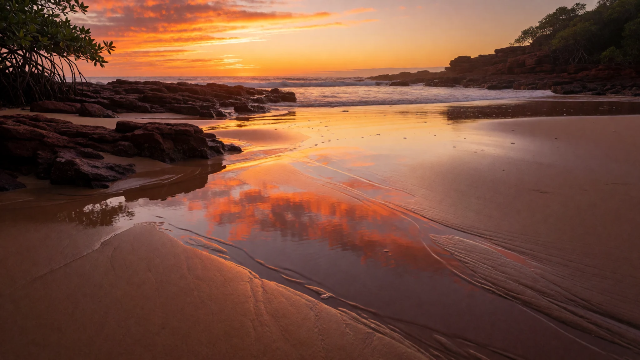
- Red Dog Statue — Dampier township
Pay respects to the bronze memorial dedicated to the legendary wandering kelpie dog who became a beloved cultural icon across the Pilbara region. The statue stands as a tribute to the independent spirit of outback working dogs and marks a popular stopping point for travellers exploring the coastal towns.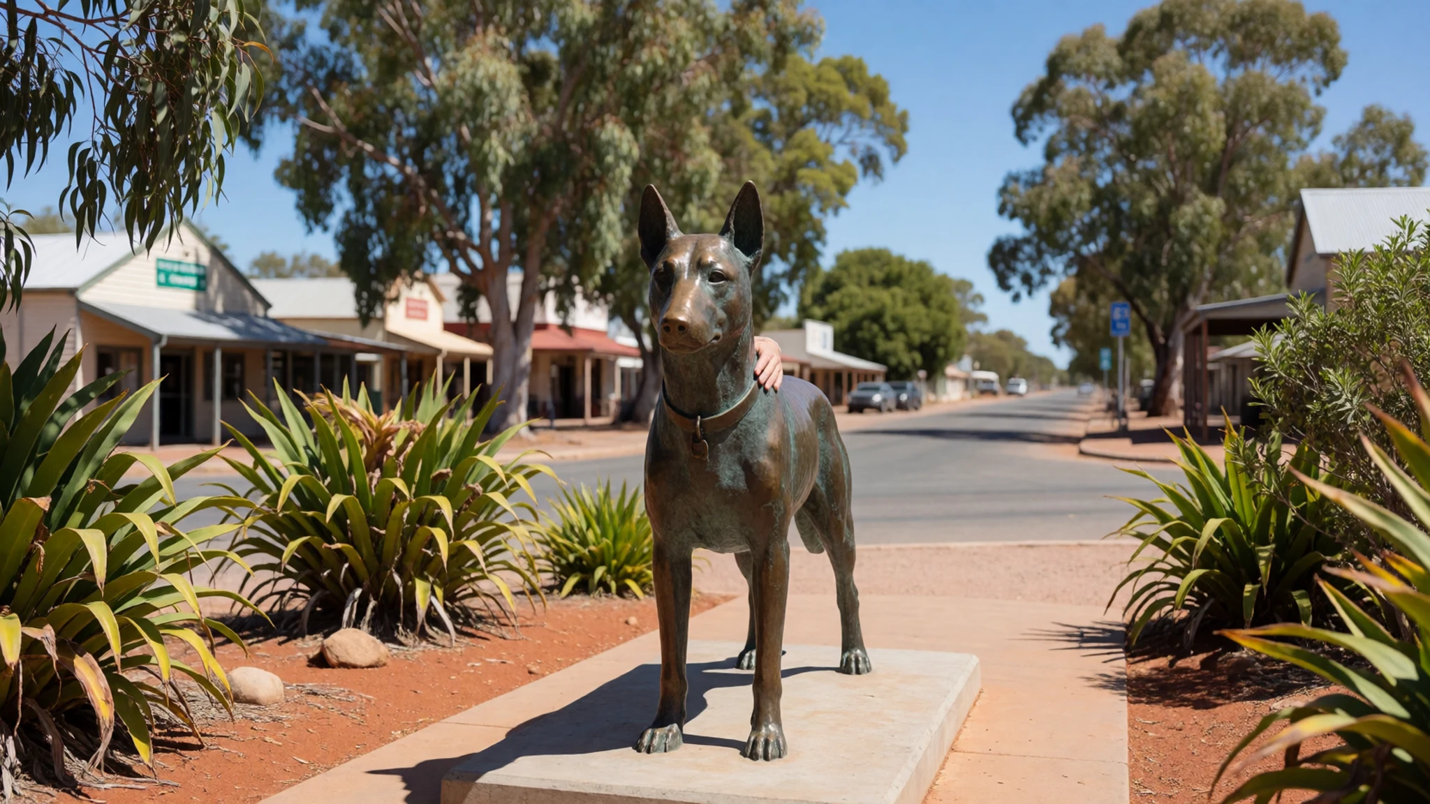
- Dampier Archipelago Islands — Offshore coastal waters
Take a boat charter out into the protected azure waters surrounding the peninsula to explore uninhabited islands featuring secluded beaches, pristine coral reefs, and untouched marine life. These waters are exceptionally clear, offering excellent opportunities for spotting sea turtles, dolphins, and diverse reef fish.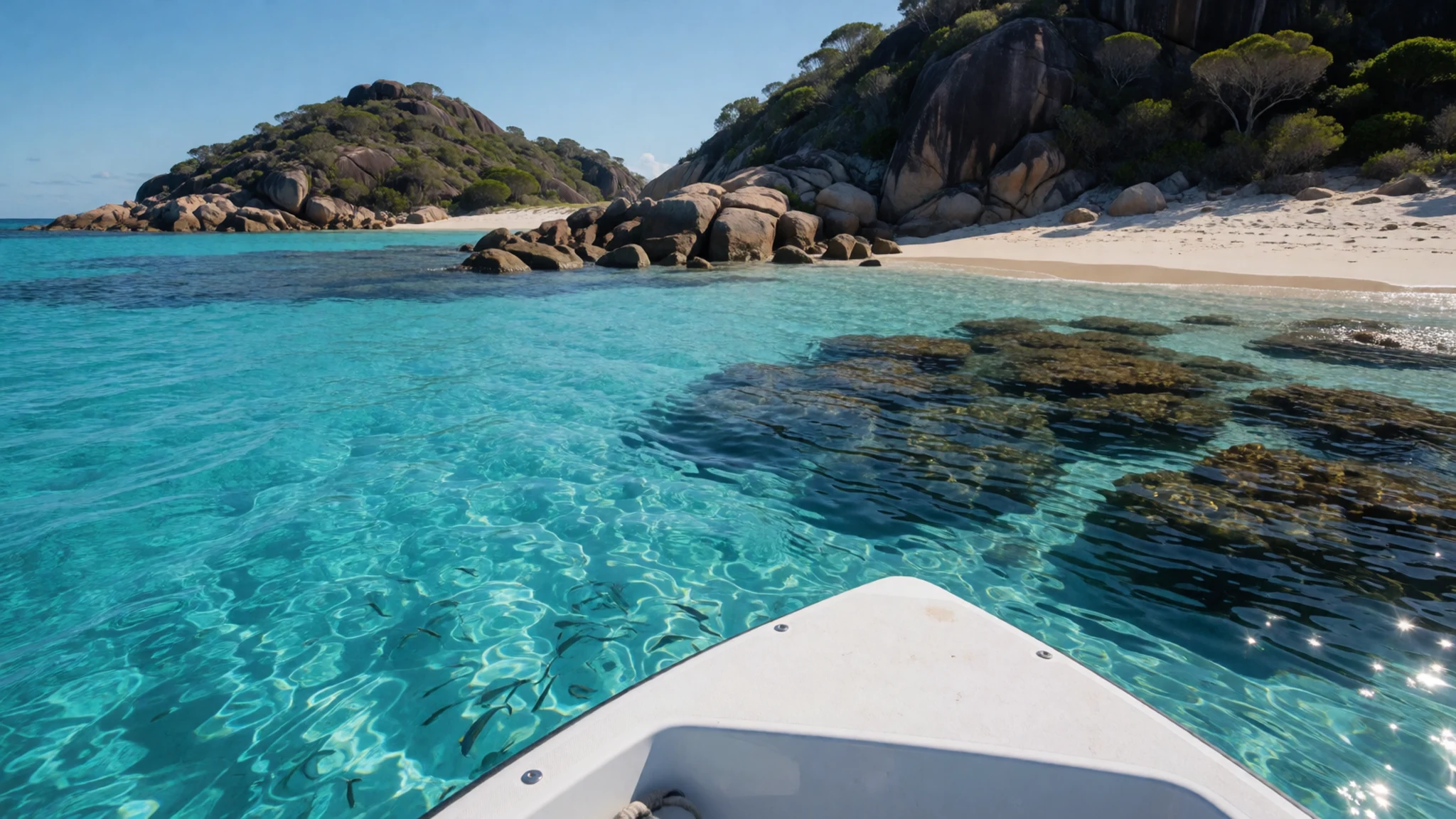
Culture
The cultural fabric of Murujuga is inextricably bound to the traditional custodianship of Aboriginal nations who have cared for this stony coast for millennia. Contemporary life in the surrounding Pilbara region is heavily influenced by the coexistence of heavy industry and sacred heritage preservation. Community discussions frequently centre on how economic prosperity driven by resource extraction must be balanced against the protection of irreplaceable ancestral sites, especially in the wake of historic losses elsewhere in the state such as Juukan Gorge. Visitors stepping onto this country enter a living cultural landscape where every stone carries spiritual significance passed down through uninterrupted generations. Traditional owners maintain a deep connection to their country through ongoing cultural practices, language revitalisation, and guiding visitors to understand the profound responsibilities tied to the land. When exploring rock art sites, always follow the guidance of traditional custodians and refrain from touching the delicate petroglyphs.
What to wear
Clothing in the remote Pilbara region prioritises survival against extreme heat and intense sunlight rather than formal style. Traditional Indigenous attire historically reflected the harsh climate, with garments adapted to provide protection from scorching temperatures while allowing freedom of movement across rugged terrain. Today, locals and workers in the coastal towns wear practical, lightweight clothing designed for high temperatures, typically consisting of breathable cotton shirts, shorts, sturdy work trousers, and wide-brimmed hats. Visitors should pack loose-fitting, sun-protective clothing made from natural fibres, reliable sunglasses, and high-factor sun cream. Sturdy, closed-toe footwear is essential for exploring the rocky terrain of the peninsula safely, as the ironstone can become sharp and excessively hot. A light windproof layer is also useful for breezy coastal evenings, while modest, respectful clothing is appreciated when attending community gatherings or cultural sites.
What to eat
- Pilbara seafood — Local coastal pubs and eateries in Dampier and Karratha
Sample fresh local catches such as barramundi and mangrove jack, often served grilled or pan-fried at coastal eateries and local pubs throughout the Pilbara region, capturing the fresh marine bounty of the Indian Ocean. - Outback pub burgers — Regional roadhouses and town hotels across the Pilbara
Enjoy hearty, substantial burgers loaded with local ingredients at regional roadhouses and town watering holes, offering a comforting and filling meal after a long day driving across the red dust of the north-west. - Fresh South-West marron — Specialty restaurants in major metropolitan centres or southern waterways
Savour delicate freshwater crustacean meat when visiting specialty restaurants in the wider state, or cook them over an open fire if you catch them legally with a recreational permit during the open season. - Manjimup black truffles — High-end dining venues in Perth and southern food regions
Experience opulent black fungus featured by trendy metropolitan establishments, prized for its intense aroma and earthy flavour that commands high prices among epicureans during the winter harvest season.
Plan it
Best time. June to August offers the most comfortable weather, July the mildest, while February is the hottest and wettest month and October to March brings the extreme heat.
How long. 2–3
Getting there. Fly into Karratha Airport from Perth, then rent a vehicle for the short drive across the causeway to Murujuga and Dampier.
Budget. mid
Tips
- Carry ample drinking water at all times as temperatures on the exposed rocks become dangerous
- Wear sturdy, closed-toe footwear to navigate the sharp ironstone terrain safely
- Book vehicle rentals and accommodation well in advance during the cooler dry season
- Check weather warnings before travelling, as summer months bring extreme heat and cyclone risks
Etiquette
- Never touch the ancient petroglyphs, as oils from human skin accelerate the erosion of the rock surfaces
- Stay strictly on designated walking tracks to protect sacred heritage sites and native flora
- Always seek permission from traditional custodians before photographing sacred cultural ceremonies
Nearby
Sources
- Wikidata Q269163 (CC0)
- Wikipedia (rev 1366152692) (CC BY-SA 4.0)
- Wikivoyage (rev 5395173) (CC BY-SA 4.0)
- Photo 01-iss026-e-12539-view-of-western-australia.jpg (Public domain)
- Photo 02-burrupmap.png (Public domain)
- Photo 03-burrup-rock-art.jpg (CC BY-SA 2.0)
- Photo 04-ancient-and-modern-4-000-years.jpg (CC BY-SA 4.0)
- Photo 05-burrup-rock-art.jpg (CC0 1.0)
- Photo 06-future-man.jpg (CC BY-SA 4.0)
- Photo 07-pilbara-billabong.jpg (CC BY-SA 4.0)


