Mount Hermon
Mount Hermon, Israeli-occupied territories
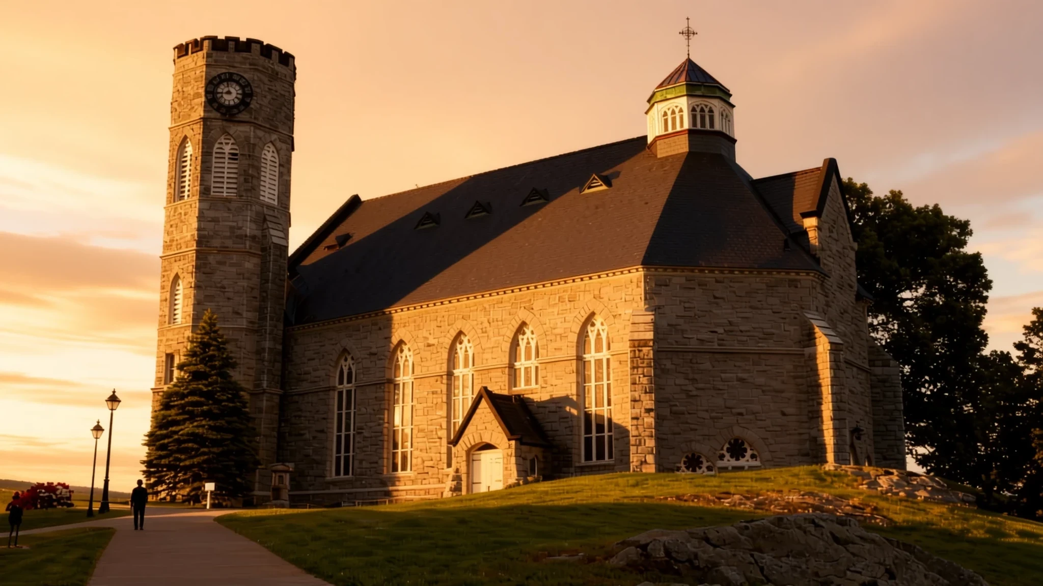
Mount Hermon offers soaring elevations, ancient fortresses, and dramatic limestone vistas bridging several borders.
The place
Mount Hermon forms a striking mountain cluster that marks the southern termination of the Anti-Lebanon mountain range. Its towering summit reaches a considerable elevation, positioning it as a prominent geographical landmark across the region. The wider mountain range extends over a significant distance in a northeast and southwest orientation, running parallel to alternative local ranges. Within this narrow cluster, international boundaries meet along the rugged spine, creating a landscape divided among multiple administrations. The terrain features extensive limestone formations shaped by natural geological processes, including solution channels and faults that define a distinctive karst topography. Because of its lofty altitude, the mountain captures substantial precipitation in an otherwise arid part of the world, receiving heavy winter and spring snowfalls that linger across its distinct peaks for much of the year. Meltwater from these seasonal drifts seeps deep into porous rock layers, eventually emerging at the base to feed numerous vital springs, streams, and rivers that sustain the surrounding valleys. The southern slopes extend into territory controlled by Israel, encompassing protected nature reserves alongside areas utilized for winter recreation. Meanwhile, higher vantage points host specialized monitoring positions within buffer zones, blending stark geopolitical realities with raw, weathered wilderness. Visitors navigating the foothills encounter sweeping panoramas, deep river valleys, and an atmosphere far removed from the bustling coastal plains below, making it an essential destination for those drawn to rugged mountain geography.
Its story
For millennia, Mount Hermon has occupied a vital place in the cultural and spiritual imagination of the Middle East, revered in ancient texts and historical chronicles alike. Its imposing, snow-capped silhouette served as a natural landmark and a sacred boundary for successive civilizations that flourished in the Levant. Ancient rulers and pastoral communities alike looked up to its towering heights with awe, viewing the perpetual snows as a divine source of life-giving water for the parched plains below. Throughout the medieval era, the strategic importance of the surrounding terrain intensified, prompting rulers to construct formidable defensive architecture along the ridges and approaches to guard against invading forces. Castles and strongholds were engineered to command the mountain passes, utilizing the steep topography as a natural shield. In more recent decades, the ridges and valleys have witnessed complex geopolitical shifts, transforming portions of the range into heavily monitored border zones. Military outposts and United Nations positions have been established on the highest ground, underscoring the enduring strategic value of the heights. Despite these modern divisions, the mountain retains its timeless character, echoing with the footsteps of ancient traders, shepherds, and soldiers. The cultural heritage of the area is preserved not only in crumbling stone fortresses and archaeological remnants scattered across the foothills, but also in the oral traditions of the diverse communities who have farmed, herded, and lived in the shadow of the great peaks for generations, weathering political transitions while remaining deeply tied to the land.
What to see
- Nimrod Fortress National Park — Northern Golan Heights
Perched dramatically on a wooded ridge in the northern heights, this sprawling medieval fortification was constructed by Muslim rulers during the thirteenth century to protect against external attacks. Visitors can explore extensive stone ruins, dark dungeons, secret stairwells, and towering defensive walls while enjoying sweeping vistas across the wooded valleys below.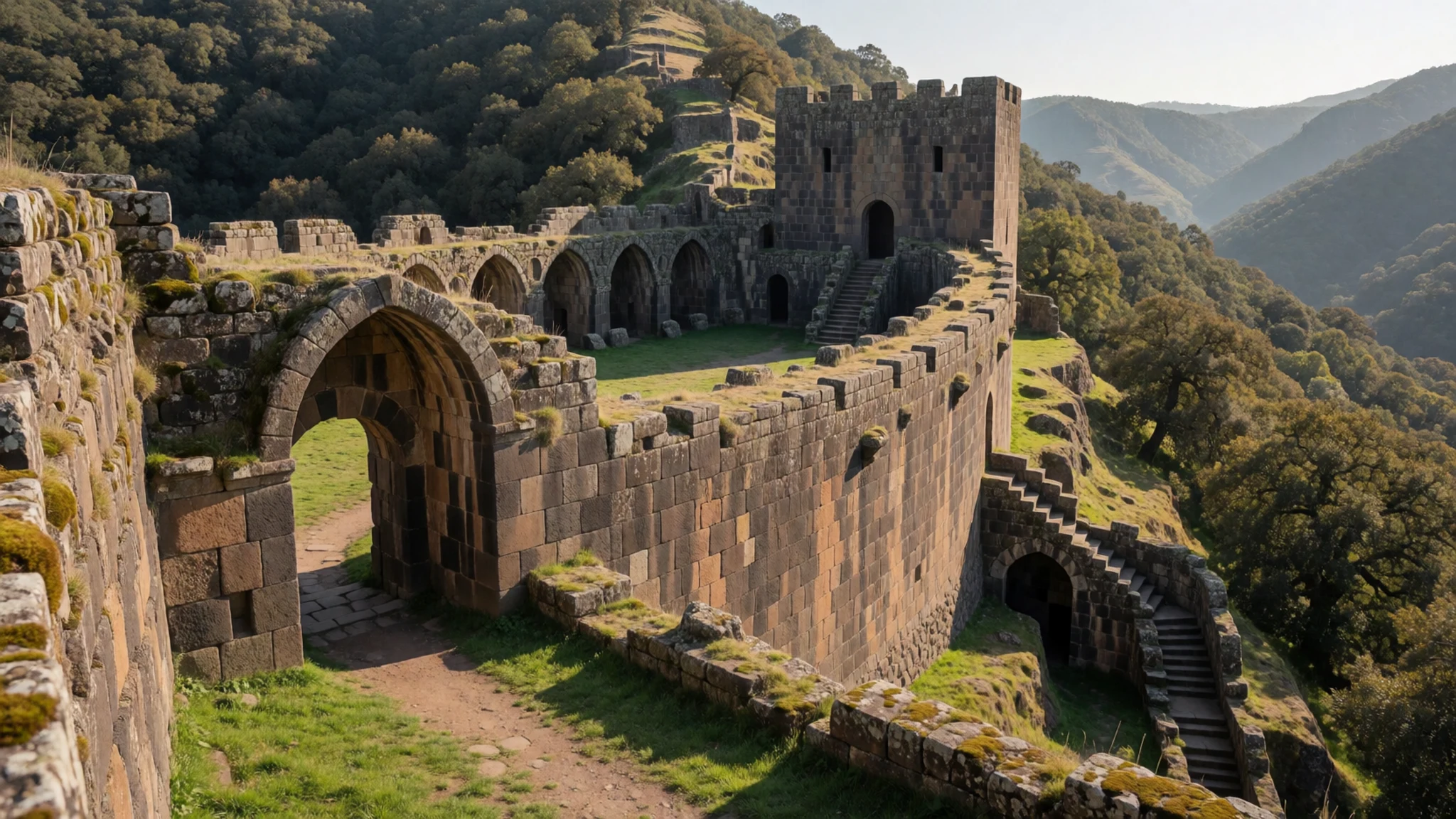
- Gamla Nature Reserve — Southern Golan Heights
Set within a dramatic canyon landscape, this protected archaeological site preserves the remains of a fortified ancient Jewish stronghold dating back to ancient times. The rocky hilltop resembles the hump of a camel, offering rugged hiking trails, a seasonal waterfall, and nesting colonies of massive griffon vultures soaring overhead.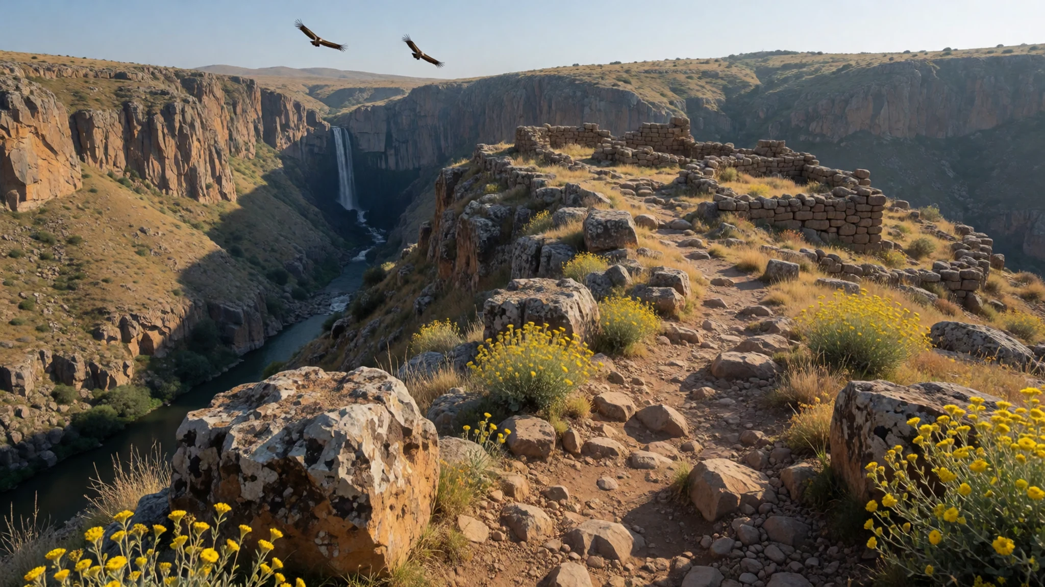
- Mount Bental — Eastern Golan Heights
This elevated volcanic cone features preserved military bunkers and trenches left over from past conflicts, offering a fascinating glimpse into regional history. From the windswept summit rim, travellers enjoy panoramic views stretching across neighboring territory, alongside whimsical metal sculptures crafted by local artists from recycled military scrap.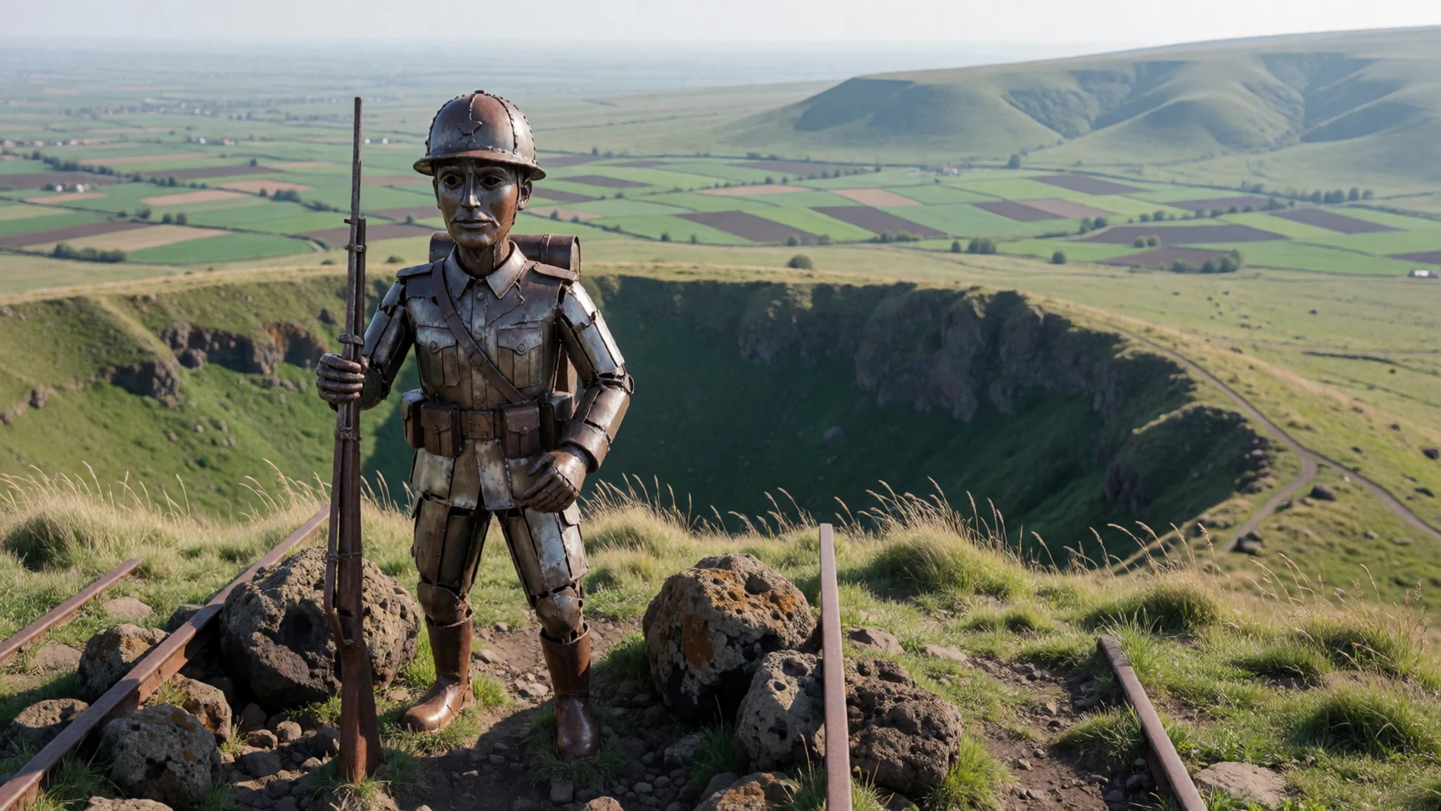
- Sa'ar Fall and Viewpoint — Northern foothills
Tucked away along the winding mountain roads, this rushing cascade is fed by winter rains and melting snows rushing down from the upper heights. A convenient roadside observation point and short walking path allow visitors to experience the powerful rush of water plunging through basalt gorges surrounded by lush seasonal greenery.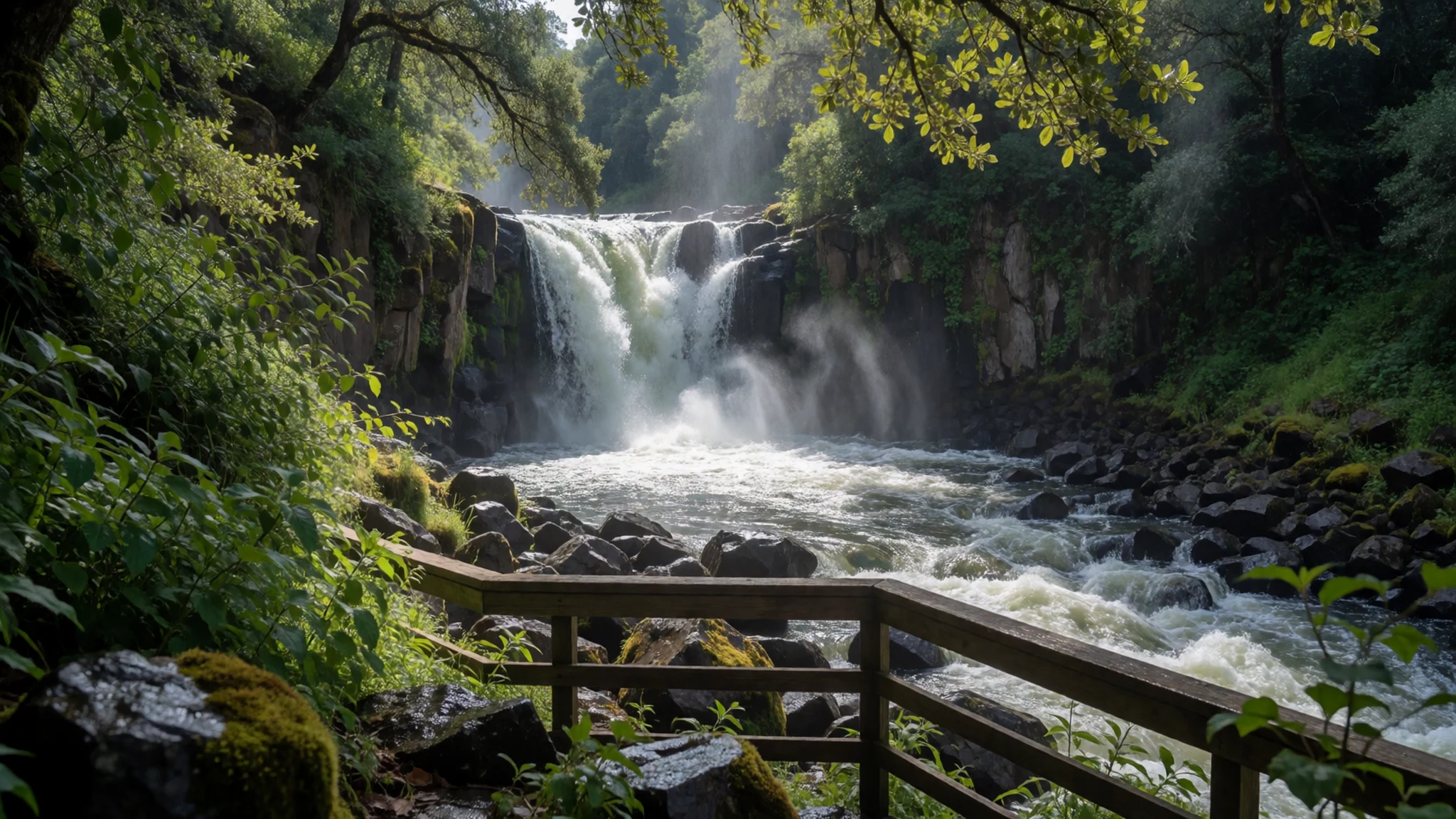
- Golan Volcanic Park — Central plateau
An educational outdoor exhibition area that highlights the fascinating geological origins of the surrounding volcanic landscape without any active hazards. Informative displays explain tectonic shifts and magma flows, while artistic installations crafted from dark volcanic gravel add a creative touch to the rugged rural surroundings.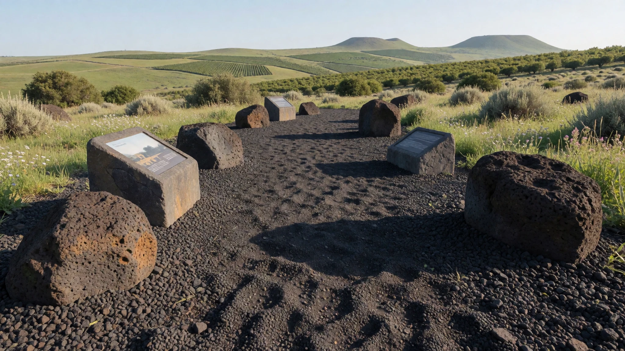
Culture
The cultural fabric surrounding Mount Hermon reflects a rich mosaic of traditions shaped by rural farming communities, pastoral heritage, and diverse religious groups inhabiting the wider Levant. Traditional village life has long revolved around agriculture, terraced orchards, and livestock grazing, with local communities passing down specialized knowledge of foraging, seasonal water management, and winemaking through generations. Hospitality remains a cornerstone of daily interactions, where guests are routinely welcomed with strong coffee or herbal infusions. In rural settlements, traditional customs blend seamlessly with modern routines, creating a relaxed pace of life distinct from major metropolitan centers. Visitors will notice distinct linguistic dialects and architectural styles that vary across villages, reflecting historical ties to surrounding regions. Traditional attire in rural areas historically prioritized practical durability against harsh mountain weather, utilizing local textiles and sturdy wools, though western casual wear is now universally adopted for daily activities. Respect for local customs, sacred sites, and community sensibilities is paramount when exploring rural villages and historic shrines. Always ask permission before photographing local residents in traditional villages.
What to wear
Traditional dress in the communities surrounding the mountain historically emphasized warmth, durability, and modesty to cope with cold winters and rugged outdoor labour. Traditional garments included heavy woolen robes, tailored vests, and distinctive head coverings designed to shield against intense sun and biting mountain winds, spun from locally sourced sheep wool and cotton. Today, everyday attire across the region is thoroughly modern, with residents dressing in practical casual wear such as jeans, cotton shirts, and comfortable footwear suitable for active daily life. For travellers exploring the mountain and its foothills, dressing in practical layers is essential due to shifting microclimates that can bring sudden drops in temperature, particularly at higher elevations or during windy conditions. Sturdy walking shoes or hiking boots with good grip are mandatory for navigating rocky trails, uneven fortress grounds, and damp ravines. Modest attire—covering shoulders and knees—is strongly advised when visiting rural villages, religious sites, or heritage areas to show respect for local traditions and community standards.
What to eat
- Mountain Grilled Meats — Rural steakhouses and roadside grills across the northern heights
Hearty, charcoal-grilled cuts of beef and lamb seasoned with local herbs, often served alongside fresh flatbreads, vibrant salads, and garlic pastes.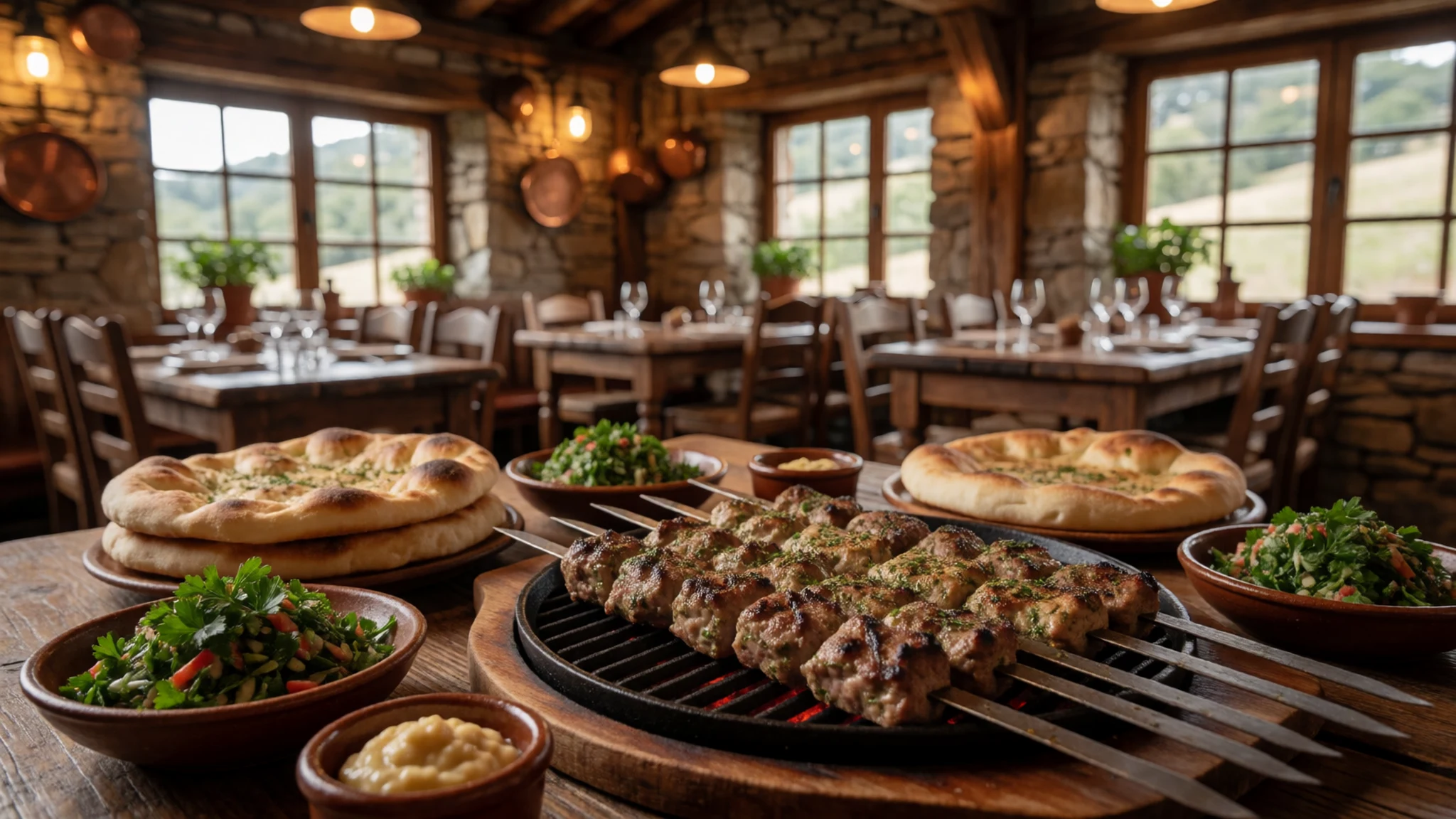
- Artisanal Chocolate Selection — Specialist rural workshops in the central plateau
Handcrafted pralines, truffles, and specialty confectionery infused with local ingredients, offering a sweet treat after exploring the chilly slopes.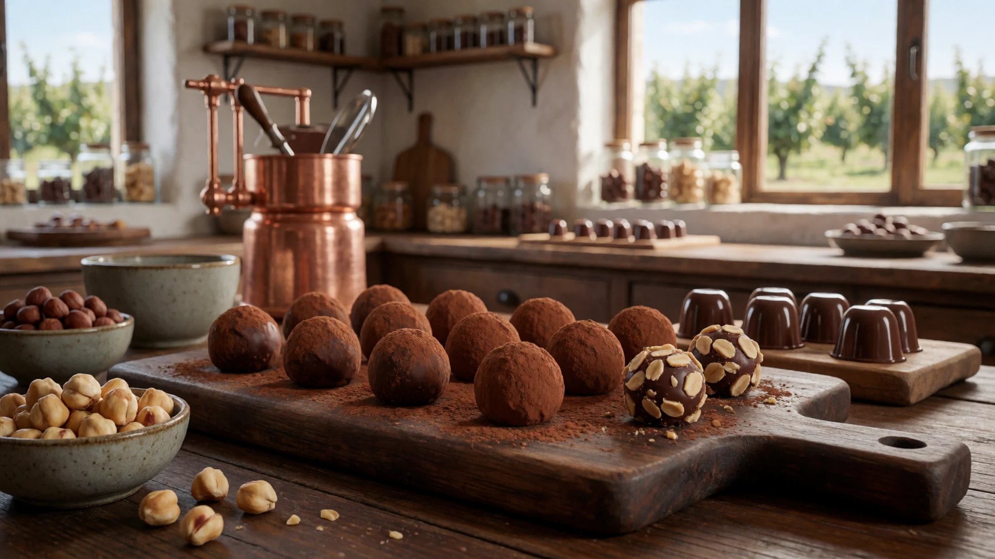
- Winery Platters and Local Wine — Family-run estate wineries tucked into the hillside valleys
Cool-climate wines paired with rustic cheese boards, wood-fired pizzas, and crisp green salads featuring locally grown olives and fresh garden vegetables. - Seasonal Fresh Fruit Picking — Agricultural orchards throughout the high plateau
An interactive culinary experience allowing visitors to harvest sweet cherries, berries, and stone fruits directly from sprawling orchards during the warm summer and autumn months.
Plan it
Best time. January to March offers snow sports and winter landscapes, while November and December bring crisp air and autumn colors; summer months are warm, dry, and ideal for hiking.
How long. 2–3
Getting there. Accessible primarily by private car via major north-south highways and ascending mountain roads, or via infrequent regional bus services operating from northern transport hubs.
Budget. mid
Tips
- Never walk or drive off established roads or marked paths into open fields due to unexploded ordnance and active mine risks.
- Pack warm layers and windproof jackets, as high-altitude winds can cause temperatures to plummet unexpectedly.
- Hire a rental car for maximum flexibility, as public transport options between rural sights and trailheads are extremely limited.
- Check weather forecasts and resort operating status before attempting to drive up to the upper peaks during winter storm seasons.
Etiquette
- Always respect marked security boundaries and military warning signs posted along roadsides and hiking trails.
- Ask for permission before taking photographs of local residents in traditional rural villages.
Nearby
Sources
- Wikidata Q215471 (CC0)
- Wikipedia (CC-BY-SA 4.0)
- Wikivoyage (CC-BY-SA 4.0)