Los Katíos National Park
Los Katíos National Park, Colombia
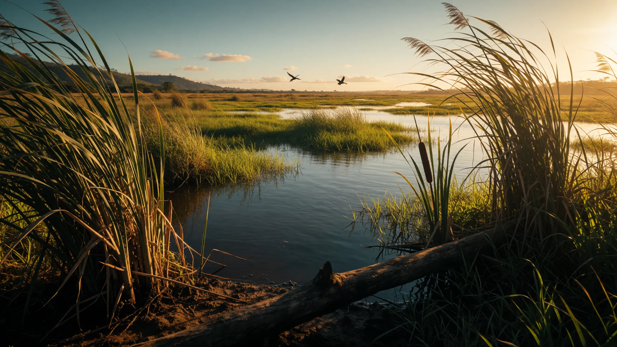
Go for a humid, species-rich slice of the Darién Gap where wetlands, forests and hills come together.
The place
Los Katíos National Natural Park (Parque Nacional Natural Los Katíos) sits in northwest Colombia inside the Darién Gap, a dense forest region shared with Panama. It covers about 720 km across varied terrain, and the landscape reads like a patchwork: low hills, swampy marshes, wet plains and river floodplains. Elevations here run from low ground up into forested relief, creating different habitats close together.
A good mental map is to think in two big zones. To the west are the Serranía del Darién mountains, where forest closes in around ridges and valleys. To the east are the Atrato River floodplains, made up of alluvial plains with terraces that flood often or rarely. Vast areas are wetlands, including marshes spread across nearly half of the park’s total area.
The park’s ecology is a big part of its pull. The wetlands of the Atrato floodplain support distinctive habitat, including cativo—an indigenous tree species that can grow very tall and is closely tied to Colombia, lending its name to the ‘catival’ formation. Wildlife spotting is possible, but the real experience is the sense of moving through different kinds of green: flooded, half-flooded and upland.
It is a remote, logistics-heavy destination rather than a quick nature day trip. Heat and humidity are part of the deal, and access can shape what time of day and which routes are practical. Seasons matter for comfort, with drier months generally coming in the middle of the year and again around late autumn.
Its story
Los Katíos National Natural Park is more than a protected green space; it sits on a corridor of history and changing livelihoods. Long before modern conservation, the region was inhabited by the Guna. After internal fighting, the group had to surrender the Choc region to the Katío-Embera and migrated towards Panama. That early human story helps explain why this landscape is discussed both as wilderness and as home territory.
The Darién region also carries a much older “land bridge” significance: it has been linked to the first settlers who used the connection between North and South America around 20,000 years ago. In the post-Columbian era, Spanish explorers such as Rodrigo de Bastidas, Alonso de Ojeda and Vasco Núñez de Balboa are recorded as having reached the wider region in 1501.
In more recent times, land use inside the park was limited to a small portion being farmed—reported as about one percent in the Sautatá area, used for sugar cane cultivation. When the park was established in 1974, relocation followed: local families moved to nearby towns including Unguía, Puente América, Tumaradó and Cacarica.
Conservation challenges then shaped the park’s modern chapter. In 2009, Los Katíos was placed on the List of World Heritage in Danger amid threats such as deforestation, unauthorised settlements, and illegal fishing and hunting. By 2015, improvements in management helped it return to the World Heritage list without “in danger” status. Today, the park’s story is still tied to ongoing protection of forests and wetlands.
What to see
- Atrato floodplains (wetlands and water-edge forest) — Atrato River floodplains, east
Los Katíos National Park’s Atrato River floodplains are a study in water levels. Alluvial terraces flood often or only seldom, and the wetlands stretch across a huge share of the protected area—best read as slow-moving habitat rather than “a lake”.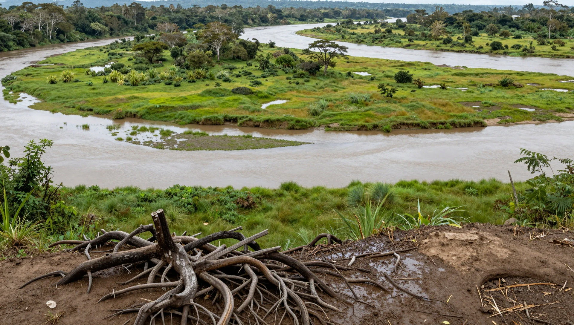
- Serranía del Darién mountains (dense forest relief) — Serranía del Darién, west
On the west side, the Serranía del Darién brings ridges and valleys wrapped in forest. This is where “terrain diversity” becomes visible: going from low hills into higher, wetter slopes changes the feel of the air and the density of greenery.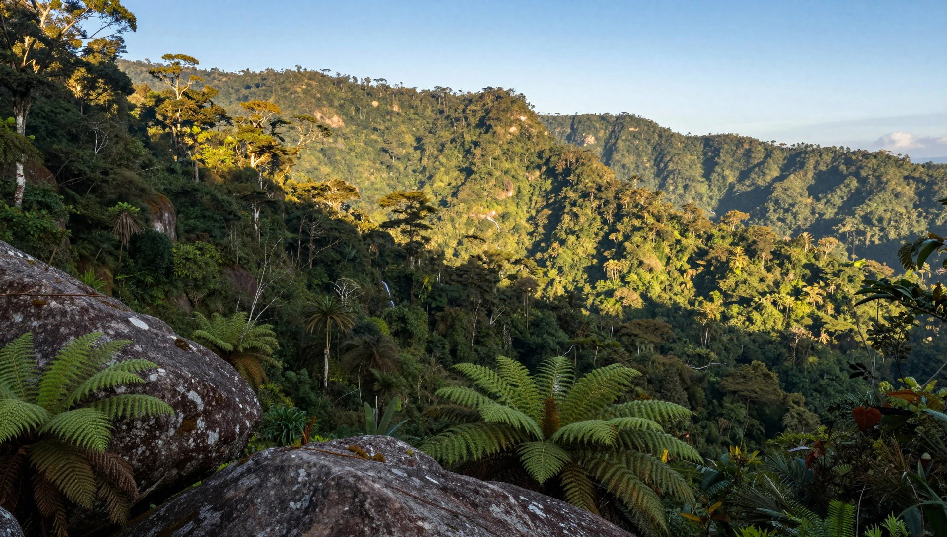
- Catival and cativo tree habitat — Wetland forest areas linked to cativo (catival)
Cativo is one of the indigenous species associated with a formation called ‘catival’. In Los Katíos, this habitat gives a distinctive forest texture: tall trees, shaded ground and plant life adapted to wet conditions, with local ecology that is hard to replicate elsewhere.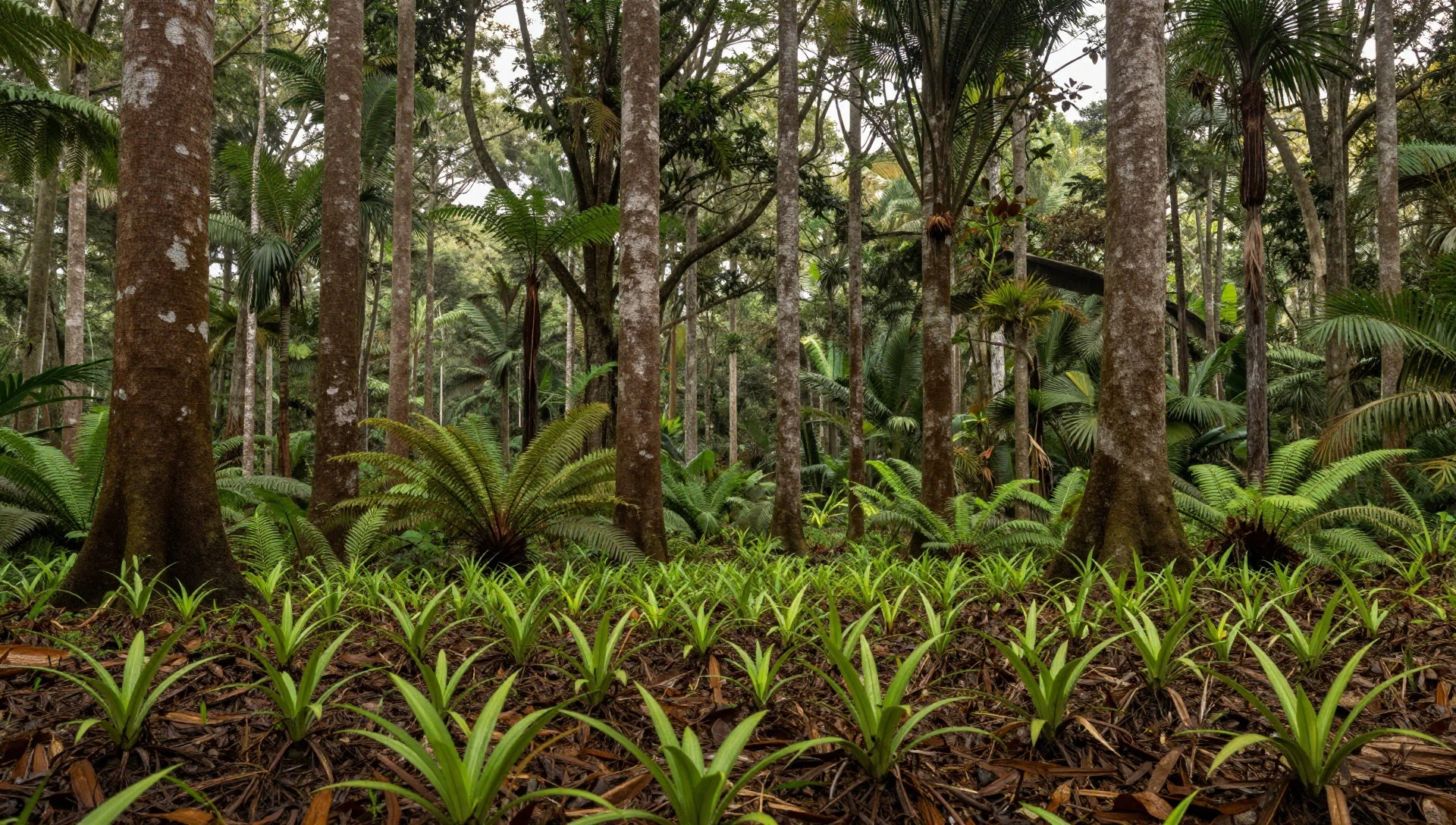
- Low hills and marsh mosaics — Central low hills and marsh zones
The park also mixes low hills up to a couple of hundred metres with swampy marshes and wet plains. The result is a “patchwork” landscape—dry-ish ground blocks next to flooded edges—so tracks, trails and viewpoints can change character quickly.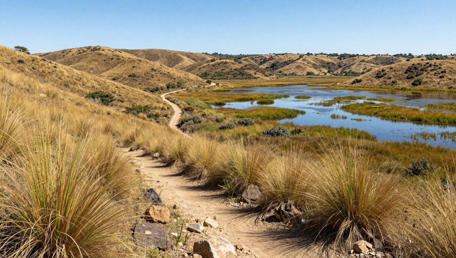
Culture
Los Katíos National Park sits within a broader Darién cultural landscape shaped by indigenous movement and later colonial contact. The Guna presence is part of the region’s remembered history, connected to the Choc region and the shift towards Panama after internal conflict. Later, the area is recorded as being reached by Spanish explorers in 1501, tying this remote corner to the wider early exploration narrative.
In the modern conservation era, people and park boundaries are closely linked. After the park was established in 1974, families were relocated to nearby towns including Unguía, Puente América, Tumaradó and Cacarica. Decades later, threats to protection—such as deforestation and illegal extraction—became part of the public record, and by 2015 management improvements helped the park recover from being listed as “in danger”.
For visitors, that means the park experience isn’t only about wildlife; it’s also about respecting a living landscape shaped by past displacement and ongoing protection. If boat access, guides or community-run parts of the visit are offered, these are often the practical link between conservation and local livelihoods. In practice, patience pays—conditions can be slower and more variable than in easier parks.
Be considerate with local communities and staff, and keep to agreed routes—don’t push into sensitive wetland areas or disturb wildlife.
What to wear
Los Katíos National Park sits in a hot, wet environment where the most useful “fashion choice” is clothing that can cope with humidity, mud and sudden water. Traditional dress in the region is often tied to indigenous identity and local craft, with textiles that reflect cultural heritage rather than short-term trends. While visiting, you’re unlikely to see everyday traditional wear throughout the park area, but the best way to engage respectfully is to notice local clothing where it’s worn for community life and ceremonies, and avoid treating it like a costume.
In day-to-day life, most practical wear looks similar across tropical destinations: lightweight layers, breathable fabrics, and long sleeves or trousers when vegetation gets thick. For visitors, plan for wet ground and insects. Choose quick-dry trousers, a long-sleeved top or light overshirt, and a waterproof jacket if available. Closed shoes with good grip matter because marsh edges and river-adjacent terrain can be slippery. Bring a spare dry top in case clothing stays damp for the whole day.
Avoid anything too delicate or that traps moisture. If you have to handle wet trails, faster-drying materials keep energy up. Use a cap or hat for sun breaks and pack a basic insect-repellent routine in the same day-bag.
What to eat
- Plantain-based dishes — Gateway towns near the park
Plantain features heavily across Colombia’s humid regions, often fried or stewed. Look for it at local eateries in nearby towns and community-run places around gateway areas, especially around lunch where simple plates are common.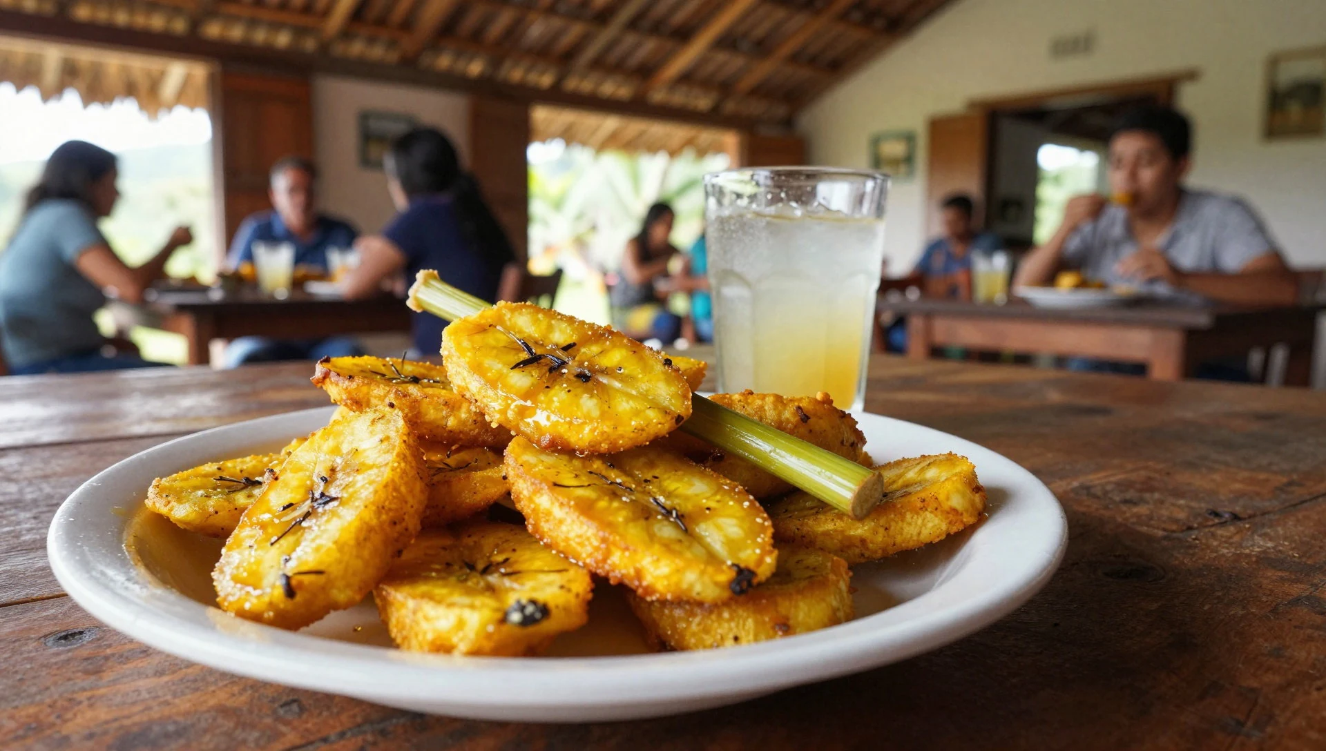
- Rice with stews — Small restaurants and local eateries in the region
Simple rice-and-stew plates are a dependable base after time outdoors. You’ll usually find them at small restaurants and canteens in nearby settlements, where portions are designed for practical, filling meals rather than fine dining.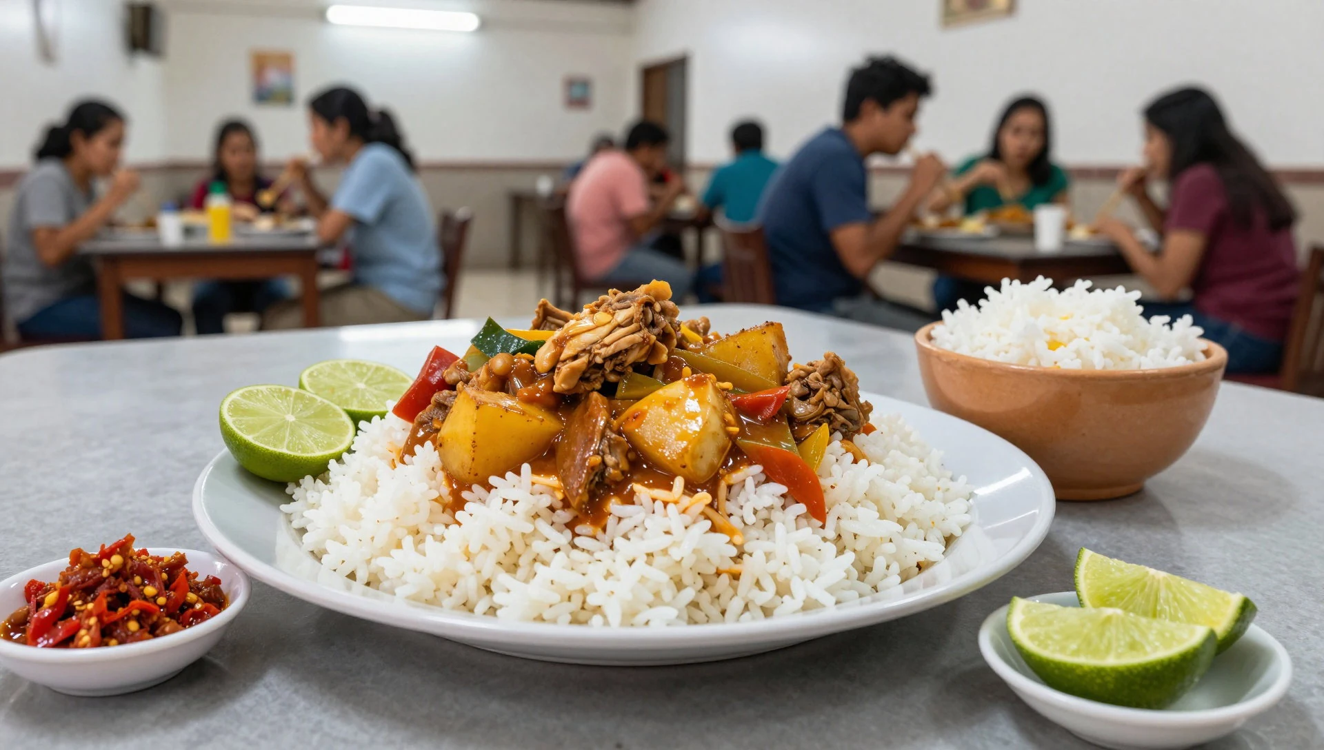
- Fresh fruit and juices — Roadside stalls and local shops
Tropical fruit shows up as whole fruit and as juice, often with ice or diluted with water. It’s an easy way to refuel between transfers, and you’ll usually spot options at casual roadside stops and local shops. - Grilled fish when available — Eateries in communities near water routes
Because the park landscape is defined by rivers and wetlands, fish-based meals can appear on menus when local supply allows. Ask what’s freshest and keep it simple—often grilled or stewed with local seasonings.
Plan it
Best time. March–April for more comfortable conditions and calmer outdoor time; late October–November for another good window. June tends to bring rainier weather, and August can be hot and humid.
How long. 3–4
Getting there. Fly to Medellín, then arrange the last legs by road and/or local transfer services into the park region. The practical route depends on seasonal access and which entry area your operator uses; confirm the plan before you travel.
Budget. high
Tips
- Prioritise early starts for longer walking and better light, especially when humidity builds fast
- Expect slower timings: wetlands and forest trails can be unpredictable after rain
- Bring insect protection and wet-weather gear, and keep a dry set of clothes for evenings
- Plan around what your local guides consider safe routes—access can change
- Keep some cash for small local purchases where card payments may not be reliable
Etiquette
- Keep to marked or agreed paths and don’t step into unexplored wetland edges
- Ask before photographing people in community settings, and avoid intrusive close-ups
- Treat wildlife encounters as observation only—no feeding or chasing
Nearby
Sources
- Wikidata Q305169 (CC0)
- Wikipedia (rev 1372227785) (CC BY-SA 4.0)
- Wikivoyage (rev 5066502) (CC BY-SA 4.0)
- Photo photos/01-giant-anteater-4531346746.jpg (CC BY-SA 2.0)
- Photo photos/02-entrando-por-el-cacaricas-panoramio.jpg (CC BY 3.0)
- Photo photos/03-kat-os-natural-park.jpg (CC BY-SA 4.0)
- Photo photos/04-kat-os.jpg (CC BY-SA 4.0)
- Photo photos/05-parque-nacional-natural-los-kat-os.jpg (CC BY-SA 4.0)


