Loch Lomond and The Trossachs National Park
Loch Lomond and The Trossachs National Park, United Kingdom
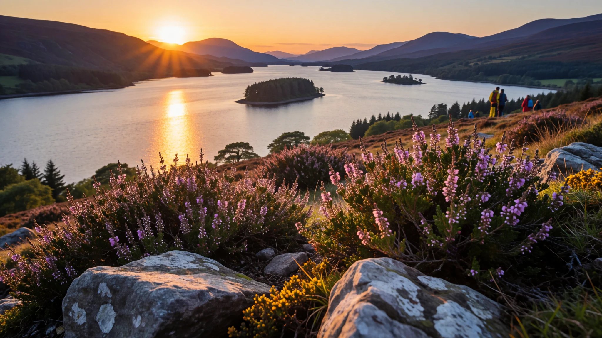
Loch Lomond and The Trossachs National Park offers loch, glen and hill within easy reach of Glasgow, if the weather agrees.
The place
Loch Lomond and The Trossachs National Park covers a broad slice of Scotland's southern highlands, north of the Glasgow conurbation, with the loch as its southern anchor and the Trossachs glens folding away to the east. In Gaelic it is Pàirc Nàiseanta Loch Laomainn is nan Tròisichean. The designation dates from 2002, when this became a national park of Scotland and a public body in its own right. The land runs to about 1,865 km (720 sq mi), with a boundary near 350 km (220 mi) long, which puts it fourth among national parks in the British Isles. Twenty-one Munros stand inside the boundary. Ben Lomond is the familiar one above the loch; Ben More, Ben Lui, Beinn Challuim and two hills that share the name Ben Vorlich are among the rest, with twenty Corbetts besides. The Highland Boundary Fault cuts the park in two. South of that line the ground is lower, greener and long settled; north of it the rock hardens into mountain. At Loch Lomond the fault is easy to read: it crosses Inchmurrin, Creinch, Torrinch and Inchcailloch, then climbs the ridge of Conic Hill, so the islands themselves sit on the join between lowland and highland. In 2017 the park recorded 2.9 million visits, 2.1 million of them day trips and 783,000 by people who stayed overnight. Glasgow's proximity explains that pressure. People come for the water, the ridges and the wildlife, and the shores fill quickly on a bright weekend.
Its story
Loch Lomond and The Trossachs National Park has drawn outsiders for centuries because the Central Belt sits just to the south. Samuel Johnson and James Boswell came along the loch in 1773 and Johnson, used to softer country, thought the shores offered little but rough, unworked ground. The Trossachs, the wooded country at the foot of Loch Katrine, became a set piece of Scottish touring, reached by steamer between the pier and Stronachlachar, or on foot and by bicycle along the lane that circles the head of the loch. On Inchmahome, in the Lake of Menteith, a ruined priory marks a quieter episode: the child who would reign as Mary, Queen of Scots was kept on the island while her guardians steered her clear of factions that threatened her. The hills entered the modern walking calendar as Munros and Corbetts, and the loch as a place for boats. Water sports and long walks replaced the carriage tour as the reason to come. By 2017 the annual count stood at 2.9 million visits. Careless camping left litter and noise along Loch Lomond and through the Trossachs, and those stretches were closed to wild camping even though a night outdoors remains a general right elsewhere in Scotland. The authority created in 2002 now has to balance open hills with shores that cannot absorb every weekend.
What to see
- Loch Lomond at Luss — Luss, west shore of Loch Lomond
Luss gives Loch Lomond and The Trossachs National Park a wide shore view: a pier, wooded islands and the high ground closing in to the north. Boats from Balmaha reach Inchcailloch, the only island visitors may land on, where woodland hides a ruined church and a small campsite. The west-shore road fills with coaches on bright weekends, so morning arrivals see the water before the car parks do.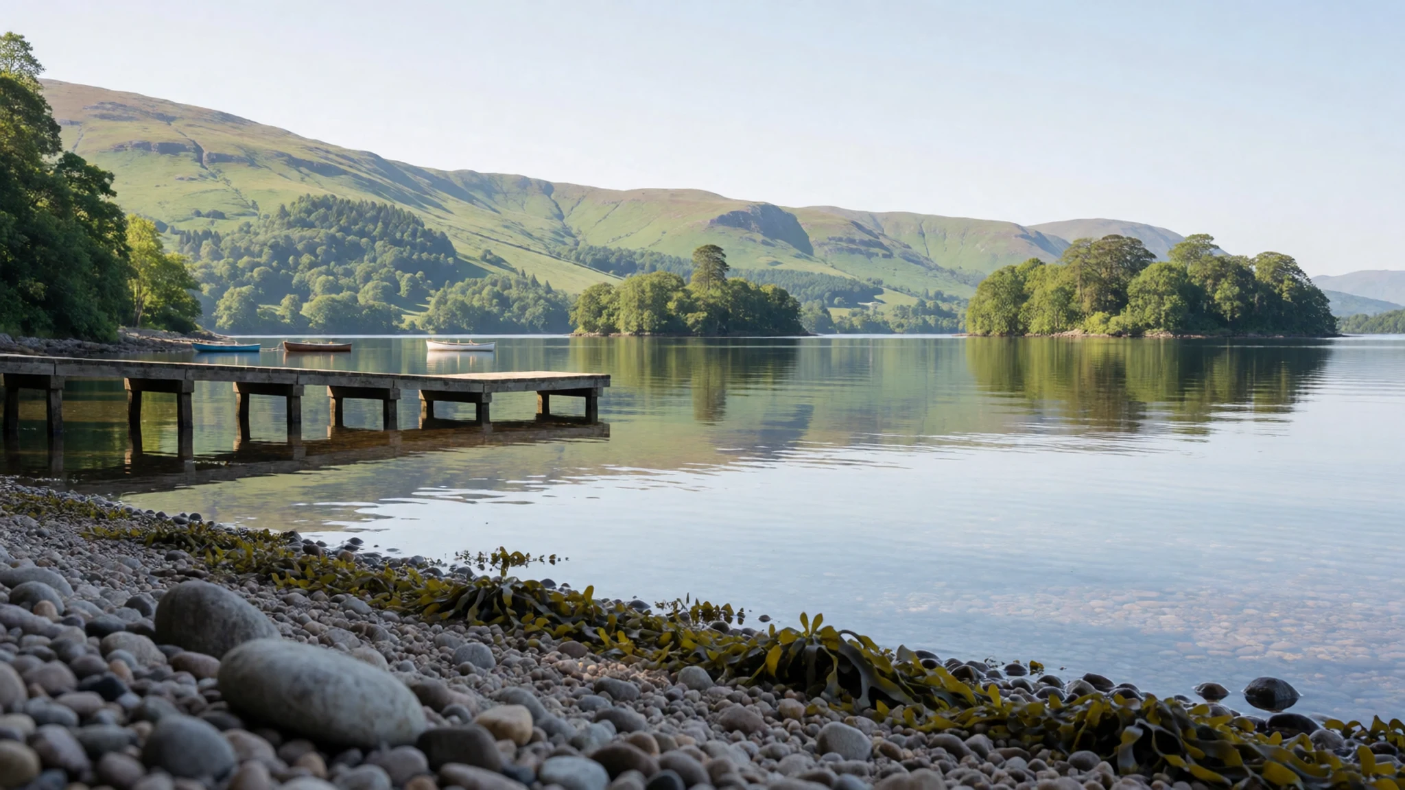
- Ben Lomond — Rowardennan, east shore of Loch Lomond
Ben Lomond stands on the east shore in Loch Lomond and The Trossachs National Park. From its slopes the loch runs between islands, with lower country southward and higher ridges to the north. The usual start is Rowardennan, and the path fills on clear days. Cloud, cold wind and slippery rock matter more than the steepness. Losing the line in mist is how an ordinary walk turns serious.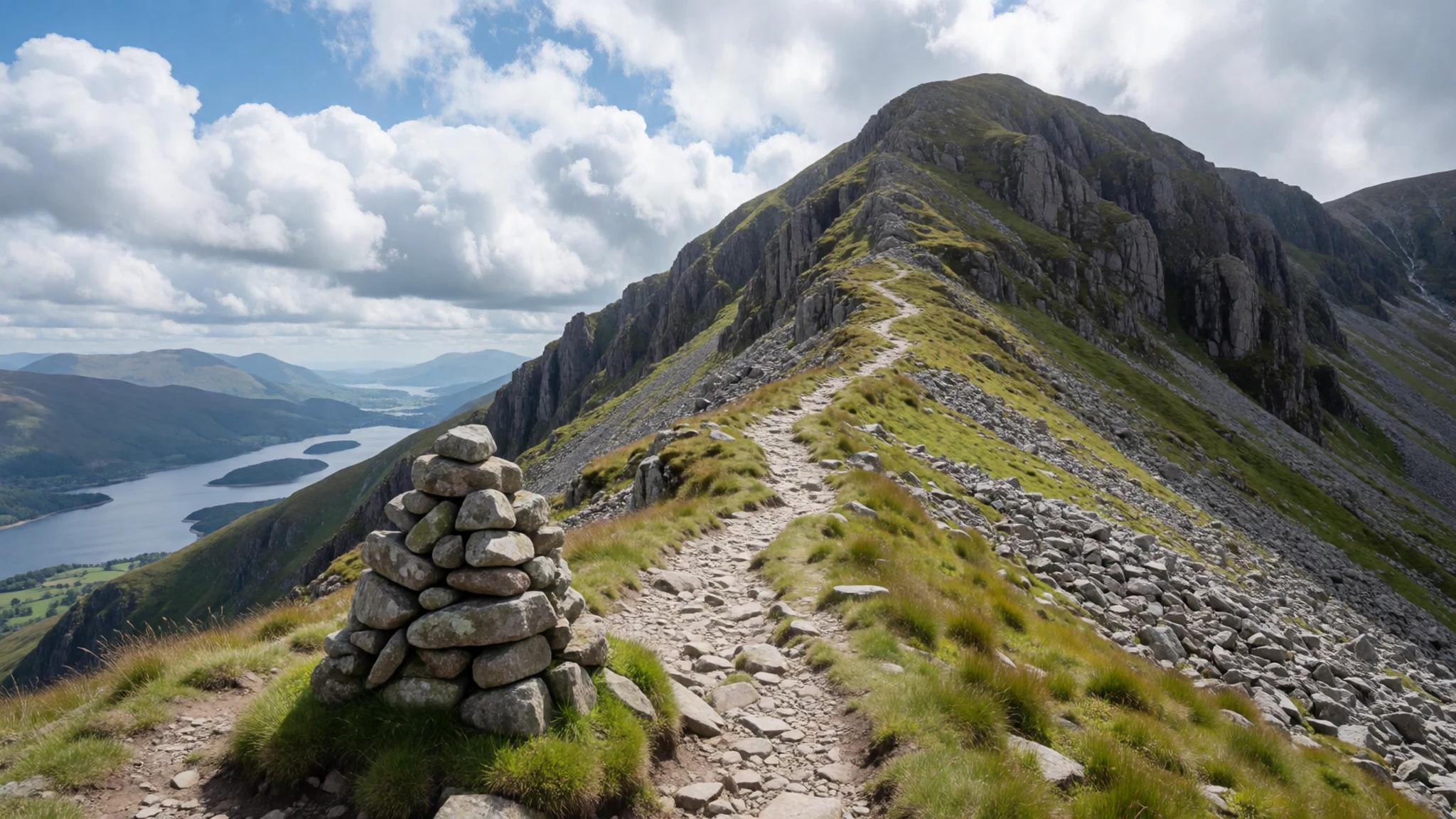
- The Cobbler — Arrochar Alps
The Cobbler rises in the Arrochar Alps inside Loch Lomond and The Trossachs National Park. Its skyline forms a hunched shape, which is why the hill carries that nickname. Paths from Arrochar are short and steep. Cold weather ices the rock, and a slip on wet scree in a hard wind is the risk that matters more than the distance from the road.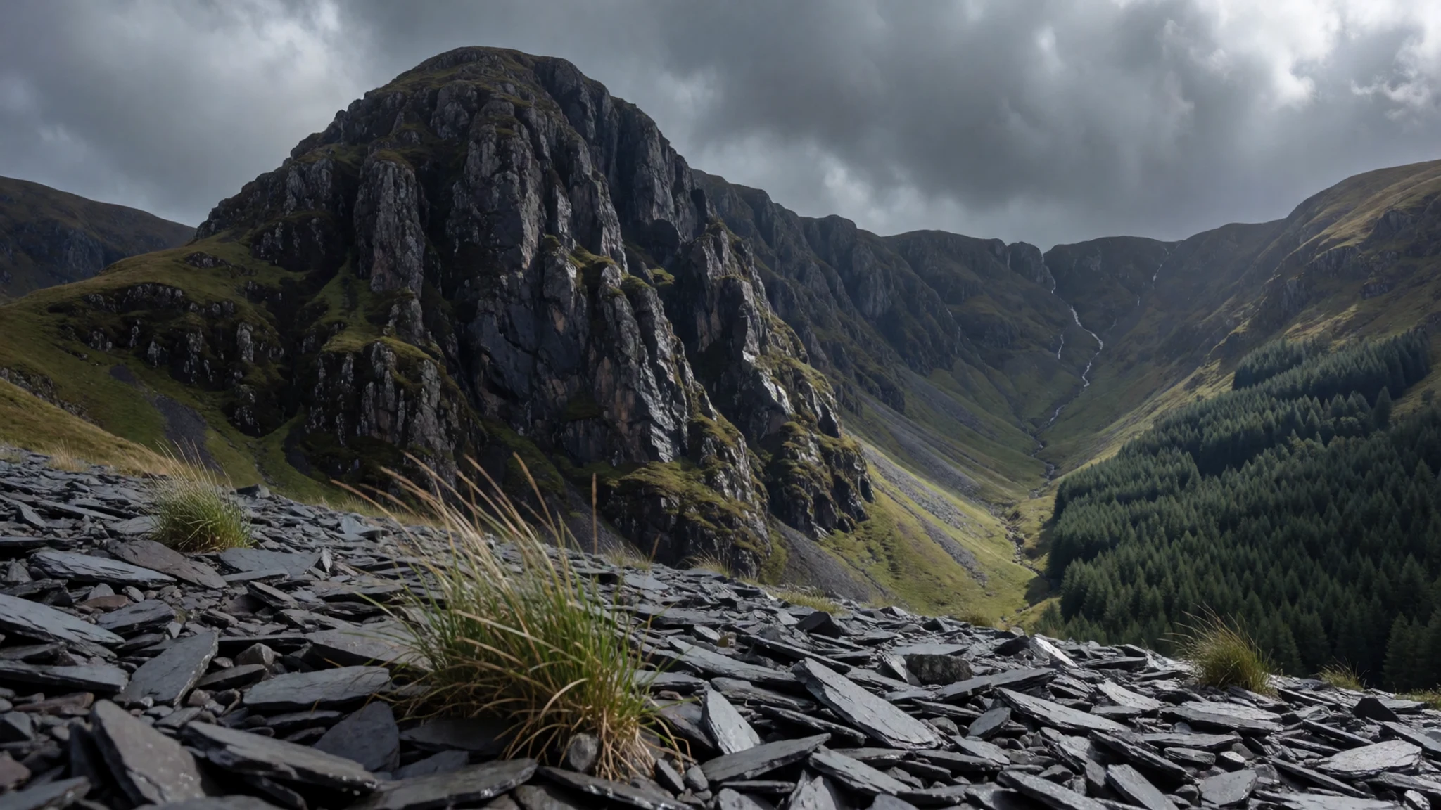
- Loch Katrine and the Trossachs — Loch Katrine, the Trossachs
The Trossachs sit inside Loch Lomond and The Trossachs National Park as wooded country around the lower end of Loch Katrine. A steamer links the pier with Stronachlachar. Walkers and cyclists take the shore lane over the head of the water and back on the northern bank; the surface is sealed, yet visitor cars are barred. The public road continues west toward Inversnaid.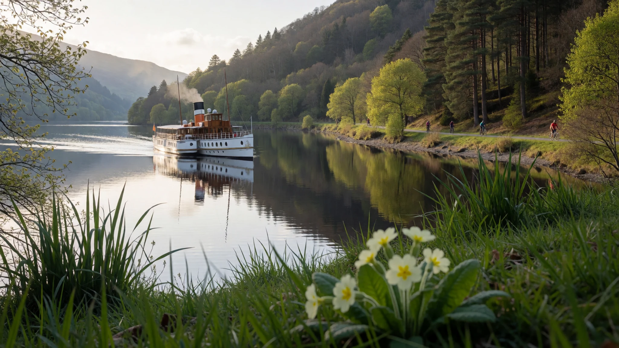
- Inchmahome Priory — Lake of Menteith
Inchmahome Priory stands in ruins on an island in the Lake of Menteith, on the eastern side of Loch Lomond and The Trossachs National Park. The crossing is by boat from the near shore. A young Mary Stuart, later Queen of Scots, was sheltered on the island while rival factions pressed her guardians. What remains is modest, and the water around it is often still.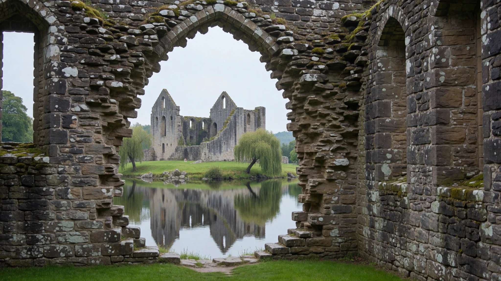
Culture
Loch Lomond and The Trossachs National Park sits on a cultural border as well as a geological one. South of the Highland Boundary Fault the speech, farms and villages feel Lowland; north of it the hills carry Gaelic names and Munro-bagging habits. The Gaelic title, Pàirc Nàiseanta Loch Laomainn is nan Tròisichean, is still the formal name beside the English. Visiting here is mostly an outdoor culture: people walk, climb, paddle and watch wildlife, and the loch has been a pleasure ground for Glasgow since long before the park existed. Johnson's 1773 dismissal of the shore as mere ruggedness reads now as a clash of taste. Pubs in the villages are the social rooms after a day out, and whisky from stills just beyond the boundary, Glengoyne near Drymen and Deanston at Doune, belongs to the same map. The pressure of day trips has its own folklore of traffic jams, litter and noisy camps, which is why the park's rules are part of local conversation. If you wild camp, stay off both banks of Loch Lomond and out of the Trossachs, and leave no trace of a fire or a meal.
What to wear
Loch Lomond and The Trossachs National Park is not a costume destination, but the cloth of the southern Highlands is still part of the picture. Tartan, woven wool with a sett tied to a district or a family, appears at weddings, Highland games and formal dinners; the kilt is the garment, usually wool, worn with a jacket for those occasions rather than for the hill. Tweed jackets and heavy wool jumpers belong to the same textile habit, made for rain and cold. Day to day, people in Balloch, Callander, Luss and the smaller glens dress like the rest of Scotland: waterproof jackets, fleece layers, jeans or walking trousers, and trainers in the village. On the ridges the uniform changes to boots, a shell jacket and a pack. A visitor should copy that, not the kilt. The latitude is unforgiving for the height of these hills, so a mild hour by the water can still mean a cold, wet wind on Ben Lomond or the Cobbler. A visitor needs a waterproof, an insulating layer, and boots that grip mud, scree and wet rock.
What to eat
- Fish and chips — Chip shops and pubs in the loch and glen villages
Fish and chips is what villages in Loch Lomond and The Trossachs National Park put in front of hikers. Luss, Balloch, Callander and Killin all have a chip shop or a pub that serves it, and it is often the option still available after a late return from the hill.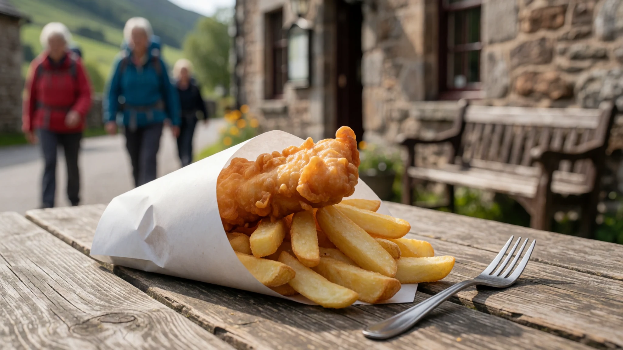
- Pizza — Village takeaways and pubs
Pizza sits beside the chip shops in Loch Lomond and The Trossachs National Park, aimed at the same tired walkers. Takeaways and a few pubs in Callander, Balloch and along the loch serve it when a long dinner is more than anyone wants after the hill.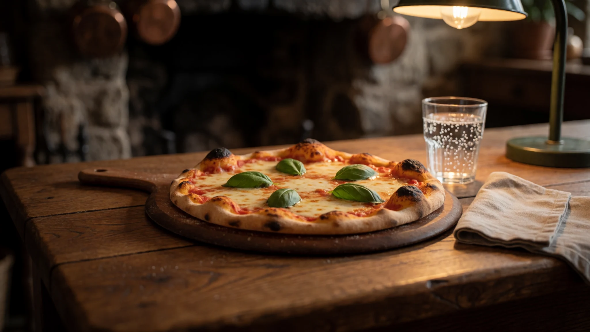
- Pub plate — Pubs in the park villages
A village pub is the reliable meal in Loch Lomond and The Trossachs National Park. Settlements along the loch and in the glens almost all have one, and it is a dependable hot meal after the hills. Soup, a pie or a simple grill is the usual plate. - Whisky — Glengoyne near Drymen, Deanston at Doune, and pubs in the villages
Whisky frames the evening around Loch Lomond and The Trossachs National Park, though the stills lie just outside the line. Glengoyne lies south of Drymen, and Deanston stands at Doune, each a working distillery that takes visitors. The large plant south of Balloch sends its spirit into blends. - Dinner on Inchmurrin — Inchmurrin, off Balloch
Inchmurrin, off Balloch, is the island in Loch Lomond and The Trossachs National Park where dinner means a boat. The restaurant is upscale, and the crew collects diners only after a table is reserved. Turn up without a booking and the boat stays put.
Plan it
Best time. September and October bring early autumn colour to Loch Lomond and The Trossachs National Park, after the first cold nights. May and June colour the gardens near Dunoon, especially the rhododendrons at Benmore. Winter is for experienced hillwalkers only: mist, ice and a wet wind on modest heights can become dangerous.
How long. 3-4
Getting there. Glasgow is the gate for Loch Lomond and The Trossachs National Park. Queen Street's low-level trains reach Balloch via Dumbarton about twice an hour, in under an hour. The West Highland Line leaves the high-level station and calls at Tarbet and Arrochar, then Ardlui and Crianlarich, a few times a day. London's Caledonian sleeper joins that route near Dumbarton, without passing through Glasgow, and goes on to Crianlarich and Fort William. Citylink coaches from Buchanan bus station follow the A82 along the west shore through Luss to Tarbet. Glasgow Central trains run to Gourock for the ferry to Dunoon, and past Dunoon a bike or a car is the only practical way on.
Budget. mid
Tips
- Read the mountain weather forecast before any hill, ridge or loch day; the water roughens quickly and mist hides paths.
- Scotland generally allows a night under canvas, but wild camping is banned on both shores of Loch Lomond and throughout the Trossachs after years of litter and noise.
- Treat the A82 and the glen roads as the main hazard: winding stretches, few places to pass, and traffic stopped in the carriageway catch tired drivers.
- Do not rely on a mobile signal in the glens. Leave a route with someone and know how you would reach the police in a crisis.
- Reserve the Inchmurrin boat before you travel, and use the park site for seasonal ferry and path news instead of trusting a noticeboard.
Etiquette
- Carry all litter out; the camping bans exist because shores were left dirty and noisy.
- On Inchcailloch and at Inchmahome, keep to the paths and leave ruins and nesting wildlife alone.
- Drive patiently and give way when you can; impatient overtakes on these roads cause crashes.
- Ask before you photograph people outside pubs or in village streets.
Nearby
Sources
- Wikidata Q116661 (CC0)
- Wikipedia (rev 1371492452) (CC BY-SA 4.0)
- Wikivoyage (rev 5315063) (CC BY-SA 4.0)
- Photo photos/01-argyll-forest-park-008.jpg (CC BY 3.0)
- Photo photos/02-loch-lomond-and-the-trossachs-national-park-uk-relief-locati.png (CC BY 3.0)
- Photo photos/03-loch-lomond-from-the-slopes-of-ben-lomond.jpg (CC BY-SA 4.0)
- Photo photos/04-the-cobbler-february-2019.jpg (CC BY-SA 4.0)
- Photo photos/05-loch-lomond-visitor-centre-scotland-12295657126-o.jpg (CC BY 3.0)
- Photo photos/06-ben-more-from-stob-binnein-17223032816.jpg (CC BY-SA 2.0)
- Photo photos/07-15-loch-lomond-i-els-trossachs-des-de-l-embarcador-de-luss.jpg (CC BY-SA 4.0)
- Photo photos/08-a-balanced-boulder-geograph-org-uk-1744024.jpg (CC BY-SA 2.0)


