Lake Waikaremoana
Lake Waikaremoana, New Zealand
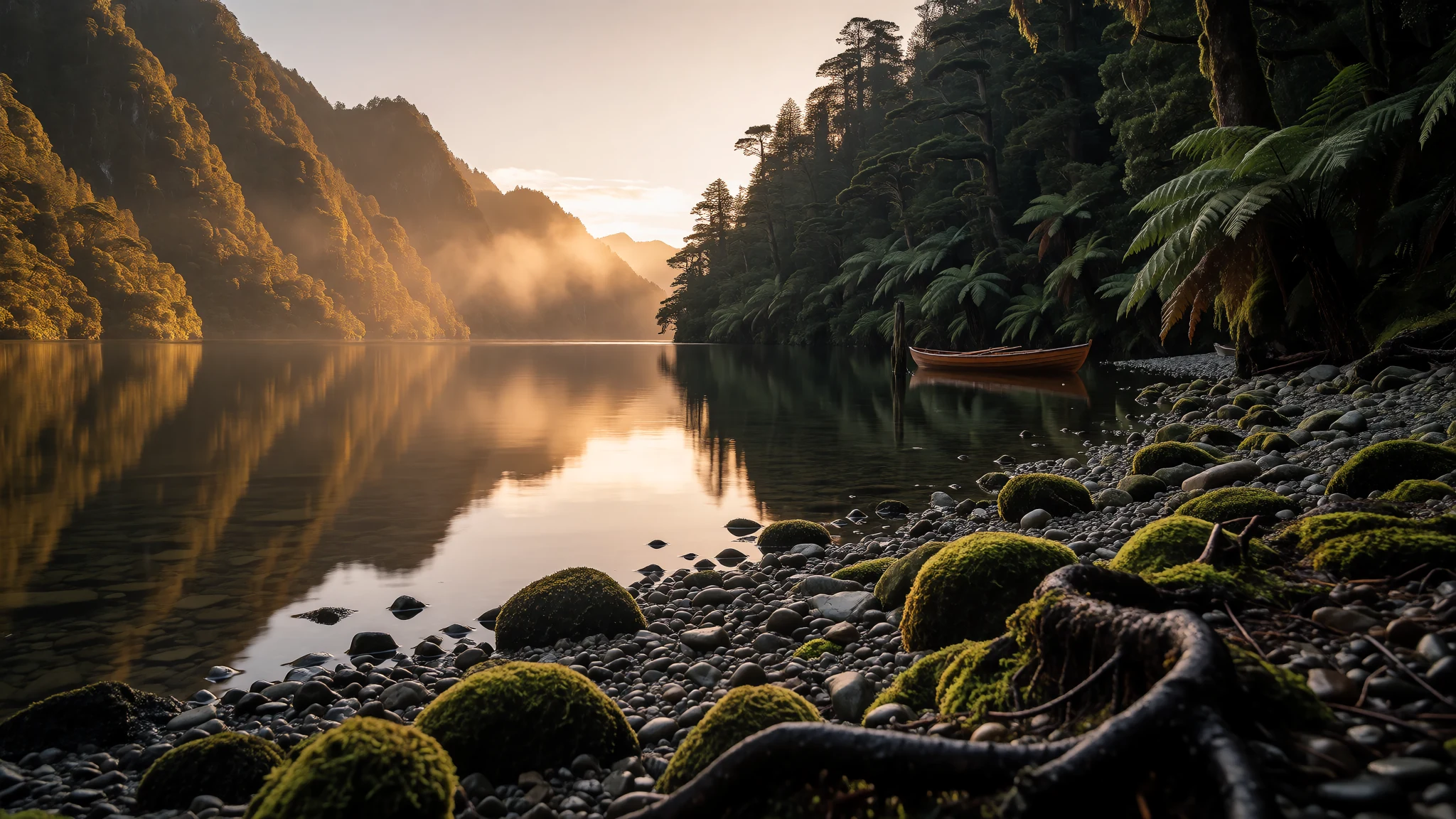
Journey to Lake Waikaremoana for pristine forested shores, quiet hiking trails and waters untouched by heavy tourist crowds.
The place
Lake Waikaremoana sits tucked inside the forested terrain of Te Urewera on the North Island of New Zealand. From the water's edge, thick stands of beech and podocarp trees climb steep slopes that rise sharply toward misty ridges. The atmosphere is quiet and remote, shaped by the surrounding wilderness and the vast expanse of the lake itself. Visitors arriving at the shores find a landscape where human structures remain sparse, leaving the natural contours of the hills and shoreline largely uninterrupted.
The climate around the lake is temperate during the warmer months and noticeably cool when winter arrives, with occasional snowfalls dusting the higher elevations. Because the approach requires driving along an extensive unsealed road network, visitor numbers stay relatively low compared to other prominent wilderness tracks across the country. The hamlet of Aniwaniwa sits quietly by the water, offering a Department of Conservation base from which hikers set out into the bush. Nearby, smaller bodies of water like Lake Waikareiti hide within the dense forest canopy, reached only by walking trails that wind through ancient ferns and hanging mosses.
Its story
The history of Lake Waikaremoana is deeply intertwined with the tribal groups who have called these forested valleys home for generations. The waters lie securely within the traditional boundaries of Ngāi Tūhoe, Ngāti Ruapani and Ngāti Kahungunu ki Te Wairoa. For these communities, the lake and its surrounding wilderness carry profound cultural significance, holding ancestral connections, stories and stewardship responsibilities passed down through time.
In the nineteenth century, British settlement reached the wider Hawke's Bay region, establishing colonial provinces and shifting administrative borders across the eastern coast. Later, the landscape saw modern engineering alter parts of the outflow when the Waikaremoana hydroelectric power scheme was developed near Onepoto on the southern shores. Despite these changes and the arrival of modern recreation, the core identity of the region remains rooted in its indigenous heritage and the challenging, isolated geography of Te Urewera. Today, visitors walk paths that traverse ancestral lands, experiencing a landscape protected by both statutory conservation management and enduring tribal guardianship.
What to see
- Panekiri Bluff — Southern lakeshore
Panekiri Bluff towers dramatically above the southern edge of Lake Waikaremoana, providing sheer limestone drops and sweeping panoramic views across the water and distant forested ranges. Walking up to the summit rewards travellers with vistas of the entire basin.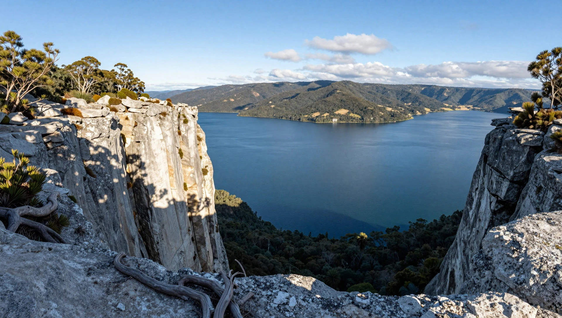
- Āniwaniwa Falls — Aniwaniwa hamlet
Āniwaniwa Falls are picturesque cascades tucked into the dense rainforest near the lakeside hamlet of Aniwaniwa. A short, gentle walking trail leads visitors through lush ferns and native bush right to the edge of the tumbling water.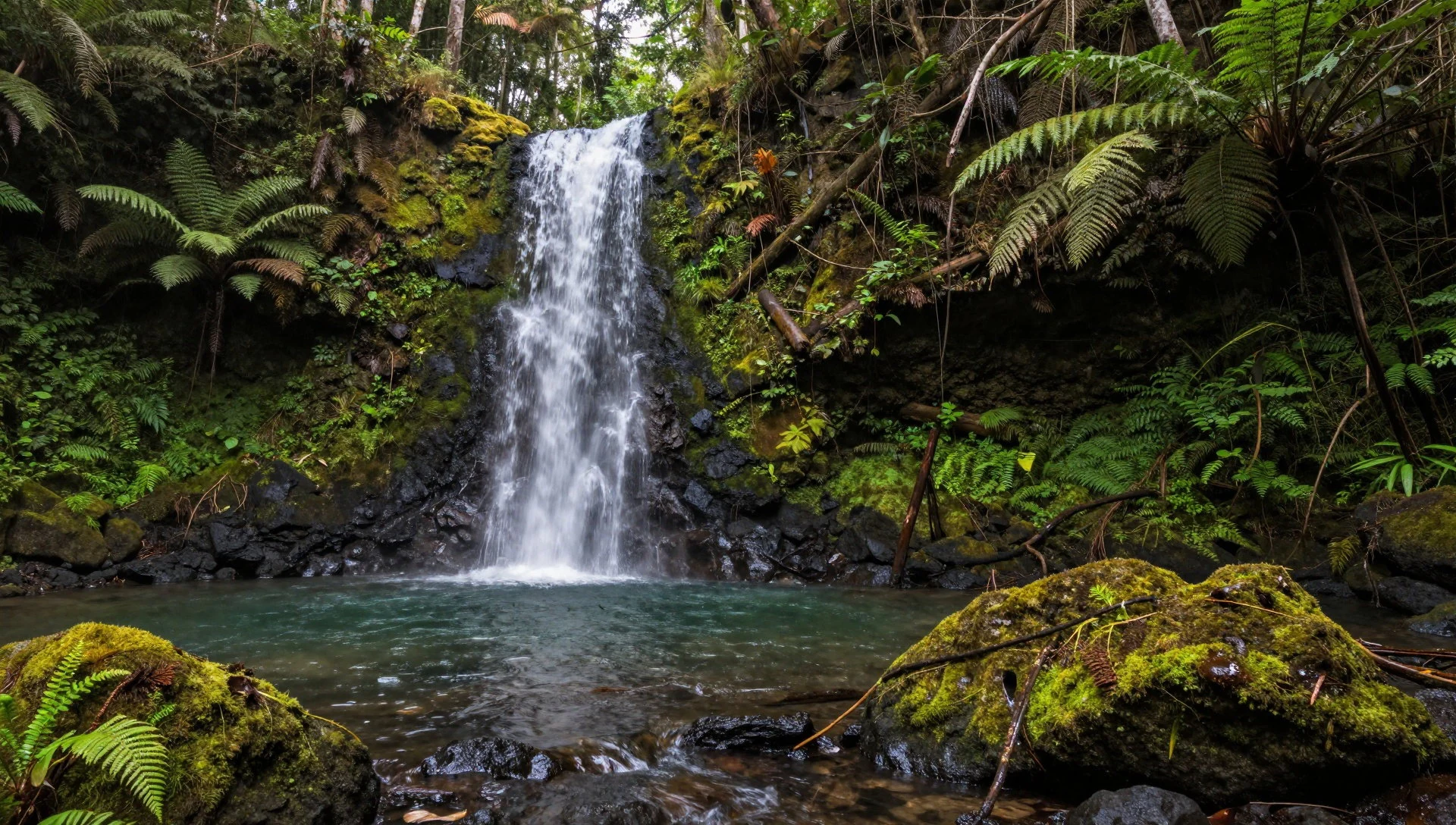
- Lake Waikareiti — Northeast of Waikaremoana
Lake Waikareiti rests quietly four kilometres to the northeast of its larger neighbour, hidden away beneath a thick canopy of undisturbed beech forest. A rewarding walking track leads travellers through quiet woodland to its secluded shore.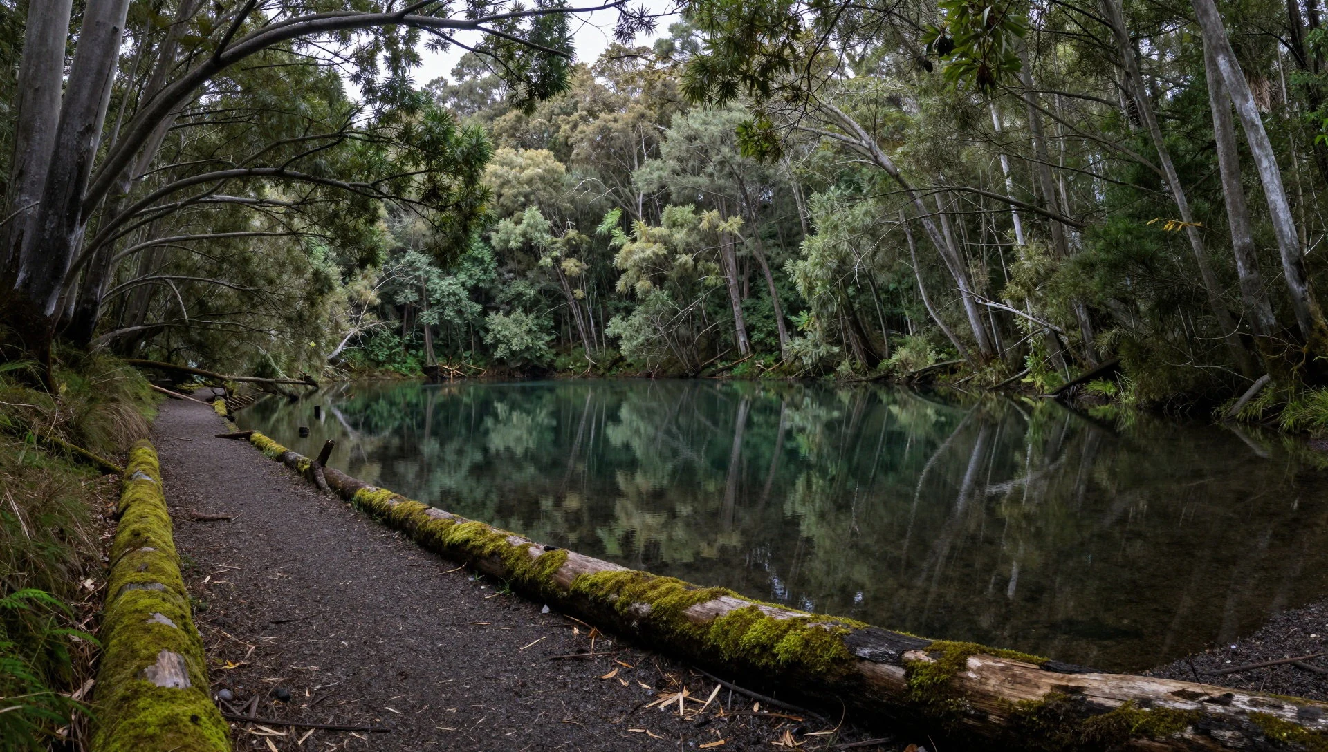
- Te Urewera Rainforest — Te Urewera region
Te Urewera Rainforest envelops Lake Waikaremoana in a dense cloak of ancient trees, hanging mosses and abundant ferns. Exploring the network of walking trails immerses visitors in an emerald wilderness that feels entirely removed from modern urban life.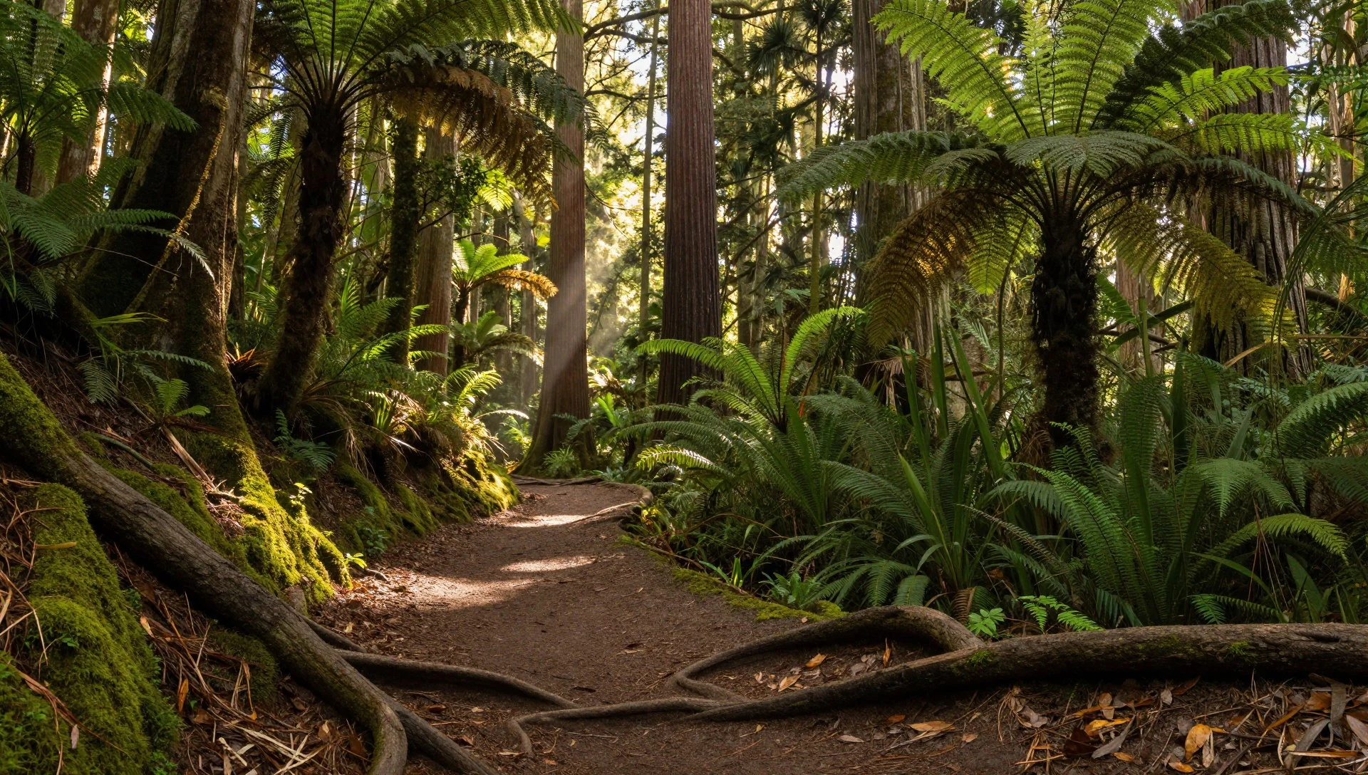
Culture
Lake Waikaremoana and the wider Te Urewera territory are held in deep reverence by local Māori iwi, particularly Ngāi Tūhoe, who view the land and water as an integrated living entity rather than mere property. Traditional practices centre on kaitiakitanga, which is the principle of guardianship and sustainable management of natural resources. Visitors are encouraged to understand that every forest path, stream and shoreline carries ancestral history and spiritual resonance for the people who belong to this soil. When exploring the region, respect for tapu (sacred) sites and adherence to conservation rules reflect an appreciation of this indigenous heritage. Always respect local tribal guidelines and leave natural and cultural heritage undisturbed.
What to wear
At Lake Waikaremoana, traditional Māori garments woven from native flax fibres were historically crafted for warmth and status during colder months, though modern daily dress across New Zealand has adopted standard Western casual wear. Because Lake Waikaremoana experiences shifting weather patterns, practical outdoor clothing is essential for anyone visiting the area. Visitors should pack durable waterproof jackets, moisture-wicking thermal layers, sturdy hiking boots with good grip for unpaved tracks, and warm woollen hats or gloves. Weather can turn quickly from bright sunshine to cool rain, making layering the most effective approach for comfort while exploring the rugged terrain.
What to eat
- New Zealand meat pies — Local holiday park shops and rural roadside stops
Warm, savoury pastry pies filled with minced beef, steak and cheese, or peppered lamb are a staple comfort food found in rural bakeries and holiday parks across the North Island.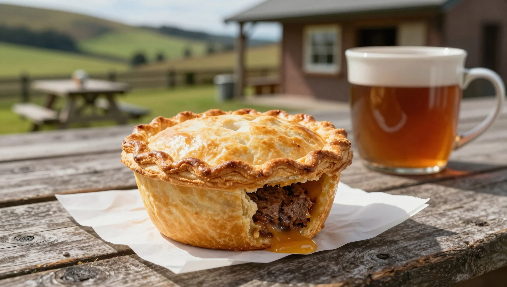
- Freshly caught trout — Lakeside holiday park kitchens and local lodges
Lake Waikaremoana is well known for sports fishing, and local streams and waters yield brown and rainbow trout prepared simply by regional lodges and camping cooks.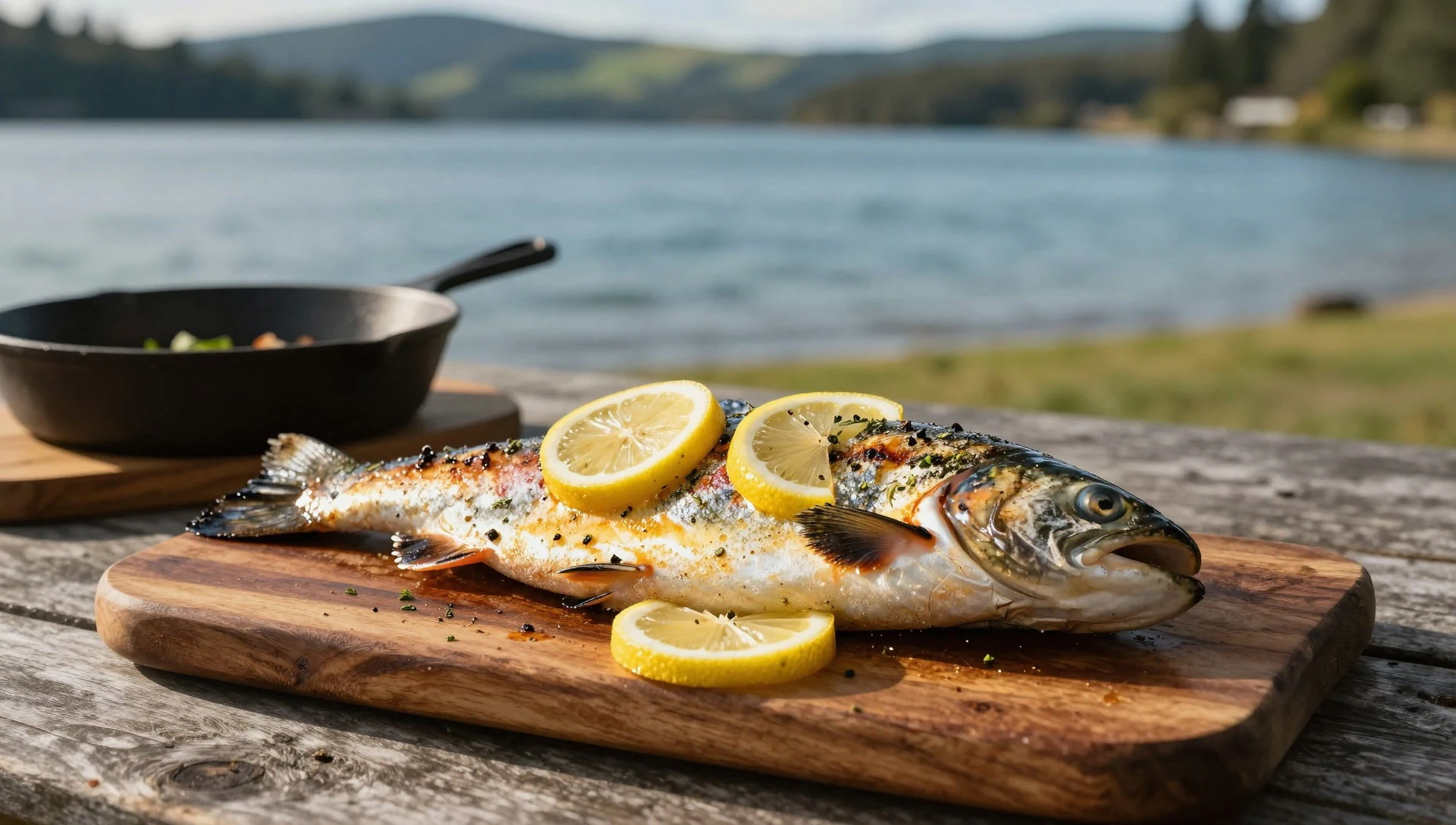
- Hāngī-style meals — Specialist cultural events and marae gatherings
Traditional earth-oven cooking methods infuse meats and root vegetables with a rich, smoky depth, celebrated during cultural gatherings and community feasts across the region. - Manuka honey — Regional roadside stalls and village shops
Harvested from the nectar of native scrub bushes flowering throughout the surrounding hills, this distinctively rich honey is sold in local stores and rural markets. - Colonial goose — Traditional country pubs and provincial restaurants
A traditional New Zealand dish of stuffed mutton shoulder prepared to mimic a roasted goose, served hearty and warm in rustic country eateries.
Plan it
Best time. December through March offers the most reliable temperate weather for hiking and exploring the lake, while winter brings cooler temperatures and occasional snow on higher ground.
How long. 3–4
Getting there. Access is primarily by car via State Highway 38, which features unsealed sections requiring careful driving; the nearest major domestic airports are in Gisborne and Napier.
Budget. mid
Tips
- Book Department of Conservation huts well in advance if planning to walk the multi-day track
- Drive slowly on unsealed highway sections and watch for changing weather conditions
- Carry sufficient cash as card facilities are limited in remote settlements
- Pack adequate waterproof gear regardless of the season
Etiquette
- Respect local tribal guardianship and guidelines across Te Urewera
- Observe all conservation rules regarding camping and fires
Nearby
Sources
- Wikidata Q4272 (CC0)
- Wikipedia (CC BY-SA 4.0)
- Wikivoyage (CC BY-SA 4.0)