Lake Tanganyika
Lake Tanganyika, Tanzania
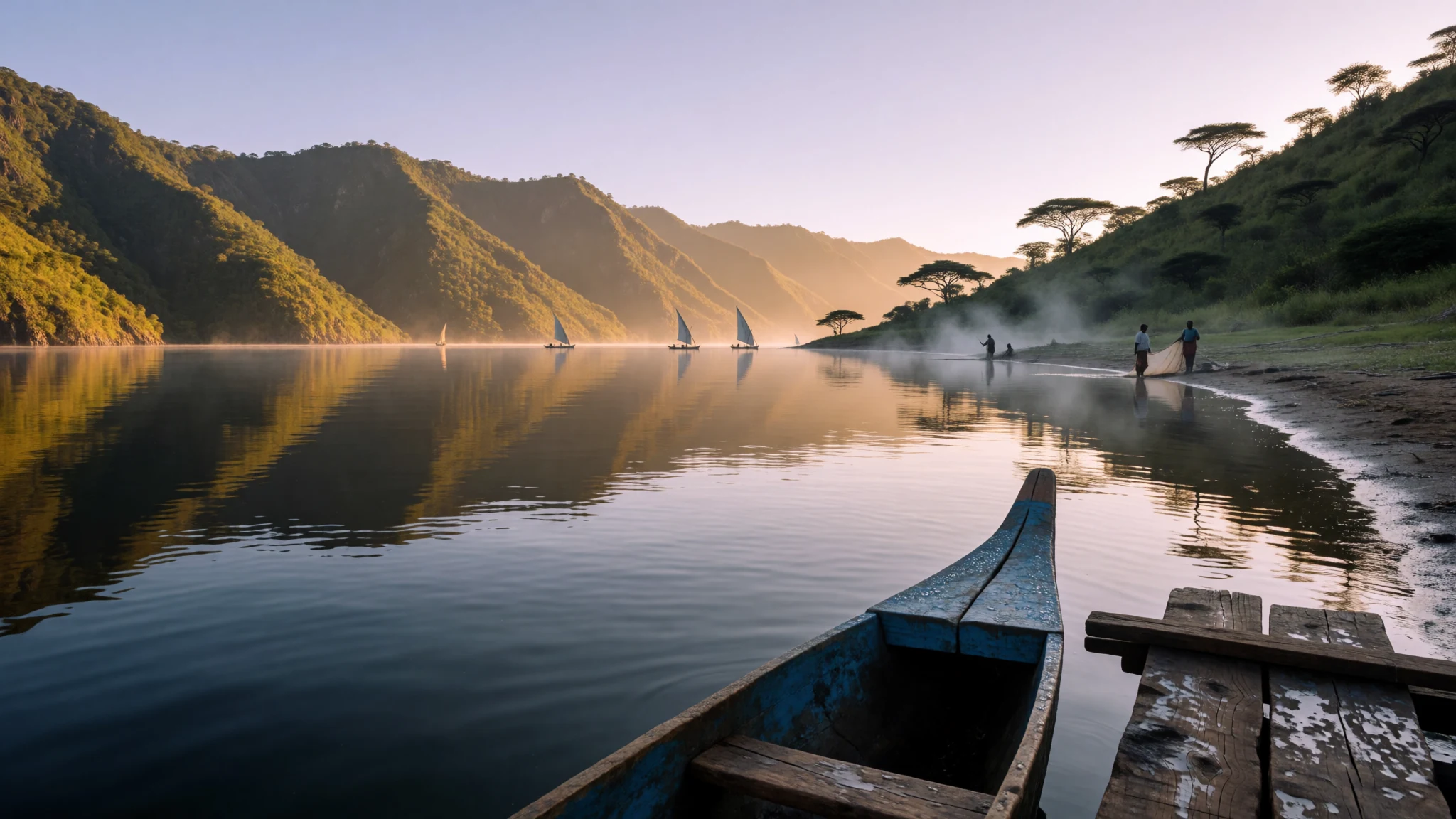
Lake Tanganyika offers immense rift valley views, clear tropical waters and unique cichlid diving shared across four nations.
The place
Lake Tanganyika fills a colossal fracture in the earth's crust, cradled between the steep escarpments of the Albertine Rift. Shared among four distinct nations—Tanzania and the Democratic Republic of the Congo hold the vast majority of the shoreline, while Burundi and Zambia share the northern and southern tips—this immense body of water dominates the regional geography. The basin is defined by towering mountain walls that plunge directly into deep, clear water. Rainfall and evaporation govern the water levels far more than inflowing tributaries, with the immense Ruzizi River feeding the north and the Lukuga River serving as the solitary drainage outlet toward the Congo River system and eventually the Atlantic Ocean. The climate here is humid and tropical, tempered somewhat by altitude and local breezes off the water. Visitors navigating the shoreline encounter dramatic lighting at dawn and dusk, when the sheer rift walls catch the light above glassy, immense horizons. Movement along the edges relies on local boats, winding coastal tracks, and modest settlements that cling to the steep terrain where the mountains meet the shore. The sheer scale of the landscape dwarfs human presence, presenting an ancient, unbroken horizon of water and rock that has sustained communities and ecosystems for countless generations.
Its story
Human interaction with these shores stretches deep into prehistory, with early hunter-gatherers leaving their mark during the Stone Age. Centuries later, in the mid–nineteenth century, Swahili Arab traders forging caravan routes from the coast established key trading posts along the eastern shore, bringing sailing dhows onto the water to trade in ivory and textiles. European exploration followed when British explorers Richard Burton and John Speke reached the lake while searching for the Nile's source. David Livingstone subsequently spent years exploring the shores, famously meeting Henry Morton Stanley in Ujiji on the eastern coast. By the late nineteenth century, European colonial powers claimed the surrounding territories, dismantling older trade networks and reshaping local administration. During the First World War, the lake became an unexpected naval battleground. The German armed steamer Graf Goetzen dominated the waters until British forces achieved the logistical feat of hauling armed motor boats overland and by rail from England to launch a surprise counter-offensive at Kalemie on the western shore. This turbulent colonial chapter left a legacy of administrative boundaries and maritime stories that still echo through the fishing villages and coastal ports dotted along the rift.
What to see
- Kigoma Port and Waterfront — Kigoma District, Tanzania
The main Tanzanian hub on the eastern shore, where historic trading routes meet modern lake transport. Wander down to the lively docks to watch wooden fishing boats unload their catch or charter a small vessel for coastal excursions.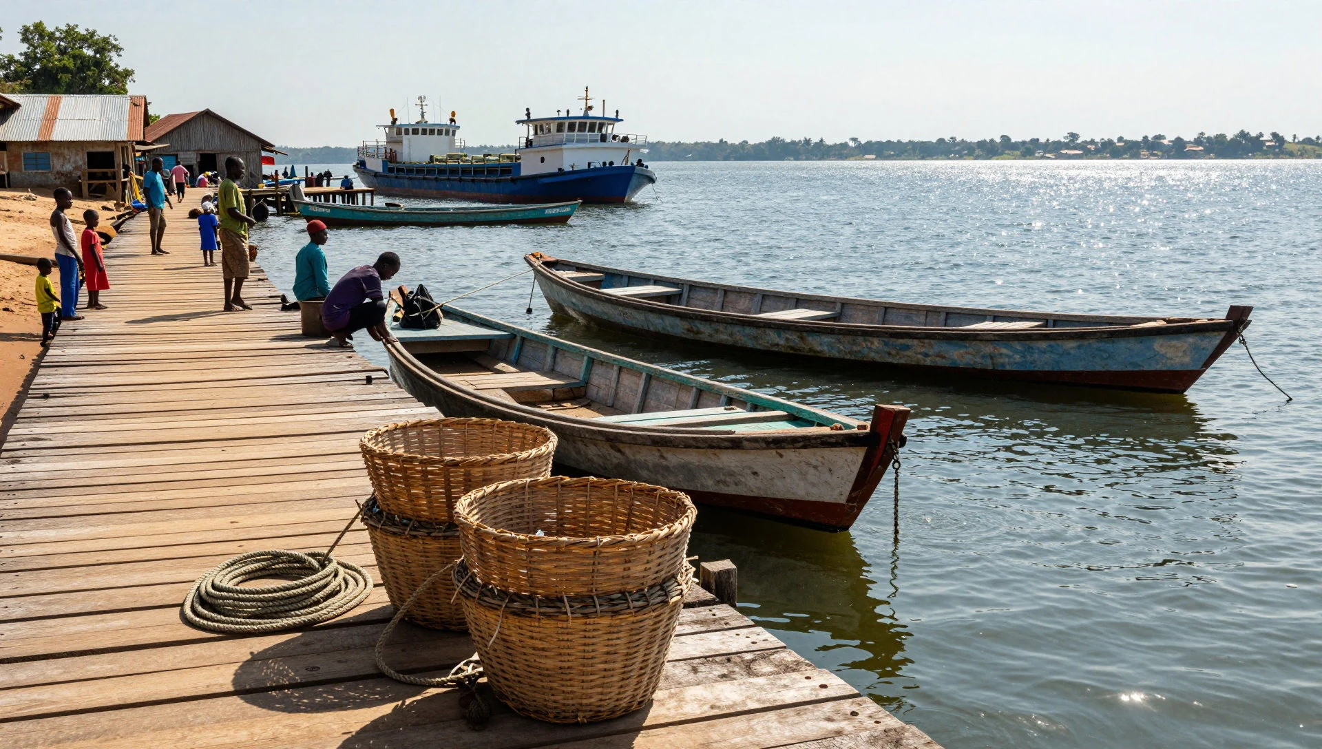
- Kagongo Ward Shrines and Slopes — Kigoma Region, Tanzania
A dramatic stretch of shoreline where the steep green hills of the rift escarpment drop sharply into clear water. The area offers panoramic vantage points over the lake and quiet fishing hamlets tucked into the folds of the hills.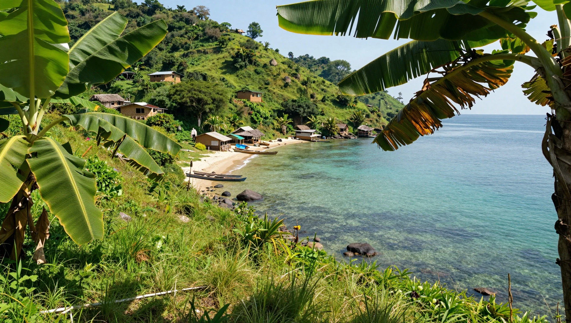
- Kalemie Western Shore — Katanga Region, DR Congo
Situated on the Congolese side, this historic lakeside town marks the arrival point of the remarkable naval efforts during the First World War. It remains a focal point for regional lake traffic and dramatic cliff views.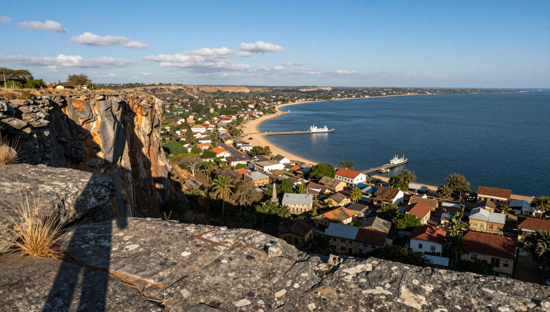
- Ujiji Historical Site — Near Kigoma, Tanzania
The ancient staging post where inland caravan routes met the water. This is the storied spot of the historic encounter between explorers David Livingstone and Henry Morton Stanley, preserved in local memory and heritage markers.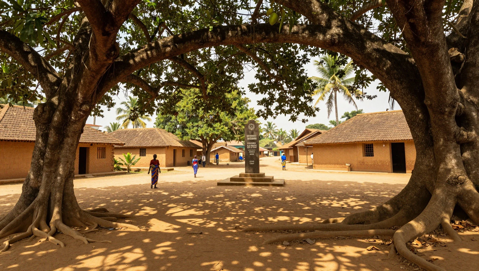
Culture
Life along the shores of Lake Tanganyika is deeply tied to the rhythms of fishing, small-scale farming, and cross-border trade that has linked Swahili, Bemba, and various local ethnic groups for generations. Swahili serves as the primary lingua franca along the Tanzanian and Congolese waterfronts, while regional languages such as Kirundi and Bemba echo through local communities. Music, storytelling, and communal gatherings centre around village squares and lakeside markets, where daily catches are processed and traded under the shade of mango trees. Respect for local elders and traditional authorities remains a cornerstone of daily interactions across all four riparian countries. Visitors should always ask permission before taking photographs of people, local boats, or private homesteads.
What to wear
Traditional attire across the lakeside region features vibrant, colourful kanga and kitenge fabrics—printed cotton cloths worn wrapped around the waist or draped as shawls and headwraps by women. These textiles frequently carry Swahili proverbs and cultural motifs passed down through families. For everyday wear, local residents favour practical, lightweight clothing suited to the warm, humid climate, with men often wearing lightweight shirts and trousers. Visitors should dress modestly, keeping shoulders and knees covered when entering towns, villages, or religious sites. Sturdy, breathable footwear is essential for navigating rocky shorelines, dusty tracks, and steep mountain paths.
What to eat
- Fresh Lake Sardines (Dagaa) — Any lakeside fish market or waterfront stall
Tiny, silvery fish scooped from the water by nocturnal lamps and sun-dried along the sandy shores. They are a staple source of protein, usually fried crisp with tomatoes and onions, found in every local market.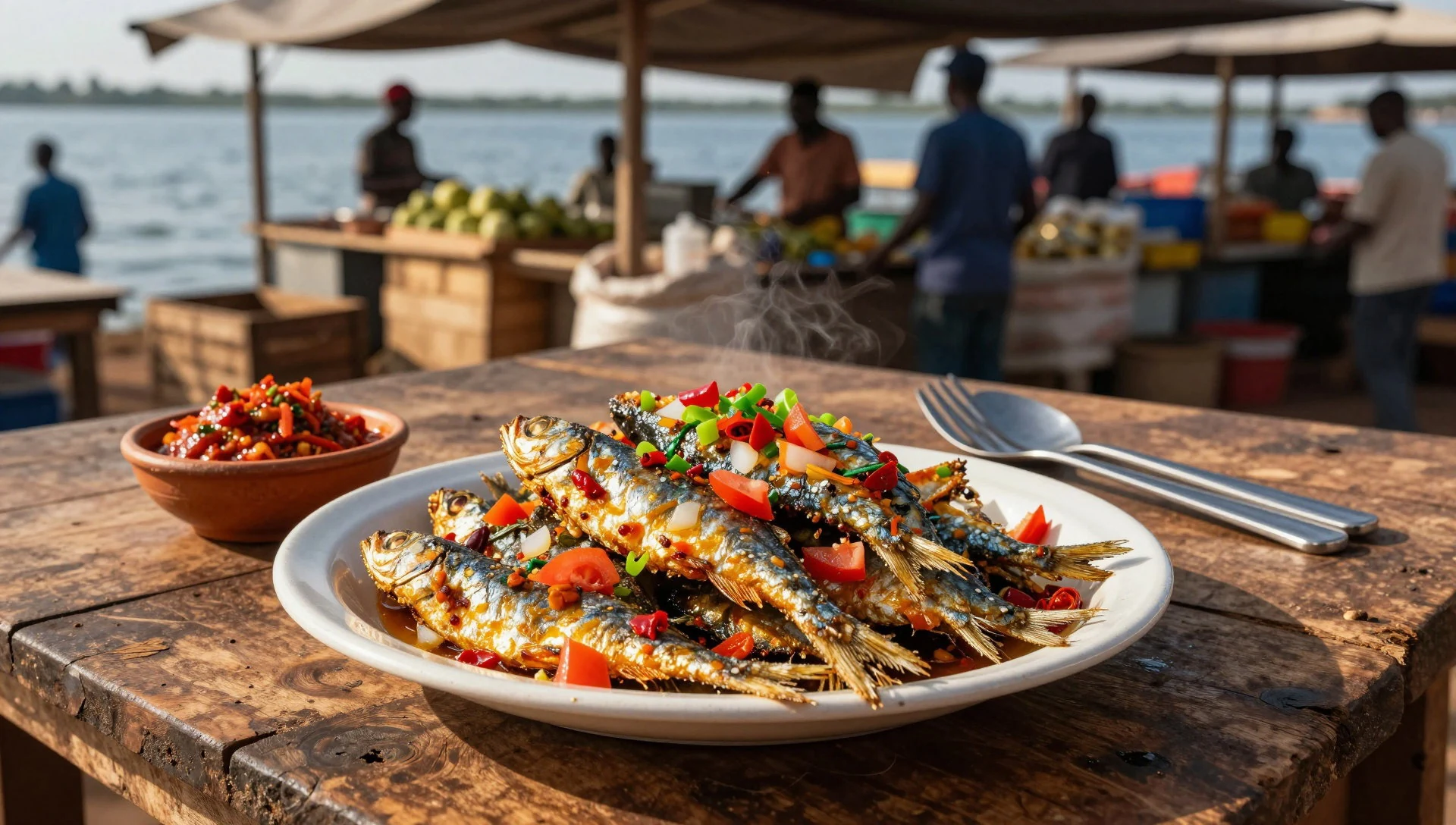
- Grilled Nile Perch or Tanganyika Cichlid — Kigoma harbour eateries and beachside grills
Large predatory fish caught fresh from the deep waters, seasoned simply with salt, chilli, and local herbs before being grilled over open charcoal embers. Look for them at evening food stalls near the piers.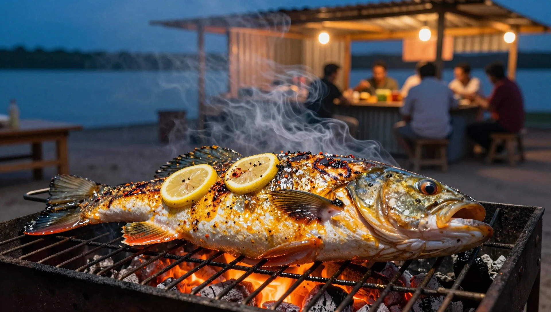
- Ugali with Cassava Leaves (Matembele) — Local roadside diners and village restaurants
A thick, comforting maize or cassava porridge served alongside finely pounded and simmered cassava leaves cooked in palm oil and groundnut paste. It is the quintessential comfort meal of the region. - Fresh Mangoes and Tropical Fruit — Open-air markets and roadside stalls
Depending on the season, sweet mangoes, pineapples, and papayas harvested from the fertile valley slopes provide a refreshing, juicy finish to any meal. Sold by roadside vendors across the district.
Plan it
Best time. May to September during the drier, cooler months when humidity drops and travel along coastal tracks is most reliable.
How long. 3–4
Getting there. Fly into Dar es Salaam, then take either a domestic flight or the historic railway connection to Kigoma on the eastern shore.
Budget. mid
Tips
- Check up-to-date security advisories before planning travel to border regions or the western Congolese shore
- Carry sufficient cash, as automated teller machines are scarce outside major regional towns
- Drink only bottled or adequately treated water throughout your stay
- Pack lightweight, breathable cotton clothing and strong insect repellent
Etiquette
- Always greet people politely in Swahili before asking for assistance or directions
- Remove hats and dress modestly when entering places of worship or traditional community spaces
Nearby
Sources
- Wikidata Q5511 (CC0)
- Wikipedia (rev 1381827849) (CC BY-SA 4.0)
- Wikivoyage (rev 4952722) (CC BY-SA 4.0)
- Photo 01-lake-tanganyika.jpg (CC BY 3.0)
- Photo 03-view-of-kagongo-ward.jpg (CC BY-SA 4.0)

