Jabal Shams
Jabal Shams, Oman
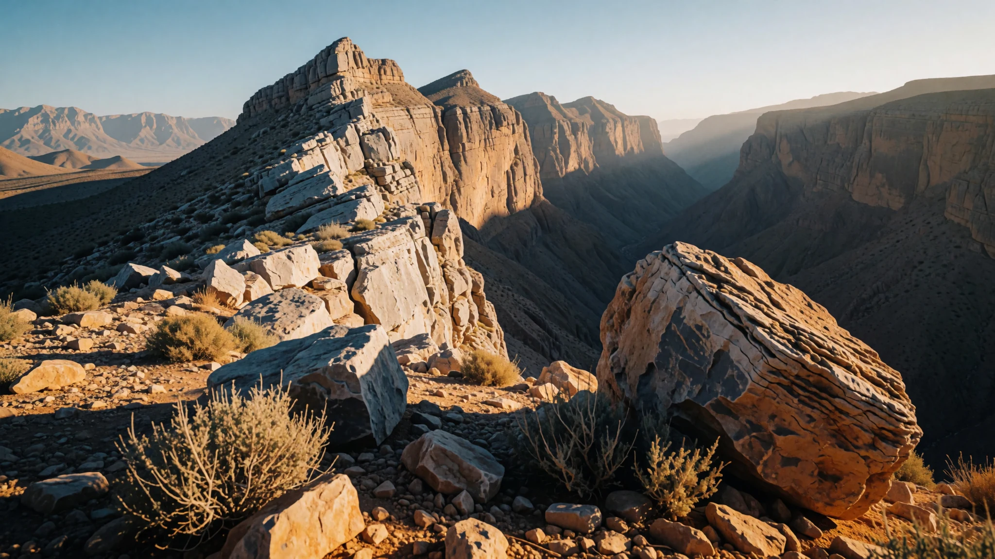
Climb Oman's highest peak to gaze down into the colossal limestone abyss of Al Nakhur Canyon.
The place
Jabal Shams rises sharply in northeastern Oman, north of the town of Al-Hamra. As the highest mountain in the country, it forms part of the Jebel Akhdar massifs within the broader Hajar range. Reaching an elevation of 3,018 metres at its highest point, the mountain acts as a massive natural watchtower over the arid plateau and deep valleys below. Because of its great height, it is traditionally known as the Mountain of Sun, earning that name because its lofty crest catches the very first light of dawn in Oman.
The terrain is stark, dry, and dramatic, carved by immense geological forces over millennia. Visitors journey up winding mountain roads from Muscat, located 240 km away, transitioning from coastal heat to crisp upland air. The upper reaches feature sparse scrub, rocky tracks, and wide open skies that shift from brilliant blue by day to glittering starfields at night. Weather on Jabal Shams varies sharply with the seasons. Summer brings daytime temperatures around 20 °C, offering a cool escape from the baking lowlands, while winter temperatures can plummet below freezing, occasionally dusting the highest ridges with frost. The mountain supports small local communities and nomadic herders who manage hardy goats across the steep slopes, maintaining a quiet, traditional rhythm far removed from the bustling cities of the coast.
Its story
The story of Jabal Shams is written in stone, shaped by centuries of isolation and the resilient lives of the people who call the Al Hajar range home. For generations, pastoral families navigated the sheer cliffs and narrow terraces of the mountain, relying on indigenous knowledge of water springs and seasonal grazing. These highlands remained largely untouched by modern infrastructure until relatively recently, accessible only by arduous footpaths and ancient donkey trails linking mountain hamlets to the lower wadis.
The strategic importance of the landscape eventually brought new paths and a restricted military presence to the North Summit, which sits at an elevation of 3,009 metres. Meanwhile, the public pathways, including the W4 Trail leading to the 2,997-metre South Summit, opened these remote heights to travellers seeking the raw expanse of the interior. The local inhabitants adapted to visitors by sharing their deep heritage, preserving mud-brick settlements, and explaining the delicate balance of terrace farming in an arid climate.
Today, Jabal Shams bridges ancient Omani mountain life and modern exploration. The ancient pathways carved by goat herders now serve as celebrated trekking routes, allowing modern hikers to trace the footsteps of past generations. As tourism slowly grows around the plateau, the community maintains a delicate balance between welcoming curious travellers and preserving the rugged, solitary spirit that has defined the mountain for centuries.
What to see
- Al Nakhur Canyon — North-eastern flank
Often called the Grand Canyon of Arabia, this staggering limestone gorge plunges dramatically from the upper flanks of Jabal Shams. The sheer rock walls drop thousands of feet into the valley floor below, offering profound vistas of exposed strata and deep, silent shadows.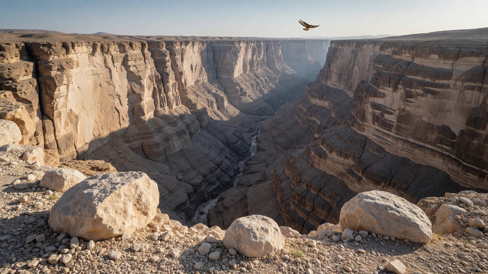
- The Balcony Walk — Al Nakhur rim
This famous cliffside trekking route follows an old goat track suspended midway down the canyon wall. Walkers tread a narrow ledge carved into the rock face, passing an abandoned stone hamlet perched precariously over the abyss.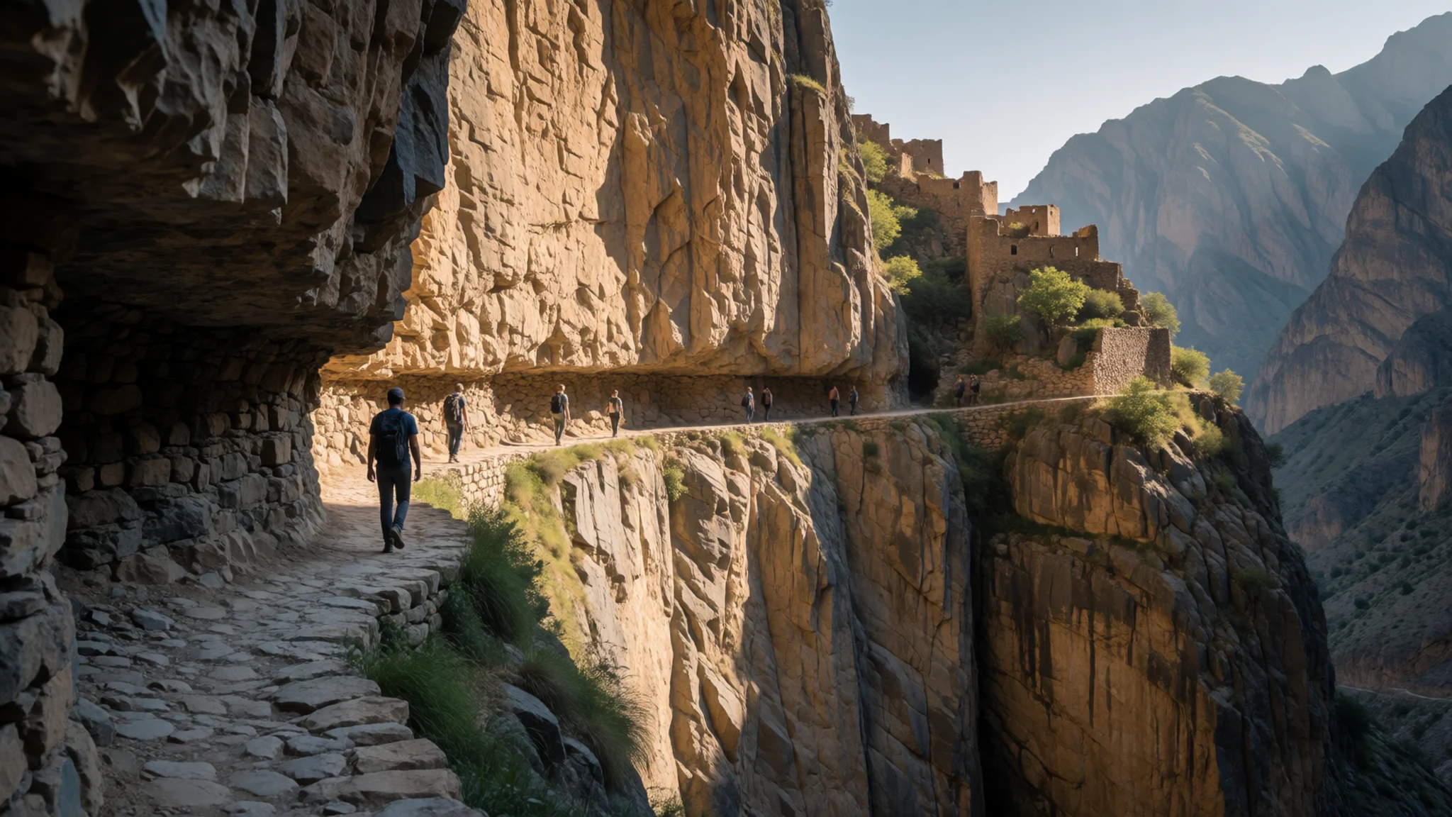
- The South Summit — Southern ridge
Reaching an elevation of 2,997 metres, the publicly accessible southern peak rewards hikers with sweeping panoramas across the Hajar range. Marked by the Ministry of Tourism along the W4 Trail, it stands as a rugged goal for endurance trekkers.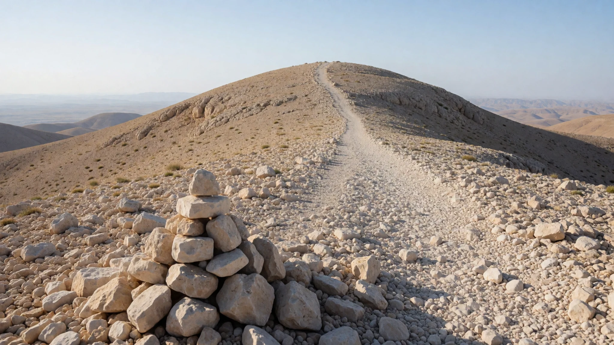
- Wadi Ghul — Canyon floor base
Nestled at the foot of the massive canyon, this traditional village sits amidst date palms and dry riverbeds. The settlement provides a stark contrast of green agriculture against the towering grey ramparts of the surrounding peaks.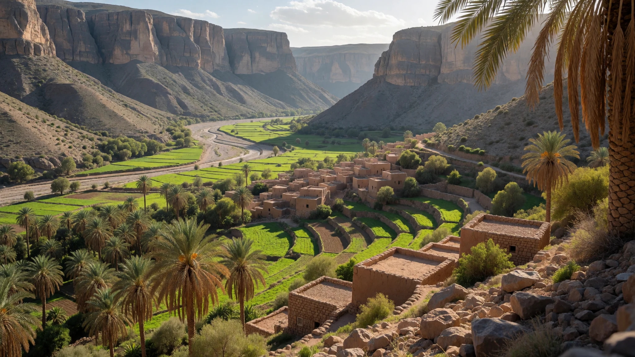
Culture
Life around Jabal Shams is rooted in Omani mountain traditions, where hospitality and community ties remain paramount. Local families often maintain traditional homes in nearby settlements, balancing ancient farming and livestock rearing with modern livelihoods. Visitors encounter a culture deeply respectful of Islamic customs and tribal heritage, where guests are routinely greeted with welcoming gestures such as dates and Qahwa, the cardamom-scented Omani coffee. Traditional dress remains a daily standard for local men, who wear the dishdasha paired with the traditional kumamma cap or the wrapped massar turban, while women wear modest garments and head coverings. The mountain environment demands a practical, self-reliant attitude, with rural communities preserving centuries-old water management systems like the falaj channels that distribute precious mountain runoff to terraced gardens. When visiting rural settlements or interacting with residents on Jabal Shams, always ask permission before photographing local people.
What to wear
At Jabal Shams, traditional Omani attire meets the practical demands of high-altitude desert terrain. Local men traditionally wear the ankle-length, collarless robe known as a dishdasha, usually in clean white or muted earth tones, complemented by a woollen or embroidered cap called a kumamma, or a neatly folded turban known as a massar. On festive occasions or formal gatherings, men may also wear a curved dagger called a khanjar at the waist, secured by an intricate leather or woven belt. Local women wear modest, loose-fitting dresses often embellished with colourful embroidery, paired with a headscarf.
For everyday modern wear in the region, casual Western styles are common among younger generations and city visitors, though modesty remains standard practice across the country. Travellers exploring Jabal Shams need to balance sun protection with warmth, as temperatures drop rapidly once the sun dips behind the peaks. Visitors should pack layered clothing, including fleece jackets or windbreakers for chilly desert evenings, alongside lightweight, breathable fabrics for daytime walking. Sturdy hiking boots with good grip are essential for navigating the loose gravel paths and rocky canyon edges, and a wide-brimmed hat and sunglasses are indispensable against the intense upland sun.
What to eat
- Shuwa — Traditional local feasts and family gatherings
Oman's national celebratory dish features chunks of goat or lamb marinated in a rich paste of dates, garlic, chilli, and spices like cumin and coriander. Wrapped in banana leaves, it is slow-cooked in an underground sand pit for up to two days.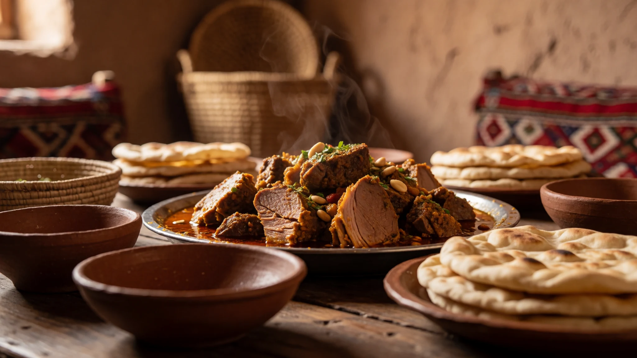
- Machboos — Regional roadside eateries and local guesthouses
A fragrant rice dish flavoured with saffron, turmeric, cardamom, and cloves, cooked alongside tender pieces of chicken, mutton, or fish. It is typically garnished with fried onions, raisins, and cashews, served communal-style on large platters.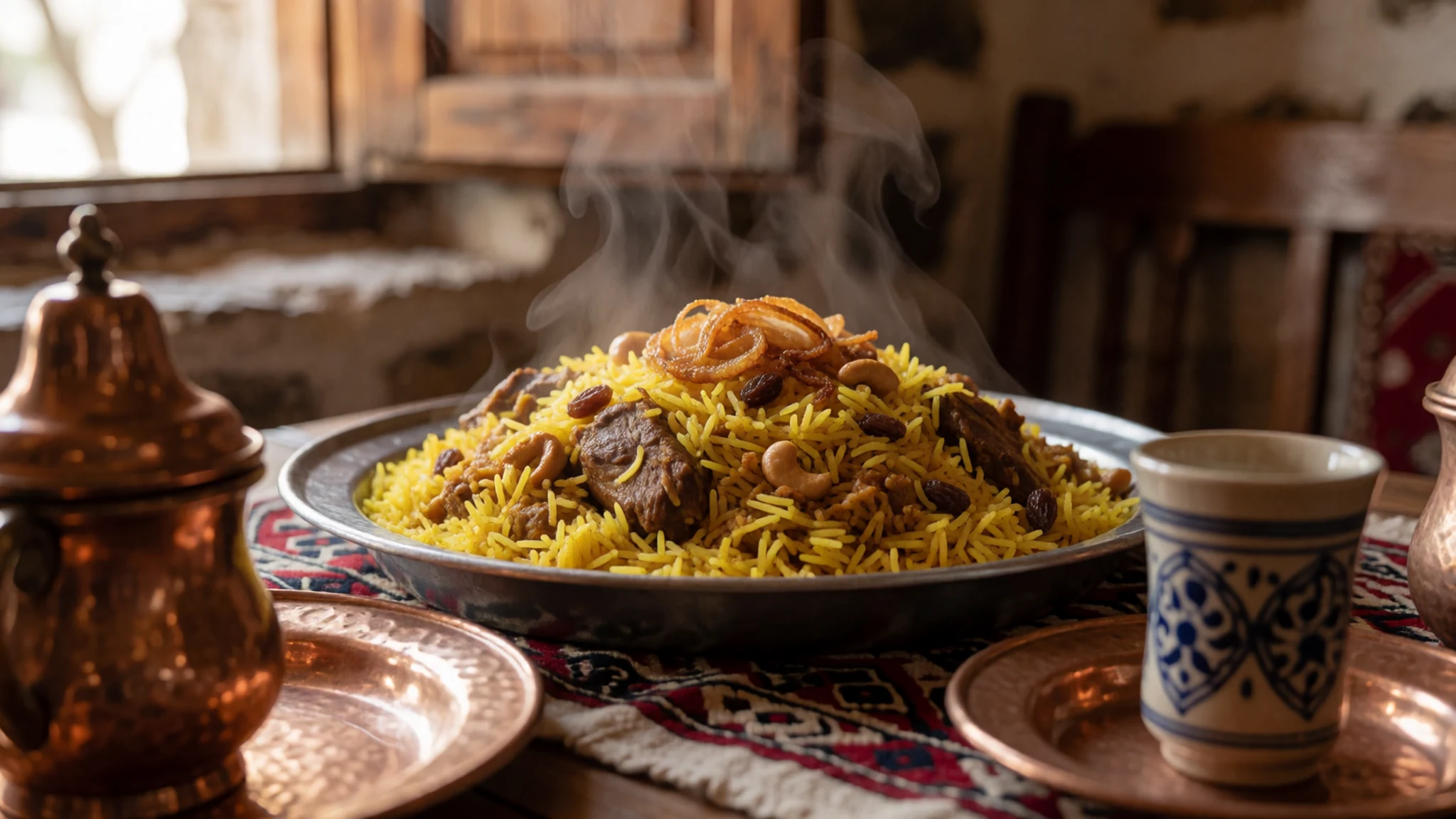
- Omani Halwa — Village sweet shops and mountain rest stops
A dense, gelatinous sweet confection made from brown sugar, eggs, honey, rosewater, and cashew nuts, heavily scented with cardamom and saffron. It is stirred continuously in large copper cauldrons over firewood and served alongside bitter coffee. - Khubz Rakhal — Local village bakeries and rural home kitchens
Thin, crisp paper bread baked quickly over a curved metal griddle or flat stone fire. This foundational flatbread is often crumbled into stews, dipped in honey, or eaten plain with morning tea.
Plan it
Best time. March to April for pleasant daytime warmth and clear skies, or October to November when autumn temperatures cool down comfortably; avoid the freezing winter nights unless well-equipped for sub-zero camping.
How long. 2
Getting there. Fly into Muscat International Airport, rent a sturdy four-wheel drive vehicle, and drive approximately 240 km southwest via Nizwa and Al-Hamra, ascending the steep graded mountain track for the final leg.
Budget. mid
Tips
- Rent a reliable four-wheel drive vehicle, as two-wheel drive cars are strictly not permitted on the steep mountain access road.
- Pack warm layers and windproof jackets, as temperatures drop dramatically after sunset at high elevation.
- Carry sufficient drinking water and snacks, as facilities on the upper plateau are limited.
- Start hikes early in the morning to beat the midday sun and ensure plenty of daylight for the return journey.
Etiquette
- Dress modestly by covering shoulders and knees when visiting local mountain villages.
- Always ask permission before taking photographs of local residents or private property.
Nearby
Sources
- Wikidata Q1261915 (CC0)
- Wikipedia (rev 1382837013) (CC BY-SA 4.0)
- Photo photos/01-jebel-shams-2.jpg (CC BY-SA 2.0)
- Photo photos/02-jebel-shams.jpg (CC BY-SA 2.0)
- Photo photos/03-wadi-ghul.jpg (CC BY 3.0)
- Photo photos/04-jebel-shams-balcony-walk-hike-2019.jpg (CC BY 4.0)
- Photo photos/05-view-from-the-balcony-walk-hike-at-jebel-shams-2019.jpg (CC BY 4.0)
- Photo photos/06-around-the-campfire-5315383043.jpg (CC BY 2.5)
- Photo photos/07-camping-site-5315979822.jpg (CC BY 2.5)
- Photo photos/08-canyon-at-jebel-shams-oman.jpg (CC BY-SA 2.0)
- Wikivoyage (CC BY-SA 4.0)


