Gullfoss
Gullfoss, Iceland
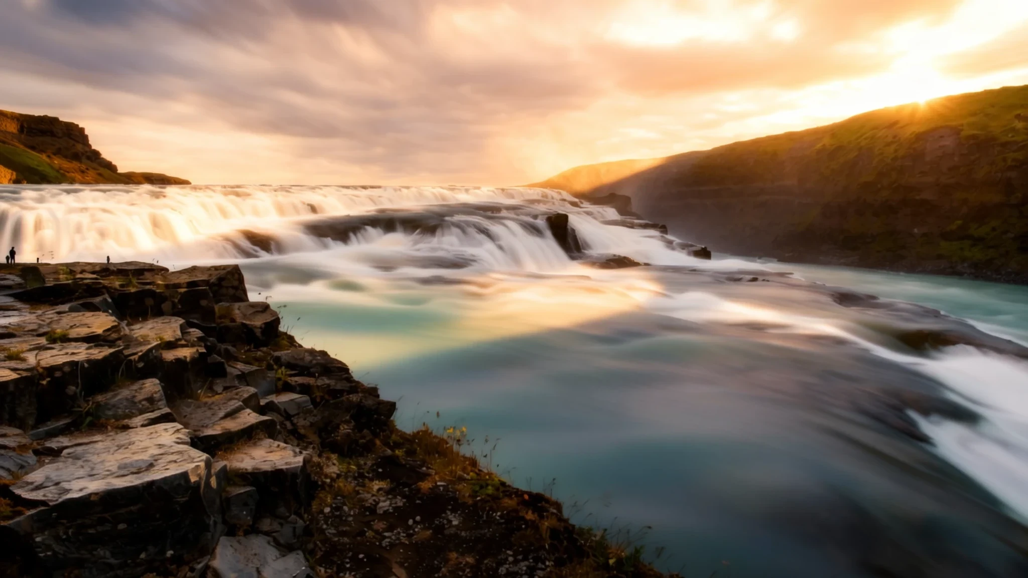
Gullfoss delivers an unforgettable encounter with raw power as millions of gallons of glacial water plunge into a dramatic canyon.
The place
Gullfoss sits majestically in the rugged canyon of the Hvítá river within southwest Iceland, positioned neatly between the rural municipalities of Bláskógabyggð and Hrunamannahreppur. As one of the country's most cherished natural landmarks, the waterfall forms an essential stop on countryside itineraries originating from the capital. The surrounding countryside serves as an authentic stage for some of the nation's most celebrated sagas, where legendary heroes and historical figures once roamed the sweeping plains and valleys. Although traditional turf-and-stone farmsteads from the medieval era have long since vanished due to the harsh climate and perishable building materials, the wild landscape remains largely unchanged since the settlement period. Travellers crossing this southern territory will notice an absence of natural harbours along the coastline, steering local economies away from traditional seafaring towards robust inland agriculture and dairy farming. The pastoral heartland features fertile pastures supporting livestock and unique local cultivation projects, framed by distant glaciers and volcanic highlands. Visitors arriving at the site find themselves immersed in a sweeping expanse of green fields, roaring waterways, and immense open skies that characterize the southwestern interior. The sheer scale of the natural theatre leaves a lasting impression on everyone who makes the journey into this dramatic river valley, offering a genuine glimpse into the untamed elements that shape island life.
Its story
{"reading": "Gullfoss owes its character to both the land beneath it and the people who fought to keep it intact, with ice-age forces and determined defence shaping its story much as the thundering water does. The Hvítá flows southward and swings sharply west about a kilometre upstream of the plunge. Here it cascades down a wide, arched staircase of three levels, then drops through two further steps into a deep gorge that runs across the direction the river has been travelling. Throughout the stretch from the early twentieth century to the late, locals often debated tapping the falls for hydropower, a prospect that threatened to turn the untamed site into an industrial one. During those years the proprietors rented the falls through intermediaries to overseas backers keen to reshape the scenery for electricity production. Those backers ultimately failed, partly because money ran short and opposition at home kept growing. Sigríður Tómasdóttir, the daughter of one co-owner, is widely given the credit for preserving the cataract from outside exploitation; she campaigned relentlessly for legal safeguards against foreign ownership and is said to have promised she would throw herself into the falls should the dam be built. A stone monument overlooking the cascade now shows her profile as a tribute to her work. The falls were eventually bought by the Icelandic state and designated a lasting nature reserve, so that generations to come could witness the site in its original, untouched condition."}
What to see
- Seljalandsfoss — South Iceland coast
Seljalandsfoss is a dramatic waterfall located in South Iceland, well known for allowing visitors to walk completely behind the cascading sheet of water falling off a high coastal cliff. The surrounding area offers wonderful views across the flat coastal plains towards the ocean.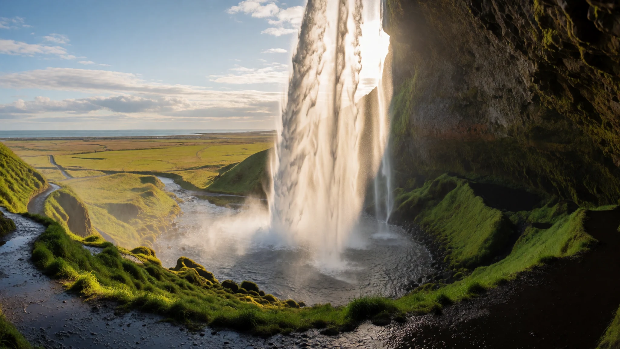
- Fjaðrárgljúfur Canyon — Near Kirkjubæjarklaustur
Fjaðrárgljúfur Canyon stands out as one of the most popular and visually striking canyons in the region, featuring winding walking paths along its steep, serpentine walls. Located near Kirkjubæjarklaustur, the gorge provides breathtaking perspectives over snake-like glacial streams cutting through ancient palagonite rock.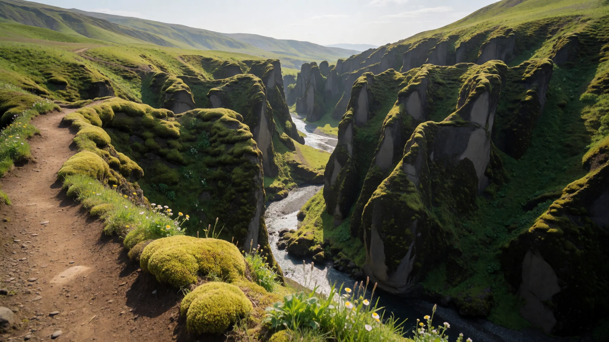
- Golden Circle Route — Southwest interior
The Golden Circle tour route connects several of the country's most famous natural and historical features into a convenient loop from the capital region. A standard itinerary typically combines the roaring power of Gullfoss with nearby geothermal geysers and the historic rift valley.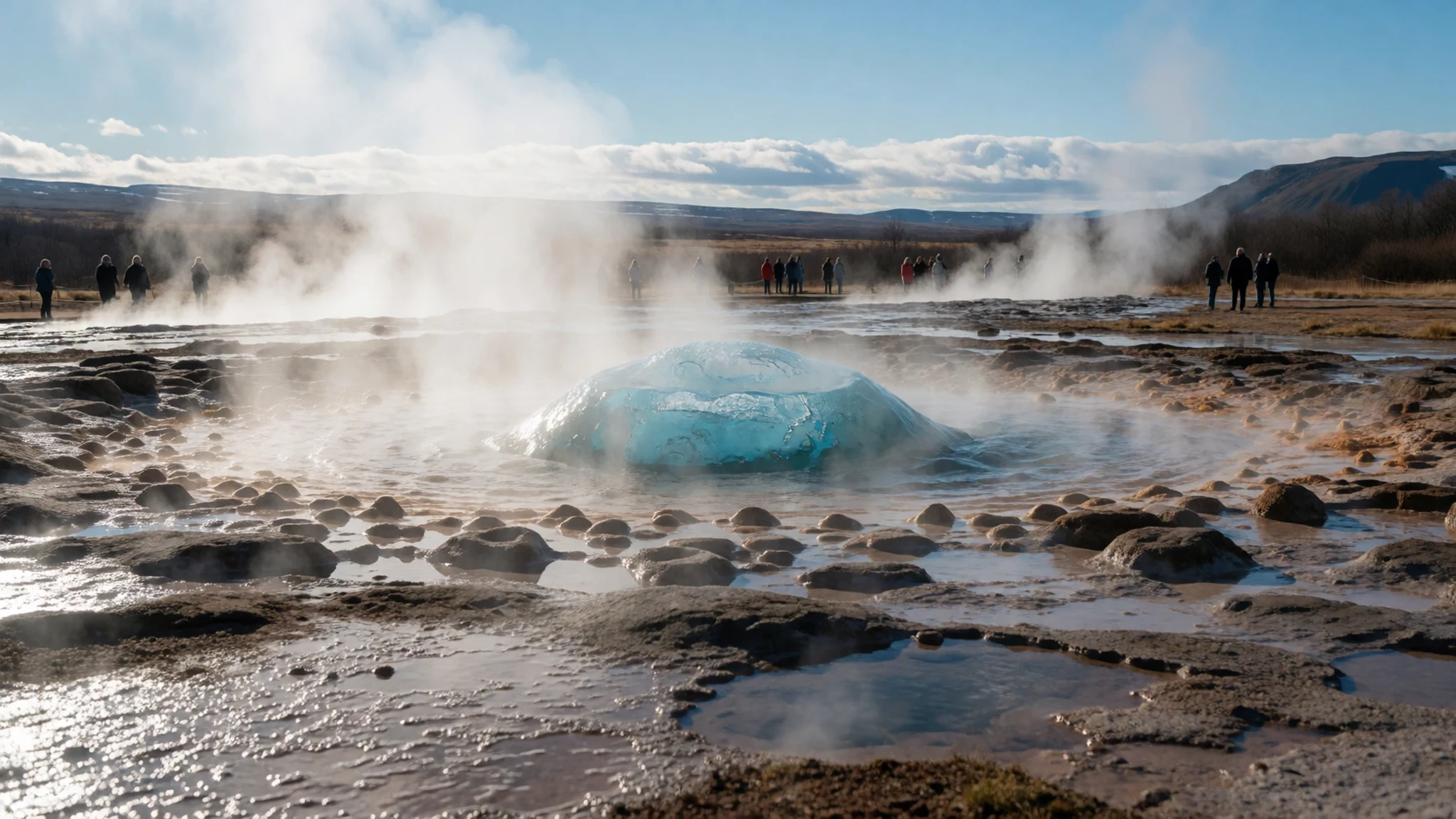
- Laugavegur Trail — Highland interior
The Laugavegur Trail is a renowned long-distance hiking route stretching across the interior highlands between interior thermal areas and lush southern valleys. Walkers typically spend several days traversing diverse volcanic terrain, crossing black sand deserts, and staying in mountain huts along the way.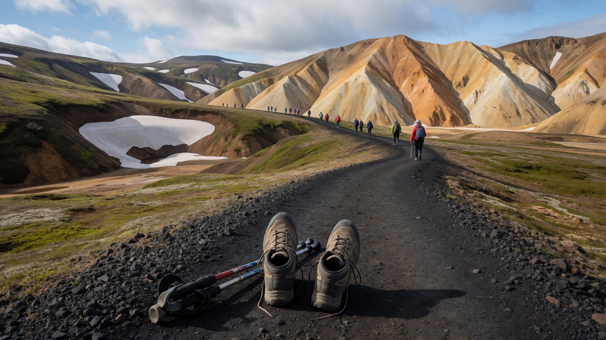
Culture
Gullfoss and the surrounding southern region reflect a culture deeply rooted in agricultural heritage, storytelling, and a profound respect for the natural environment. Local communities maintain a strong connection to the land through traditional farming, sheep rearing, and dairy production that sustains communities across the island. Folklore and sagas passed down through generations imbue every river valley, mountain pass, and lava field with tales of outlaws, heroes, and hidden folk. While modern conveniences have transformed daily life, traditional values of self-reliance, hospitality, and stewardship of the wilderness remain paramount among rural residents. Visitors are welcomed with quiet warmth and straightforward friendliness, and English is spoken almost universally throughout the region. Artistic expression often draws directly from the stark contrasts of the landscape, inspiring local literature, crafts, and music that capture the moods of the changing seasons. When visiting natural sites and farms in the region, always stay on marked footpaths to protect fragile moss and vegetation from irreversible trampling.
What to wear
Gullfoss visitors and local residents prioritize absolute practicality, warmth, and weather resistance over traditional decorative garments in everyday wear. While historical attire once featured heavy hand-spun woollen tunics and traditional patterned sweaters designed to withstand freezing winds, modern islanders dress in contemporary, functional outdoor clothing suited for rapidly shifting weather conditions. Traditional knitwear featuring distinctive yoke patterns remains a cultural touchstone and a popular craft, still hand-knitted from local sheep's wool for exceptional warmth. For anyone visiting the waterfall and the surrounding countryside, the golden rule of dressing is layering with technical fabrics. Essential gear includes a waterproof and windproof outer shell jacket, sturdy waterproof hiking boots with reliable grip for wet rock surfaces, thermal base layers, and durable trousers. Hats, gloves, and scarves are necessary even during warmer months, as spray from the waterfall combined with sudden cold gusts can quickly chill unprepared sightseers exploring the viewing platforms.
What to eat
- Local Dairy Produce — Regional farm shops and local cafes
The western part of South Iceland is an agricultural heartland producing rich milk, creamy skyr, and artisanal cheeses available in regional farm shops and cafes across the countryside.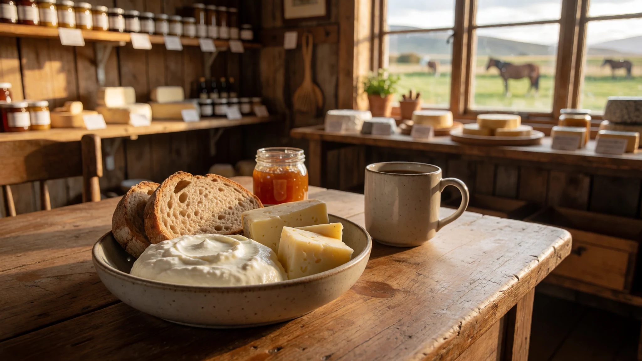
- Arctic Char — Traditional eateries throughout the southern region
Fresh-water fishing and aquaculture play a vital role in local sustenance, with tender Arctic char from Kirkjubæjarklaustur celebrated across the island as a delicate culinary specialty.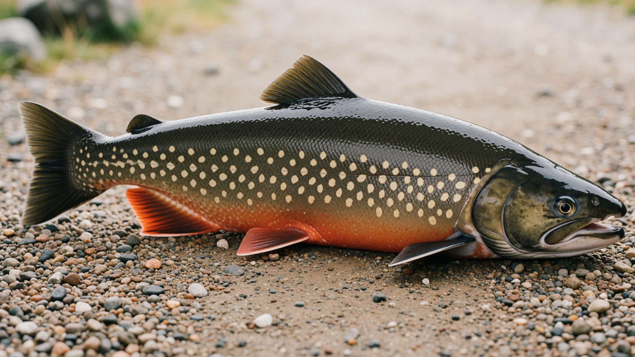
- Icelandic Wheat — Directly from the Þorvaldseyri farm visitor centre
The unique southern farm of Þorvaldseyri cultivates wheat in challenging northern conditions, allowing visitors to purchase locally grown grain products directly from the farming family. - Grass-Fed Lamb — Country restaurants and roadside diners
Traditional sheep farming across the agricultural heartland provides exceptionally tender, free-range lamb featured in hearty stews and traditional roasting dishes served in local restaurants.
Plan it
Best time. June to August offers the most accessible road conditions and extended daylight hours for exploring, while summer months bring peak water flow to the falls.
How long. 2–3
Getting there. Fly into Keflavík International Airport, rent a car, and drive east along the Ring Road or take the interior road via Þingvellir to reach South Iceland.
Budget. mid
Tips
- Rent a robust car to navigate rural gravel roads safely
- Check weather and road conditions daily before setting out
- Arrive early in the morning to experience the waterfall without large tour groups
- Carry layers of waterproof clothing regardless of the forecast
- Keep a safe distance from cliff edges and obey all safety signage
Etiquette
- Stay strictly on marked paths to protect sensitive moss and vegetation
- Respect private farmland and close gates behind you if walking near pastures
Nearby
Sources
- Wikidata Q38519 (CC0)
- Wikipedia (CC BY-SA 4.0)
- Wikivoyage (CC BY-SA 4.0)