Great Himalayan National Park
Great Himalayan National Park, India
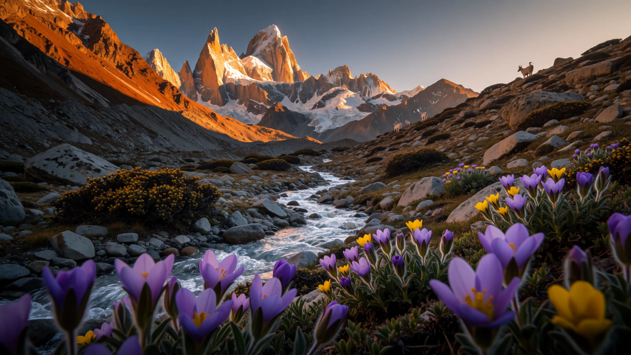
Great Himalayan National Park pairs big elevation gradients with serious wildlife protection, so your hikes feel grounded in real habitat, not set pieces.
The place
Great Himalayan National Park (GHNP) is a national park in India, set in Banjar sub-division of Kullu district, in Himachal Pradesh. It was established in 1984 and covers about 1171 km², with landscapes that shift dramatically across altitude, from roughly 1500 m up to around 6000 m. That change in height matters on the ground: the air cools quickly as you gain elevation, plants and birds vary with the slope and moisture, and weather can turn from mild to sharp even within a day.
The park sits in a region that’s famous for valley drives and hill villages, but GHNP is fundamentally about conservation and access on the terms of the terrain. The wildlife record is broad, covering a mix of mammals, birds, reptiles, amphibians, and insects. The park’s protections are tied to the Wildlife Protection Act of 1972, so hunting is not permitted, and the whole visitor experience is shaped by that stricter approach.
From a practical traveller’s point of view, GHNP is best understood as a network of valleys and forested belts rather than one “main sight”. People often plan routes from nearby towns and base themselves along the way, then move between trailheads, viewpoints, and valley routes. If the idea is to see wildlife, the honest expectation is quiet time and careful observation rather than guaranteed sightings. If the idea is to walk, the honest expectation is effort: steep paths, changing conditions, and plenty of layers—because the park’s biggest character is the Himalayan vertical world itself.
Its story
GHNP’s story starts with elevation. In a single park, you can move between forest types and climates as the land rises, and that natural “stacking” is part of why so many different species can survive here. The park was established in 1984, and since then it has been managed with strict rules under India’s Wildlife Protection Act of 1972—an approach that shifts the mood from sightseeing to stewardship.
In the Kullu region, most visitors don’t feel the park as one continuous path. They feel it as a set of entrances into greener, wilder country. Roads and settlements in the valleys help you reach trail starts, then the walking does the rest: climbing through quiet shade, emerging into open views, and returning to the soundscape of birds and wind in the trees. The park’s UNESCO listing (added in June 2014) reflects the biodiversity focus, but on the ground it shows up as a strong emphasis on staying within established access and respecting the animals and habitat.
There’s a particular kind of satisfaction that comes from hiking in a place where wildlife protection is not just a signboard. If you’re patient, you end up watching more than you photograph—listening for movement, noticing how the light changes with altitude, and learning which valleys tend to feel cooler or more exposed. And because the park spans a wide altitude range, conditions are seasonal and change quickly, so planning around temperature and daylight isn’t optional; it’s what keeps the trip comfortable.
What to see
- Gadda Gusaini valley (near Jibhi) — near Jibhi / Banjar side
Gadda Gusaini sits in a “virgin valley” vibe near the backpacker hub of Jibhi, so it works well for a quieter walk while still being close enough to refuel. Expect valley views, rural routes, and a calm that feels different from the busier nearby strips.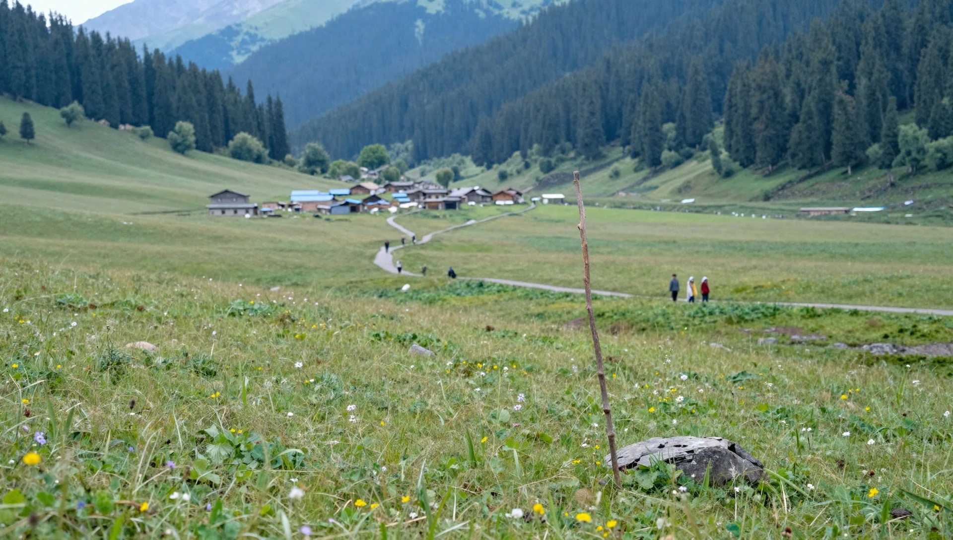
- Jhatingri forests — forested routes around Jhatingri
Jhatingri is associated with deodar and blue pine forests, which is exactly the kind of setting where morning light and shade make the trail feel cooler. The appeal is the forest ambience—walks that are as much about vegetation and birdsong as they are about viewpoints.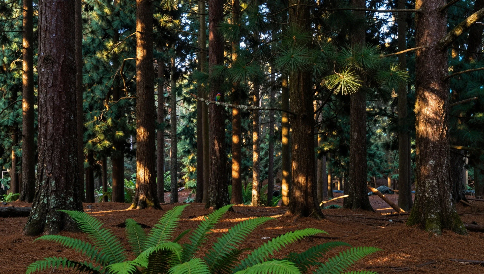
- Karsog Valley orchards — near Chindi in Karsog Valley
Karsog Valley is known for scenic views and apple orchards around Chindi, giving you a different feel from purely forested stretches. In the orchard landscape, the terrain is often more varied—good for slow wandering and for pausing with roadside views.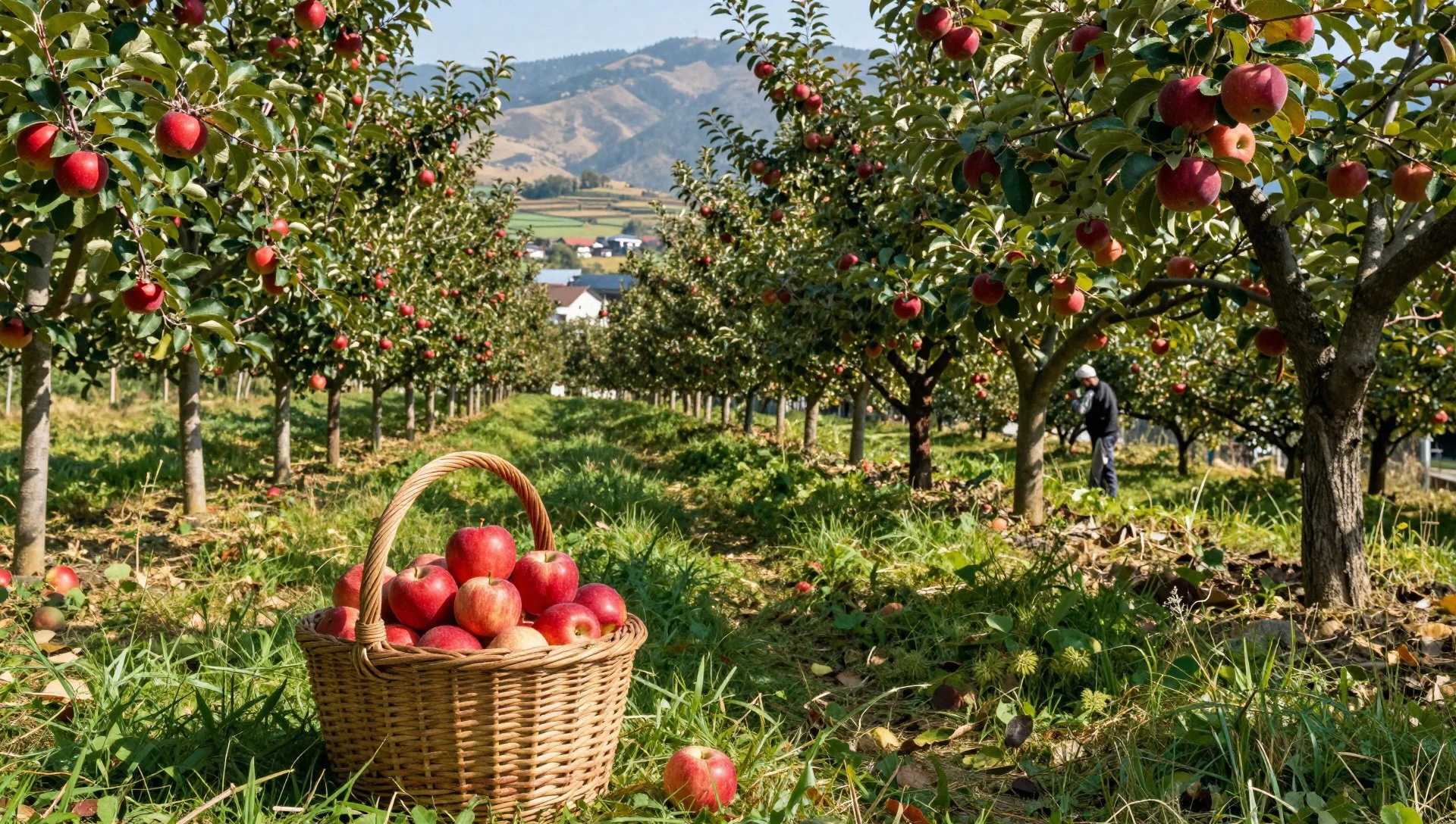
- Barot outdoor base — Barot / Jogindernagar side
Barot is described as an outdoor-activity hub, reached via haulage trolley from Jogindernagar. That matters because it tends to attract active travellers, with energy around the river-and-mountain feel, whether the plan is walking, scouting routes, or simply soaking up the hill-town atmosphere.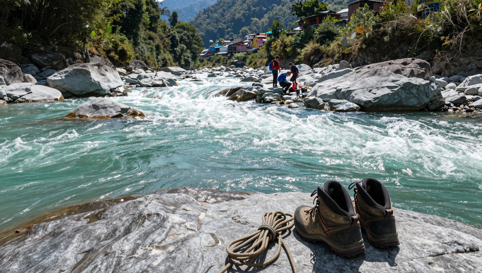
- Wildlife watching in forest belts — forest trails across the park
Great Himalayan National Park is home to lots of animals and birds, so wildlife time is about steady observation—quiet stops, scanning canopy edges, and moving slowly on trails. Some of the most rewarding moments are unplanned: the call of a bird, tracks in damp patches, and movement you spot late.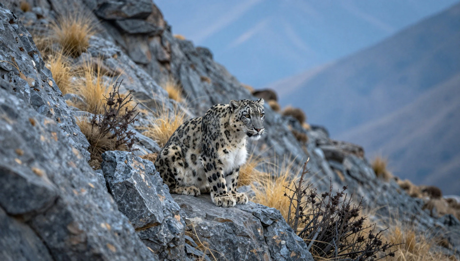
- Rohanda Valley (motorcycling routes) — Rohanda Valley
Rohanda Valley is popular with motorcycling clubs, so it’s a good “route landscape” if you like seeing how roads and ridgelines connect viewpoints. The draw here is the riding-and-road perspective—wide angles, open stretches, and a sense of distance across the hills.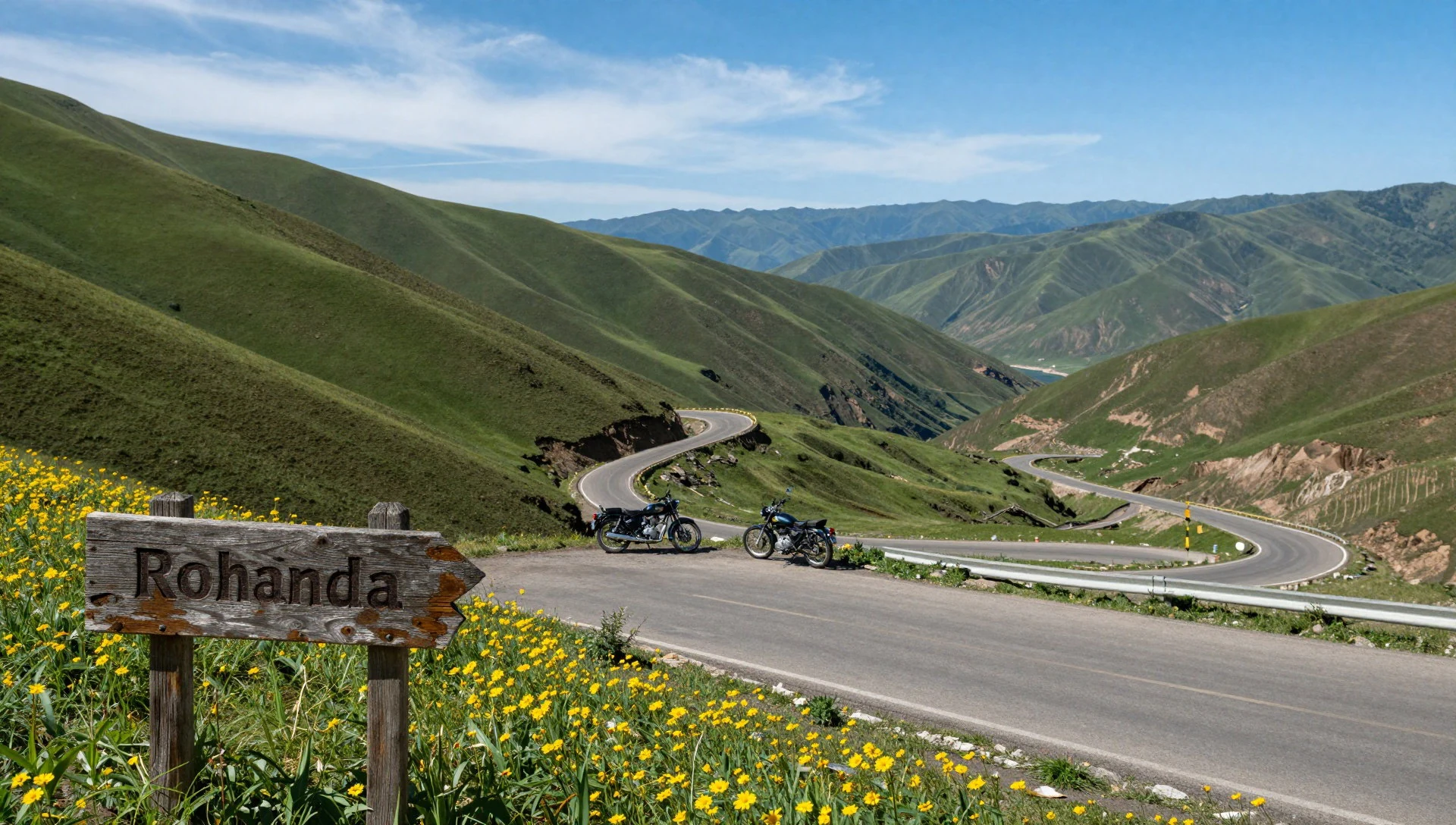
Culture
Life around GHNP is shaped by Himachal’s valley geography: villages sit where roads can reach, farms and orchards follow slopes and water access, and the daily rhythm tends to be practical rather than touristic. Even when you’re just passing through places tied to the park, you’re surrounded by a culture of outdoors—carrying layers, watching the weather, and working with the land through seasons.
The park’s conservation focus also affects cultural behaviour. Hunting is not permitted under the Wildlife Protection Act of 1972, and visitors generally feel that restraint in the way trails are used: slower movement, fewer “rush” stops, and more attention to respecting habitat. If you visit areas associated with valley life (like orchard zones or forest villages), you’ll also notice the informal hospitality of small communities—people who have learned to share limited space with travellers while keeping things grounded in routine.
A helpful mindset is to treat the landscapes as living places, not scenery. Keep voices down in forested sections, ask before entering private fields, and be mindful that locals may rely on the same routes and access points you’re hiking for recreation. That simple awareness makes for smoother interactions and better memories.
What to wear
In the GHNP region, dressing is mainly about temperature control and practicality across altitude. Traditional clothing exists in Himachal communities, but what visitors actually wear now is typically simple: breathable tops, warm layers, and a waterproof outer layer because mountain weather can change quickly.
On textiles and tradition, you’ll commonly see wool and layered fabrics suited to cool hill temperatures, along with locally made items that reflect Himachal’s cold-season needs. During walks, those same materials are useful even if you’re not wearing full traditional dress. For religion-related village moments around the area, modesty goes a long way—covered shoulders and longer hemlines help, especially when you’re entering homes or sacred spaces.
What to pack: a light base layer, an insulating mid-layer, and a waterproof jacket; gloves and a hat are sensible when it’s cooler. Footwear should be hiking-ready with grip, because forest trails and valley paths can be uneven. If you’re doing early starts, bring a warm layer you can put on quickly—sun comes and goes fast in the mountains.
What to eat
- Bananas, mangoes and papayas — local markets and roadside stalls in the Kullu hill towns
In the GHNP region, fruit often takes centre stage. Bananas, mangoes, and papayas show up as easy snack and meal-time additions, especially when market stalls are busy in season.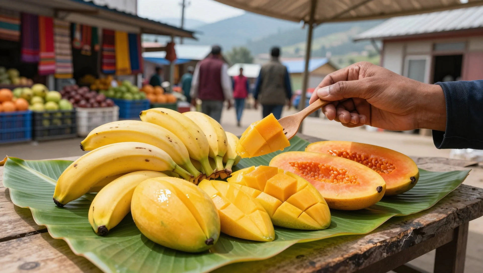
- Yogurt with seasonal fruit — village eateries and small cafes around Kullu valley
A common comfort pairing is yogurt with seasonal fruit, which works well after a hike when you want something cooling and filling. It’s a simple, low-fuss way to refuel without heavy cooking.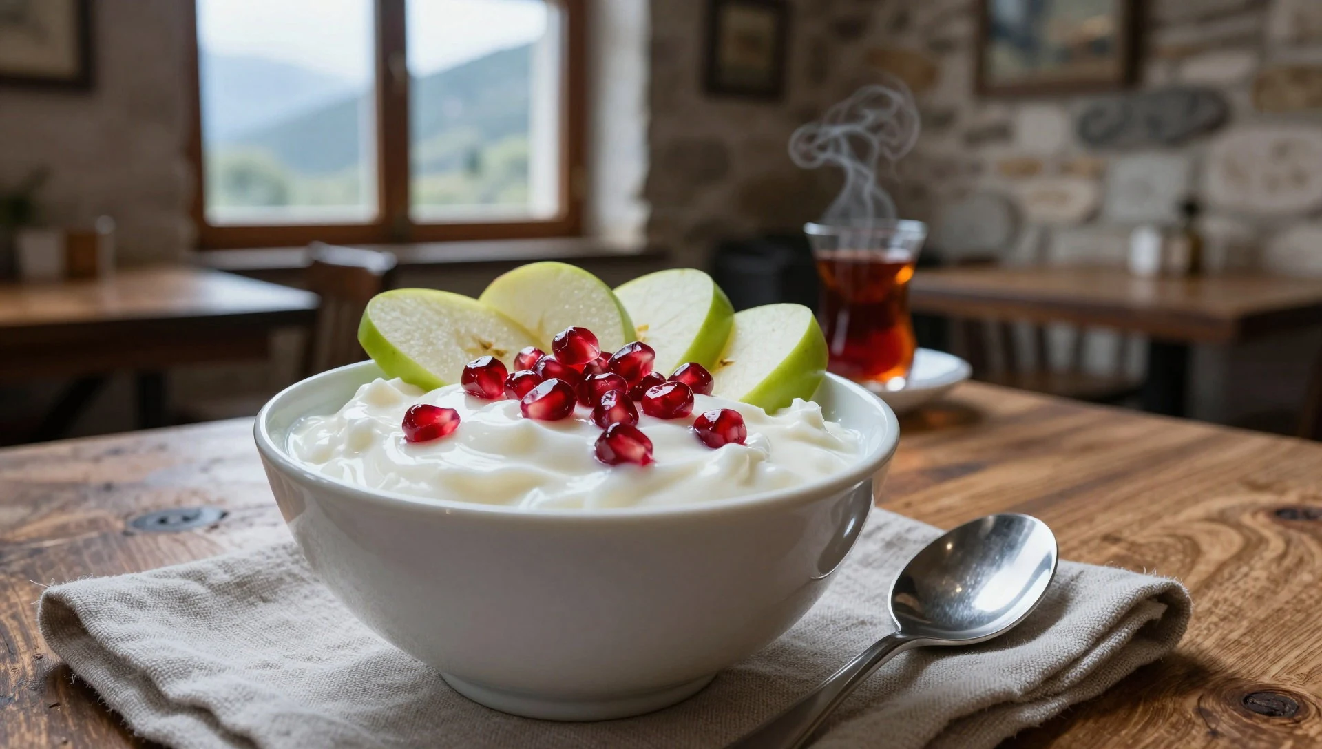
- Apple-based snacks (where available) — orchard belt areas such as Karsog Valley near Chindi
Apple orchards are part of the regional food identity, so you may find apple-based snacks and preparations when you’re in orchard areas. It’s often easier to spot in places tied to valleys with apple production. - Trekking-day energy bites — stores and bakeries near trailheads and on route between valleys
For longer walking days, keep a stash of energy snacks that travel well—things you can eat while moving, before hunger turns into fatigue. Simple bakery-style snacks and sweet bites are common choices for hill trips. - Banana-and-fruit drinks (simple juices/shakes) — tea shops and local eateries in Banjar/Kullu towns
Fruit-based drinks are an easy way to top up fluids and calories on the go. A banana or mixed-fruit option can be a practical middle step between meals, particularly when temperatures are changeable.
Plan it
Best time. March–May are relatively drier and mild, with the driest stretch in October; June is the start of the wettest season, with July and August the wettest months, and August also the hottest. For clearer, cooler conditions, aim for September through November, with October–November the cool end of the year.
How long. 3–4
Getting there. Fly to a major airport in Himachal/nearby plains, then take road transport to the Kullu district base area and start from valley access points around Banjar/Jibhi and nearby towns.
Budget. mid
Tips
- Aim for early starts to get softer light and calmer trail conditions before midday heat or cloud cover
- Build your route around altitude shifts: carry enough layers for cooler higher sections
- Plan for weather changes and pack a waterproof outer layer, especially around the rainy season period
- Keep small cash for village stops and snacks, even if card payments exist in towns
- Use quieter intervals for wildlife viewing: move slowly, pause often, and scan canopy edges
Etiquette
- Stay on marked paths and avoid pushing off into habitat for photos
- Keep noise down in forest sections and don’t disturb wildlife if you see it
- Ask before entering cultivated fields or stopping for long breaks at someone’s doorstep
Nearby
Sources
- Wikidata Q1544213 (CC0)
- Wikipedia (rev 1371264877) (CC BY-SA 4.0)
- Wikivoyage (rev 5285045) (CC BY-SA 4.0)
- Photo photos/01-great-himalayan-national-park-kullu-himachal.jpg (CC BY-SA 4.0)
- Photo photos/02-himalayn-national-park-01.jpg (CC BY-SA 4.0)
- Photo photos/03-great-himlayan-national-park-himachal-pradesh-india.jpg (CC BY-SA 4.0)
- Photo photos/04-irbis4.jpg (Public domain)
- Photo photos/05-verditer-flycatcher-in-great-himalayan-national-park.jpg (CC BY-SA 4.0)
- Photo photos/06-authentic-village.jpg (CC0 1.0)
- Photo photos/07-bagishayadi.jpg (CC BY-SA 4.0)
- Photo photos/08-beautiful-nature-bagishayadi.jpg (CC BY-SA 4.0)


