Great Britain
Great Britain, United Kingdom
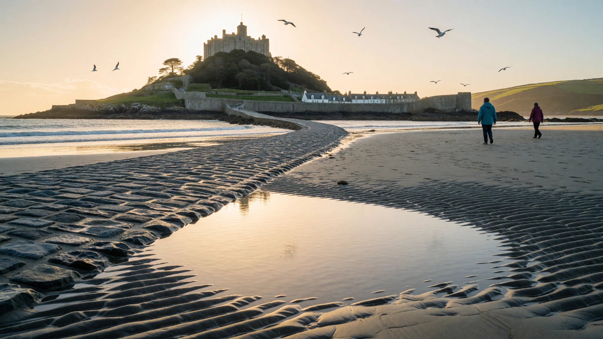
Great Britain packs chalk cliffs, Highland heather, Welsh coves and old cities into one island where the sea is rarely far away.
The place
Great Britain is the island that holds England, Scotland and Wales, set in the North Atlantic off the north-west edge of continental Europe. Ireland lies across the water to the west, while the Channel and the North Sea separate the island from France, Belgium and the Netherlands. The United Kingdom, of which the island forms the largest part, has about 65 million people, and most of them live in cities within reach of the coast. The land changes quickly over short distances. The south has chalk cliffs and shingle beaches, Devon and Wales have red and grey coves, the east coast has wide sandy flats, and western Scotland breaks up into sea lochs and rocky islands. Inland there are moors, lakes, mountains and busy cities. The climate is maritime, so the sea softens the seasons: winters are mild, summers are cool by Indian standards, and the gap between the two is modest. In practice that means changeable weather, with sun, cloud and a shower all possible in one afternoon, and a sharp wind on even a warm beach day. Heat waves do happen, and the beaches fill fast when they do. Distances are small, so a city and a coastline can often share a single day's travel. The name itself is slippery. It can mean only the island, or the political territory with its offshore islands, and Northern Ireland sits outside both uses even though it is part of the UK. People usually describe themselves as English, Scottish or Welsh, and visitors do well to follow that lead.
Its story
Great Britain was not always an island. For long stretches of the ice ages, sea levels were low enough that people and animals could walk from the continent. The oldest known traces of early humans are footprints preserved on the Norfolk coast at Happisburgh, left by a very ancient population that came and went with the changing climate. Later floods are thought to have broken through the chalk ridge that joined Britain to France, carving out the English Channel and turning the land into an island whenever the climate warmed. Modern humans arrived much later, and remains from Kents Cavern in Devon are among the evidence for them. A marshy plain called Doggerland survived in what is now the North Sea until about 9,000 years ago, linking the east coast with Denmark and the Netherlands before the rising water finally covered it. After the sea closed in, the island's story became one of arrivals by boat. Hunter-gatherers were joined by Neolithic farmers, who came from Anatolia and brought crops, livestock and new ways of building. Their descendants raised the stone circles and burial mounds that still stand on hillsides and headlands. Ancient mapmakers such as Ptolemy sketched the island from reports of sailors, which is why early maps show it oddly twisted. The coast shaped everything that followed: trade, invasion, fishing, naval power and, eventually, the seaside holiday. To read the island's past, it helps to treat the sea as the main character and the land as its edge.
What to see
- Land's End and the Cornish coast — Cornwall, south-west England
At the south-western tip of England, Cornwall's granite cliffs drop to a loud, restless Atlantic. The signposted Land's End spot is commercial and busy, so many visitors prefer walking the coast path to quieter coves nearby. Go on a clear evening, wear sturdy shoes, and expect wind whatever the season.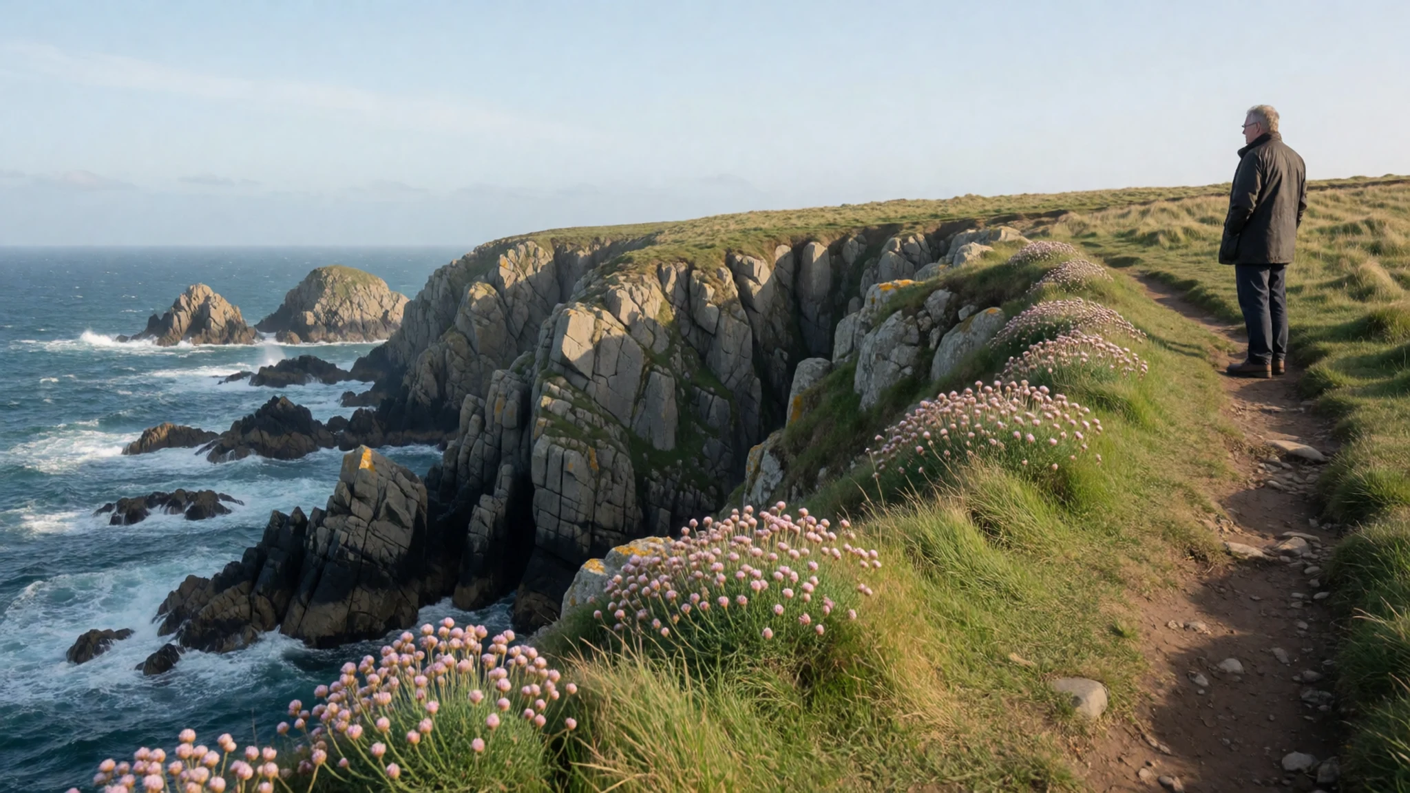
- Jurassic Coast, Dorset and Devon — Dorset and east Devon
This stretch of the English Channel shore shows layers of rock in colourful cliffs, and fossils wash out of the clay after storms. Lyme Regis is the easiest base for beach walking. Check tide tables before leaving the car park, and stay clear of the crumbling cliff bases.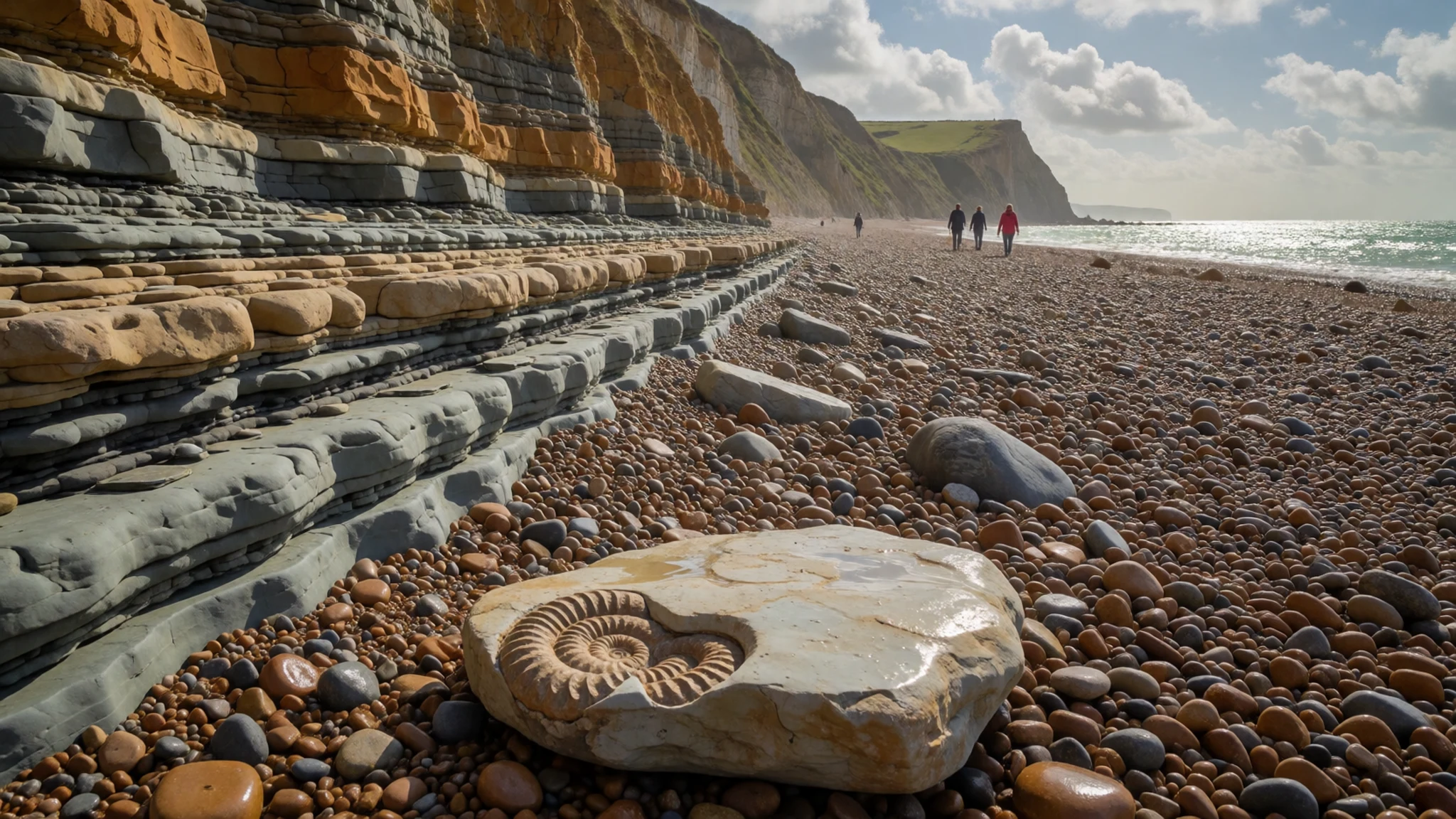
- Pembrokeshire Coast — Pembrokeshire, west Wales
The Welsh south-west has small harbours, sandy bays and a long cliff path with seals and seabirds below. Tenby and St Davids make good bases. Boat trips to offshore islands depend on sea conditions, so book flexibly and carry a waterproof layer.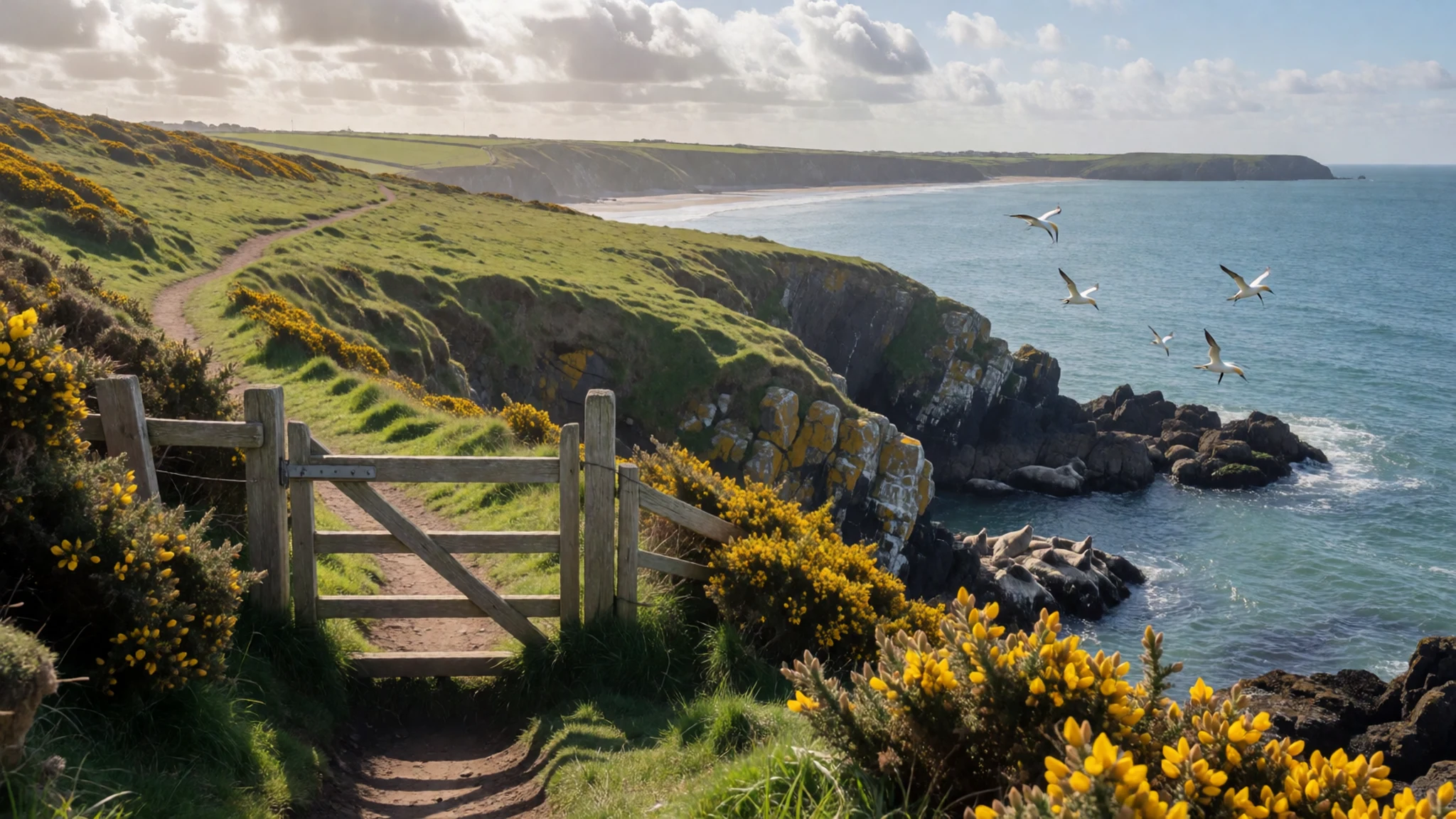
- Northumberland coast — Northumberland, north-east England
The north-east England shoreline has long empty beaches, dunes and castles standing right above the sand, Bamburgh being the best known. It is cooler and quieter than the south coast, which suits walkers. The water is cold even in summer, so most people stroll rather than swim.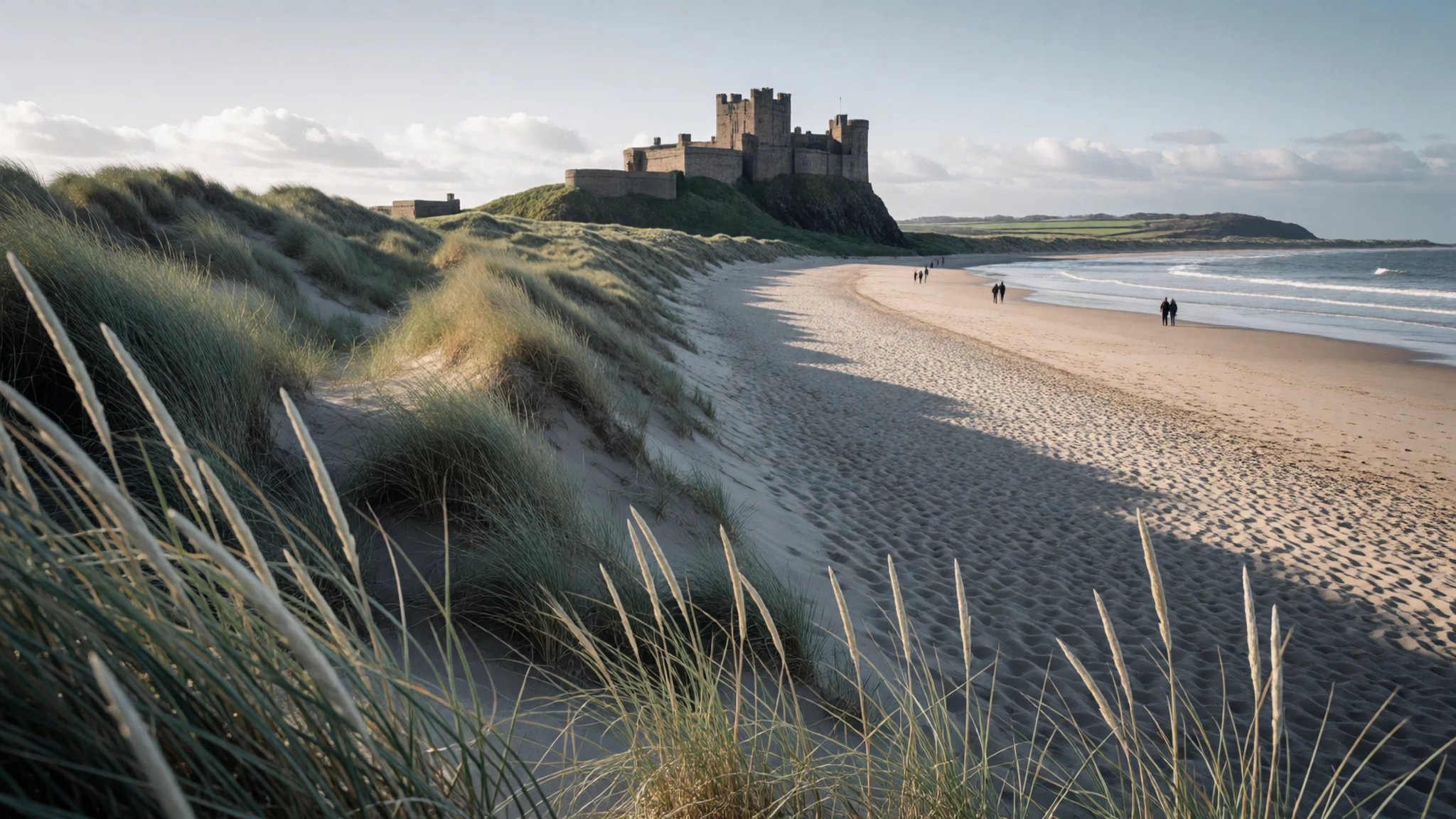
- Isle of Skye — Inner Hebrides, western Scotland
Skye, off the Scottish west coast and reached by a road bridge, is a mix of jagged ridges, sea cliffs and small fishing villages. Summer brings crowds and midges, and the weather can swing from clear to wet in an hour. Reserve rooms well ahead and plan slow driving on narrow roads.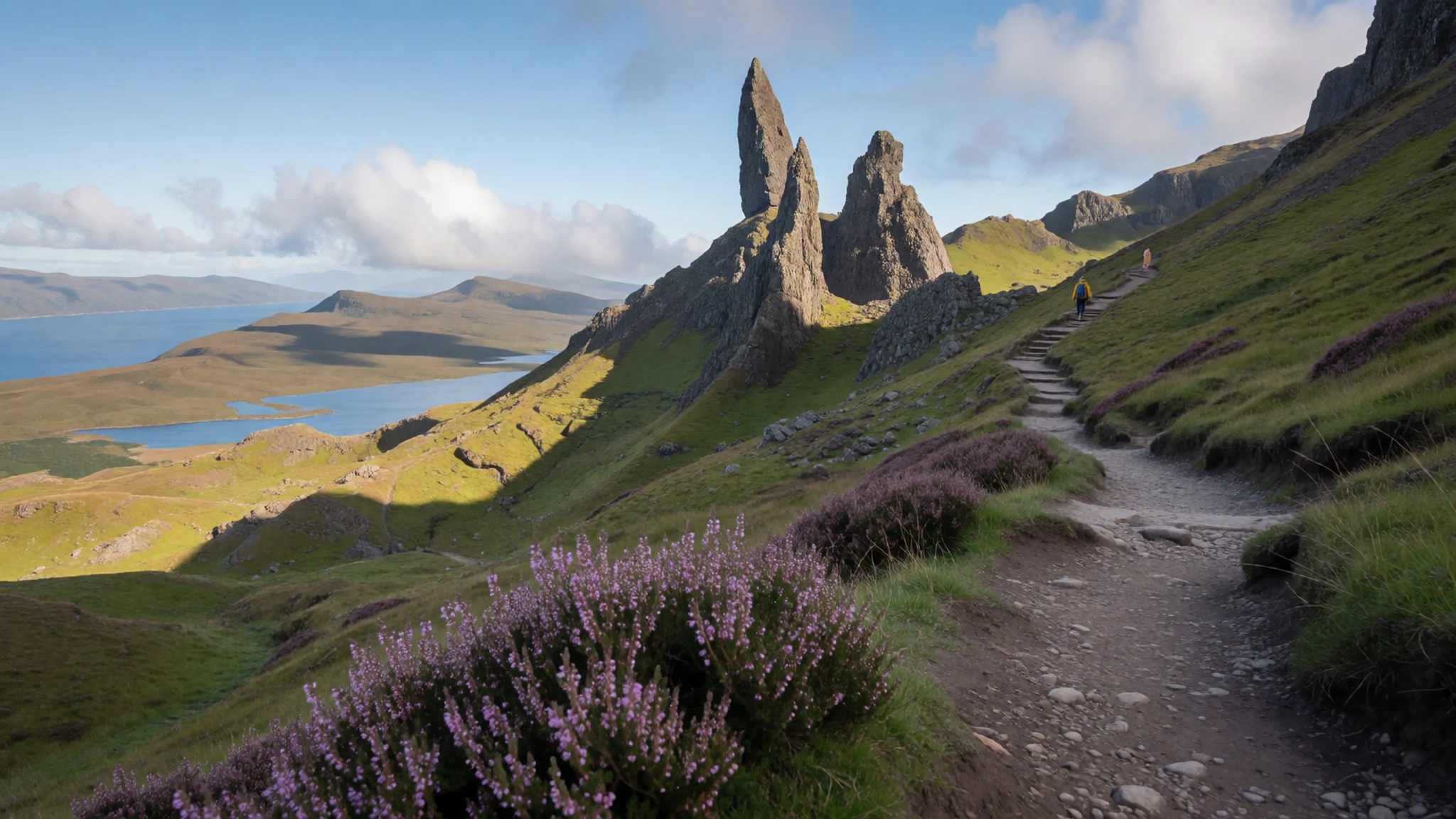
Culture
Great Britain's manners lean towards understatement. Greetings are casual: a friendly "hello" will do, and people often say "alright?" as a greeting rather than a real question, so the usual reply is simply "alright" or "not too bad, you?". A handshake is normal between anyone, a hug is for close friends, and the simplest approach is to follow what the other person offers. Queuing is taken seriously, whether at a bus stop, a fish-and-chip counter or a ferry ramp, and pushing in is a quick way to annoy a crowd. Politeness shows up in small words, with "please", "thank you" and "sorry" used constantly, even when nobody is really at fault. Pubs are social centres, especially in coastal towns, and rounds of drinks are usually bought in turn rather than split on a bill. Humour is dry and often self-mocking, and talk about the weather is a standard way to start a conversation. The island is also made up of three nations, each with its own identity, and Scottish and Welsh people may dislike being called English. Many Welsh signs and place names appear in Welsh, and in Scotland Gaelic is heard mainly in the north-west and the islands. Regional accents vary a great deal, so it is fine to ask someone to repeat themselves. On a beach or coast path, people give each other space and keep voices low. Join the queue at the back, wait your turn at counters and bus stops, and never push ahead of the line.
What to wear
Great Britain has no single national costume, but each nation has recognised traditional dress. In Scotland the best known is the kilt, made from woollen tartan, with each pattern tied to a clan or district. It is worn today mainly at weddings, formal dinners and Highland games, often with a jacket and sporran. Wales has the traditional costume of a tall black hat, shawl and woollen dress, now seen mostly at festivals and school celebrations, and Welsh wool blankets are still woven. In England, Aran and Guernsey knitwear came out of fishing communities, and waxed cotton and tweed come from country working clothes. Day to day, people dress practically and casually: jeans, trainers, jumpers and a rain jacket carried even on bright mornings. In cities, smart casual is the norm, with suits mostly for offices and formal events. At the coast, people layer up, because a calm sunny morning can turn windy and cold. Visitors should pack layers, a light waterproof coat, and comfortable shoes with good grip for wet pavements, shingle and cliff paths. A warm hat and a fleece are useful even in summer, especially in Scotland and on the northern and western coasts. Swimwear is for the beach only, and people cover up in towns. Churches and cathedrals do not enforce strict dress, but shoulders and knees covered is a courteous choice, and sturdy boots are better than sandals for hills and moors.
What to eat
- Fish and chips — Chip shops in seaside towns and harbours
Battered fish with thick chips, eaten with salt and vinegar, mushy peas or tartare sauce. It is the classic seaside meal, best taken out and eaten on a harbour wall, though gulls will watch closely. Haddock and cod are the usual choices.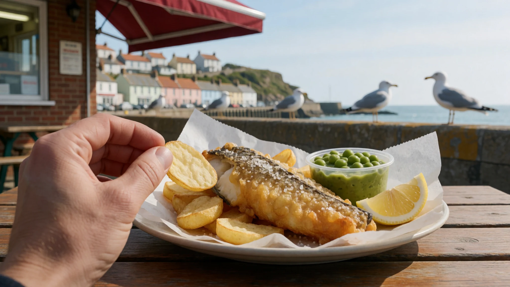
- Cornish pasty — Bakeries in Cornwall and Devon
A folded pastry case filled with beef, potato, swede and onion, baked until the crust is sturdy. It began as a miner's lunch, which explains the thick crimped edge. Eat it warm and fresh rather than reheated.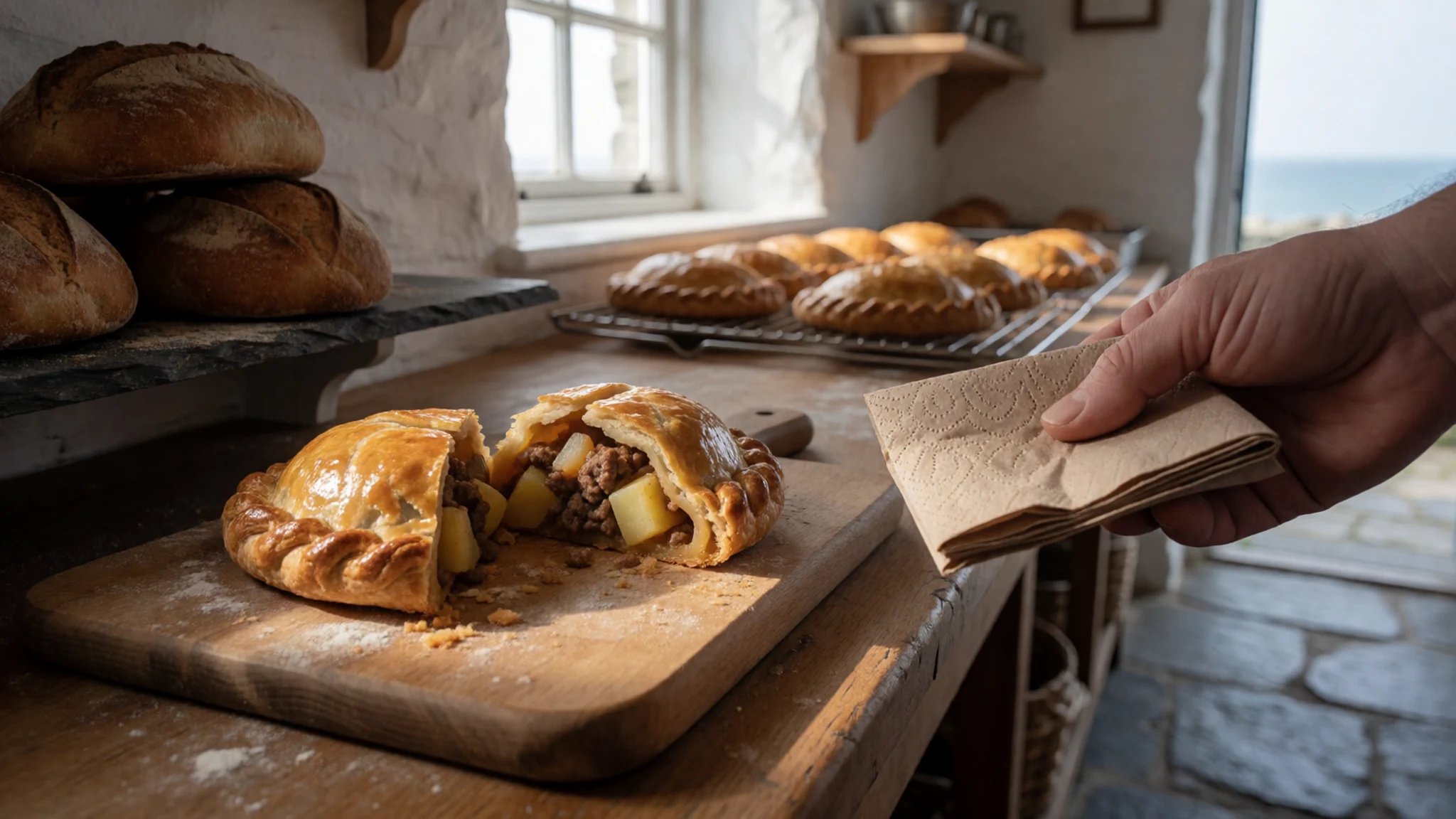
- Cullen skink — Harbour pubs and cafés on Scotland's east coast
A thick Scottish soup of smoked haddock, potato and onion, named after the town of Cullen on the north-east coast. It is warming on a cold day and very filling, usually served with bread. - Cawl and laverbread — Indoor markets and village pubs in Wales
Cawl is a Welsh lamb and vegetable broth, served in winter but available widely. Laverbread, a paste made from seaweed, is often fried with cockles and bacon for breakfast, and has an earthy, salty taste. - British cheese — Farmers' markets, cheese counters and country pubs
The island is known for cheddar, Wensleydale, Stilton and many smaller farm cheeses, plus rich butter and cream. A ploughman's lunch brings cheese with bread, pickle and salad, and is easy to find at a countryside pub.
Plan it
Best time. May to September is the best stretch for coasts and islands, with the longest days and the mildest weather. June and July are brightest but busiest, and August is peak school-holiday time with high demand. Spring and early autumn are quieter, though any month can bring rain and wind.
How long. 5–7
Getting there. Fly into London Heathrow, Manchester, Edinburgh or Glasgow, then continue by train, coach or hire car. England is linked to France by the Channel Tunnel, and rail runs to most coastal towns. The UK is outside the Schengen area, so check visa rules before you book.
Budget. mid
Tips
- Book accommodation for coastal towns and islands well ahead for July and August.
- Carry a waterproof layer and a warm top every day, even in summer.
- Check tide tables before walking on beaches or below cliffs.
- Cards and phone payments are widely accepted, but keep a little cash for small village stalls.
- Expect narrow roads on islands and in the west, and allow extra time.
Etiquette
- Queue in order at stops, counters and ferry ramps.
- Keep to marked paths on cliffs and dunes, and close farm gates behind you.
- Take litter home or use the bins provided.
Nearby
Sources
- Wikidata Q23666 (CC0)
- Wikipedia: Great Britain (rev 1381960424) (CC BY-SA 4.0)
- Wikivoyage: Great Britain (rev 5426745) (CC BY-SA 4.0)
- Satellite image of Great Britain and Northern Ireland in April 2002, Jacques Descloitres, MODIS Land Rapid Response Team, NASA/GSFC (Public domain)
- Ireland and the United Kingdom during a heat wave, Jeff Schmaltz, MODIS Land Rapid Response Team, NASA GSFC (Public domain)
- Statue of Pythéas, Rvalette (CC BY-SA 2.5)
- Map of the British Isles, Ptolemy (Public domain)
- Prima Europe tabula, Ptolemy (Public domain)
- Robin, Leighton Moss January 2009, Stephen Gidley (CC BY 2.5)
- Heather (Highlands), John Haslam (CC BY 2.5)
- Welcome to South Ayrshire, Billy McCrorie (CC BY-SA 2.0)


