Gordion
Gordion, Turkey
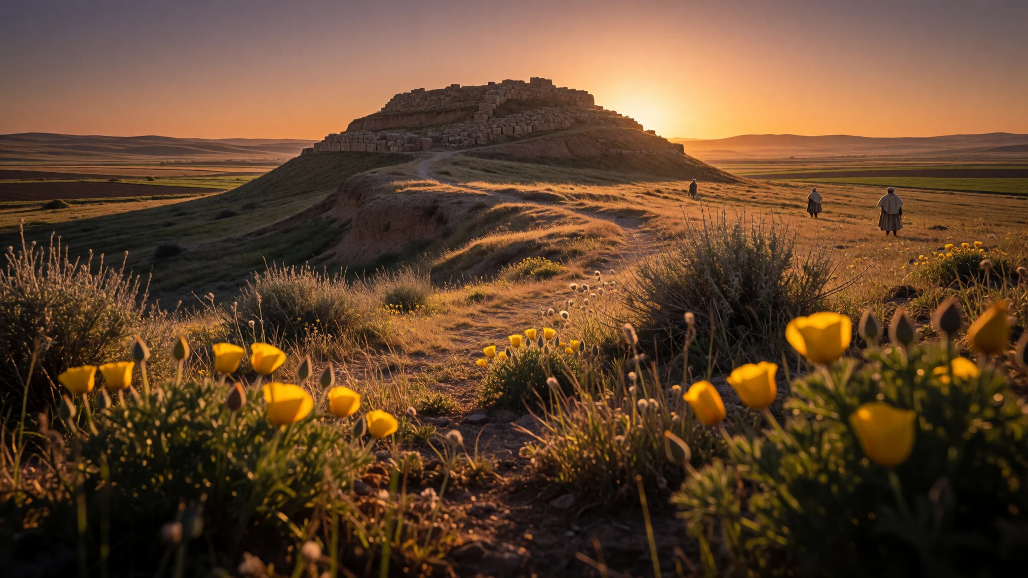
Gordion turns Phrygian history into landscape—citadel walls, tumuli and quiet earthworks spread out beyond the modern road.
The place
Gordion is an archaeological site that was once the capital city of ancient Phrygia, now tied to the modern area of Yassıhüyük near Polatlı. Standing here feels less like visiting a single “monument” and more like walking through layers of time: settlement mounds, the shape of older defences, and stretches of ground that have been reworked again and again.
Geographically, Gordion mattered. It sits by the confluence of two rivers—Sakarya and Porsuk—and along the crossing point of an ancient route that linked Lydia with Assyria/Babylonia. Even if today you’re surrounded by farmland and low hills, you can still sense why people kept returning: water, crossings, and productive land.
The site is associated with long occupation, starting in the Early Bronze Age and continuing through many phases, then later seeing renewed activity centuries after the original run. What draws most visitors is the Citadel Mound: a raised core where major construction projects shaped the skyline. Around it are the tumuli—elite burial mounds that give Gordion its unmistakable profile.
If you’re used to big, curated tourist ruins, Gordion is more open and more spread out. That’s a plus for quiet wandering, but it also means comfort planning matters: the site can feel exposed, and the “archaeology view” depends on weather and the light you catch across the mound and burial grounds.
Its story
Gordion’s story is a long argument between geography and politics. The core of the settlement sat beside the Sakarya, and the river’s own shifting course is part of the backdrop: in antiquity it lay to one side of the Citadel Mound, then later moved so the flow ended up on the other side. Changes like that don’t just alter the map; they affect farming land, movement and how communities choose where to build.
The early centuries bring a rhythm of “connections” rather than isolation. In the Bronze Age, Gordion shared material patterns with communities across a wide region, and later moved into a zone of influence connected to the Hittites, with administrative seals attested on-site. Late Bronze Age phases placed Gordion on the western edge of Hittite territory.
In the Early Iron Age, the tone changes. Architecture and everyday objects differ from what came before, and the links hinted in the record suggest an influx of people from the Balkans—often discussed alongside the emergence of the Phrygians. Once the Early Phrygian period arrives, the citadel becomes an engineering project: monumental building work includes a circuit wall and a gate complex. The East Citadel Gate still reads as a statement piece in the landscape, preserved to a height that makes it easy to picture how power was projected through walls.
Over time, Gordion’s importance doesn’t vanish all at once. It suffered a major destruction event around 800 BCE, then was rebuilt, and later the site’s role shifted as larger powers changed the balance across the region. Even today, the tumuli keep the memory of elite burial practice visible—earth mounds that turn history into something you can walk around.
What to see
- Gordion (citadel and ruins) — Gordion site / Yassıhüyük area
Gordion is the main archaeological area, where visitors can look over the settlement remains tied to Phrygian and earlier phases. The Citadel Mound dominates the view, and the broader site gives context for how a capital controlled space around it.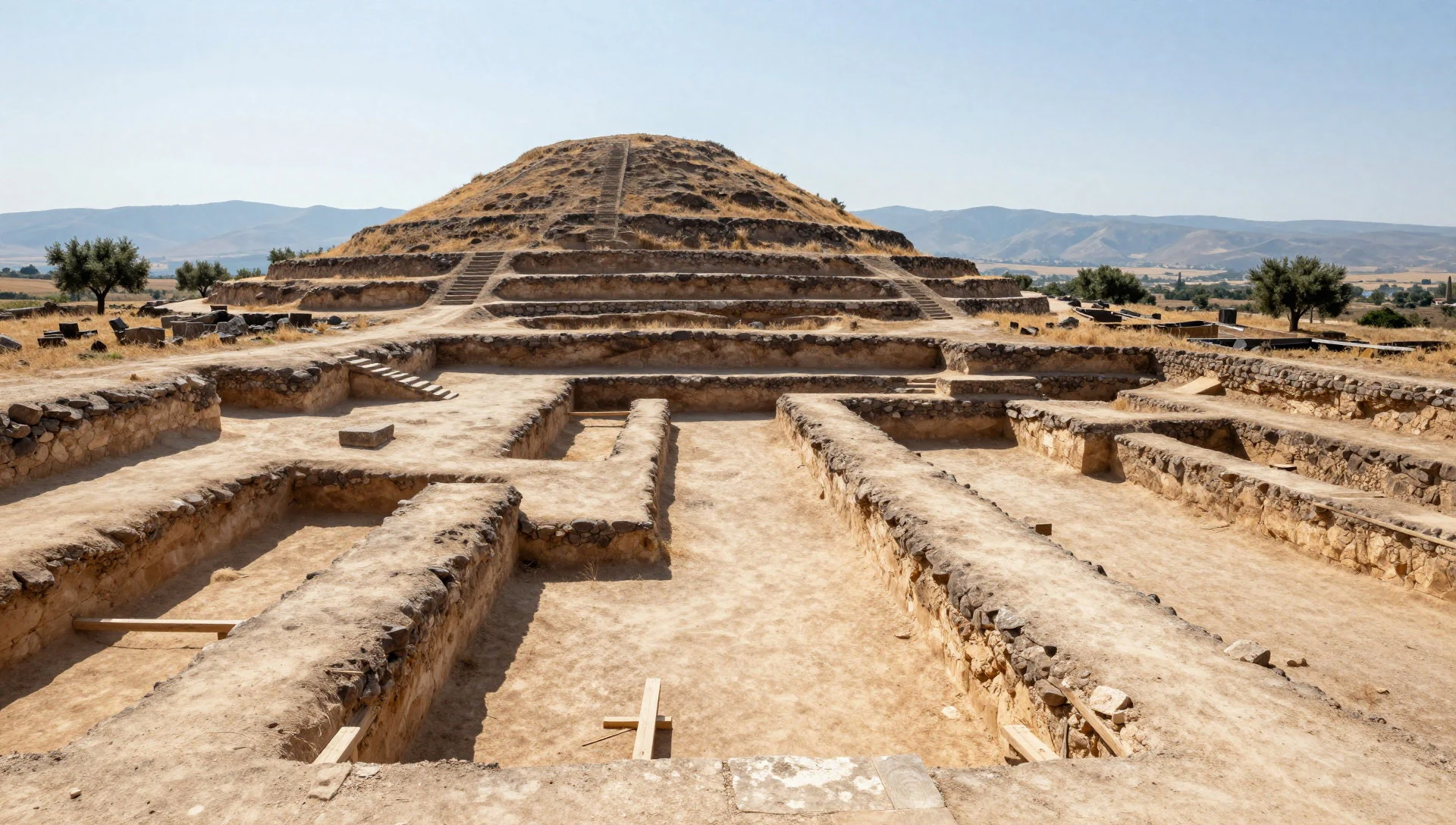
- Early Phrygian East Gate viewpoint — Citadel Gate area
The Early Phrygian East Citadel Gate is the sort of ruin that lets you imagine entrances and processions. From the right angles, you can frame the gate opening with the mound beyond and get a clearer sense of the citadel’s defensive layout.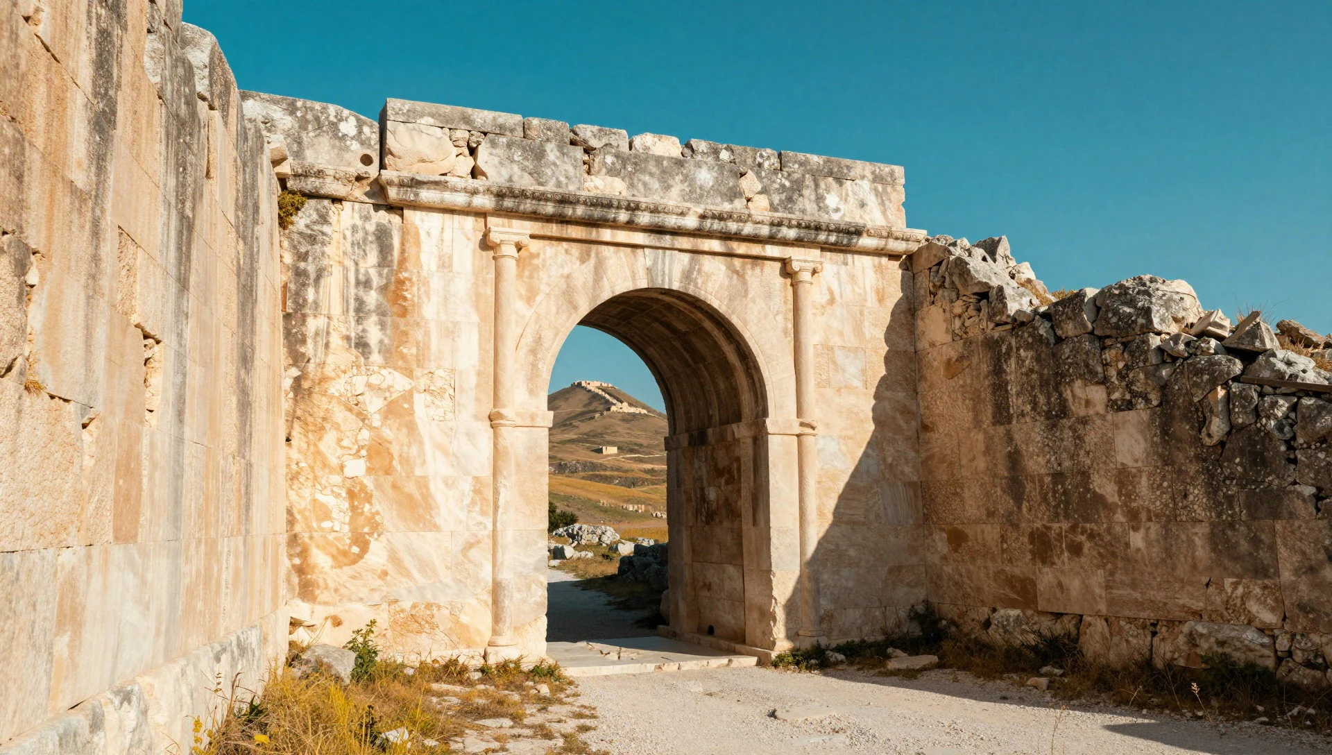
- Tumulus MM and Tumulus P — Tumulus fields at Gordion
The burial grounds are what many people come for: tumuli that mark elite monumentality in the Iron Age. Walking between the mounds feels open and quiet, with long sightlines across the site rather than tight museum display spaces.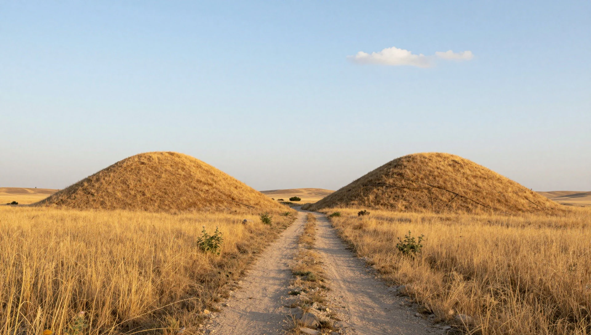
- Citadel Mound from above (balloon-style views) — Citadel Mound area
If you like understanding ruins as patterns, the Citadel Mound seen from the air helps. It makes the rise of the citadel and the spread of surrounding habitation easier to visualise—especially when the light is kind and shadows define contours.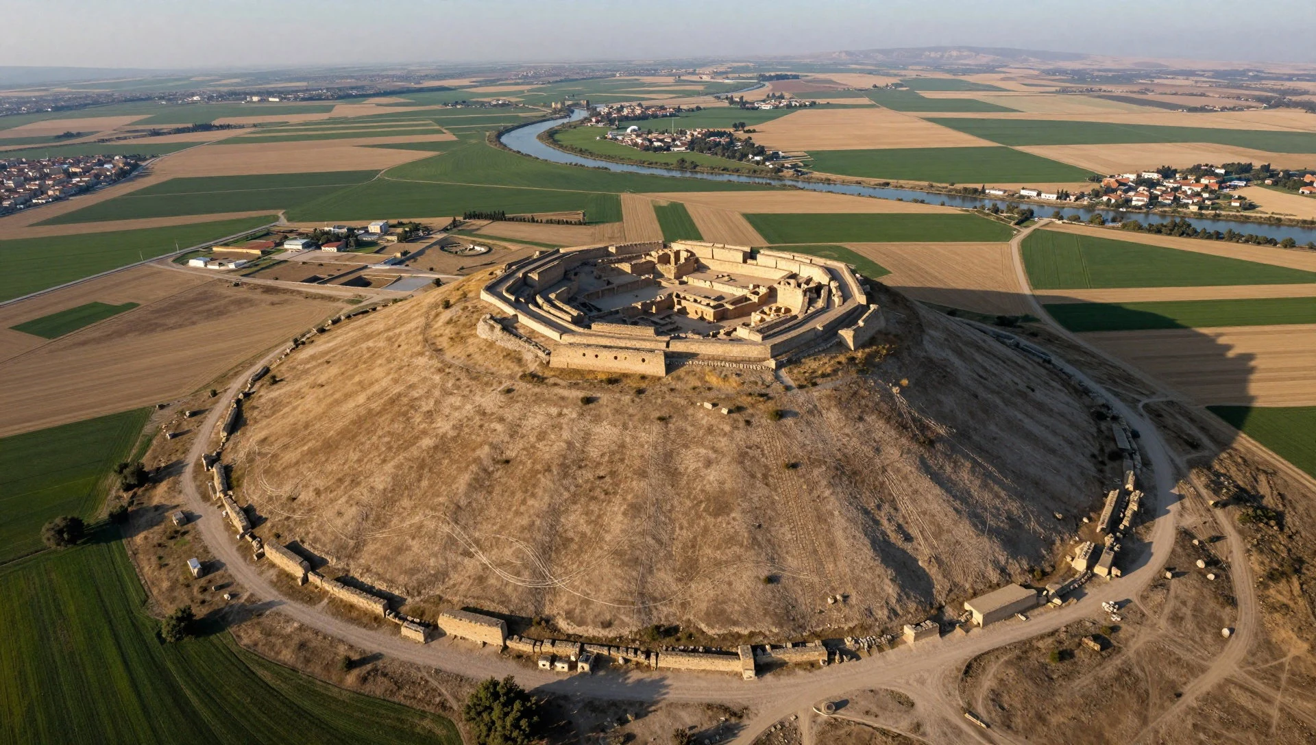
- Museum-like moments on the broader route — Polatlı district
For a change of pace, nearby war-memory stops around Polatlı help you pass time between visits: monuments with small exhibition spaces and documentation tied to battle history. They’re more about context than ancient Phrygia, but they break up a long day.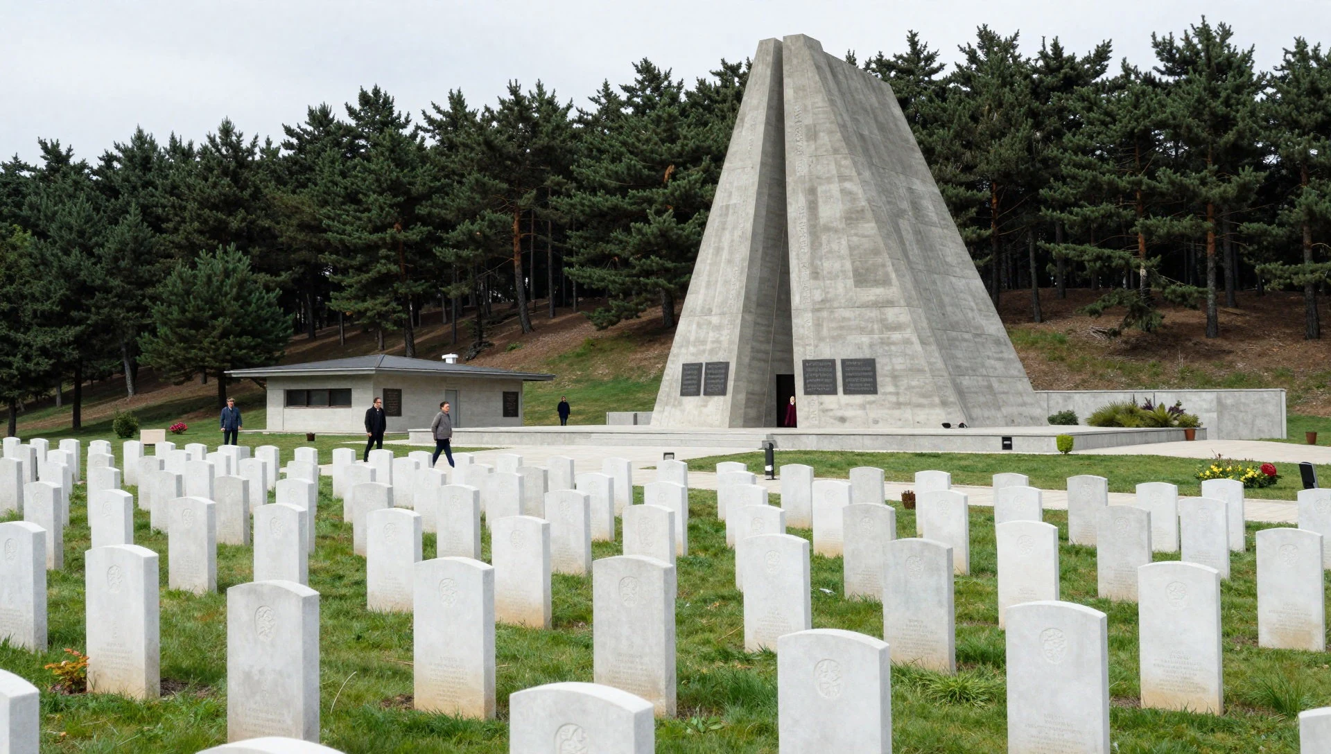
Culture
Gordion is an archaeological landscape, so “culture” here mostly means respectful behaviour around working or protected ground. The site can feel remote and spread out, which is great for walking slowly, but it also increases the temptation to wander off marked areas—try not to. Stick to the paths and viewpoints provided, and treat raised mounds and exposed earth like fragile evidence rather than open fields.
Because Gordion is outdoors, weather drives the day more than crowds do. In hotter months, the light can be harsh, and the ground can feel unforgiving; in cooler months, you’ll often have clearer visibility across the tumuli and the citadel. Plan for wind as well—this part of central Turkey can make your shaded rest spots feel temporary.
Photography is usually fine, but keep an eye out for any signage related to conservation work. If there are staff or guided groups, pause and let them move first rather than stepping into someone’s shot.
Visitor etiquette: stay on marked routes and don’t climb on tumuli or between excavated areas.
What to wear
Gordion’s setting is open, so dress decisions are mostly about heat control, sun protection and footwear. Traditional dress in central Anatolia varies by region, but when people wear it today it’s usually for local events and celebrations rather than everyday life in town. Look out for layered, modest outfits—often with a headscarf for women in more traditional settings, and heavier, textured fabrics that handle cooler evenings; the textiles tend to be colourful and patterned, and the cut usually favours long sleeves and coverage.
For visitors at Gordion, practical clothing wins. In warmer seasons, breathable layers and a light hat make the biggest difference, while a long-sleeved top helps with sun and dust. Even when the day feels mild, temperatures can shift as you move from shade to exposed mound edges, so a thin layer you can add or remove helps.
Footwear is the main non-negotiable: wear closed shoes with good grip. Uneven ground, gravel and the occasional loose surface around ruins mean flip-flops won’t feel safe or comfortable. If the visit includes any nearby memorial or museum-style stops around Polatlı, the same modest, covered approach keeps things simple.
What to eat
- Downtown small eateries — Downtown Polatlı
In Polatlı and nearby areas, the everyday food scene is built around small places near the centre. Think practical, quick meals rather than a single iconic “signature” restaurant—good for refuelling between sites.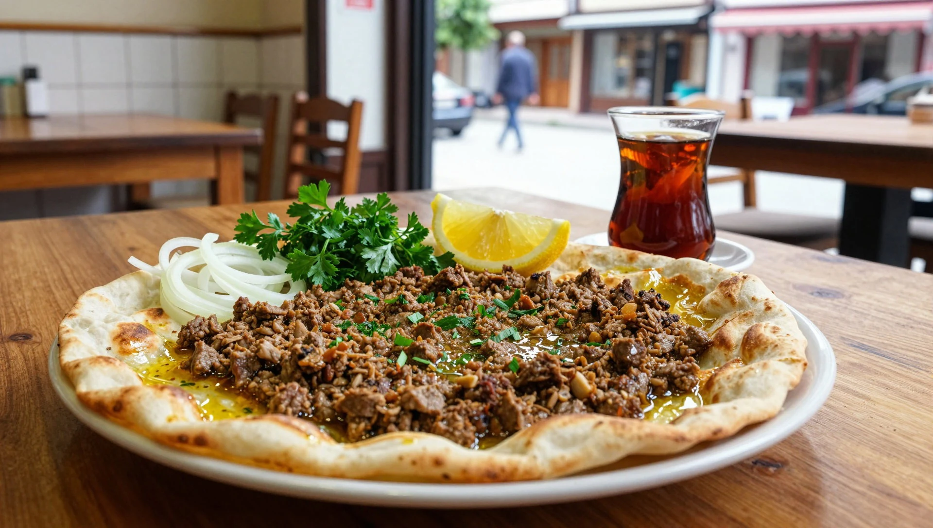
- Cafés (with occasional alcohol) — Town cafés in Polatlı
Cafés around town are handy for tea and lighter bites, especially when you want a pause in the midday heat. Some cafés may serve alcohol, but it’s not guaranteed like a dedicated pub.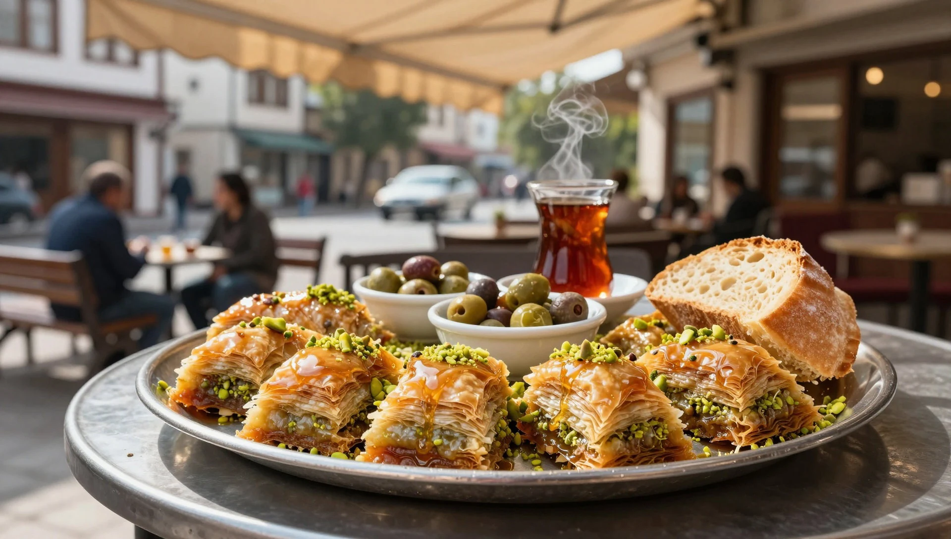
- Market snack runs — Local markets near Polatlı
For quick grabs, plan for small snack stops at local market stalls. This is a flexible way to keep your energy up on a walk-heavy day where you might not want a full sit-down meal every time. - Simple bread-and-salad plates — Casual eateries around Polatlı
When there isn’t a clear “standout” restaurant, Turkish comfort food still usually shows up in simple form: bread, salads and hearty mains that work well after a morning outdoors at the site. - Evening comfort meals — Near station and main roads in Polatlı
After a long day at an open-air ruin, evening meals are about warmth and ease. Choose somewhere close to your accommodation or transport hub so you’re not spending energy travelling when you’re tired.
Plan it
Best time. March–April and October–November for cooler, more comfortable conditions; winter feels calmer but can be dry and chilly, while summers are typically harsher in open landscapes.
How long. 2–3
Getting there. Use Ankara as the base. Polatlı is about 80 km southwest of Ankara and sits on D200/E90, then you travel the last leg by local road to the Gordion area around Yassıhüyük/Polatlı district.
Budget. mid
Tips
- Plan the main walk for earlier in the day to avoid the most exposed heat at the mound edges
- Build in time for the longer, spread-out feeling of an archaeological site—don’t overpack the itinerary
- Use Polatlı as your practical hub for transport and food between stops
- Carry water and sun protection; parts of the visit can feel very open
Etiquette
- Stay on marked routes and don’t climb on tumuli or move into excavated areas
- If there are staff or guided groups, let them work first before stepping into views
- Keep noise down in quieter sections—this is still an active protected landscape
Nearby
Sources
- Wikidata Q542854 (CC0)
- Wikipedia (Gordion) (CC BY-SA 4.0)
- Wikivoyage (Polatlı) (CC BY-SA 4.0)
- photos/01-ruins-of-gordion-3.jpg (CC BY 3.0)
- photos/02-gordion-early-phrygian-east-gate.jpg (CC BY-SA 4.0)
- photos/03-gordion-tumulus-mm-tumulus-p.jpg (CC BY-SA 4.0)
- photos/04-gordion-citadel-mound-aerial-overview-2017.jpg (CC BY-SA 4.0)
- photos/05-gordion-early-phrygian-east-citadel-gate-tumulus-w-2019.jpg (CC BY-SA 4.0)
- photos/06-gordion-citadel-mound-overview.jpg (CC BY-SA 4.0)
- photos/07-iron-age-gordion-overview-map.png (CC BY-SA 4.0)
- photos/08-gordion97.jpg (CC BY 3.0)
- Gutenberg (Gordion) (Public Domain)


