Goda Mountains
Goda Mountains, Djibouti
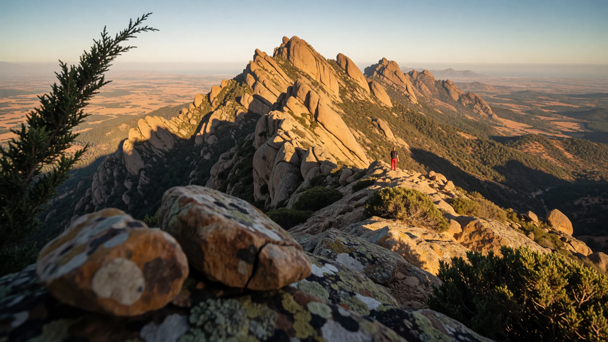
Goda Mountains blend forested ridges with big views, cooler air, and a rare sense of wilderness close to Djibouti’s Gulf.
The place
Goda Mountains sit in Djibouti’s Tadjoura Region, lying to the north-west of the Gulf of Tadjoura. They rise sharply from the surrounding low country, climbing to about 1,780 metres, so the weather can feel different within a short drive: warmer down in the valleys, cooler on higher slopes, and often mist where moisture lingers.
What makes the Goda Mountains stand out is the mix of vegetation and landforms. Parts of the range include forest, including a protected area inside the Day Forest National Park. On the ground, you notice it as a shift from semi-dry hills to stretches of greener cover that can look surprisingly “island-like” against the wider semi-desert character around. The name “Goda” comes from Afar, where it’s described as meaning “twisted” or “devoured”, and that word fits the sense of ridges and slopes that feel tangled rather than smooth.
Ecologically, the mountains are treated as an outlier connected to Ethiopian montane grasslands and woodlands—a pocket of higher-altitude habitat that persists because conditions at elevation (and the way moisture collects) can support plants even when rainfall is irregular. If you like landscapes you can actually walk through, and you’re the sort of traveller who enjoys clouds, fog, and changing light as much as sun, the Goda Mountains deliver—just plan around cooler nights and the possibility of fog.
Its story
In Goda Mountains, the “story” is written by altitude. The higher you go, the more the air seems to change its mood—less like heat and more like a cool, steadier clime that can keep vegetation going when the surrounding country turns dry. Fog can move in at the edges, and condensation can become noticeable, turning morning into a soft, grey start rather than a bright headline.
A day on these slopes often feels like following transitions: from open terrain to forest patches, from sunlit ridges to shaded gullies, and from clear viewpoints to moments where the horizon briefly disappears. Djibouti’s Tadjoura Region gives you the dramatic backdrop of a gulf nearby, yet up in the mountains the landscape can feel set apart, quieter and more enclosed.
The Day Forest National Park is the anchor for that experience. It’s where the forest element is protected, so you get a stronger sense of what “this place should look like” when the conditions allow trees and shrubs to survive. Even when your itinerary is short, you can feel the range’s logic: moisture, shelter, and elevation working together to create a greener island in a drier wider region.
Travel here rewards patience more than speed. It’s not the kind of destination where everything is staged and synchronised. Instead, the landscape changes on its own schedule—so the best moments come when plans leave room for clouds to clear, footsteps to slow, and time to notice how the ridges twist through the forest.
What to see
- Day Forest National Park
Day Forest National Park is where the Goda Mountains’ forest character is protected. Expect greener patches and a cooler, shaded feel compared with the surrounding hills, with trails and overlooks that let you read the terrain as you move between ridges and tree cover.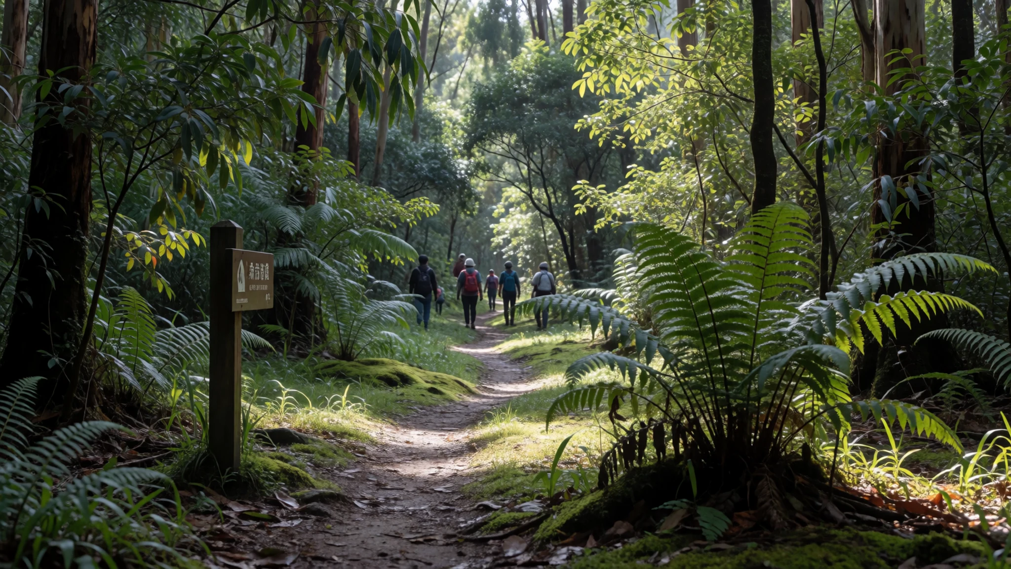
- Forested ridges and “twisted” slopes
Goda Mountains’ terrain is described through the Afar name “twisted” or “devoured”, and the slopes do feel tangled and broken rather than smooth. Walking the ridgelines gives frequent changes in direction, with tree cover appearing in some folds and thinning in others.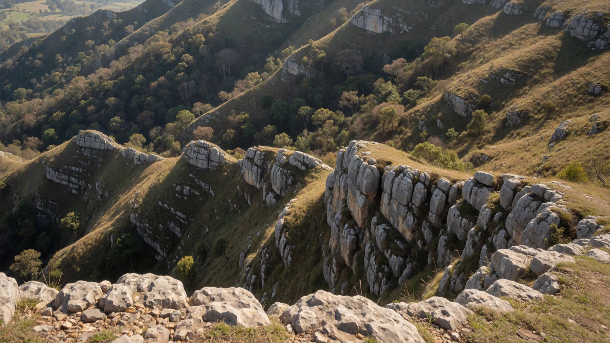
- Fog-and-condensation mornings
In the Goda Mountains, fog can be part of the daily rhythm, and condensation may be significant when it settles in. Look for muted light, drifting cloud at viewpoint edges, and the way leaves and stone catch moisture before the day warms up.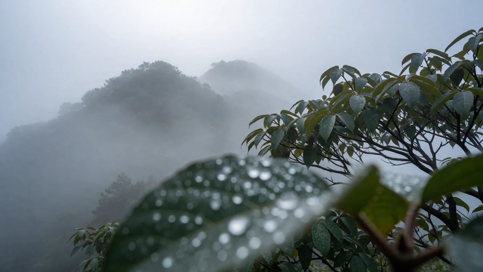
- Elevation temperature-shift viewpoints
Because elevation strongly affects temperature, the mountains can feel noticeably cooler higher up—up to around 11 °C compared with lower areas. This makes higher viewpoints good for a “temperature check” day: start cool, warm gradually, then reassess as fog lifts and air opens.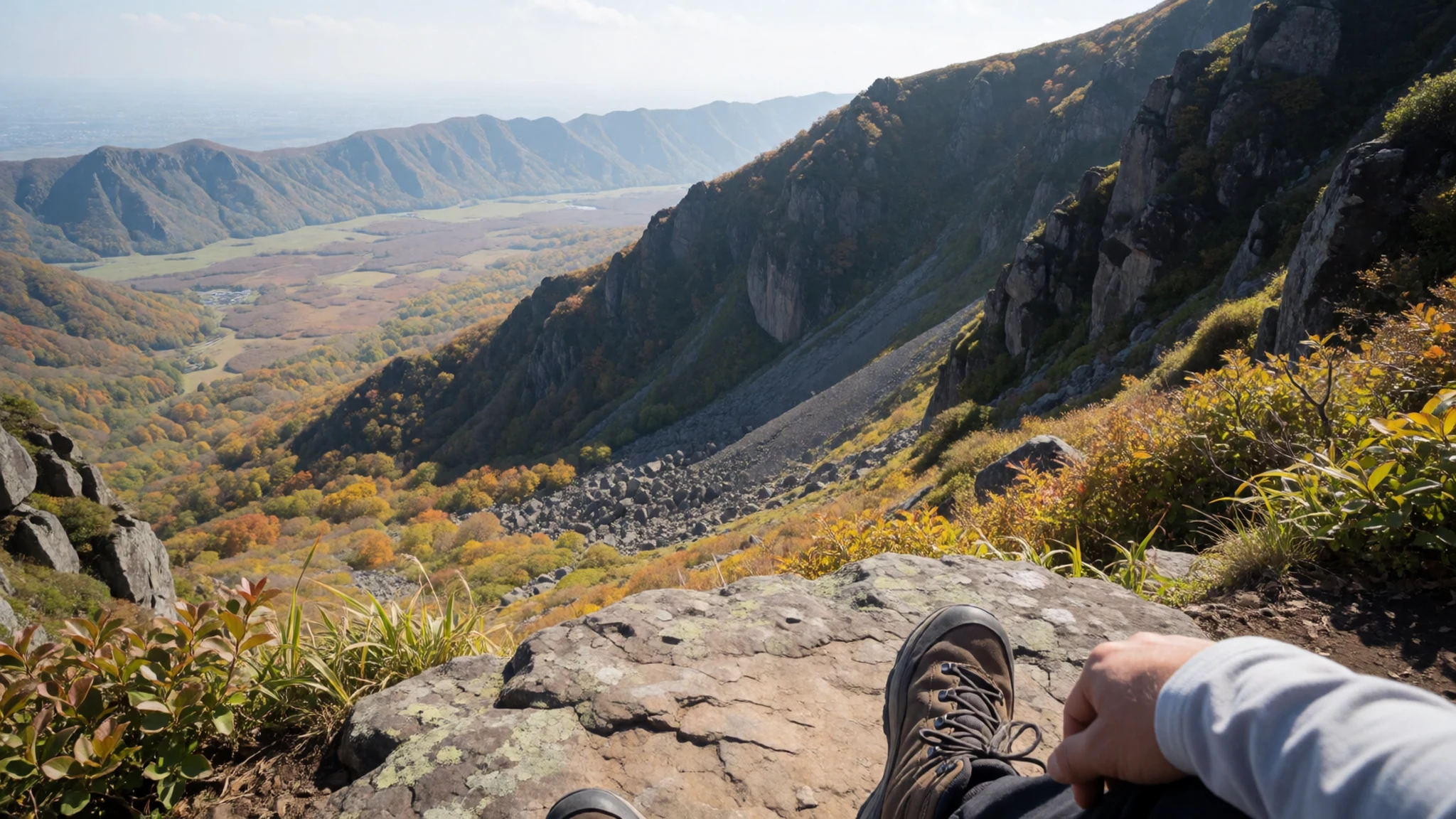
Culture
Goda Mountains are best approached as a natural landscape in Djibouti’s Tadjoura Region, not as a classic sightseeing “circuit”. The protected forest element inside Day Forest National Park helps set expectations: you’re visiting living habitat, where the day can shift quickly with fog and condensation. In practice, local guidance matters because routes, season conditions, and safe footing can vary from ridge to ridge.
You’ll also notice how language connects to land here: the name “Goda” is traced to Afar meanings of “twisted” or “devoured”, reflecting how people interpret the shape of ridges and slopes. That sense—of landscape as something to read, not just to photograph—shapes how travellers move through the mountains.
Keep your interactions low-key. Ask before entering more sensitive areas, move steadily and quietly, and avoid trampling undergrowth near tree cover. If you’re using a guide, listen for cues about weather changes and return timing; cold nights and mist can make things slower than expected.
Visitor etiquette: Dress for cool, misty weather and keep voices low in forested areas, especially near the protected sections where wildlife and plants are most vulnerable.
What to wear
In Goda Mountains, the key to dressing well is temperature swings. The range sits at high elevation (around 1,780 metres), so even when daytime feels manageable, evenings can turn cold quickly, and foggy mornings can make it feel sharper. Choose layers rather than one heavy item.
Traditional dress in Djibouti varies by community, but in this mountains-and-parks context the practical expectation is modesty and comfort around local life and possible forest paths. In everyday wear, you’ll typically see light-but-covered clothing for movement, with thicker layers added for cool air at elevation.
For visitors, think “day hiking plus weather protection”: breathable trousers, a long-sleeved top, and a warm mid-layer or fleece for the cooler periods. Bring a rain layer for unsettled weather, and sturdy closed-toe shoes with grip for uneven ground. If you plan to spend time at viewpoints, a hat or warm beanie helps because fog and cold air can linger near the trees and ridges.
What to eat
- Mountain-friendly rice and stew — Everyday restaurants and roadside eateries in and around Tadjoura Region
Expect filling, warm meals that travel well after a cool day—often rice paired with a hearty stew. In Djibouti, these are commonly served in simple restaurants and roadside eateries on route to and from the mountains.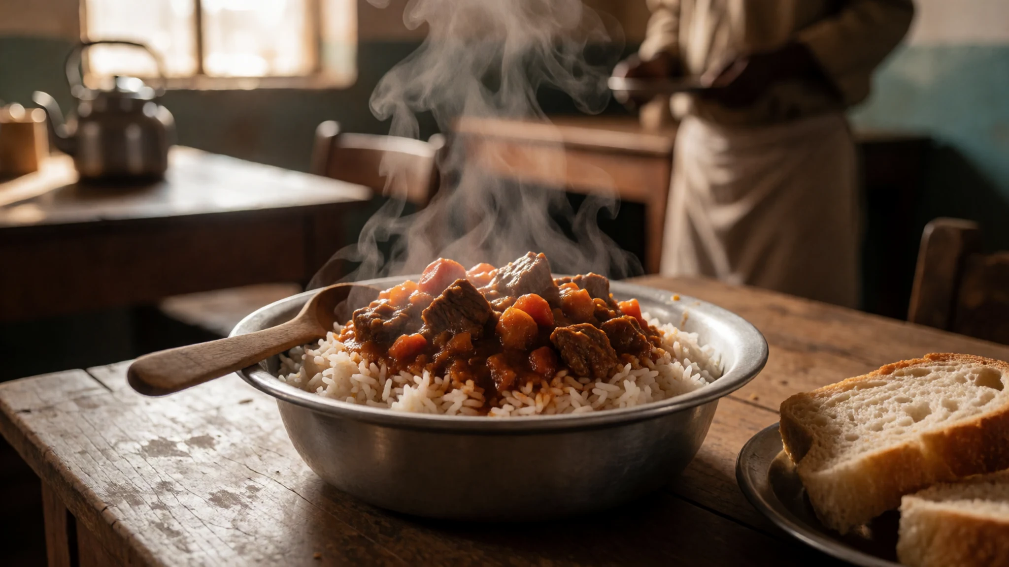
- Vegetable-based sides — Local markets and neighbourhood eateries
Seasonal vegetables show up as simple sides or mixed in with dishes, especially when market produce is available. These are usually easiest to find in local eateries that cook what’s on hand rather than a set menu year-round.
- Skewers and grilled meats (when available) — Busy town eateries and evening grills
Grilled skewers are a practical, crowd-pleasing option when you’re trying to eat quickly between excursions. Look for them at local dining spots where smoke and open grills signal what’s cooking. - Bread and savoury dips — Local cafes and eateries in nearby towns
You’ll often find flatbread served alongside savoury dips and spreads, good for breakfast or a light lunch before heading uphill. It’s the kind of meal that’s easy to keep comfortable in cool, damp mornings. - Fresh fruit and sweet drinks — Corner shops and small cafes near main roads
After time in fog and cooler air, a simple fruit portion or sweet drink can feel like the reset button. Availability depends on the season, but it’s commonly offered in local shops and small cafes.
Plan it
Best time. The warmest months are April to September, with April–May and again July–October bringing the heaviest rain; for milder hiking and more comfortable air, aim for June to August when days are warm but conditions are steadier, and for clearer, drier outings choose November and December when rainfall is low.
How long. 3–4
Getting there. Fly into Djibouti–Ambouli Airport, then make the last road legs with local transport and (ideally) a guide familiar with the Tadjoura Region mountain routes to reach the Day Forest National Park area.
Budget. mid
Tips
- Start early to catch the first clearer window before fog thickens at higher points
- Plan around slower walking in forested terrain; momentum drops with cool, damp conditions
- Carry water even if skies look grey—fog doesn’t remove the need to stay hydrated
- Ask your guide or local contacts about which ridges are passable that day
Etiquette
- Follow guidance near protected areas and avoid wandering off routes into denser forest
- Keep noise down in forest sections so wildlife disturbance stays minimal
- Dress modestly and keep shoulders and legs covered when passing through local settlements
Nearby
Sources
- Wikidata Q3323054 (CC0)
- Wikipedia (rev 1356121079) (CC BY-SA 4.0)
- Photo: Goda Mountains - National Park of Forêt du Day (CC BY 3.0)
- Wikivoyage: Goda Mountains (CC BY-SA 4.0)
