Etosha National Park
Etosha National Park, Namibia
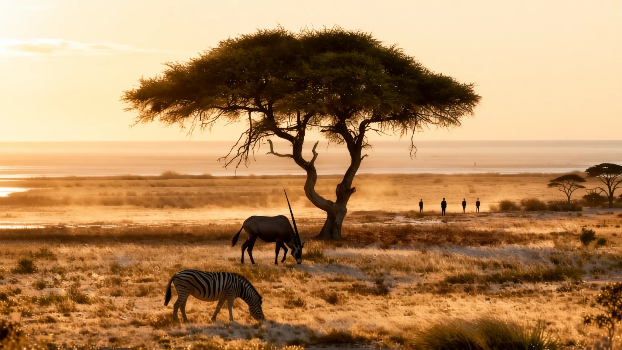
Etosha is where you go to watch big African wildlife gather at waterholes, with a vast white salt pan stretching to the horizon behind them.
The place
Etosha National Park sits in the north-west of Namibia, in the Kunene region, and covers roughly 22,000 square kilometres of bush, grassland and open plain. Its name comes from the enormous salt pan at its centre, which occupies close to a quarter of the park. Most of the year that pan is a dry, glittering crust that runs away into heat haze. Only after heavy summer rain does a shallow sheet of water form over parts of it, briefly drawing pelicans and flamingos from a long way off before the surface dries again.
Wildlife is the main reason people come. Animals are spread across the park, but they gather most reliably around the natural and artificial waterholes, especially in the dry months when water is scarce everywhere else. Hundreds of species of mammals, birds and reptiles live here. Several are threatened or endangered, including the black rhinoceros, which is still poached and needs close protection.
The park is organised around fenced rest camps, of which Okaukuejo, Halali and Namutoni are the main ones, alongside a few lodges. Each main camp has a floodlit waterhole just beyond its perimeter fence, so visitors can sit in relative safety and keep watching animals after the park roads close at sunset. Outside the camps, visitors stay in their vehicles.
The landscape rewards patience rather than lush scenery. Expect heat, dust and long stretches between water, and expect the best sightings in the early morning and late afternoon. Etosha suits people who enjoy slow game drives and open horizons more than those looking for dense forest.
Its story
Etosha was home to people long before it was a park. Ovambo communities lived north of the salt pan, and various Otjiherero-speaking groups lived just outside what later became the park boundary. The land close to the pan was the territory of the Hai||om, a Khoisan-speaking people whose hunter-gatherer life depended on the seasonal movement of wildlife and water across this terrain.
Europeans first recorded the pan in 1851. Charles John Andersson and Francis Galton were travelling with Ovambo copper ore traders when they reached Omutjamatunda, now called Namutoni, and then headed north and came upon the pan. Local people had known it for far longer. The name Etosha, spelled Etotha in early writing, is usually traced to an Oshindonga phrase meaning roughly great white place. The Hai||om had their own names for it, one describing a totally bare, dusty white expanse, and another that recalls the sound of feet crunching across its clay.
The area was proclaimed a game reserve in 1907 under the German colonial administration of South West Africa. Its status changed several times over the following decades, and it became a national park in 1967. In 1954, the Hai||om were forced out of the park. That ended their hunter-gatherer way of life, and many of them were left as landless farm labourers. They have had a recognised traditional authority since 2004, which helps them communicate with the Namibian government.
The park's history is therefore one of conservation for wildlife alongside the displacement of the people who knew this landscape best. That history is worth keeping in mind when you visit.
What to see
- The Etosha Pan — Southern edge of the pan
The pan is the defining sight of the park. For most of the year it looks like a flat, white plain running towards the horizon, and heat haze turns distant trees and animals into shimmering shapes. After good summer rain, shallow water can settle over parts of it and bring flamingos and pelicans. The viewpoints along its southern edge give some of the best wide views across the white expanse.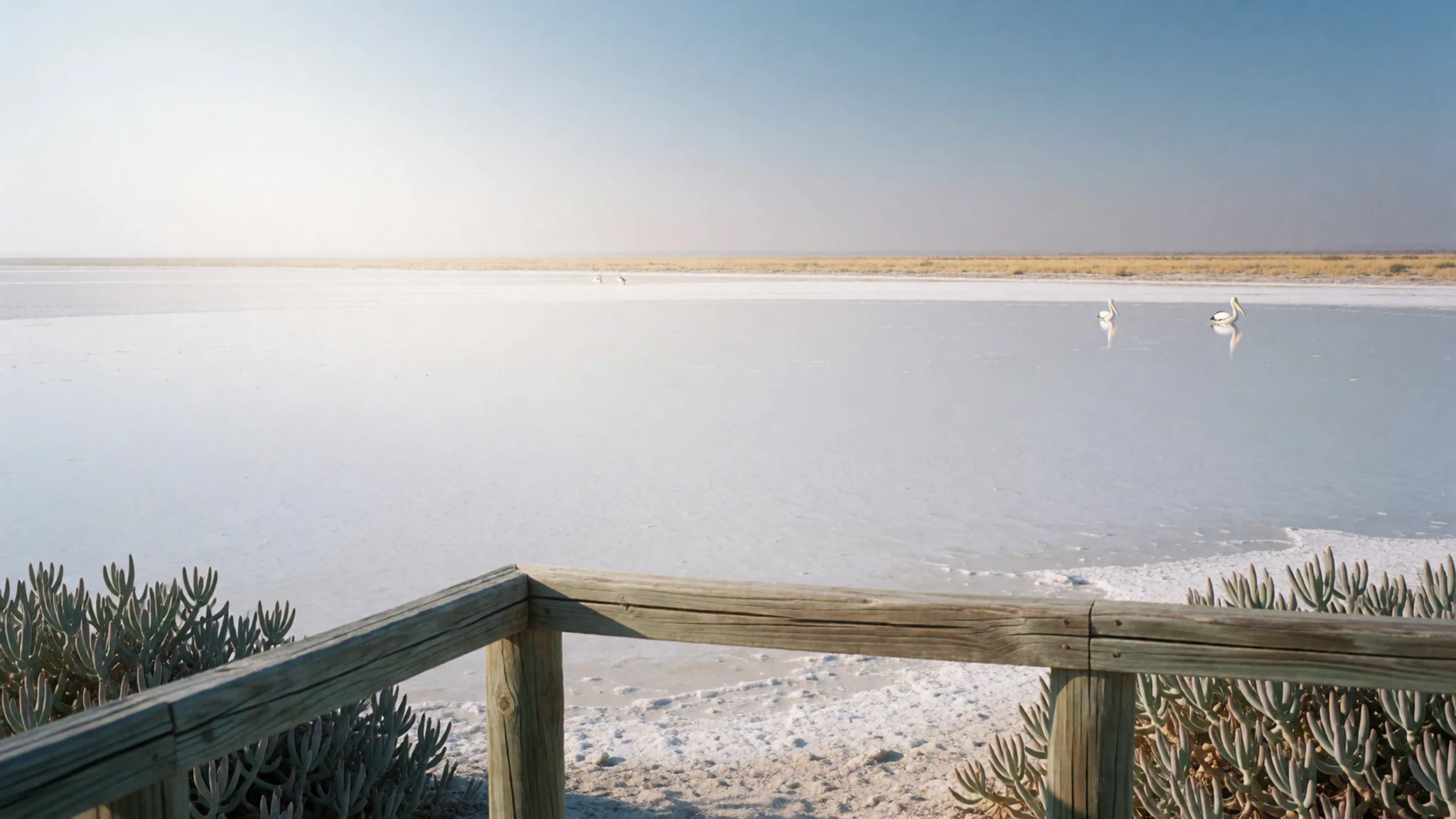
- Floodlit camp waterholes — Inside the main rest camps
The waterholes beside Okaukuejo, Halali and Namutoni are lit at night, so you can watch zebra, elephants, rhinos and predators come to drink. Viewing from a camp's fenced area is comfortable and safe. Arrive before dark and bring a warm layer, since desert nights cool quickly even in the hot season.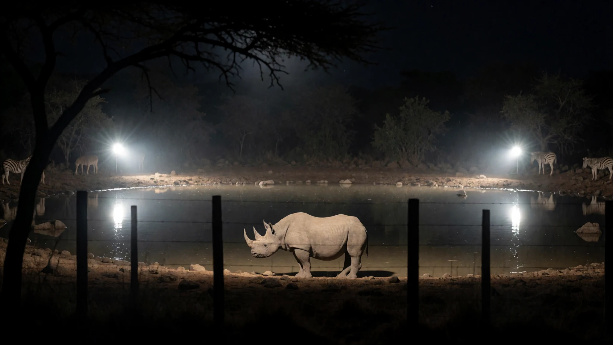
- Jakkalswater — Central-western park roads
Jakkalswater is one of the park's natural waterholes, and it regularly draws elephants, which is why it appears in so many visitors' photographs. Reaching it means a day drive on the park's gravel roads, so plan your route around the sunset closing time. The waterhole is best approached quietly, with the engine off once you are parked and in view.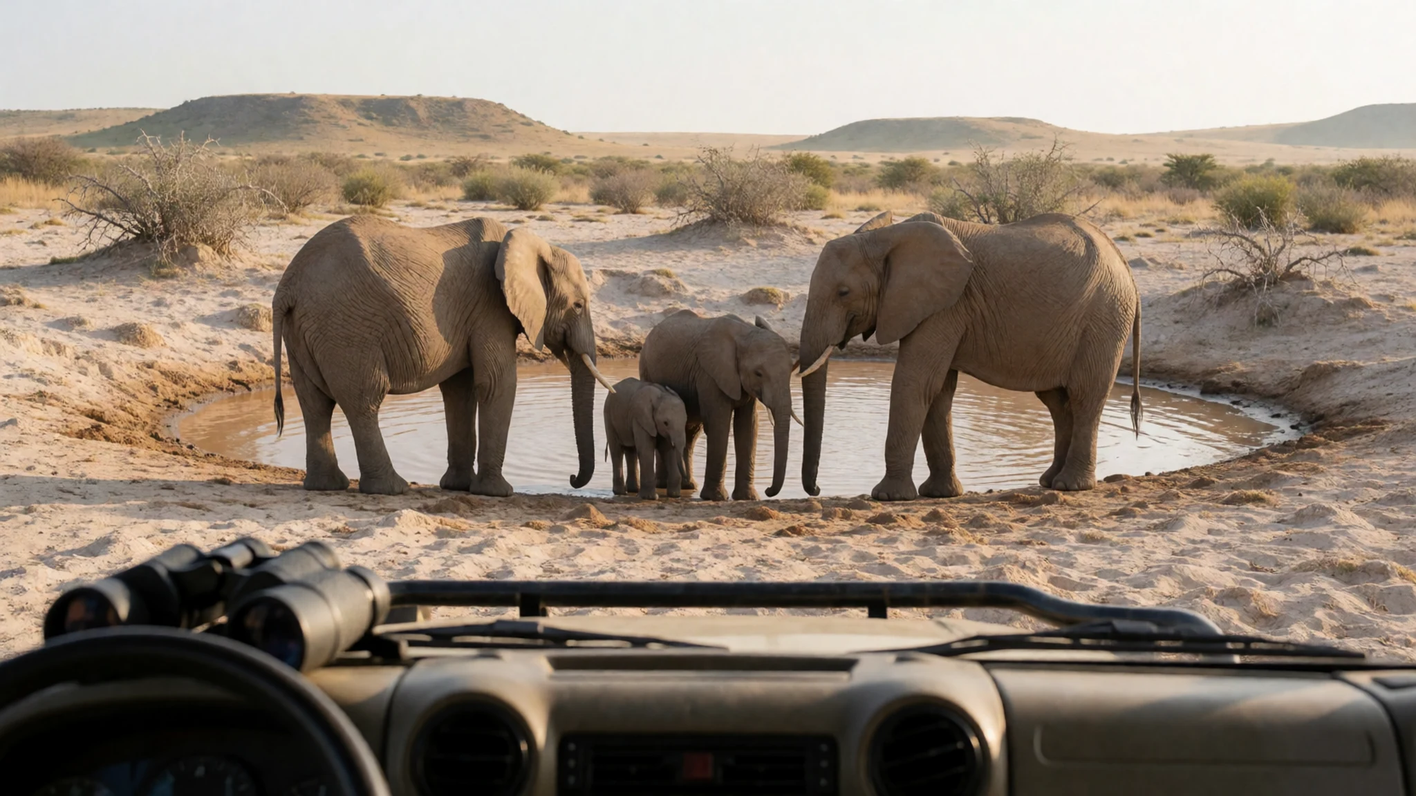
- Halali rest camp — Central park
Halali is one of the three main rest camps and has its own floodlit waterhole. It is a convenient base for day drives around the middle of the park, with a shop selling basic drinks and groceries. Restaurant and kiosk opening times follow mealtimes, so plan to eat when the kitchen is open rather than arriving mid-afternoon.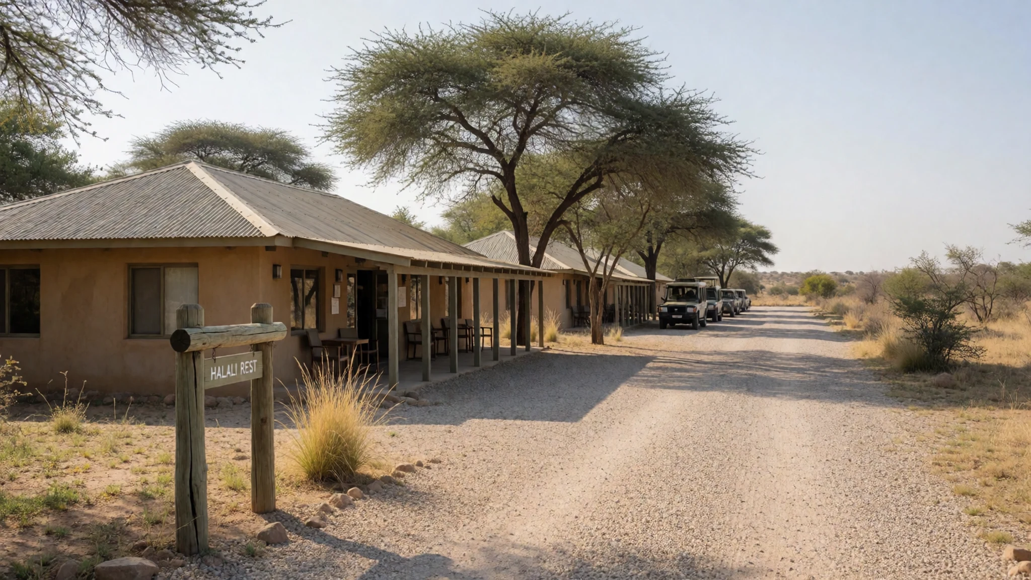
- Namutoni — Eastern gate
Namutoni is a rest camp near the eastern gate, reached by the B1 from Oshakati or Tsumeb. Its old German fort, a whitewashed building with a tower, still stands near the camp and recalls the colonial period of the park's early history. The camp bar, kiosk and shop are open to visitors, though prices are higher than in towns outside the park.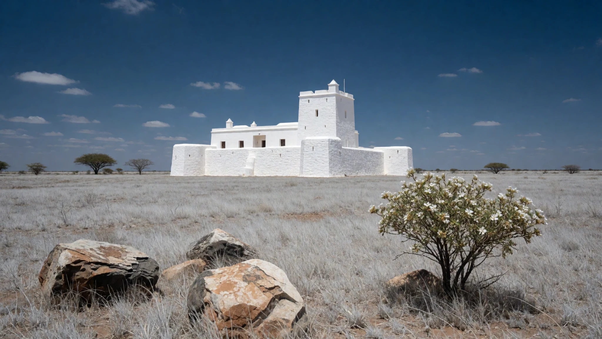
Culture
Etosha's culture is shaped less by ceremony than by a long history of land, people and conservation. The park is named after the salt pan, but the Hai||om people lived in and around this land for generations before they were removed in 1954, and their traditional authority has worked since 2004 to keep their community's voice in government discussions. Many visitors never hear about this, yet it sits behind every game drive. Respect for that history means treating the park as a shared inheritance, not only a wildlife show. Visitors should not expect to meet or photograph people in the park itself, and should ask before photographing anyone who lives or works near the gates or in nearby settlements. Keep voices low at the floodlit waterholes, because other guests are watching the same animals, and stay in your vehicle outside the fenced camp areas.
What to wear
The traditional dress of the peoples connected with Etosha is not something the park presents to visitors, so it helps to know a little of it before you go. Otjiherero-speaking women are widely known for long, full dresses with layered petticoats and a tall headdress, a style that developed in the nineteenth century and is still worn for ceremonies and cultural events. Textiles were typically heavy cottons, often in strong colours, and the clothing carries family and community identity. Among Ovambo communities, traditional wear uses cotton cloth, beadwork and leather, and varies by region and occasion.
What people wear now is mostly everyday clothing: jeans, shirts, work boots and school uniforms, with traditional dress reserved for weddings, funerals and celebrations. Nobody expects visitors to dress in traditional style, and shorts and T-shirts are normal around the camps.
For your own clothing, think about sun, dust and insects rather than fashion. Long-sleeved, loose cotton or linen shirts and light trousers protect against sun and mosquitoes. A wide-brimmed hat, sunglasses and closed walking shoes suit the camp paths and the open ground around the pan. Bring a fleece or light jacket for cool early mornings and evenings on the gravel roads.
What to eat
- Camp restaurant meals — Restaurants inside Okaukuejo, Halali and Namutoni
The restaurants in the main rest camps serve a simple set menu of hot meals. Choice is limited because the camp is effectively the only supplier, so the food is filling rather than memorable. Prices are higher than in towns outside the park, and the kitchen keeps mealtime hours, so plan your day around them.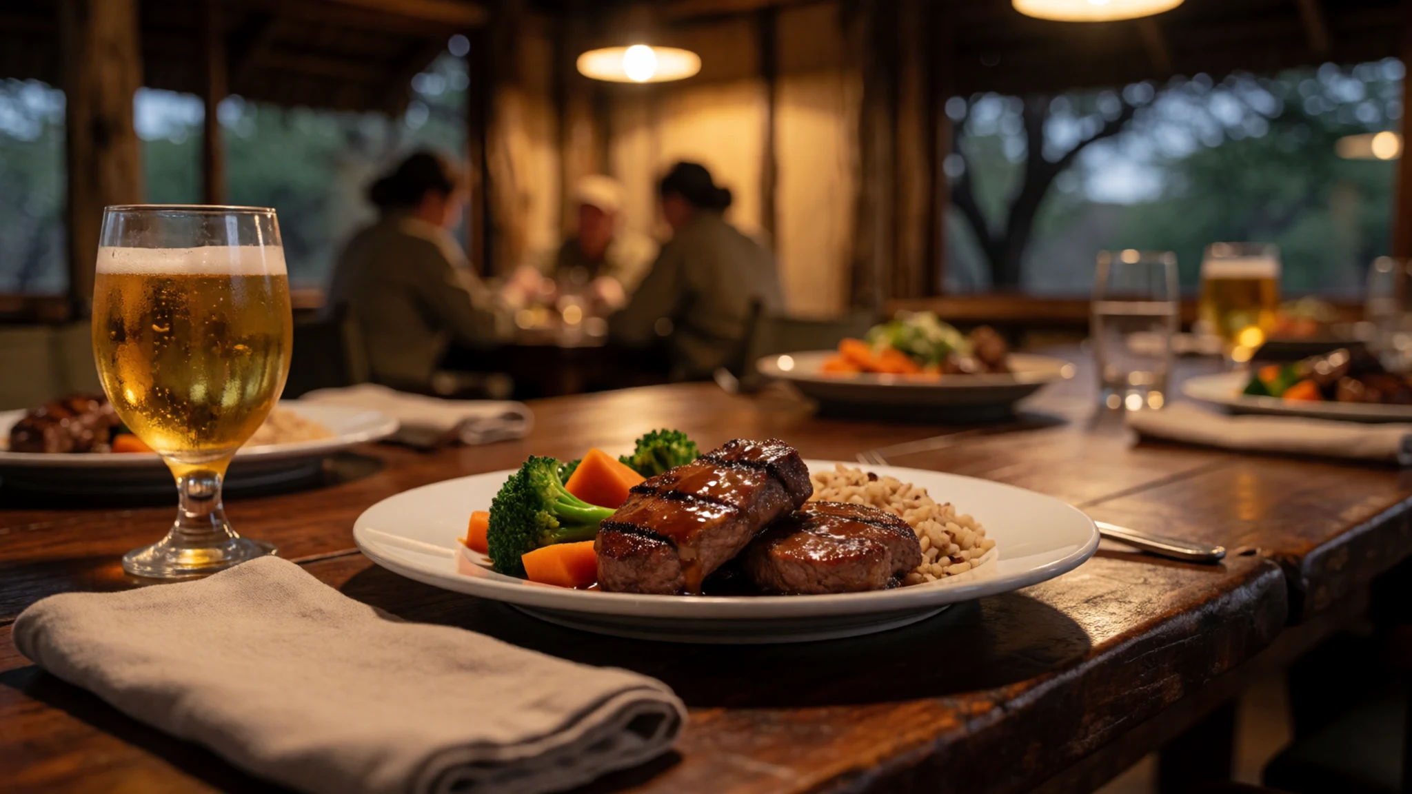
- Kiosk snacks — Kiosks at each main rest camp
Camp kiosks sell snacks, sandwiches and basic items for a quick lunch between game drives. They are handy when you return from a long morning drive and the restaurant is closed. Stock varies, so do not count on finding a particular item.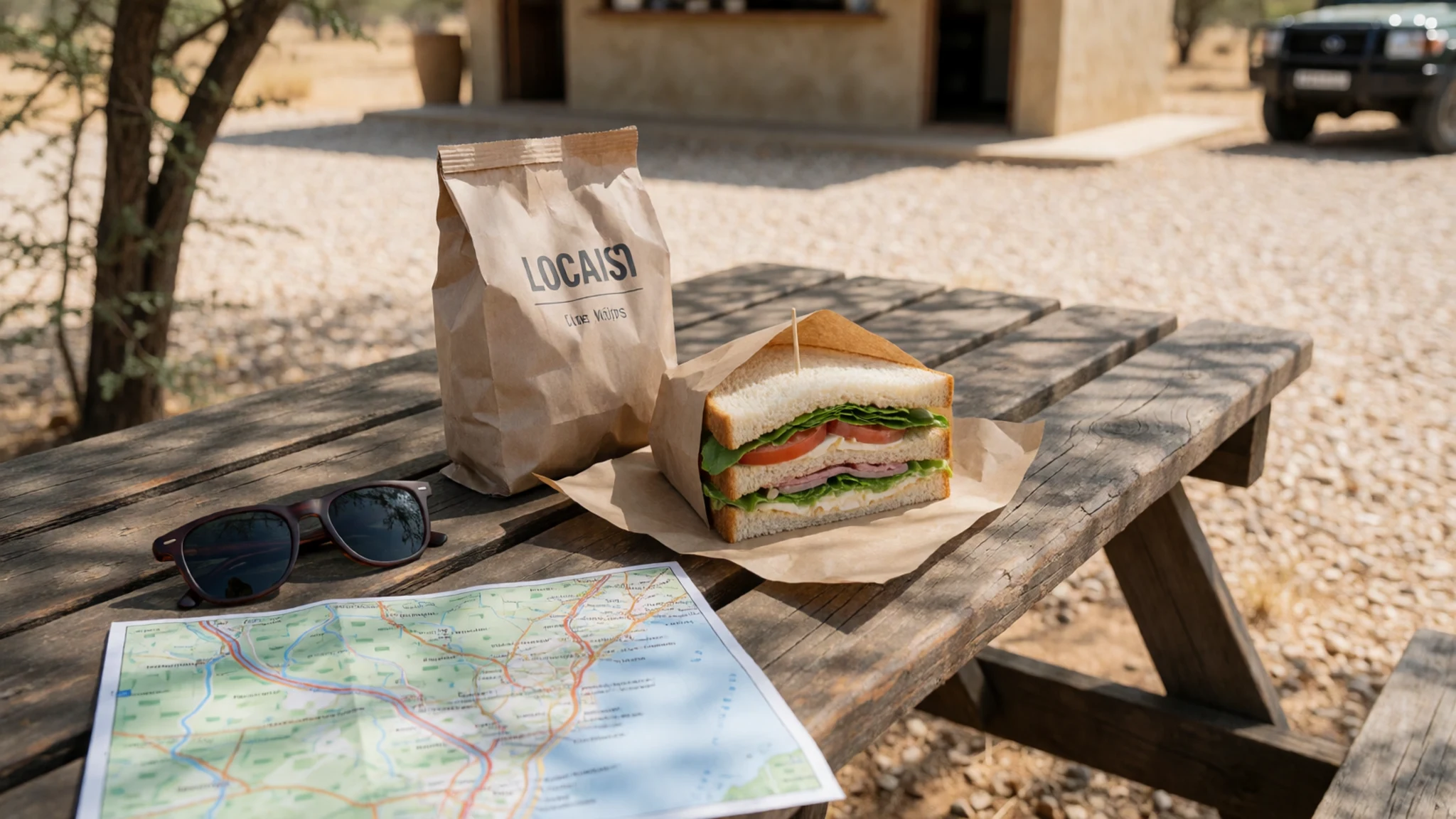
- Camp bar drinks — Camp bars and the Onkoshi restaurant and bar
Bars at Okaukuejo and Namutoni, and the combined restaurant and bar at Onkoshi, offer a selection of beer, wine, spirits, soft drinks, tea and coffee. Selection can be limited and prices are higher than outside the park. Tea and coffee are a good way to warm up after a cold dawn drive. - Supplies bought before you enter — Supermarkets in Outjo, Tsumeb or Grootfontein
Groceries and particular drinks are cheaper and easier to find in the towns on the approach routes. Outjo, Tsumeb, Grootfontein and other larger towns all have supermarkets. Buy water and snacks there before you enter the park, and ensure you take enough drinking water for each game drive.
Plan it
Best time. The dry season, roughly May to October, suits wildlife viewing best, because animals gather at the remaining waterholes and the bush is thinner. Summer rain can briefly fill parts of the pan, which is a rare treat, but it also makes some roads difficult.
How long. 3–4
Getting there. Most people drive or join a tour. Drive the B1 from Oshakati or Tsumeb to the eastern gate at Namutoni, or the C38 from Outjo to the southern gate. Charter flights can take you to a camp or lodge for day trips. Safari companies running tours from Windhoek and Swakopmund offer organised trips of varying length.
Budget. mid
Tips
- Check the official site for current camp bookings and park rules before you travel: http://www.etoshanationalpark.org
- Ensure you take ample drinking water for each game drive, particularly during the hot season.
- Plan to be back in camp before the park roads close at sunset.
- Buy drinks and groceries in Outjo, Tsumeb or Grootfontein before you enter, since camp prices are higher.
- Save the tow-out service and rest camp numbers before setting off, because some loop roads are lightly travelled.
Etiquette
- Stay in your vehicle except inside the fenced camp areas.
- Keep noise and lights low at the floodlit waterholes so other guests can watch the animals.
- Look out for animals before stepping out at the unfenced picnic spots.
Nearby
Sources
- Wikidata Q675633 (CC0)
- Wikipedia, Etosha National Park (rev 1375639531) (CC BY-SA 4.0)
- Wikivoyage, Etosha National Park (rev 5322220) (CC BY-SA 4.0)
- Zebras, Etosha National Park, Namibia (photo 01) (CC BY 3.0)
- Dust cloud at the Nebrownii waterhole (photo 02) (CC BY 3.0)
- Etosha salt pan broken during winter (photo 03) (CC BY-SA 4.0)
- Elephants at Jakkalswater (photo 04) (CC BY-SA 4.0)
- Satellite picture of Etosha with borders, roads and camps (photo 05) (Public domain)
- Map of Etosha National Park (photo 06) (Public domain)
- View of Namibia, ISS Expedition 18 (photo 07) (Public domain)
- Single camel thorn tree with plains zebra (photo 08) (CC BY-SA 4.0)


