Dholavira
Dholavira, India
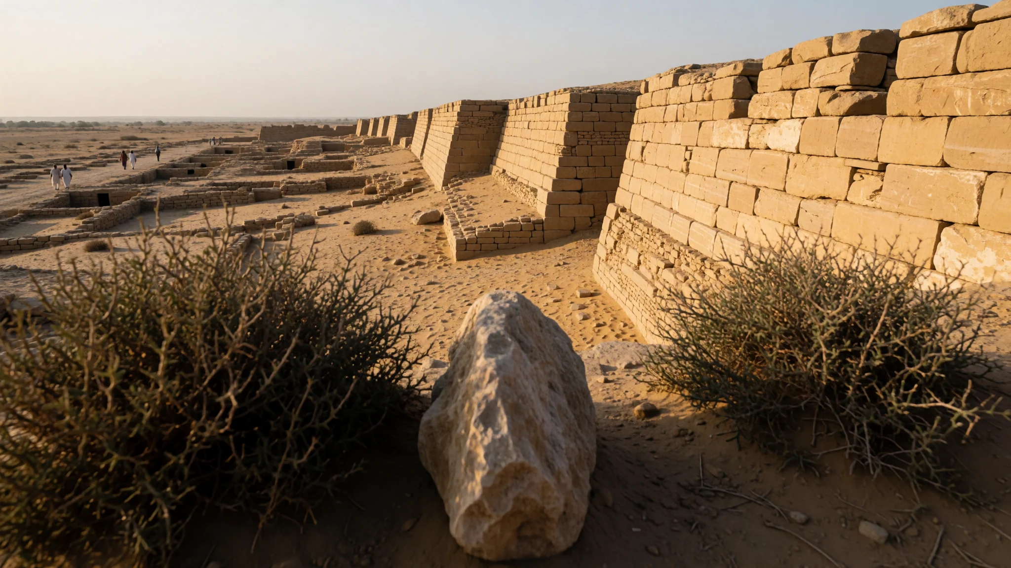
Dholavira is an Indus Valley city in the Kutch desert, where water engineering and stone ruins explain how people lived thousands of years ago.
The place
Dholavira (ધોળાવીરા) sits in Kutch, Gujarat—an archaeological site at Khadirbet in Bhachau Taluka, named for a nearby village about 1 kilometre south. It’s remote, arid, and visually stark: low structures spread across a desert plain, with the sense that the landscape is part of the story. The site preserves parts of a Harappan city of the Indus Valley Civilization, laid out between two seasonal streams (the Mansar to the north and Manhar to the south).
What makes Dholavira feel different from many “big ruins” is the way it connects city life to water. The settlement is known for an early water conservation system—channels, storage-like thinking, and a practical relationship with a landscape that doesn’t reliably give more than it must. Even when the ground looks empty, the layout reads like infrastructure.
Dholavira lies on the Tropic of Cancer and is surrounded by the Kutch Desert Wildlife Sanctuary and the Great Rann of Kutch, which means conditions can swing quickly between intense sun and cooler evenings. The site is large in scope and best taken slowly: walk between open areas, look for how parts of the city relate, then step into the small museum for context before heading back into the heat. As a UNESCO-listed Indus site, it also attracts visitors, but compared with other famous Harappan stops in India, crowds feel lighter and more spaced out.
If the day is scorching, shade and water matter. If the sky is clear, the ruins and the desert light together make Dholavira feel timeless.
Its story
Dholavira’s story begins long before the “Harappan” label people often associate with the Indus Valley Civilization. Archaeologists have discussed possible early occupation before the main Harappan era, then later phases that show continuity through changing periods, followed by decline and interruptions before later re-use. In other words, the site is less a single snapshot and more a long, uneven timeline of settlement.
The city was laid out as a quadrangular settlement across about 47 hectares, set between two seasonal watercourses. That location was not an aesthetic choice—it was a survival strategy. Dholavira is especially known for a water conservation system, and you feel it in the site planning: the city looks like it was designed for a dry reality, not a rainy fantasy.
Earth movements have also shaped the ruins. Records and research mention that earthquakes affected Dholavira repeatedly, including a particularly severe event around 2600 BCE. Even without dramatic “collapse” moments visible everywhere, the persistence of walls, platforms, and careful layouts hints at a place people kept returning to, repairing, and adapting.
Excavation history is much more recent than the ancient city itself. Indian archaeologists unearthed the site in 1967, and excavation efforts began only later, with ongoing work continuing to refine what researchers think about the settlement’s earliest start and its longer span. By the early 2020s, the site received global heritage recognition. Today, Dholavira stands as a tangible way to understand Indus planning: water management, urban form, and a long relationship between people and a tough landscape.
What to see
- Dholavira Archaeological Museum — Khadirbet (Bhachau Taluka), Kutch district
The museum is small, but it helps translate what’s scattered outside into something readable. It’s a good first stop so later walks around the ruins feel less like guessing and more like following a plan.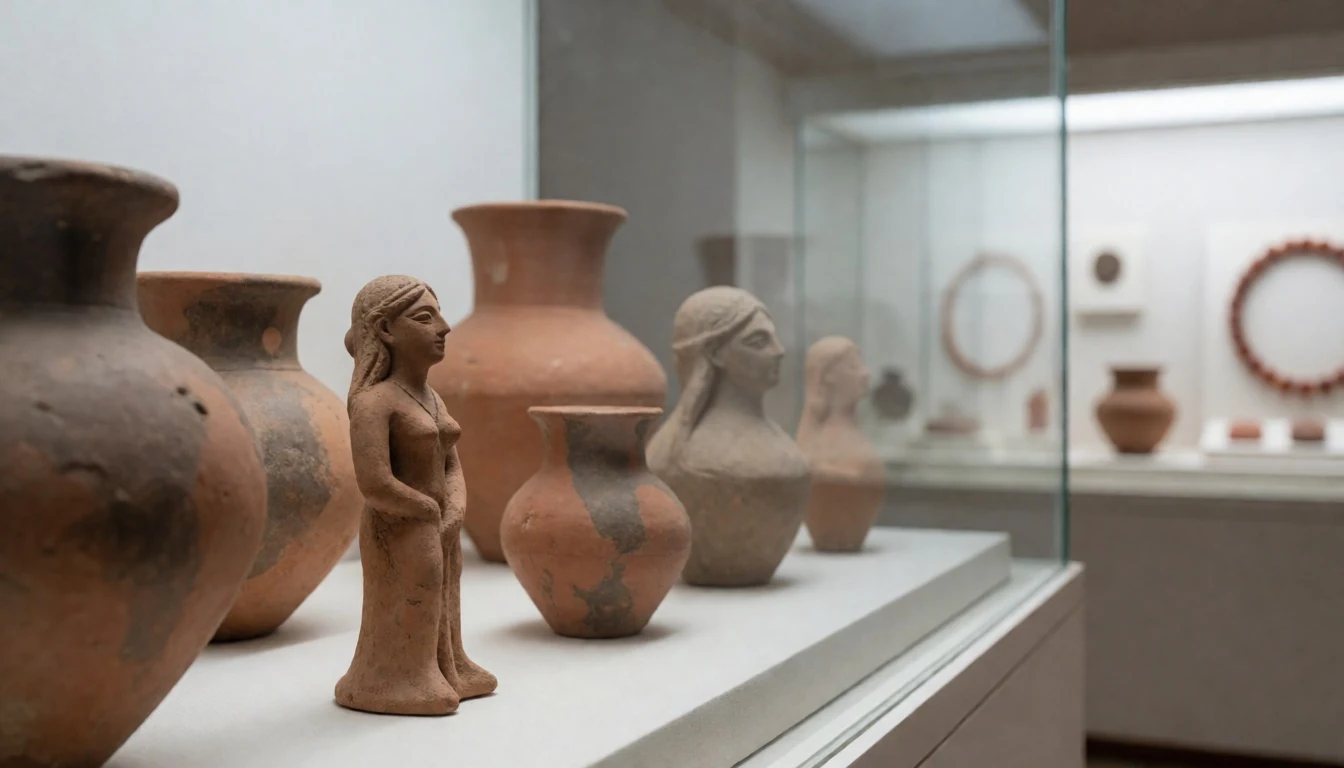
- Dholavira Archaeological Site — Khadirbet (Bhachau Taluka), Kutch district
The main ruins sit within the Harappan city layout at Khadirbet. Walk the open grounds and look for the city’s overall structure and the way water-related planning shows up across the settlement remains.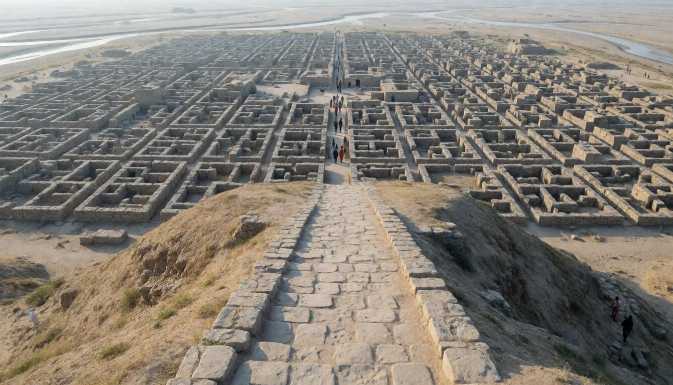
- Well and water-structure areas — Within the main archaeological grounds at Dholavira, Kutch
Dholavira’s water system is one of its signatures. Focus on the well and nearby water-structure remains to understand how the city managed scarcity—less “romantic relic”, more practical engineering.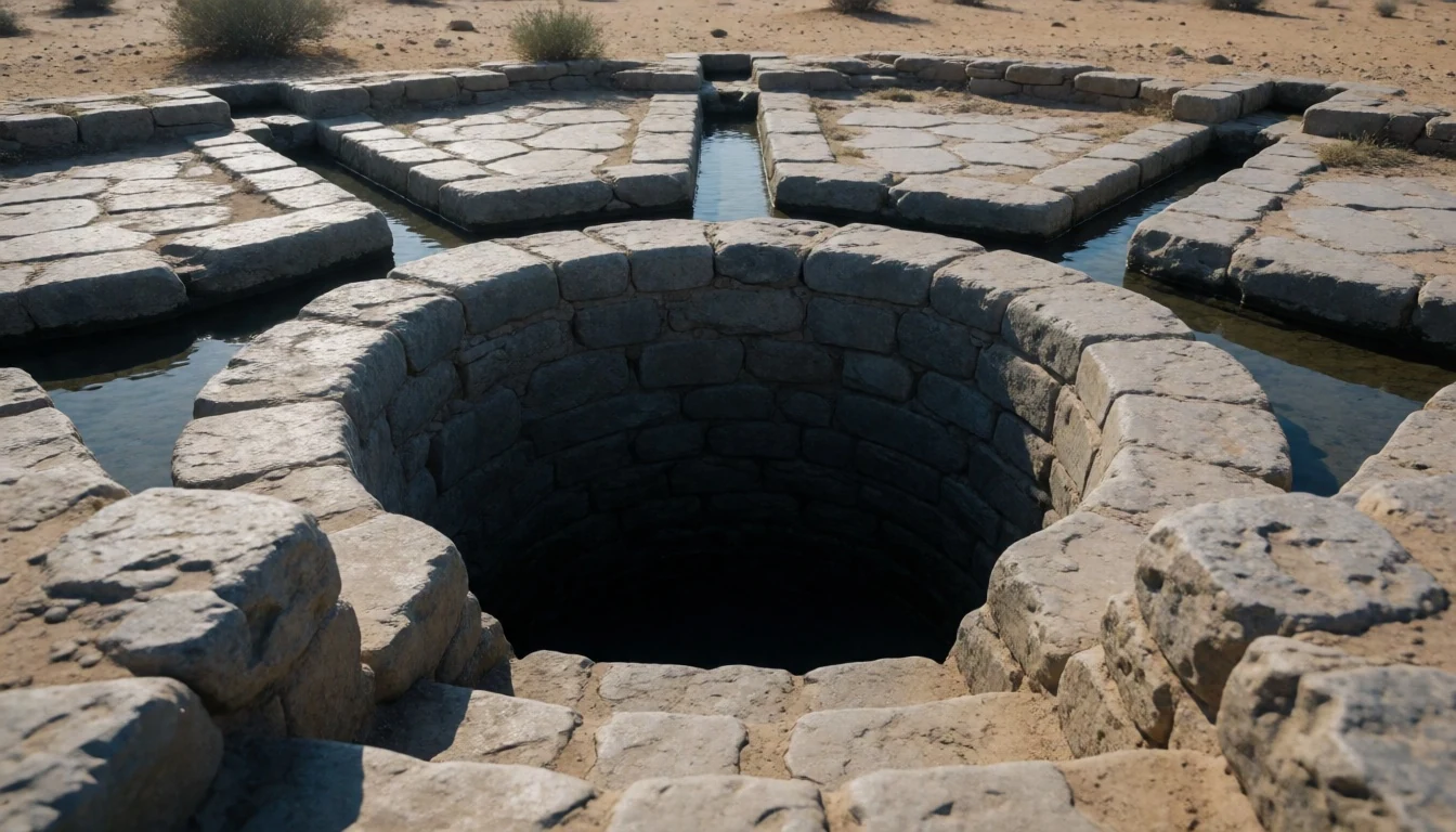
- Circular houses (bhungas-inspired forms) — Residential areas within the Dholavira archaeological site, Kutch
Circular structures are part of the site’s residential character. Standing near these layouts makes it easier to imagine everyday living—simple forms built for function, with central supports referenced by local house styles.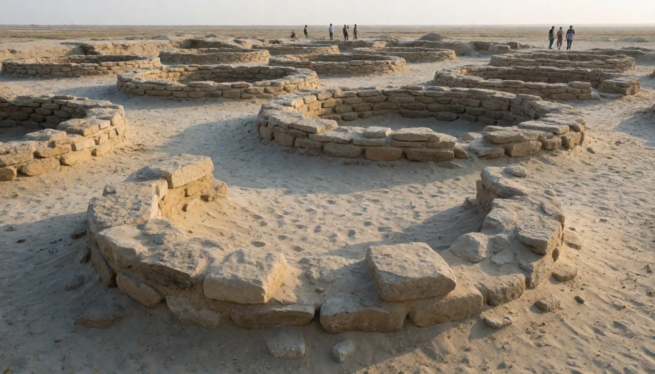
- Fossil Park (Great Runn views) — Outside the main site area, for Great Rann of Kutch views (Kutch district)
Fossil Park is a different kind of stop: old plant fossils, wide desert horizons, and a sunset-friendly flat expanse across the Great Rann of Kutch. Fossil Park is also the best nearby area to watch for flamingos when conditions are right.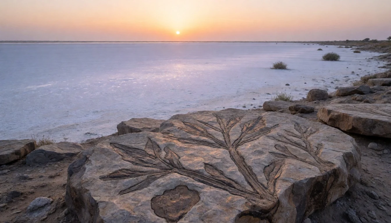
- Flamingo Lake — Kutch district near the checkdam-fed lake (seasonal access)
Flamingo Lake is seasonal and can look like an instant wetland when water levels rise. During the wettest months, plan for early timing, and be ready for a rough, unpaved-road approach.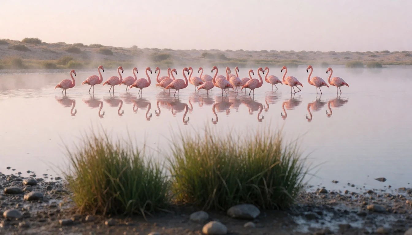
Culture
Dholavira doesn’t feel like a “lively village” stop; it feels like a heritage landscape. People visit to look closely—at city planning lines, at water-related remnants, at the way the desert frames everything—and the museum helps set that context before the walk. Because the place is remote, services are limited, so most travellers focus on getting the timing right: arriving when temperatures are manageable and moving slowly across open ground.
Respect is mostly about handling an archaeological site carefully. The ruins are fragile in the ways they can’t be “repaired quickly”, and it’s easy to lose yourself in photos and steps across uneven surfaces. Keep to marked paths where they exist, watch footing, and avoid touching exposed brickwork or stone.
Also remember that nearby wildlife areas are part of the experience. On days chasing flamingos, the main “culture of the place” is patience—seeing birds depends on season and weather, not on forcing it.
Visitor etiquette: stay on paths where possible, avoid touching ruins or water structures, and keep noise low around sensitive wildlife areas.
What to wear
Dholavira’s clothing choice is mainly about heat, sun, and dusty walking on uneven ground. Traditional dress in Gujarat is rooted in textiles—men often wear a dhoti or kurta with a turban or cap, and women commonly wear a saree or other draped garments made from breathable cotton or lightweight blends. In day-to-day life, many locals also wear salwar kameez or simple cotton outfits, especially in hot months.
For a visitor at Dholavira, practical clothing wins. Choose light-colour, loose-fitting cotton (or similar breathable fabric), long sleeves or a scarf to reduce sun exposure, and a brimmed hat or cap. Sunglasses help because the desert glare can be intense. Closed-toe footwear is the safest bet: the site involves walking over open, dusty stretches where flip-flops can slip.
If visiting in cooler months, a light layer helps for evenings. If combining the trip with flamingo spots, keep a weather-ready outer layer in the bag for sudden changes, but keep it compact—carrying heavy items across the Kutch terrain is tiring.
What to eat
- Gujarati thali — Toran Restaurant (Gujarat Tourism), near the visitor food area in the Dholavira area
At Dholavira, options are limited, but a Gujarati thali can be available from local eateries near the visitor area. It’s a straightforward way to eat without hunting around a remote area.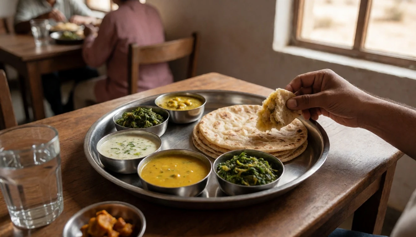
- Water to carry (bring your own) — On the trip to and around Dholavira (carry from Bhuj/nearby towns)
Food isn’t the only resource—Dholavira is remote, and the simple advice is to bring your own water. Plan for refill breaks only if you’re sure they’re available, because long stretches can mean no convenient shop stop.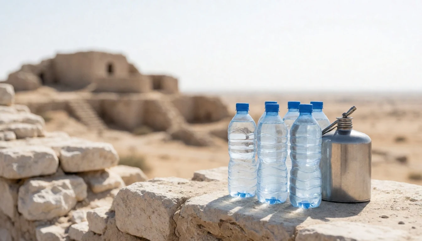
- Snack stop meals en route — Stops along the route between Bhuj and the Dholavira area, Kutch district
For shorter breaks on the way from Bhuj and nearby towns, look for simple roadside snack options: fruit, basic chai, and fast Gujarati snacks are easier to find than proper sit-down restaurants in small stops. - Local chai — Small eateries and chai stalls in Bhuj and other nearby towns before heading out
Chai is common across Gujarat, and it’s a good low-effort comfort when temperatures swing. It’s also a useful way to pause during a long day of sun-heavy walking.
Plan it
Best time. November through February for the most comfortable daytime temperatures for walking the open ruins; the hottest months are April and May, and the wettest period is June to September, when conditions can be harder for access.
How long. 2–3
Getting there. Fly into Bhuj (the closest airport, about 250 km southwest). From Bhuj, there is a bus leaving daily at 14:00 that reaches Dholavira at 20:30; alternatively hire a car or private driver for the last leg from Bhuj to Khadirbet.
Budget. mid
Tips
- Start early in the day to avoid peak sun across the open archaeological grounds.
- Carry more water than feels necessary—Dholavira is remote and heat can build quickly.
- Keep the museum visit for before the longer walks, so the layout makes sense when you’re out in the ruins.
- If aiming for flamingos at Flamingo Lake, plan around the wet months when water levels rise, and be prepared for a dusty, unpaved road approach.
- Bring a light layer for evenings near the Great Rann, where conditions can feel cooler after sunset.
Etiquette
- Stay on marked paths and avoid climbing or touching exposed archaeological structures.
- Keep noise down around wildlife-viewing areas and give animals space.
- In dusty areas, cover up properly and use a face covering if needed rather than coughing or spitting in open spaces.
Nearby
Sources
- Wikidata Q668 (CC0)
- Wikipedia (Dholavira, rev 1380144703) (CC BY-SA 4.0)
- Wikivoyage (Dholavira, rev 5334929) (CC BY-SA 4.0)
- Photo photos/01-dholavira-gujarat.jpg (CC BY 3.0)
- Photo photos/02-dholavira-site-24.jpg (CC BY-SA 4.0)
- Photo photos/03-well-at-ancient-harappan-city-of-dholavira.jpg (CC BY-SA 4.0)
- Photo photos/04-cicular-houses-dholavira.jpg (CC BY-SA 4.0)
- Photo photos/05-dholavira-1.jpg (CC BY-SA 4.0)
- Photo photos/06-beads-found-from-harappan-site.jpg (CC BY-SA 4.0)
- Photo photos/07-earthen-vessels-from-harappan-civilization-site-dholavira.jpg (CC BY-SA 4.0)
- Photo photos/08-female-figurine-1-mature-harappan-period-indus-civilization.jpg (CC0 1.0)


