Cotopaxi
Cotopaxi, Ecuador
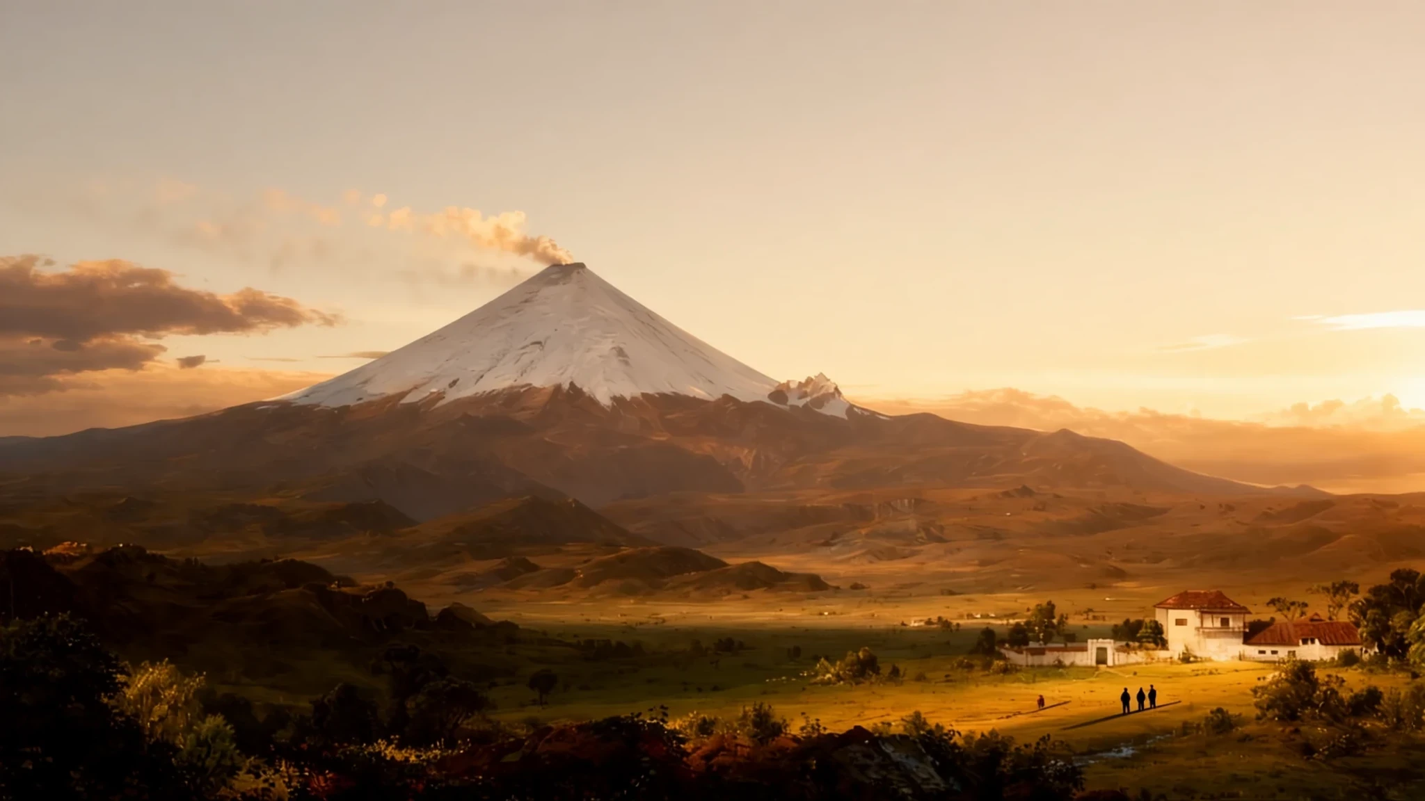
Stand before one of the planet's highest active volcanoes, whose near-perfect snow-capped cone dominates the sweeping Andean plateau.
The place
Cotopaxi rises as an extraordinary stratovolcano within the highlands of Ecuador, anchored inside a dedicated national park. Its nearly symmetrical cone commands attention from distant urban skylines on clear days, anchoring a vast high-altitude plain that stretches across the Andes. As part of the global Pacific Ring of Fire, the peak reaches toward the sky with an equatorial glacier system clinging to its upper heights. The vast base of the volcano spreads across the landscape, ringed by ancient valleys formed by historic mudflows and shifting volcanic activity.
The surrounding park terrain shifts from windswept paramo grassland to rugged volcanic ash fields and quiet glacial lagoons. Wildlife adapts to the thin mountain air, where hawks and occasional condors glide above the open plains. Weather shifts rapidly across the slopes, bringing intense sunshine one moment and sudden mists or high-altitude winds the next. Visitors crossing the park traverse a dramatic landscape shaped entirely by fire, ice, and geological upheaval over millennia.
Its story
Long before written records, indigenous communities speaking Quechua revered the mountain as a sacred entity. Local tradition interpreted the name through ancestral roots meaning neck and moon, reflecting how the crater's crescent silhouette resembles the lunar cycle. The summit was honoured as a powerful rain-sender that guaranteed earthly fertility, while the high peak itself was treated as a dwelling place for ancestral deities.
Following Spanish colonisation, the volcano recorded numerous eruptions that repeatedly reshaped the surrounding valleys and nearby settlements. Historic outbursts sent torrential mudflows down the mountain slopes, profoundly altering regional geography. Scientific observers have documented its restless seismic nature across centuries, noting periods of intense subterranean rumblings and ash emissions. Despite its volatile temperament, the mountain remains a profound symbol of the Andean highlands, carrying deep cultural resonance for local communities who live within sight of its formidable summit.
What to see
- Cotopaxi Museum and Visitor Center — Cotopaxi National Park entrance area
An introductory stop featuring mounted specimens of regional wildlife, including an Andean condor, alongside detailed relief maps explaining the complex geology and history of the surrounding park.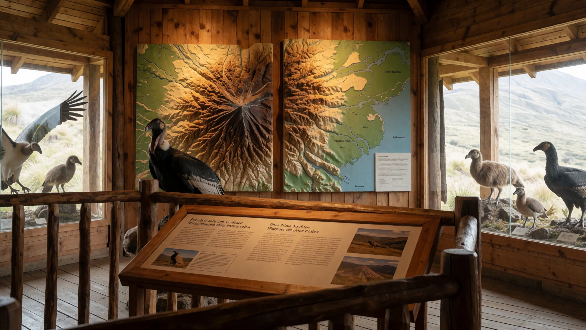
- Limpiopungo Lagoon — National park plateau
A wide glacial expanse cradled by the surrounding terrain, offering calm waters that reflect the snowy peak on clear days and serving as a gathering spot for highland waterfowl.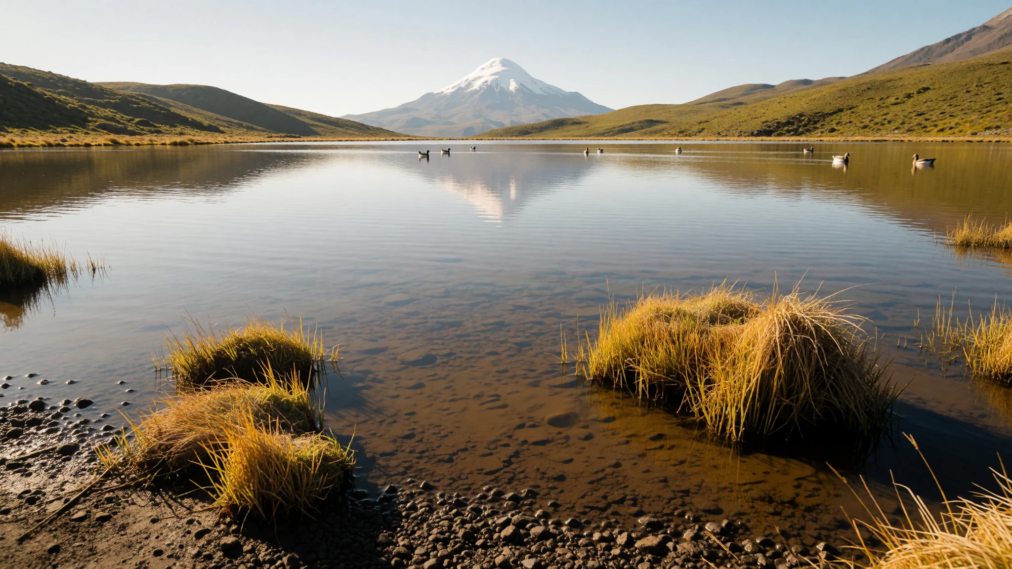
- Inca Ruins — Park interior highlands
The archaeological remains of an ancient mountain stronghold once utilised by imperial armies to monitor trade routes and passage across the high Andean valleys.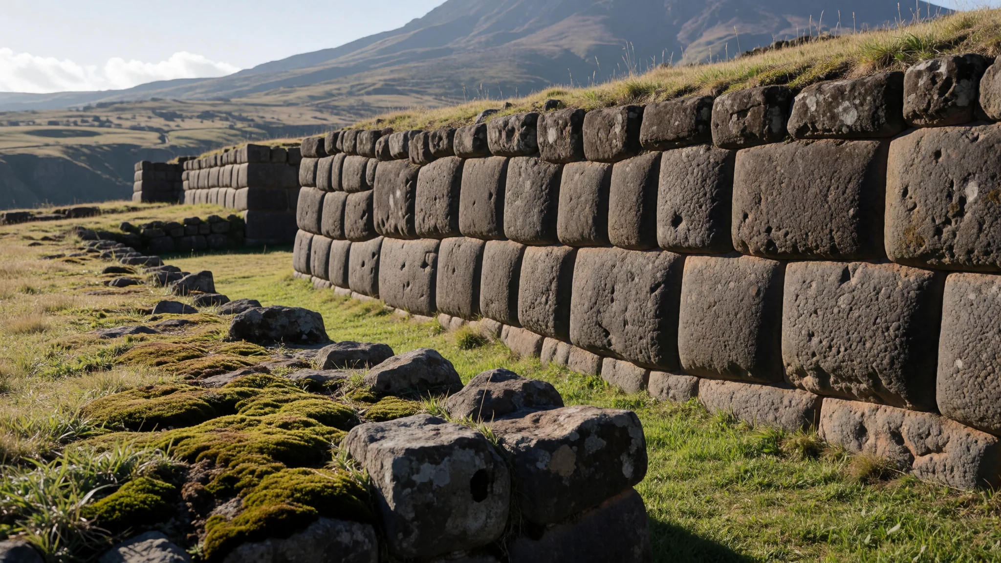
- Climb Cotopaxi — Upper mountain slopes
A challenging high-altitude ascent requiring accredited alpine guides, leading past the mountain refuge up toward the vast crater rim and glacial terrain.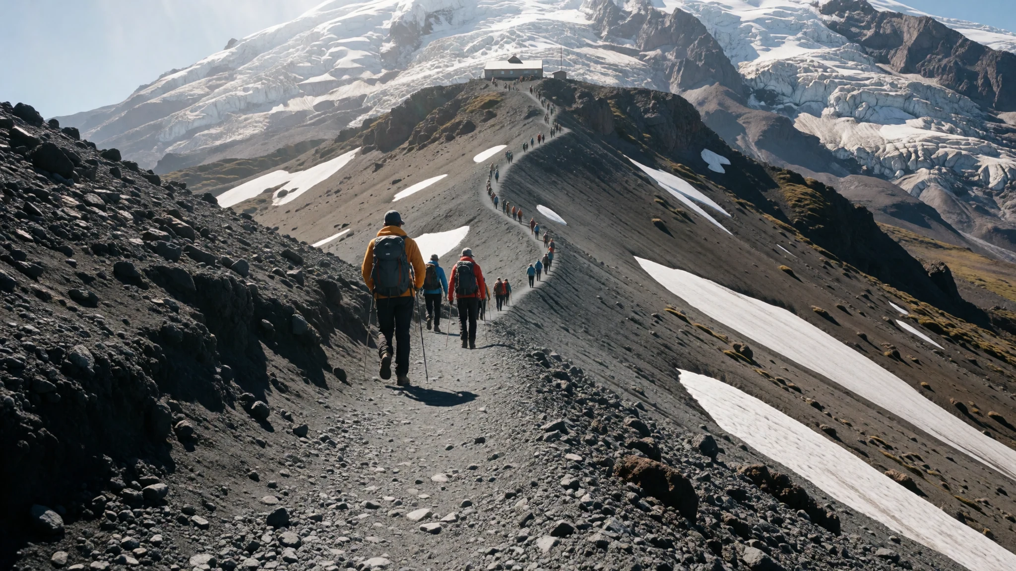
- Rumiñahui Volcano — Northern park boundary
An eroded neighboring volcanic massif featuring multiple distinct summits, providing an excellent alternative trekking route with panoramic views across the valley.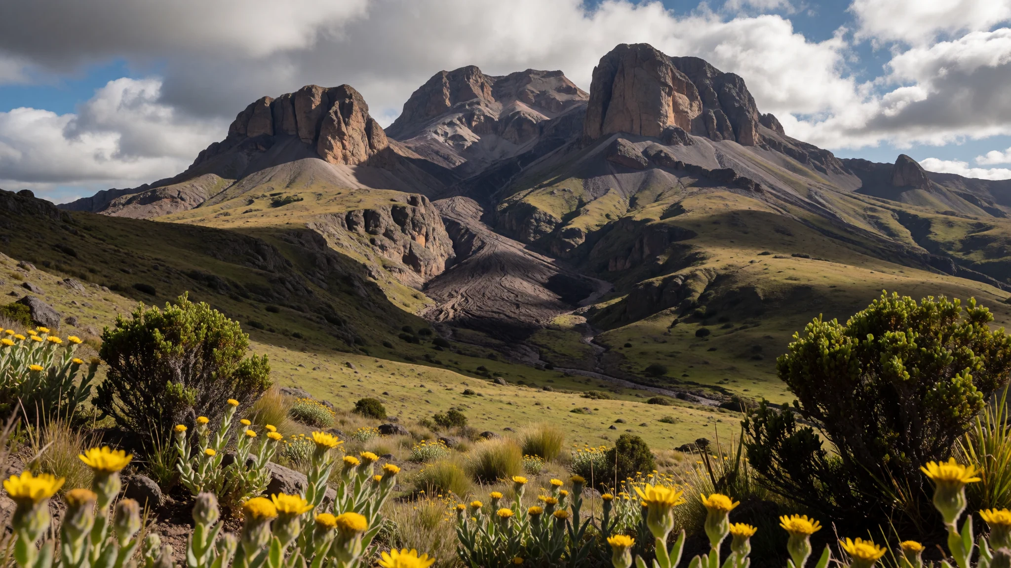
Culture
Life in the highland communities surrounding the park is deeply rooted in Andean traditions, agriculture, and pastoral heritage. Local residents maintain strong ties to the land, speaking regional languages and preserving traditional crafts, music, and textiles suited for the cool mountain climate. Markets in nearby towns serve as lively social hubs where artisans trade woollen garments, fresh produce, and local specialities. Music played on traditional panpipes and string instruments echoes the rhythm of rural life against the backdrop of towering peaks. Visitors interacting with local families and guides will find a warm, welcoming spirit tempered by profound respect for the unpredictable forces of nature that govern the mountain environment. Always ask permission before photographing local residents or indigenous farmers working in the highland fields.
What to wear
Traditional highland attire draws heavily on thick woollen textiles designed to ward off biting mountain winds and chilly temperatures. Artisans weave vibrant ponchos, heavy wrap-around skirts, and patterned shawls using sheep and alpaca wool, often dyed with rich natural pigments. Felt hats and woven headwear remain common staples of traditional dress among rural elders.
Today, everyday clothing in nearby towns blends contemporary casual wear with practical cold-weather gear. Jeans, fleece jackets, and sturdy utility wear are standard for daily life.
Visitors heading into the park must prioritise technical layering. Weather at high elevations changes instantly, requiring thermal base layers, windproof and waterproof jackets, fleece mid-layers, warm hats, gloves, and sturdy, broken-in trekking boots with ankle support to handle loose volcanic scree and uneven terrain.
What to eat
- Refugio Hot Soups — Cotopaxi mountain refuge
Steaming broths and thick vegetable or potato soups served at the mountain shelter to warm hikers against the freezing exterior temperatures.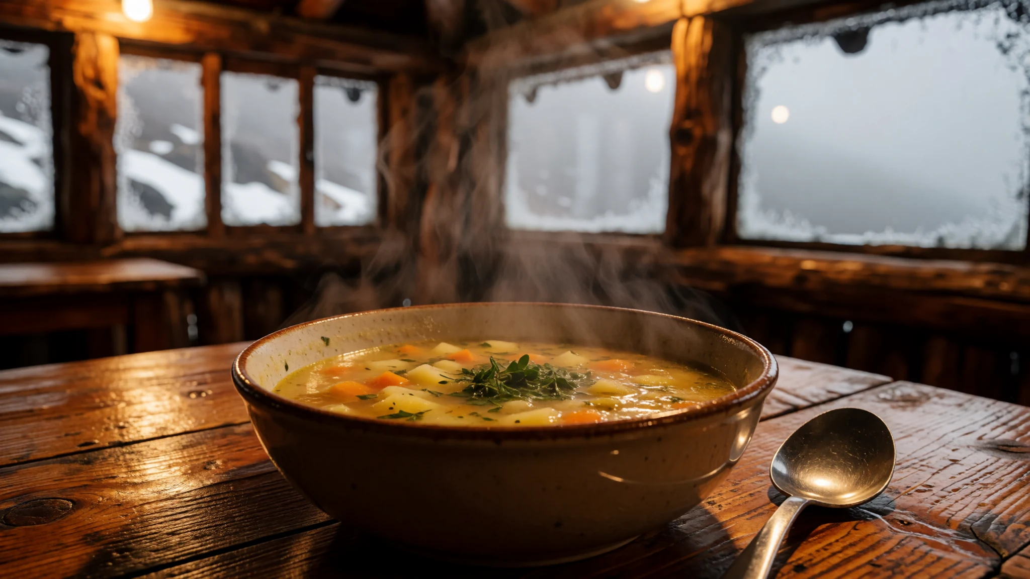
- Locro de Papa — Traditional eateries in Machachi
A comforting traditional Andean potato soup enriched with cheese and avocado, commonly found in local eateries throughout surrounding towns.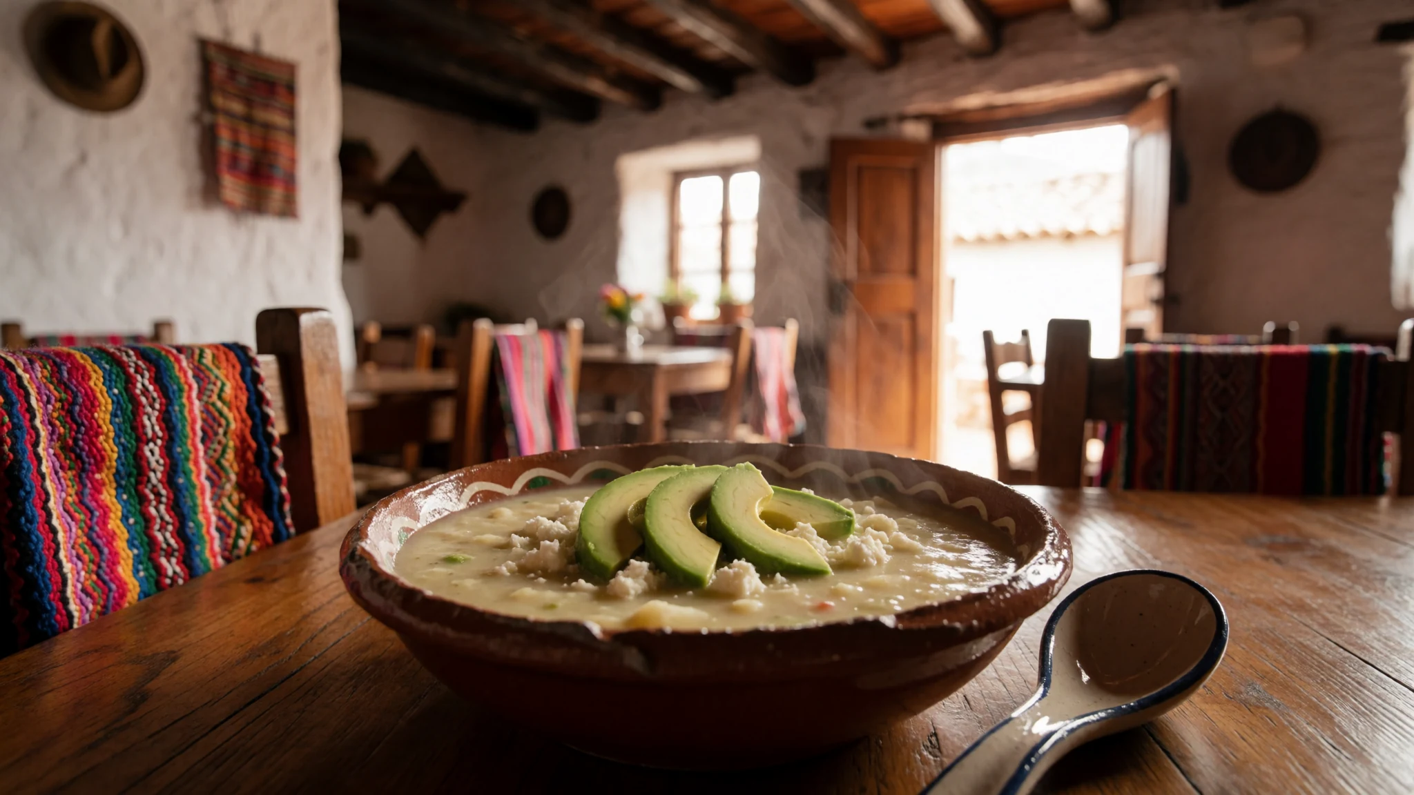
- Hornado — Latacunga central market
Slow-roasted seasoned pork served alongside maize cakes, fried plantains, and potato patties in bustling regional food markets.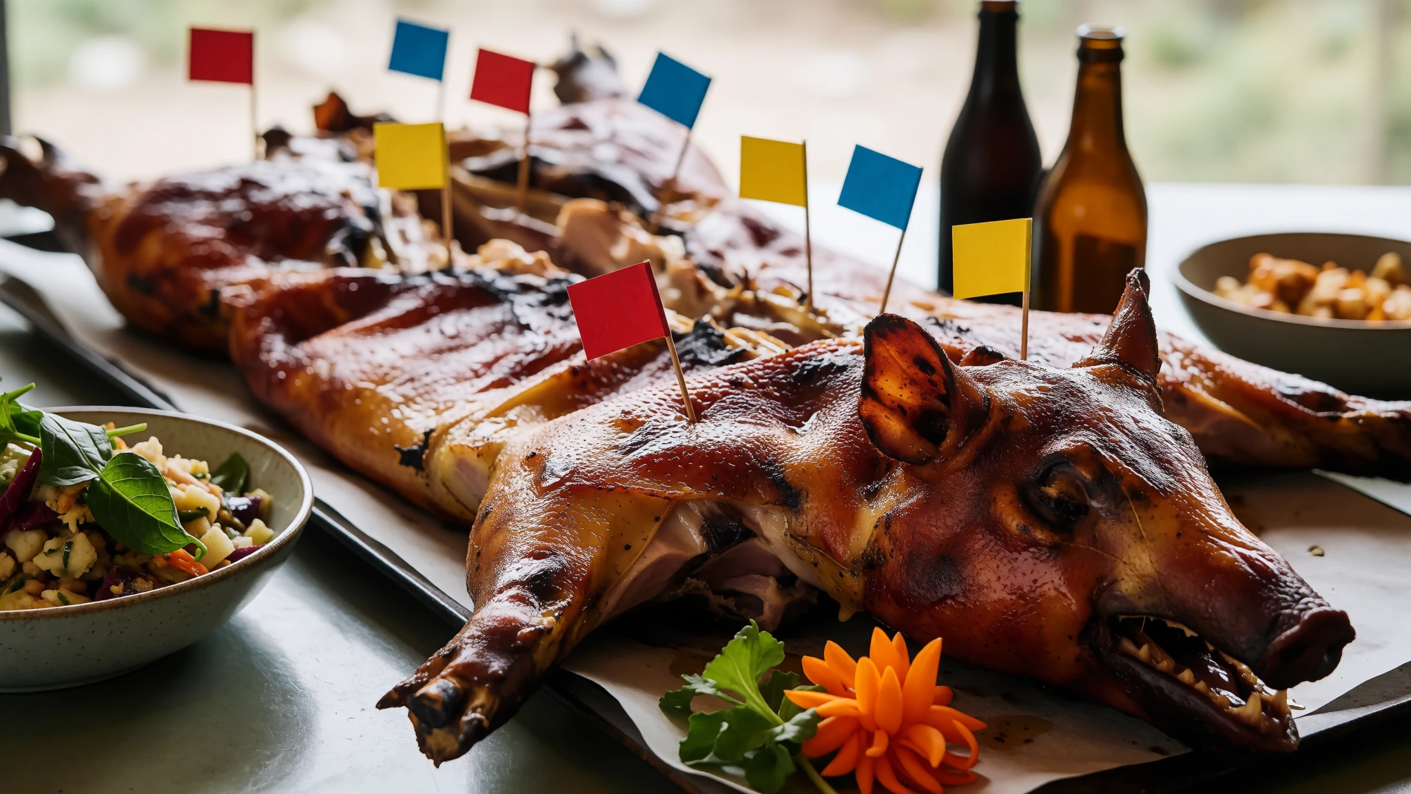
- Morocho — Machachi town square
A thick, sweet warm drink prepared from cracked maize, milk, cinnamon, and sugar, sold by morning street vendors. - Llapingachos — Local roadside restaurants along the highway
Pan-fried potato cakes stuffed with cheese, traditionally accompanied by peanut sauce, fresh salad, and chorizo.
Plan it
Best time. June to September generally offer clearer skies and drier conditions for mountain viewing and climbing, while March and April are the wettest months.
How long. 2–3
Getting there. Fly into Quito, then take a bus south toward Machachi or hire a private vehicle or four-wheel drive taxi directly to the park entrance.
Budget. mid
Tips
- Acclimatise properly to high altitude in Quito or nearby valleys before attempting strenuous hikes
- Start morning excursions early to catch clear views before afternoon clouds roll in
- Carry cash for park transport, small village markets, and local bus fares
- Pack bottled water or purification tablets as local tap water near the mountain can carry volcanic ash residue
- Wear high-factor sun cream and sunglasses, as UV radiation is exceptionally fierce at high elevations
Etiquette
- Greet locals politely with traditional Spanish pleasantries before asking for directions or assistance
- Respect all park boundaries and volcanic exclusion zones for your own personal safety
Nearby
Sources
- Wikidata Q181476 (CC0)
- Wikipedia (CC-BY-SA 4.0)
- Wikivoyage (CC-BY-SA 4.0)