Cachoeira da Fumaça
Cachoeira da Fumaça, Brazil
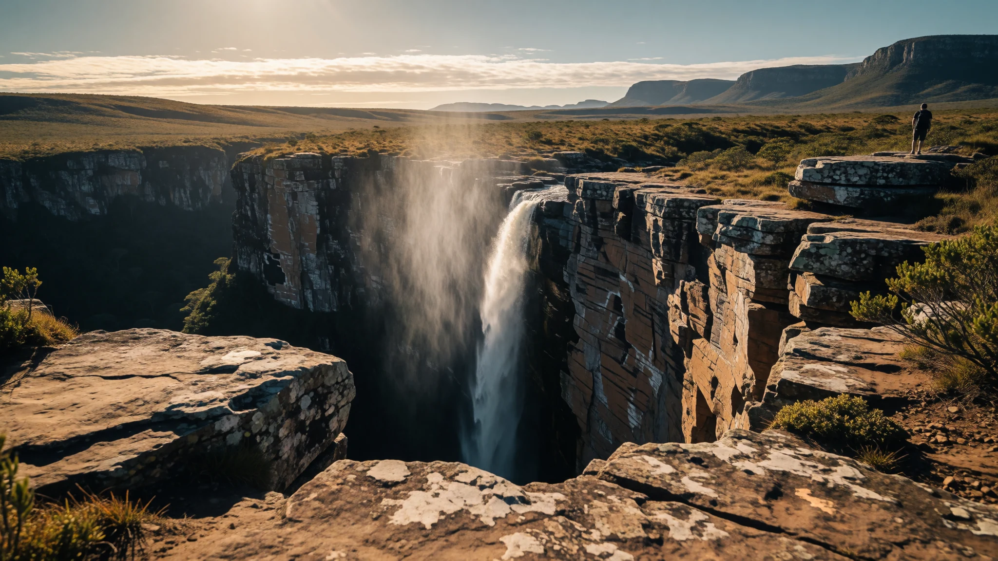
Visit Cachoeira da Fumaça to stand at the edge of a sheer drop where water turns into drifting mist before touching the ground.
The place
Cachoeira da Fumaça sits within the dramatic landscape of Palmeiras in the Brazilian state of Bahia, rising to an elevation of 1280 metres. The geographical setting forms part of the wider Chapada Diamantina, a rugged highland territory characterised by sheer quartzite walls, deep canyons, and expansive plateau vegetation. Because the drop is so high and the volume of water can be relatively slender, strong updrafts catch the stream mid-fall, tearing the liquid into a fine cloud of spray before it reaches the floor of the canyon. This meteorological and physical phenomenon gives the landmark its local name, meaning smoke falls. Travellers exploring the surrounding terrain encounter an environment shaped by seasonal shifts in rainfall. While certain months see robust sheets of water plunging into the abyss, other periods can leave the upper course considerably drier, altering the visual spectacle entirely. The landscape transitions from rocky upland trails to dense pockets of native flora, supporting local biodiversity and drawing adventurers keen on remote hiking routes. The municipality itself relies heavily on visitors drawn to these natural wonders, balancing conservation efforts with the demands of modern tourism across its scattered rural settlements and small communities.
Its story
Cachoeira da Fumaça carries a history rooted in local knowledge long before its widespread recognition by outsiders. Generations of residents in the region knew of the immense drop, yet the wider public remained unaware of its scale until the mid-twentieth century. In 1960, a bush pilot named George Glass flew over the remote canyon, noticing the staggering height of the waterfall from the air and bringing its existence to broader attention. For decades, it held the reputation of being the highest waterfall in the nation, drawing explorers who attempted to map the labyrinthine valleys of the interior. The local economy of Palmeiras experienced shifts over the generations, moving away from the extraction of precious stones toward an economy anchored in nature-based travel and small-scale agriculture. Residents cultivated crops such as tomatoes, coconuts, bananas, pineapples, passion fruit, and cassava across the fertile pockets of the valleys, while many families maintained connections through relatives working beyond the municipal borders. Today, the story of Cachoeira da Fumaça is intertwined with the protection of the plateau, where community-led initiatives strive to preserve fragile trails, manage visitor numbers, and protect the delicate ecosystems that cling to the sandstone cliffs against the pressures of modern tourism.
What to see
- Cachoeira da Fumaça Upper Trail — Vale do Capão base
Cachoeira da Fumaça features a dramatic upper viewpoint reached by walking an established ecological trail from the valley floor. Hikers climb steadily across rocky terrain and plateau scrublands, eventually arriving at the precipice where the water vanishes into the deep canyon below. The route offers sweeping vistas of the surrounding highlands.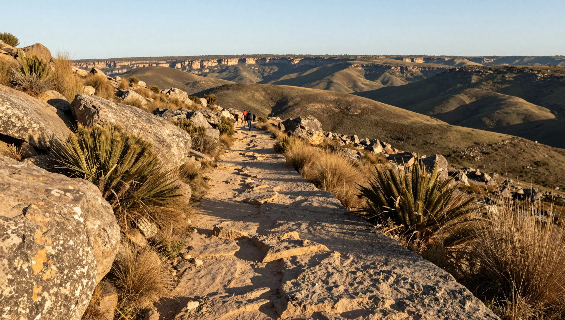
- Morro do Pai Inácio — Chapada Diamantina highway
Morro do Pai Inácio stands as one of the most prominent vantage points in the region, offering panoramic views across the sweeping tablelands of the plateau. A short but steep climb leads to the flat summit, where visitors gather to watch the sun set over the distant peaks and vast valleys.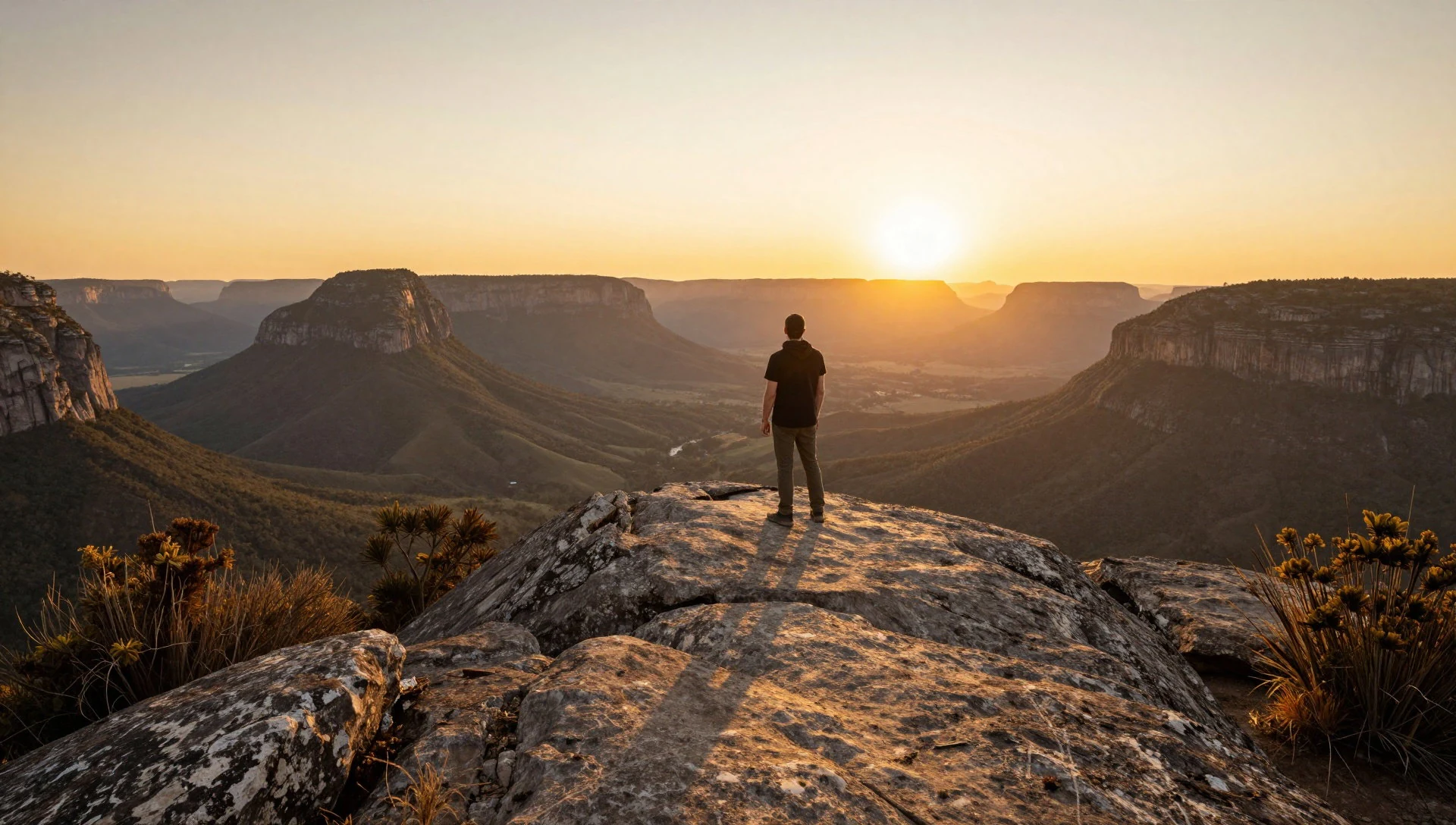
- Vale do Pati — Interior of the plateau
Vale do Pati is widely regarded as one of the finest remote trekking destinations in the country, enclosed by towering vertical rock faces and winding riverbeds. Walkers spend multiple days traversing the gorge, staying in modest homes hosted by local families who farm the isolated valley floor.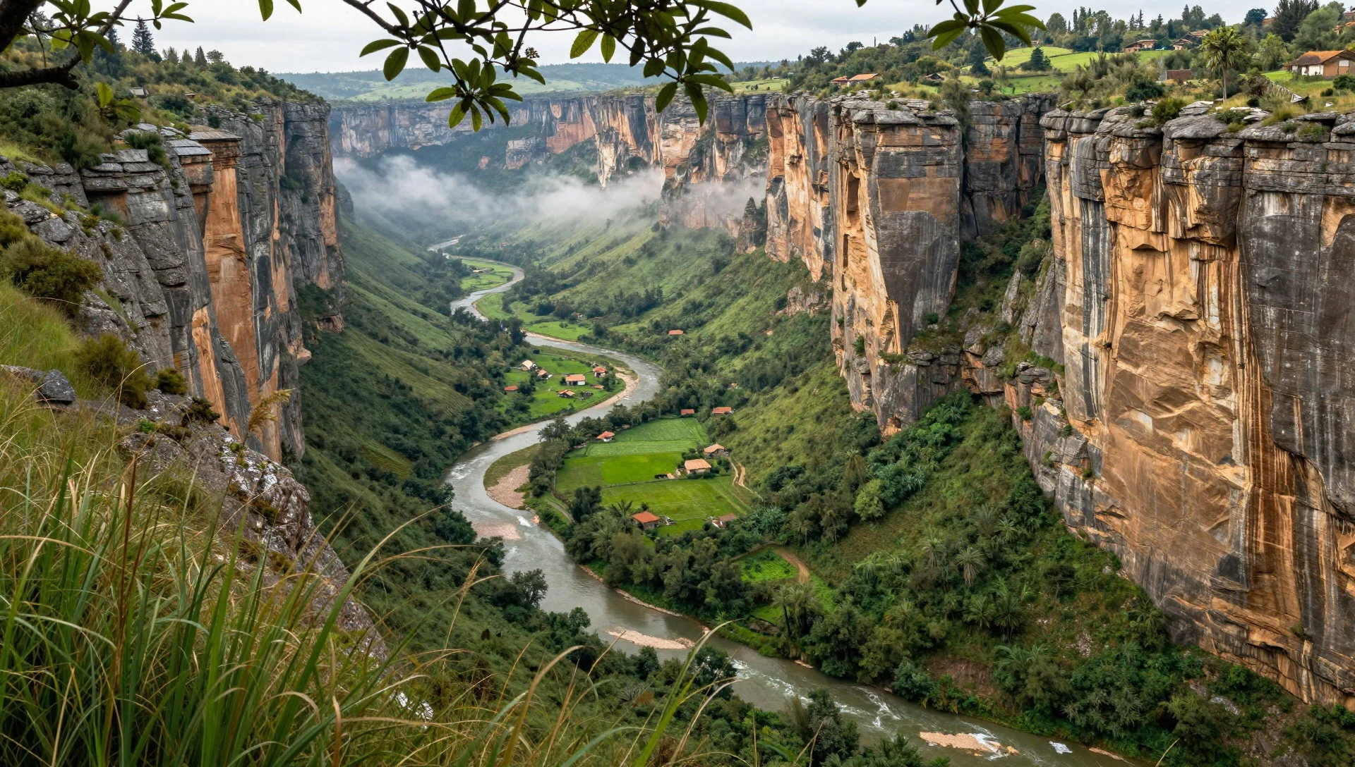
- Vale do Capão — Palmeiras district
Vale do Capão serves as the vibrant district and primary gateway for travellers exploring the northern trails of the park. The settlement combines a relaxed village atmosphere with rustic guesthouses, local craft shops, and eateries serving regional cuisine prepared with ingredients harvested from nearby hillside plots.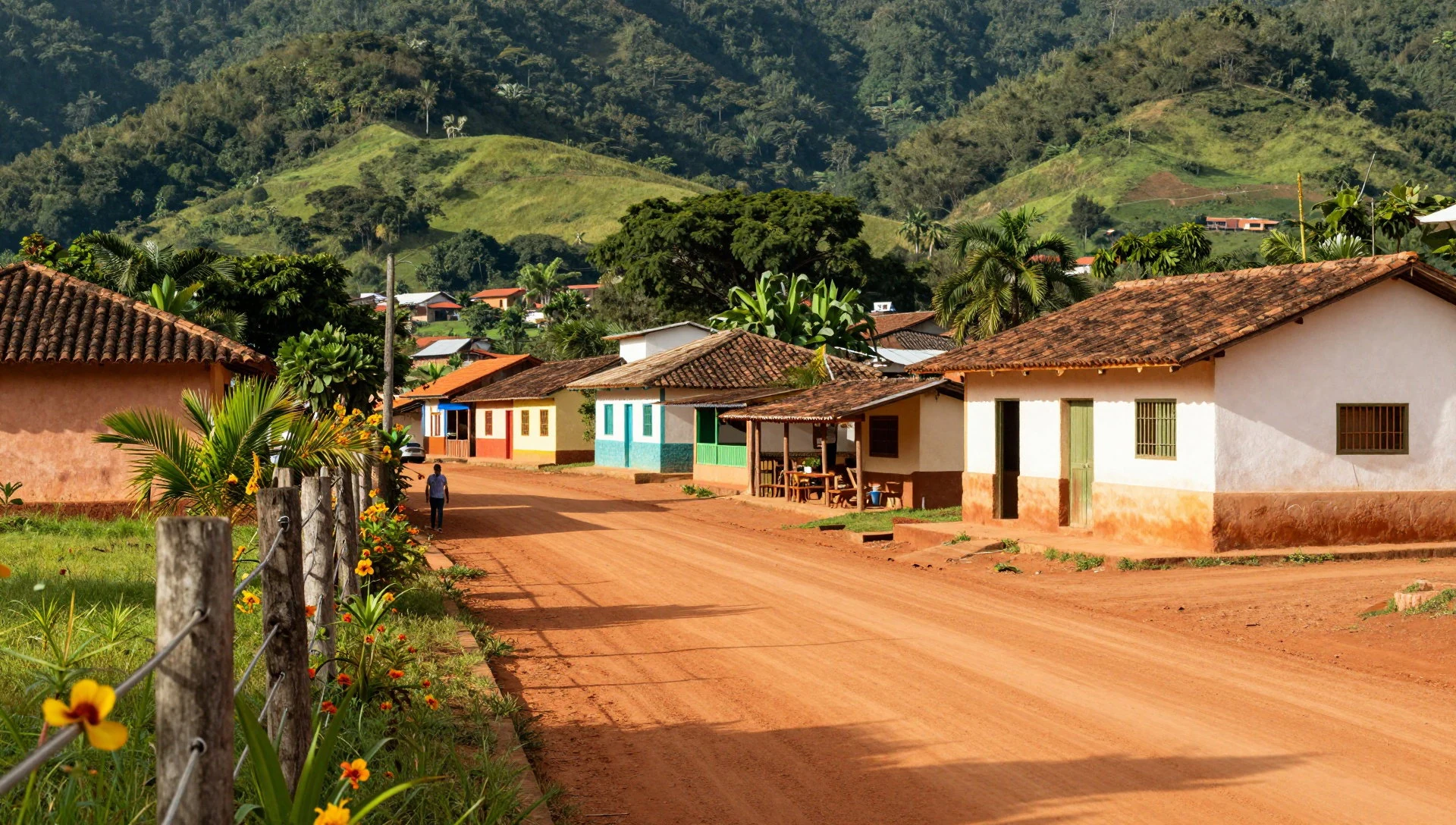
Culture
Cachoeira da Fumaça reflects the distinct cultural heritage of Bahia's interior, where rural traditions, community solidarity, and a deep connection to the natural environment shape daily life. The residents of the plateau communities maintain strong social bonds, often relying on cooperative efforts to manage local services and land stewardship. Music, storytelling, and regional gatherings are central to community life in settlements like Vale do Capão, blending historical influences from tropical traditions with the rhythms of rural Brazilian existence. Hospitality is an important value here, with families welcoming travellers into their homes during multi-day treks across the interior valleys. The local economy and culture also remain tied to seasonal agricultural cycles, celebrating harvests of tropical fruits and traditional crops. Visitors engaging with the community find an atmosphere that values quiet appreciation of nature, sustainability, and mutual respect for the fragile ecosystems of the highlands. Always carry out all personal rubbish and packaging from the trails to help protect the delicate wilderness.
What to wear
Cachoeira da Fumaça calls for practical clothing suited to active outdoor exploration and shifting upland weather. Traditional dress in the rural communities of Palmeiras leans toward durable, comfortable garments designed for manual work and farming life, utilising sturdy cottons and hard-wearing fabrics well-suited to the regional climate. Today, locals and residents in the valley wear casual, contemporary clothing such as denim, t-shirts, and light jumpers for cooler evenings when temperatures drop significantly. For visitors exploring the trails and the vicinity of Cachoeira da Fumaça, proper outdoor gear is essential. Sturdy walking boots with reliable grip are necessary for navigating the uneven stone paths and rocky ascents. Lightweight, breathable layers protect against the sun during midday climbs, while a waterproof jacket or windbreaker is vital for sudden weather shifts on the exposed plateau. A small daypack, a hat, and high-factor sun protection complete the standard wardrobe needed for a safe journey through the rugged landscape.
What to eat
- Regional Feijoada — Local village guesthouses and family-run eateries
A hearty stew of black beans simmered with various cuts of salted pork and beef, traditionally served alongside white rice, shredded collard greens, and crisp cassava flour. - Cassava Flour Dishes — Community kitchens and morning markets
Prepared in numerous ways across the municipality, roasted cassava flour provides a crunchy texture and nutty accompaniment to savoury stews and grilled meats throughout the region. - Tropical Fruit Juices — Village juice bars and roadside cafes
Freshly pressed juices made from locally harvested fruits including passion fruit, pineapple, and banana, offering a refreshing drink after long hikes in the warm upland sun. - Cozy Mountain Soups — Vale do Capão dining spots
Warm, thick broths prepared with locally grown vegetables and root crops, served in the evenings when temperatures on the elevated plateau drop sharply.
Plan it
Best time. May to October offers the most stable weather for trekking and exploring the plateau trails, avoiding the heavier rains that occur between November and February.
How long. 3–4
Getting there. Fly into Salvador, travel overland to Lençóis or Vale do Capão by bus or shared transfer, and continue the final leg on foot with local guides.
Budget. mid
Tips
- Start early in the morning to complete the trek before peak afternoon heat
- Hire a certified local guide for safety on remote canyon routes
- Carry sufficient drinking water and high-energy snacks for the full-day walk
- Bring cash for small village shops and local services where card machines are scarce
Etiquette
- Stay strictly on marked paths to prevent soil erosion and protect native plants
- Respect local quiet hours in village settlements after long days of trekking
Nearby
Sources
- Wikidata Q8144149 (CC0)
- Wikipedia (rev 1362217923) (CC BY-SA 4.0)
- Wikivoyage (rev 5220670) (CC BY-SA 4.0)
- Photo photos/01-cachoeira-da-fumaca-2.jpg (CC BY 2.5)
