Bryce Canyon National Park
Bryce Canyon National Park, United States
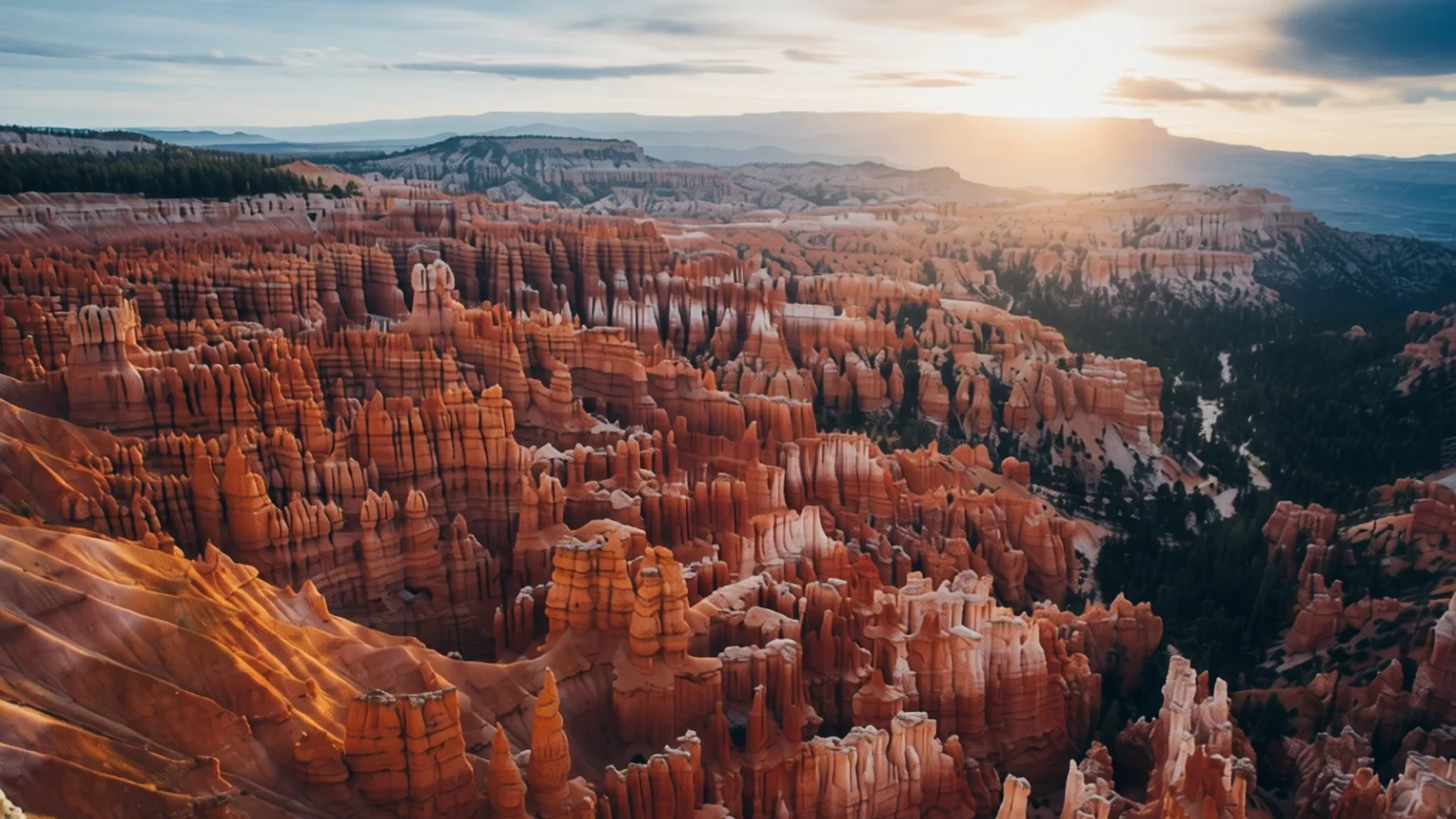
Step along high desert plateaus to look down into massive natural amphitheaters carved full of glowing red and white stone spires.
The place
Bryce Canyon National Park sits in the high desert of southwestern Utah, stretching across parts of Garfield County and Kane County. Despite the name, it is not a classic river-carved canyon at all, but rather a series of gigantic natural amphitheatres gouged into the eastern edge of the Paunsaugunt Plateau. The star attractions here are the hoodoos—towering, whimsically sculpted spires of pink, orange, and white sedimentary rock shaped over millennia by relentless frost weathering and stream erosion. Visitors walking the rim paths look down upon vast, jagged forests of stone that catch the changing desert light throughout the day, glowing brightest at dawn and dusk. Because the park sits at a considerable altitude, the air feels crisp and thin even in warmer months, and the surrounding evergreen forests and meadows support a surprising variety of mountain wildlife. While it shares the region's dramatic desert grandeur, Bryce feels much more intimate and compact than neighbouring parks, drawing fewer travellers due to its quieter, slightly more remote position in the high tablelands.
Its story
Long before European settlement, indigenous communities roamed the high plateaus of southwestern Utah. Archaeological surveys reveal human presence in the region extending back thousands of years, with artifacts left behind by Basketmaker Anasazi, later Pueblo-period groups, and the Fremont culture. Paiute bands arrived later, relying on hunting, gathering, and small-scale cultivation, and wove rich mythological explanations for the peculiar landscape. Local oral history holds that the iconic hoodoos were once ancient beings transformed into stone by the trickster Coyote as punishment for wrongdoing. European American exploration of the area began in the late eighteenth and early nineteenth centuries, and in the 1850s Mormon scouts searched the rugged terrain for farmland and grazing land. Major scientific surveys followed, mapping the intricate river drainages and adopting many indigenous place names for the geographical features. Homesteaders eventually established footholds near the edges of the high plateau, and the federal government eventually set aside the remarkable geological formations to protect them for future generations.
What to see
- Visitor Centre — Park Entrance
Positioned just past the park entrance, this informative hub provides rangers to answer questions, helpful geological exhibits, and an introductory film about the regional landscape. Travellers can also browse the well-stocked bookstore and gift shop before heading out onto the trails.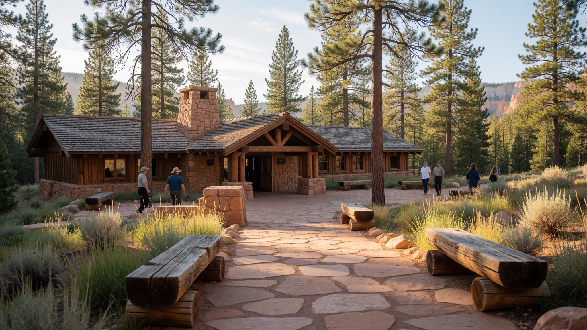
- Sunrise Point — Main Rim
Situated conveniently near the historic lodge, this scenic overlook delivers sweeping vistas across the main amphitheatre. As the name suggests, the early morning hours bring out the most brilliant golden and orange tones in the weathered stone spires below.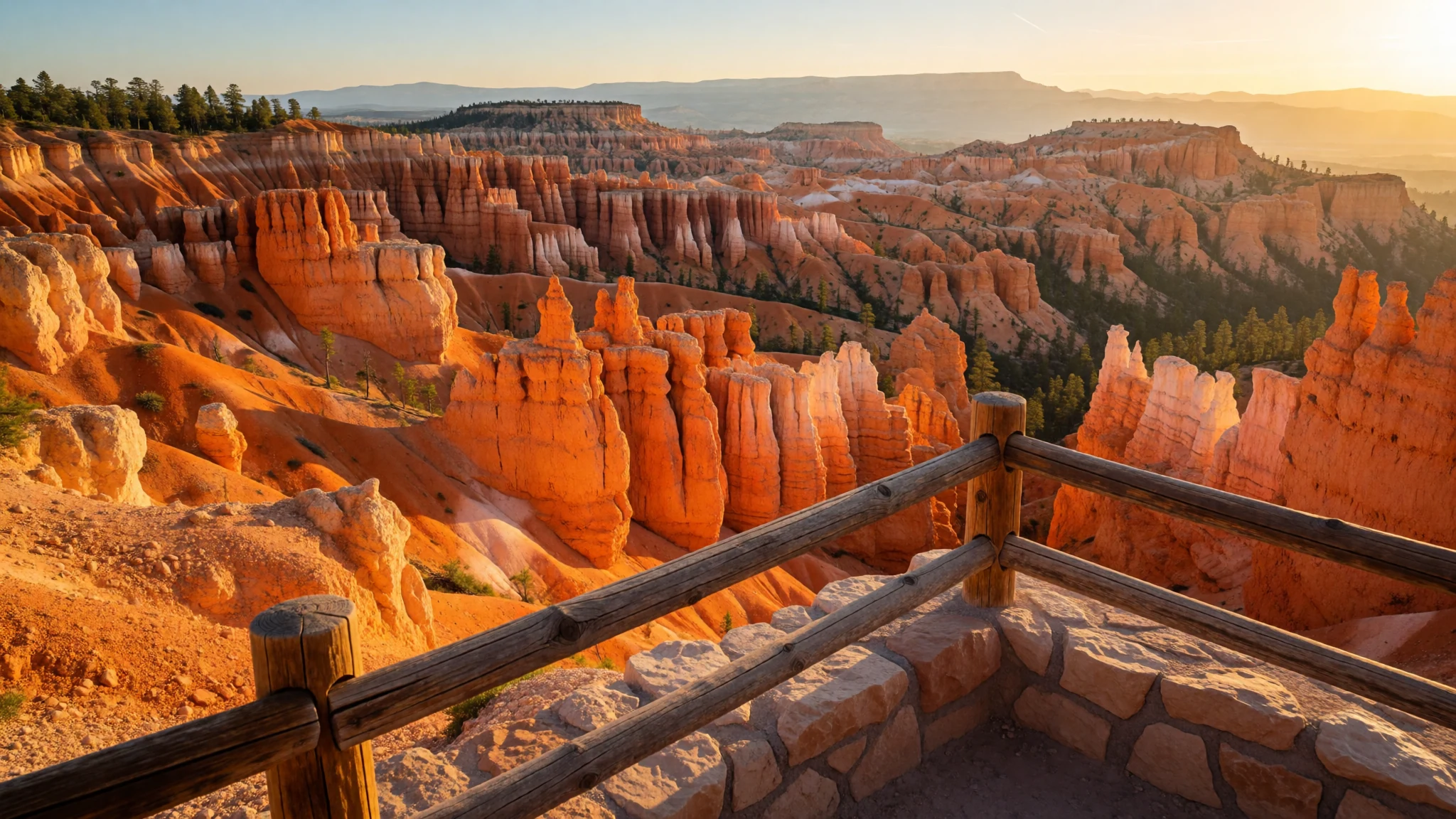
- Sunset Point — Main Rim
Linked to nearby overlooks by an easy walking path along the plateau rim, this viewpoint presents a wonderful alternative angle of the massive rock formations. Late afternoon light casts deep shadows across the hoodoos, making it a favourite spot for evening photography.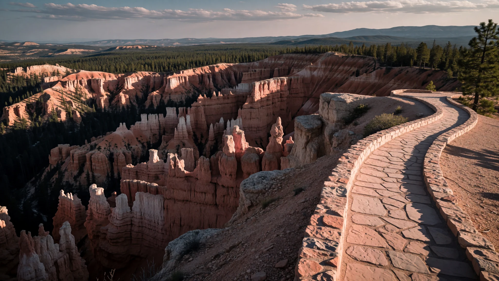
- Inspiration Point — Upper Rim
Perched higher above the canyon floor, this dramatic multi-tiered viewpoint lives up to its ambitious title. Visitors gaze down into a dizzying maze of crimson pinnacles and deep gullies that stretch away toward the distant horizon under the vast western sky.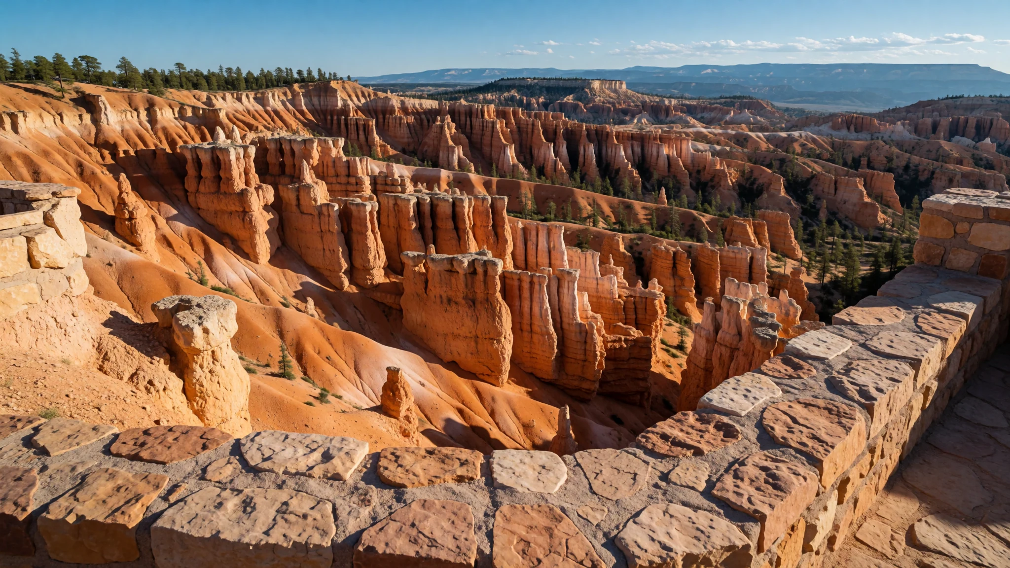
- Bryce Point — Southern Rim
Marking one of the most commanding vantage points along the entire high plateau, this dramatic overlook delivers an expansive panorama of the amphitheatre. The sheer scale of the geological formations becomes entirely apparent when viewed from this elevated southern perch.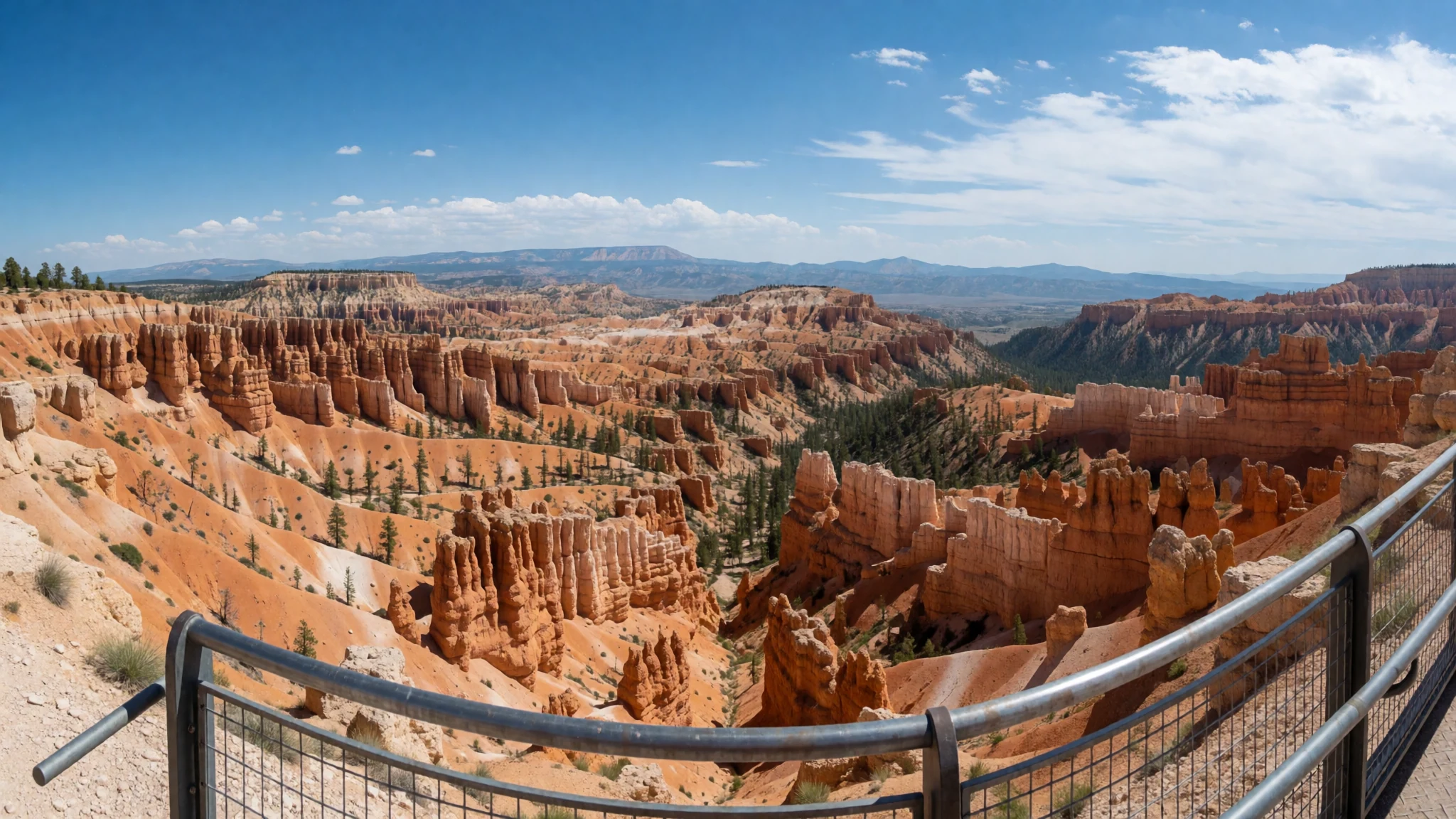
Culture
The heritage of the high desert plateaus is deeply tied to the Paiute people, who viewed the remarkable stone spires as sacred entities rather than mere scenery. Modern visitors experience a landscape managed to preserve both its fragile geology and the quiet wilderness enjoyed by local wildlife. Hikers must respect the delicate soil crusts that hold the desert ecosystem together, staying strictly on designated paths rather than scrambling over unstable hoodoos. Quiet appreciation is encouraged, allowing travellers to hear the wind move through the pine forests and echoing canyons without unnecessary disturbance. Always pack out all rubbish to keep the high-altitude wilderness pristine and undisturbed for future generations.
What to wear
Traditional attire in the region reflects practical adaptation to a demanding high-desert environment, historically favouring sturdy woven wools, durable leather, and layered garments capable of handling sudden shifts in weather. Modern visitors and local residents dress in rugged outdoor gear suited for active exploration, including moisture-wicking layers, durable trousers, and sturdy walking boots designed to handle loose rock and steep inclines. Because the elevation brings intense sun during the day and sharp drops in temperature after dark, layering is essential regardless of the season. Visitors should pack a windproof jacket, a wide-brimmed hat, UV-blocking sunglasses, and reliable footwear with good grip for unpaved trails.
What to eat
- General Store Provisions — Sunrise Point area
Located conveniently near Sunrise Point, the general store provides basic snack items, packaged foods, and fresh supplies for hikers heading out onto the trails or preparing for a long day of sightseeing.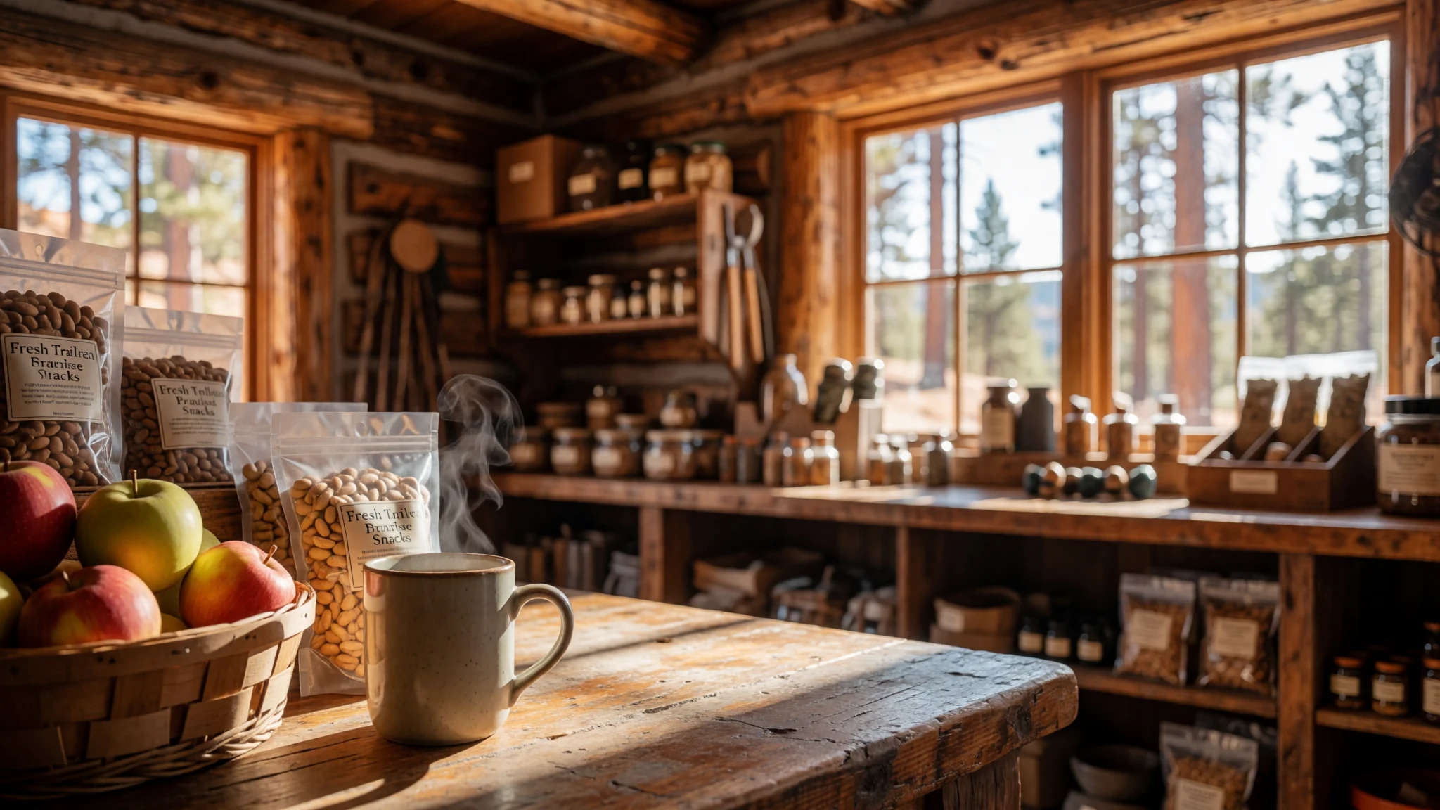
- Lodge Dining Room — Bryce Canyon Lodge
Situated inside the historic park lodge, this traditional dining room serves hearty breakfast, lunch, and dinner menus featuring classic American mountain fare in a rustic timber setting.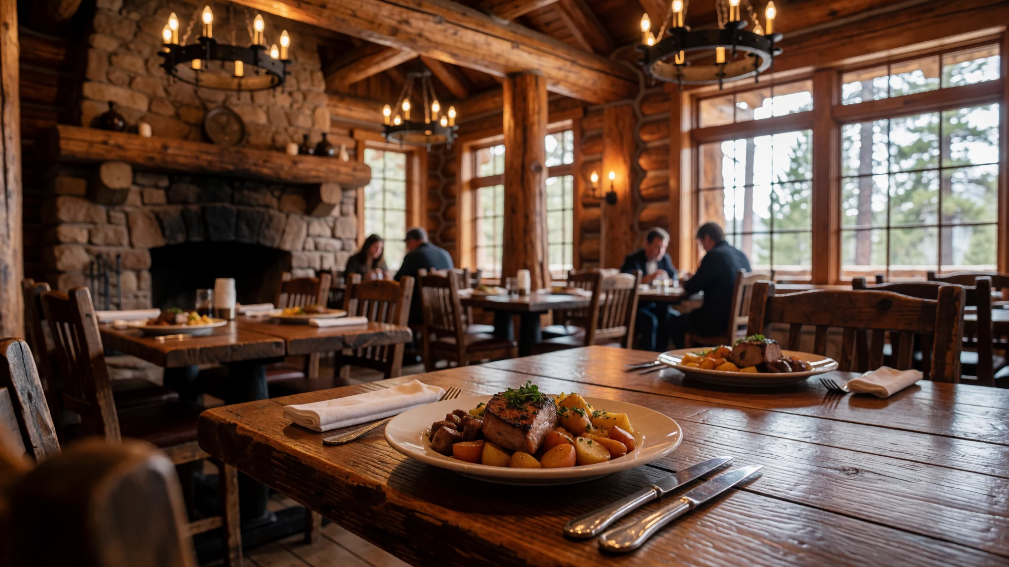
- Plateau Café Fare — Park gateway area
Casual eateries and grills located just outside the park boundaries offer quick burgers, sandwiches, and hot drinks for hungry travellers returning from afternoon hikes. - Trailside Snacks — Local regional markets
Pack your own lightweight energy bars, dried fruit, and nuts purchased from nearby regional markets to sustain your energy during steep climbs along the rim trails.
Plan it
Best time. April through October offers the most reliable weather for hiking, though July and August bring the hottest days and the most rain, with frequent afternoon thunderstorms; spring and autumn see cooler temperatures and fewer crowds.
How long. 2–3
Getting there. Arrive by car via regional highways connecting to the main park route, or fly into regional airports with connecting shuttle services.
Budget. mid
Tips
- Start your visits to popular viewpoints early in the morning to beat the midday crowds
- Carry plenty of drinking water due to the high elevation and dry desert air
- Check weather forecasts before hiking, as winter storms can make roads impassable
- Book lodge dining and accommodation well in advance during peak summer months
Etiquette
- Stay strictly on marked trails to protect the fragile desert soil crusts
- Pack out all litter and waste to preserve the natural wilderness
- Respect wildlife by maintaining a safe distance from all animals
Nearby
Sources
- Wikidata Q219562 (CC0)
- Wikipedia (CC-BY-SA 4.0)
- Wikivoyage (CC-BY-SA 4.0)