Zion
Zion, United States
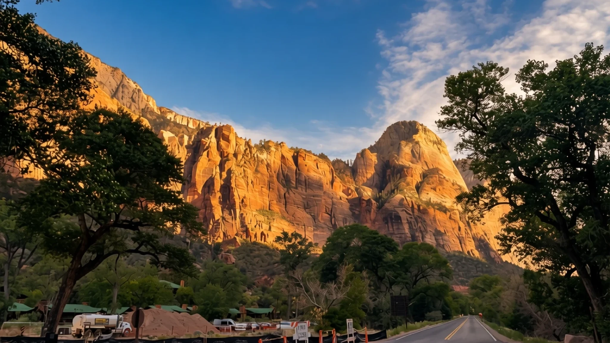
Explore towering Navajo Sandstone monoliths, desert canyons, and diverse life zones where the Colorado Plateau meets the Mojave Desert.
The place
Zion National Park sits in southwest Utah, right by Springdale, at a striking meeting point of the Mojave Desert, the Great Basin, and the Colorado Plateau. This rare geographical meeting point creates a distinctive topography encompassing mountains, deep canyons, mesas, buttes, slot canyons, and natural arches carved by water over immense spans of time. The landscape supports four distinct life zones—desert, riparian, woodland, and coniferous forest—which together shelter numerous plant varieties alongside hundreds of bird species, mammals including multiple bat types, and reptiles. A defining geological feature of the park is Zion Canyon, carved by the North Fork of the Virgin River through thick layers of reddish and tan Navajo Sandstone. The towering walls rise steeply from the valley floor, creating dramatic contrasts of light, shadow, and vivid mineral colours against the clear desert sky. Millions of travellers visit annually to experience the varied terrain, which ranges from rushing river corridors to elevated plateau overlooks. Springdale sits directly at the southern boundary, providing convenient access and hospitality services for visitors arriving to explore the protected valleys and surrounding high country. The park environment shifts dramatically with the changing seasons, offering warm, dry summers and cooler, occasionally snowy winters across its varied elevations.
Its story
Human history in the Zion region spans thousands of years, divided by archaeologists into three main periods: the Archaic, the Protohistoric, and the Historic. The earliest human presence dates back millennia, when small family groups established seasonal camps to hunt game and gather wild plants and seeds. Around two millennia ago, some groups began cultivating corn and other crops, gradually shifting from a purely nomadic lifestyle to more settled routines. Archaeologists term this the Archaic period, noting the presence of woven baskets, cordage nets, yucca sandals, and flaked stone tools attached to wooden shafts propelled by atlatls. By the early centuries of the common era, certain groups evolved into the Basketmaker branch of the Ancestral Puebloans, constructing shallow pithouses and stone-lined storage cists while supplementing foraging with modest agriculture. Pine nuts served as an important dietary and trading staple during these eras. Subsequently, the Virgin Ancestral Puebloans and the Parowan Fremont populations developed permanent communities throughout southwestern Utah before disappearing from the local archaeological record. They were later succeeded by the Parrusits and other Southern Paiute subtribes, who inhabited the valleys and canyons until non-indigenous explorers and settlers arrived in the nineteenth century, leading to the eventual establishment of federal protection in nineteen nineteen.
What to see
- Zion Human History Museum — Zion Canyon
Exhibits detailing the long human activity within the park, accompanied by an orientation film shown regularly. The facility provides an ideal starting point to understand the intersection of indigenous cultures and park geology.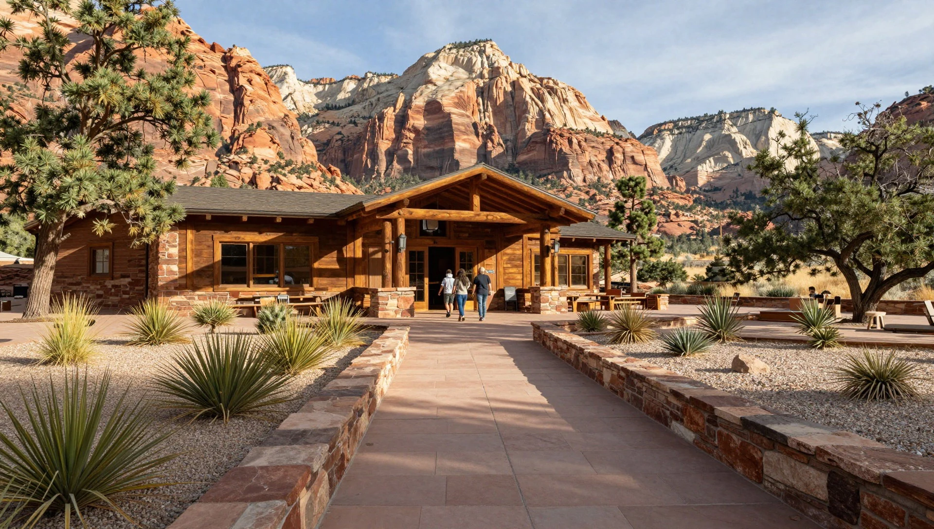
- Zion Canyon Scenic Drive — Zion Canyon
A paved route winding six miles through the main canyon, passing dramatic sandstone cliffs that tower thousands of feet overhead. Shuttle buses transport visitors along the corridor to major trailheads and viewing points.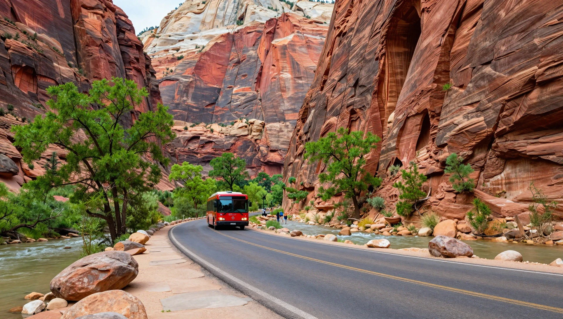
- Zion-Mt. Carmel Highway — Highway 9
A dramatic ten-mile road connecting the park's east and south entrances, featuring steep switchbacks and a historic mile-long tunnel completed in nineteen thirty. Oversized vehicles require special escorts to pass through the narrow bore.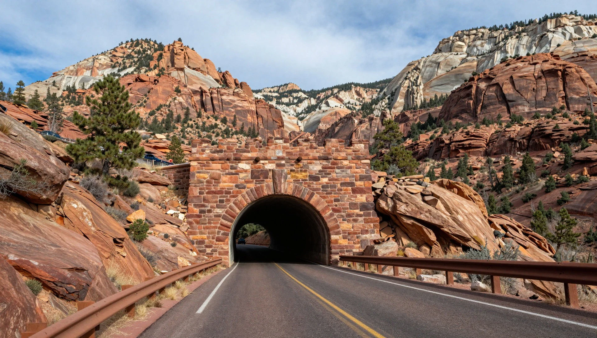
- Kolob Canyons — Northwest Corner
Situated in the northwest corner of the park, this quieter sector features striking red-rock canyons, sweeping overlooks, and tranquil scenery away from the busier main valley floor.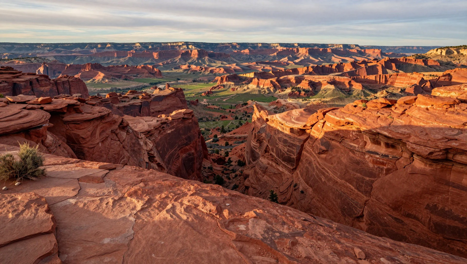
- Court of the Patriarchs — Zion Canyon
A short, accessible walk leading to a classic viewpoint overlooking towering sandstone peaks named after biblical figures. The trailhead connects directly to the park shuttle system.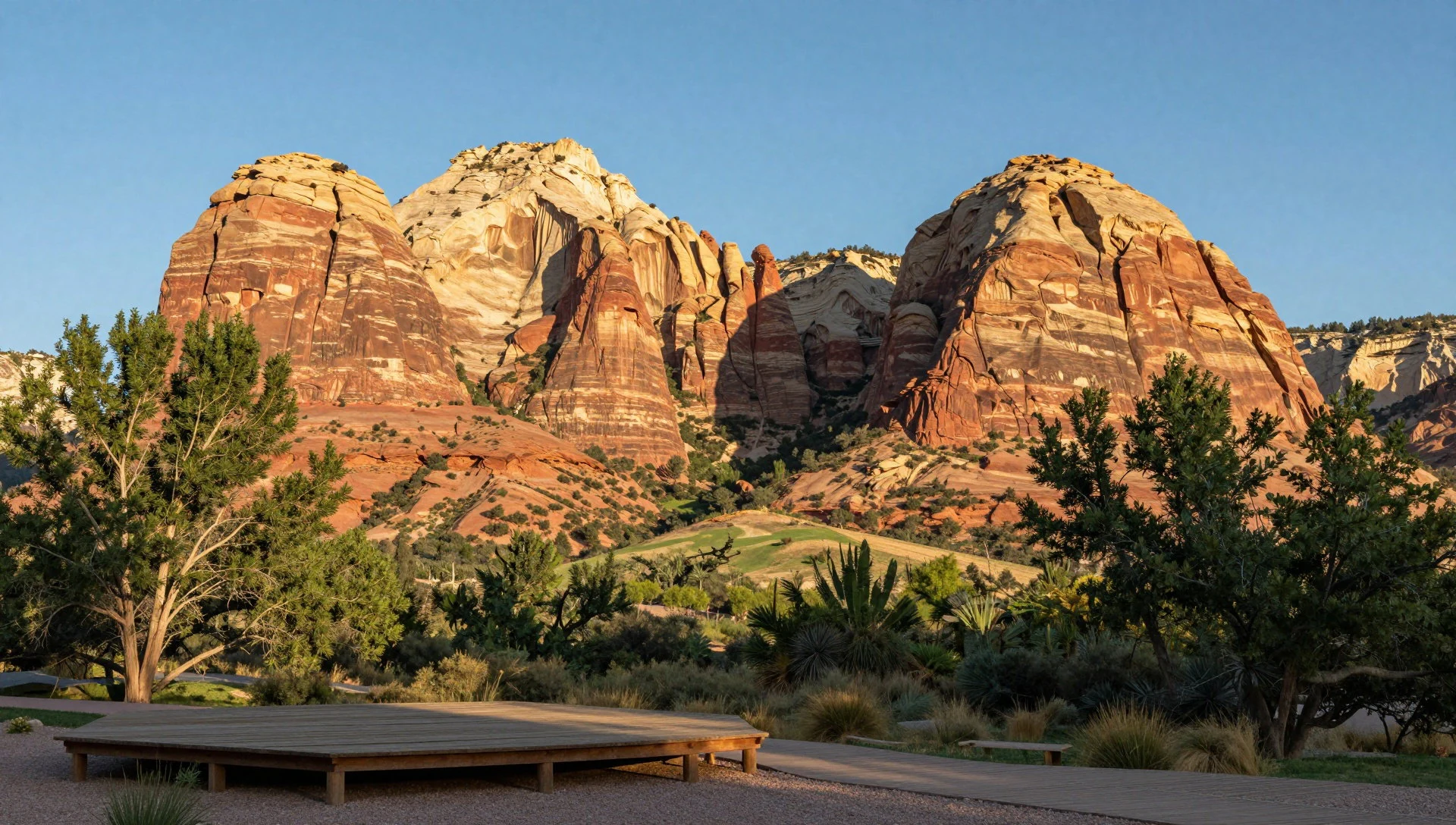
Culture
The cultural heritage of the area is deeply rooted in the traditions of the Southern Paiute people, who maintain a spiritual connection to the canyons, springs, and high plateaus. Early ranching and homesteading families also left their mark on the landscape through historic structures and wagon routes that predate park designation. Today, the visitor community consists of outdoor enthusiasts, geologists, and travellers from across the globe drawn to the unique desert ecosystems. Respect for the natural environment and ancient archaeological sites is paramount, as fragile desert soils and sandstone formations are easily damaged by foot traffic. Visitors should pack out all waste, stay strictly on designated trails to protect cryptobiotic soil crusts, and maintain a safe distance from native wildlife. Always check vehicle height and width regulations before attempting to drive large campers or RVs through the historic Zion-Mt. Carmel Tunnel.
What to wear
Outdoor recreation clothing dominates daily life in and around the park, with visitors and park staff prioritising practical gear suited for shifting desert conditions. Traditional clothing reflects the functional demands of working and travelling through rugged terrain rather than formal ceremonial attire, though historic exhibitions showcase traditional Southern Paiute crafts including woven plant-fibre items and utilitarian garments. Contemporary visitors should wear sturdy, broken-in hiking boots with good traction for rocky trails, moisture-wicking layers for changing daytime temperatures, and a wide-brimmed hat for sun protection. Because the region experiences intense solar radiation and high summer heat, lightweight, breathable fabrics in light colours are essential. Evenings can turn cool, particularly at higher elevations, making a fleece jacket or windbreaker necessary gear after sunset.
What to eat
- Red Rock Grill — Zion Lodge
Located within Zion Lodge, this sit-down dining room offers hearty meals accompanied by serene views of the surrounding canyon walls and a peaceful indoor rock waterfall.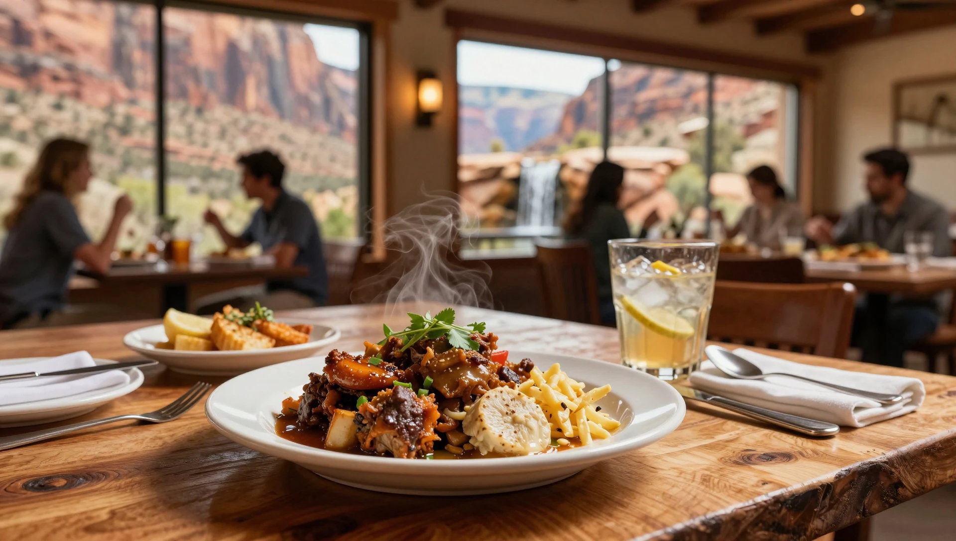
- Castle Dome Cafeteria — Zion Lodge
A seasonal eatery offering quick grab-and-go refreshments including coffee, baked rolls, burgers, hot dogs, and ice cream cones for hungry hikers.
- Springdale Restaurants — Springdale Town Centre
The gateway town outside the south entrance features a diverse selection of independent eateries serving pizza, American classics, Mexican dishes, and Asian cuisine. - Mount Carmel Junction Dining — Mount Carmel Junction
Small local diners and cafes situated on the east side of the park along the highway, offering traditional comfort food and local hospitality.
Plan it
Best time. March to May and October to November offer the most comfortable daytime temperatures for hiking; June to August bring the hottest weather, and July and August the heaviest rain, with frequent afternoon thunderstorms.
How long. 2–3
Getting there. Access by car via Interstate 15 and State Route 9 from the west, or US-89 from the east. Rental cars are available in Salt Lake City, Las Vegas, St. George, and Cedar City.
Budget. mid
Tips
- From early April to late October, board the morning park shuttle early to secure parking and avoid midday crowds; in winter, the canyon road is open to private vehicles instead.
- Carry plenty of drinking water, as desert dehydration happens quickly during exertion.
- Check vehicle size restrictions before attempting the Zion-Mt. Carmel Tunnel.
- Respect local speed limits on Route 9, which change frequently.
Etiquette
- Stay on marked trails to protect delicate desert soils.
- Keep a respectful distance from local wildlife at all times.
Nearby
Sources
- Wikidata Q205325 (CC0)
- Wikipedia (CC BY-SA 4.0)
- Wikivoyage (CC BY-SA 4.0)