Zagros Mountains
Zagros Mountains, Iran
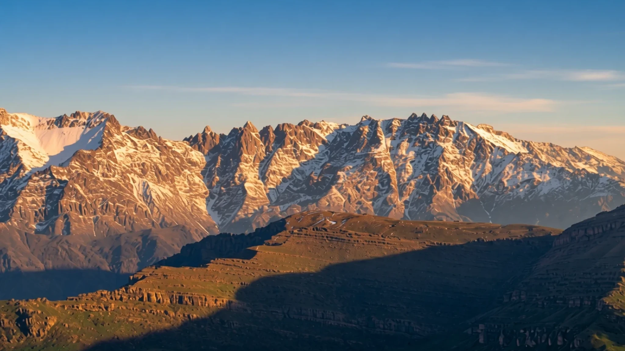
Go to the Zagros for a long road through folded mountains, village life and some of the oldest farming and archaeology in the Middle East.
The place
The Zagros Mountains run for about 1,600 km (990 miles) across western Iran, northern Iraq and south-eastern Turkey. The range begins near Iran's north-western border and runs south-east, following the frontier and then the long western edge of the Iranian plateau, until it meets the Persian Gulf at the Strait of Hormuz. Its highest summit, Mount Dena, rises to 4,409 metres (14,465 ft), and the crest stays high for much of the route.
Geologically the range is a belt of folded and thrust rock rather than a single chain of peaks. Layer upon layer of sediment, laid down over hundreds of millions of years, was crumpled as the Arabian Plate pushed north into Eurasia. The collision has not finished, so the mountains and the plateau behind them are still rising, slowly.
Climate and landscape change sharply with height. Lower slopes carry oak woodland and forest steppe, and the valleys hold grassland and farmland. Winters are cold and snowy, and high passes can close for spells. Spring brings green pasture and wildflowers, while summers are dry and dusty. Many villages still move livestock between winter lowlands and summer uplands, a rhythm that shapes the roads, the markets and the timing of a visit.
Its story
The Zagros Mountains have been lived in for a very long time. Stone tools from cave sites show that people hunted and gathered here during the Palaeolithic, and fossil remains from caves such as Shanidar, Bisitun and Wezmeh include early Neanderthals. Shanidar is the richest of these, with layers that hold several Neanderthal individuals and later burials from people who were already settling down.
As the climate shifted, the foothills became a place to experiment with farming. Early cultivation in the Zagros is among the oldest anywhere, and villages in the hills gradually grew into the towns of the Mesopotamian and Elamite world. Anshan and Susa, both later important cities, lay near the range's edges, while sites such as Jarmo show how farming communities spread through the hills.
Wine is one of the more surprising threads. Storage jars from Hajji Firuz Tepe and Godin Tepe show that grape wine was being kept here thousands of years ago, which places the mountains among the earliest known wine-making areas.
Later, the range became a frontier. Empires of Mesopotamia and Persia crossed or contested its passes, and the mountains were home to Lur, Kurdish and Bakhtiari communities whose pastoral lives followed the seasons. Mesopotamian writers placed the entrance to the underworld in these eastern hills, a belief that shows how the range once figured in ancient imagination.
Genetic work on a Neolithic bone fragment from Wezmeh Cave found a lineage that scientists had not previously recorded, a reminder of how much of the region's human story is still being pieced together.
What to see
- Mount Dena — Kohgiluyeh and Boyer-Ahmad, reached by the Semirom road
Dena is the highest point of the Zagros, at 4,409 metres (14,465 ft). A few glaciers survive on its upper slopes, and the views from the Semirom road are the usual first introduction to its scale. Access is by road and local track. In winter, snow can close routes, so check conditions with local drivers or the regional tourism office before heading up.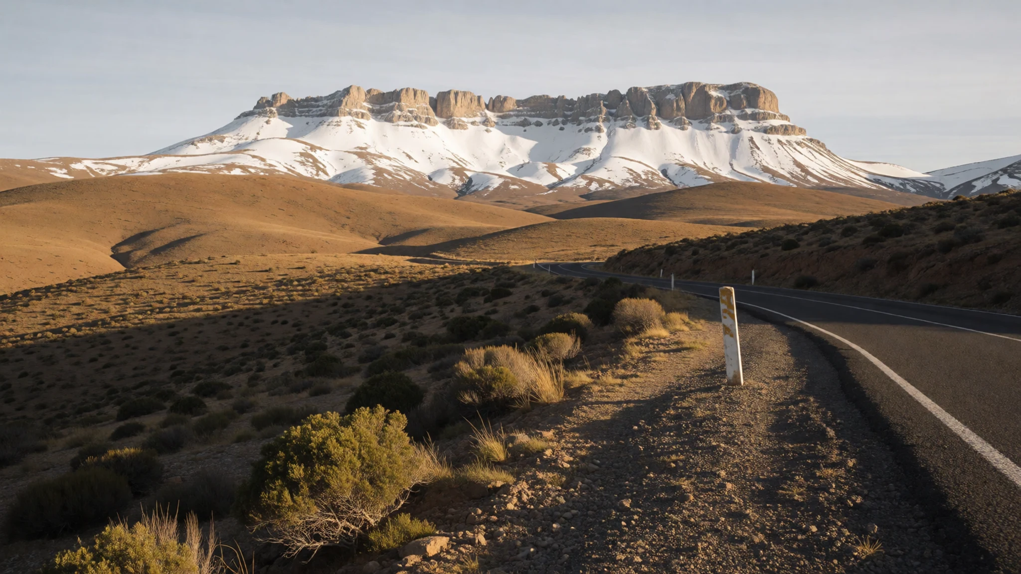
- Shanidar Cave — Erbil governorate, Iraqi Kurdistan
Shanidar Cave, in Iraqi Kurdistan, is one of the best-studied Neanderthal sites in the Zagros. Excavations there found remains of several Neanderthals, along with later Neolithic burials. Access depends on the security situation and local permits, so check current travel advice for Iraq before planning, and go with a guide from the nearest town.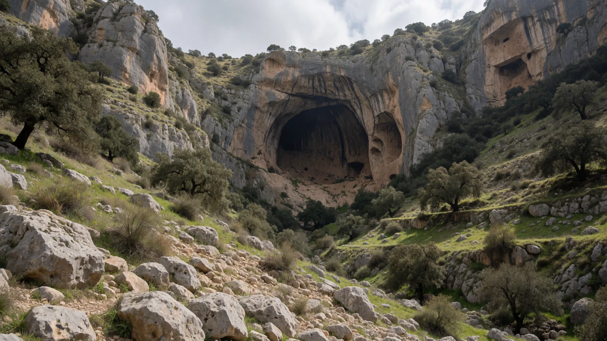
- Hajji Firuz Tepe — West Azerbaijan, near Naqadeh
Hajji Firuz Tepe is a mound in the north-western Zagros, where excavators found storage jars with traces of wine that date back several thousand years. It is an archaeological site rather than a built attraction, so there is little beyond the earthworks and any display material. Ask at a local museum or the cultural heritage office about access, and bring a map, as signs are few.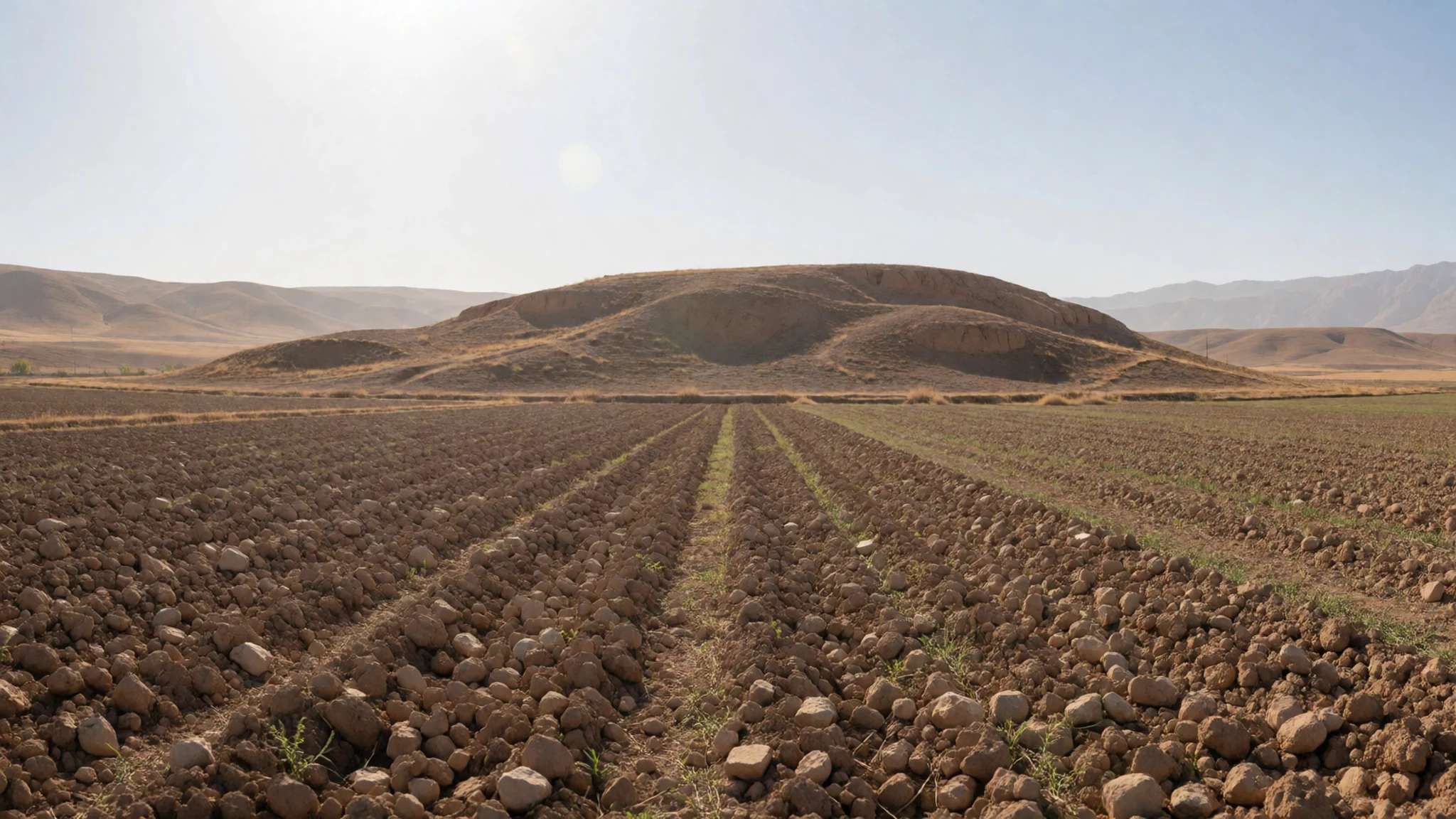
- Kuh-i-Jupar and the East Zagros — Chaharmahal and Bakhtiari, east-central Zagros
The East Zagros peaks around Kuh-i-Jupar, at 4,135 metres (13,566 ft), and Kuh-i-Lalezar, at 4,374 metres (14,350 ft), show a different face of the range. Their summits are today free of glaciers, though ice once filled the valleys to great depth. Hiking here suits experienced walkers only. Afternoon storms are common in summer, and tracks can be rough, so go with a local guide.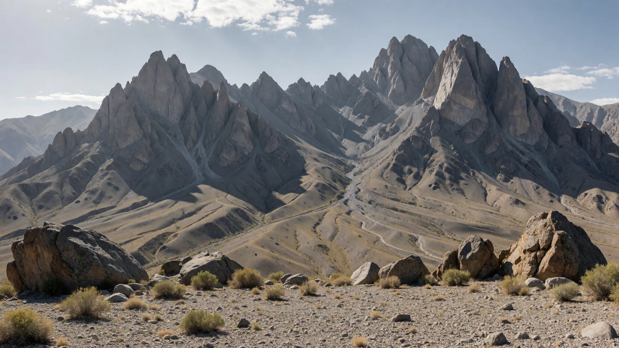
- Behbahan and the southern foothills — Khuzestan province, south-western foothills
Behbahan sits at the foot of the range, and its surrounding hills are a working landscape of herds and terraced fields. Wild goats move over the rocky slopes, and herders may be seen taking flocks up in spring. Go with a driver who knows the tracks, keep your distance from herds and dogs, and ask before walking through a village or onto private grazing land.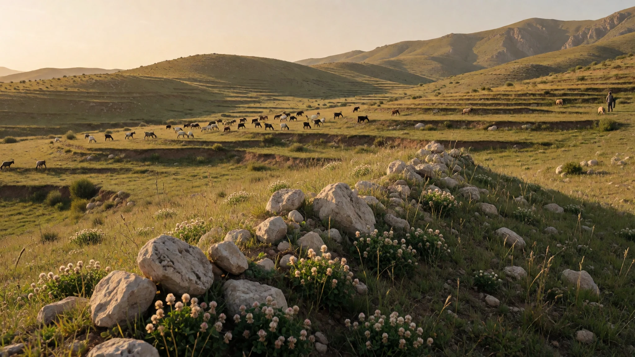
Culture
The Zagros is home mostly to Muslims who speak Iranian and Turkic languages, with small Christian communities, mainly Assyrians and Armenians. Earlier faiths left their mark too. Mesopotamian and Hurrian beliefs shaped the region in the Bronze and Iron Ages, and Zoroastrianism and Syriac Christianity took root later. Some ancient texts placed the gate to the Mesopotamian underworld in these eastern hills, a reminder of how long the range has held a sacred place in people's imagination.
Daily life revolves around herding, village and family ties, and hospitality. Tea, bread and a seat near the stove are the standard welcome, and turning down a cup can seem unfriendly. Dress is modest and conservative, especially away from the big towns, and visitors are expected to follow suit.
People are usually generous with their time, but photographing them without asking can cause real offence. Ask before taking pictures of anyone, especially women, children and worshippers at shrines.
What to wear
Traditional dress in the Zagros varies from group to group. Kurdish women have long worn loose trousers under a long tunic or wrap, often in bright printed cotton, with embroidered jackets and sashes. Lur and Bakhtiari women traditionally wore full, layered skirts and dresses in dark wool and cotton, with headcloths and heavy silver or coin jewellery. Wool is central to the region's textiles. Flat-woven rugs, often called kilim or gelim, along with saddlebags and tent panels, are still made in villages for household use. Men's clothes were typically wide trousers, a shirt, a waistcoat and a wrapped sash or belt, with a felt or woollen cap in some areas.
Today most people dress much as city dwellers anywhere do, in jeans, trainers and jackets. Traditional dress survives mainly at weddings, festivals and markets, and in the everyday clothing of older village women.
For a visitor, layers are the sensible choice. Valleys can be hot in summer, while nights and high ground are cold, and winters bring snow. In Iran, women must wear a headscarf and loose, covering clothing in public, and men should keep their knees covered. Bring a warm jacket, sturdy shoes with good grip for rocky tracks and wet slopes, and a light scarf that can double as cover for shrines and mosques.
What to eat
- Lavash — neighbourhood bakeries (nanvai) in town centres
Thin, large sheets of lavash are the everyday bread of the Zagros, baked against the hot inner wall of a clay oven. Bakeries in town centres open early, and the bread is best eaten the same day, folded around cheese, herbs or a little butter.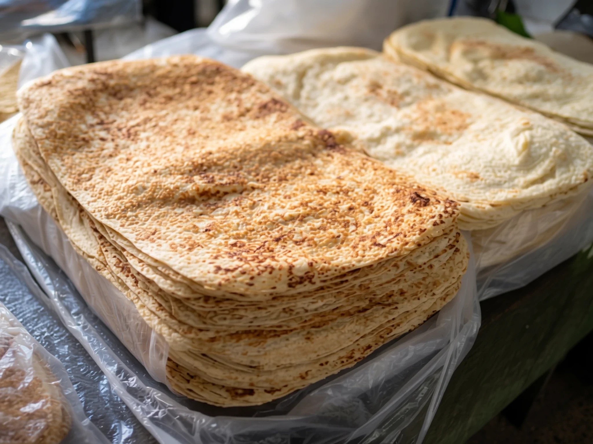
- Dizi — traditional stew-houses in the towns at the foot of the range
Dizi is a slow-cooked stew of lamb, chickpeas, beans and potato, served in its own clay pot. Diners tip the broth into a bowl, then mash the solids with bread. It is a filling lunch.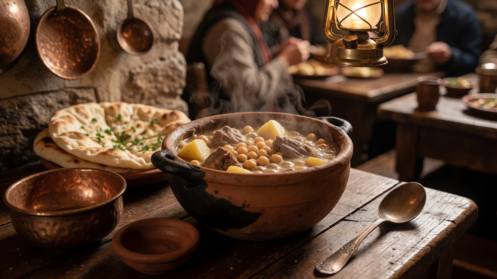
- Bakhtiari kebab — grill houses on the main roads and in bazaar streets
Bakhtiari kebab is lamb or chicken grilled over charcoal and served with rice, often saffron-scented, and grilled tomato. It is linked with the Bakhtiari people of the central Zagros, and grill houses along the main roads serve it quickly. - Kashk — village shops and the weekly market
Kashk is dried, sour whey or yogurt, sold as a hard lump or powder. Cooks stir it into stews or fry it with onion and herbs. It keeps for months, which made it useful for herding households, and the best is often bought from village shops. - Tahdig — family tables and home-cooking restaurants in the towns
Tahdig is the crisp, golden crust that forms at the bottom of a rice pot. It is served at home and in restaurants, and it is often the most prized part of a family meal, especially when guests are present.
Plan it
Best time. April and May bring green pasture and wildflowers, and September and October offer clearer weather and cooler valleys. Winters are severe, with heavy snow at height, and summer afternoons are hot in the lowlands.
How long. 3–5
Getting there. Fly into Shiraz, Isfahan or Kermanshah, then continue by road. Long bus and shared taxi routes cross the range, and many visitors hire a car with a driver. Check the current travel advice for your nationality before booking, especially for border areas.
Budget. mid
Tips
- Book domestic flights and hotels ahead of Nowruz and the summer holidays, when travel peaks
- Start walks early; afternoon storms are common in spring and summer
- Carry cash, as foreign cards often do not work in Iran
- Bring bottled or boiled water and extra supplies for long mountain drives
- Check road conditions before any high pass, since snow can close routes
Etiquette
- Dress modestly, and carry a headscarf if you are a woman travelling in Iran
- Ask before photographing people, especially in villages and at shrines
- Accept tea when it is offered, and remove your shoes at the door of a village home when invited in
Nearby
Sources
- Wikidata Q167021 (CC0)
- Wikipedia: Zagros Mountains (rev 1379510248) (CC BY-SA 4.0)
- Wikivoyage: Zagros Mountains (CC BY-SA 4.0)
- Zagros Mountains, Iran, SRTM Shaded Relief Anaglyph (NASA, via Wikimedia Commons) (Public domain)
- The view of Dena from Semirom road (Alireza Javaheri, via Wikimedia Commons) (CC BY 3.0)
- Stone-paved mountain road in Arjan, Behbahan (Photogir, via Wikimedia Commons) (CC BY-SA 4.0)
- Dalma ceramic vessel (The Metropolitan Museum of Art, via Wikimedia Commons) (CC0 1.0)
- Mountain child, Palangan, Kurdistan (Salar Arkan, via Wikimedia Commons) (CC BY-SA 4.0)
- The environs of Borujerd (Goldasht) (Mandana-r, via Wikimedia Commons) (CC BY 3.0)
- Zagros, Irak: Zagrosgebirge in der Provinz Erbil (kyselak, via Wikimedia Commons) (CC BY-SA 4.0)
- Wild Goat Herd, Zagros, Behbahan (Photogir, via Wikimedia Commons) (CC BY-SA 4.0)


