Yoho National Park
Yoho National Park, Canada
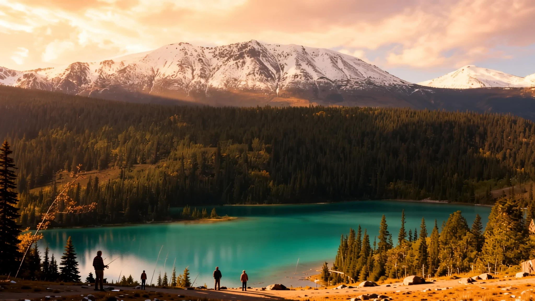
Yoho is the smallest of the Canadian Rocky parks, with glacier-fed lakes, a towering waterfall and fossil beds that rank among the world's richest.
The place
Yoho National Park sits in the Rocky Mountains of southeastern British Columbia, on the western side of the Continental Divide. It borders Kootenay National Park to the south and Banff National Park across the line in Alberta. Yoho is the smallest of the four national parks that make up this cluster in the region. Together with three provincial parks, they form the Canadian Rocky Mountain Parks World Heritage Site.
Most of the park is steep, glaciated country. Icefields feed rivers, and peaks rise above valleys that ice once carved. The weather is patchy and changes quickly. Because the park lies on the wetter side of the divide, it gets more precipitation than places to the east, and the higher ground gets the most. Expect sun, cloud and sudden rain, sometimes within a single afternoon.
The park is small enough to explore in a few days, and most visitors come for hiking and sightseeing. Summer is the main season, when trails are clear and campgrounds are open. Winter brings a different crowd, because the region is a centre for ice climbing and people travel from many countries to climb frozen waterfalls.
Field, a village just outside the boundary beside the Trans-Canada Highway, houses the park's administrative and visitor centre and most of its food and lodging. Lake Louise, a short drive away, offers more choice. Plan on a car, since the park is poorly served by public transport.
Its story
Long before the park existed, the land belonged to the Secwepemc and Ktunaxa First Nations. The Ktunaxa in particular used Kicking Horse Pass to cross the mountains and reach hunting grounds on the far side of the range. That route was in use well before any park boundary was drawn.
The park grew out of the railway. When Prime Minister John A. Macdonald and his wife Agnes travelled through the Rockies on the newly finished Canadian Pacific Railway, Canada's first transcontinental line, the government set aside reserves in the mountains. Yoho began as a small reserve around Mount Stephen, centred on a stopover hotel at Field where passengers broke their journey. It was much smaller than the park is today.
Settlers and tourists reached the valleys beyond the railway corridor slowly. Emerald Lake was first reached by non-Indigenous visitors in 1882. In 1896, Jean Habel, a German explorer who also climbed mountains, headed a party travelling along the North Fork of the Wapta River, which was later given the name Yoho River. Takakkaw Falls and the rest of the valley's marvels left a strong impression on him.
Geology is the other story. The Canadian Rockies are built of sedimentary rock rich in fossils. Mount Stephen has long been known for its trilobites, found before the Burgess Shale was discovered in 1909 by Charles Doolittle Walcott. The Burgess Shale preserves soft-bodied sea creatures in remarkable detail. Farther south, the Ice River Complex, an igneous intrusion, holds deposits of sodalite, an ornamental stone.
What to see
- Spiral Tunnels Viewpoints — Along the Trans-Canada Highway
The Spiral Tunnels viewpoints let you watch trains enter and leave the spiral tunnels at the same time. The railway loops back into the mountain to gain height, so from the viewpoint you can see both ends of one train at once. Bring binoculars and allow time for a long freight train to pass. It is one of the clearest explanations of how the railway climbed these mountains.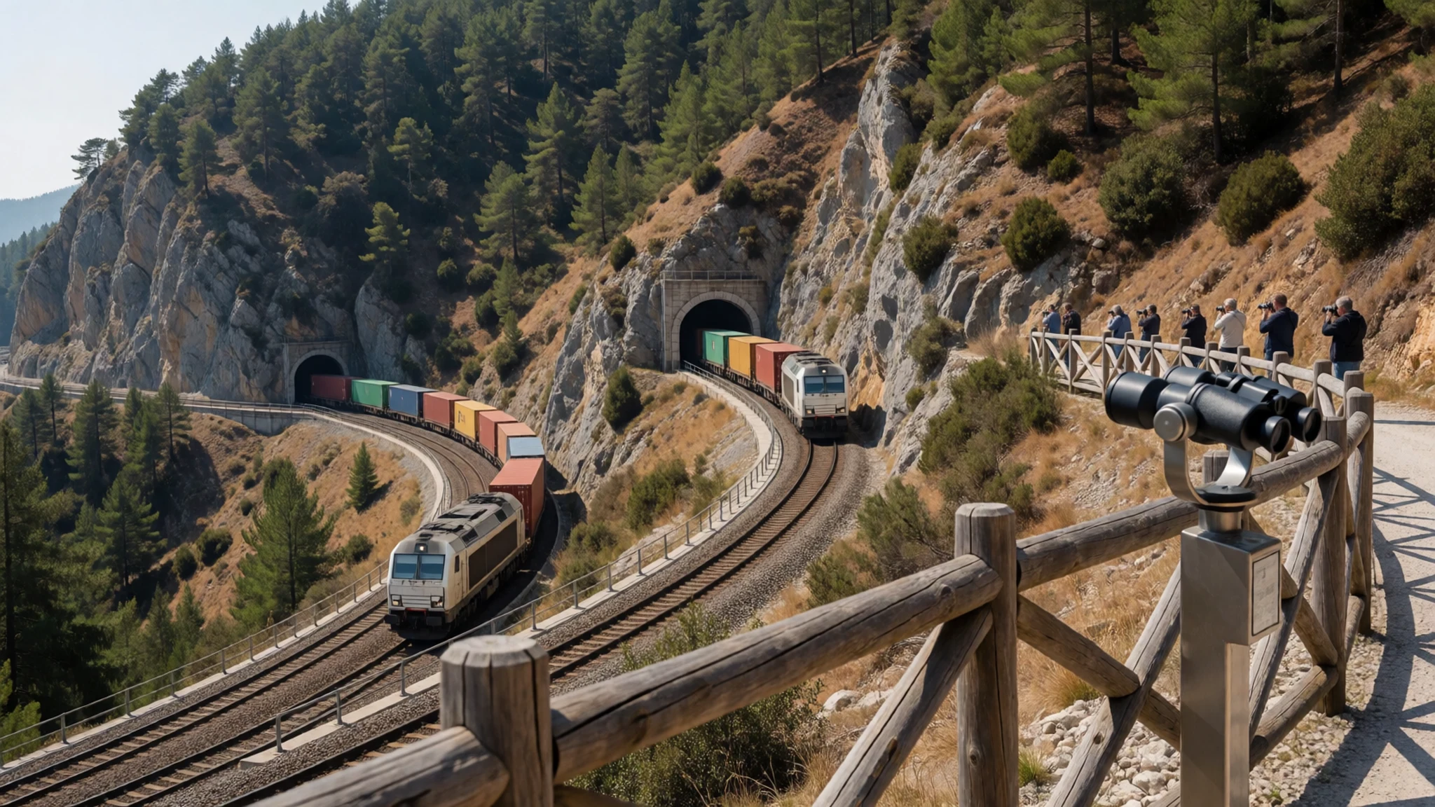
- Takakkaw Falls — Yoho valley, north of Field
Takakkaw Falls is the second highest known waterfall in Canada, according to the park listings. Meltwater from the ice plunges in a long white plume that you can see from the road. Trails start at the base, so you can walk close, but the spray soaks anything not sealed. Go in the morning, when the light falls on the cliff and the crowds are thinner.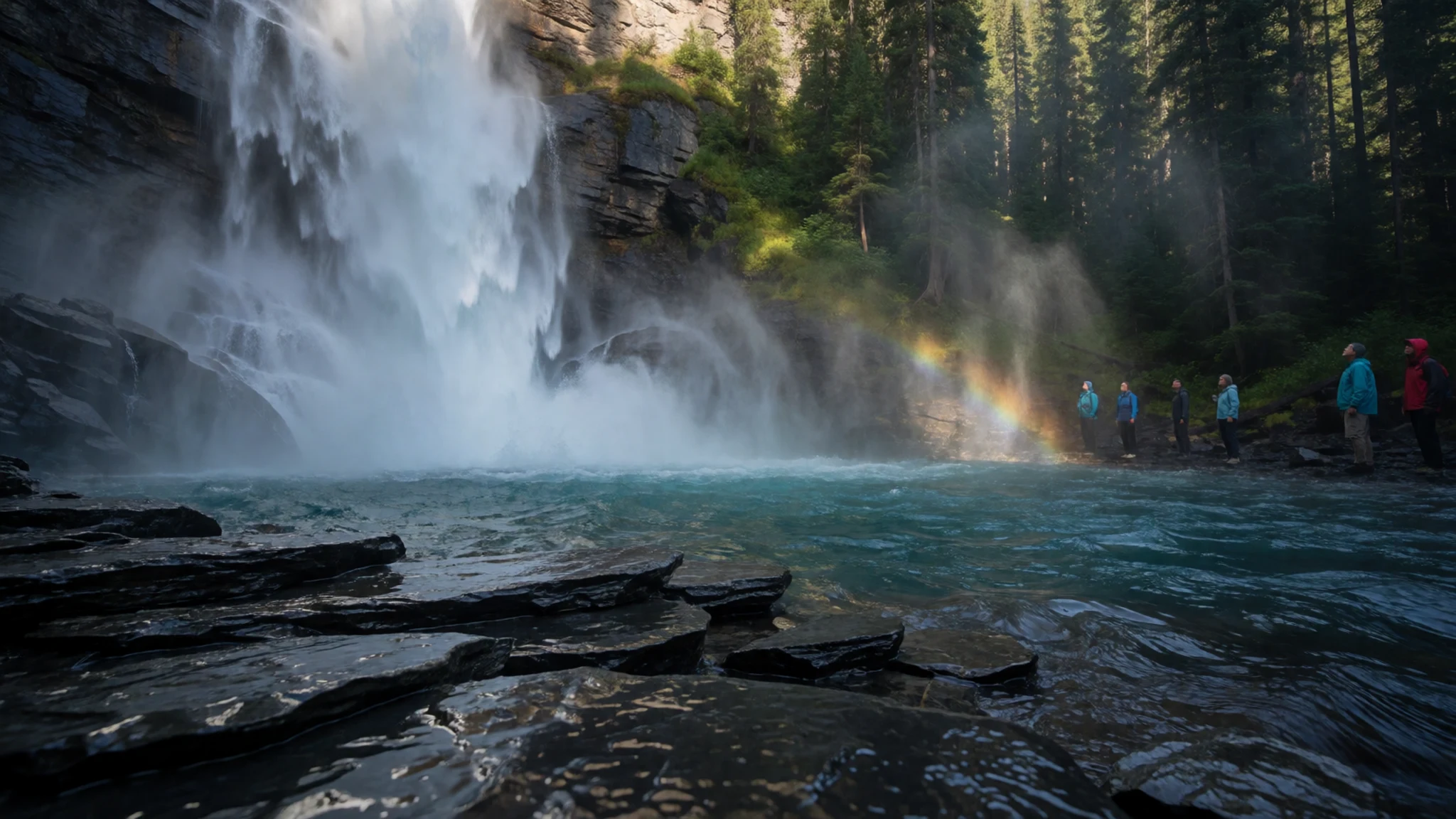
- Wapta Falls — Kicking Horse River, western side of the park
Wapta Falls is a broad waterfall on the Kicking Horse River, and meltwater makes it fullest in early summer. The approach is a walk through forest, and the ground can be muddy, so wear boots. It is quieter than Takakkaw, though it gets busy on fine weekends. Stop at the lower viewpoint first, then decide whether to go further up the river.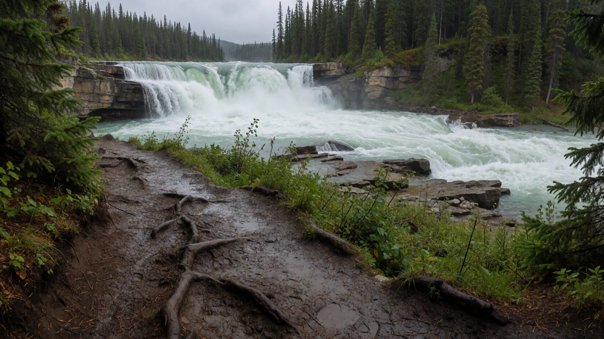
- Emerald Lake — Emerald Lake Road, near Field
Emerald Lake is a glacier-fed lake whose colour shifts with the light. A loop path runs around the shore, and a lodge stands at the water's edge. The lake was first reached by non-Indigenous visitors in 1882, which is part of its story. Summer weekends get busy, so arrive early or late in the day for quieter water.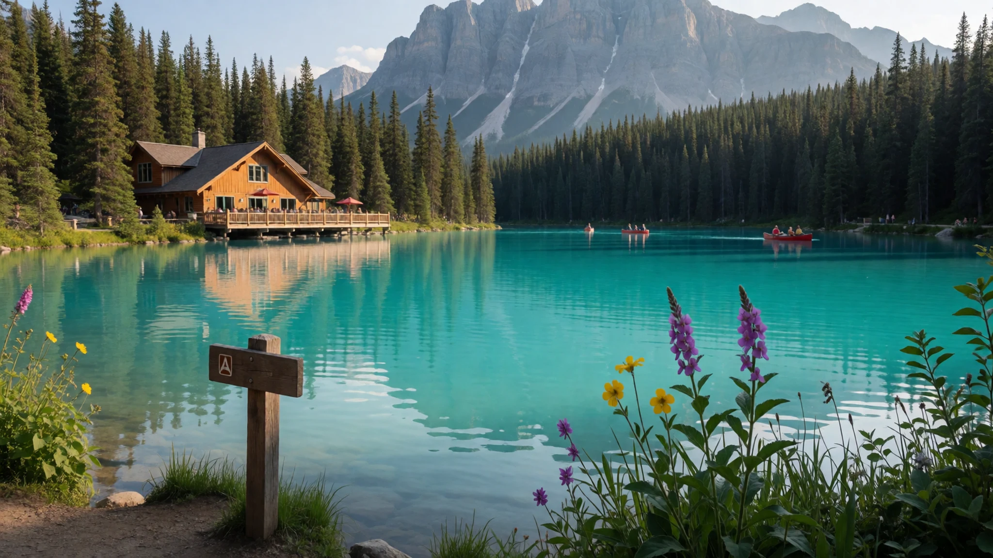
- Natural Bridge — Kicking Horse River, near Field
The Natural Bridge is a span of solid rock carved by the Kicking Horse River, which runs beneath it. It is one of the park's clearest examples of water cutting through stone, in the layered sedimentary rock that makes up much of the Rockies. The viewpoints are close to the road, so it works as a short stop between bigger sights. Keep back from the edge, where the rock can be slippery.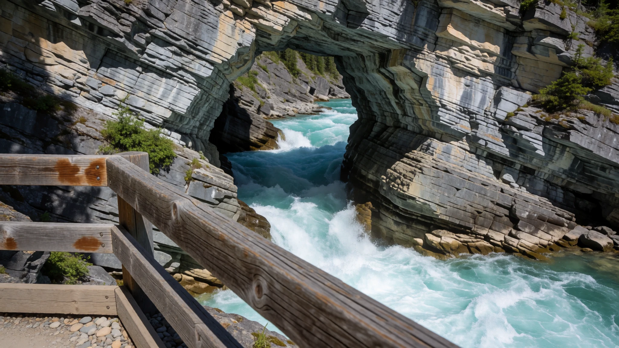
- Burgess Shale Fossil Beds — Mount Stephen area, near Field
The Burgess Shale fossil beds hold some of the world's richest deposits of ancient soft-bodied animals, preserved in shale laid down under an ancient sea. Access is controlled to protect the site, so check the official Parks Canada site for how to visit. Never pick up or split rock, because the fossils are fragile and irreplaceable. This is the best known of a group of Burgess sites.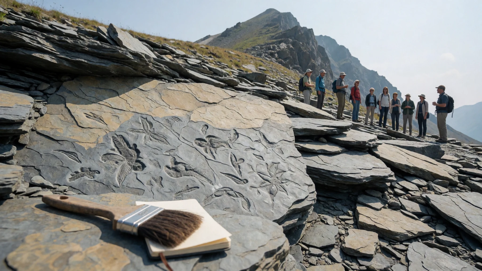
Culture
Yoho lies within the traditional territories of the Secwepemc and Ktunaxa peoples, and the land still carries their history of travel across the passes. Interpretive signs at trailheads and visitor centres often tell that story from several viewpoints, and they are worth reading before you set off.
Life in the park is quiet and outdoors-focused. Hikers greet each other on the trail, step aside for people coming uphill, and keep voices low near wildlife and in campsites at night. The park asks visitors to stay on marked paths, because the lakeshores and falls are fragile and the animals expect to see people only on the trail.
Meals in Field and at Lake Louise are relaxed, and tipping in restaurants is customary in Canada. Cards are widely accepted, though carrying some cash helps for small operators. In winter, ice climbers and winter walkers should check conditions before heading out and respect the people already on the route.
When you meet elk, bears or mountain goats on a path, give them plenty of room and never approach one for a photograph.
What to wear
Yoho's traditional dress comes from the Secwepemc and Ktunaxa peoples, whose territories the park lies within. Their clothing traditions include tanned hide and beadwork, worn for ceremony and everyday life. The sources available here do not describe specific garments, so if you want to see this work, look for pieces by local artists in cultural centres and galleries rather than assuming a single style.
Today most people in the park dress for the outdoors: synthetic layers, fleece, waterproof shells and sturdy hiking boots. In Field and at Lake Louise, casual clothes are normal even in restaurants, and nobody expects formal dress.
A visitor should dress in layers. The weather turns quickly, and high ground and evenings are much colder than the valley floor, with snow possible even in summer at altitude. Pack a waterproof jacket, a warm mid-layer and a hat. Wear boots with good grip for wet roots, mud and loose rock, and bring sun protection, since the sun is strong at height. There are no particular dress rules at trailheads or lodges.
What to eat
- Packed lunch from a Field grocery — Grocery shops in Field village
Most food outlets in Yoho sit in Field, just outside the boundary, so the simplest lunch is a packed one from a village shop. Bread, cheese, cured meat, fruit and nuts travel well. Eat it at a viewpoint or on the Emerald Lake shore. Carry extra water, because the trails have no shops.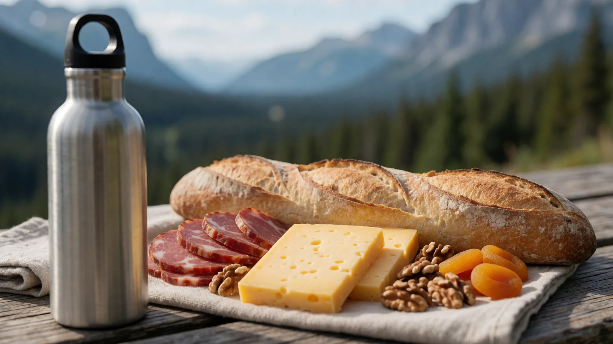
- Dinner in a Field dining room — Dining rooms in Field village
Field has most of the park's eating places, including the dining rooms at its main lodges. Expect hearty Canadian fare after a day on the trails: soups, burgers, grilled fish and pies. In summer evenings the village fills, so book a table ahead.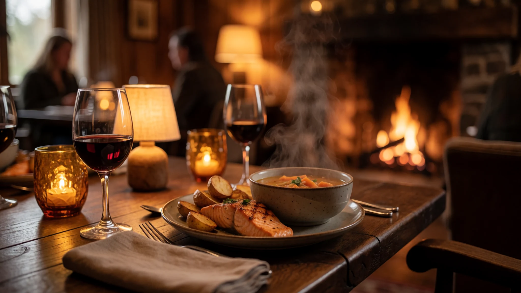
- Breakfast before the trail at Lake Louise — Lake Louise, on the highway to the east
Lake Louise has a number of options for a sit-down breakfast, which makes it a useful stop when you are passing through on the highway. Eat well before a long hike, since trailheads fill from early morning in summer. - Hot drinks from a Field café — Cafés in Field village
Coffee and hot chocolate are the easiest comfort in cold weather, and small cafés in Field serve them to walkers coming off the trail. Take a cup for the drive, since the highway is quiet and the weather turns quickly. - Campsite cooking — The park's campgrounds
The park's four campgrounds have drinking water, so many visitors cook their own dinners. Bring a stove, fuel and pans, and make pasta or rice with vegetables bought in Field. Store food in sealed containers away from your tent, because animals come to food smells.
Plan it
Best time. Late June to September is the main season, when trails are open and campgrounds run. July and August are the warmest and busiest months. Camping begins in May, and the campgrounds close by mid-October. Winter suits ice climbers, but the cold and sudden storms make it hard going. Expect snow at height even in summer.
How long. 2–3
Getting there. Fly into Calgary or Vancouver and drive; the Trans-Canada Highway crosses the park from east to west. Buses stop at Lake Louise and Golden, not in the park, and there are no train halts nearby, so a rental car is the practical choice.
Budget. mid
Tips
- Book accommodation in Field early for summer, because the choice is limited
- Start hikes early, since trailheads fill during summer afternoons
- Check campground bookings and current conditions on the official Parks Canada site, https://parks.canada.ca/pn-np/bc/yoho
- Carry layers and waterproofs, as the weather changes quickly
- Carry some cash for small operators, though cards are widely accepted
Etiquette
- Keep a wide berth from wildlife and never feed animals
- Stay on marked trails to protect fragile lakeshores and falls
- Make noise on the trail and travel in groups where you can
Nearby
Sources
- Wikidata Q828404 (CC0)
- Wikipedia (rev 1376408029) (CC BY-SA 4.0)
- Wikivoyage (rev 4938870) (CC BY-SA 4.0)
- Emerald Lake in Yoho National Park, British Columbia, Canada (JZ85) (CC BY 3.0)
- Takakkaw Falls (Jack Borno) (CC BY 3.0)
- Chancellor Peak, Yoho National Park (Tupungato) (CC BY 2.5)
- Emerald Lake, Yoho National Park, Canada (China Crisis) (CC BY 3.0)
- Bridge in Yoho (Jack Borno) (CC BY 3.0)
- Yoho National Park, Canada, IMG 4734 (Deror_avi) (CC BY-SA 4.0)
- Yoho National Park, Canada, IMG 4735 (Deror_avi) (CC BY-SA 4.0)
- Yoho National Park, Canada, IMG 4736 (Deror_avi) (CC BY-SA 4.0)


