Wrangell-St. Elias National Park and Preserve
Wrangell-St. Elias National Park and Preserve, United States
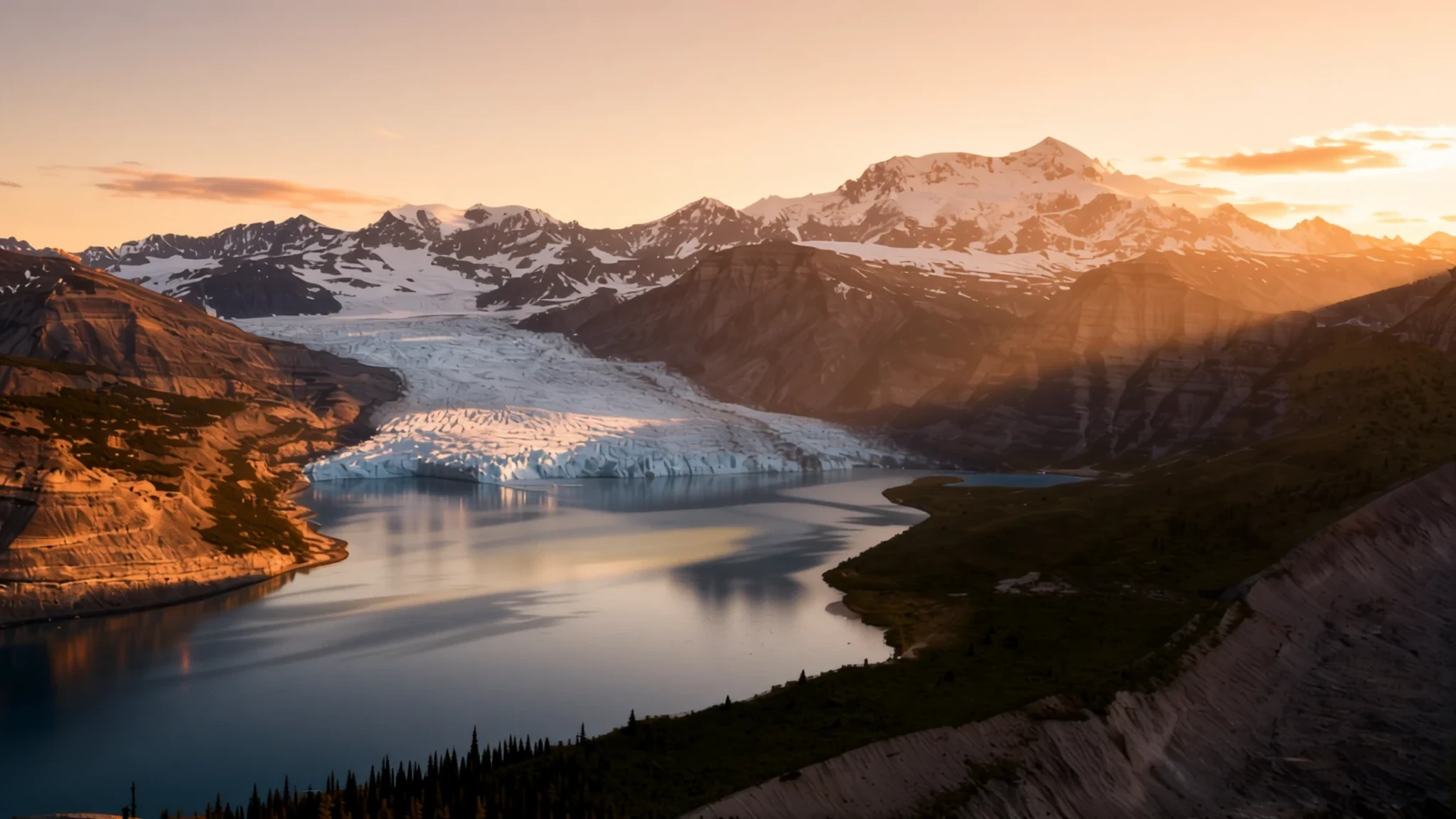
A park of volcanoes and glaciers in south-central Alaska, so large that most visitors see only a corner of it.
The place
The land inside Wrangell–St. Elias National Park and Preserve sits in south-central Alaska, where the Wrangell Mountains meet a large share of the Saint Elias Range. The park covers more ground than any other American national park, and its scale is the first thing most people notice on a map. Two forces shape the landscape and work against each other: volcanoes that push the land upward and glaciers that grind it down. Mount Wrangell and Mount Churchill are among the park's volcanoes, while Mount Saint Elias, its highest summit, ranks as the runner-up in height across the US and Canada alike. What makes the setting unusual is how quickly the peaks rise from the sea. Some summits stand close to tidewater, which creates an extreme difference in height over a short horizontal distance.
Inland, the Bagley Icefield fills much of the interior, and the park holds a large share of the permanently ice-covered ground in Alaska. Malaspina Glacier, a broad piedmont ice sheet, spreads across the southern lowlands, while Hubbard Glacier reaches the coast as the longest tidewater glacier in the state. Between the ice lie river valleys, tundra, spruce forest and gravel bars.
The park works less as a single destination than as a collection of access points. Most people reach the central area by gravel road, by boat or by small plane. Black and brown bears live here, along with small herds of caribou, but the park's size spreads animals widely, so sightings are never guaranteed. Distances are long, weather changes quickly, and facilities are scarce once the gravel ends.
Its story
The land now inside Wrangell–St. Elias National Park and Preserve has been travelled for a long time. Archaeological evidence places people in the Wrangell Mountains well before European contact. The Ahtna people settled in small communities along the Copper River, which remains the park's great artery. Upper Tanana speakers lived along the Nabesna and Chisana rivers, Eyak communities sat near the river mouth on the Gulf of Alaska, and Tlingit families spread along the coast, some reaching Yakutat Bay.
Russian traders arrived next, drawn first by furs and then by copper. Trading posts were set up near the coast, and one exploring party was sent to the lower Copper River after reports that local people made tools and points from pure copper. The region was dangerous for outsiders. Several parties were attacked, and some explorers never returned. Later Russian expeditions pushed further up the river, and a trading post was established near Taral, deeper inland than the coastal forts had reached.
The modern story turned on a single mineral. In the early twentieth century, prospectors found a rich copper deposit near the centre of what is now the park, and the boomtown of Kennecott grew up around the mine and its mills. The operation was profitable for a time, but it eventually closed, and its buildings were left standing among the hills. Today those ruins form a National Historic Landmark district.
The protection that created the park came later. President Jimmy Carter first safeguarded the land as a national monument under the Antiquities Act, while Congress worked out how Alaska's public lands would be divided. Final legislation turned the monument into the national park and preserve that exists today.
What to see
- Kennecott Mines National Historic Landmark — Central park, reached from McCarthy
The Kennecott mill buildings and mine camp sit in the middle of the park, reached by gravel road and a footpath from McCarthy. The site shows the mining techniques of the early twentieth century, when ore was crushed and concentrated in large mills. The ruins still stand against the mountains. As a National Historic Landmark district, the buildings are fragile, so visitors should look without climbing on them.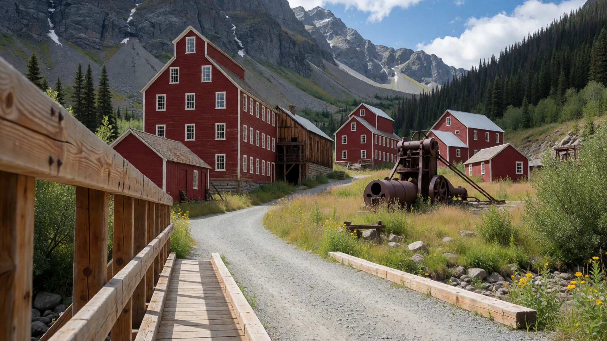
- Malaspina Glacier — Southern lowlands, near the Gulf of Alaska
Malaspina Glacier lies mainly within the park's southern lowlands. It is the largest piedmont glacier in North America, spreading out from the mountains onto flat ground. Seen from the air or from the edge of the coastal forest, its scale is hard to judge. Much of its surface is covered in gravel and debris, so from the ground it can look more like a plain than a glacier.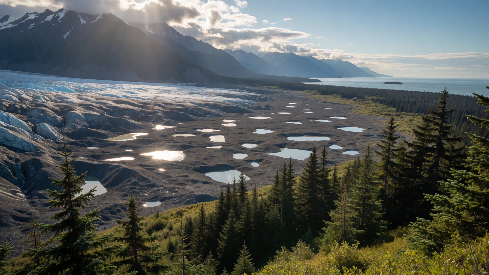
- Bagley Icefield — Interior, reached by air
The Bagley Icefield fills much of the park's interior, a high plateau of snow and ice that feeds the glaciers running toward the valleys. Access is almost always by small plane or by a long trek with a guide. Crossing it requires glacier travel skills, knowledge of crevasse rescue and settled weather, so most people admire it from the air or from its edges.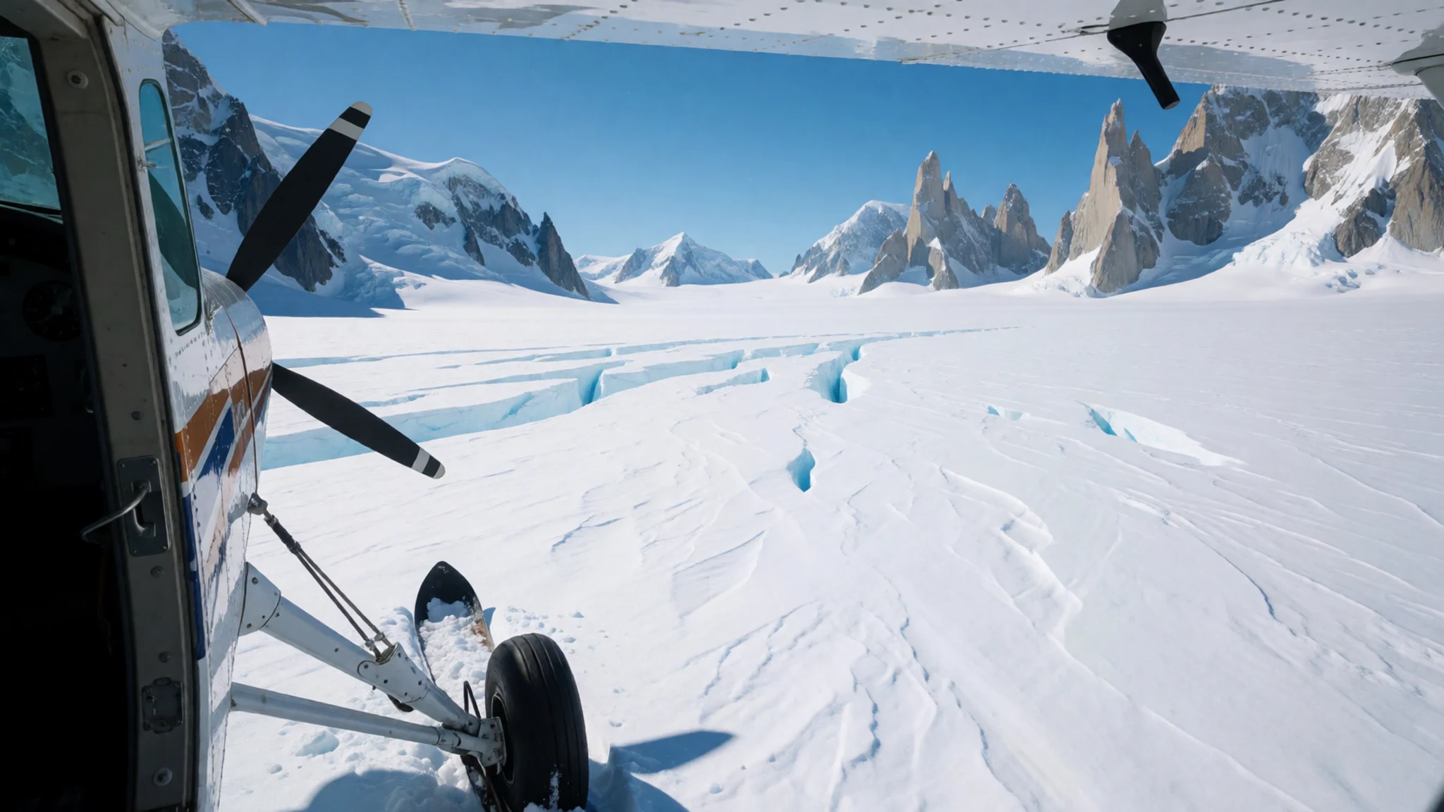
- Wildlife of the park — Valleys, river bars and tundra across the park
Black bears and brown bears live in the park, along with small groups of caribou. The park's size spreads animals thinly, so some visitors see less wildlife than they would in more visited parts of Alaska. Valley bottoms, river bars and open tundra offer the best chances, and early mornings and evenings are usually the most productive times to look.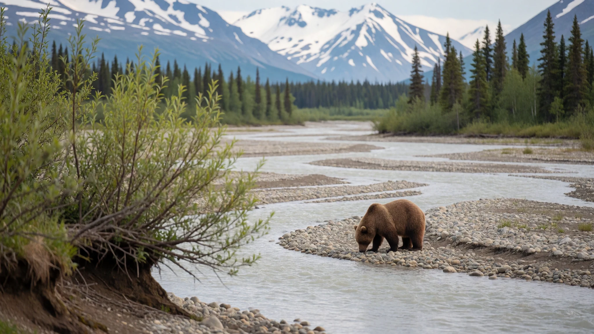
- Flightseeing from McCarthy — McCarthy airstrip and local charter operators
Flightseeing from McCarthy is a common way to see the central parts of the park, and a flight of an hour or two can cover a great deal of ice and peak. Several air taxi operators based in McCarthy run scenic trips. Summer demand is high, so bookings should be made ahead, and low cloud can cancel flights for days.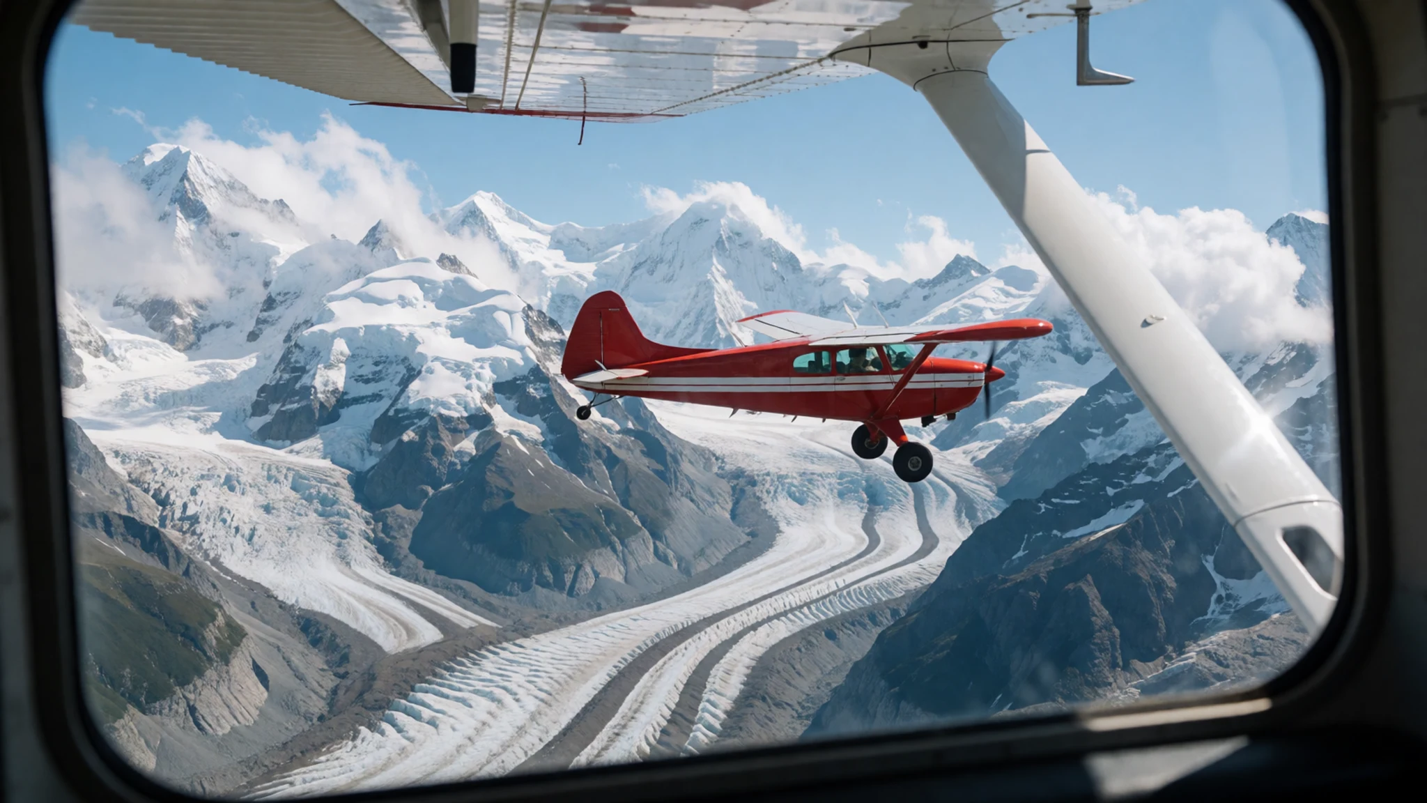
Culture
Wrangell–St. Elias National Park and Preserve lies within the homelands of Ahtna, Upper Tanana, Eyak and Tlingit peoples, and many local households still rely on hunting, fishing and gathering under customs that predate the park. Ahtna communities along the Copper River remain closely tied to the land, and many residents regard the country as their own territory rather than a distant wilderness. Subsistence harvests shape daily life and the calendar of the seasons, so animals and fish carry a practical meaning for families who depend on them.
Life in the area is shaped by distance. McCarthy is a small community of residents, seasonal workers and lodge owners, and many buildings sit on private land near the old Kennecott mining district. Roads are unpaved, services are thin, and the community depends on a mix of tourism, aviation and year-round self-reliance. Summer visitors find an easy and informal atmosphere, but it rests on people who live with the place through the long winter.
Local expectations also extend to the land itself. Off-road vehicles require permits, and the boundaries between public and private land are not always obvious on the ground. Respecting those boundaries is more than a legal matter; it keeps access open for everyone who comes after.
Ask before crossing private land around McCarthy and Kennecott, and keep to marked routes and gravel bars rather than cutting across fragile tundra.
What to wear
Traditional dress in the region around Wrangell–St. Elias National Park and Preserve reflects the Ahtna, Tlingit and interior Athabascan peoples who lived here. Clothing used tanned hide, fur and woven plant fibres suited to river, coast and winter. Ahtna women are known for spruce-root basketry, and Tlingit weavers produced Chilkat and Ravenstail robes from mountain goat wool and cedar bark. These robes were worn at ceremonies rather than in daily life. Beaded moccasins and hide garments were common in interior communities, and some are still made for dance and gatherings.
What people wear now is practical. Residents dress for work and weather in waterproof jackets, wool and fleece layers, rubber boots and sturdy trousers, and a flannel shirt is as common as any outdoor label. Dress is understated, and nobody expects formal clothing at lodges or on the road.
Visitors should dress in layers. Summer days can be warm, but glacier edges and the high country are cold, wet and windy, so a waterproof shell and a warm mid-layer matter more than style. Sturdy boots with ankle support suit moraine, gravel and muddy trails. From June to August, long sleeves, trousers and a headnet help against mosquitoes and biting flies.
What to eat
- Copper River sockeye salmon — Lodge dining rooms and roadhouses along the Copper River corridor
Sockeye from the Copper River is the regional dish most worth seeking out. It is grilled, smoked or served plainly with potatoes in the dining rooms of lodges and roadhouses along the river corridor during the summer run. Ask what is fresh that day, since supplies depend on the catch and the season.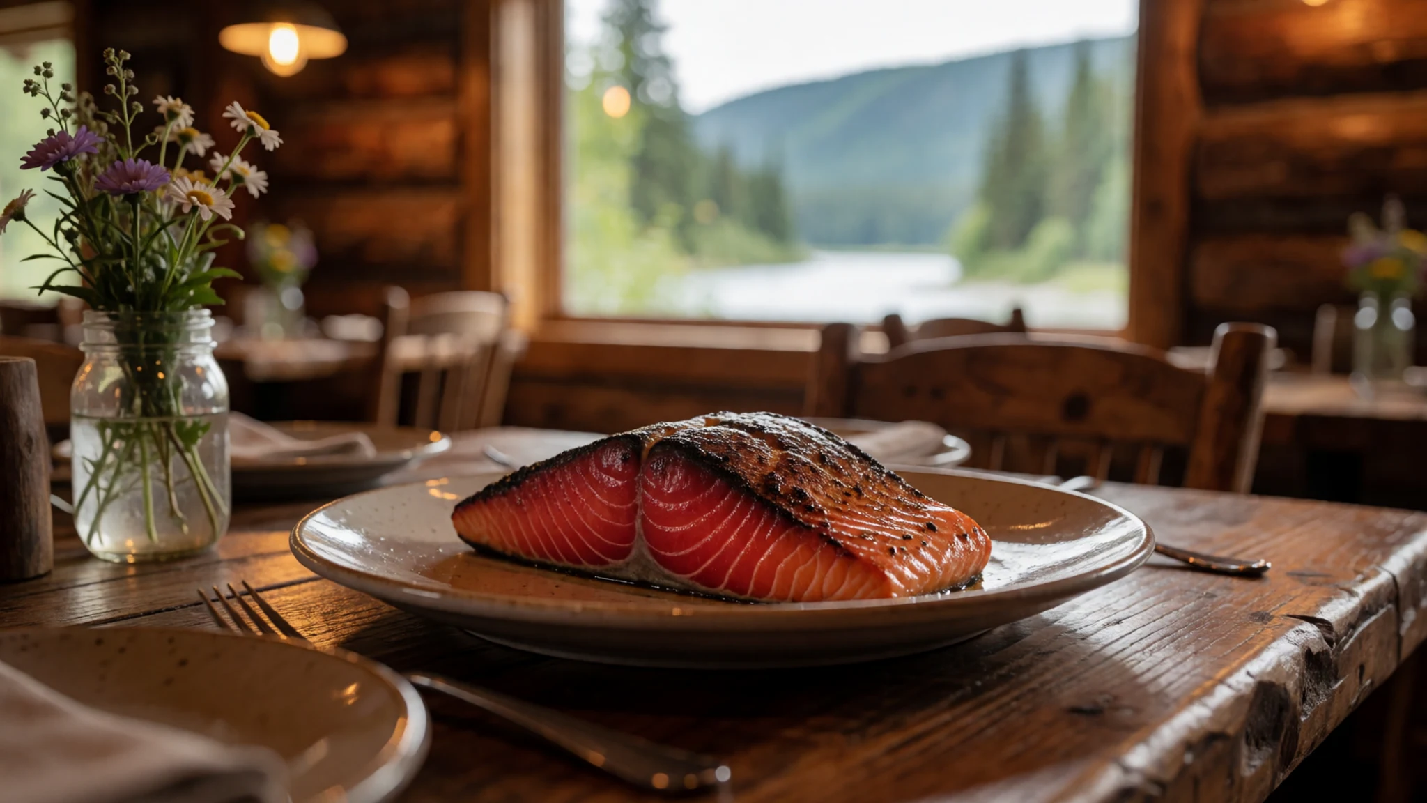
- Reindeer sausage — Grill menus and roadside stands in the Copper Basin
Reindeer sausage is a northern staple, often grilled and served with mustard, onions and fried potatoes. It is a filling lunch after a day on the trails and a good way to try a local meat that is not common elsewhere in North America.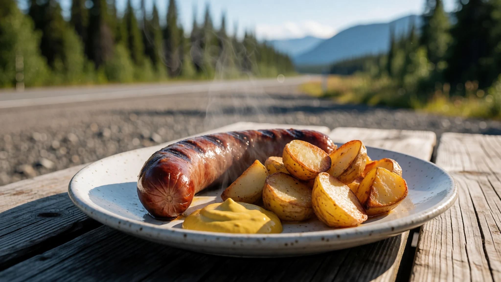
- Sourdough pancakes — Breakfast tables at McCarthy lodges and guesthouses
Breakfast in the Alaskan interior often means thick pancakes made from a sourdough starter, served with birch syrup or local jam. They suit the early start that long glacier days demand, and many lodges make their batter from scratch. - Wild berries and highbush cranberry — Roadside thickets and river banks in late summer
Blueberries ripen along the roadsides and river banks in late summer, and highbush cranberries, tart and bright red, are picked for jam and sauce. Pick only where access is public, and leave plenty for wildlife that depends on the same bushes. - Halibut chowder — Eateries in the coastal towns of Cordova and Yakutat
Chowder made with Pacific halibut or other fish reflects the coastal side of the region, where the Gulf of Alaska meets the mountains. It is a warming dish for wet, cool evenings, and it tends to be served in coastal towns that visitors reach by air or boat.
Plan it
Best time. June to August gives the most reliable road and air access and the longest days, with August the warmest month. June brings flowers and biting insects, late summer can bring drizzle, and the first snows usually arrive in September. The high mountains keep snow all year, so glacier travel is possible in summer and in the cold months with the right skills.
How long. 3–4
Getting there. Fly into Anchorage, then take a charter or drive the unpaved road from Glennallen or Tok. Air taxis also leave from McCarthy, Valdez, Cordova and Yakutat. The final leg is usually a gravel road or a small plane.
Budget. high
Tips
- Book flightseeing and air taxis early, since summer demand is high
- Check road conditions with the park before leaving paved highways
- Carry cash and fuel, because services along the gravel roads are thin
- Start glacier walks early, when the surface is firmer and the weather is often clearer
- Pack a waterproof shell, insect repellent and a headnet from June to August
Etiquette
- Stay on marked routes and gravel bars to protect the tundra
- Ask permission before crossing private land around McCarthy and Kennecott
- Keep a safe distance from bears and store food securely
Nearby
Sources
- Wikidata Q748597 (CC0)
- Wikipedia, Wrangell–St. Elias National Park and Preserve (rev 1379202917) (CC BY-SA 4.0)
- Wikivoyage, Wrangell-St. Elias National Park and Preserve (rev 5358279) (CC BY-SA 4.0)
- Photo: Root Glacier in Wrangell-St. Elias National Park (Public domain)
- Photo: Official Wrangell-St Elias map (NPS) (Public domain)
- Photo: Wrangells Mountains, Alaska (Erin McKittrick) (CC BY 3.0)
- Photo: Wrangells1 (AlaskaTrekker) (CC BY 3.0)
- Photo: Malaspina Glacier from space (NASA) (Public domain)
- Photo: Mount Blackburn and Kennicott Glacier (NPS) (Public domain)
- Photo: Bremner Mining Camp Mechanic's Shop (NPS) (Public domain)
- Photo: McCarthy Road (Sewtex) (CC BY 3.0)


