Wilsons Promontory
Wilsons Promontory, Australia
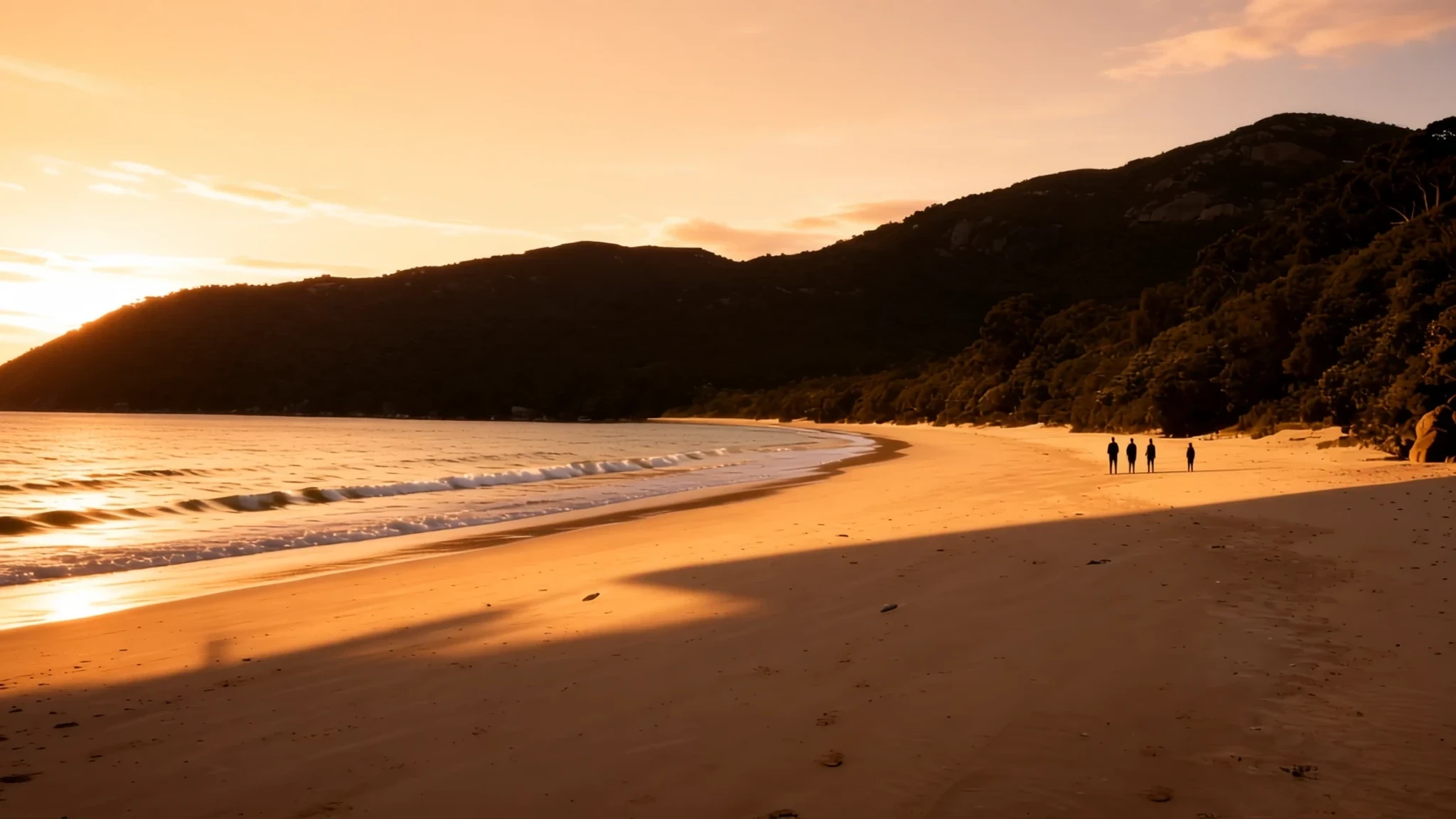
Wilsons Promontory is the southernmost tip of mainland Australia, and its granite headlands, quiet beaches and wombats make it worth the drive from Melbourne.
The place
Wilsons Promontory is a peninsula at the bottom of the Australian mainland, in the state of Victoria. Locals call it Wilsons Prom or simply the Prom, and most of it is protected by a national park, with a marine park reaching out into the water. The southernmost point of the mainland, South Point, lies at about 39 degrees south, and the lighthouse stands nearby at South East Point. The listed elevation for the place is 227 metres.
The land is mostly coastal. Sandy beaches and sheltered coves sit between prominent headlands, while in the south granite cliffs drop sharply into the Southern Ocean. Behind the beaches are dunes and swampy ground, and at low tide wide mudflats appear. Offshore, a scatter of small granite islands forms an important bird area, recognised for the seabirds that breed there.
Tidal River is the main waterway and the hub of the park. It flows into Norman Bay and rises with the tide. The water has an unusual purple-yellow cast, because the tea trees along its banks stain it with tannin. Darby River, the second major river, winds across broad alluvial flats. It was the site of the first park entrance and accommodation from 1909 until the Second World War.
Wildlife is part of the experience. Common wombats are found across much of the park, especially around campsites, and wallabies, kangaroos, emus, koalas and snakes live here too. The weather is a different matter. The peninsula sits in the path of the Roaring Forties, so summer temperatures run far below mainland norms at sea level, while winters and springs bring low-pressure systems and heavy rain.
Its story
The peninsula's history is written as much in its landforms as in any record. Granite forms the bones of the south, where headlands and cliffs have stood against the Southern Ocean for a very long time. Sand has built the dunes and beaches that soften the coast elsewhere. Inland, swamps and tea-tree scrub hold water and colour the rivers as they run to the sea.
The land was cared for by its traditional owners long before any park boundary was drawn, and their connection to Country continues today. The modern story of the park begins with its first arrangements for visitors. From 1909 until the Second World War, the Darby River flats held the original park entrance and a place to stay, giving the earliest visitors a base among the river's meanders.
Nature has added its own chapters. Flooding in March 2011 left erosion damage across parts of the park, and photographs of the gullies show how quickly soft ground can change. Storms and floods shape the coast on a timescale no visitor can ignore.
Today the peninsula is protected by a national park and a marine park. Its wildlife has adjusted to people, and wombats that wander into tents in search of food are a reminder of how close the animals live to the campgrounds. The balance between wildlife and visitors is a running theme for anyone who camps here.
What to see
- South Point — southern end of the peninsula
South Point marks the southernmost tip of the Australian mainland, at the far end of the peninsula. It is a bare, windswept place, and the walk out to the point is short. Come with a warm layer, because the wind off the ocean is cold even in summer, and take time to look back at the granite country you have just crossed.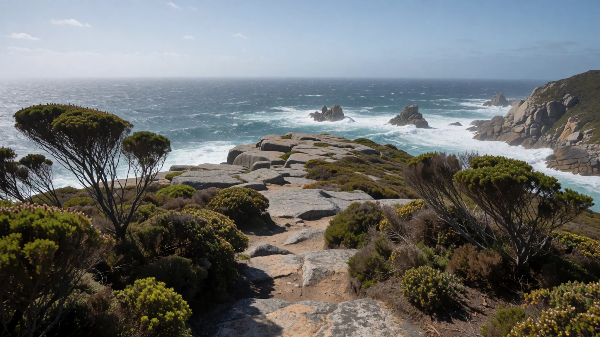
- South East Point and the lighthouse — south-east coast
The Wilsons Promontory Lighthouse stands at South East Point, a short distance from South Point. The headland is exposed and the views along the coast are open. It makes a good half-day outing, and the rocks and tidal flats below are worth a slow look at low tide.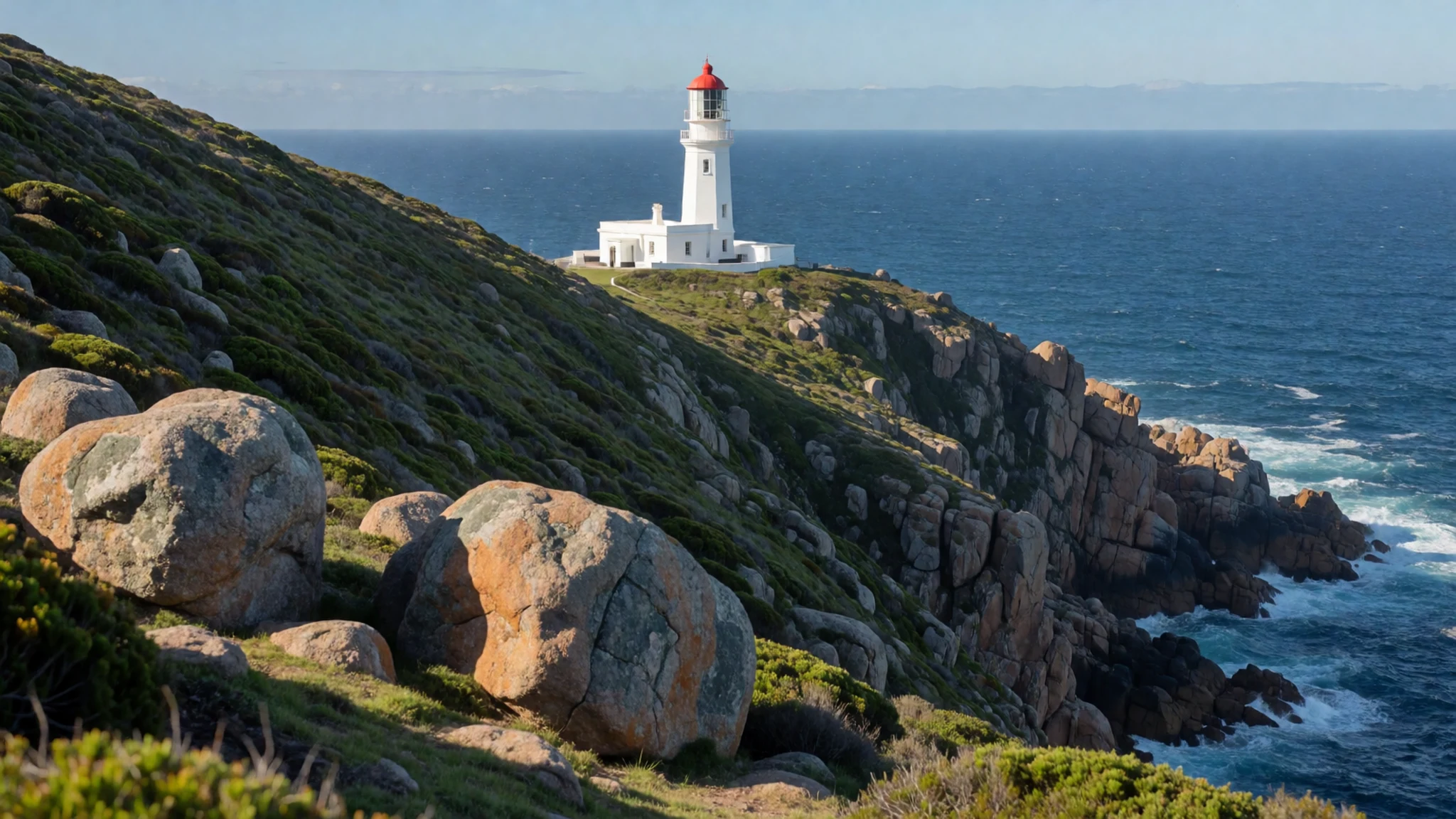
- Tidal River — northern park, the main visitor hub
Tidal River is the park's main waterway and the heart of its visitor facilities. The river swells and falls with the tide as it runs into Norman Bay, and the tea-tree tannin gives the water its distinctive tint. The campground here is the busiest place in the park, so arrive early in the day if you want a site or a quiet walk.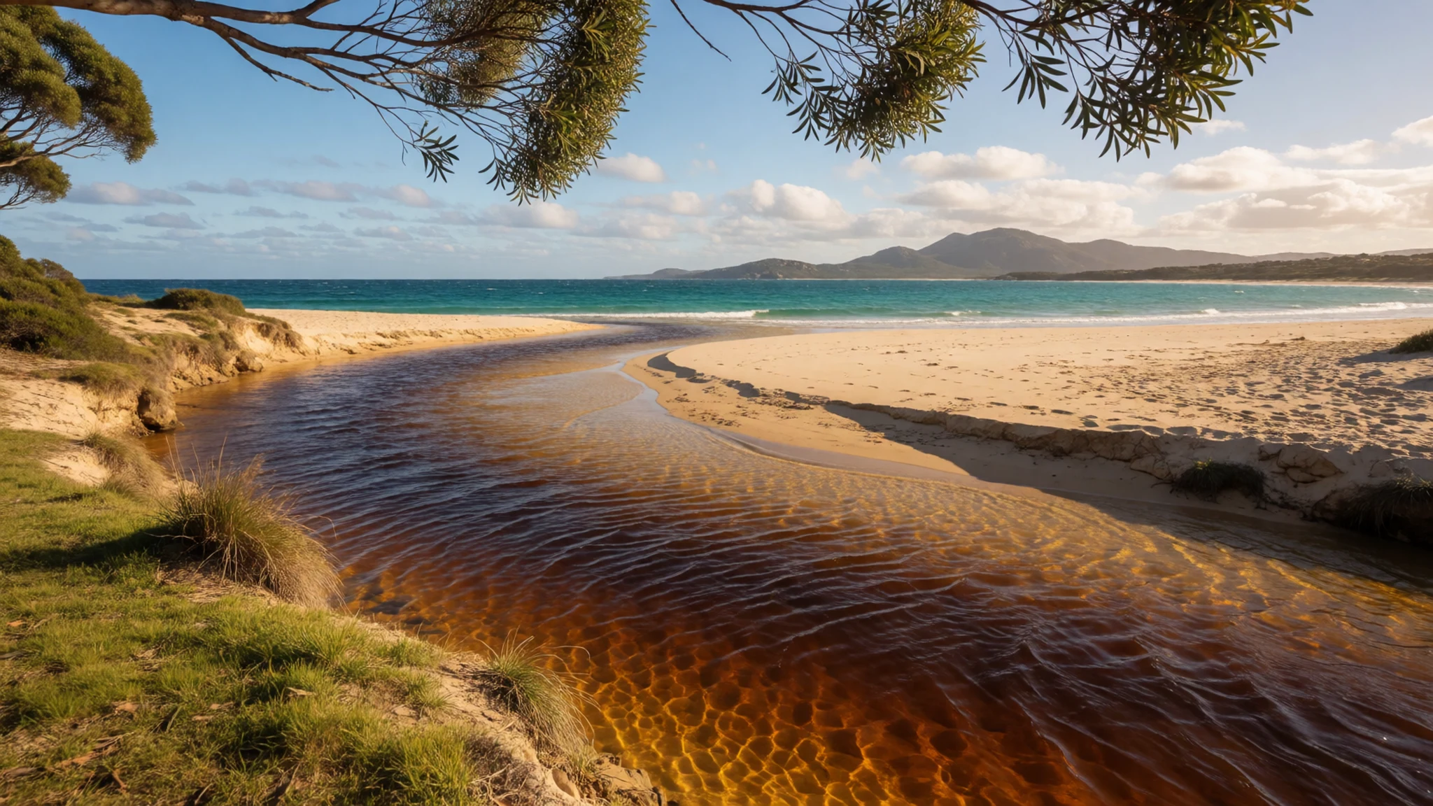
- Big Drift — dune country inside the park
The Big Drift is a large sand dune in the park, one of the clearest examples of the sand country that backs many of the beaches. The sand moves with the wind, so the shape of the dune changes over time. Stay on the marked paths to protect the dune and the plants that hold it together.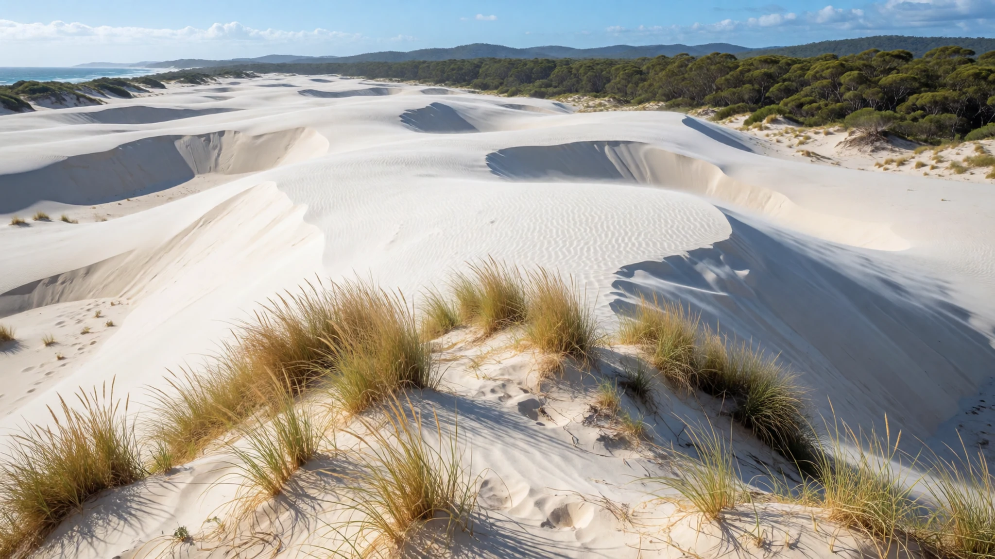
- Five Mile Beach — northern part of the park
Five Mile Beach runs along the northern part of the peninsula, a long stretch of sand with the bush behind it. It is a good choice for an unhurried walk, and the wide beach gives plenty of room even on busy days. Check tide and surf conditions before you swim, and keep an eye on the wind.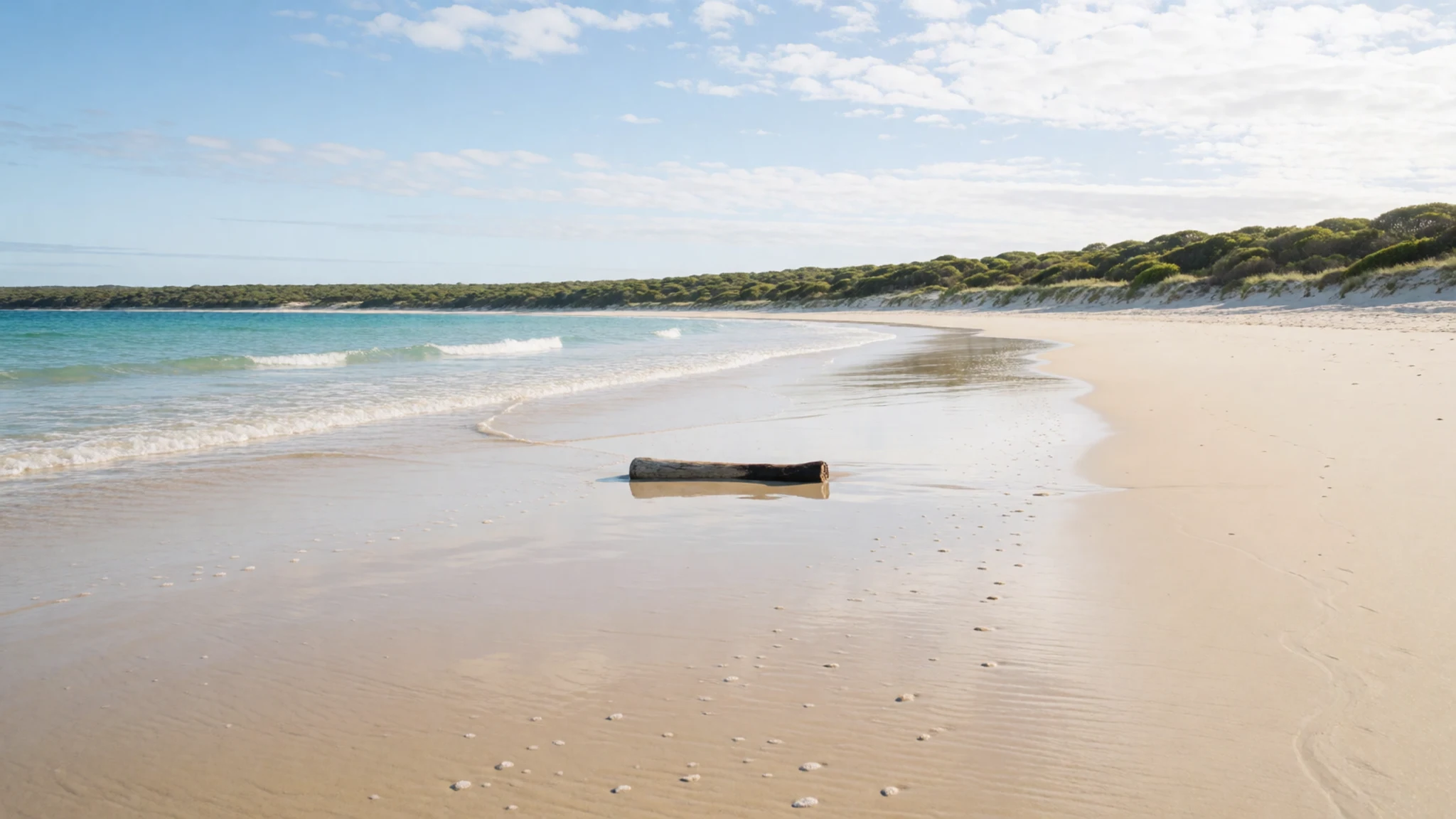
Culture
Wilsons Promontory is less a town than a national park with a camping village at Tidal River, so its culture is largely a culture of outdoor life. People arrive with tents, kayaks and walking boots, and the custom is to leave the place as they found it: rubbish carried out, tracks followed, campsites kept tidy. Visitors share the park with a long list of animals, and the most visible of them learn quickly that campsites are a source of food.
The park is also Country, and the traditional owners' connection to the land runs far deeper than any park boundary. Respect for that connection shows in how people treat cultural sites and signs, and in listening carefully when rangers or local guides explain the land's history.
Sound carries at night in the campgrounds, so keep voices low once the camps settle. Keep food sealed and never feed the wombats, wallabies or emus, because animals that learn to raid tents and bins put themselves at risk.
What to wear
The peninsula has no distinctive dress tradition of its own that the brief can point to, so this section looks at the wider Australian setting. Aboriginal and Torres Strait Islander peoples have rich traditions of adornment and craft, tied to particular communities and to Country. The best way to learn about them is through community-run cultural centres and the people who share them, rather than through costume or souvenirs.
What people wear now is shaped by weather and terrain. Campers and walkers favour practical layers: a fleece or light jacket, a waterproof shell, sturdy closed shoes for granite and loose sand, and a wide-brimmed hat for the sun. Beach visitors often wear quick-dry shorts and a rash vest, and it is common to see walking gear at the campground whatever the forecast.
For a visitor, the rules are practical rather than ceremonial. The wind off the Southern Ocean is cold even in summer, so pack more layers than seems necessary. Closed shoes matter on rocky tracks, and sand gets into everything, so a spare pair of socks helps. The sun is strong in every season, so sunscreen and a hat are sensible throughout the year. The park has no religious dress code, but modest, practical clothing suits the bush and the coast best.
What to eat
- Gippsland artisanal cheeses — farm-gate shops and cheese makers in Gippsland towns
Gippsland, the region that the park sits in, is known for artisanal cheeses, and they are a draw for food lovers. Look for farm-gate shops and small cheese makers in the Gippsland towns on the way in, where producers often sell direct and let you taste a few styles before buying.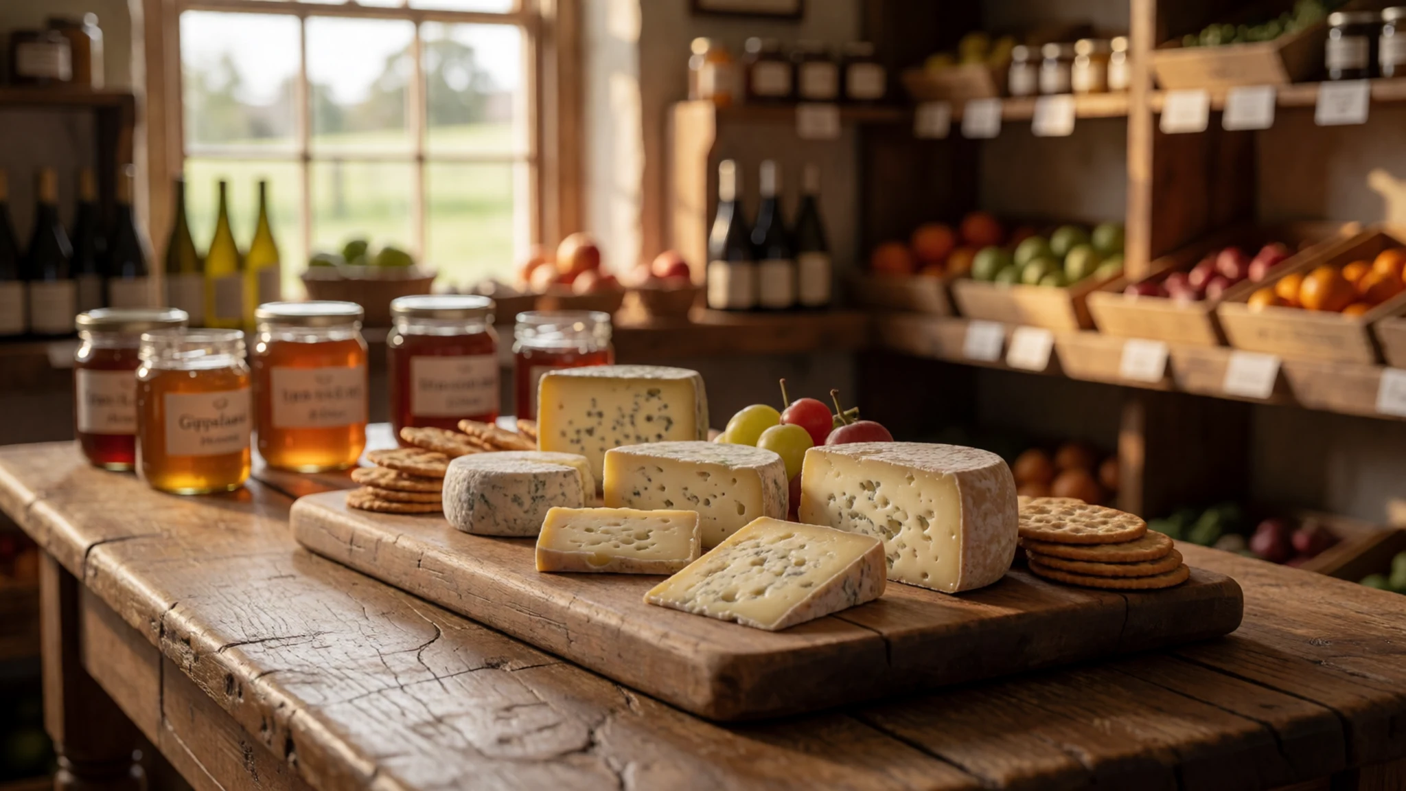
- Gippsland local meats — a country butcher in a Gippsland town
Local meats are another regional strength, and a country butcher in a Gippsland town is the place to find them. Cured and smoked products often sit beside the fresh cuts. Buy here before you drive in, since shopping choices inside the park are limited.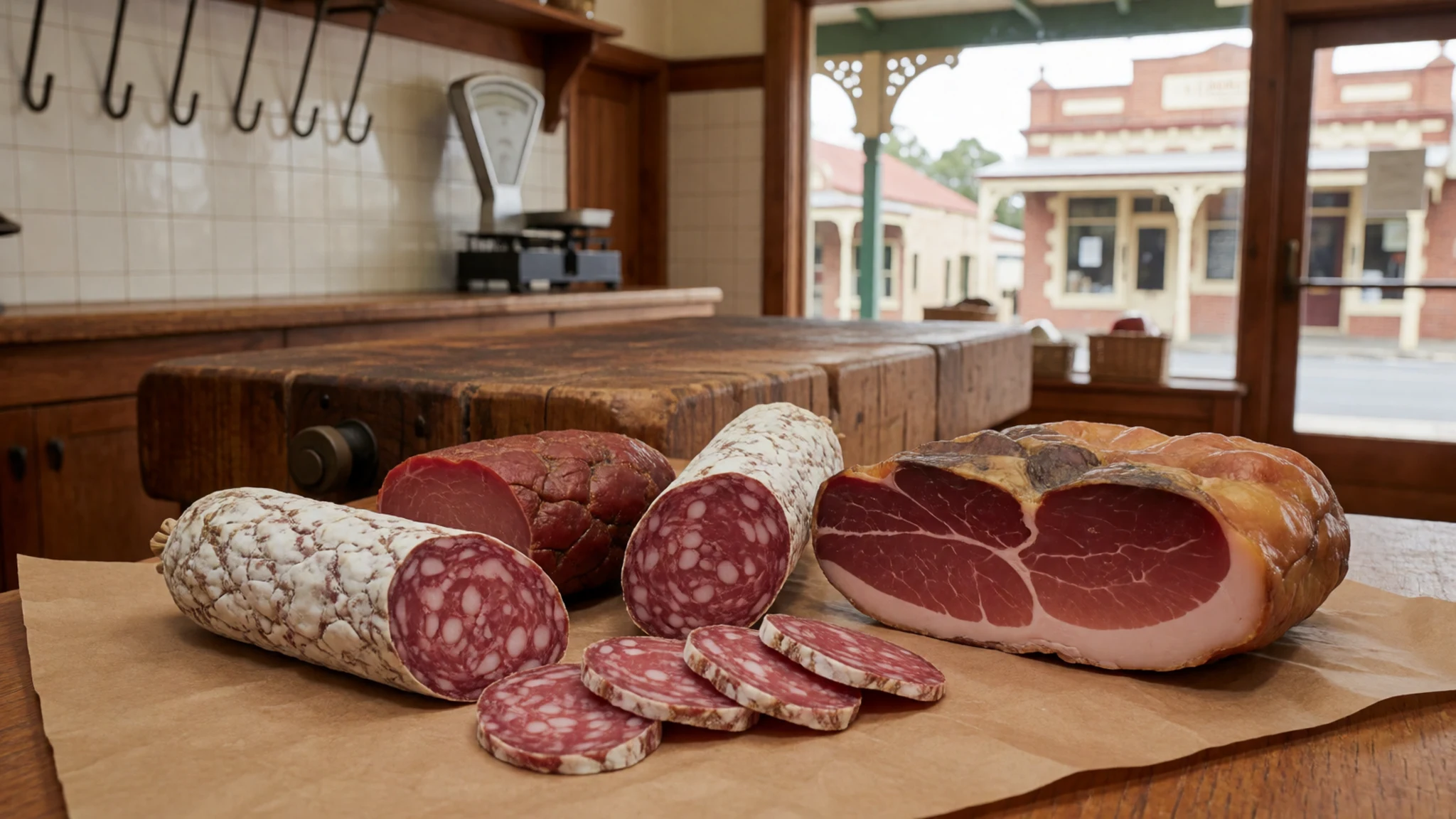
- Fresh seafood from Apollo Bay — seafront eateries in Apollo Bay
The coastal town of Apollo Bay, a long drive west along the coast, serves fresh seafood with ocean views. Its seafront eateries are the place to find it. Because the drive is long, most visitors treat it as a day trip rather than a stop on the way to the park. - Italian and Greek cooking in Carlton — cafes and restaurants in Carlton, Melbourne
Carlton, an inner suburb of Melbourne, offers Italian and Greek cooking in its cafes and restaurants. It is an easy stop on the way out of the city, and the food shows how much Melbourne's cooking owes to its migrant communities. - Vietnamese and African dishes in Footscray — suburban eateries in Footscray, Melbourne
Footscray, west of the city centre, has Vietnamese and African eateries in its suburban streets. Go in the evening, when the streets are busy, and order what the locals are eating. The range of dishes is one of the strongest arguments for a Melbourne food day.
Plan it
Best time. The climate note describes winds and rain dominating the winter and spring months, with summer far cooler than mainland norms at sea level. Summer and early autumn, roughly December to April, are the likeliest months for drier, milder walking, but check the forecast, because the Roaring Forties do not stop blowing.
How long. 3–4
Getting there. The nearest city is Melbourne, where the international airport is the usual arrival point. From there the last leg is by road south-east through Gippsland to the park, and the final stretch to Tidal River runs on the park's own roads.
Budget. mid
Tips
- Book campsites and accommodation through the official park site well ahead, especially for school holidays and long weekends.
- Arrive early for walks and beaches, when the campground and car parks are quieter.
- Carry food and water for your whole stay, because shopping choices inside the park are limited; stock up before you enter.
- Victoria restricts fresh fruit, vegetables and plant material coming in from other states, so use the quarantine bins at entry points to dispose of anything restricted.
- Pack for changeable weather, since wind and rain can arrive quickly off the Southern Ocean.
Etiquette
- Keep food sealed in cars and containers, and never feed the wombats or wallabies.
- Stay on marked tracks and beaches to protect dunes and swamp country.
- Take all rubbish out with you and follow the park's campfire rules.
Nearby
Sources
- Wikidata Q1936166 (CC0)
- Wikipedia: Wilsons Promontory (rev 1380971520) (CC BY-SA 4.0)
- Wikivoyage: Victoria (state) (rev 5327873) (CC BY-SA 4.0)
- Photo: Tidal River from Mt Oberon, Diliff (CC BY 3.0)
- Photo: Erosion damage, Wilsons Promontory, Diliff (CC BY 3.0)
- Photo: Swamp wallaby, Phil Whitehouse (CC BY 2.5)
- Photo: Common wombat, Phil Whitehouse (CC BY 2.5)
- Photo: Big Drift sand dune, Dietmar Rabich (CC BY-SA 4.0)
- Photo: Waterloo Beach, John Catsoulis (Public domain)
- Photo: Emus, Eduardo Mariz (CC BY 2.5)
- Photo: Five Mile Beach, Kauos (CC BY 3.0)


