Whitehaven Beach
Whitehaven Beach, Australia
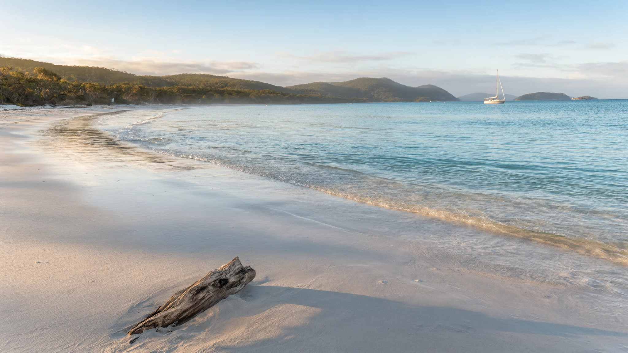
Whitehaven Beach stretches across Whitsunday Island with brilliant white silica sands and shifting turquoise waters that draw travellers from across the globe.
The place
Whitehaven Beach sits on Whitsunday Island in Queensland, Australia, positioned directly across from Stockyard Beach on neighbouring Haslewood Island. Accessible primarily by boat, seaplane, or helicopter from Airlie Beach and Hamilton Island, the beach spans a significant length along the eastern shore of the island. What defines Whitehaven Beach is its remarkable sand composition. Unlike standard quartz sand, the shoreline consists of ninety-eight percent pure silica, a mineral grain absent from local bedrock. Geologists surmise that prevailing ocean currents carried these fine grains to the shore over immense spans of geological time.
This high purity creates unusual physical properties. Pure silica sand does not retain solar heat effectively, allowing visitors to walk across the shoreline barefoot even under intense sunlight without burning their feet. The individual grains are extremely fine and smooth, though this very fineness presents a hazard to delicate electronics, as fine dust can infiltrate cameras and telephones. Conversely, the abrasive quality of the grains has historically made them useful for polishing tarnished jewellery.
The broader setting forms part of the regional landscape known colloquially as the Sunshine State, where vast coastal areas give way to sheltered bays and forested interior ranges. Tides constantly reshape the shallows at the northern inlet, swirling the white sand and blue water together into intricate marbled patterns that shift from hour to hour as the ocean recedes and advances across the shallow banks.
Its story
Whitehaven Beach carries a layered history connecting ancient custodianship with modern maritime exploration. Long before European surveyors charted the region, Indigenous Ngaro people inhabited the islands for thousands of years, utilising the sheltered bays and rich marine resources for sustenance, ceremony, and daily life. The modern documentation of the shoreline began when British naval officers mapped the Cumberland Islands group, leading to maritime naming conventions that persisted through the colonial era.
In the late nineteenth century, British naval staff charted the eastern coastline of Whitsunday Island and assigned names drawn from English coastal towns to various geographic features in the vicinity. For generations following these surveys, the beach remained largely isolated, visited primarily by passing mariners, fishermen, and adventurous sailors navigating the island passages.
Over the modern era, Whitehaven Beach transitioned from a remote anchorage into an internationally celebrated coastal destination. Conservation bodies and travel organisations frequently acknowledge its pristine environment, noting the absence of permanent commercial development directly on the sand. Environmental management has become paramount, particularly following severe weather events such as tropical cyclones that periodically impact the coastline. These storms necessitate careful coastal restoration work to repair dune erosion and protect the delicate silica ecosystem while maintaining public access to one of Australia's most protected island environments.
What to see
- Hill Inlet Lookout — Northern end of Whitsunday Island
Positioned at the northern tip of Whitehaven Beach, this elevated viewpoint offers sweeping panoramas over the shifting turquoise shallows and white sand bars. Visitors follow a well-maintained walking track from the landing point through coastal forest to reach viewing platforms that reveal the dramatic tidal patterns below.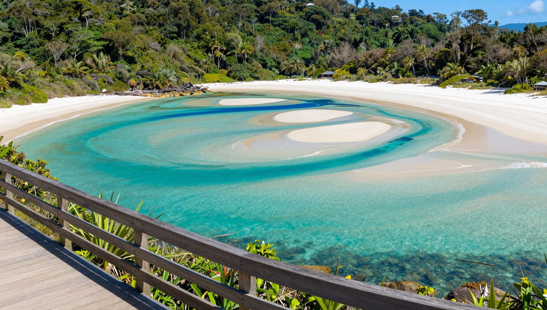
- Southern Anchorage and Sailing Waters — Southern end of Whitehaven Beach
The protected waters near the southern end of the beach provide calm anchorages for cruising yachts and day-trip catamarans. Day visitors and overnight sailors use these sheltered bays to step directly onto the pristine shoreline, enjoying a quieter stretch of sand away from the busier northern tidal zones.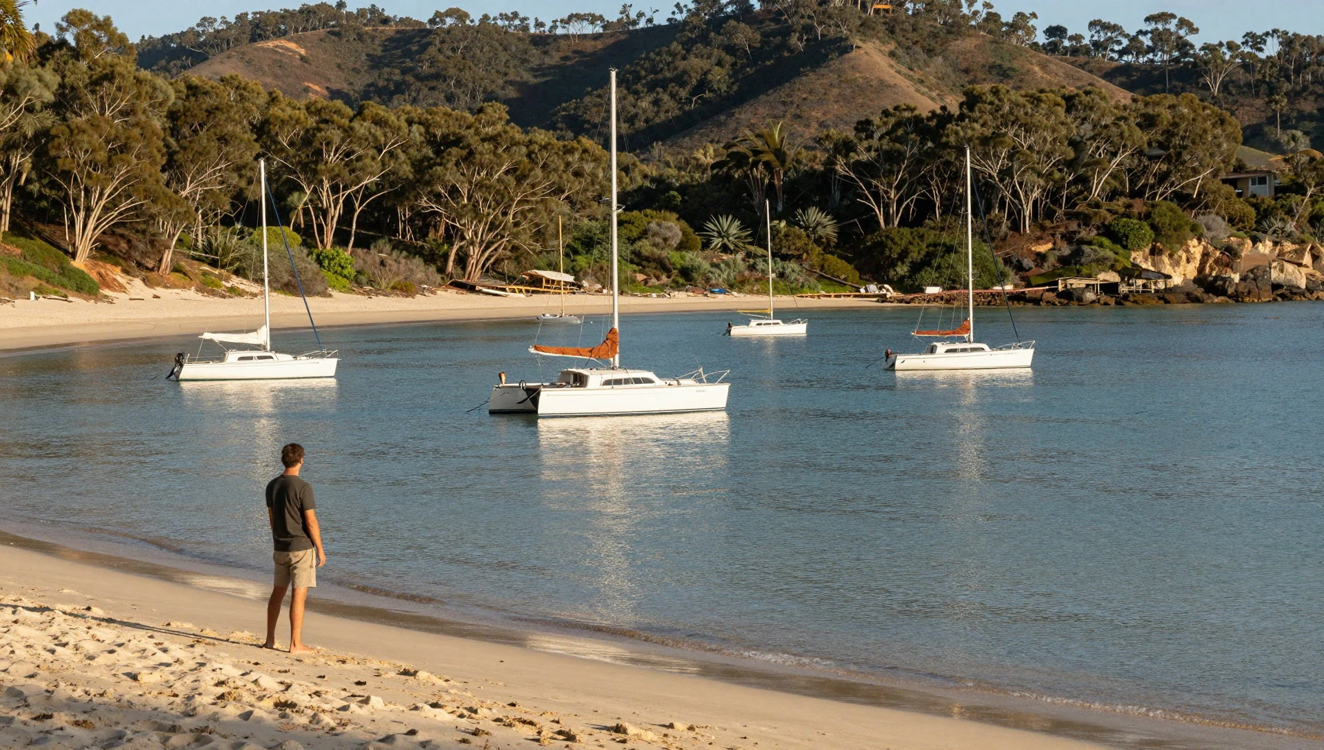
- Stockyard Beach on Haslewood Island — Haslewood Island
Located directly across the narrow channel from Whitehaven Beach, this alternative sandy stretch—frequently called Chalkie's Beach—offers excellent snorkelling over fringing coral reefs. Visitors often combine a trip across the channel with their main beach visit to explore the diverse marine life thriving in the clear tidal straits.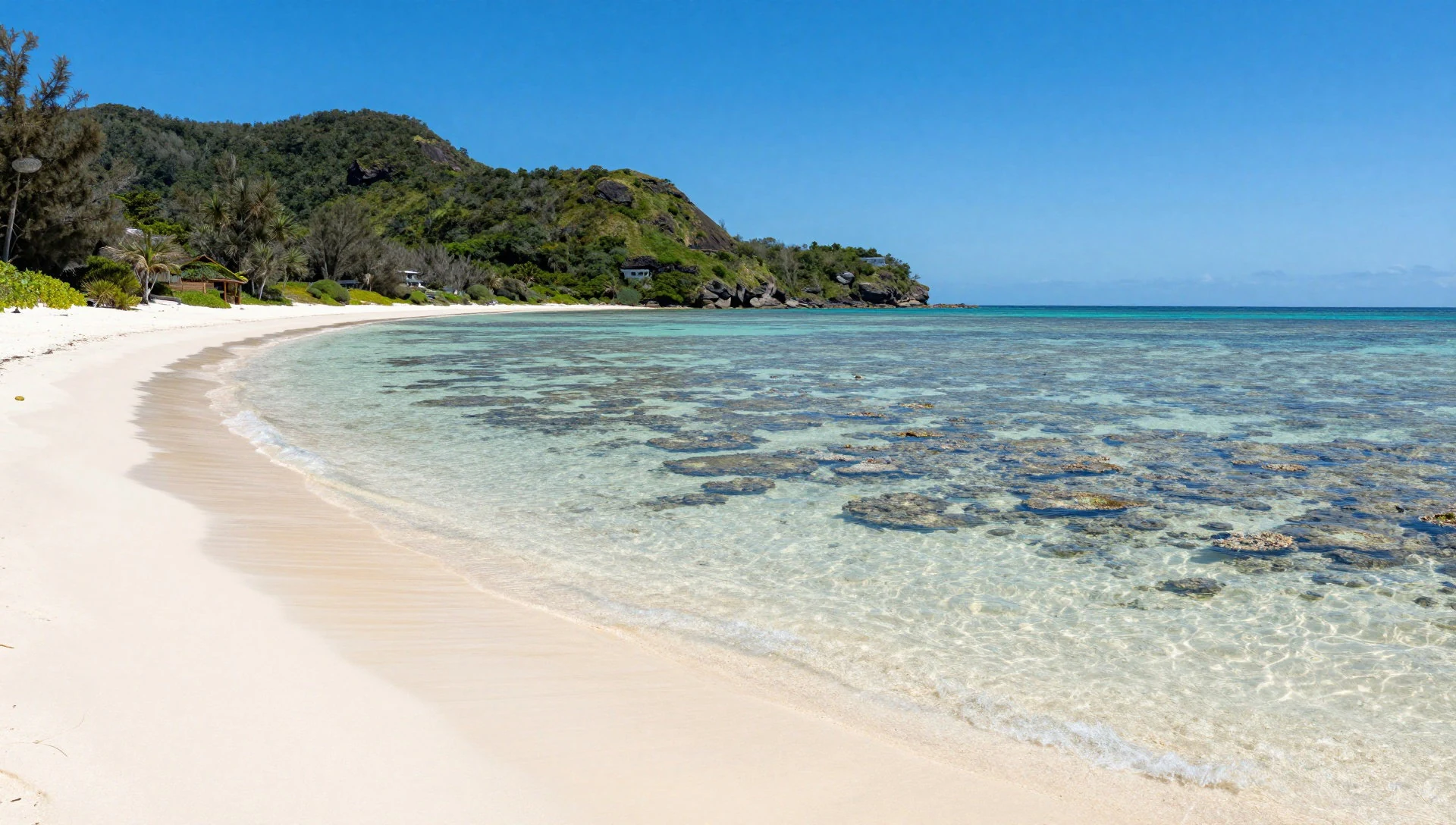
- Carnarvon Gorge Art Gallery — Carnarvon Gorge National Park
Situated further inland within mainland Queensland's rugged sandstone country, this significant cultural site features more than six hundred stencils and thirteen hundred engravings. Boardwalks and interpretive signage guide visitors past ancient Aboriginal rock art sheltered beneath towering sandstone overhangs without disturbing the fragile historical surfaces.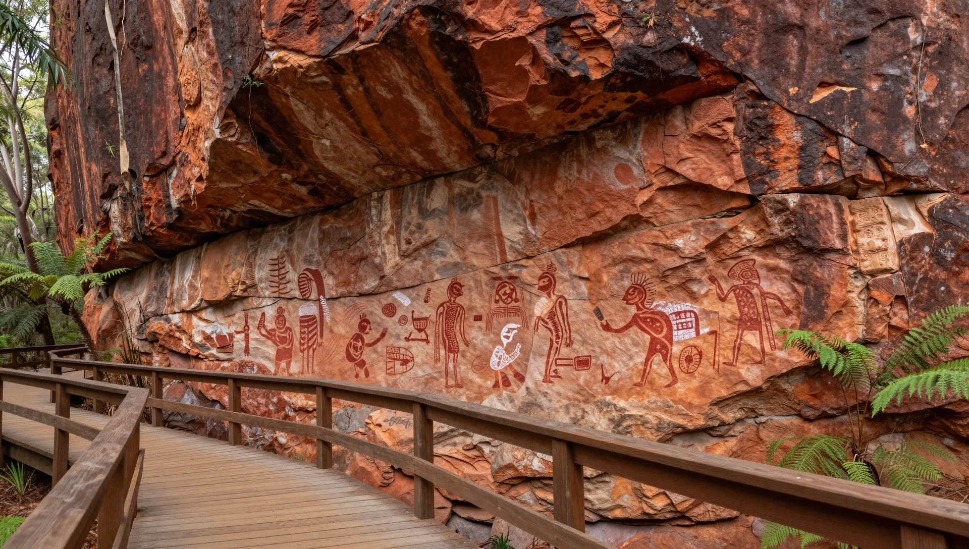
- Glass House Mountains Lookout — Glass House Mountains National Park
Rising abruptly from the surrounding forest and agricultural plains, these striking volcanic plugs offer expansive views across the regional landscape. Captain Cook named the distinctive peaks during his coastal mapping expedition, and the surrounding park now provides multiple walking tracks catering to casual walkers and experienced climbers alike.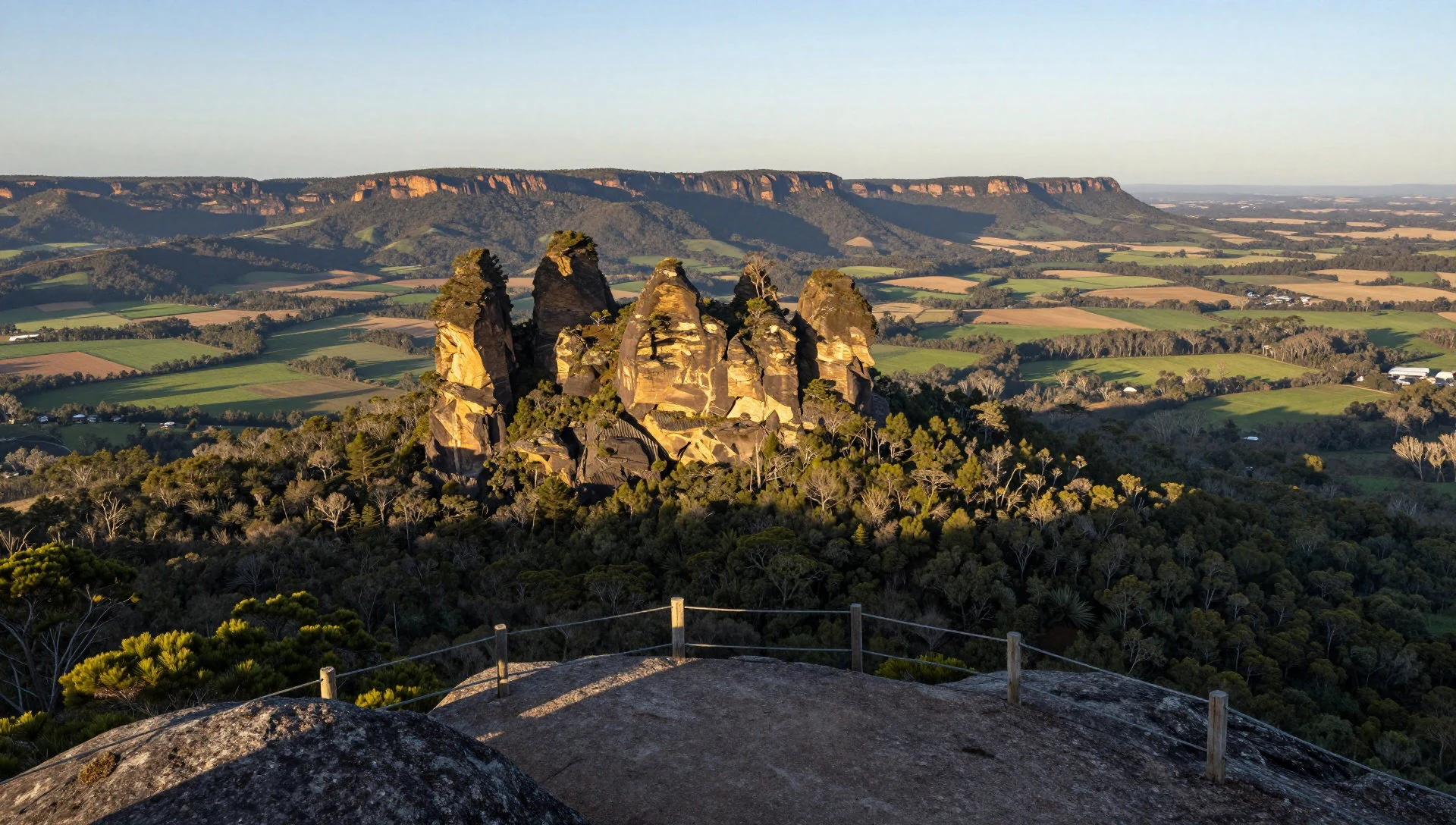
Culture
The cultural fabric surrounding Whitehaven Beach blends contemporary Australian coastal relaxation with deep Indigenous heritage rooted in the traditional custodianship of the Ngaro people. For generations, the islands of the Whitsundays were home to seafaring clans who navigated the narrow channels in outrigger canoes and gathered seasonal marine resources without disrupting the balance of the coastal ecosystems. Today, modern visitors encounter this heritage primarily through guided interpretive walks and the respectful observation of ancient archaeological sites across the broader region. The local community places a strong emphasis on environmental stewardship, reflecting a shared commitment to keeping the islands free from litter and preserving the purity of the silica sands. When visiting protected island parks and coastal reserves, always pack out all personal rubbish and avoid disturbing native wildlife or nesting seabirds.
What to wear
Fashion around Whitehaven Beach and the broader Whitsunday region is entirely casual, practical, and adapted to a warm tropical climate. Traditional regional attire reflects a laid-back Australian coastal lifestyle, relying heavily on lightweight, breathable natural textiles like cotton and linen designed to combat high humidity and intense sunshine. Locals and travellers alike wear simple shorts, relaxed linen shirts, swimwear, and comfortable sundresses suitable for moving between boat decks and warm sandy shores. Because the pure silica sand remains relatively cool underfoot, many visitors prefer to walk barefoot on the beach itself, though sturdy sandals or reef shoes are essential for boat transfers, rocky headlands, and bushwalking trails. Sun protection is a constant priority, meaning wide-brimmed hats, polarised sunglasses, and lightweight UV-protective layers form an indispensable part of daily attire for anyone spending time outdoors.
What to eat
- Fresh Coastal Seafood — Coastal towns and mainland marinas near the Whitsundays
Freshly caught local fish, prawns, and reef species are available throughout coastal Queensland communities, typically served in traditional fish and chip shops or relaxed waterfront eateries following a day on the water.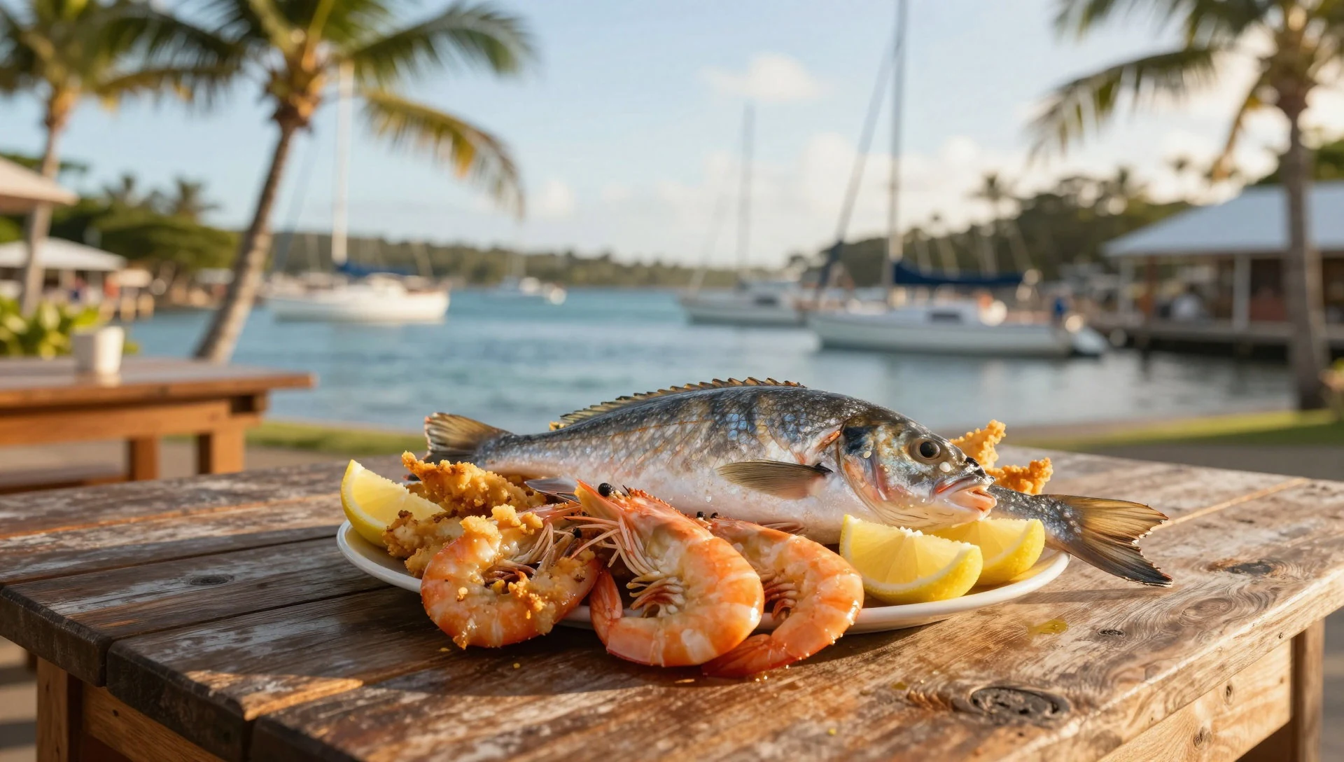
- Regional Mangoes — Local markets and fruit stalls across North Queensland
Grown extensively in tropical areas around northern hubs such as Bowen, sweet seasonal mangoes feature prominently in local markets, dessert menus, and fresh juice stalls during the warmer fruiting months.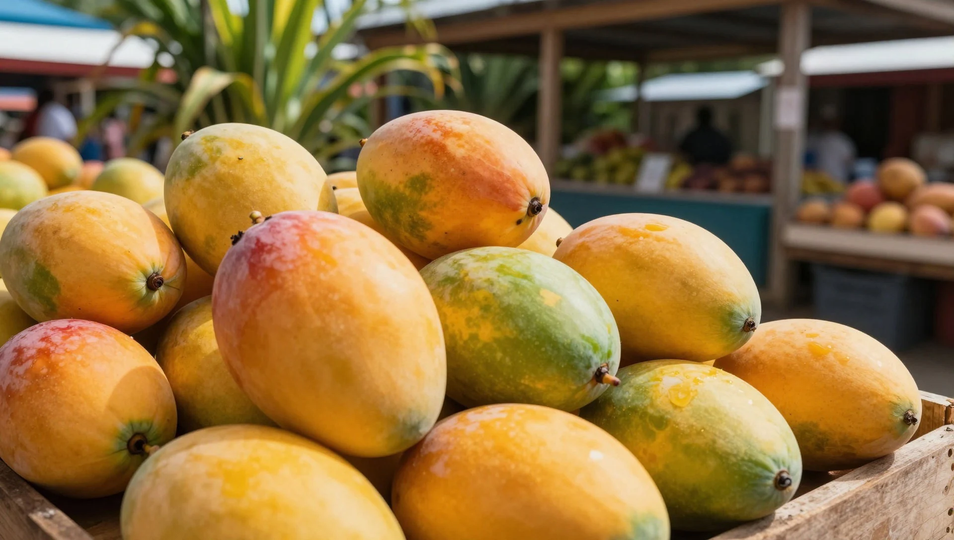
- Sugarcane Refreshments — Agricultural markets and roadside stalls in the Whitsundays
With vast agricultural lands dedicated to sugarcane across the surrounding Whitsunday district, visitors can sample fresh cane juice and local cane-derived products at regional farm gates and weekend markets. - Boutique Coastal Cafe Fare — Mainland esplanades in Airlie Beach and Hamilton Island marina villages
Independent cafes and bakeries along the mainland coast and nearby island hubs serve artisan pastries, locally roasted coffee, and light lunches crafted from fresh regional Queensland produce.
Plan it
Best time. May through September offers the most comfortable conditions, with the driest weather, milder daytime highs, and stable sea conditions, avoiding the wet summer months and cyclone season.
How long. 2–3
Getting there. Fly into Whitsunday Coast Airport at Proserpine or Hamilton Island Airport, then take a ferry, catamaran, seaplane, or helicopter directly to the beach.
Budget. mid
Tips
- Book boat tours and scenic flights well in advance during peak dry season months.
- Pack reef-safe sunscreen and protective clothing as shade on the beach is limited.
- Bring a dry bag to protect phones and cameras from extremely fine silica sand.
- Carry all drinking water and supplies with you as there are no shops on the island.
Etiquette
- Take all rubbish with you when leaving the beach to protect the protected marine park.
- Avoid disturbing nesting seabirds and local wildlife encountered along the shoreline.
- Stay on marked walking tracks when exploring the forest paths behind the beach.
Nearby
Sources
- Wikidata Q2123432 (CC0)
- Wikipedia (rev 1330666447) (CC BY-SA 4.0)
- Wikivoyage (rev 5381291) (CC BY-SA 4.0)