White Desert National Park
White Desert National Park, Egypt
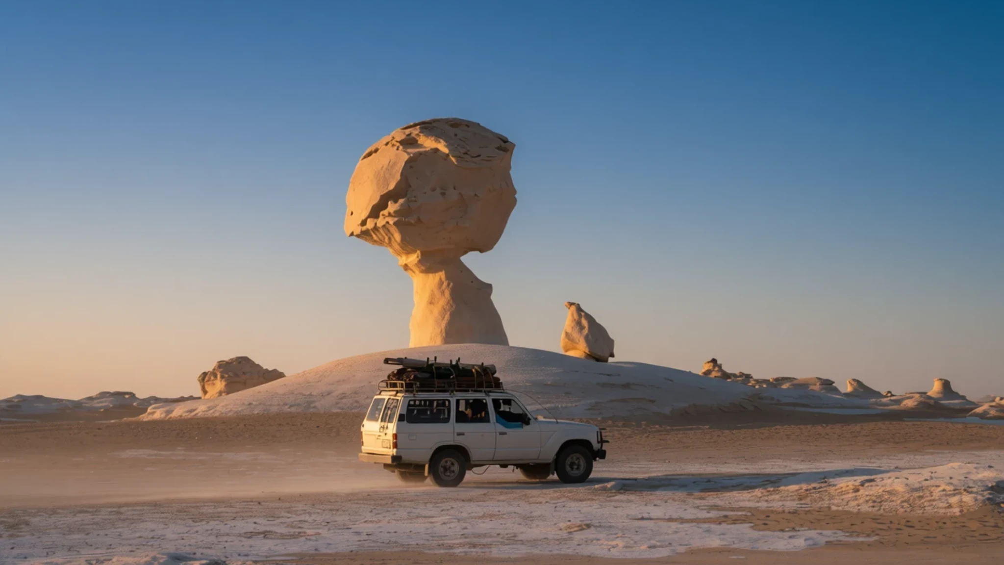
Chalk monoliths sculpted by wind in Egypt's Western Desert, reached by a long drive and best seen on a guided or well-prepared desert trip.
The place
White Desert National Park sits in the Farafra depression of Egypt's Western Desert, north of the oasis town of Qasr Al Farafra. It was declared a protected area in 2002, and part of its land falls within the Farafra Oasis. The name comes from the pale chalk and limestone that dominate the scenery. Within the park the ground changes quickly. Cliffs stand at the northern edge of the Farafra depression, dunes spill in from the Great Sand Sea, and Wadi Hennis cuts through the terrain. Oases at Ain El Maqfi and Ain El Wadi provide the only green patches nearby.
The chalk formations are the reason most people come. Wind and blowing sand have worn softer and harder layers of the rock at different rates, so the stone has been carved into mushroom shapes, towers and fingers, some standing well clear of the ground. In strong sun the surface glares so brightly that it can look almost snow-covered, although no snow falls here.
The park is also home to animals adapted to heat and scarcity. Rhim gazelle, dorcas gazelle, Barbary sheep, jackals and several foxes, including the fennec, live in the area, along with the sand cat. Seeing them takes patience and luck rather than any guarantee.
The landscape is fragile, and its popularity puts pressure on it. Vehicles are confined to marked tracks, and overnight stays are limited to designated rest areas. The aim is to keep the formations free of tyre marks and litter, so that the scenery stays intact for the people who follow.
Its story
The White Desert began as the floor of a shallow sea. The chalky deposits that make up the ground were laid down from the remains of tiny marine creatures, and tens of millions of years later the sea had gone. What followed was wind. Sand blasting across the exposed layers of limestone and chalk wore the rock away unevenly, and the differences in hardness between beds decided what survived. Over a very long time that process carved the stone into the mushroom caps, towers and finger-shaped pillars that visitors see today.
The modern story begins in 2002, when the area was declared a protected area. Since then, visitor numbers have grown to tens of thousands a year, most arriving by road from the towns of Farafra or Bahariya. Peak periods are Christmas and Easter, when the pale rock under a clear sky looks wintry in a country where snow never falls. Traffic on the tracks has brought the need for rules about routes, camping and rubbish, and the park now manages the crowds through its entrances and designated rest areas.
The western side of the park holds quieter evidence of earlier life. Around the buffer zone, archaeologists have found traces of human activity in the Hidden Valley and at the el-Ubeiyid Cave, showing that people used this edge of the desert long before the park existed. The park's own history is short, but the landscape it protects was shaped over a far longer span of time.
What to see
- The eastern circuit from the main entrance — Eastern side, from the main entrance
Track 1 is the park's longest route. From the main entrance it heads south-east and loops in a wide circle before finishing far to the north at the Aqabat entrance. The eastern side carries much of the classic chalk scenery, so a full day on this track leaves time to stop at several formation clusters and take photographs without rushing.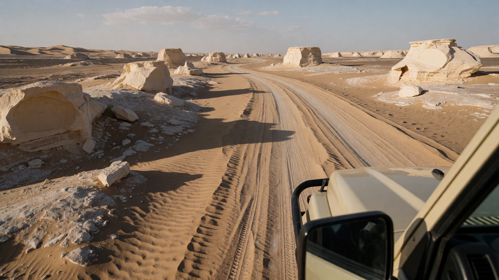
- Chalk formations along the western track — Western side, from the el-Babein entrance
Track 3, marked purple, is the only route on the western side of the park. It starts at the el-Babein entrance in the north and runs through a stretch of chalk where the formations stand apart from one another. The surface is soft sand in places, so bring all the fuel and water the trip needs.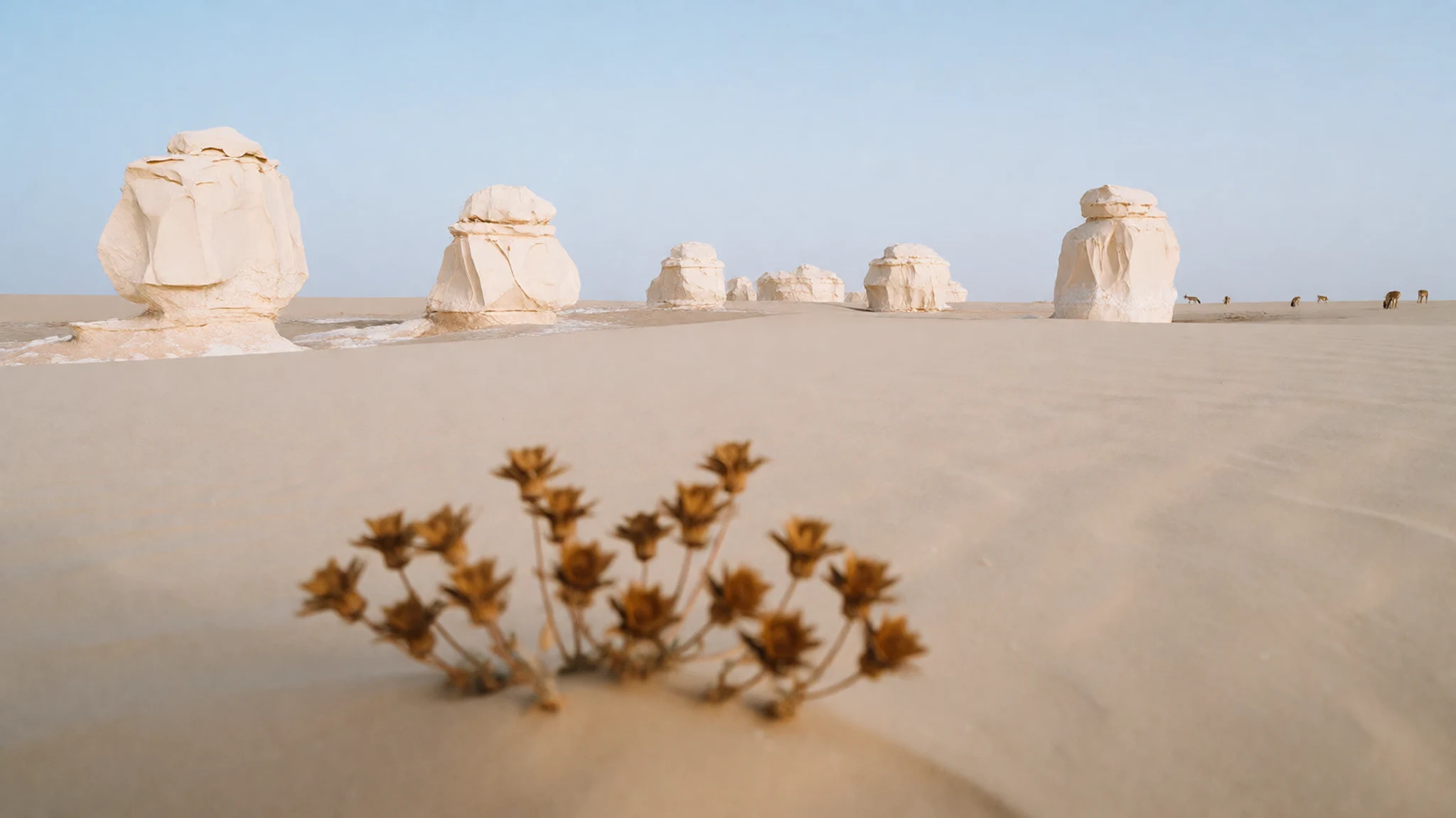
- Crystal Mountain (Gebel el-Kristal) — Extreme north, east side of the road
Crystal Mountain lies in the extreme north of the park, on the east side of the road. Its name points to the quartz-rich rock found in parts of the region, which catches the light in a different way from the chalk. It makes a useful early stop for anyone entering from the northern entrances, and the track there is best approached slowly.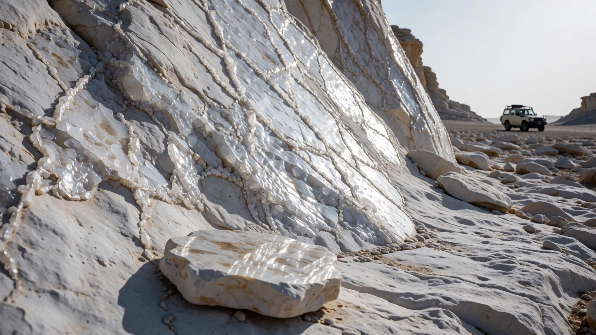
- The Rajah area — South-east, in the buffer zone via the Bir Qarawein spring
The Rajah area lies in the far south-east, just beyond the national park boundary but still within its buffer zone. It is best reached from the south, through the Bir Qarawein spring. Because it sits outside the core park, track conditions can differ, so check the route with a local guide and carry a map and navigation equipment.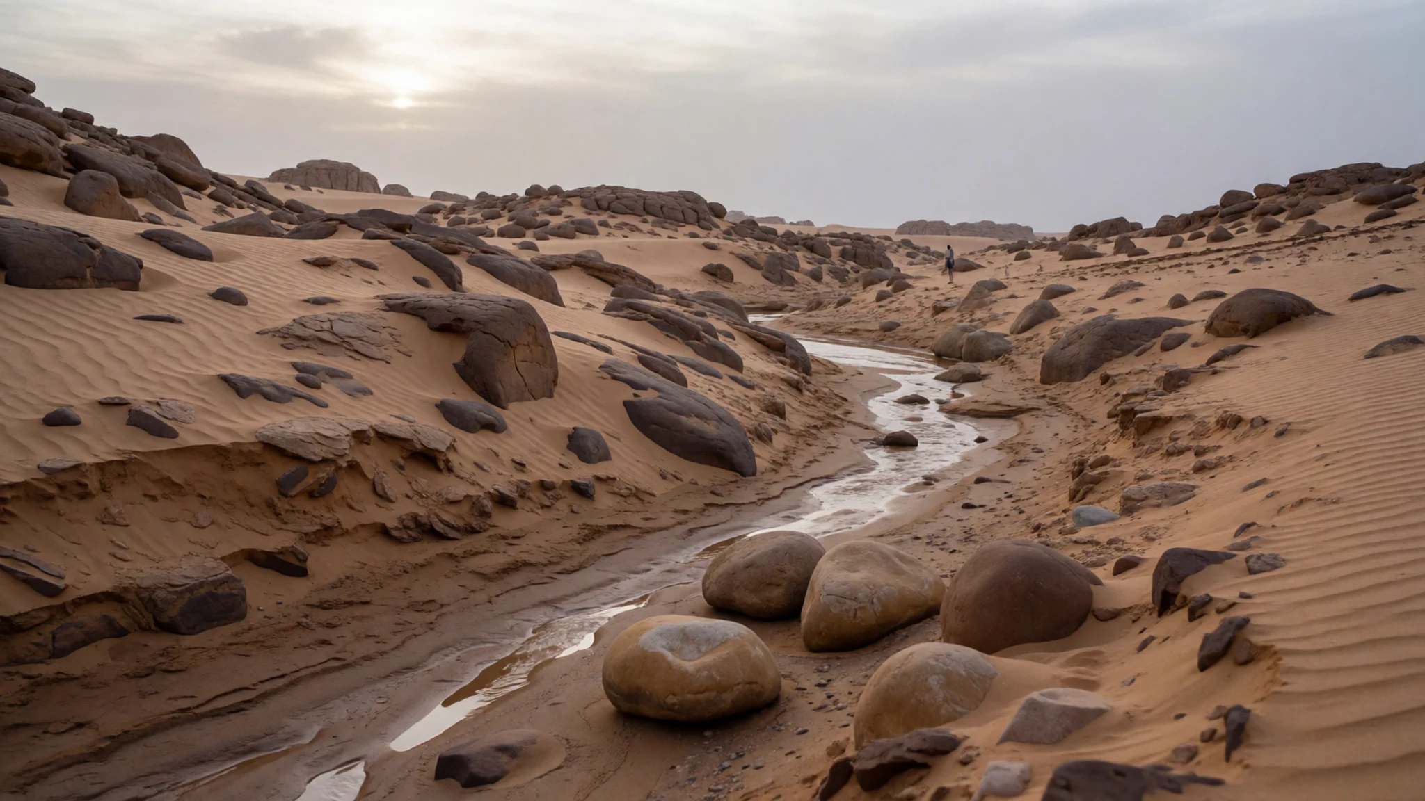
- Hidden Valley and the el-Ubeiyid Cave
Hidden Valley and the el-Ubeiyid Cave sit in the western buffer zone, on the slope between Farafra and Ain ed-Dalla. The cave holds archaeological evidence from the middle and late Holocene, which draws visitors interested in early human presence in the Western Desert. The site is outside the core park, so confirm the route and access with a local guide before setting out.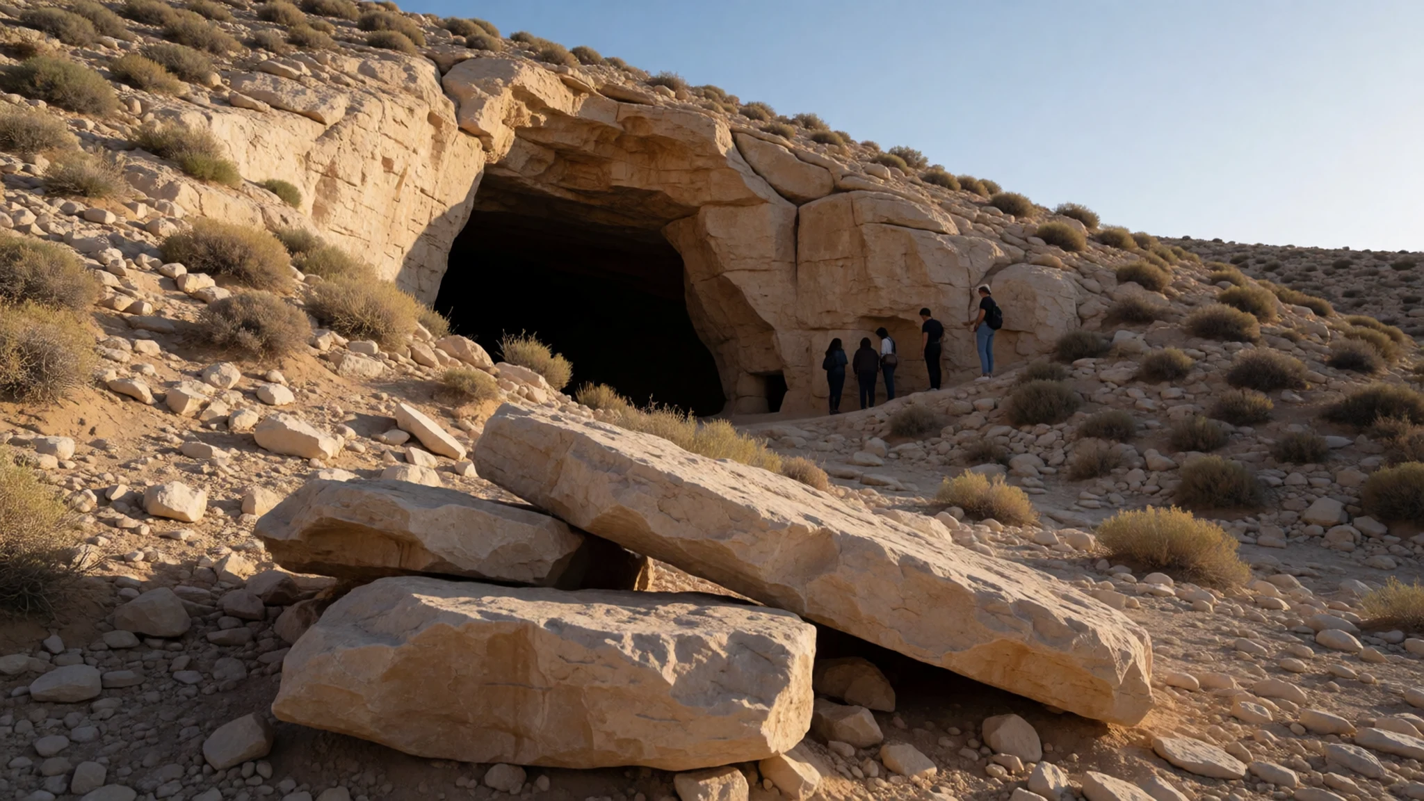
Culture
Visitors to White Desert National Park are passing through a protected landscape that also sits within the working life of Farafra and the surrounding oases. Local guides, drivers and camp staff form a large part of that economy, and most trips are arranged through them rather than online. Respect for the park means keeping strictly to designated tracks, staying overnight only at designated rest areas, and treating the rock as fragile rather than as a backdrop for climbing or breaking off pieces. Egyptian Islamic custom shapes social expectations in the oasis towns too, so ask before photographing people and dress modestly when walking through villages. Take all rubbish back out of the desert, including food waste, and never break pieces from the rock.
What to wear
White Desert National Park is best approached in clothing that suits both the desert and the communities of Farafra. Across rural Egypt the galabeya, a loose long cotton robe, is a long-standing everyday garment, and men often finish it with a headcloth or turban against sun and sand. Heavier wool and cotton weaves are common in the cooler months, while women in the oasis towns often wear dark, modest dress with a head covering. Younger people in the towns now mix these traditional styles with jeans, trainers and T-shirts.
For a visitor, the priorities are sun protection and modesty. Loose, long-sleeved cotton or linen shirts and trousers, a wide-brimmed hat and a scarf that doubles as a sun shield or a headcover for village visits all work well. Shorts and sleeveless tops suit the desert camp well enough, but cover up when walking through Farafra. Closed, sturdy footwear matters more than fashion, because the chalk and sand can be hot underfoot and the broken rock can be sharp. A light windproof jacket and a warm layer are useful for cold desert nights.
What to eat
- Ful medames — Breakfast stalls in Farafra town
Slow-cooked fava beans, mashed or left whole and seasoned with cumin, garlic, lemon and oil, make the standard breakfast across Egypt. In Farafra the dish is easiest to find at simple breakfast stalls, usually served hot with bread. It is a filling start before a long day on the tracks.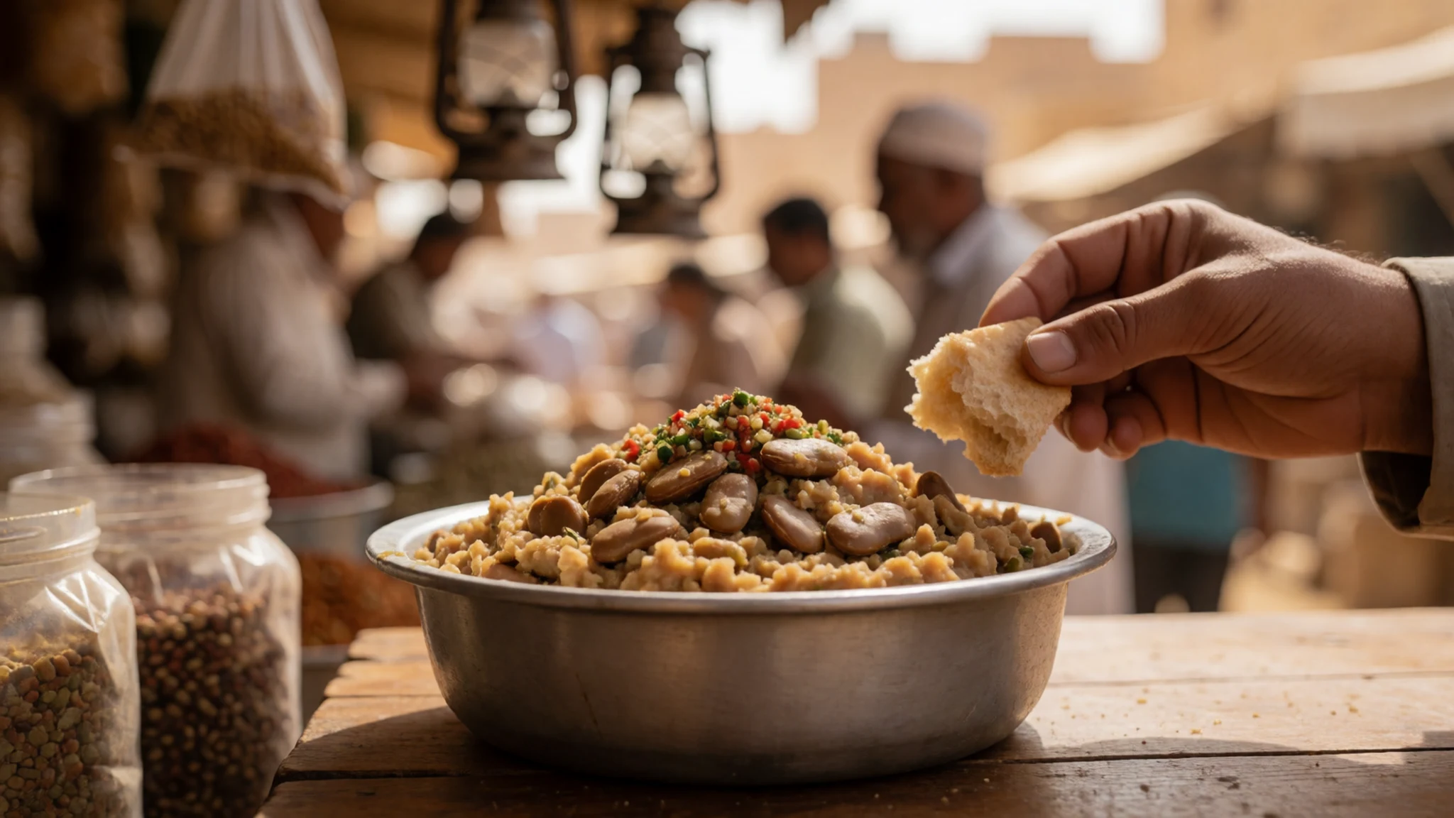
- Baladi bread and soft white cheese — Bakeries and small shops in Farafra town
Flat, round baladi bread is baked in local ovens and torn to hold soft white cheese, sometimes with olives or tomato. It travels well, which makes it a sensible base for a desert picnic. Buy it fresh on the day you set out.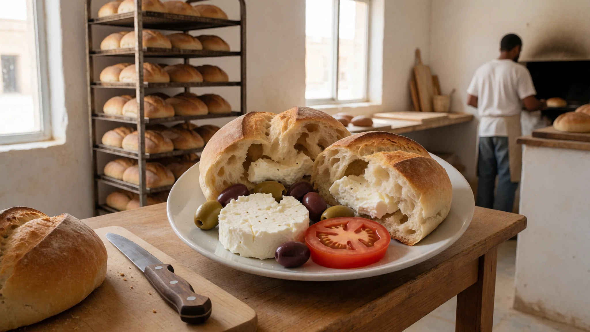
- Oasis dates — Market stalls and roadside sellers around the oasis
Dates grown in the oasis gardens around Farafra are sold loose by weight at market stalls. They keep well in the dry air and give quick energy on long drives. Choose soft, glossy fruit for eating on the move. - Sweet mint tea — Tea stalls and cafés in Farafra town
Tea brewed strong, then sweetened and poured over fresh mint, is the drink of choice in Egyptian towns. Tea stalls and cafés in Farafra serve it throughout the day. Pour a flask to take into the desert, where it is welcome after a dusty drive. - Grilled chicken and rice — Simple grill restaurants in Farafra town
Charcoal-grilled chicken served with rice, salad and bread is the simplest hot meal in the oasis towns. It is the kind of dish that restaurants in Farafra prepare in the evening. Eat it in town before heading out, because there is no food available inside the park.
Plan it
Best time. Autumn and spring are the most comfortable seasons for walking the chalk and driving the tracks, roughly October to November and March to April. Summer heat is intense, so avoid it where you can. Christmas and Easter bring the biggest crowds, so plan well ahead for those dates.
How long. 2–3
Getting there. Fly into Cairo, then arrange a road transfer to the oasis town of Farafra, which is a long drive across the desert. From Farafra the trunk road to Bahariya leads toward the park, and the park's six entrances are reached by side tracks. Arrange transport and a guided vehicle with a local operator before setting out.
Budget. mid
Tips
- Book a guided vehicle and driver through an operator in Farafra well before your travel dates
- Go out in the early morning or late afternoon, when the light is softer and the formations cast shadows
- Carry all the fuel, drinking water and food for your whole trip, as there is nothing to buy inside the park
- Carry cash for fees, tips and small purchases in the oasis towns, as card payment is not reliable out in the desert
- Stay only at designated rest areas for camping, and check the route with a guide before entering the buffer zone
Etiquette
- Stay on designated tracks, because off-road tyre marks scar the landscape
- Take every piece of rubbish home, including food waste
- Do not break pieces from the rock or light fires with plant debris
Nearby
Sources
- Wikidata Q2556953 (CC0)
- Wikipedia: White Desert National Park (rev 1379056711) (CC BY-SA 4.0)
- Wikivoyage: White Desert National Park (rev 5226843) (CC BY-SA 4.0)
- Desert blanc, Daniel Fafard (CC BY 3.0)
- Al Farafrah, New Valley Governorate, panoramio 21, L-BBE (CC BY 3.0)
- White Desert, Egypt, Mohamed Abdelzaher (CC BY-SA 4.0)
- White Desert, Egypt, Vyacheslav Argenberg (CC BY 4.0)
- White Desert, Rock formations in desert landscape 2, Egypt, Vyacheslav Argenberg (CC BY 4.0)
- White Desert, Rock formations in desert landscape, Egypt, Vyacheslav Argenberg (CC BY 4.0)
- Al Farafrah, New Valley Governorate, panoramio 14, L-BBE (CC BY 3.0)
- White Desert morning, CairoCarol, Carol Walker (CC BY-SA 2.0)


