Whanganui River
Whanganui River, New Zealand
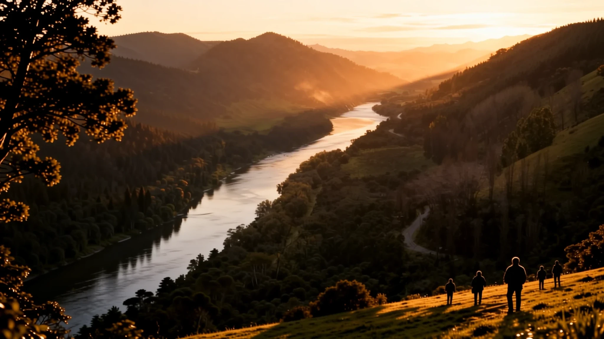
The Whanganui River winds from a volcano to the sea, and it has a legal identity of its own.
The place
The Whanganui River runs across the middle of New Zealand's North Island, from the northern slopes of Mount Tongariro down to the coastal city of Whanganui. Most visitors meet it in one of two ways: as a view from the riverside road, or as a multi-day paddle through its gorges. Few rivers in the country are so closely tied to daily life along their length.
At about 290 kilometres (180 miles), it is the third-longest river in New Zealand. Much of the land on either side of its upper reaches is protected as national park, though the river itself sits outside that boundary. The water heads north-west from its source, turns south-west at Taumarunui, then cuts through steep, forested hill country before swinging south-east towards the coast.
The character of the river shifts with the stretch chosen. Upstream, the water runs through steep gorges and fast rapids, with few roads nearby and long stretches without settlement. Downstream, near Whanganui city, the valley opens into farmland and town, with parks, cafés and cycle paths following the banks. An earthquake in 1843 altered the valley itself, and its effects are still visible in places.
Access is the main constraint. Mobile signal fades quickly once the road leaves town, and the upper reaches have few facilities, so food, water and rain gear need planning before the trip begins. Guided canoe trips are the usual way to cover the wilder sections, while the riverside road offers a slower view of the valley from above.
Its story
The Whanganui River has long been a road as much as a waterway. Māori tradition explains its origins through the landscape: one account describes the mountain Taranaki leaving the central plateau for the coast, the land splitting open, and water filling the rift. Another ties the river to Māui, whose giant catch became the North Island, and to tears sent down by Ranginui that are said to have formed the Whanganui and the Waikato.
Tamatea, one of the leaders of the first migration, is said to have explored the river on his way to Lake Taupō, and many places along it still carry his name. For generations the river was an important route into the central North Island, used by Māori and later by settlers, even though it has long stretches of white water and frequent rapids. Settlements grew around the river mouth, which became a busy trading post after European arrival.
Its role as a transport corridor grew in the late nineteenth century. In 1892 Alexander Hatrick started the first regular steamboat service, which eventually reached Taumarunui, where rail and coach connections carried passengers and goods north. The boats gave the river a commercial life that outlasted the coming of roads, and the valley remains tied to the stories carried along it.
Recognition came much later. In 2017 the river became the second natural resource in the world to be granted its own legal identity, with rights and duties akin to those of a person. That decision followed a Treaty settlement that ended one of the longest-running legal disputes in New Zealand's history.
What to see
- Durie Hill lookout — Whanganui city, east bank
A hill lookout above Whanganui city, from which the river and the town can be seen laid out below. Views from the top show how the river bends through the town before reaching the sea, and the lookout is a useful orientation before a trip. Check the official site for access times and any fees, as these change.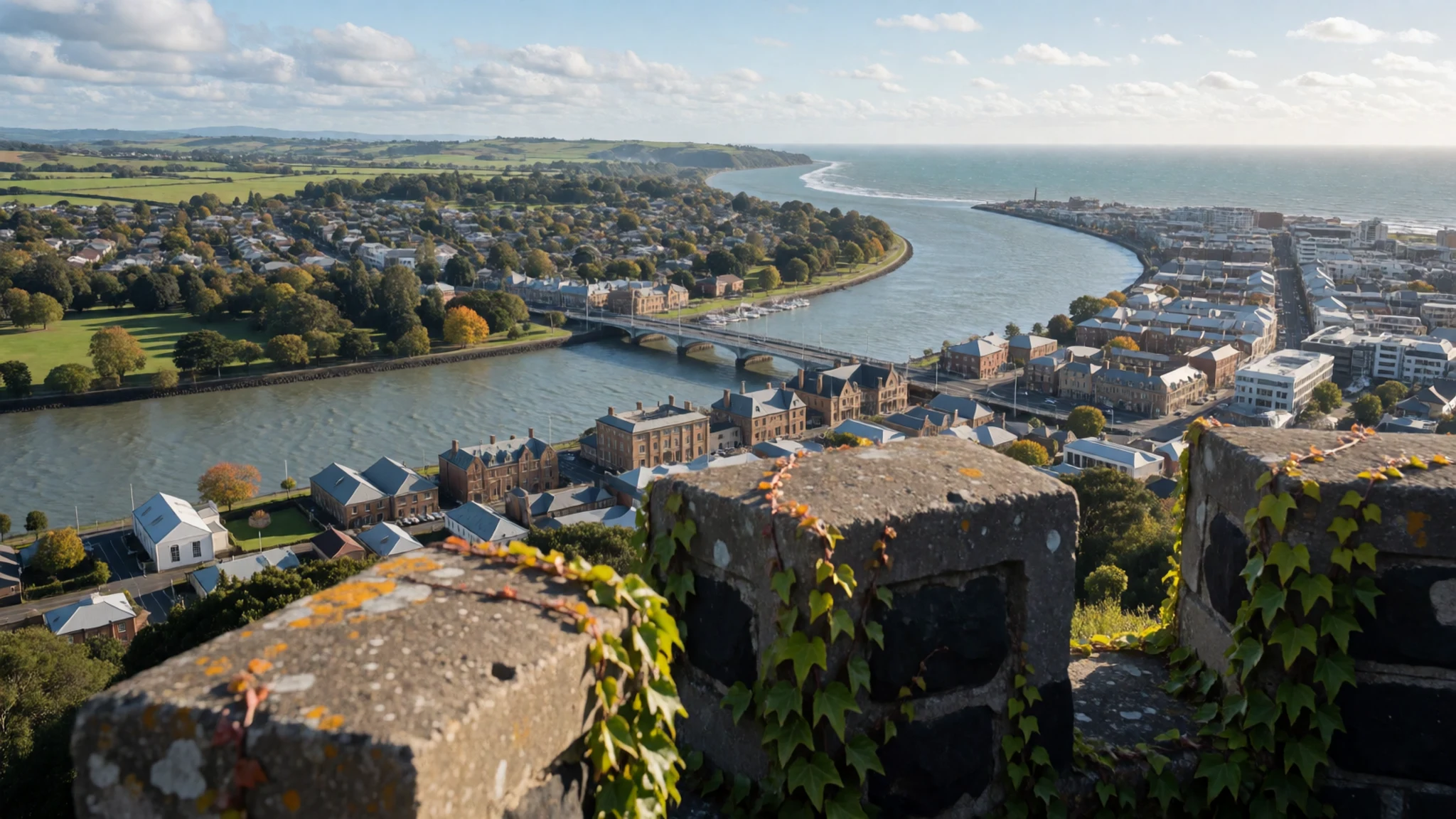
- Ūpokongaro cycle bridge — Ūpokongaro, lower river
A cycle bridge over the river at Ūpokongaro, on the lower reaches. It gives an easy, flat way to see the water at close range without a boat, and the riding suits most ages. Carry water, as the approaches are open and shade is limited.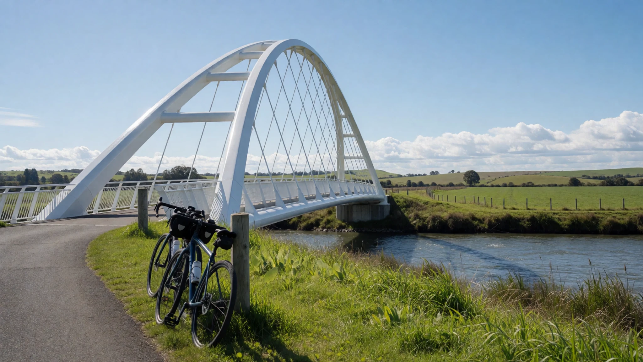
- Koriniti marae — Koriniti, middle river near Pipiriki
A living marae on the river, where a meeting house and communal grounds mark the centre of local life. Marae are not tourist sites, and visits usually depend on an invitation or an arranged tour. Ask before you enter or take photographs, and follow the protocol your hosts explain.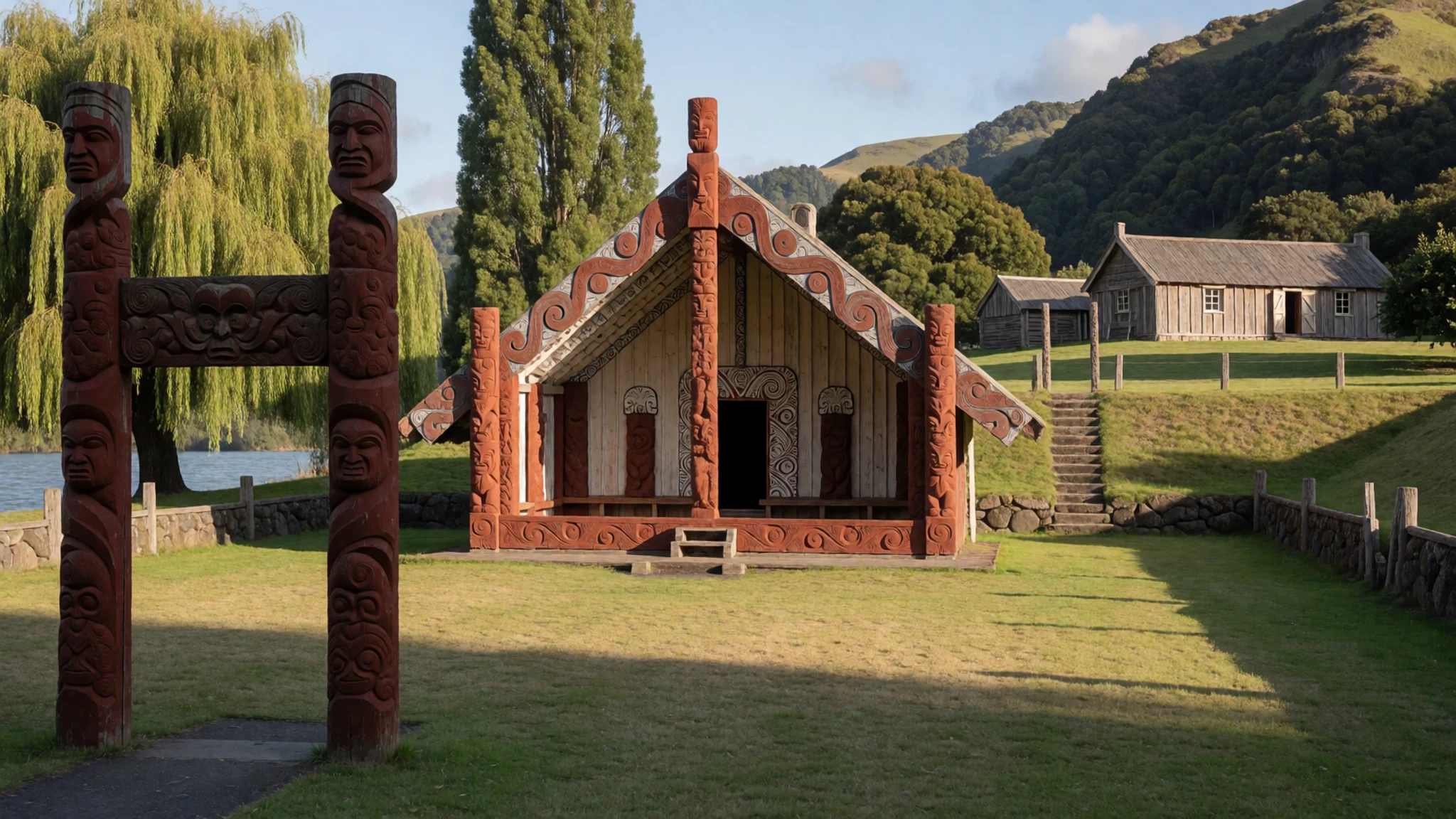
- Pipiriki — Pipiriki, middle river
A small settlement that was once a busy landing for river steamers and a supply point for the valley. Today it is quiet, with the old landing site and nearby walking tracks. Services are limited, so arrive with food and fuel already sorted.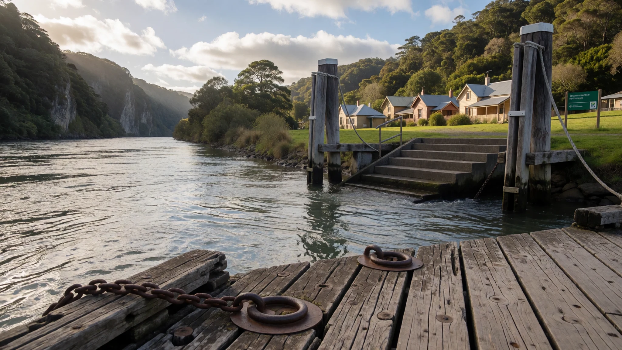
- Whanganui River Road — Between Whanganui city and Pipiriki
The river road runs close to the water for long sections, giving views of bends, bush and cliffs without a boat. Parts can be rough and narrow, so drive slowly and expect uneven surfaces. Pull over in designated spots rather than on corners.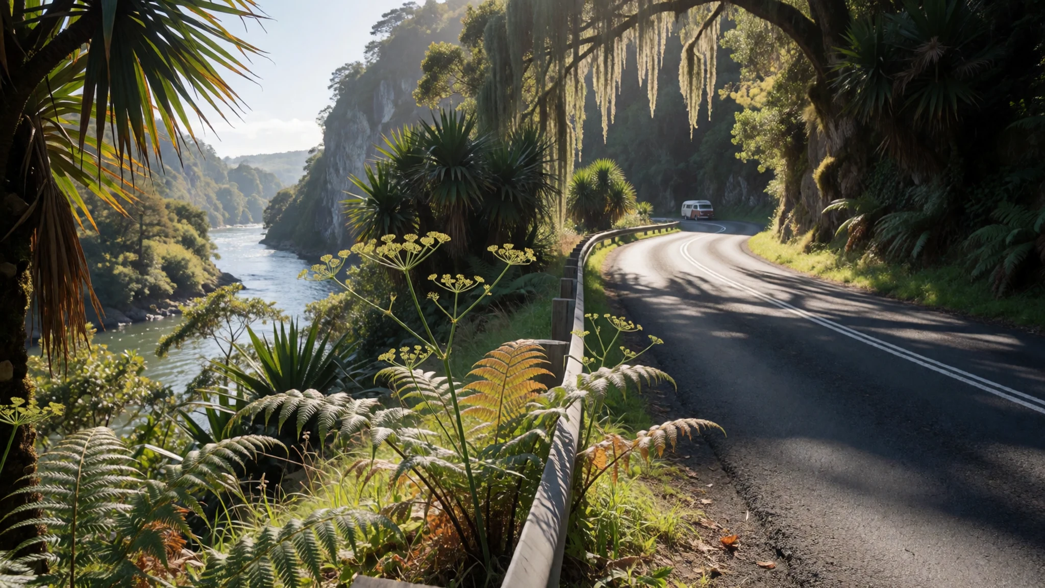
Culture
New Zealanders, including the Māori communities along the river, are generally warm and sociable, but they often keep strangers at a polite distance at first. Expect understated speech. Criticism and praise both come softly, and "please" and "thank you" are used freely, sometimes more than once in a sentence.
A polite refusal is part of the local rhythm. If someone declines an offer of tea or a lift, ask a second time, gently, because initial refusals are often part of polite banter. Conversations tend to turn to where you come from, and locals often ask probing questions about your home country with real curiosity.
Along the Whanganui, the strongest etiquette is tied to Māori custom. Marae are living communal places, not museums. Visitors welcomed onto a marae usually take part in a formal welcome, and hosts will guide you through the protocol on speaking, seating and where to walk. Ask before photographing people, carvings or the marae itself, and take off your shoes before entering a wharenui if your hosts do.
What to wear
Traditional Māori dress is built from plant fibre and feathers. Flax (harakeke) is woven into cloaks, skirts and kete, and piupiu, the flax skirts worn in kapa haka performance, are made from strips of the leaf. Finer cloaks, called kahu huruhuru, are decorated with feathers. Along the river these garments appear mainly at ceremonies, performances and on marae, where weaving is taught and kept alive.
Most people on the river now dress much as they would anywhere in New Zealand: practical clothing, outdoor jerseys, jeans, rain shells and gumboots on farm or riverbank. Kapa haka groups wear traditional costume for performance, not for everyday life.
Visitors should pack for changeable weather, with layers that dry quickly, a waterproof jacket and a warm mid-layer, even in summer. On a paddle, a quick-drying top, shorts or leggings and secure footwear with grip matter more than style; strap-on river sandals work better than flip-flops. On a marae, dress modestly with shoulders and knees covered, and bring a warm layer for evenings, since gatherings often run late and outdoors.
What to eat
- Flat white — Cafés in central Whanganui and along the riverfront
New Zealand has a distinctive café culture, and the flat white, a small milky espresso, is the drink most often ordered. Cafés in the central city of Whanganui and along the riverfront serve it through the morning. Ask for it at any café near the river before setting off.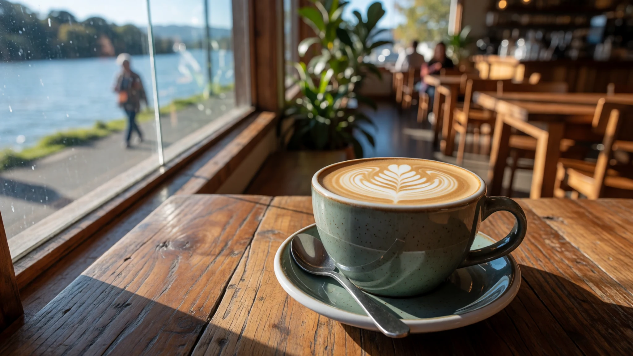
- Hāngi — Marae and community events, by arrangement
Food cooked in an earth oven, with meat, potatoes, kūmara and pumpkin wrapped in leaves and buried over hot stones. It is a traditional Māori method usually reserved for gatherings and celebrations, so ask locally about hāngi held on marae or at community events.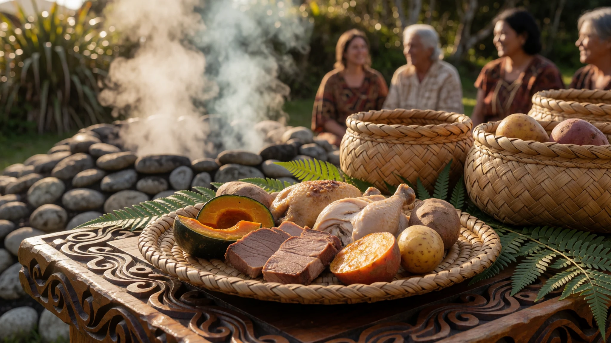
- Meat pie — Bakeries and takeaway counters in Whanganui city
Mince-and-cheese or steak pie, eaten hot from a bakery bag at lunchtime or after a day on the water. Pies are a staple of New Zealand takeaway culture and are easy to carry onto the river. Most bakeries in town sell them through the day, so buy one before a long drive or paddle. - Fish and chips — Seafront takeaway shops near the river mouth
Battered fish and chips, eaten from paper on a bench near the river mouth. It is a classic New Zealand takeaway, simplest when eaten where it is bought. Ask what the catch of the day is, as it depends on the boats in port. - Kūmara — Local markets and farm stalls in the valley
Kūmara, the sweet potato brought to New Zealand by early Māori voyagers, is served roasted, mashed or cooked in a hāngi. Look for it at local markets and farm stalls in the valley, where it is sold fresh in season. Eat it as a side dish, with butter and salt.
Plan it
Best time. November to April is the most comfortable stretch, with the warmest weather in summer and milder autumn air. June to August is cooler and wetter, and river levels can rise after heavy rain at any time of year.
How long. 3–5
Getting there. Fly into Wellington or Palmerston North, then drive or take a bus to Whanganui city, the usual start for river trips. Upper-river paddles begin from Taumarunui by arrangement with operators.
Budget. mid
Tips
- Book canoe and jet-boat operators ahead in the summer school holidays
- Check river levels with operators before setting off, as rain changes conditions quickly
- Carry water, food and rain gear, since shops are scarce upriver
- Expect patchy mobile signal and carry a paper map
- Small operators may prefer cash, so bring some alongside your card
Etiquette
- Ask before entering a marae or photographing people
- Leave gates and farmland as you find them
- Take all rubbish out with you and keep it out of the river
Nearby
Sources
- Wikidata Q1940419 (CC0)
- Wikipedia: Whanganui River (rev 1368118623) (CC BY-SA 4.0)
- Wikivoyage: New Zealand (rev 5402739) (CC BY-SA 4.0)
- Wanganui and the Whanganui River, from Durie Hill (CC BY 3.0)
- Whanganui River.jpg (CC BY 2.5)
- Location map of Whanganui River, North Island (Public domain)
- Whio (Blue Duck) at Staglands, Akatarawa (Public domain)
- Koriniti marae, Whanganui River (CC BY-SA 2.0)
- Kayak at the Mangawaiiti campsite (Public domain)
- Ūpokongaro cycle bridge (CC BY-SA 4.0)
- View of the Whanganui River from the Whanganui River Road (CC BY 2.5)


