Vinicunca
Vinicunca, Peru
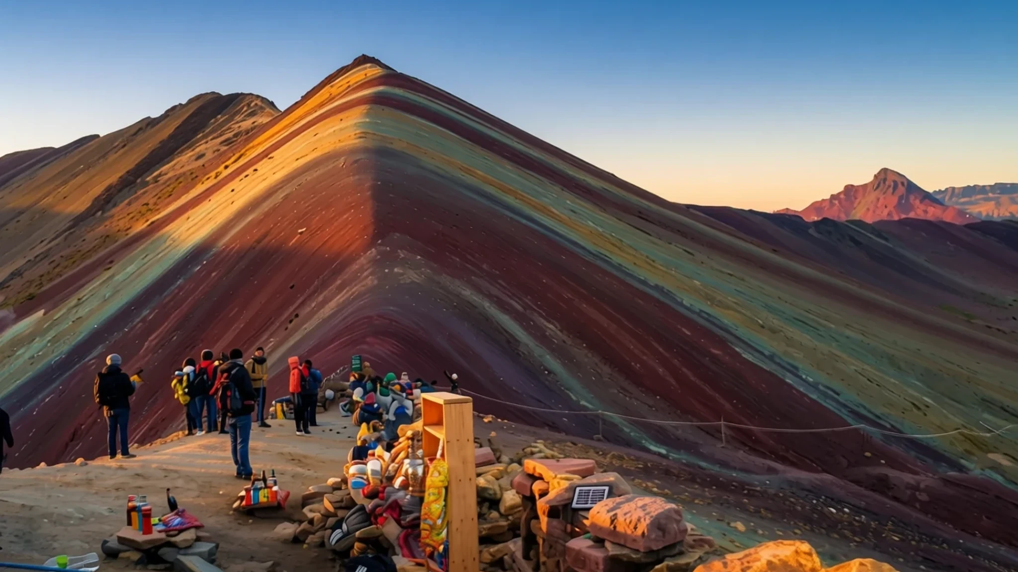
Vinicunca's striped slopes, at about 5,000 metres in the Cusco hills, make a long, thin-aired day trip worth the early start.
The place
Vinicunca sits in the Andes of southern Peru at 5,036 metres above sea level, a few hours' drive southeast of the city of Cusco. It is also called Montaña de Siete Colores or Rainbow Mountain, and it stands on the approach to Ausangate, one of the region's large snow peaks. From the valley floor the slope looks painted, with bands of red, ochre, yellow, green and pale cream running down its flanks. The colours come from the minerals in the rock rather than from paint or vegetation, and they look most vivid when the light is low and clear.
For most of its history the mountain was a remote high place known mainly to herders. Its upper slopes were once capped with glacier ice, which has since retreated, leaving bare banded rock that shows the stripes more plainly. In recent years the stripes have drawn large numbers of visitors, and the valley has changed from a quiet pasture into a busy day-trip circuit. Access is still rough. The final stretch is a narrow dirt road, and the summit is reached only on foot or on horseback, so the place feels more remote than its photographs suggest.
The climb is the hard part. Altitude is the main hazard, and a spell of acclimatising in Cusco before the walk is sensible. Weather turns quickly in these mountains: the sun can be fierce by midday, while nights are cold and snow is not unusual. Pitumarca and Cusipata are the usual starting points, and the path is well marked enough to follow without a guide.
Its story
The story of Vinicunca is partly geological and partly about the people who live around it. The stripes were laid down over long spans of time as minerals in the rock were deposited and altered, and the reds, yellows and greens visible today are the record of that process. Local families knew these slopes long before outsiders took an interest, grazing alpacas and llamas on the high pasture and walking old routes between hamlets.
The mountain was once crowned with glacier ice. As the ice pulled back, the bare banded rock became more visible, and that change is part of why the colours now look so striking. Photographs spread faster than the trail could cope with. Within a fairly short period the place moved from a remote herders' landmark to a stop on the tourist circuit from Cusco, and the change arrived quickly for communities that had few roads and little infrastructure.
Tourism has brought money and friction in roughly equal measure. Some villagers sell snacks, horse rides and bottled drinks, and that income matters in households where livestock is the main resource. Other residents worry about litter, trampled ground and crowds at the viewpoint. Discussion about how to manage visitor numbers, where to park and how to share the benefits is still going on, and the answers are still taking shape.
What to see
- Red Valley — Red Valley, below the summit
The Red Valley offers a quieter alternative to the summit, and many visitors find it just as striking. Its red and ochre walls line an easy path, so a guided tour is not essential. Alpacas graze the slopes, and wild vicuña are sometimes seen at a distance. Small villages in the valley keep traditional ways of life, including colourful dress.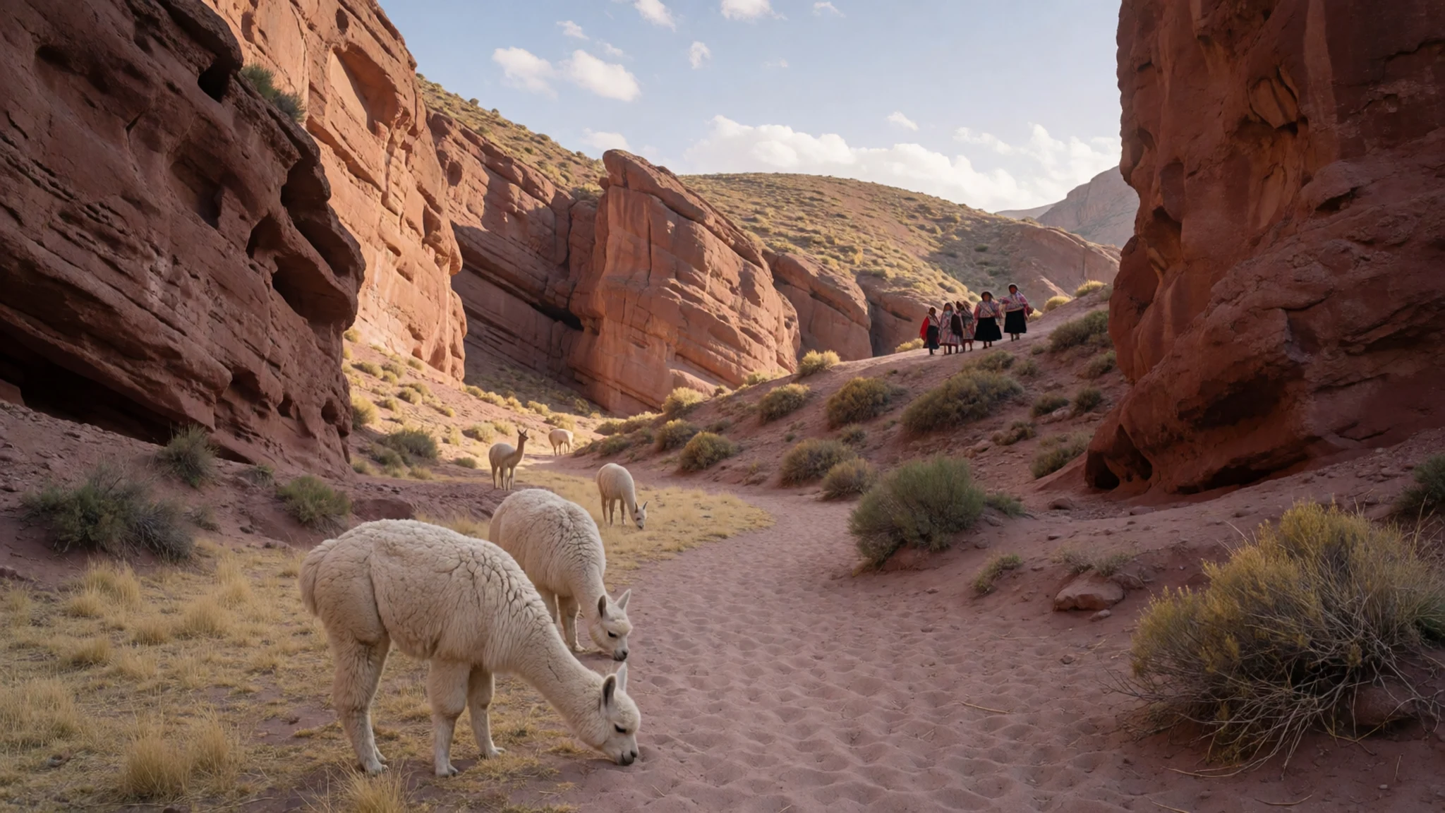
- Summit viewpoint — Vinicunca summit
The summit is the reason most people come, and the view repays the climb once the legs and lungs have settled. Stripes of colour run down the slopes in every direction, and the light changes the palette through the morning. Stalls near the top sell hot food and drinks, so a short rest is easy. Keep the pace slow, because the air is thin at this height.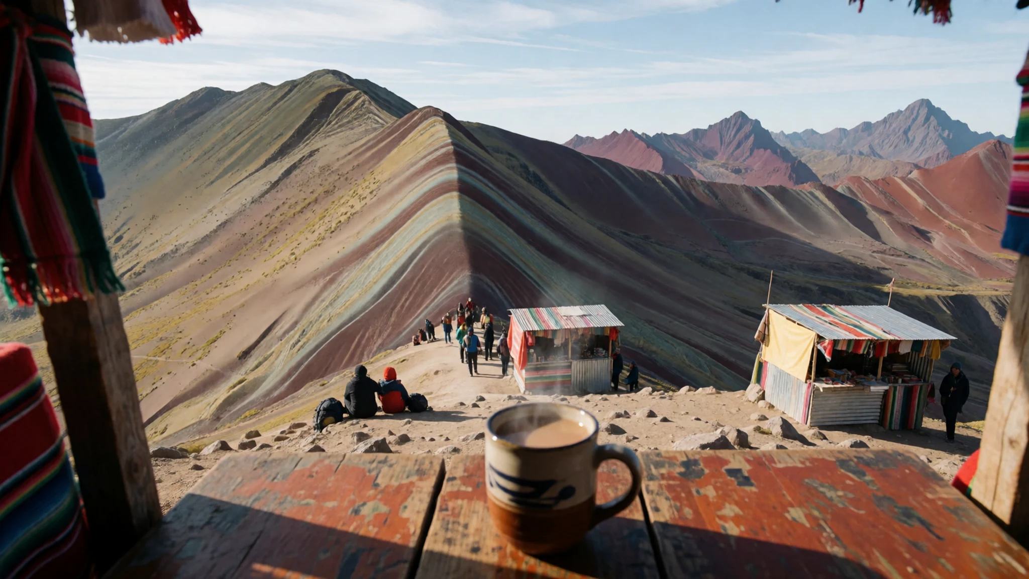
- Ausangate view — Summit ridge, looking towards Ausangate
Ausangate, a large snow peak of the region, is visible from the high ground near the summit. Its white flanks offer a strong contrast to the banded slopes below, and on clear days the two mountains can appear in the same frame. Trekkers often treat this route as one stage of a longer circuit around the peak.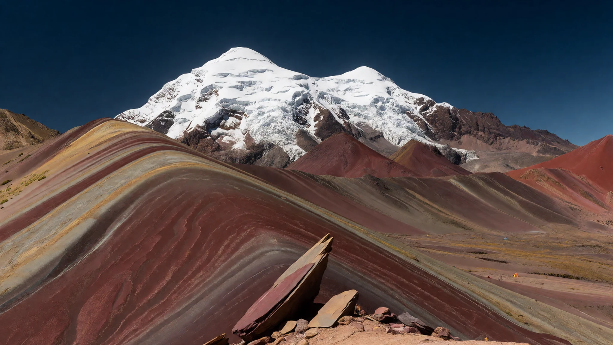
- Pampa Chiri trailhead — Pampa Chiri, reached from Pitumarca
Pampa Chiri is the community where the walk to the summit begins for those coming from Pitumarca. The approach passes through several rural communities, and the path is shared with herders and their animals. Parking is limited, and vehicles are sometimes crowded by tour vans. Ask locals before camping or leaving the path, and allow time for the walk up.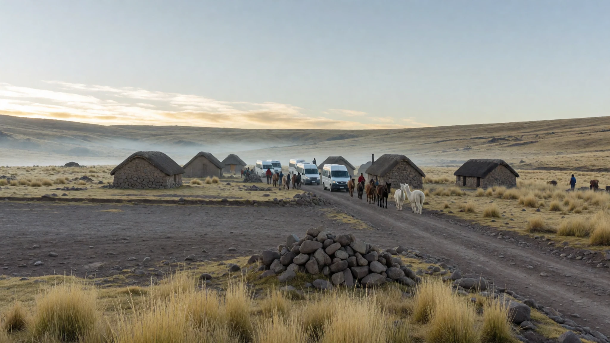
- Cusipata bridle path — Cusipata, on the Cusco side of the mountain
From Cusipata, a bridle path leads walkers to the summit on foot, as an alternative to the road route from Pitumarca. Collectivo minibuses leave from the main street in the early morning, but return runs are less frequent, so plan the way back before setting out. Carry water, because there is little along the trail.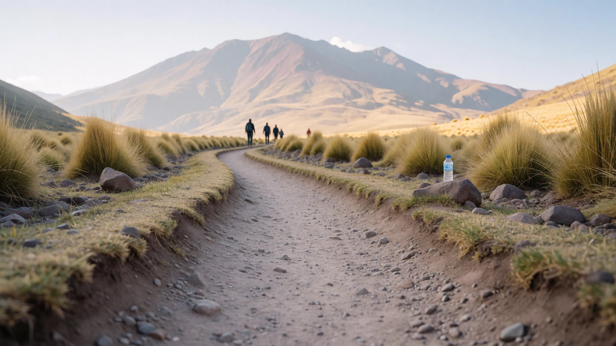
Culture
Vinicunca lies in the Quechua-speaking Andes, where many families still keep herds of alpacas and llamas and speak Quechua at home. The valley communities are hosts of the trail, not a backdrop for photographs. Their houses, fields and grazing land lie close to the path, and walkers pass through them on the way up.
Local customs about land and livestock matter. Animals and their fleeces are a family's main resource, and people here have long depended on pasture rather than wage work. Asking before entering a yard, pausing when a family is herding, and treating paths as shared routes all reflect ordinary courtesy in these villages.
Photography needs care. Portraits of people in traditional dress are often expected to be paid for once the picture is taken. Some residents are glad to pose, while others prefer not to be photographed at all. Asking first, with a gesture towards the camera, is the usual way to avoid awkwardness. Ask before photographing people or animals, and agree any payment before the picture is taken.
What to wear
Vinicunca's valley communities wear the layered dress typical of the Cusco highlands, and the colours of the mountain are echoed in their textiles. Women traditionally wear full pleated skirts, embroidered blouses and a woven shawl, often used to carry a load on the back, along with brimmed or felt hats. The cloth is mostly wool from alpaca or sheep, spun and woven by hand and dyed in red, pink, orange and green. Patterns often carry local meaning, and weaving skills are passed down within families.
Most people now mix this with everyday clothing. Younger people may wear jeans, jackets and trainers in town, switching to traditional dress for festivals, market days or formal occasions. Outdoor work calls for practical layers, and knitted hats, gloves and waterproof jackets sit alongside the older garments.
For a visit, dress for a mountain that changes quickly. Days can be warm in strong sun, nights are cold, and snow is possible, so pack a warm mid-layer, a windproof shell, sun protection and a hat. Sturdy trainers or boots with grip suit the rocky and muddy paths, and sunglasses help against high-altitude glare. Modest clothing is appreciated in villages, so leave revealing outfits for the city.
What to eat
- Snacks from village sellers — Village stalls on the approach and near the trailhead
Villagers along the approach sell simple snacks, which make a sensible reserve for a long day. Pick up something filling before the walk, since options near the summit are limited. Buy a little extra to carry for the return.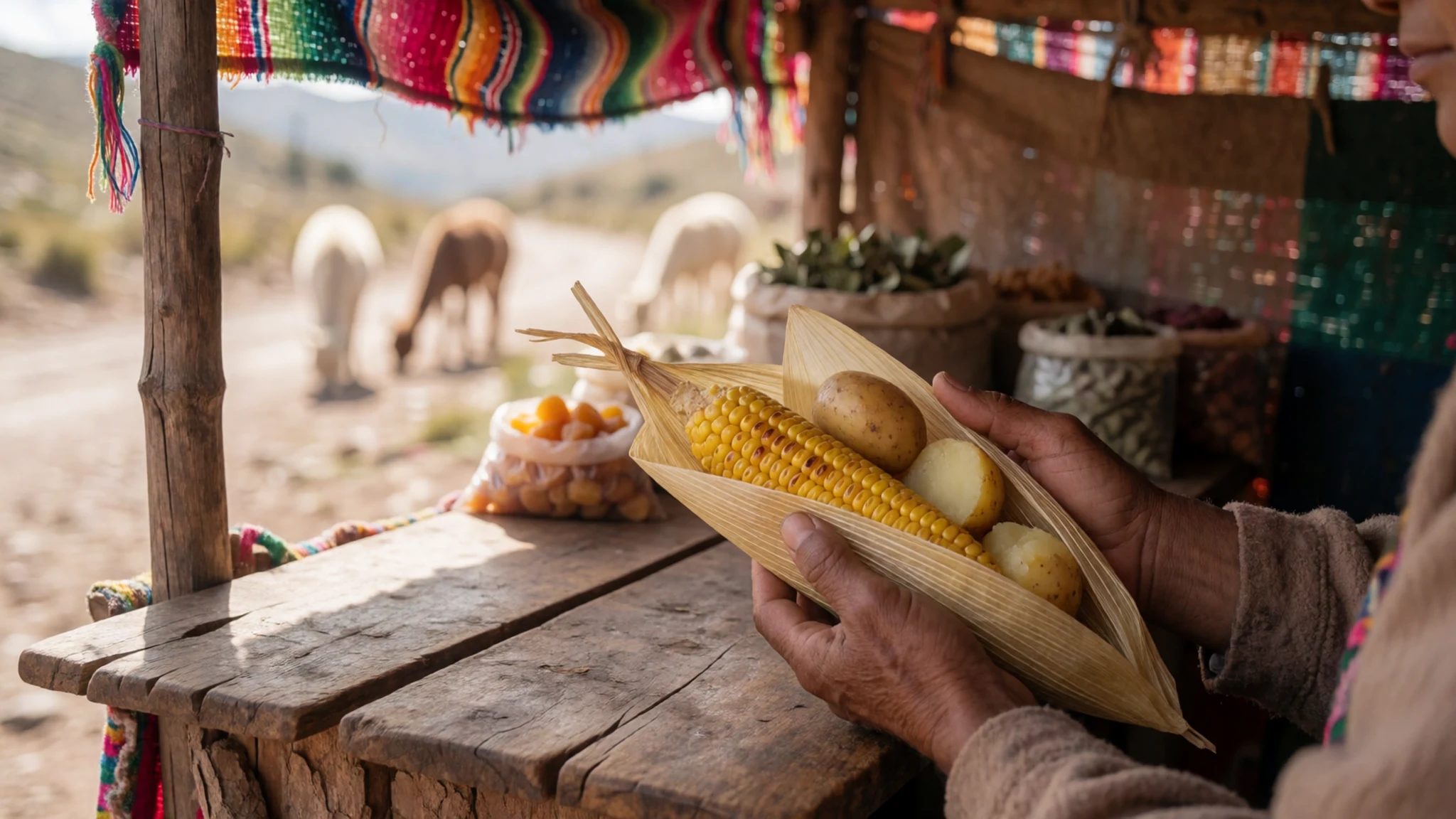
- Hot food and coffee or tea at the summit stalls — Stalls near the summit
Stalls at the top serve hot food, coffee and tea, a welcome change after the climb. Menus are simple and change with supplies, so expect a short choice rather than a full kitchen. Cash is the safest way to pay.
- Bottled water and soft drinks — Village stalls near the trailhead
Bottled water and soft drinks are available from villagers, usually near the start of the trail. Stream water is not a safe choice without treatment. Buy enough for the whole day, because supplies thin out higher up. - Coca leaf tea — Cafés in Cusipata and Pitumarca
Coca leaf tea, known locally as mate de coca, is widely served across the Cusco region and is often offered to ease the altitude. It is mild and herbal, and it suits a cold start. Simple cafés in the towns serve it.
Plan it
Best time. May to September is the dry season and the usual window for the trail. December to February brings significant rain, so the path can turn slippery and the views may be hidden. Expect cold nights and strong sun in any month.
How long. 1–2
Getting there. Fly or travel to Cusco, then drive two to three and a half hours to Cusipata or Pitumarca, depending on route. The last stretch is a narrow dirt road, so a hired car or a day tour is the simplest option, followed by a walk up to the summit.
Budget. mid
Tips
- Acclimatise in Cusco before walking up, if you can
- Start early to beat the crowds at the viewpoint
- Carry water and treat any stream water, since supplies thin out higher up
- Bring cash in soles for snacks, horse rides and village donations
- Pack warm layers, a waterproof shell and sun protection; nights are cold and snow is possible
- Allow extra time for the descent, when collectivo vehicles may not be running
Etiquette
- Ask the village before camping or pitching a tent, and agree any payment first
- Keep to the marked path and do not cut across pasture or ritual sites
- Ask before photographing people, especially in traditional dress
- Carry litter back down with you
Nearby
Sources
- Wikidata Q28025526 (CC0)
- Wikipedia: Vinicunca (rev 1379093469) (CC BY-SA 4.0)
- Wikivoyage: Vinicunca (rev 5084372) (CC BY-SA 4.0)
- Photo: Montana de colores, Cusco (Christian Morales Callo) (CC BY-SA 4.0)
- Photo: Montanaarcoirisperuabanto (Diego Aldrin Abanto Ricce) (CC BY-SA 4.0)
- Photo: Red valley (Havardtl) (CC BY 4.0)
- Photo: Winicuca panorama (Daniel Sánchez Ibarra) (CC BY-SA 4.0)
- Photo: Montana de Colores (Alec Gamoff) (CC BY 2.5)
- Photo: Alpacas in the mountains (Havardtl) (CC BY 4.0)
- Photo: Ausangate as seen from Vinicunca (Pi3.124) (CC BY-SA 4.0)
- Photo: 10.26 Rainbow Mountain-18 (Esmée Winnubst) (CC BY 2.5)


