Tso Moriri
Tso Moriri, India
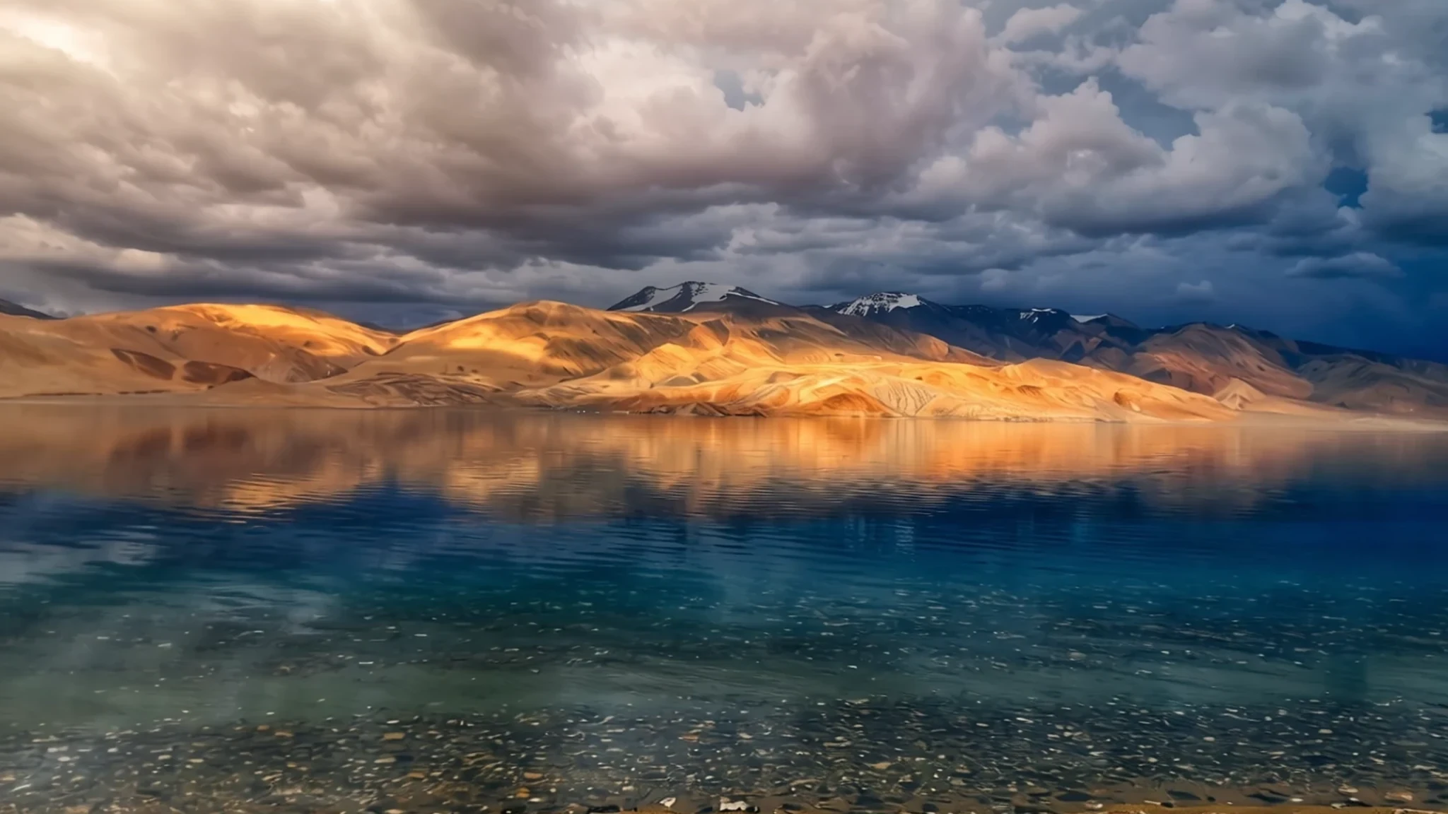
A wide, high lake on the Changthang Plateau in eastern Ladakh, reached by permit and a long drive in summer.
The place
Tso Moriri sits at 4,522 m (14,836 ft) on the Changthang Plateau, the high, windswept country of northern Ladakh that continues the Tibetan plateau to the east. It is the largest high-altitude lake lying wholly within India, stretching about 26 km from north to south and between 4 and 8 km across. The name comes from Tibetan and is often rendered as something like 'mountain lake', which suits a broad basin of bare slopes with snowy peaks standing back from the shore.
Three glacial streams feed the lake, entering from the west, north and south-west. Where they reach the water they spread into marshes, and these wet margins are part of why the basin matters to birds and other wildlife. The southern outlet is now blocked, so the lake has no natural exit and is endorheic: water arrives and leaves only by evaporation. The water stays slightly brackish yet palatable, and it is low in nutrients, which shapes what can live there. The basin is protected as a Ramsar wetland and as the Tso Moriri Wetland Conservation Reserve.
People are few. Karzok, on the north-western shore, is the only settlement that stays occupied through the year, and military outposts line the eastern banks. Otherwise the land is open plateau. The climate is cold desert, with mild summer days and winters far below freezing. Road access is mostly a summer matter, so the lake is best understood as a place of space, wind and distance rather than a single viewpoint.
Its story
Tso Moriri's story is mostly a story of water and of the few people who live beside it. Three glacial streams carry meltwater into the basin, and where they meet the lake they have spread into marshes that shift with the seasons. The southern outlet is blocked, so nothing leaves the lake except by evaporation. Over time this has left the water slightly brackish but still drinkable, and it has shaped the ecosystem: the water is poor in nutrients, so life there is measured and specialised rather than lush.
The lake's value for conservation is now formally recognised. It is listed as a Ramsar wetland site and lies within the Tso Moriri Wetland Conservation Reserve, so the marshes and the birds that use them are protected as a shared natural resource. For visitors, this protection shows up mainly as rules about where to go, rather than anything obvious from the shoreline.
Karzok, on the north-western shore, is the human thread through the story. It is the only settlement on the lake that stays occupied through the year, and its people live through winters that fall far below freezing. Military outposts along the eastern banks are the other visible presence. Between them they make the lake feel less like empty wilderness than like a working landscape, one that comes alive in the short window when the roads open and the ground thaws.
What to see
- The lake shore — Changthang plateau, Ladakh
The lake itself is the main attraction, and most time is spent walking or sitting along its edge. On calm days the water looks a deep, clear blue, and the open ground gives wide views across to the far ridges. Bring a warm layer even in summer, because wind can pick up quickly across open water and the temperature drops once the sun moves.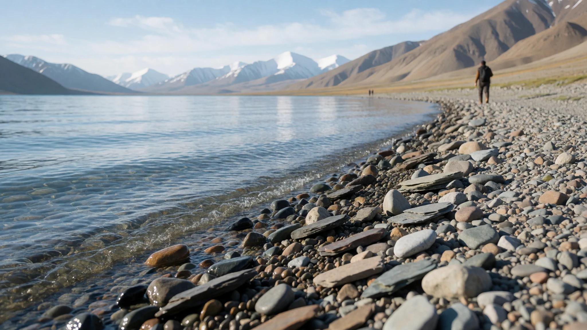
- Karzok village — North-western shore of Tso Moriri
Karzok is the only village on the lake that stays inhabited all year, and it is the practical base for an overnight stay. Its houses sit near the north-western shore, and a short walk brings you to the water. Ask before photographing people or their homes, and keep to the paths between buildings rather than cutting across fields or grazing ground.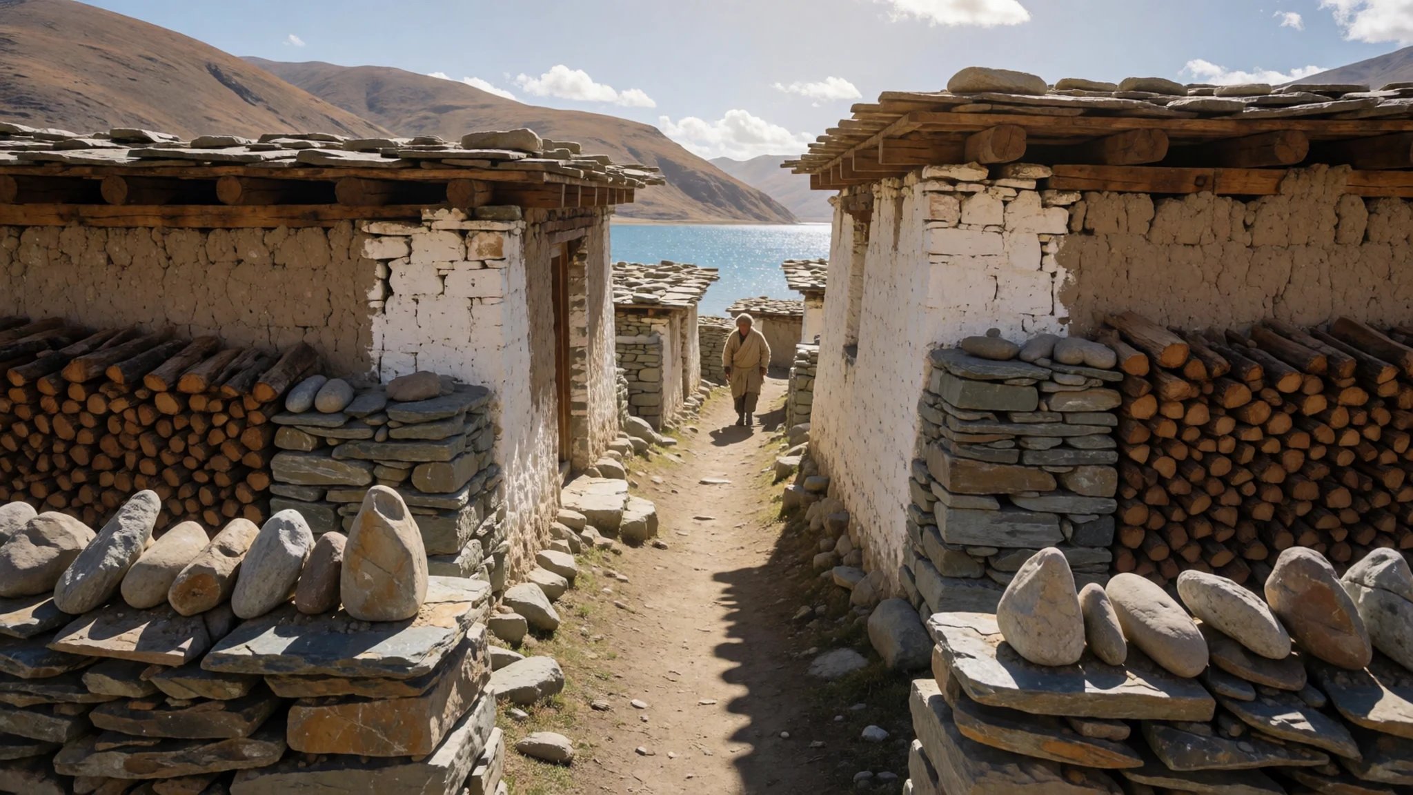
- The stream deltas — The west, north and south-west inflows
Three glacial streams, Karzok Phu from the west, Gyama Phu from the north and Phirse Phu from the south-west, spread into marshes where they enter the lake. The wet ground is fragile and easy to damage by walking across it. Stick to firm, dry paths, keep dogs away from the marsh edges, and leave the birds undisturbed.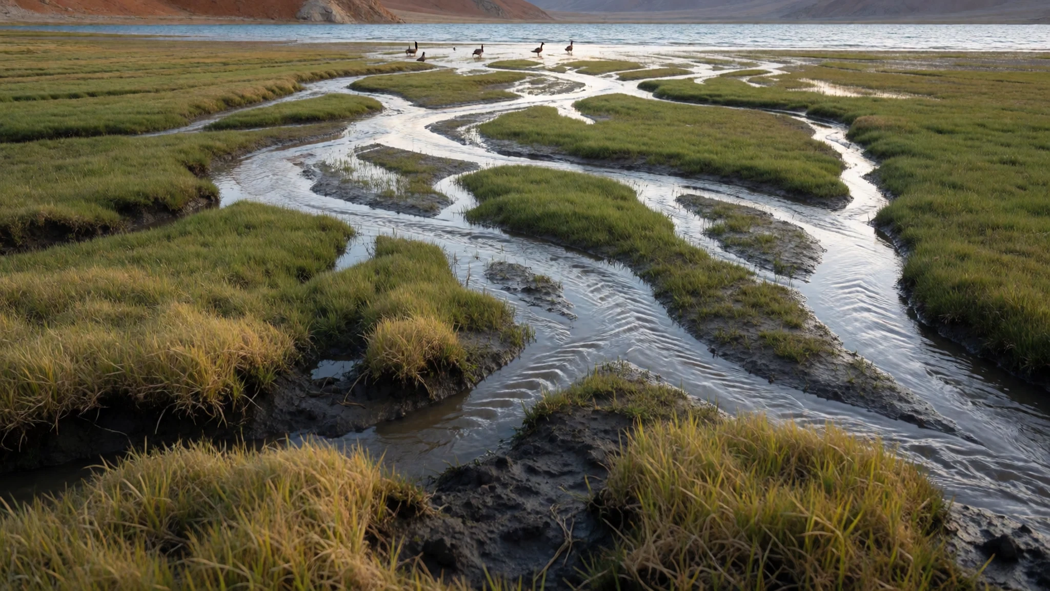
- Markha Valley trek — Markha valley, south-east of Leh
The Markha Valley trek is one of the more accessible and popular walks in Ladakh, and it offers a different view of the high country from the lake. It is not a cheap walk: campsites along the route charge for basic facilities, so many walkers carry their own tent. Allow time to adjust to the altitude before setting out.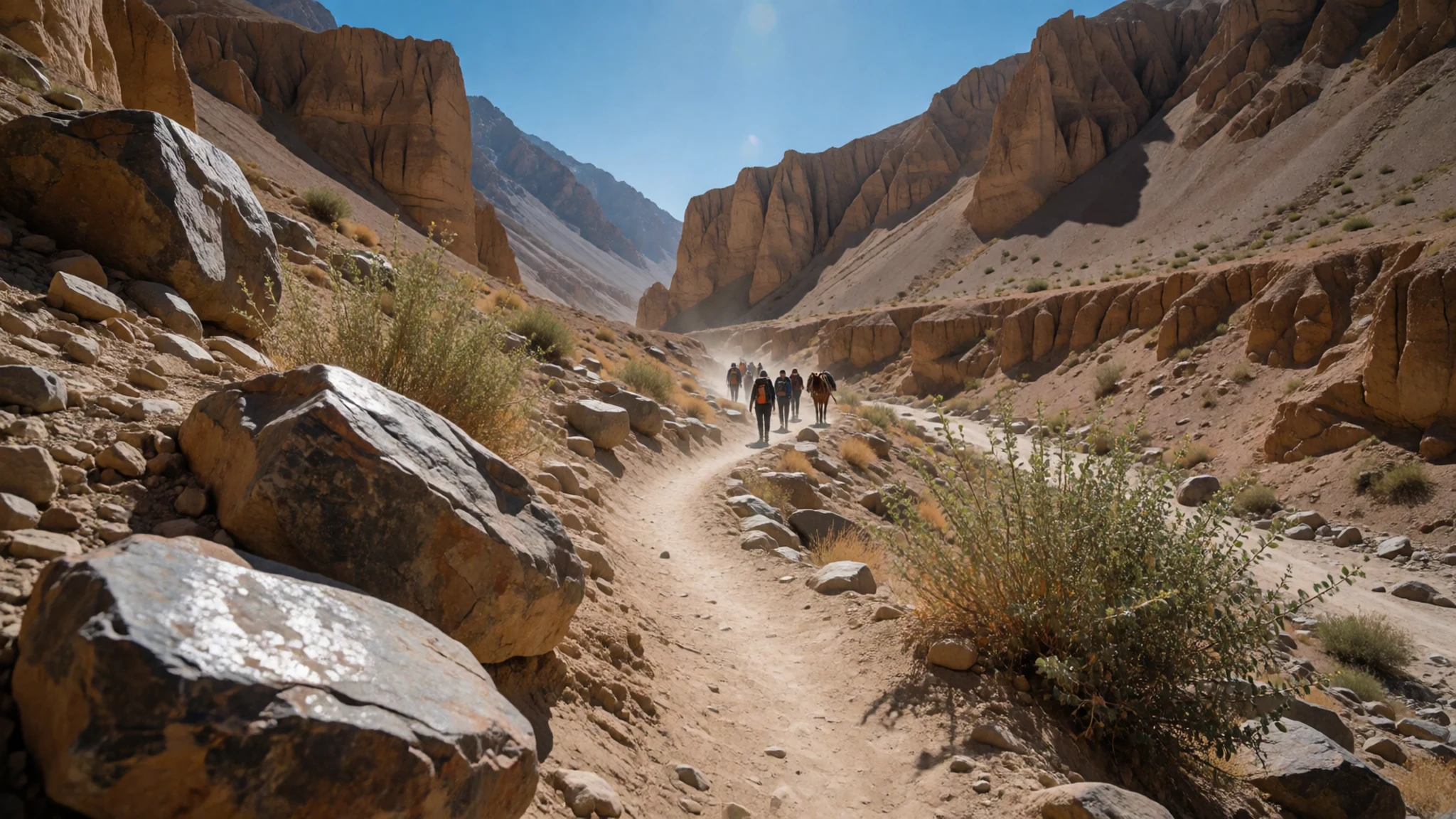
- Thiksey monastery — Near Leh
Many of the monasteries in the region can be visited on a day trip from Leh, and Thiksey is among the most visited. It is a Tibetan Buddhist monastery, and it makes a useful contrast with the empty plateau around the lake. Go with respect for the working community there, and check ahead for current opening arrangements.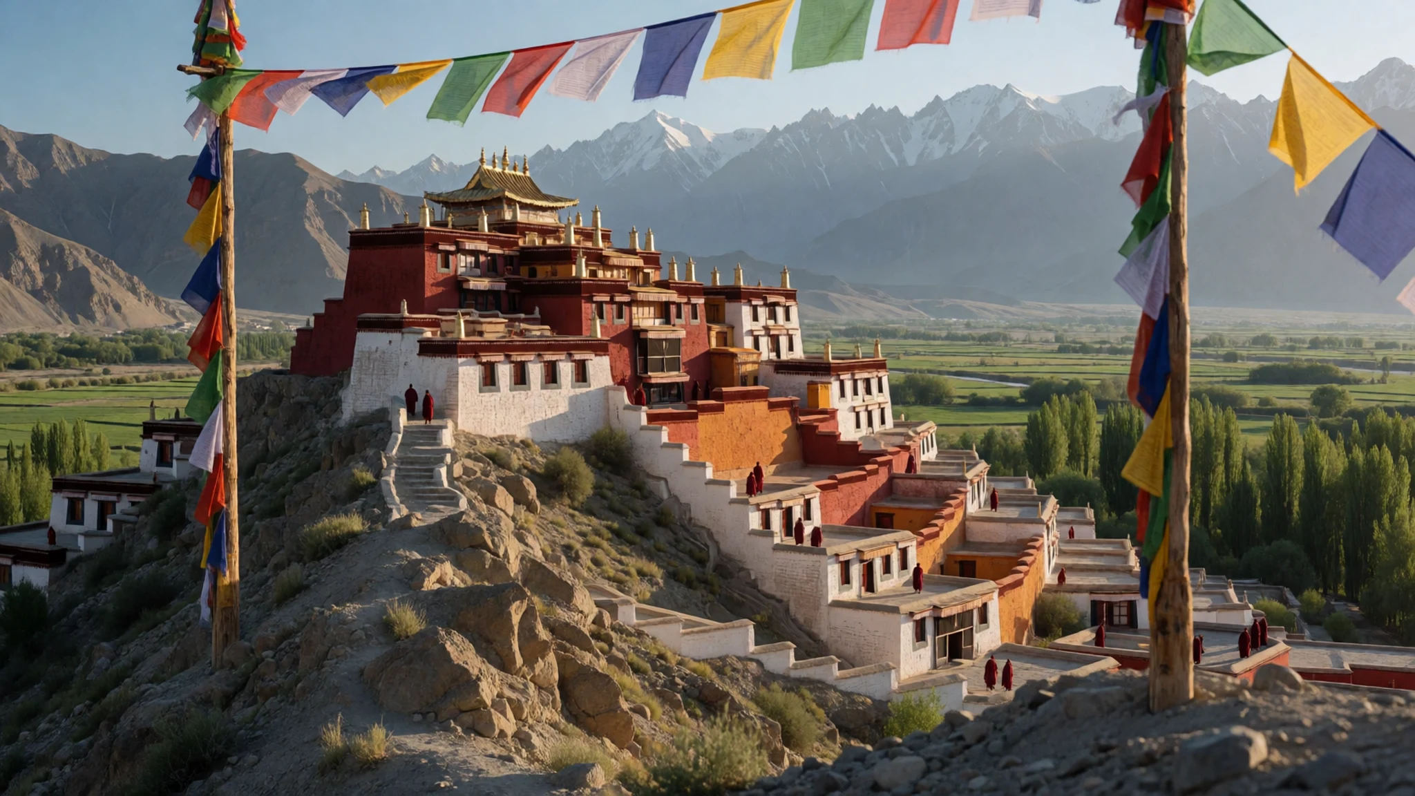
Culture
Ladakhis, especially in the Buddhist-majority areas, are welcoming to visitors, and women are a common sight working and shopping alone. Ladakhis are not Kashmiris; they form their own ethnic group. Calling them Kashmiris is likely to irritate them, particularly now that Ladakh is no longer part of Jammu and Kashmir. Many feel they were treated unfairly while the region sat within that state, and they generally support its place in India.
Religion matters deeply to most people here, and visitors are expected to follow local customs. Around Tibetan Buddhist sites, people walk clockwise, and inside a monastery hats come off, smoking is out of place and frescoes must not be touched. Visitors should also stay off statues, mani stones and other sacred objects. Monks are present in most monasteries, so keep voices low and move quietly through prayer halls. Walk clockwise around every chorten, mani wall and gompa, and keep your hat off inside.
What to wear
Traditional dress around Tso Moriri was built for cold, dry air and strong wind. Ladakhi women have long worn a full woollen robe, commonly called a goncha, with a tall headdress called a perak, decorated with turquoise and coral. Homespun wool and sheepskin were the everyday materials, and layered cloth made winter at altitude bearable. Those pieces still appear at festivals, weddings and temple occasions.
Day to day, many people wear ordinary jackets, jeans and trainers, especially in Leh and the larger villages. The older dress is kept for ceremony, and men's clothing has moved in a similar direction. You will still see plenty of traditional touches in colour and trim, particularly among older people.
For a visitor, the sensible approach is layers: a thermal base, a fleece and a windproof outer shell, since temperatures can swing sharply within a single day. Choose shoes that are easy to take off at monasteries, and pack a warm hat for the lake. At religious sites, dress modestly with shoulders and knees covered. Bring sun cream, because the air is thin and the sun is strong even when it feels cool.
What to eat
- Thukpa — Simple eateries in Leh and the larger villages
A noodle soup that reflects the region's Tibetan roots, usually thick with vegetables and sometimes with meat, and served with a sharp chutney on the side. It is warming after a cold day on the road or trail. Order it in the simple kitchens where the broth is kept simmering through the day.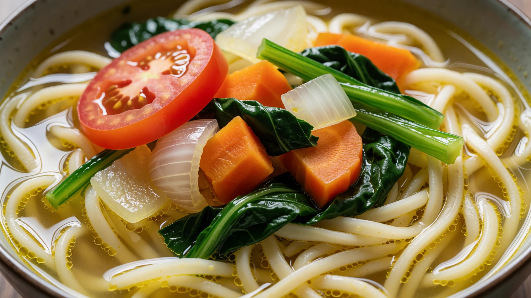
- Momos — Street stalls and small eateries in Leh
Steamed dumplings filled with vegetables or meat and served with a hot chutney that many people find the best part of the meal. They are quick, cheap and easy to find, which makes them a reliable first meal after a long journey.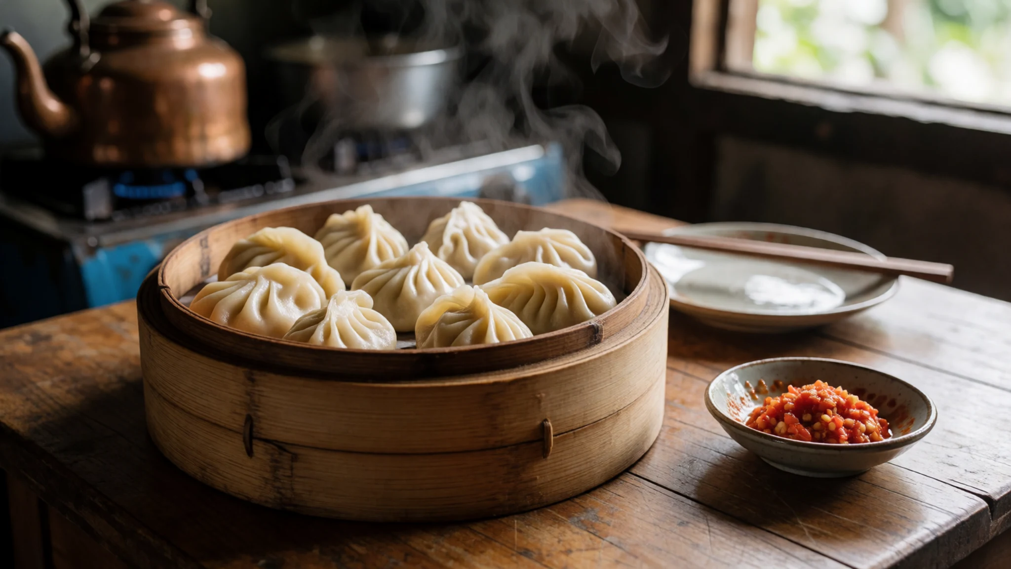
- Skyu — Family-run eateries in Leh and the villages
A hearty pasta dish cooked with root vegetables, filling and well suited to the cold months. It is closer to home cooking than restaurant fare, so family-run places are the best bet for finding it. - Tsampa — Grocery shops in Leh and trekking supply stores
Roasted barley flour that needs no cooking, often mixed with butter tea or salty tea and sometimes with hard cheese. It travels well and has long been a staple for walkers. Buy it loose from a shop if you are planning a trek. - Ladakhi pulao — Sit-down restaurants in Leh
Rice cooked in mutton stock and seasoning, then layered with caramelised onions, carrots and nuts. It is a restaurant dish rather than street food, so order it at a sit-down place and allow time for it to arrive.
Plan it
Best time. June to September, when the roads are open and temperatures reach about 30 °C at the warmest. Winter brings well-below-freezing nights and access becomes very limited, so the warmer months are the realistic window for most visitors.
How long. 3–4
Getting there. Fly to Leh's Kushok Bakula Rimpochee Airport, which has several connections a day from Delhi. The lake is roughly 219 km from Leh by road, so the last leg is a long drive with a permit for the restricted area. Rail access is not yet available nearby.
Budget. mid
Tips
- Apply for the restricted-area permit early through the Leh magistrate office or a registered agency, and bring your passport
- Spend a day or two acclimatising in Leh before heading to the lake
- Carry cash, since card payment is unreliable in villages and at roadside stops
- Carry more water than you think you need and drink it steadily at altitude
- Check road conditions in Leh before setting out, as weather can close routes at short notice
Etiquette
- Walk clockwise around chortens, mani walls and monasteries
- Take hats off and do not smoke inside monasteries or touch frescoes
- Ask before photographing people and their homes
Nearby
Sources
- Wikidata Q2087758 (CC0)
- Wikipedia: Tso Moriri (CC BY-SA 4.0)
- Wikivoyage: Ladakh (CC BY-SA 4.0)
- Mountains in Ladakh, Jochen Westermann (CC BY-SA 2.0)
- Tso Moriri, Ladakh (Tanay Kibe) (CC BY-SA 2.0)
- Frozen, Tso Moriri (Vinay Goyal) (CC BY-SA 4.0)
- Tso Kiagar Lake, Ladakh (Prabhu B) (CC BY 2.5)
- Tso Moriri, Ladakh (John Hill) (CC BY-SA 4.0)
- Tso Moriri, Ladakh, 2010 (John Hill) (CC BY-SA 4.0)
- Lake Tsomoriri and sign (John Hill) (CC BY-SA 4.0)
- Buddhist shrine on the banks of Tso Moriri, 2010 (John Hill) (CC BY-SA 4.0)


