Tsingy de Bemaraha National Park
Tsingy de Bemaraha National Park, Madagascar
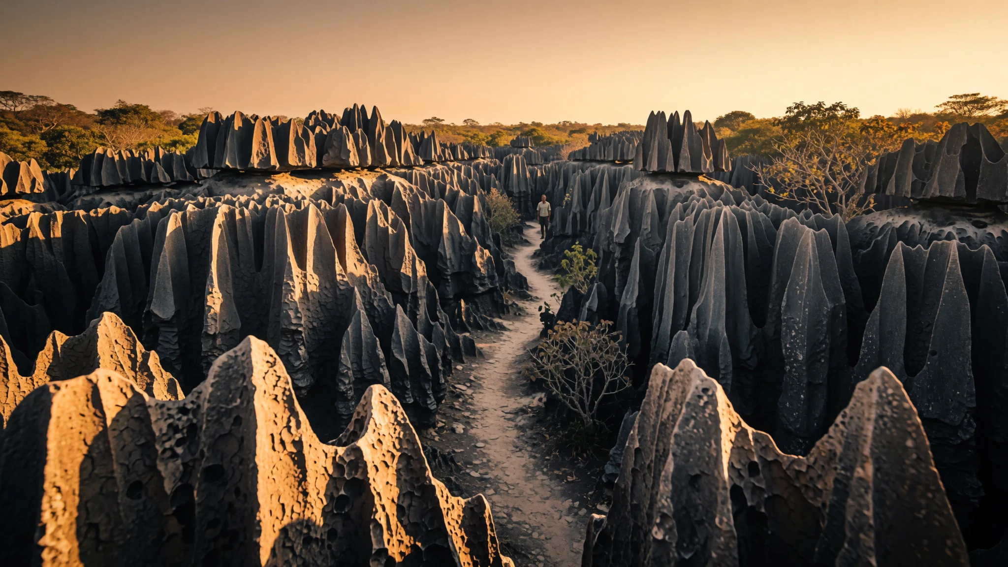
A limestone labyrinth of razor-edged pinnacles in north-west Madagascar, where the walking is slow and the scenery is unlike anywhere else.
The place
Tsingy de Bemaraha National Park lies in north-west Madagascar, mostly within Antsalova District, with a small north-eastern corner in Morafenobe District. It is built around two limestone areas, the Great Tsingy and the Little Tsingy, and the Manambolo River runs through the landscape. Together with the neighbouring strict nature reserve, the park forms a World Heritage Site. It was founded in 1997.
The rock here is karst. Over a very long time, groundwater has dissolved the upland limestone, undercutting plateaus and carving caverns and narrow fissures beneath the surface. Where vertical and horizontal erosion overlap, the ground breaks into thousands of sharp limestone needles standing close together, like a forest with no soil between the trunks. Most of the park is seen on foot, with paths threading between pinnacles that are often only a body's width apart.
The word tsingy is Malagasy and describes the karst badlands of the island. The usual English gloss is a place where one cannot walk barefoot, which gives a fair idea of the surface: sharp, uneven and unforgiving to bare skin and soft soles alike. Access is by guided walk, the heat on exposed rock can be fierce, and the terrain is hard going even for experienced walkers.
Its story
The history of Madagascar is one of long migration and layered kingdoms, and the protection of the western limestone is a recent chapter in that story. Early settlers reached the island around the middle of the first millennium CE, bringing ancestry from Southeast Asia and eastern Africa. Over the following centuries, several kingdoms and chiefdoms rose and fell across the island. The Merina Kingdom, based in the central highlands, came to dominate from the 15th century and built a detailed political system, with rulers, nobles and a clear hierarchy of rank that shaped the highlands for generations.
European contact came later. From the 17th century, France set up trading posts along the coast, drawn by trade and by interest in timber and spices. Its influence grew through the 18th century, and in 1896 France formally made Madagascar a colony. Colonial rule reshaped administration, roads and land use, and left a French imprint on language and food that is still visible in towns today.
The limestone country of the west lay far from these centres of power. Its karst pinnacles and gorges were shaped by water over immense spans of time, long before anyone thought of them as a landscape to protect. The park was founded in 1997, alongside the neighbouring strict nature reserve, and it was later recognised as a World Heritage Site. Its present story is about balancing access, local livelihoods and the conservation of a landscape that cannot be quickly repaired once damaged. The rules that govern it reflect both a history of outside control and a long tradition of local custom.
What to see
- The Great Tsingy — Central park, Antsalova District
The Great Tsingy is one of the two limestone areas that give the park its name and character. Its pinnacles rise in dense, jagged clusters, and paths and, in places, ladders pick a way between them. Expect exposed rock to be hot by midday, and expect uneven ground at every step. Go with a licensed local guide who knows which routes are open this season.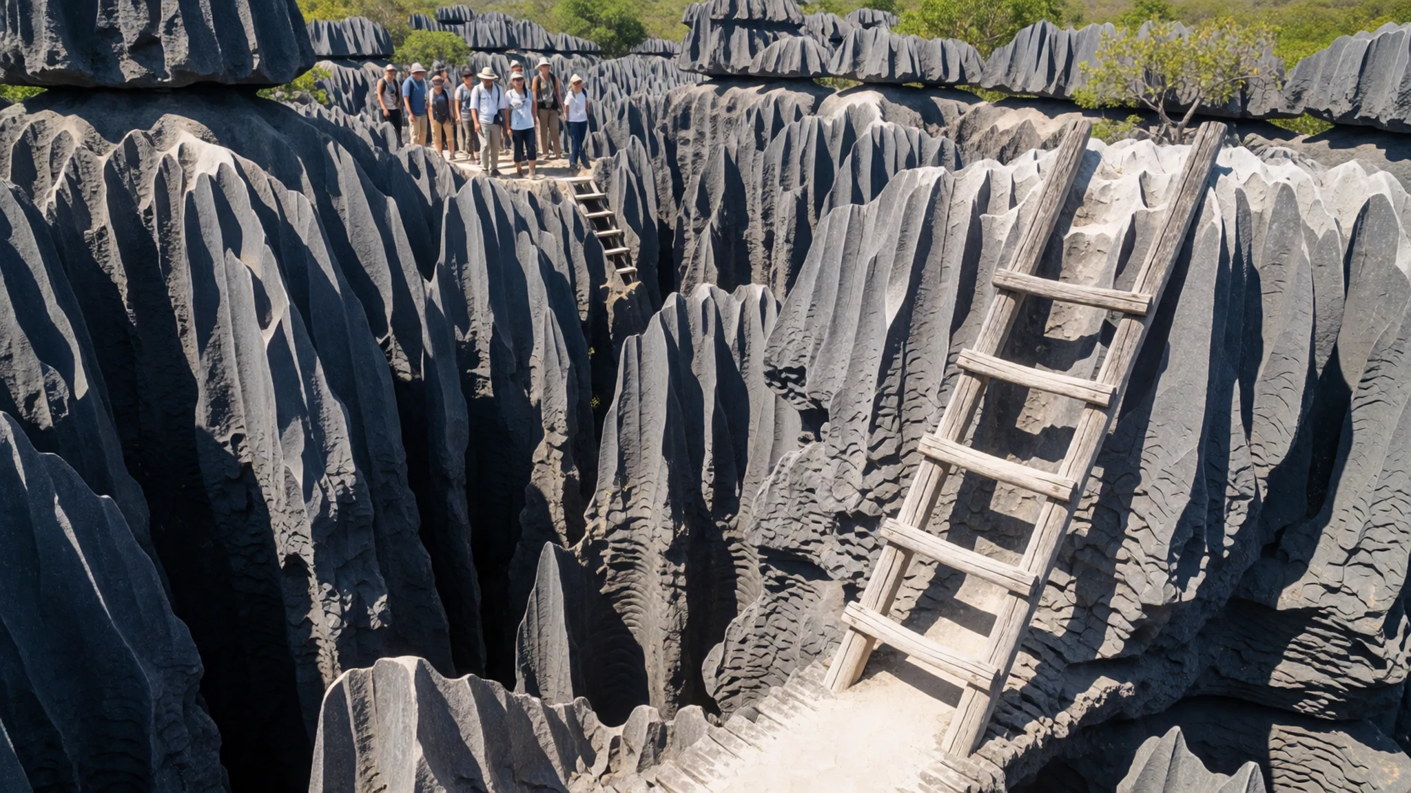
- The Little Tsingy — Within the park, close to the Great Tsingy
The Little Tsingy is smaller and whiter, formed from pale coral limestone that looks almost chalky in strong light. Dark patches on the surface show where acidic water has worked the stone, so colour shifts from white to black across a short distance. It is a good place to slow down and look closely at the texture, which is easy to miss from a distance.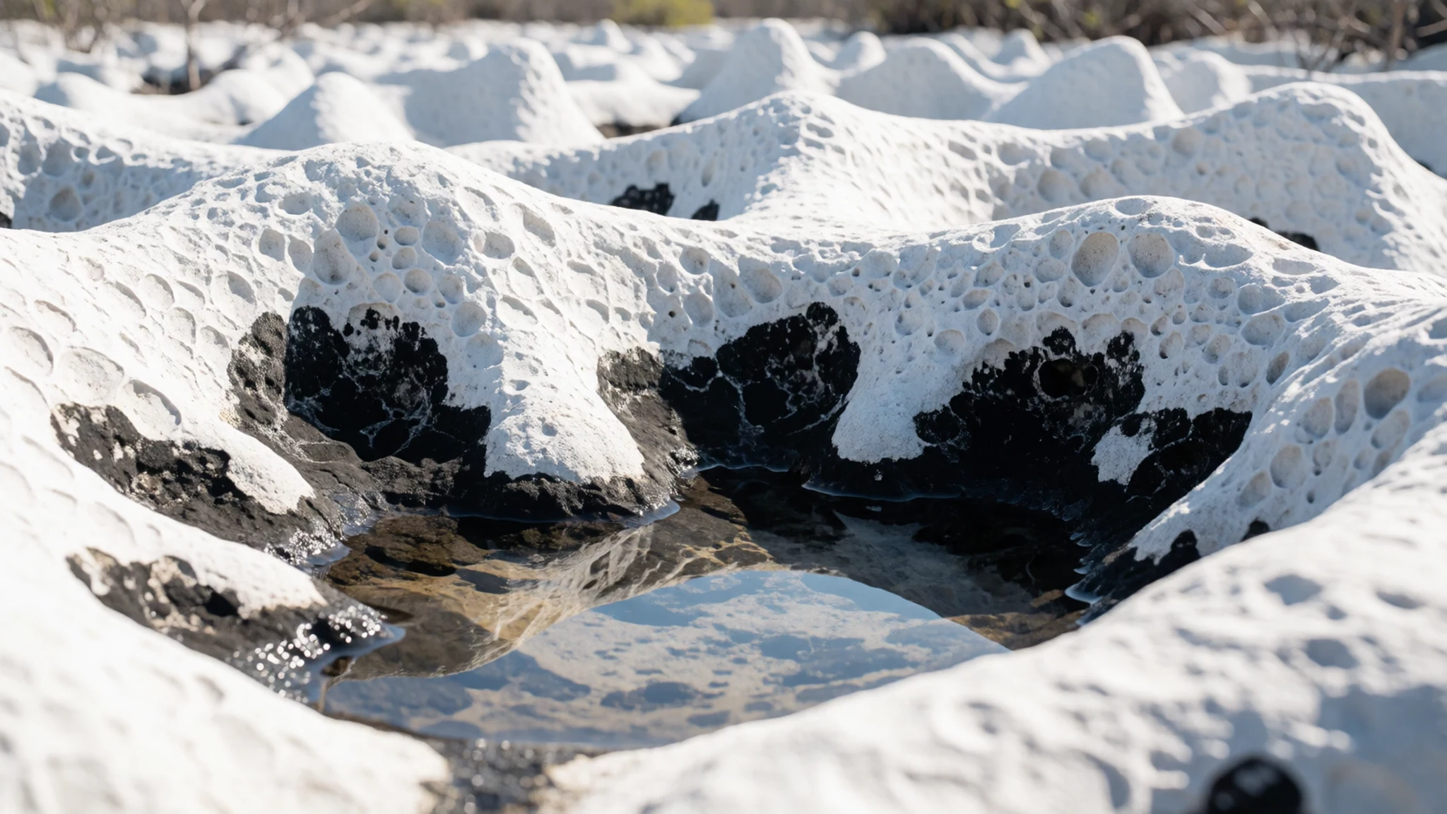
- The Manambolo River — Crossing the park
The Manambolo River crosses the park, and seeing the tsingy from its banks gives a different angle on the rock. Water has shaped this landscape for a very long time, so the river is part of the story rather than a backdrop. Ask a guide whether river access is possible in the season you visit, as conditions change with the water level.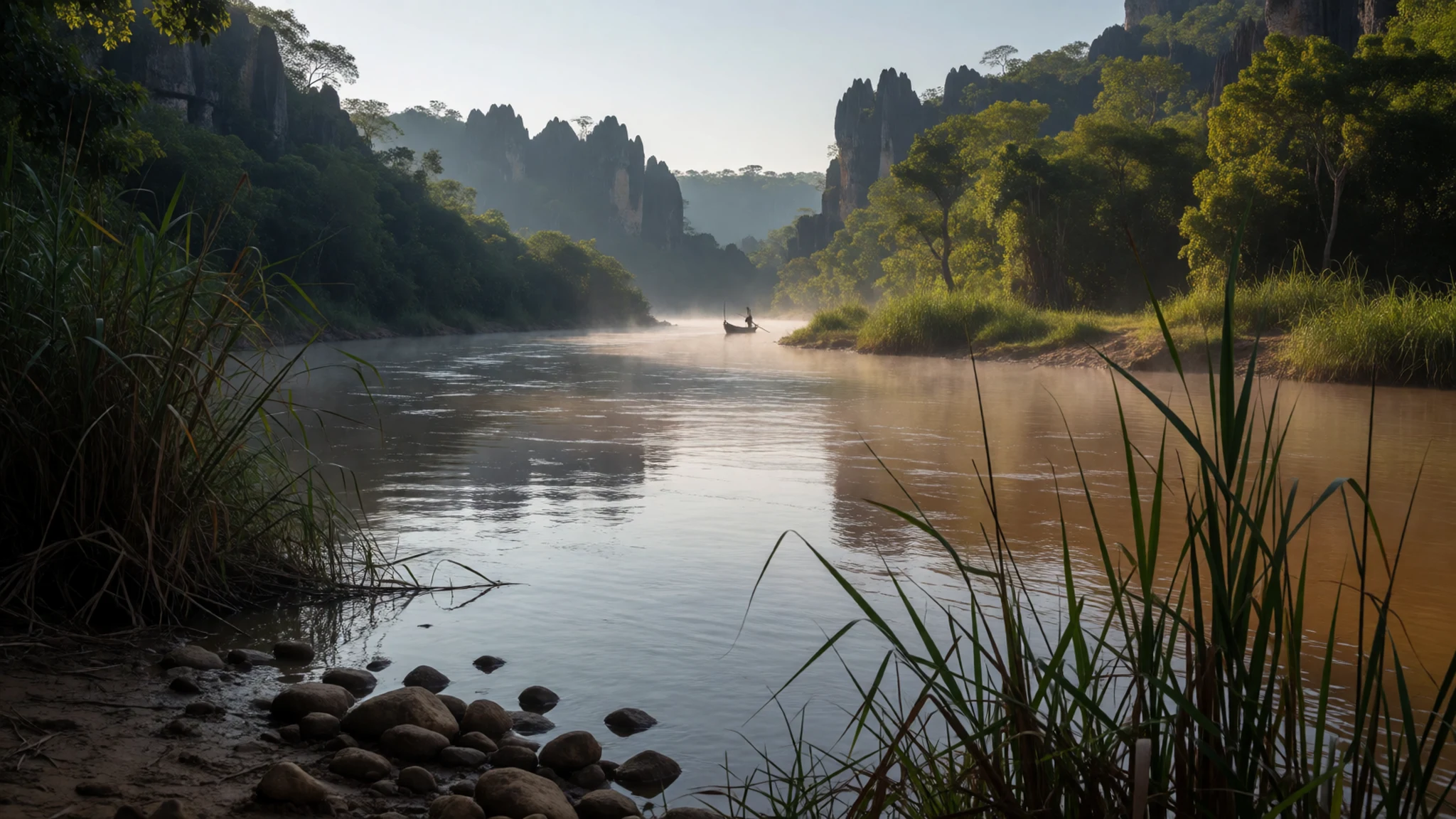
- Avenue of the Baobabs — North of Morondava, Menabe Region, west coast
The Avenue of the Baobabs is a separate excursion, an extraordinary stand of very large baobab trees north of Morondava on the west coast. It is one of the most visited sites in the Menabe Region, so expect company at sunrise and sunset. It makes a practical stop on a longer drive, and the trees photograph well in soft light.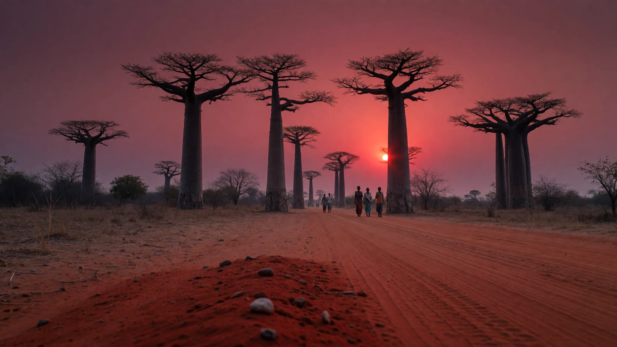
Culture
Tsingy de Bemaraha sits in a country where fady, local taboos, shape much of rural life. Fady differ from region to region and can restrict certain foods, colours of clothing or bathing in particular rivers and lakes. They are tied to ancestors, and many Malagasy keep them whatever their own faith, even when the reasons seem unclear. Visitors who stay mainly in the larger towns rarely meet them directly, but in villages near the park they deserve careful attention, and a local guide can explain what applies in each place.
Respect for elders and people in authority runs deep. The word tompoko (toom-pook) is used in the way that sir or madam would be in English, when addressing an older person, a police officer or a customs official. A polite greeting goes a long way before any request is made.
Photography needs care too. Tombs are treated with particular respect, and a picture taken without permission can cause real offence. Always ask before photographing a person or a tomb, and never photograph a tomb without clear permission.
What to wear
Clothing around Tsingy de Bemaraha reflects the wider island, where the lamba is the traditional garment. A lamba is a large wrapped cloth, traditionally woven from cotton or silk, often with coloured stripes or borders. It is draped over the shoulders or wrapped around the body for ceremonies, markets and cool evenings, and older people and rural women still wear it often.
Everyday dress is now mostly Western in style, with t-shirts, shorts, skirts and trousers, especially in towns. Many people combine a lamba with more practical clothing, depending on the occasion and the weather.
A visitor should dress for heat and rock. Light cotton and loose clothing suit the climate, and a long-sleeved layer helps against sun and insects. Long trousers protect the legs from thorny scrub on the approach paths. Sturdy closed shoes with a firm grip are essential, because limestone is sharp underfoot and slippery when wet. In villages and near any tomb, cover shoulders and knees, and carry a hat and sunglasses for the glare off pale rock.
What to eat
- Rice with laoka — Any hotely, the small local eateries in towns and villages
Rice with laoka, the side dish that accompanies it, usually chicken, beans or pork, is the everyday meal across the island. The cheapest place to eat it is a hotely, a small local eatery where the plate is served at lunch and dinner. Portions are generous.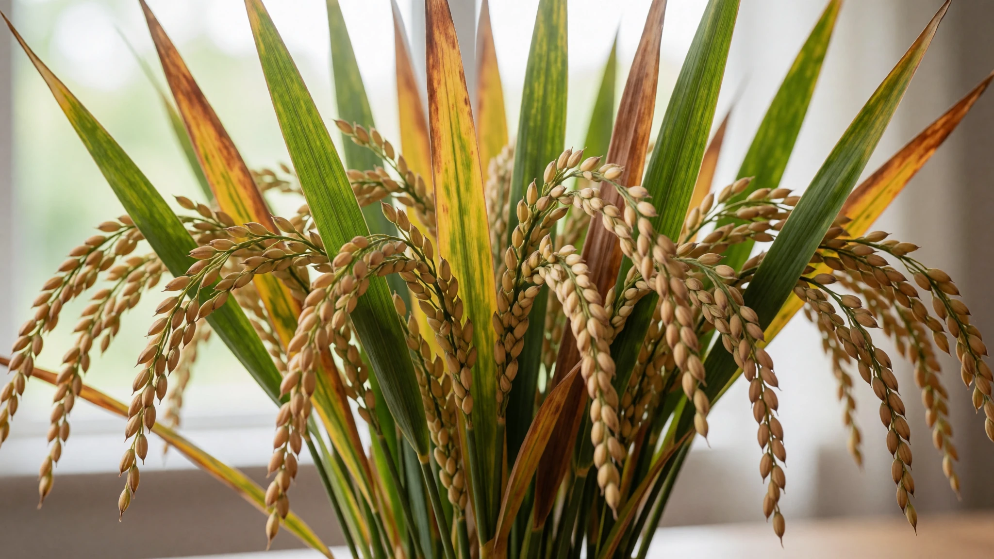
- Ranon'apango, rice water — Homes and any eatery serving meals
Ranon'apango, the water left from cooking rice, is drunk across the island instead of tap water, which is not safe. It has been boiled during cooking, so it is a safer choice when bottled water runs short. Its taste is mild and faintly toasted.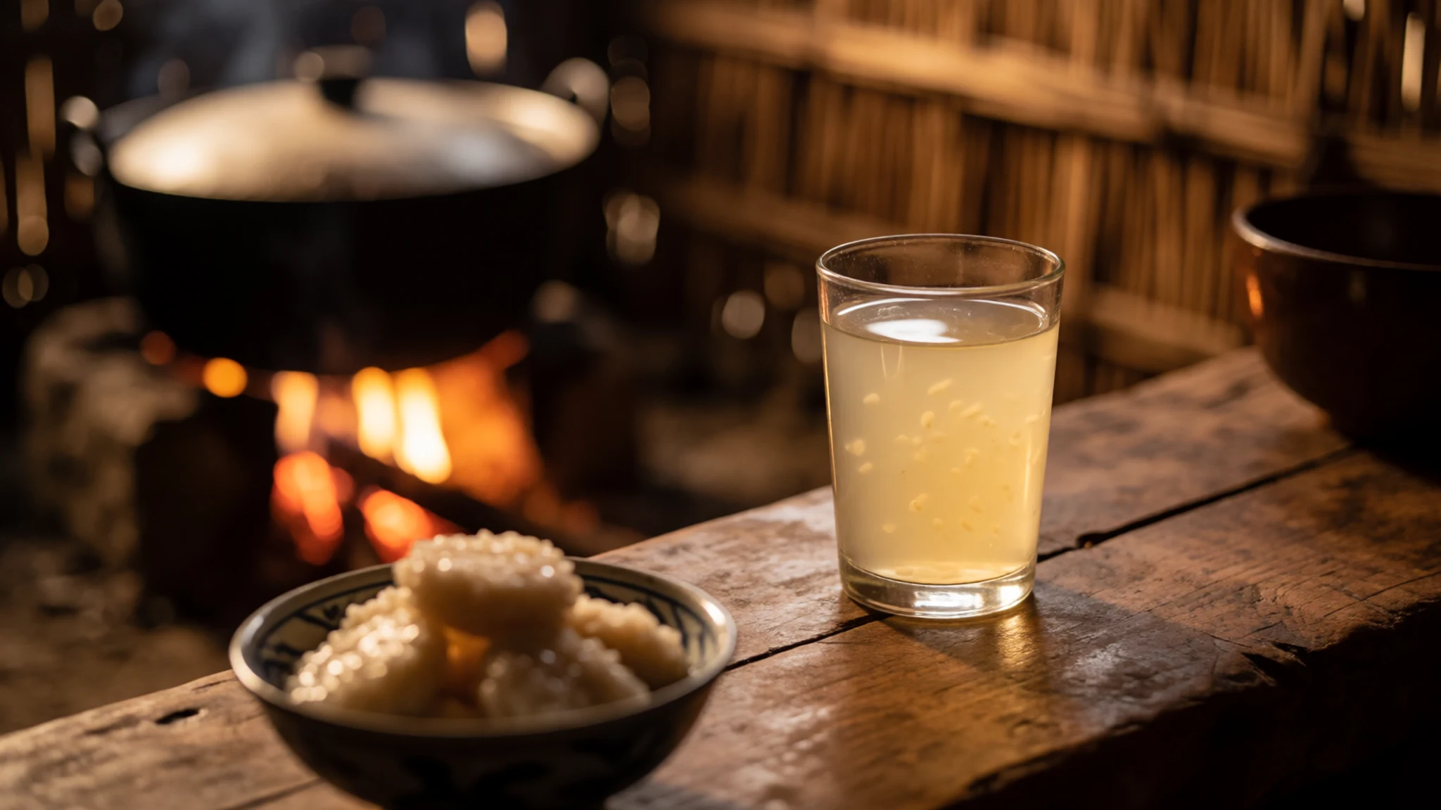
- Bananas and rice cakes — Roadside sellers and markets in any town
Bananas, with hundreds of varieties on the island, and rice cakes, the Malagasy bread, are the staple street food and can be found almost anywhere. Buy them from roadside sellers in the morning, when the cakes are freshest. Carry a few for the drive. - Coffee with condensed milk — Roadside stalls and small cafés along the route
Coffee made by hand one cup at a time and served very sweet with condensed milk is the drink to order at most roadside stalls. It is strong and sugary, a good way to start a long day on the road.
Plan it
Best time. The dry months, roughly May to October, are the usual window: paths are firmer and the rock is less slick. The wet season brings heavy rain, slippery limestone and high river levels, so check conditions locally before you set off.
How long. 2–3
Getting there. Antananarivo (TNR) and Nosy Be (NOS) are the main international airports. From the capital, the last leg is by road or domestic flight, and it is slow, so allow a full day of travel.
Budget. mid
Tips
- Book a licensed local guide in advance, as independent walking on the rock is difficult and the routes change with conditions
- Start walks early, before the rock heats up and the light turns harsh
- Carry bottled water, since tap water is not safe and water sources are scarce on the trails
- Bring enough cash, because card payments are limited outside the main towns
- Wear shoes with a firm grip and ankle support, and check the official site before you go: http://www.tsingy-madagascar.com/leparc.htm
Etiquette
- Greet elders and officials with tompoko before making any request
- Ask before photographing people, and never photograph a tomb without permission
- Respect fady, the local taboos, especially in villages away from the main towns
Nearby
Sources
- Wikidata Q1969107 (CC0)
- Wikipedia: Tsingy de Bemaraha National Park (rev 1362943715) (CC BY-SA 4.0)
- Wikivoyage: Madagascar (rev 5381342) (CC BY-SA 4.0)
- Photo: Tsingy de Bemaraha National Park, Madagascar (Jesse Allen) (Public domain)
- Photo: Bemaraha Tsingy, Madagascar (Rod Waddington) (CC BY-SA 2.0)
- Photo: Big Tsingy, Madagascar (20915441580) (Rod Waddington) (CC BY-SA 2.0)
- Photo: Big Tsingy, Madagascar (23822944469) (Rod Waddington) (CC BY-SA 2.0)
- Photo: Big Tsingy, Madagascar (24082669822) cropped (Rod Waddington) (CC BY-SA 2.0)
- Photo: Big Tsingy, Madagascar (24082669822) (Rod Waddington) (CC BY-SA 2.0)
- Photo: Circuit Andamozavaky, Tsingy de Bemaraha, Madagascar (Cactus0625) (CC BY-SA 4.0)
- Photo: Close up of Little Tsingy, Tsingy de Bemaraha, Madagascar (Gavinevans) (CC BY 3.0)


