Te Wahipounamu
Te Wahipounamu, New Zealand
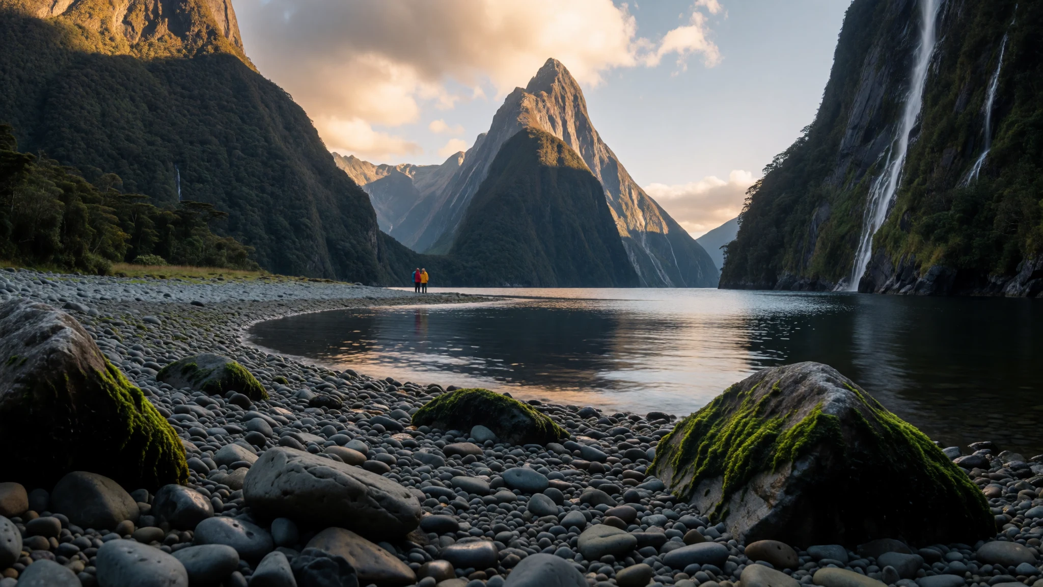
Te Wahipounamu is New Zealand’s wild mountain and fiord wilderness—best done by road and on foot, with nature first and crowds second.
The place
Te Wāhipounamu (“the place of greenstone”) is a UNESCO World Heritage area in the south west corner of New Zealand’s South Island, built around four linked national parks: Aoraki / Mount Cook, Fiordland, Mount Aspiring, and Westland Tai Poutini. On the map it looks like one long slice of coast and mountain country—stretched about 450 kilometres along the western shoreline—and inland in places it reaches roughly 90 kilometres.
What makes Te Wahipounamu feel special is the sheer variety packed into that distance. Coastal scenery turns into hanging valleys, glacial rivers, and snow-capped peaks; lakes sit in basins under steep faces; and the landscape keeps changing as roads wind from sea level up into mountain weather. In Fiordland you get the classic fiord world—deep, dramatic water cut by glaciers—while the West Coast side leans into rainforest, wetlands and misty plains.
Glaciers are a big part of the story here. The area includes hundreds of active glaciers, with the best-known named ice rivers being Franz Josef Glacier and Fox Glacier. Even if glaciers aren’t your main interest, the way they shaped the terrain is visible everywhere: braided valleys, waterfalls, and rugged rock walls.
Expect travel that’s slower and more weather-dependent than a city trip. You’ll also want to plan for logistics—few roads, long drives between viewpoints, and walking conditions that can change quickly. Done well, Te Wahipounamu is nature tourism in its most practical form: scenery, hiking, and time outdoors, with the rest arranged around it.
Its story
Te Wahipounamu has a rhythm that doesn’t really match the “drive, photo, coffee, repeat” style. The region nudges travel in chapters: pick a base, spend time outside, then move on when the weather allows.
Most visits start with Fiordland National Park, where Milford Sound / Piopiotahi is usually the headline. It’s the most accessible fiord experience, and it draws people for a reason—steep walls, water, and that sense of being inside a carved landscape. If Milford is the opener, longer itineraries often add Doubtful Sound, described as the deepest fiord in New Zealand.
Outside the fiords, Te Wahipounamu keeps widening the outdoors options. There are the walking routes people build trips around, from tramping-style challenges like the Milford Track to day-to-multi-day classics such as Lake Te Anau and the Kepler Track, Routeburn Track, Mount Aspiring / Tititea, and glacier-region walks that lean into the West Coast’s scenery.
Along the way, you’ll notice how few main roads serve the region—there are two main corridors, the Haast Highway and Milford Highway, often thought of as “Heritage Highway” routes. Between the drive segments, the visitor centres and short walks matter, because they help you keep your days flexible. When the weather is poor, you’ll spend more time at overlooks, shorter tracks, or nearby town stops; when it clears, you push into the longer viewpoints.
Wildlife and plant life are the long game here. The area is known for representing original Gondwana ecosystems, and you feel that in the mix of alpine vegetation on higher slopes and tall podocarps in warmer rainforests. It’s a place that rewards patience, not rushing.
What to see
- Milford Sound / Piopiotahi
Milford is the go-to fiord stop in Te Wahipounamu because it’s the most well-known and accessible. Plan for changing light and weather along the journey; on calm days the water reflects the surrounding walls, and on misty ones it feels enclosed and moody.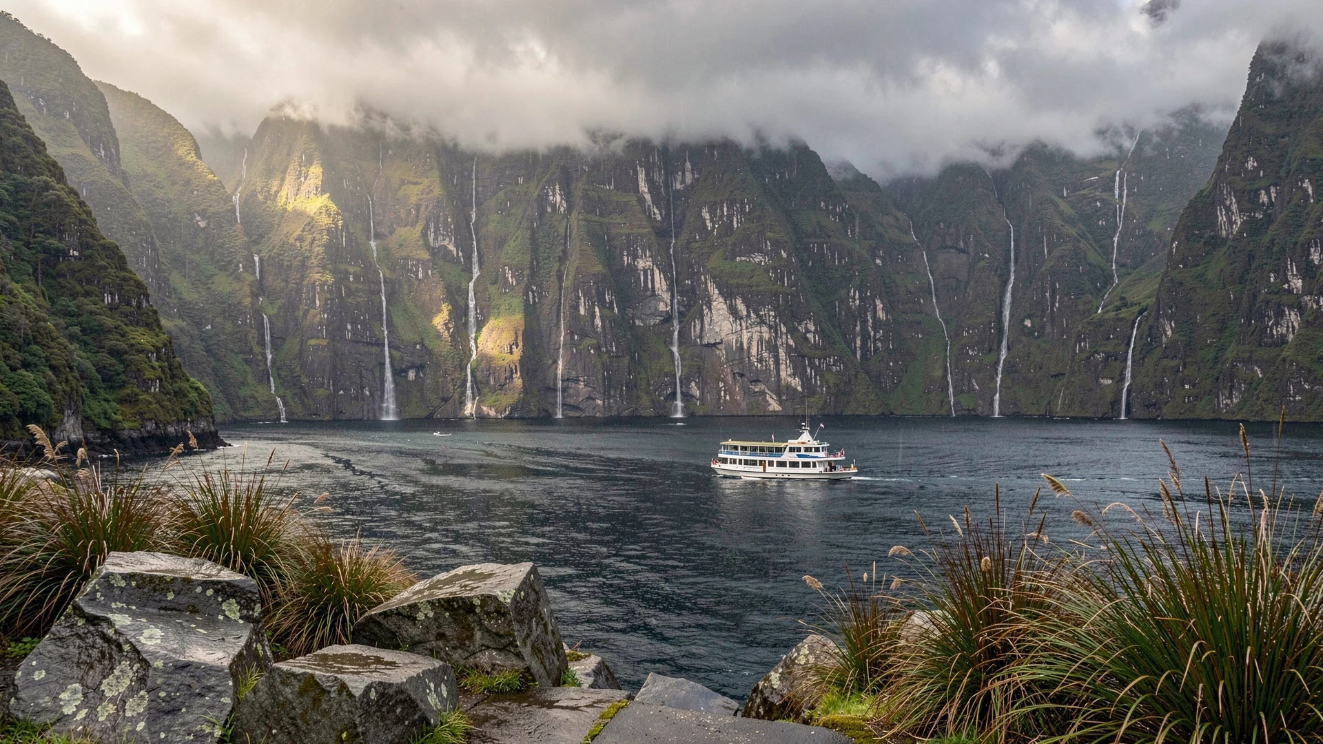
- Fiordland National Park scenery — Fiordland National Park
Te Wahipounamu’s Fiordland landscapes are all steep valleys and glacial shaping. You’ll spot braided glacial river valleys, high rock faces and dense vegetation in the same view—exactly the mix that makes this part of New Zealand feel carved rather than merely “scenic”.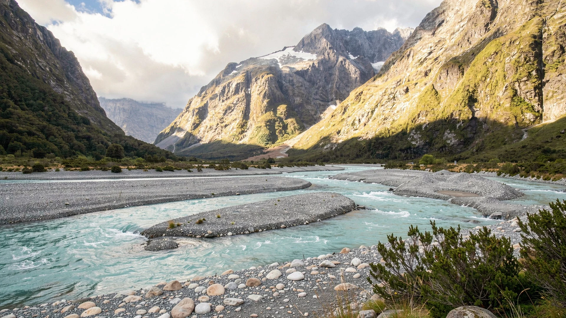
- Franz Josef Glacier & Fox Glacier area — West Coast glacier country
The region includes hundreds of active glaciers, with Franz Josef Glacier and Fox Glacier as the named stars. Even if you don’t get far from viewpoints, the terrain gives the game away: steep ice-carved valleys, cold weather, and sudden cloud shifts.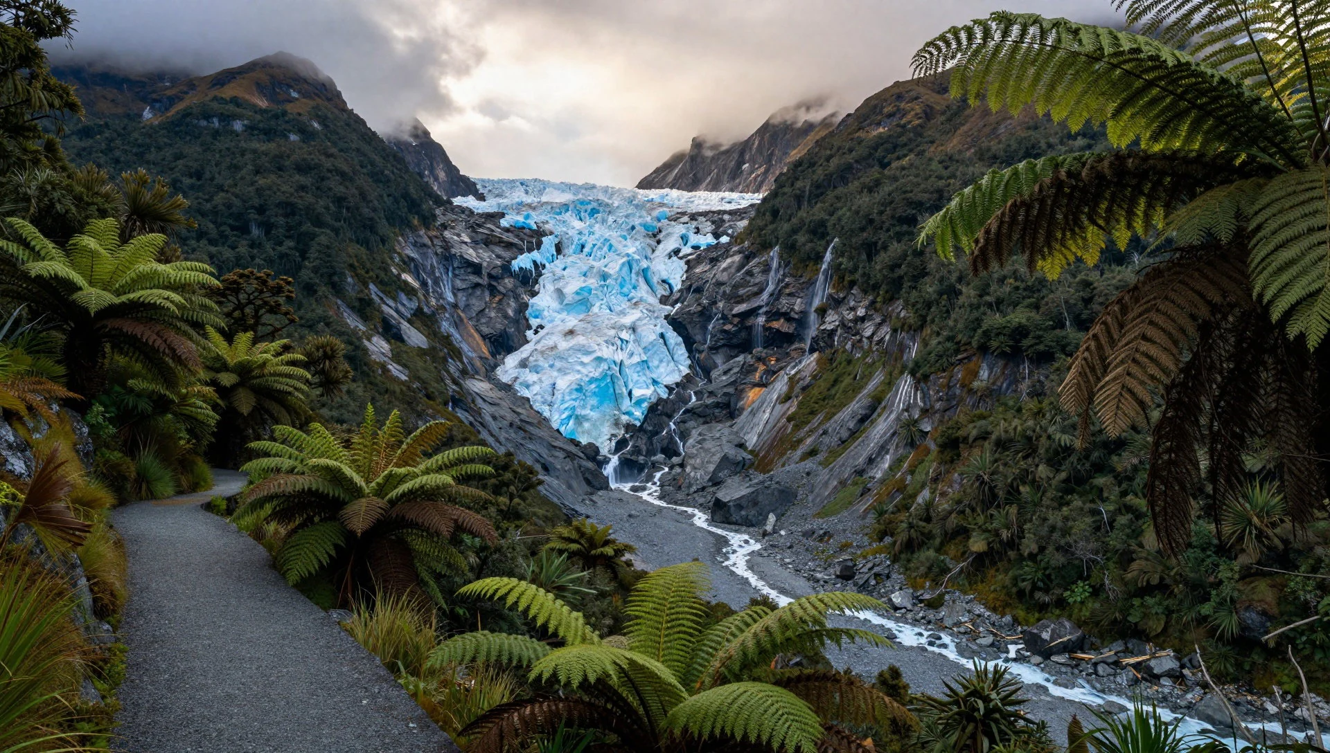
- Aoraki / Mount Cook country — Aoraki / Mount Cook National Park
Aoraki / Mount Cook brings the high-country feel to Te Wahipounamu, with peaks rising from near sea level up to mountain heights. If you’re travelling by road, use the daylight to stop at viewpoints and let the mountains set the pace of the day.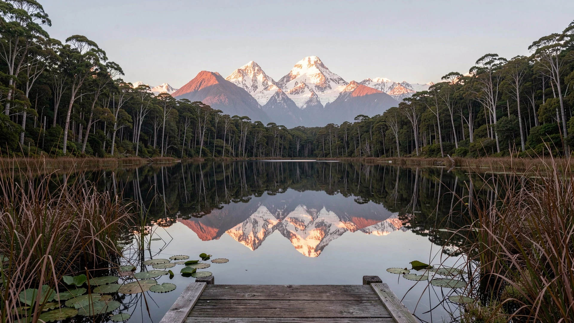
- Westland Tai Poutini coastal plain & lagoons — Westland Tai Poutini National Park
Westland Tai Poutini leans into wetlands and rain, with coastal-plain character like swamps and peat bogs. If you enjoy “quiet nature” walks, this is a good area to slow down—birdlife and vegetation feel close-up rather than staged for photos.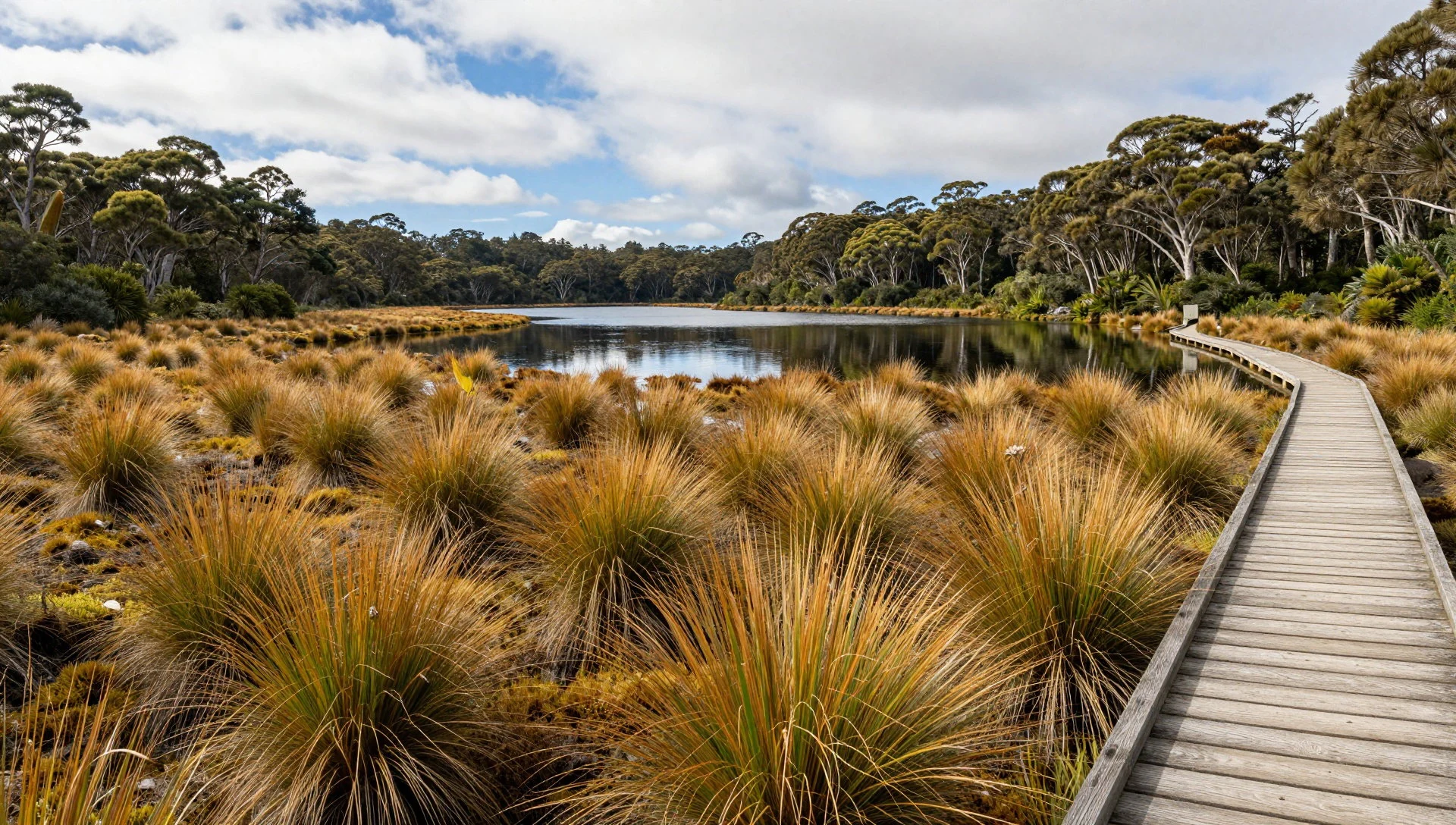
Culture
Te Wahipounamu is a nature-first World Heritage landscape across national parks, so the cultural “how to behave” is mostly about respecting the outdoors and the walk itself. You’re travelling through environments that include alpine areas, rainforests, wetlands and glacial country—places where conditions can change quickly and where animals and plants are the main attraction.
In practical terms, that means slowing down and moving with care on tracks and viewpoints. Keep to marked paths, because vegetation and ground can be easily damaged, especially in wet conditions common to the West Coast and fiord region. If you’re watching wildlife—whether birds in forested areas or animals along coastal edges—give them space and avoid sudden noise.
Getting your timing right helps too. The Milford Sound/fiord corridor and nearby walking routes can feel busy during popular seasons, but the wider region offers plenty of quieter moments if you’re willing to walk a little further from the main access points. Most visitor centres and short walks are there to help you choose safer options when weather turns.
Respect local place names when they appear on signs, and remember Te Wāhipounamu is tied to Māori language—“the place of greenstone”—so it’s worth treating the whole area with the same care you’d give to a living community.
Visitor etiquette: Stay on track surfaces, keep your distance from wildlife, and keep voices low near people and animals.
What to wear
Te Wahipounamu isn’t a “dress up” destination; it’s all about clothing that handles changing weather across mountains, fiords and the West Coast. Traditional Māori clothing isn’t something you’ll see worn day-to-day here, but you may encounter Māori patterns and craft work in visitor centres and local community contexts.
What most visitors wear now is practical outdoors gear: layers, a waterproof jacket, long trousers, and sturdy footwear with grip. On hikes, especially in alpine or glacier-adjacent areas, conditions can feel cold even when the forecast says “mild”. Rain can roll in fast, and wind is common around coastal lookouts and higher terrain.
For a visitor, pack for wet and cool as the default. Choose quick-dry tops and mid-layers, carry a proper waterproof outer, and use a hat or cap for rain and sun breaks. If you’re doing walks ranging from easy to multi-day, comfortable socks matter more than people expect—your feet are what make the trip enjoyable. Sunglasses help in clearer light near the fiords, and a small daypack is useful for layers, water, and snacks.
Footwear should handle damp ground and possible muddy track sections; flip-flops and fashion trainers are usually a false economy here.
What to eat
- Pub meal stops on the drive — Towns and roadhouses along the Haast Highway and Milford Highway
On longer road days across Te Wahipounamu, pub meals and café-style lunches are the reliable option. They’re handy because they keep you flexible when weather changes your hiking plans.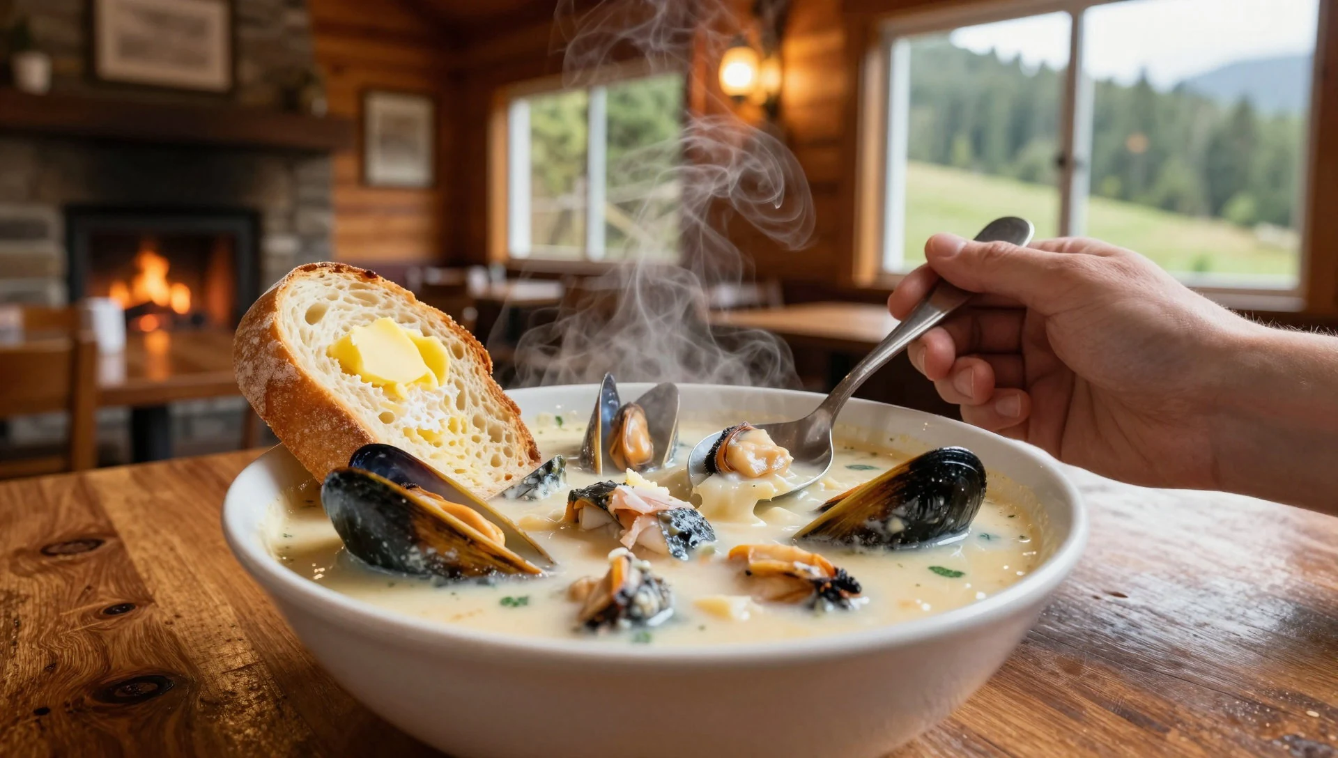
- Market or takeaway lunches in Southland towns — Invercargill and Southland towns en route
In Southland stopovers (often around Riverton and Invercargill routes), you can build simple picnic lunches: sandwiches, warm bakery items, and local drinks. It’s the easiest way to eat well between viewpoints.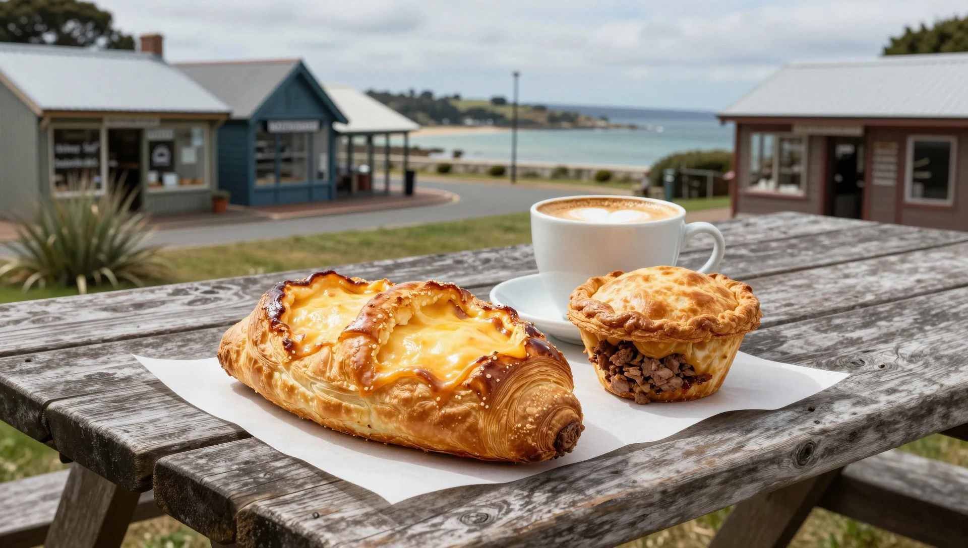
- Fish and chips by the coast — Coastal towns around Riverton and the wider Southland area
Near coastal towns along the route, fish-and-chip-style takeaway is a classic comfort food. Eat it with sea air and you’ll understand why people like this region for slower evenings. - Hot drinks and brunch at cafés — Visitor towns on the main corridors into Fiordland
After morning weather turns, cafés are where the day resets—hot chocolate, coffee, and filling breakfasts. It’s a practical move when fog or rain shifts your timing in the fiord region. - Local seasonal produce dinners — Invercargill and Dunedin-style stopover dining
In the larger towns around the region, dinner menus often lean seasonal and locally sourced, which suits a trip that’s mostly outdoors. Look for meat, vegetables, and hearty sides that work after walking.
Plan it
Best time. June–August are good picks because the weather is more comfortable for walking and driving; summer can be busy and West Coast conditions can still bring rain.
How long. 3–4
Getting there. Fly into Invercargill Airport, then travel by road into Fiordland and nearby routes; alternatively, start with a cruise that visits Fiordland and Stewart Island.
Budget. mid
Tips
- Use Milford Sound / Piopiotahi as the anchor if you’re short on time, then add one walking day nearby
- Build in weather buffers: delays and cancellations happen in fiord country, especially around glacier and mountain sections
- Prioritise early starts for viewpoints so you avoid the day’s busiest arrivals
- Plan around the two main road corridors (Haast Highway and Milford Highway) so you’re not losing time zig-zagging
- If you’re tramping, check that you have the right footwear and layers before you leave town
Etiquette
- Stay on marked tracks and avoid shortcuts—wet ground and native vegetation take longer to recover
- Keep noise down near wildlife and don’t approach animals for a closer photo
- Respect park rules and local guidance at visitor centres, especially when weather turns
Nearby
Sources
- Wikidata Q575398 (CC0)
- Wikipedia (rev 1380692556) (CC BY-SA 4.0)
- Wikivoyage (rev 4903852) (CC BY-SA 4.0)
- Photo photos/01-milfordsound.jpg (Public domain)
- Photo photos/02-milford-sound-nz-16944937040.jpg (CC0 1.0)
- Photo photos/03-fiordland-national-park-part-ii-fiordland9056.jpg (CC0 1.0)
- Photo photos/04-haast-visitor-centre-mrd-02.jpg (CC BY 4.0)
- Photo photos/05-mount-tasman-and-mount-cook-in-evening-sunlight-behind-paddo.jpg (CC BY 3.0)
- Photo photos/06-view-from-alex-knob-over-lake-gault-and-lake-mueller-towards.jpg (Public domain)
- Photo photos/07-westland-national-park-banner.jpg (CC BY 2.5)


