Tayrona National Natural Park
Tayrona National Natural Park, Colombia
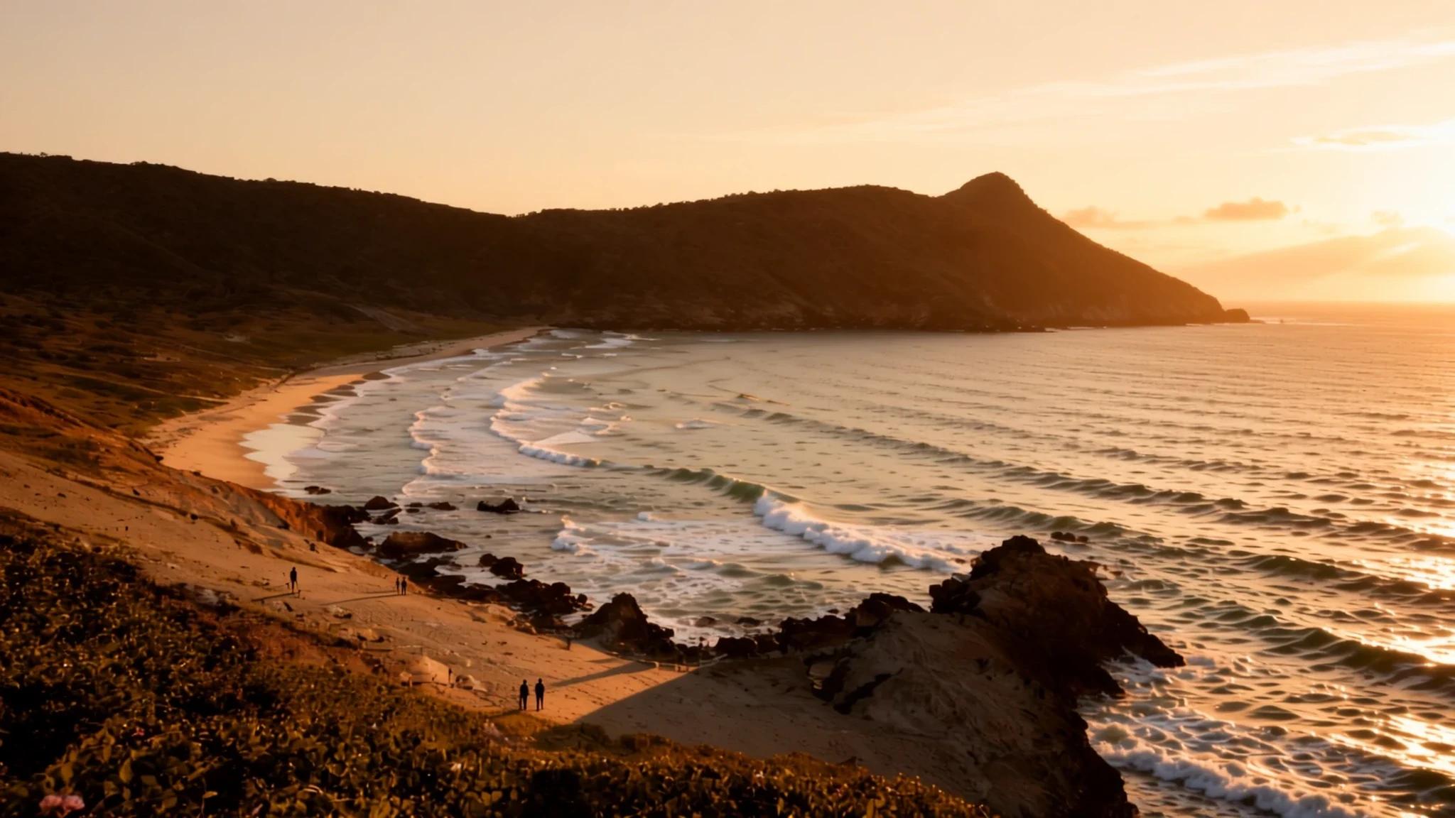
Tayrona is a Caribbean national park where dry forest runs down to sheltered coves and beaches, but it fills up fast in peak season.
The place
Tayrona National Natural Park lies on Colombia's northern Caribbean coast, within the jurisdiction of Santa Marta and a bus ride from the city centre. The park takes in a long stretch of shoreline, a strip of open sea and a large block of land that climbs into the foothills of the Sierra Nevada de Santa Marta. That mountain range has wildlife and plants found nowhere else, and Tayrona carries some of that biodiversity down to the coast. Within a short walk the landscape shifts from hot, dry scrub near the sea to cooler, wetter forest on higher slopes, with the land rising to about 900 metres above sea level.
Most of the activity happens in the east. Nearly all visitors enter through the El Zaíno gate, and from there a trail follows the coastline through tropical dry forest, dropping onto a string of beaches. Arrecifes has rough surf that is not safe for swimming, La Piscina is a sheltered cove, and Cabo San Juan is a pair of beaches split by rocks. Cañaveral is the only point in the park reachable by road, and it has camping, cabins and a restaurant.
The park is a protected reserve with rules, not a resort, so facilities stay basic. Much of the appeal lies in the walk itself, the monkeys in the trees along the route, and the sea. Expect heat, sand in everything and, in busy months, crowds on the best beaches.
Its story
The park's modern life began in 1964, when it was set up under a legal instrument issued through INCORA, the Colombian Institute for Agrarian Reform. The aim was to keep the region's land and ecology intact. Since then the park has been run as a protected natural area rather than a resort, with rules about where people can go and what they can build.
Long before that, the coast and the foothills belonged to the Tayrona, whose settlements stood on the mountain terraces and along the shoreline. Their descendants are among the peoples of the Sierra Nevada today, including the Kogi, Arhuaco, Wiwa and Kankuamo, who still regard the mountains as sacred. The ruins at El Pueblito belong to the same culture as the Lost City of Ciudad Perdida, and that link is the main reason the park draws archaeologists as well as walkers.
The park's wildlife has its own story. The cotton-top tamarin, a small and endangered primate, is found in this part of the country, and signs along the trail explain its status. Visitor numbers have grown over the years, and on busy weekends and holidays the beaches fill quickly. Park management now closes the park for several weeks a year for ecological restoration, which is why the dates matter to anyone planning a visit.
What to see
- El Zaíno gate — Eastern entrance, Santa Marta side
El Zaíno is the main entrance, and nearly all the park's tourist attractions lie east of it, so most visitors pass through here. Buses from Santa Marta stop close by, and you can set off on the coastal trail straight from the gate. Arrive early, because the walk to the beaches takes a good part of the morning with patchy shade. Check the official website for current entry details before you travel.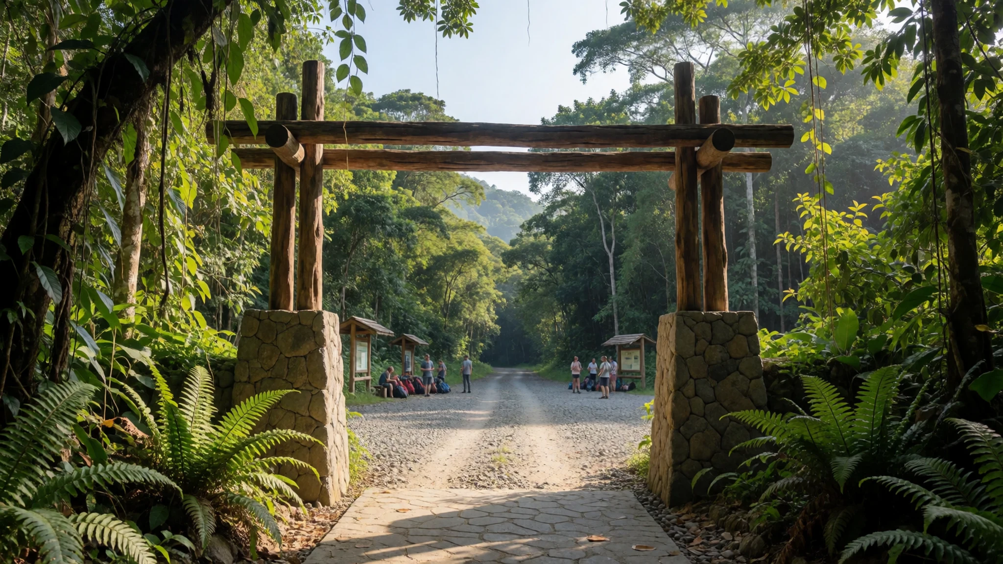
- Cañaveral — Inside the park, on the road from the gate
Cañaveral is the only part of the park reachable by road. A jeep or truck covers the rough track from the entrance, and the settlement has a camping ground, cabins and a restaurant. It suits travellers who want a base near the trail without carrying heavy gear far. From here the beaches are a walk away, so pack water and sun protection.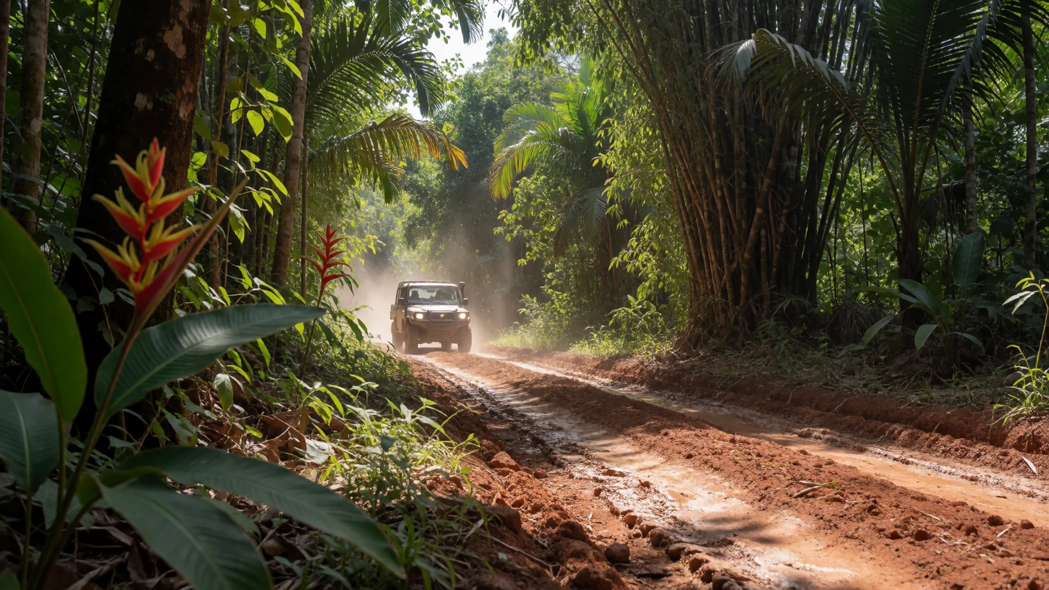
- Arrecifes — Coastal trail, between Cañaveral and La Piscina
Arrecifes has most of the park's budget accommodation, and its beach is wild, with heavy surf and strong currents. Swimming here is not advised, so treat it as a place to walk, sit and watch the waves. The walk from Cañaveral takes most of an hour, and you may see monkeys along the way. Keep valuables dry and close to you.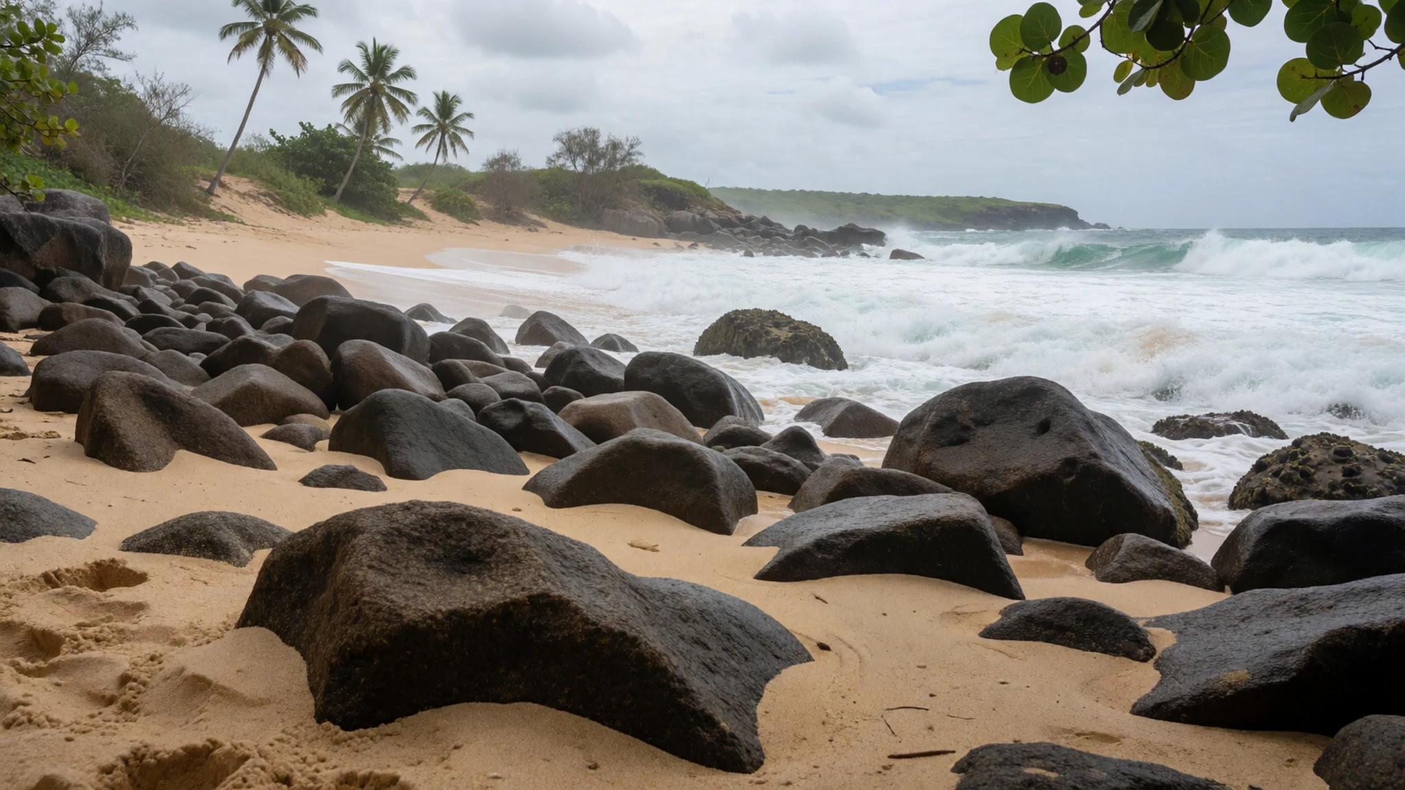
- La Piscina — Sheltered cove on the coastal trail
La Piscina is the safest place to swim along this stretch of coast. A reef in front of the beach forms a natural pool, sheltered enough for a gentle swim and good snorkelling when the water is clear. Simple accommodation is available, and it makes a good place to spend the day. Go in the morning, when visibility is usually best.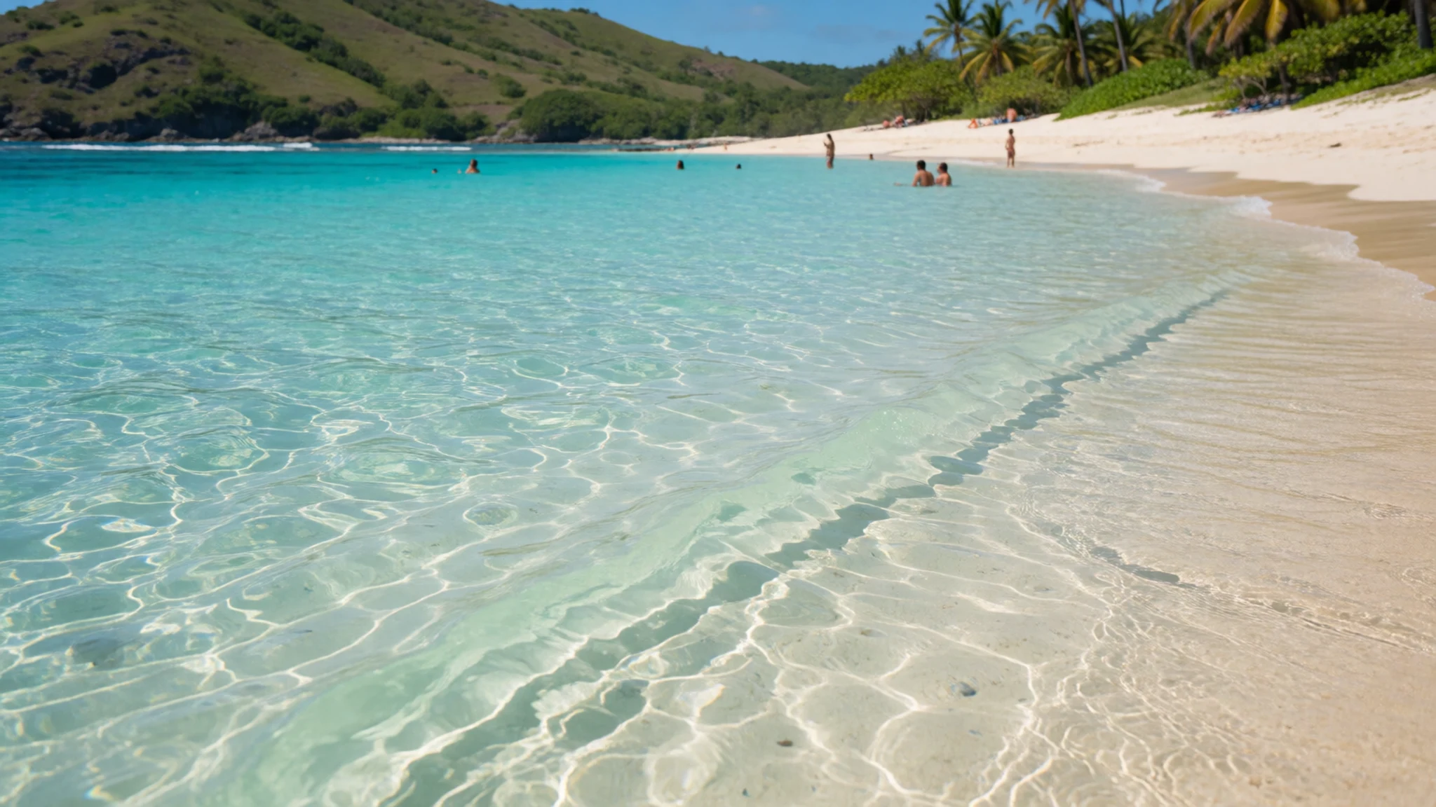
- Cabo San Juan de la Guía — End of the main coastal trail
Cabo San Juan is the park's best-known spot: a pair of beaches split by rocky outcrops, lined with palm-thatched shelters. The large campground has a restaurant serving breakfast, lunch and dinner, and the food is better and more affordable than you might expect. Hammocks are the budget option but sell out, so book well ahead. Boats from Taganga land visitors here directly.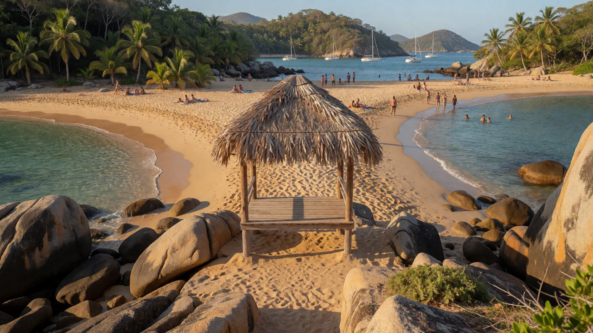
- El Pueblito — Steep separate trail above Cabo San Juan
El Pueblito is a small archaeological site, far smaller than the Lost City, reached by a steep trail of an hour or more uphill from Cabo San Juan. It holds ruins linked to the Tayrona civilisation. Reports say the path has been closed for some time, so ask at the park before you set out and do not plan around it.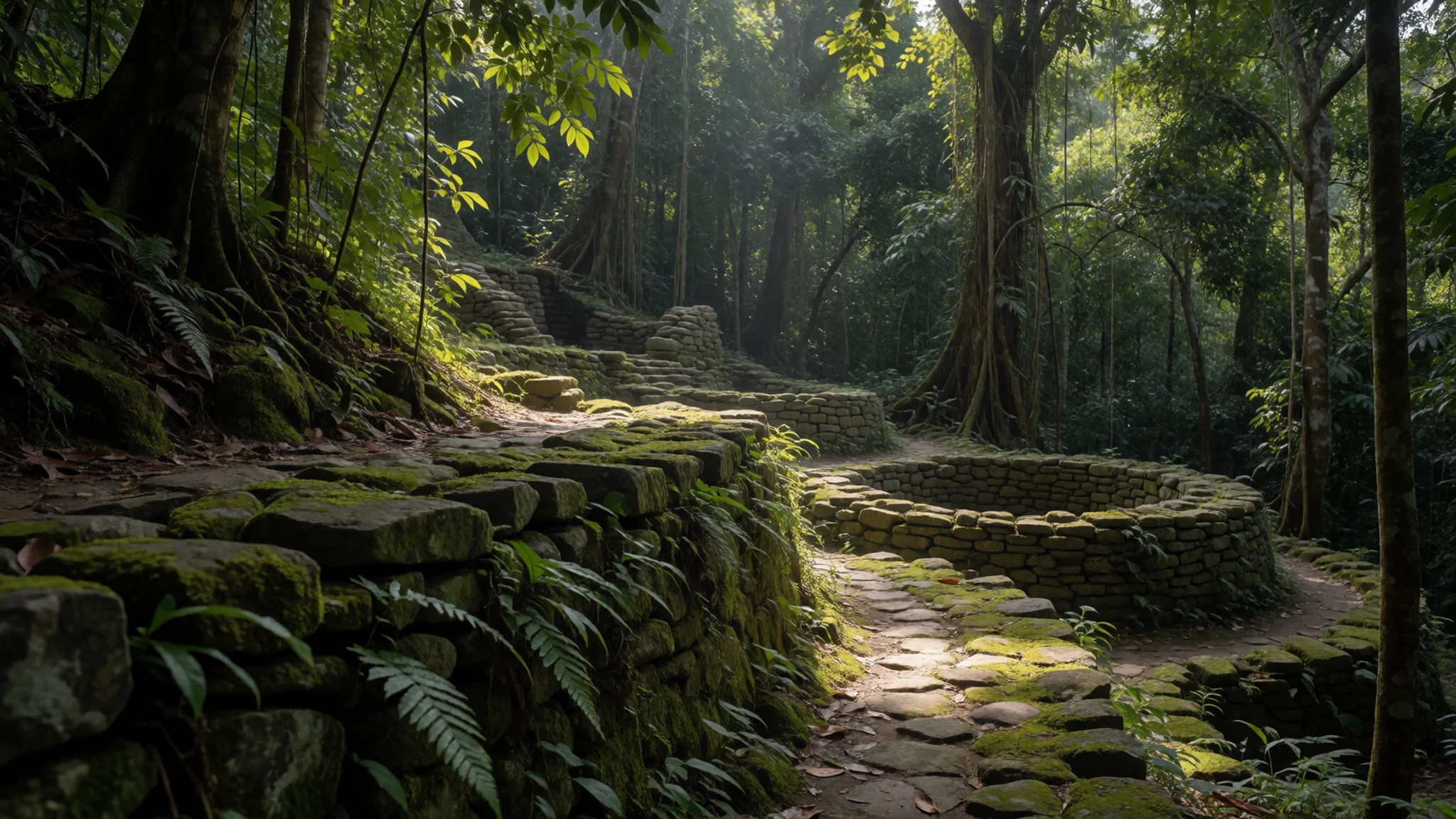
Culture
Tayrona sits within the traditional lands of the Sierra Nevada's indigenous peoples, including the Kogi, Arhuaco, Wiwa and Kankuamo, and many of them regard the mountains as a living sacred place. Visitors share the coast with local families, guides and vendors, and the park is run as a conservation area first. Expect a quiet, shared approach rather than resort culture: keep music to headphones, and remember the beaches are workplaces for people who live nearby.
Ecological rules shape daily life in the park. Staff encourage visitors to stay on marked trails, because the dry forest and dunes are fragile and the endangered tamarins and other wildlife depend on undisturbed cover. Rubbish is carried out, not buried or burnt. Food should never be left unattended, since monkeys learn quickly to open bags.
Social norms matter too. Cover up when walking into villages, and greet people before asking for anything, such as directions or a photograph. Many people in the region prefer not to be photographed, so accept a refusal gracefully and never photograph anyone in a village without asking first.
What to wear
The traditional dress of the Sierra Nevada's indigenous peoples is the most distinctive textile tradition linked to the area. Kogi and Arhuaco men and women have long worn white cotton garments, often hand-spun and woven, and carry the mochila, a hand-woven shoulder bag whose patterns can identify a community. Textiles carry meaning in these communities, and the clothing is worn for ceremony and daily life alike.
People in the coastal villages and around the park now dress much as people do elsewhere in Colombia: T-shirts, shorts, jeans in the cooler hours, and plastic sandals or sneakers. Swimwear is for the water and the beach, not for walking through villages, where people tend to dress more modestly.
For your own clothing, choose light, breathable cotton or quick-drying fabric, which copes with heat and sweat on the trail. Closed-toe shoes with grip matter more than style, since the path crosses rock, sand, roots and steps, and sandals alone are risky on the longer walks. Pack a hat, sunscreen, a light rain layer and a cover-up for villages, and carry a dry bag for your belongings.
What to eat
- Tropical fish plate — Beach restaurants at Arrecifes, El Cabo and La Piscina
Seafood is the staple at the beach restaurants, and a typical plate is a whole tropical fish with rice and a simple salad. It is usually served with fried plantain. Prices run higher than in Colombian towns because ingredients have to be carried in by boat or on foot, so the meal costs more than the same plate in Santa Marta. Order early at lunchtime, because the kitchen may run out of the fish you want.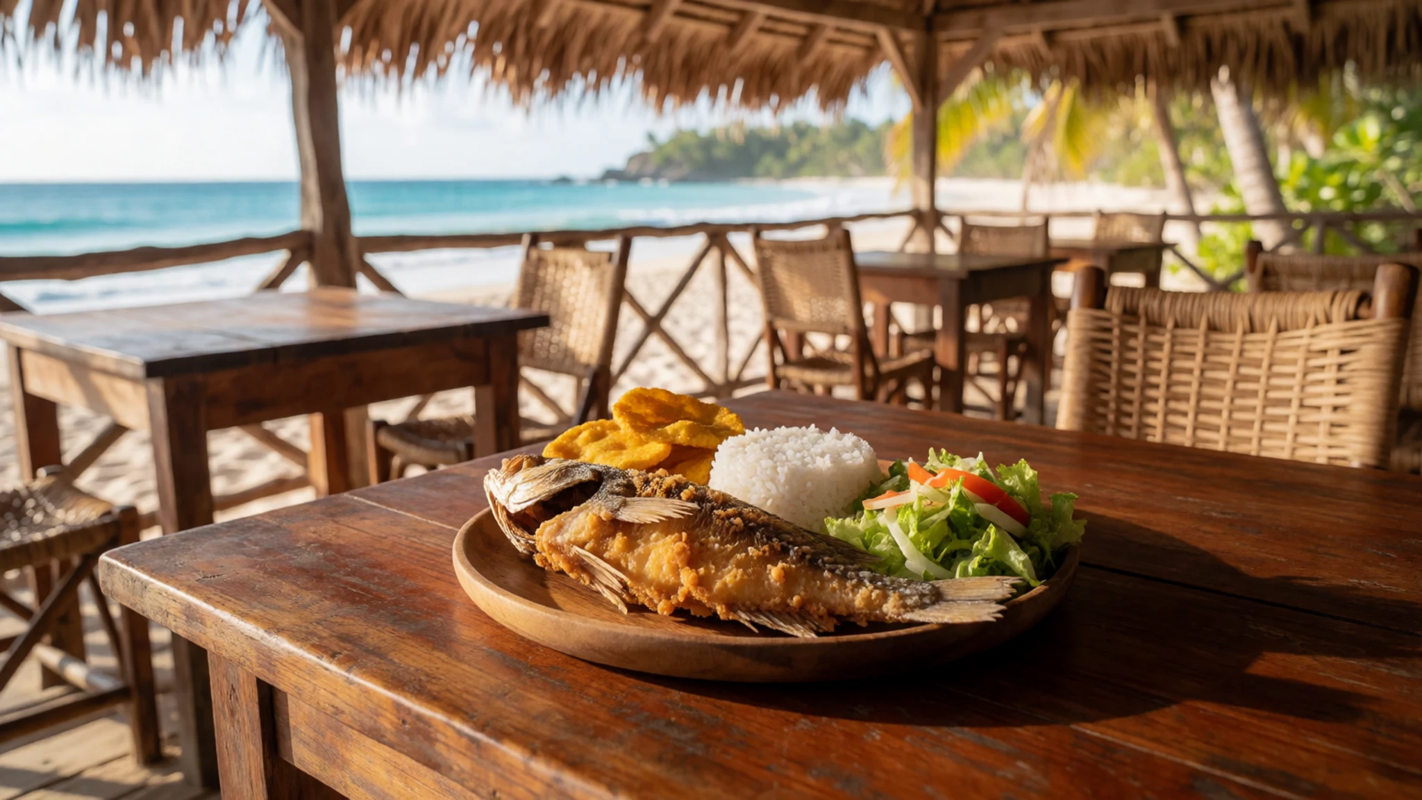
- Patacones — Any beach restaurant with a seafood menu
Plantains are cut, fried, flattened into small pancakes and fried again. They are firmer and less sweet than a banana, with a neutral, potato-like flavour. They come alongside seafood or on their own as a snack, and you will find them on almost every seafood menu in the park.
- Scrambled-egg breakfast — Local restaurants at Arrecifes, El Cabo and La Piscina
Breakfast at the local restaurants is usually built around scrambled eggs, served with bread or fried potatoes. It is the simplest way to fuel an early start on the trail. Popular items can run out later in the day, so eat before you set off rather than relying on a late order. - Steak and grilled chicken — Beach restaurants at Cabo San Juan
Steak and chicken, served with chips (papas fritas), are a dependable choice for anyone who does not want fish. Pasta also appears on many menus. These plates are a sensible fallback after a long walk, when the seafood kitchen is busy. - Bakery bread — The bakery on the trail between La Piscina and Arrecifes
A small bakery sits on the trail between La Piscina and Arrecifes. Fresh bread and pastries bought here make a good lunch or snack for the walk. Buy early in the day, since the stock goes quickly once walkers start passing.
Plan it
Best time. The dry season, roughly December to April, suits the coastal walk best, with less rain on the trail and calmer water for swimming at La Piscina. The wetter months bring mud, heavier rain and rougher surf, so check local conditions before you go.
How long. 2–3
Getting there. Fly into Santa Marta's Simón Bolívar International Airport, then take a taxi or a local bus from the city centre to the park entrance; the bus ride takes about an hour. From the entrance, walk or share a van to Cañaveral, then allow most of an hour on foot to Arrecifes. Alternatively, take the morning boat from Taganga, which drops you straight at El Cabo San Juan.
Budget. mid
Tips
- Book hammocks and cabins at Cabo San Juan well ahead, as the budget places sell out
- Walk the coastal trail early, before the heat builds
- Check the official website for closure dates, since the park shuts for several weeks a year
- Carry cash for small purchases, plus water and sun protection
- Pack valuables in plastic bags for the boat ride, which can be rough and wet
Etiquette
- Keep to marked trails and take all your rubbish out
- Do not feed or approach the monkeys
- Ask before photographing people, especially in villages
Nearby
Sources
- Wikidata Q1225209 (CC0)
- Wikipedia: Tayrona National Natural Park (rev 1362940641) (CC BY-SA 4.0)
- Wikivoyage: Tayrona National Park (rev 5285836) (CC BY-SA 4.0)
- Ensenadas en el Parque nacional natural Tayrona, Pedro Felipe (CC BY-SA 4.0)
- Arrecifes beach, Ben Bowes (CC BY 2.5)
- Playa Brava o Siete Olas, Juan Pablo (CC BY 3.0)
- Cabo San Juan in Tayrona National Park, David Shankbone (CC BY 3.0)
- Monkey in tayrona, Lunaloop (CC BY-SA 4.0)
- Cotton-top tamarin extinction sign, David Shankbone (CC BY 3.0)
- Hiking through Tayrona National Park, David Shankbone (CC BY 3.0)
- Hiking through Tayrona National Park, foliage, David Shankbone (CC BY 3.0)


