Tasmanian Wilderness
Tasmanian Wilderness, Australia
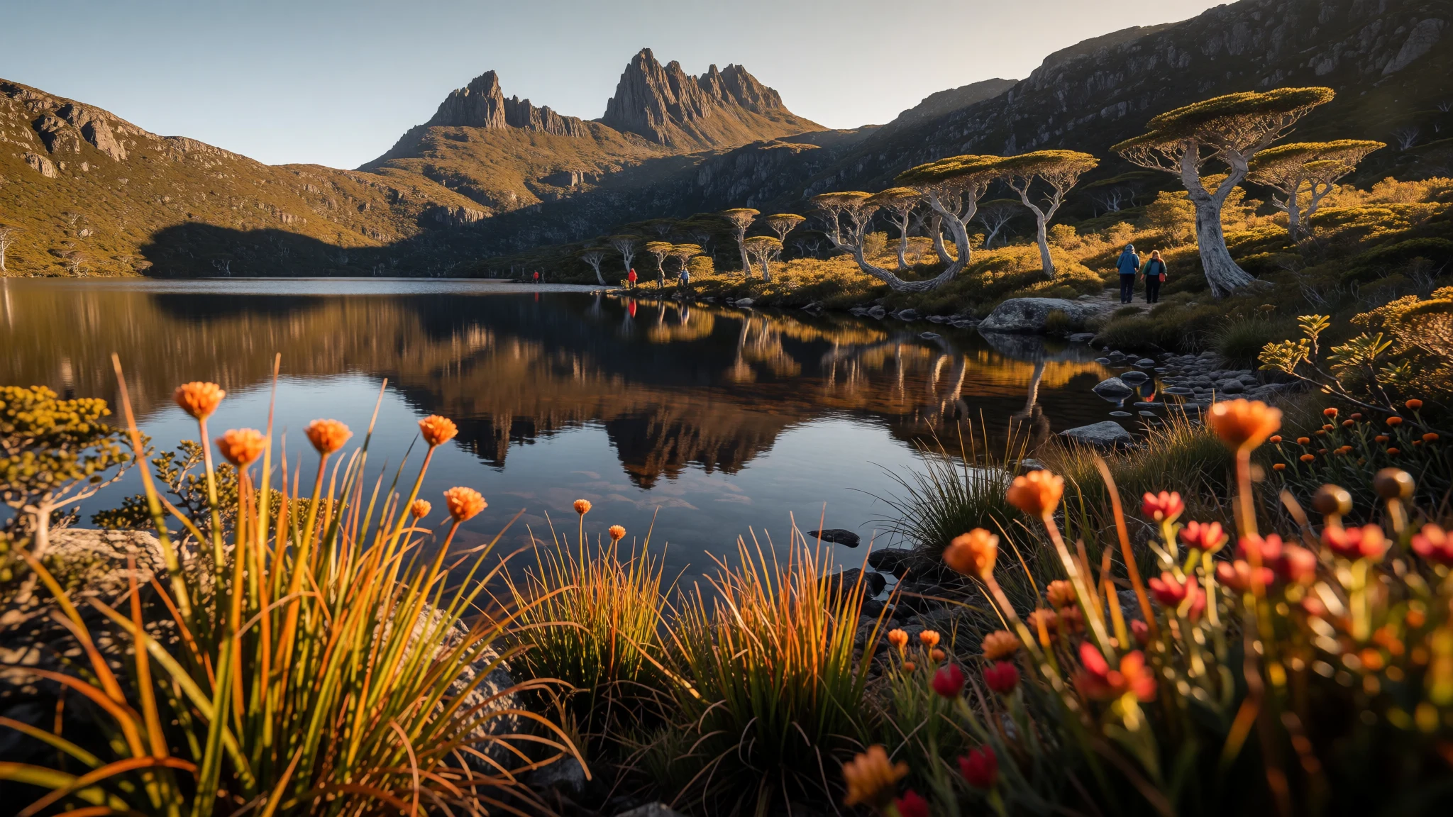
Tasmanian Wilderness is wet, remote temperate country—ideal for multi-day walks, rafting and climbing in landscapes that feel truly wild.
The place
Tasmanian Wilderness World Heritage Area (TWWHA) sits across southern and western Tasmania as a vast network of parks and reserves. It’s a place where development fades quickly, with only small areas at the edges, and the centre remains largely uninhabited. The terrain does the talking: steep gorges, rugged country shaped by past glaciation, and forests that keep a damp, cool rhythm even when the rest of Australia is doing something else.
The whole region is built for moving—bushwalking is the headline activity, but there’s also scope for whitewater rafting and climbing where conditions and access allow. Because it’s so large—covering 15,800 km²—it can feel both lonely and varied. Some days are all buttoned-up forest and moss, other stretches open to plateau views and water that looks impossibly clean.
If the idea of “wilderness” sounds a bit romantic, that’s fair, but the reality includes weather. The area has an oceanic climate, with cool temperatures and rain spread through the year—warmest in January, coolest in July, and wettest in August—so expect cold, drizzly conditions through winter and cooler, drier spells in summer. On top of that, altitude and exposure can make temperatures feel sharper than you expect.
Tourism is the main industry, but much of the remoteness is exactly what limits development and keeps the atmosphere wild. Expect crowds mostly around the most accessible trailheads and popular viewpoints; go further and the feeling changes to something quieter and more contemplative—still with wind, rain gear and good footwear doing most of the work.
Its story
Tasmanian Wilderness World Heritage Area began as a protection idea for a landscape that has been shaped by long, deep time and long, deep human presence. Before modern management, the area was carved by severe glaciation, leaving the kind of rugged topography that makes routes feel more like journeys than “go here, then there”. Humans have been here far longer than you might think: evidence dating back more than 20,000 years has been found in limestone caves, and Aboriginal Tasmanians lived in the region for thousands of years, leaving behind middens and artworks.
That long continuity matters because the region’s listing wasn’t only about geology and scenery. Indigenous connection and the way burning practices influenced ecology are part of why the area qualified for World Heritage status. In the twentieth century, protection also collided with policy arguments around land use. The World Heritage listing was first placed on the list in 1982 and then expanded later as authorities responded to changing recommendations and decisions.
Even after the status was secured, the area stayed politically relevant. Proposals to change protection and allow logging were met with pushback, and UNESCO reports also weighed into the debate. Over the years, management plans were put in place and updated as authorities tried to balance conservation goals with practical governance.
Today, the story you feel on the ground is not “history in a museum” but history in the land: glacial valleys, dense forest, remote waterlines, and that ongoing tension between use and preservation—plus the very real fact that, inside this vast conservation area, the most persistent activity is still walking.
What to see
- Cradle Mountain — Cradle Mountain area
Cradle Mountain is the kind of Tasmanian landmark that turns a misty morning into a scene. Look for angles where the mountain sits above dark forest, then give yourself time for the clouds to shift—conditions can change fast.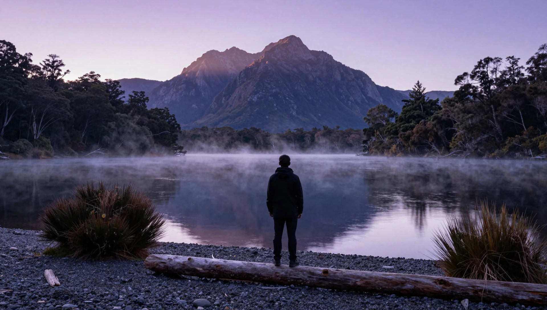
- Lake Judd views from Mt Eliza — Southwest National Park
From Mt Eliza, Lake Judd reads like a quiet counterpoint to the mountains—cool tones, forest edges and still water. It’s a scenic, viewpoint-style stop, but weather can dampen visibility so plan for layers and slow breaks.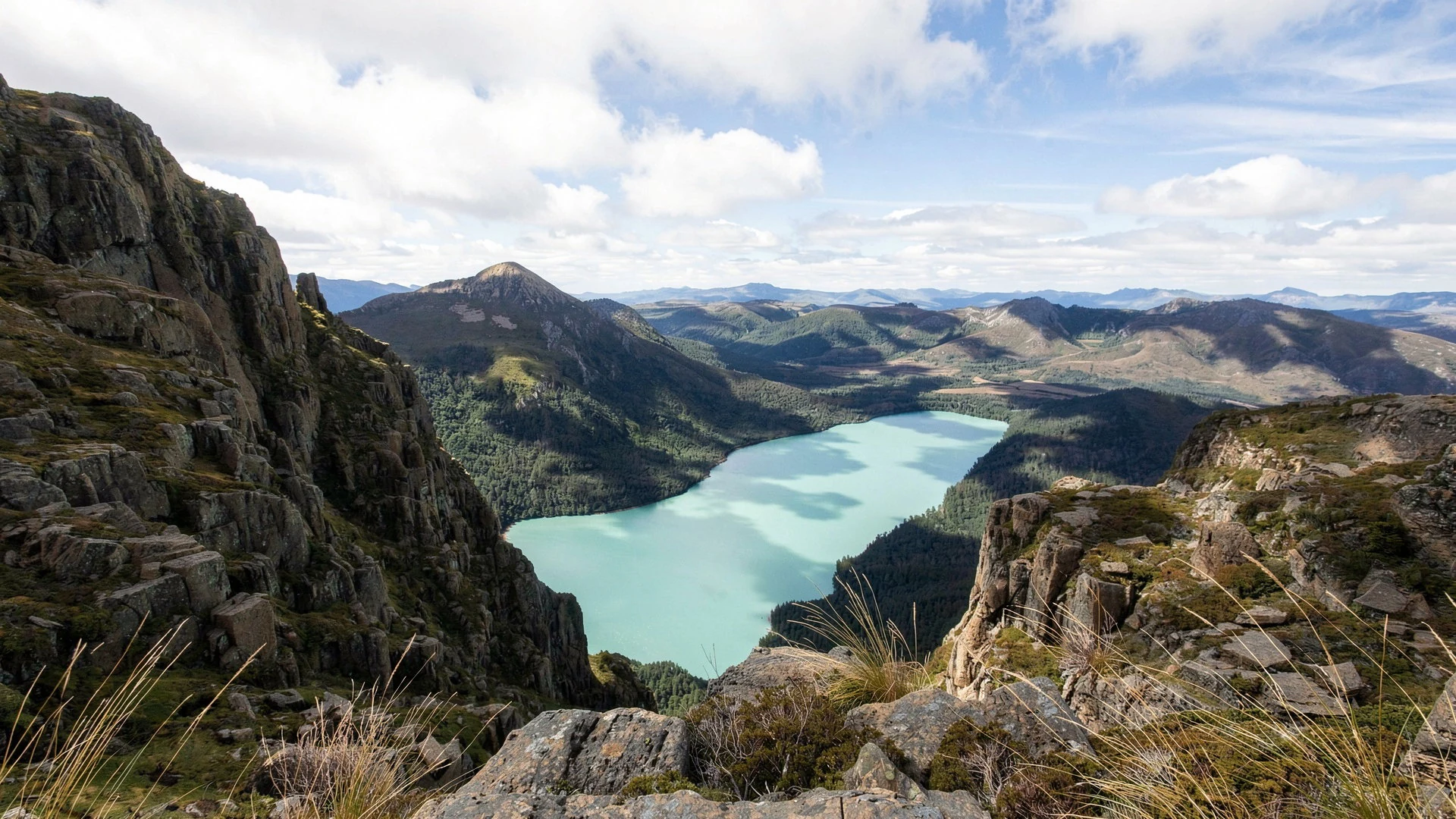
- Dry sclerophyll forest — Tasmanian Wilderness high-country margins
Dry sclerophyll forest shows up where the vegetation is adapted to a drier rhythm in an otherwise wet landscape. Walking through it feels different from rainforest patches: the light and the texture of the understory shift.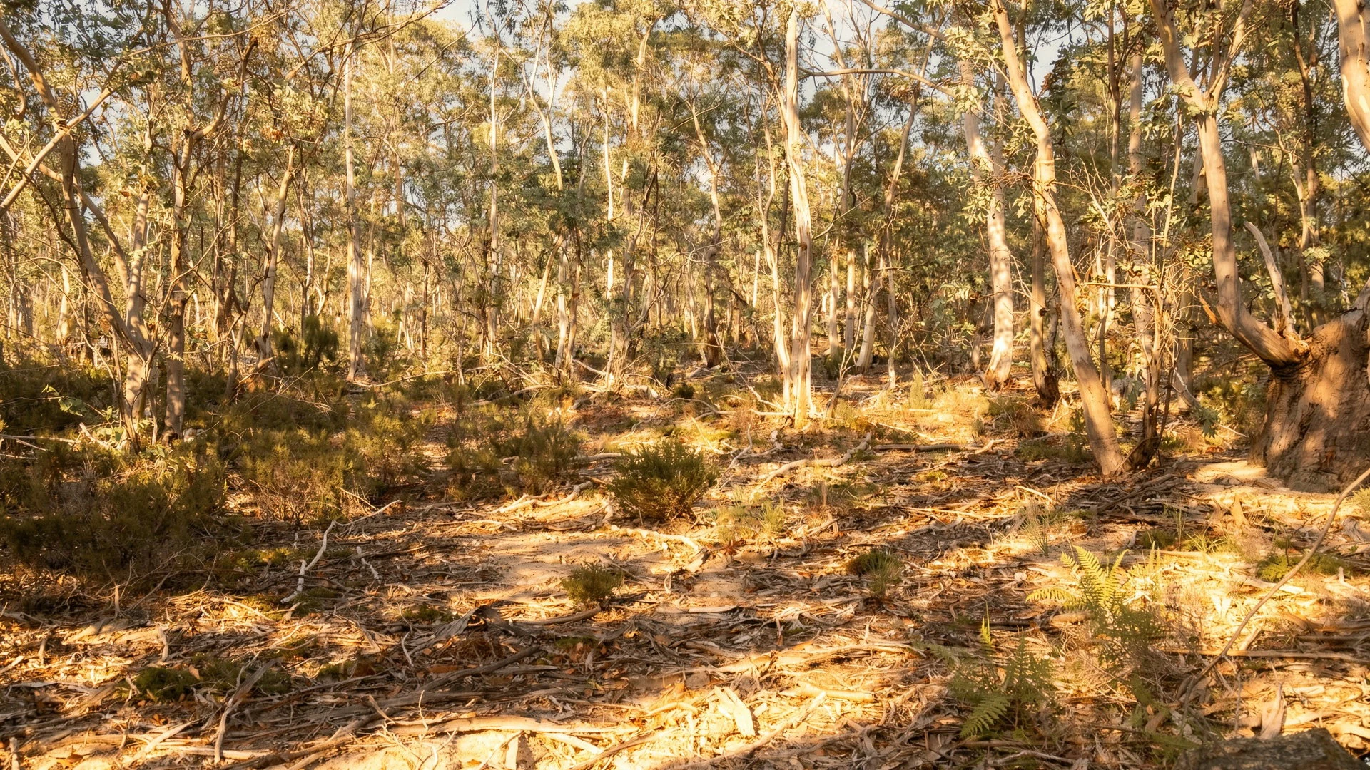
- Young Huon pine near Clayton’s Corner — Southwest National Park
A young Huon pine (Lagarostrobos franklinii) near Clayton’s Corner is a reminder of how specific and slow-growing Tasmania’s old-soil ecosystems can be. Stay observant—small details are the point here.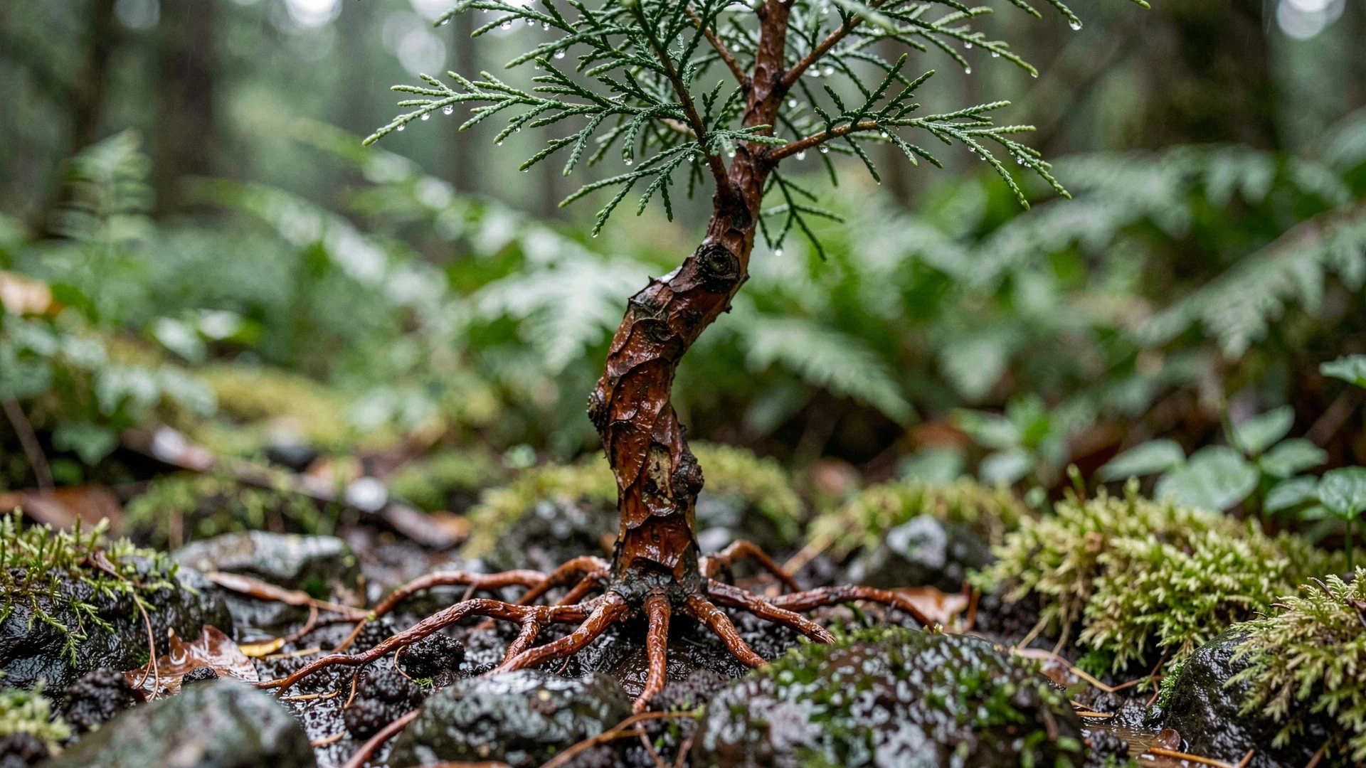
- Port Davey cultural history (Towtrer) — Port Davey region
Around Port Davey, the story of Aboriginal connection is tied to place, not just dates. A historic portrait of Towtrer (Chief of the Port Davey tribe) helps frame why the area’s World Heritage value includes living cultural significance.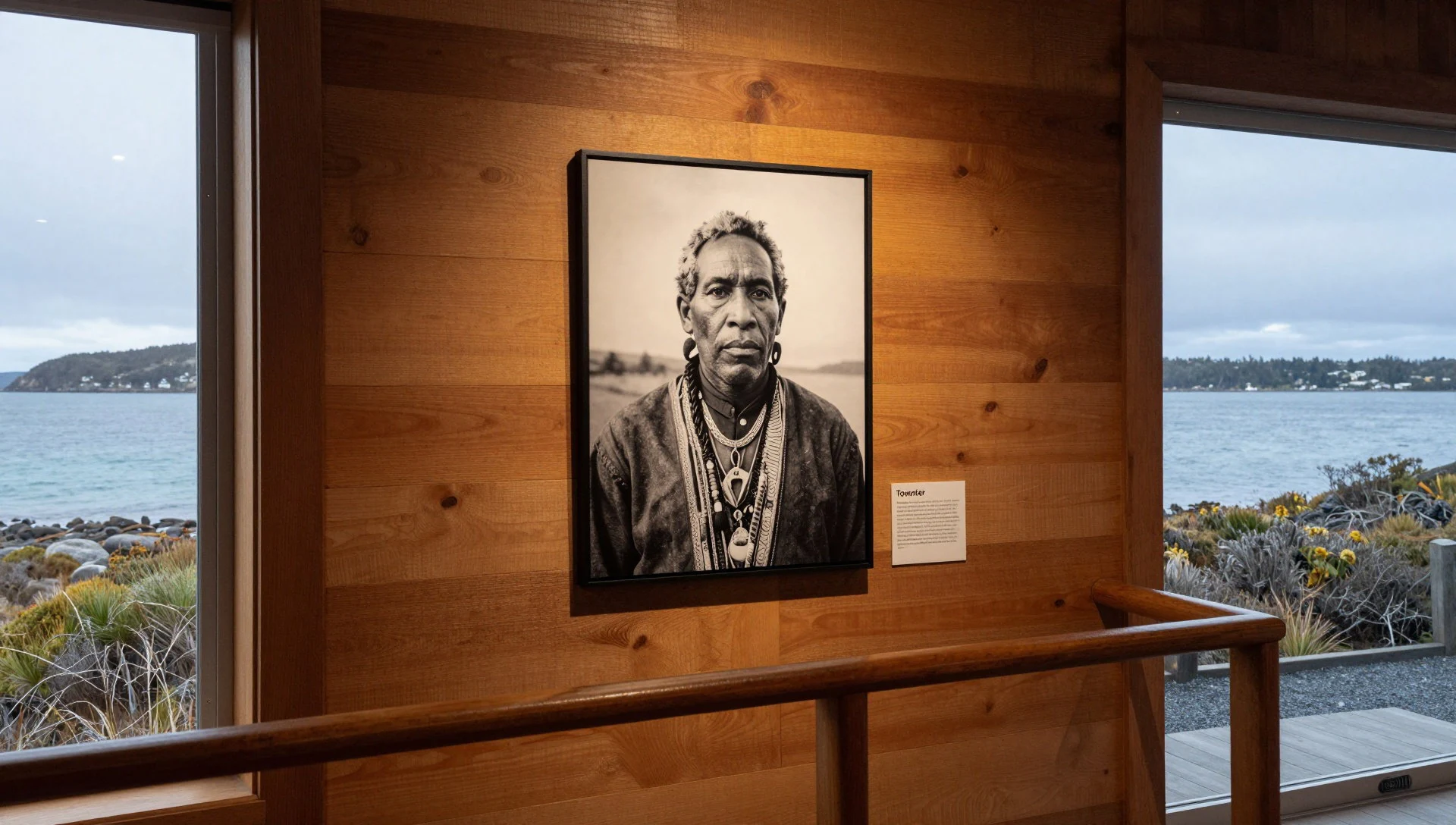
Culture
Tasmanian Wilderness is a World Heritage Area, but in practice it’s mostly experienced as working conservation country: wildlife habitats, long-term ecological processes, and careful human movement through remote terrain. The area’s cultural layer is real too. Aboriginal Tasmanians have used parts of this landscape for millennia, and their influence shows up in how local ecology was shaped over time. Even though there is no permanent habitation across the wider interior, some places hold importance for the present-day Aboriginal Tasmanian community, and that connection is part of why the area was recognised.
For visitors, the “culture” is also the ethic of not treating a vast conservation area as a theme park. Many routes depend on your planning—weather, visibility, and ground conditions—and there’s a strong practical value in respecting track boundaries and water sources. In short: stay aware that you’re moving through someone else’s homeland and someone else’s protected ecosystem.
Visitor etiquette: keep to marked tracks, respect Aboriginal cultural significance of places, and take all rubbish out to protect a wilderness that stays wild by being left alone.
What to wear
Tasmanian Wilderness doesn’t have one specific “traditional dress” in the visitor sense, because the region’s identity is more about landscapes and communities than a single garment you’ll see on the trail. Still, clothing here is about adaptation: textiles that handle cool, wet weather are the real uniform. The climate tends toward cool, drizzly winters and cooler, drier summers, so lightweight waterproof layers beat a single thick coat.
What people actually wear now is usually practical: hiking trousers or quick-dry leggings, thermal base layers on cooler days, and a waterproof jacket with a hood. On exposed viewpoints, a warm mid-layer helps even in summer.
For visitors, aim for a layering system: moisture-wicking tops, an insulating layer, and properly waterproof outerwear; bring gloves or a beanie for drizzly mornings. Choose footwear with grip for muddy sections and uneven ground, and consider gaiters if you’re the sort who hates wet socks. If you stop at any culturally sensitive locations, keep clothing modest and avoid anything loud or disruptive—this is a place where the quiet matters.
What to eat
- Warm pub-style meals — Nearby towns on the Tasmanian Wilderness edge
After a long day outside, most travellers end up eating comfort food—something hearty with roast vegetables, soups or stews. Look for restaurant meals in gateway towns around the World Heritage area.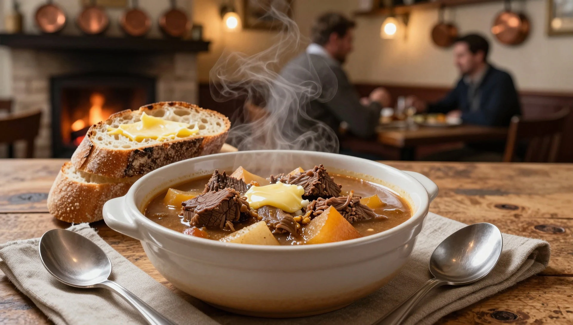
- BBQ and grill basics — Local eateries in gateway communities
Casual evening food often means simple grill options: burgers, sausages, grilled chicken and salad. It’s easy to share and keeps you fuelled for early starts.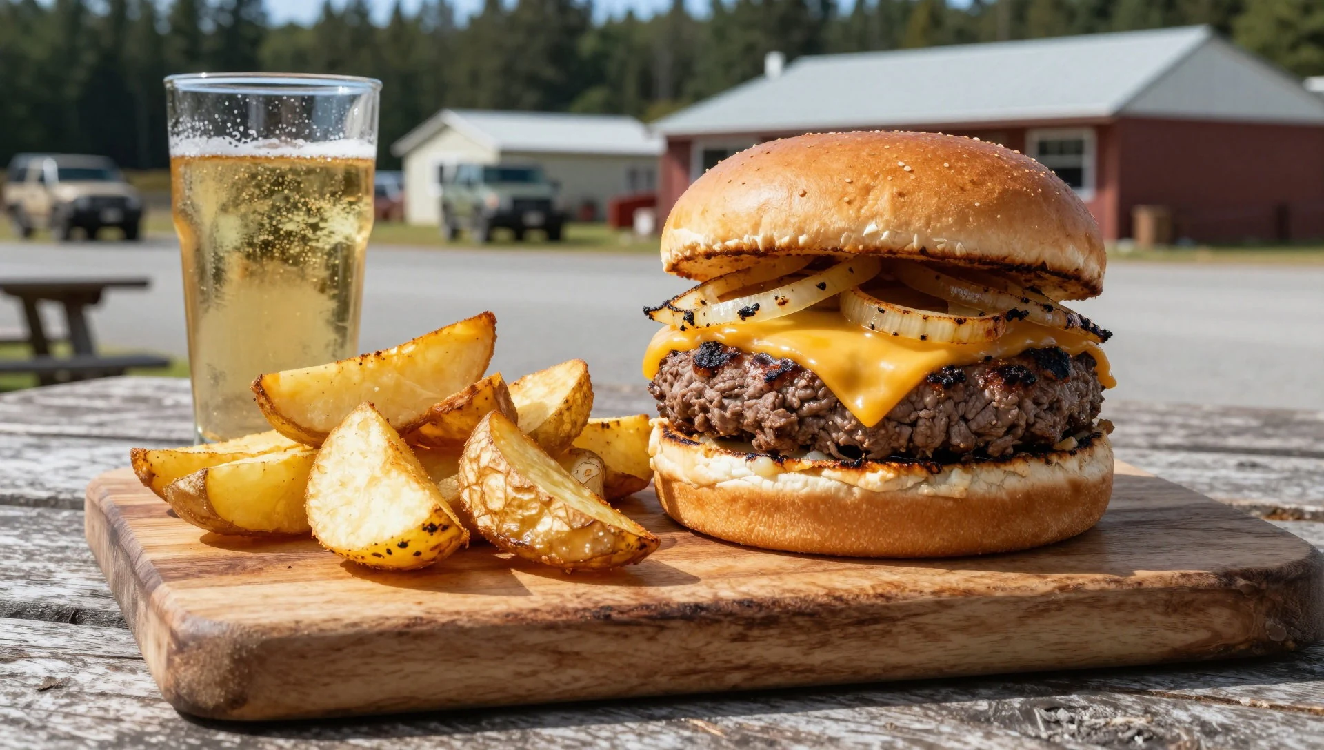
- Trail snacks and packed lunches — Supermarkets and convenience stores near the start points
A “do it yourself” day is common: sandwiches, wraps, fruit and energy snacks you can carry without fuss. Stock up before you head into remote walks. - Coffee and cake stops — Cafés in larger towns before hikes
When weather turns, a warm café stop is a lifesaver. Order coffee, tea and something sweet, then regroup—checking sky conditions and map notes. - Local produce platters — Restaurants and small eateries around the region’s margins
Tasmanian menus often lean into local produce: cheeses, cured meats, seasonal salads and bread. It’s a relaxed way to eat without overthinking it.
Plan it
Best time. January–February and December are generally the most comfortable for being outdoors, since they’re the warmest months; rain falls through the year, with the wettest period in August. Even in summer, expect cool, changeable weather, and in winter it turns colder and often drizzly.
How long. 3–4
Getting there. Fly into Hobart, then drive as far as access allows and use local transport or shuttles for trailheads (final legs depend on which routes you choose within the conservation area).
Budget. mid
Tips
- Start early on any day with popular viewpoints—conditions can be clearer in the morning and trails feel calmer
- Pack waterproofs and a warm layer even in shoulder seasons; drizzly weather is part of the landscape
- Bring enough water and snacks for the time between stops—remoteness means services are limited
- For longer bushwalking days, use printed offline maps and check track status before setting out
- If you’re aiming for rafting or climbing, confirm conditions and permits with qualified operators
Etiquette
- Stay on marked tracks and respect closures—this is fragile wilderness terrain
- Avoid disturbing wildlife and leave plants and natural features as you found them
- Keep voices low and move quietly near culturally significant places
Nearby
Sources
- Wikidata Q138170 (CC0)
- Wikipedia (rev 1384057935) — Tasmanian Wilderness World Heritage Area (CC BY-SA 4.0)
- Wikivoyage (rev 5285927) — Tasmanian Wilderness World Heritage Area (CC BY-SA 4.0)
- Photo photos/01-cradlemountain.jpg — CradleMountain.jpg (Public domain)
- Photo photos/02-lake-judd-from-mt-eliza.jpg — Lake Judd from Mt Eliza (CC BY 3.0)
- Photo photos/03-dry-sclerophyll-forest.jpg — Dry Sclerophyll Forest (CC BY 3.0)
- Photo photos/04-lagarostrobos-franklinii-clayton-s-corner.jpg — Lagarostrobos franklinii (CC BY 3.0)
- Photo photos/05-towtrer-tasmanian-aboriginal-by-w-b-gould-1833-cropped.jpg — Towtrer Tasmanian Aboriginal (Public domain)
- Photo photos/06-1-cradle-mountain-aerial-panorama-2018.jpg — 1_cradle_mountain_aerial_panorama_2018 (CC BY-SA 4.0)
- Photo photos/07-central-plateau-tasmania-plecoptera-arching.jpg — Central Plateau Plecoptera (CC BY-SA 4.0)
- Photo photos/08-central-plateau-tasmania-plecoptera-side-view.jpg — Central Plateau Plecoptera side view (CC BY-SA 4.0)


