Taroko National Park
Taroko National Park, Taiwan
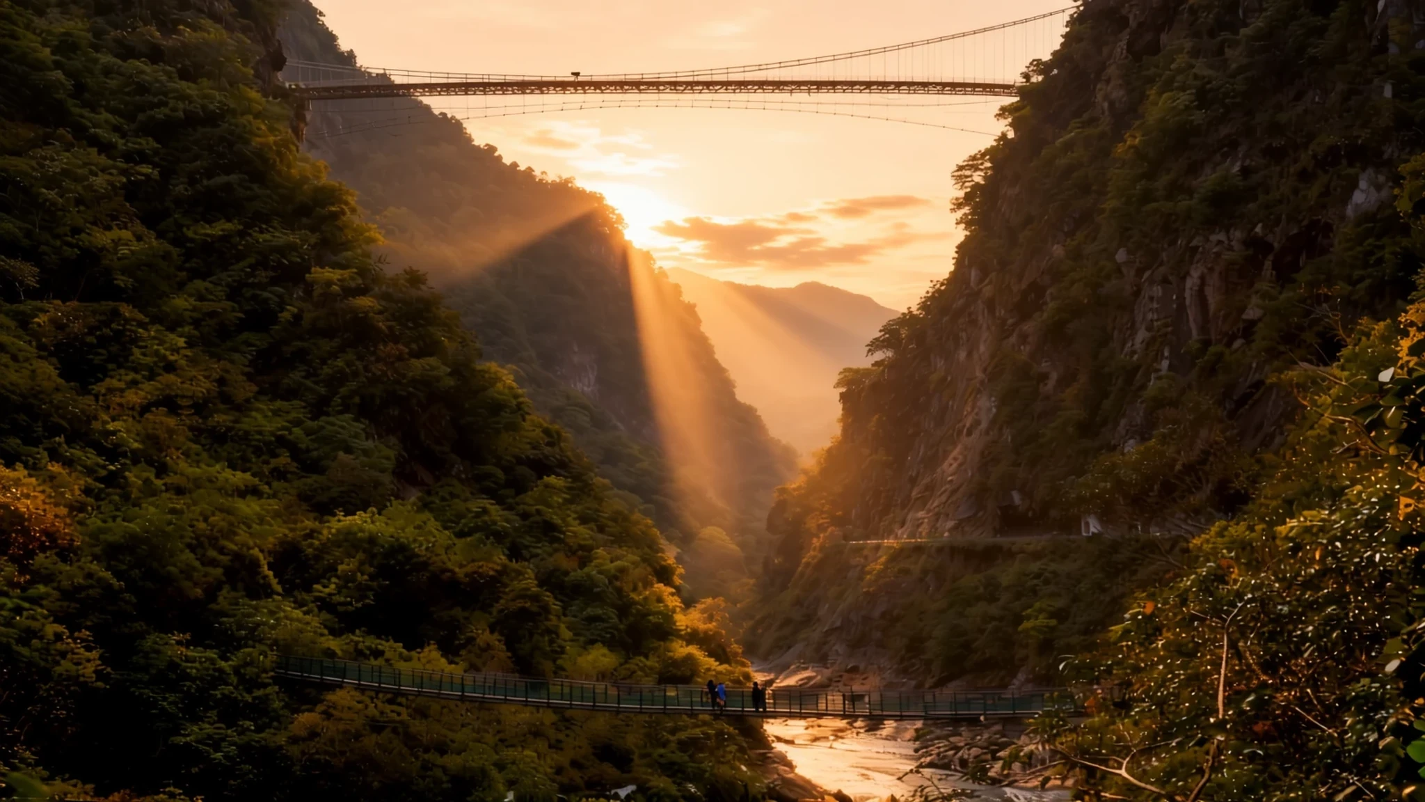
Marble cliffs, a mountain highway and river trails in one of Taiwan's rugged landscapes; go in spring or autumn and check trail closures.
The place
Taroko National Park lies in the rugged east of Taiwan, spread across Hualien County, Taichung and Nantou, with much of it in Xiulin Township. Its name comes from the Taroko Gorge, a deep cut through the mountains that the Liwu River has carved over a very long time. The gorge runs through marble, which makes it unusual: few river gorges anywhere are cut so completely through this stone, and its pale walls change colour as the light moves across them. The park covers a wide range of ground, from tropical deciduous forest on the lower slopes to cool pine and cedar woods higher up. The Central Cross-Island Highway crosses it, so drivers, cyclists and coach parties all come through. Many shorter trails to waterfalls, side valleys and rock faces remain closed after the 2024 earthquake and the floods that followed, so check which routes are open before setting out. Hualien city is the usual base, and the park suits a day or two of walking and looking rather than a quick stop. Weather shapes everything here. Heavy rain can bring rockfall and close trails, so the visitor centre's current advice is the first thing to check each morning.
Its story
Taroko National Park has a short but tangled history. It was first set up on 12 December 1937, when Taiwan was part of the Japanese Empire, as Tsugitaka-Taroko National Park, a name that reflected the gorge's growing fame among visitors. After Japan lost the Second World War, the Republic of China administration took control of the island, and the park was abolished soon after. It returned only in 1986, when it was reestablished in its present form with the gorge at its heart. The landscape has a far longer story. A few million years ago the Philippine Sea Plate and the Eurasian Plate met, pushing up the Central Mountain Range that runs the length of Taiwan, and the land is still rising by a few millimetres each year. Calcium carbonate that had built up in ancient seabed deposits hardened into limestone, and heat and pressure later changed that limestone into marble. As the land lifted, rivers such as the Liwu cut into this stone and left the narrow walls visible today. Roads followed. The Central Cross-Island Highway, which climbs from tropical forest to cool conifer woods, was built through difficult country, and the Eternal Spring Shrine honours the workers who died during its construction. Rockfall and landslides remain a constant threat. In 2024 a strong earthquake struck the eastern coast, causing heavy damage, and landslides blocked the highway for a time.
What to see
- Shakadang Trail — Taroko Gorge road
A riverside path that follows the Shakadang river upstream into a quieter side valley. Plan for a half-day return walk. Locals also call it the Mysterious Valley Trail, a name that stuck after walkers decades ago found the valley unusually secretive. Stones can be slippery, and sections may close after heavy rain, so check the visitor centre first.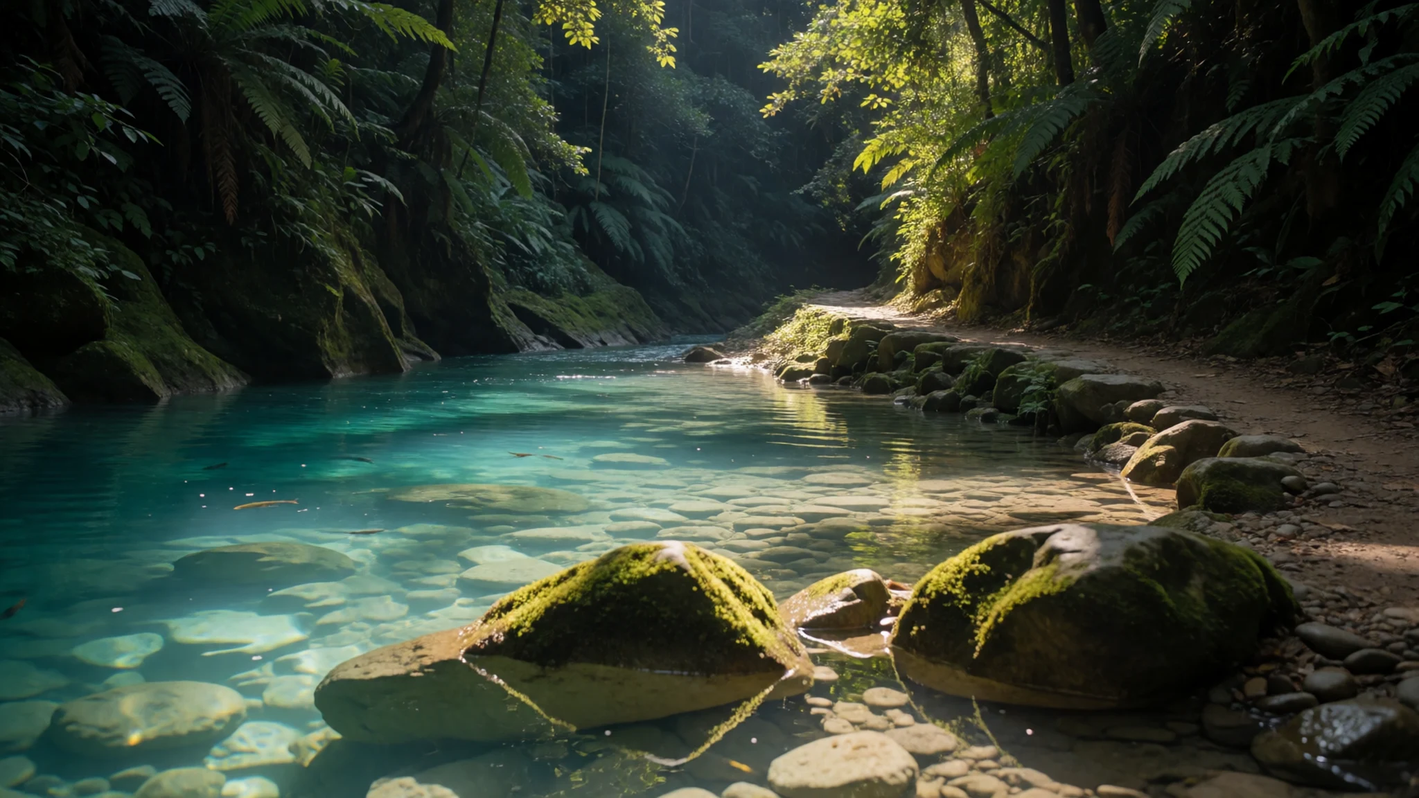
- The Eternal Spring Shrine — Central Cross-Island Highway, gorge section
Set into the cliffs above the road, the Eternal Spring Shrine commemorates the workers who died while the Central Cross-Island Highway was being cut through the gorge. Its setting, with rock rising behind and the river far below, makes it a reflective stop on the drive. Keep voices low, and treat the shrine as a memorial rather than a photo backdrop.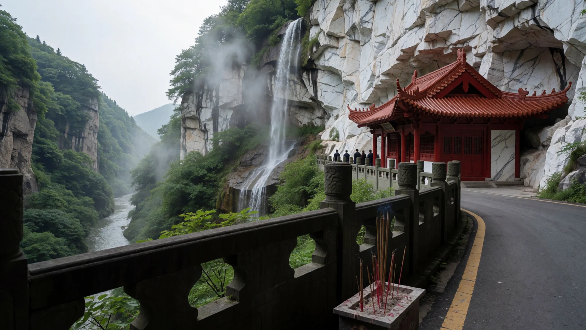
- Buluowan — Taroko Gorge road, service centre area
Buluowan is a broad bend in the gorge road with a service centre, toilets and a short walk with views over the valley. Tour coaches arrive through the middle of the day, so an early start gives clearer views and easier photographs. The shops and restaurant here have a reputation for high prices, so bring water and snacks from town.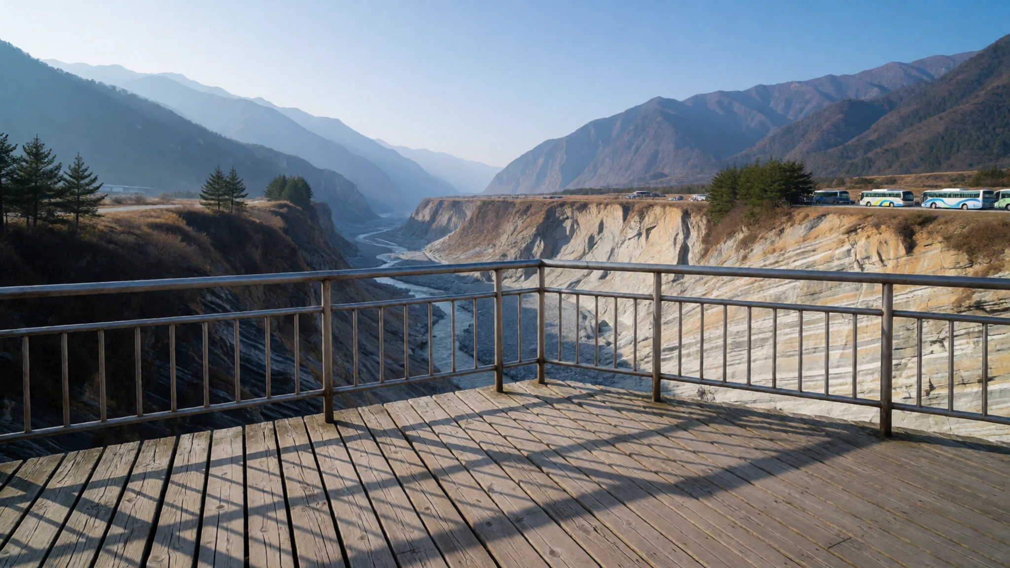
- Swallow Grotto — Taroko Gorge, beneath the Zhuliu cliffs
Swallow Grotto is a short, easy walk along the gorge with views back down the valley, ending beneath the Zhuliu cliffs. A kiosk with toilets sits halfway along. It has been closed for some time, so confirm its status at the visitor centre before planning a visit around it.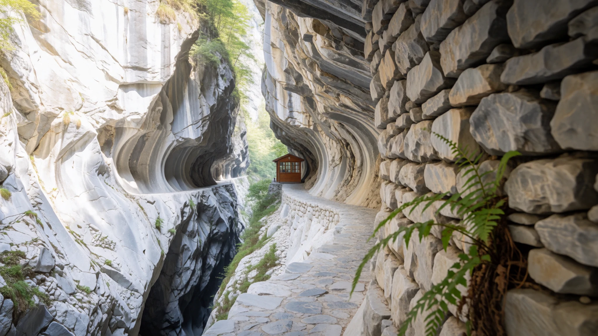
- Cave of Water Curtains on the Baiyang Trail — Baiyang Trail, Taroko Gorge
The Baiyang Trail is a gentle walk to the Cave of Water Curtains, where waterfalls pour across the rock face. A couple of hours round trip is typical, though paths can be wet. The walk suits most ages, and it is a good choice on a damp afternoon when higher trails are unsafe.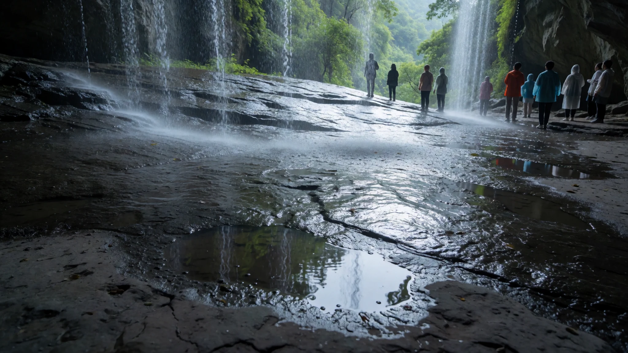
Culture
Taroko National Park is a working landscape as well as a park, and the people who live and trade in its valleys have their own long history here. The Eternal Spring Shrine is the clearest place to see how the gorge's modern road is linked to human cost, since it honours the workers who died building the Central Cross-Island Highway. Visitors treat it as a memorial rather than a viewpoint, so the mood there is quiet and reverent. Along the trails and at the stalls run by Indigenous families, interaction is generally friendly, but people are not props for photographs, and asking first is simple good manners. Shrines and small temples in the wider area are used by local people, so dress modestly and keep noise down when you visit them. Littering and leaving marked routes damage fragile slopes and put walkers at risk. Keep to marked trails, speak softly at memorials, and carry your rubbish out with you.
What to wear
Taroko National Park sits within the traditional homeland of the Truku people, whose dress has long been bound up with weaving and embroidery. Traditional garments were made from woven cloth and plant fibres, and embroidery and beadwork, often in geometric patterns, marked identity and community. Such clothing is seen today mainly at festivals, cultural events and family celebrations, while most people in the valleys dress in everyday modern clothes like anyone else in Taiwan. For a visit, dress for changeable weather rather than for the mountain setting. Quick-drying layers, a light waterproof and a hat for the sun will serve you well. Footwear with good grip matters more than style, because wet marble and clay can be slippery on the trails. Modesty is expected at temples and shrines, so cover shoulders and knees, and avoid loud colours at memorials. Carry a warm layer for the highway, where it becomes cooler as you climb.
What to eat
- Stalls on the lower Shakadang Trail — the lower end of the Shakadang Trail, before the path turns rougher
Near the lower Shakadang Trail, small stalls kept by Indigenous families sell snacks and cold drinks just before the path becomes a rougher track. This is the most rewarding place to taste local food while you walk, since the choice is simple. Bring cash, as cards may not be accepted. Eat before you go deeper into the valley.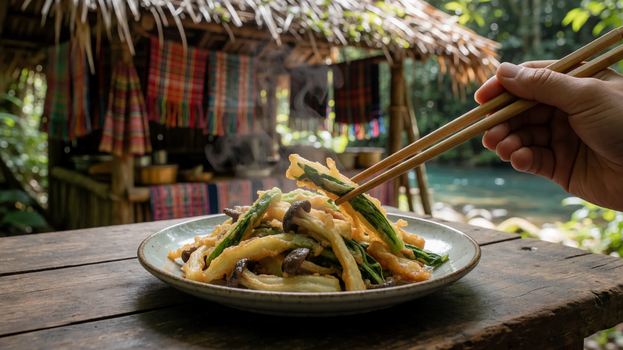
- Café snacks in Tianxiang — a café inside one of the hotels in Tianxiang
In Tianxiang, the café inside one of the hotels offers a reasonable snack and a cool, air-conditioned break from the summer heat. Expect a modest menu and higher prices than in town. It works best as a rest stop between walks rather than a meal in its own right.
- Xincheng Night Market — the market near Xincheng station, at the park's edge
Xincheng Night Market, near the station that serves the park, is quieter than Taipei's big night markets but still lively enough for dinner, a snack or a drink. Most stalls open after dusk. Little English is spoken, so pointing and smiling works well. - Spicy dishes around Xincheng — small eateries in the Xincheng area
Around Xincheng, several small eateries serve spicy dishes that feel welcome after a day in cool river air. Look for stir-fries and noodle bowls with plenty of chilli. Lunch here usually costs less than at the service centres in the gorge.
Plan it
Best time. March to April, when the weather is milder and the valley is green, and October to November, when the air is cooler and clearer. Summer is hot and wet, and heavy rain can bring rockfall and close trails.
How long. 2–3
Getting there. Fly to Taipei, then take the train to Hualien, the nearest major city; the express from Taipei takes about two hours. From Xincheng station near the park entrance, buses, shuttles or taxis run into the gorge. A taxi from Hualien station to Tianxiang takes about an hour.
Budget. mid
Tips
- Check the visitor centre for closed trails before setting out, since rain and earthquakes can shut paths at short notice
- Start early, because tour coaches fill the road and trailheads from mid-morning
- Carry cash for stalls and small shops, and bring plenty of drinking water, as services in the gorge are limited
- Wear shoes with good grip, since marble is slippery when wet
- Book accommodation in Tianxiang or Hualien well ahead of weekends and public holidays
Etiquette
- Keep to marked trails and do not climb onto rock faces or cross barriers
- Speak quietly at the Eternal Spring Shrine
- Ask before photographing people at stalls
- Take your rubbish back down the trail with you
Nearby
Sources
- Wikidata Q707427 (CC0)
- Wikipedia: Taroko National Park (rev 1381220087) (CC BY-SA 4.0)
- Wikivoyage: Taroko Gorge (rev 5377902) (CC BY-SA 4.0)
- Photo 01 Eternal Spring Shrine, Tommy.In (CC BY 3.0)
- Photo 02 Taroko Gorge, lumoplank (CC0)
- Photo 03 Map from Formosa, Army Map Service (Public domain)
- Photo 04 Imperial Japanese Army photograph, 1936 (Public domain)
- Photo 05 Taroko National Park, RUI AN YANG (CC BY-SA 4.0)
- Photo 06 Taroko Gorge Temple, Fred Hsu (CC BY 3.0)
- Photo 07 Biking at Taroko Gorge, Fred Hsu (CC BY 3.0)
- Photo 08 Taroko Gorge while biking, Tom Cheng (CC BY 3.0)


