Tam Cốc-Bích Động
Tam Cốc-Bích Động, Vietnam
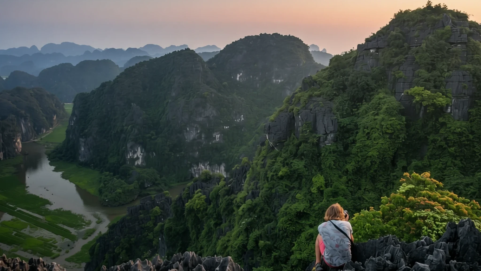
A flooded limestone landscape of caves, boats and mountain temples, best enjoyed early in the morning before the tour groups arrive.
The place
Tam Cốc–Bích Động lies in Ninh Bình province in north Vietnam, a short distance from the city and close to the village of Tam Cốc. It is really two attractions in one area: Tam Cốc, a flooded cave system threaded through limestone, and Bích Động, a cluster of temples built into the mountainside. Both form part of the Tràng An Scenic Landscape Complex, a World Heritage Site recognised for its combined natural and cultural value.
The water is what sets the landscape apart. Erosion has worn a small range of limestone into steep peaks and caves, but the valleys between those peaks are largely flooded, so the whole formation is laced with waterways. Narrow wooden boats glide between rock walls, past rice fields and reed beds, and the scene turns a deep green in the wetter months.
Most visitors stay at Tam Cốc, about 9 km southwest of the city along Highway 1, or nearer Tràng An to the west, where guesthouses sit at the foot of the hills. Ninh Bình city itself holds little to detain a traveller, so the countryside is the real reason to come. Getting around suits a slow pace, whether by bicycle, scooter or simply walking between stops.
Its story
The human story of Tam Cốc–Bích Động reaches back far beyond the tourist boats. Archaeological remains in the region's caves point to people living there around 30,000 years ago. Later, the same rugged terrain shaped the country's political history. Hoa Lư, now part of the heritage landscape, was the ancient capital of Vietnam, and in the late 10th century it was the economic, political and cultural centre of Đại Cồ Việt, an independent Vietnamese state founded in 968 A.D.
The geography explains much of that choice. The narrow caves and winding waterways offered a natural base that was easy to defend, and the citadel was built among them. The Đinh and early Lê dynasties ruled from there, and the city was never directly attacked, a fact often credited to the terrain itself rather than to any wall.
Little of that early capital survives in its original form. What visitors find at Hoa Lư today is largely later work, with temples and monuments built long after the dynasties ended, including a temple dedicated to Đinh Tiên Hoàng, the founding king. These buildings keep the memory alive, while the caves and hills carry the older history in their shape.
Bích Động follows a different thread. Its temples were cut into the mountain during the reign of Lê Thái Tổ, and they sit above the same flooded valleys that once sheltered the capital. Today the whole area is read as one landscape, which is why the complex is valued for its natural and cultural qualities together.
What to see
- Bích Động Pagoda — Bích Động, Tam Cốc area
Three temples are carved into a limestone mountain at Bích Động, dating from the reign of Lê Thái Tổ. Climb the steps to the upper shrines for views over the paddy fields, then descend to the lower temple. Beside it sits a stone that gives a clear, ringing note when tapped, and a Buddha footprint is set among the shrines. Remove shoes at each threshold and keep the tapping gentle.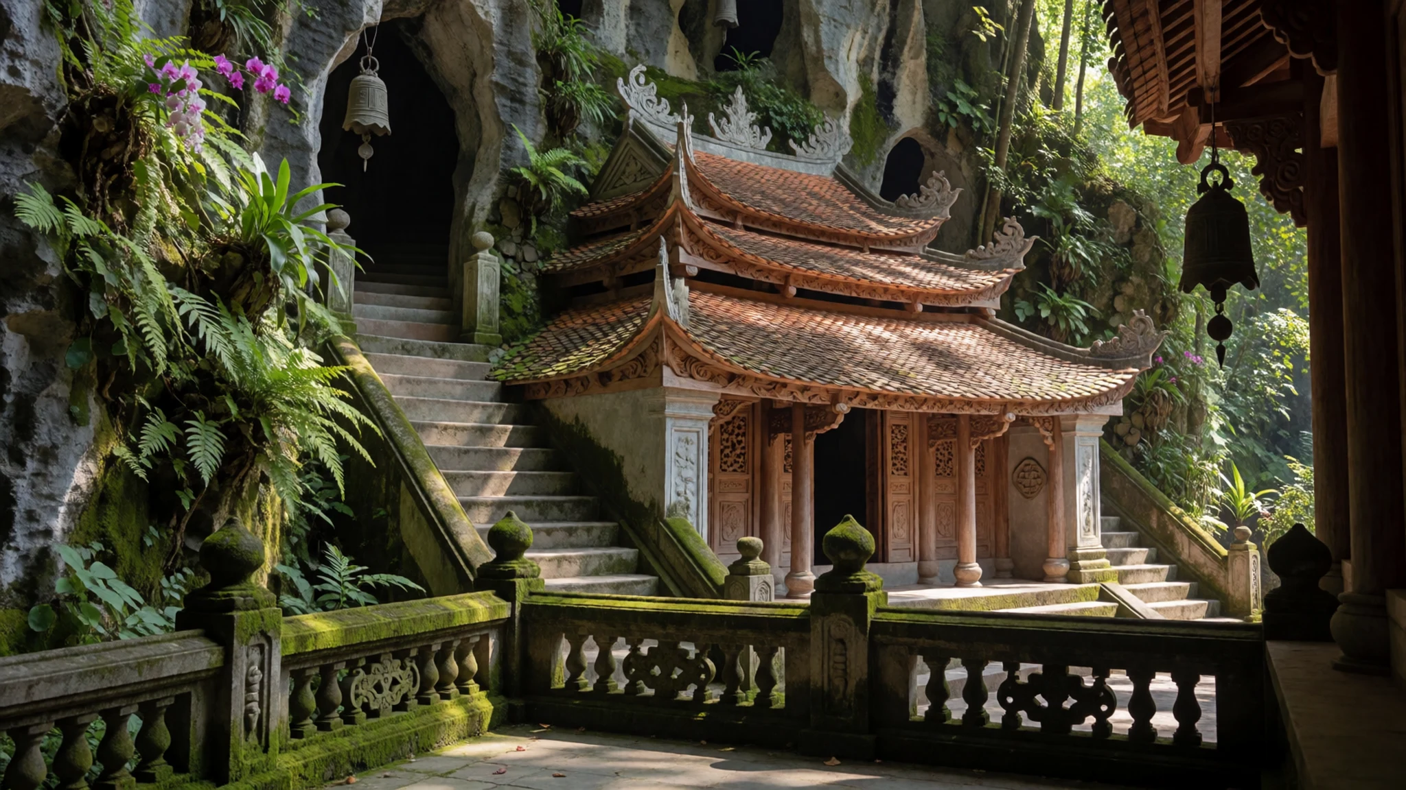
- Hidden Valley (Secret Cave) — Tam Cốc area
This secluded valley lies a short walk from the main boat routes, and very few visitors wander into it. Paths wind between rice fields, small waterways and limestone cliffs, so the quiet is the main attraction rather than any single monument. A small shop sells drinks and ice cream, but it may be closed, so carry water and sun protection. Mornings suit it best, when the light is soft.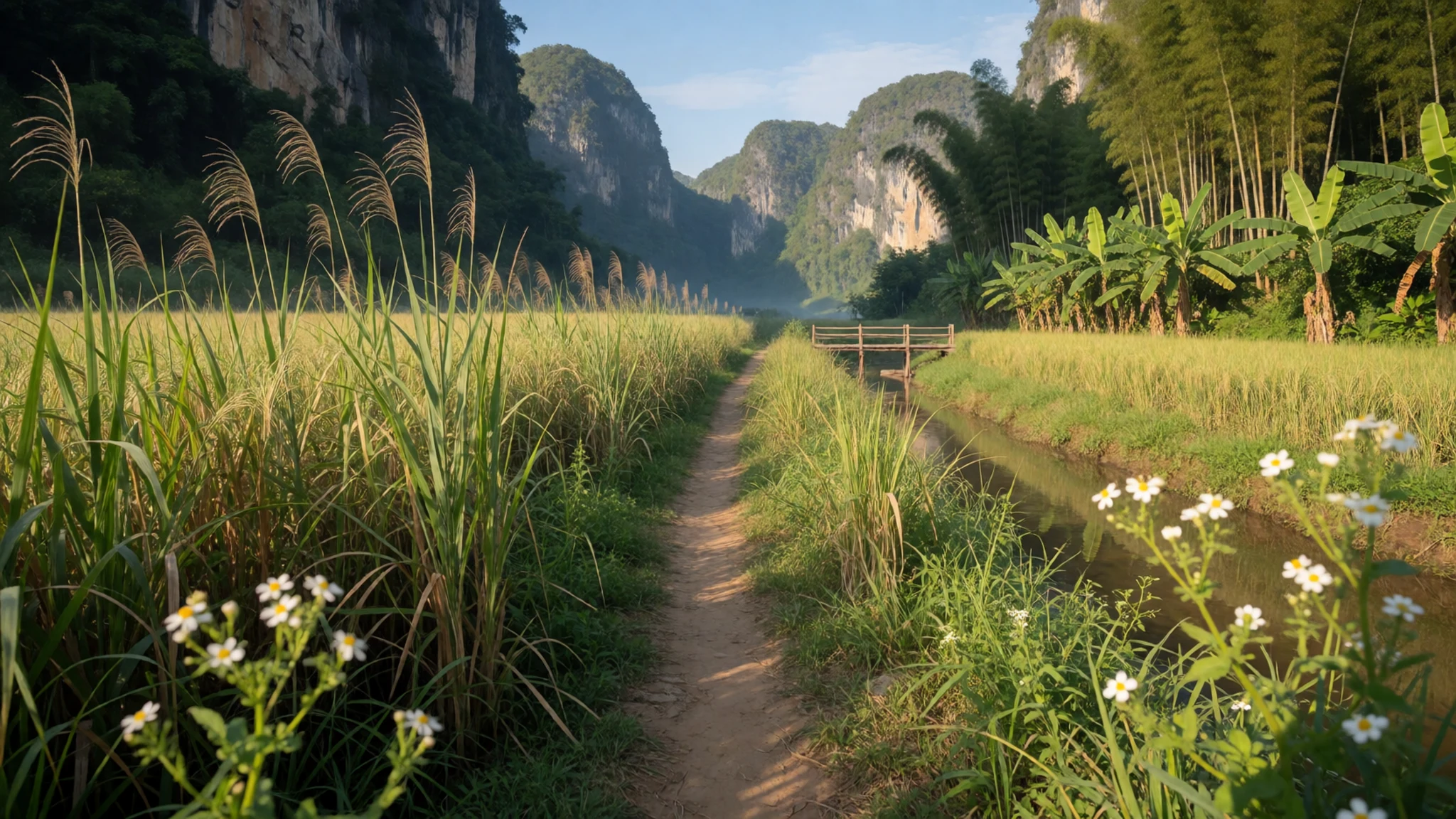
- Mua Cave — Ninh Bình countryside, near Tam Cốc
The cave here is modest, but the climb above it is the reason to come. A long flight of steps leads to the first hilltop, where a small temple looks out over Tam Cốc and the Ninh Bình countryside. On a clear day the views are wide and striking. Summer climbs are hot and sweaty, so start early and bring plenty of water.
- Bái Đính Temple — Ninh Bình, north of Tam Cốc
Bái Đính is a large Buddhist complex, described in Wikivoyage as the largest of its kind in Vietnam. Most of its buildings are recent, so the stonework and halls look fresh. A tall pagoda tower can be reached by lift. The grounds are spread out and the walks between halls are long in the heat, so allow a full morning or afternoon.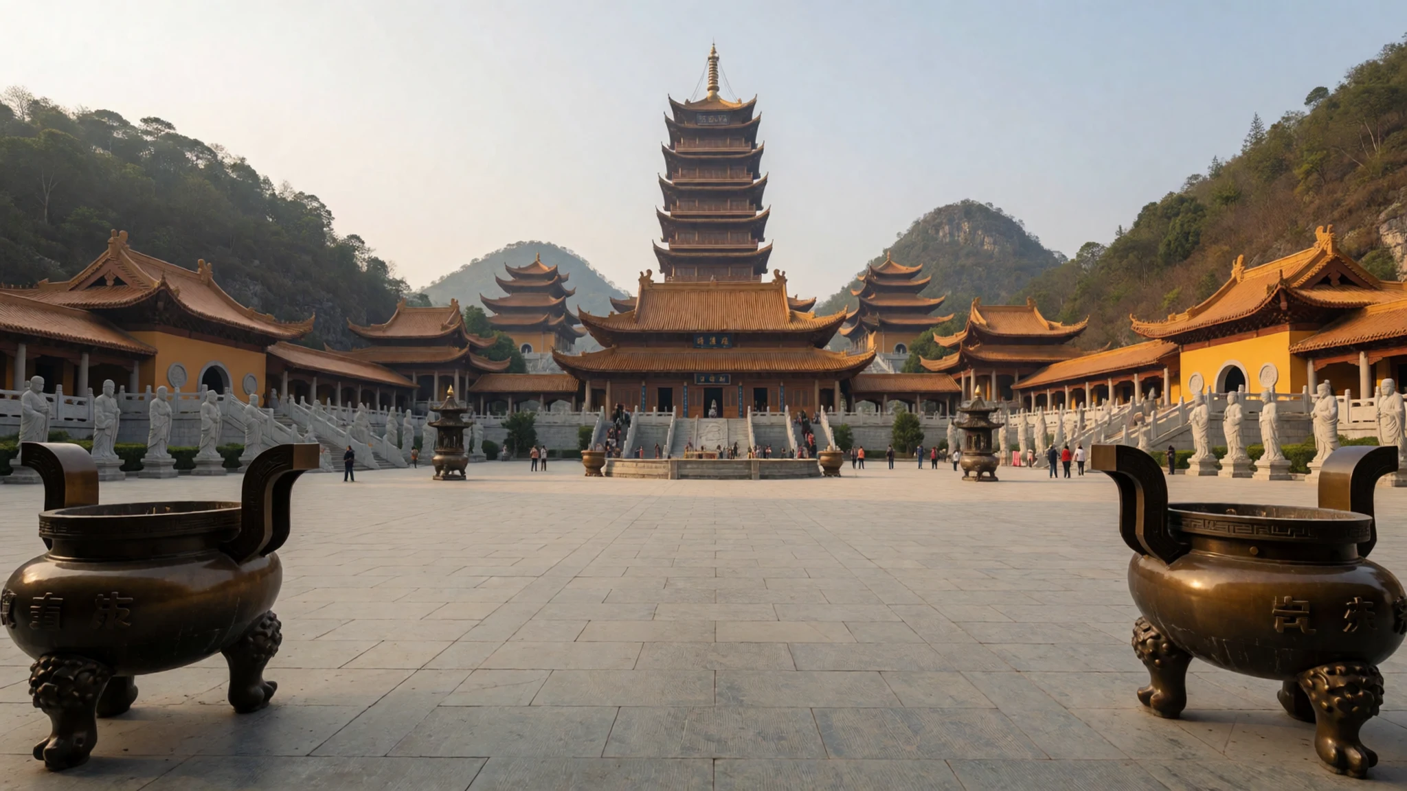
- Hoa Lư Ancient Capital — Hoa Lư, the former capital
Hoa Lư was the seat of the Đinh and early Lê dynasties, and little of that early city survives. What remains are later temples and monuments, including the temple of Đinh Tiên Hoàng, the founding king. The site is compact and can be seen in a few hours. Pair it with the karst scenery nearby to see why the location was chosen.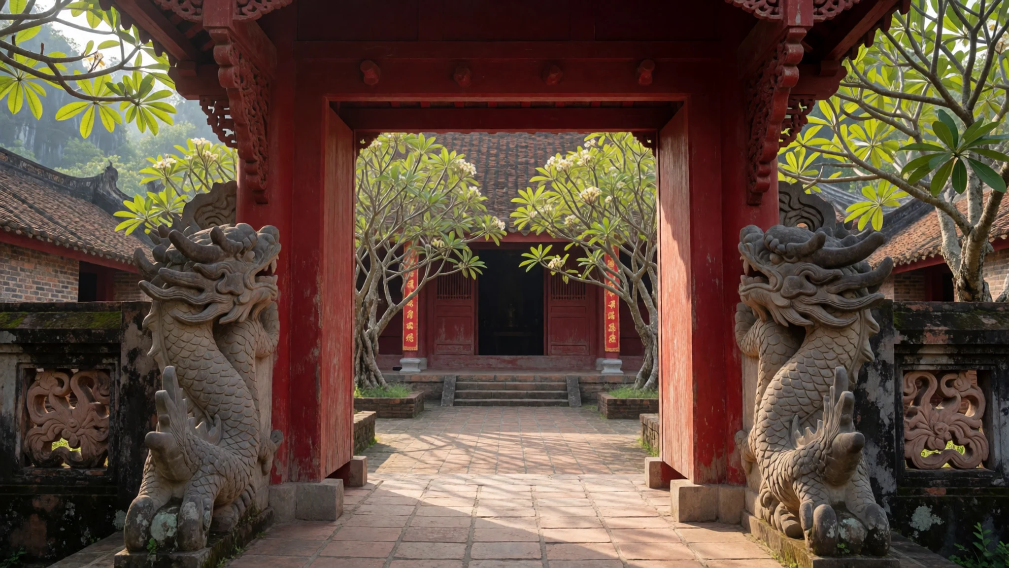
Culture
Tam Cốc–Bích Động is a working landscape as much as a visitor attraction. Boatwomen row tourists between limestone walls, and farmers tend paddy fields beneath the temples, so the area is shared every day by people going about their work. Bích Động is also an active Buddhist site, and monks and worshippers visit the pagodas throughout the year. Locals treat the shrines as places of prayer rather than scenery, and their routines continue alongside the crowds. Visitors are expected to dress modestly, speak quietly near the shrines and keep to marked paths around the fields. Photographs of people at prayer should be taken only with permission, and boat fares are best agreed before setting off rather than haggled at the landing. Above all, remove your shoes at every temple threshold before stepping onto the floor.
What to wear
Tam Cốc–Bích Động sits in a countryside where traditional dress has long been tied to farming and the river. The most recognisable item is the conical nón lá, a hat woven from palm leaves that shades farmers and boatwomen from sun and rain. Women have traditionally worn the áo dài, a long tunic over trousers, usually in silk or cotton, for festivals, weddings and formal occasions.
Everyday dress is practical. People in the area wear loose cotton trousers, simple shirts, sandals and, on scooters, helmets. Many rowers still wear long sleeves and a conical hat during the day, which keeps off the strong sun reflected from the water.
Visitors should dress for heat, rock and modesty. Light, long sleeves and trousers or a long skirt suit the temples, and covered shoulders are a sensible choice at the pagodas. Sturdy closed shoes with good grip are better than flip-flops for the wet steps and slippery rock at Mua and the boat landings. Bring a hat, sunglasses, sun cream and insect repellent.
What to eat
- Mountain goat (dê núi) — the larger local restaurants on the roads out of town
Local goat, known as dê núi, is the area's signature meat, often stir-fried and served with fried rice. It is rich and gamey, so a few mouthfuls with plain rice go a long way. Groups usually order it to share.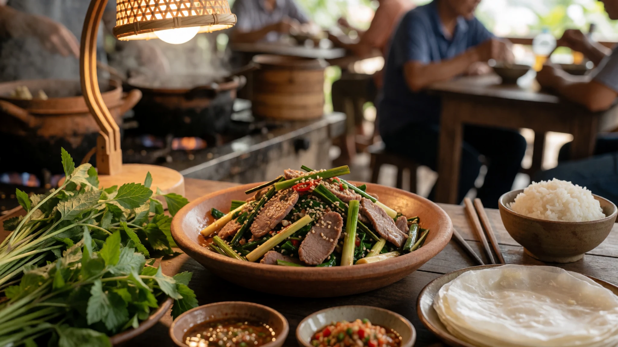
- Cơm cháy (crispy rice) — simple family-run eateries in the town and along the Tam Cốc road
Cơm cháy is the burnt layer from the bottom of a clay pot, fried until crisp and traditionally served with pork. It is a classic local dish that shows the rural kitchen at work. Locals eat it as a snack as well as a meal, and it is easy to find in simple, family-run places.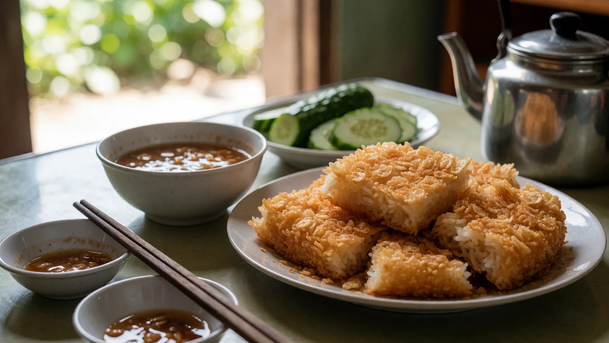
- Duck — family restaurants near the river at Tam Cốc
Duck appears on many menus in the area, roasted, steamed or braised with herbs and served with rice or noodles. It makes a good choice when goat feels too heavy. The dish suits a relaxed lunch after a boat trip.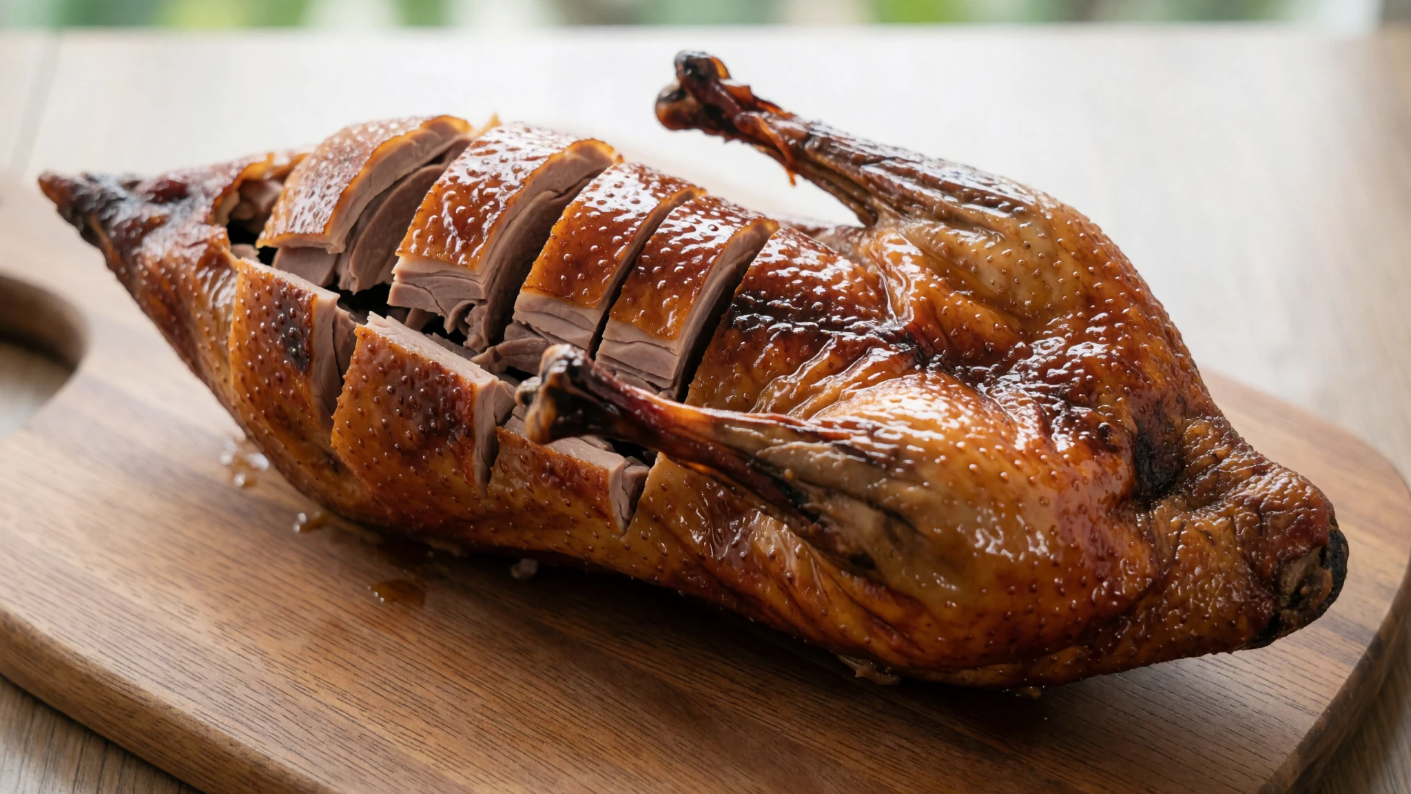
- Phở bò (beef noodle soup) — small street eateries near the town's market
A simple bowl of beef noodles, made fresh and often cooked in front of the customer. It works well for breakfast before an early boat trip. Fresh herbs and lime sit on the table for adding to the broth. - Beer and grilled snacks — beer gardens on the streets away from the main road
Evenings in the town are relaxed, with locals drinking beer at tables on the pavement. Beer gardens away from the main street serve burgers, grilled dishes and salads, and several offer vegan options. Sitting outside with a cold drink is the easiest way to end the day.
Plan it
Best time. Winter, roughly December to February, is the most comfortable season, with the coolest days and the least rain for boat trips. March and April are dry but very hot, with April the hottest month of the year, and October and November stay hot too. Summer is hot and wet, with heavy rain that can make the steps slippery and the boats less pleasant.
How long. 2–3
Getting there. Hanoi's Noi Bài airport is the nearest major airport, a couple of hours by road from Ninh Bình. Buses leave Hanoi's southern bus terminal regularly for Ninh Bình, and the trip takes a couple of hours depending on traffic. From the city, a taxi or motorbike covers the last short leg to Tam Cốc.
Budget. low
Tips
- Start early, before the tour groups reach the boat landings at Tam Cốc
- Agree the boat fare before you set off, and check the official site for current information before you travel
- Carry small notes of cash for boats, snacks and small temples, as cards are rarely accepted in villages
- Use official motorbike parking at the boat points, because thieves target mirrors and parts
- Bring water and sun protection, especially for the Mua climb in summer
Etiquette
- Remove shoes at every temple threshold before stepping onto the floor
- Ask permission before photographing people at prayer or villagers at work
- Keep voices low in caves and near shrines
Nearby
Sources
- Wikidata Q1406000 (CC0)
- Wikipedia: Tam Cốc – Bích Động (rev 1361758486) (CC BY-SA 4.0)
- Wikivoyage: Ninh Binh (rev 5340950) (CC BY-SA 4.0)
- Vietnam, Ninh Binh, Trang An Cave (Vyacheslav Argenberg) (CC BY 4.0)
- Tam Coc from Summit - August 2023 (Anass Sedrati) (CC BY-SA 4.0)
- Photos de Ninh Binh vue du ciel (Preparetavalise.com) (CC BY-SA 4.0)
- Tam Cốc - Bích Động (Tuan Mai) (CC BY 2.5)
- Tam Cốc, Ninh Binh Province, Vietnam (harmony-hiro) (CC BY 2.5)
- Đường vào Tam Cốc (vi:user:Thỏ nâu) (CC BY 3.0)
- Đền Hạ-chùa Bích Động (Liftold) (CC BY 3.0)
- -i---i- (43520225892).jpg (Vinnie Cartabiano) (CC BY 2.5)


