Tablas de Daimiel National Park
Tablas de Daimiel National Park, Spain
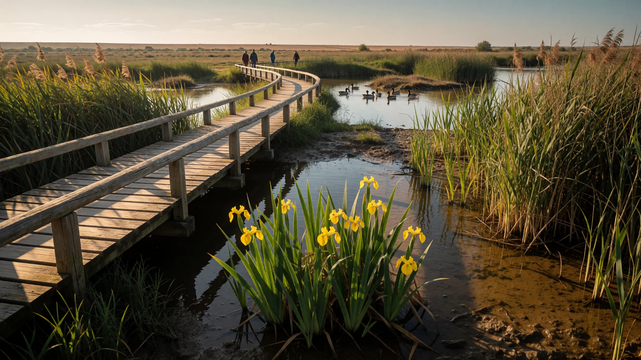
Tablas de Daimiel National Park is a floodplain wetland on the arid La Mancha plain, where two rivers still spread into reed beds.
The place
Tablas de Daimiel National Park (Parque Nacional de las Tablas de Daimiel) is a shallow wetland on the La Mancha plain in Ciudad Real province. The country around it is largely arid farmland, which is why the water that gathers here matters so much. The Guadiana and the Cigüela meet on this flat ground and spill into the shallow flood sheets called tablas: reed beds, mud islands and lagoons that come and go with the water. The Guadiana's flow is fresh, the Cigüela's is brackish, and groundwater seeps into the same basin. That mix is the habitat.
The park takes in ground belonging to Daimiel and Villarrubia de los Ojos, and protection is being extended into neighbouring dry farmland so the marsh can be managed together with the fields around it. The wetland covers some 3,000 hectares. Visitors cross it on wooden footbridges, with hides set for waterbirds. How much open water is present depends on rain and on the aquifer under the plain, which has been heavily pumped for irrigation. Declared a national park in 1973, the site is also a Ramsar wetland and a Special Protection Area for birds, and it sits at the centre of the Mancha Húmeda Biosphere Reserve. The official website (http://reddeparquesnacionales.mma.es/parques/daimiel/index.htm) is the check for water levels, open trails and access rules, because a dry year and a wet year do not look like the same place.
Its story
Tablas de Daimiel National Park was a hunting ground for centuries before anyone called it a park. Don Juan Manuel, in the Libro de la caza of 1325, already treated the river banks as falconry country. Fish and mill wheels depended on the same water. Philip II's Topographic Relations of 1575, a survey of the kingdom, told local officials to keep the tablas in good care. What protected the marsh, for a long time, was the shooting rather than a love of reeds.
Drainage pressure arrived later. From the 1950s the government pushed land reclamation across La Mancha so that wetland could become farmland. Sporting use did not stop: Franco came for the duck, and in 1966 the tablas were designated a National Hunting Reserve. In 1963 the International Union for the Conservation of Nature started the MAR Project, which compiled a priority list of marshes and pressed for habitat protection rather than species-only rules. That list helped pave the way for the Ramsar convention. National-park status followed in 1973, after drainage schemes had already bitten into the floodplain.
The lasting threat has been the aquifer. The store known as aquifer 23 has failed to recover under pumping driven by the Badajoz irrigation plan, begun in 1952, and by cereal growers with more political weight than the marsh. Yearly allocations to water users, roughly 590 million cubic metres, run close to double the renewable supply, roughly 320 million cubic metres. In 1995, with a possible European Union penalty in prospect, the environment ministry put forward a transfer from the Tagus to the upper Guadiana and the Mancha Húmeda, intended for towns and protected wetlands rather than for crops. The plan was poorly received, and the floodplain's recovery has remained incomplete.
What to see
- Isla del Pan — Isla del Pan, Tablas de Daimiel
Isla del Pan is the best-known walk in Tablas de Daimiel National Park: a flat 2.5-kilometre loop, about an hour and a half. Wooden footbridges link the islands across the tablas. The Laguna de Aclimatación, an aviary pool on the circuit, brings waterfowl close to the path. The park rates the walking as easy, with access only partial, and the red trail joins on near the finish.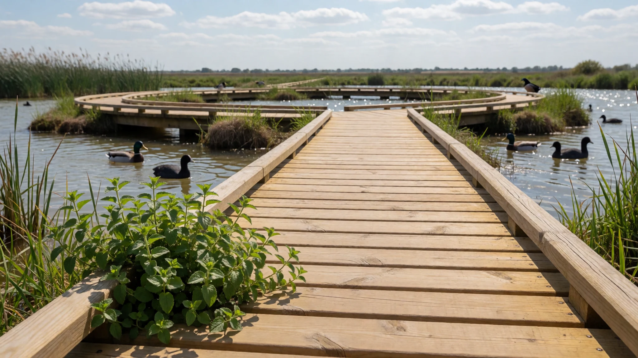
- Laguna Permanente — Guadiana entrance, Tablas de Daimiel
Laguna Permanente, the red trail, leads to where the Guadiana enters Tablas de Daimiel National Park. The circular walk is about 1.5 kilometres and takes about an hour, on easy ground with incomplete access. Two hides overlook the permanent lagoon, so waterbirds can be watched without standing on the open bank. The path can be joined from Isla del Pan near the end of that loop.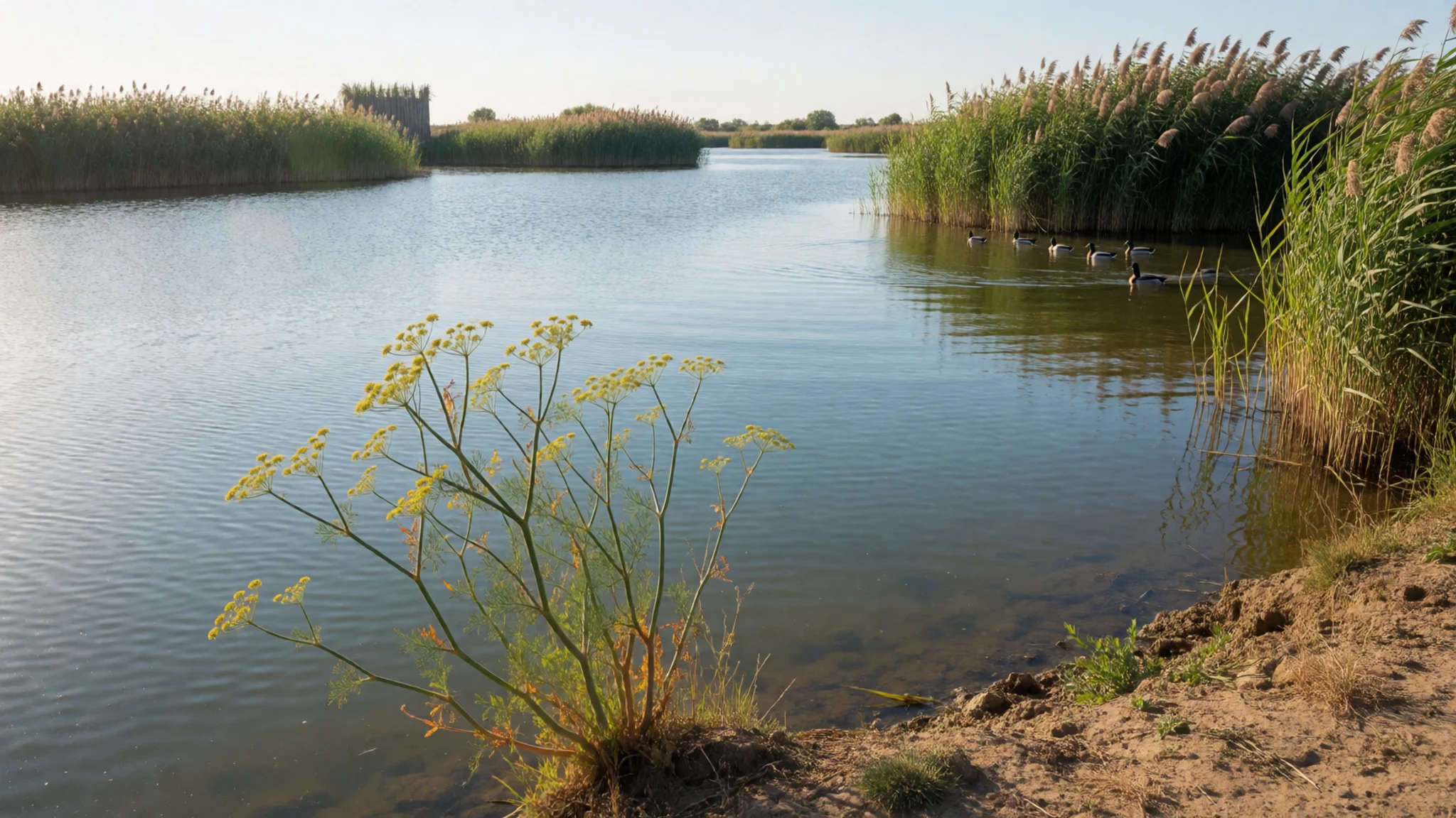
- Prado Ancho Tower — Prado Ancho, Tablas de Daimiel
Prado Ancho Tower is the blue trail at Tablas de Daimiel National Park, the third signed walk beside the yellow and red loops. Distance and time are not given with the name, so read both at the trailhead or at http://reddeparquesnacionales.mma.es/parques/daimiel/index.htm. The tower belongs to the wetland, not to the streets of Daimiel or Villarrubia de los Ojos.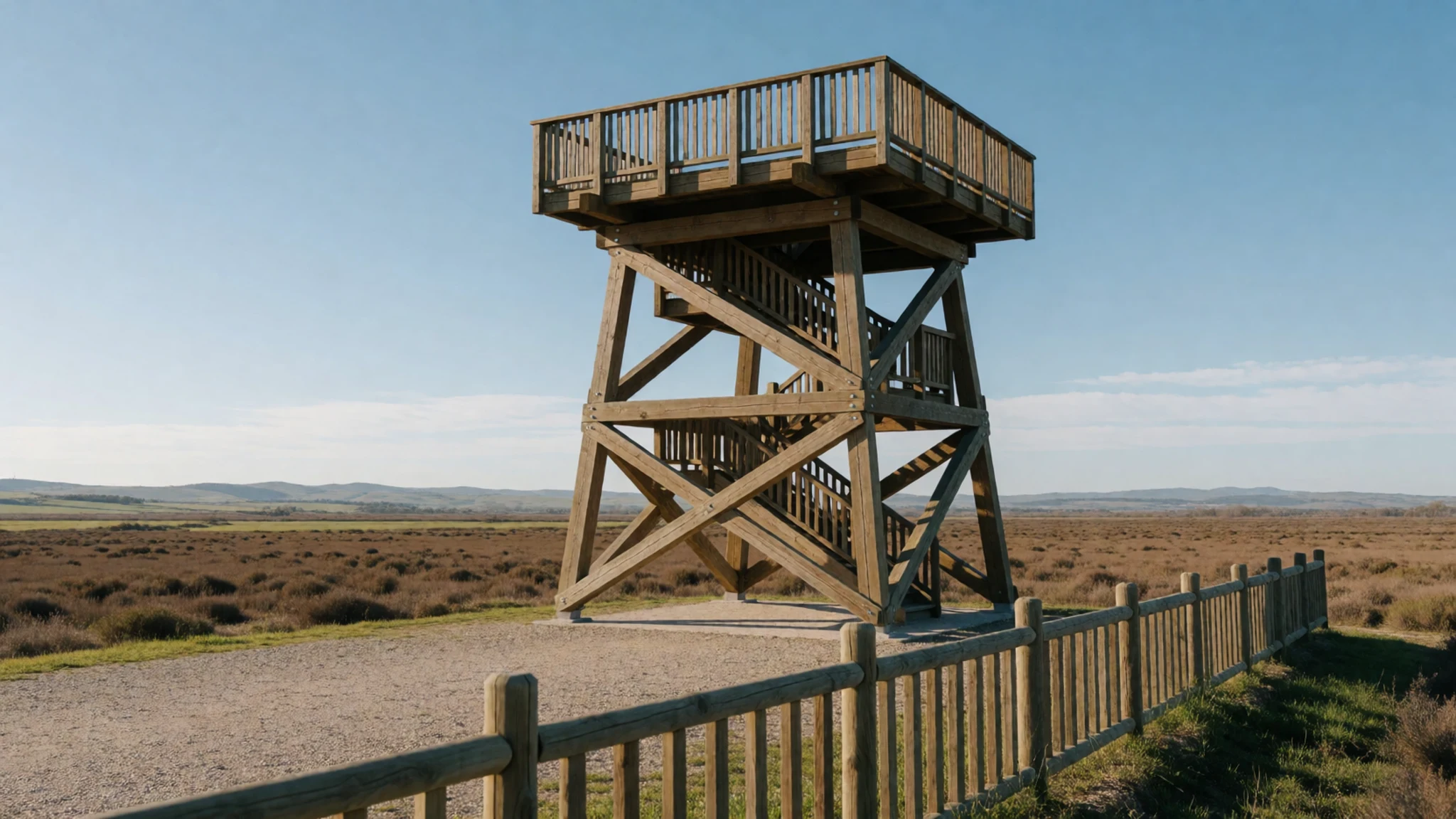
- Daimiel and Plaza de España — Daimiel, Ciudad Real
Daimiel is the La Mancha town that gives Tablas de Daimiel National Park its name, and its centre is older than the reserve. The Plaza de España, from the 16th century, was once the Plaza de los Portales Blancos, a Castilian square of white arcades. Buses and trains stop in town, and taxis cover the last stretch to the wetland.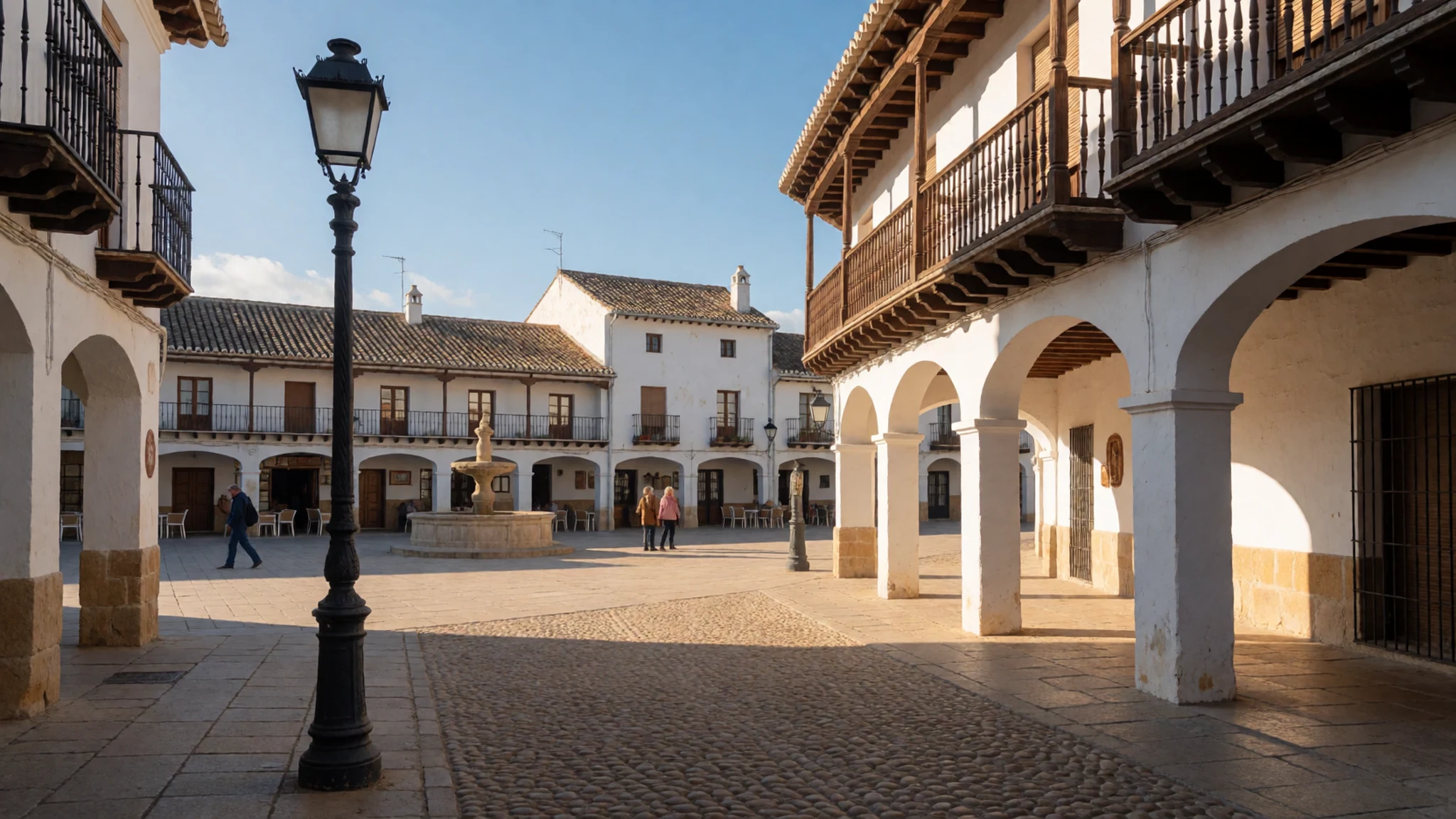
- Villarrubia de los Ojos — Villarrubia de los Ojos, Ciudad Real
Villarrubia de los Ojos lies at the foot of the Montes de Toledo, in Ciudad Real province, and part of Tablas de Daimiel National Park falls within its municipality. The town is a compact heritage stop beyond the wetland, with the hills on the skyline and the marshes a short way off.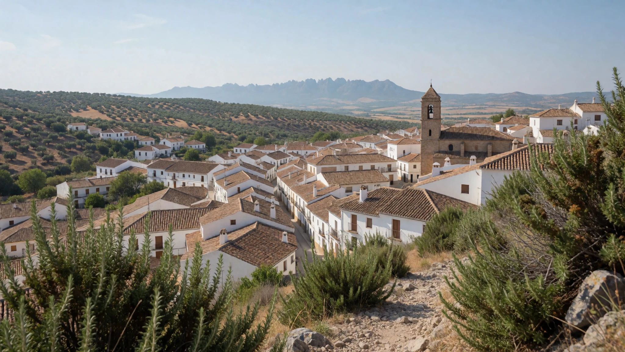
Culture
Tablas de Daimiel National Park belongs to a hunting and farming district, not only to a birdwatching map. For centuries the tablas mattered because falcons and guns found ducks here, and because mills and nets used the same water. That past is recent as well as medieval: the marsh was a National Hunting Reserve in 1966 and a national park only from 1973, while the plain around Daimiel and Villarrubia de los Ojos is still cereal country. People in those towns live beside the wetland, so disputes about wells and irrigation are disputes about neighbours' fields.
Days out are quiet and local. Footbridges and the hides on the Laguna Permanente trail reward people who keep still; a loud group sees less. Daimiel's Plaza de España, late lunches, and weekends at the picnic ground are the ordinary Castilian frame around the reserve. Guided four-wheel-drive visits leave from the town's bus and railway station and come back there.
Stay on the wooden footbridges, keep quiet at the hides, and leave the waterfowl undisturbed; the wetland is a refuge, not ground for off-path exploring or feeding birds.
What to wear
Tablas de Daimiel National Park has no dress of its own; clothing follows Daimiel, Villarrubia de los Ojos and the rest of rural La Mancha. At fairs and processions people still bring out festive Castilian clothes: women in full skirts, aprons and shawls, sometimes a lace mantilla for a procession, and men in dark wool trousers, a sash and a shirt, with a hat for the sun on the plain. Linen and wool were the working textiles, made for dust and field labour rather than for reed beds. Those clothes belong to feast days.
Weekdays look like any inland Spanish town. Jeans, trainers, light jackets and colours that cope with strong sun are what people wear to the plaza and on the drive to the park. Boots, caps and quilted waistcoats are as common at the edge of Daimiel as formal costume.
Visitors should dress for an exposed arid plain and for timber walkways. A hat, sunscreen and a light layer beat smart clothes, and long sleeves help against sun near the reeds. Shoes with a grip are better than sandals when the bridges are wet. In town, ordinary daywear is enough for the Plaza de España.
What to eat
- Pisto manchego — Bars and restaurants in Daimiel, Almagro, Manzanares and Ciudad Real
Pisto manchego, the vegetable fry eaten around Tablas de Daimiel National Park, is tomato, pepper, courgette and onion cooked slowly in olive oil, often with a fried egg. Bars and restaurants in Daimiel, Almagro, Manzanares and Ciudad Real serve it as a starter or a light main.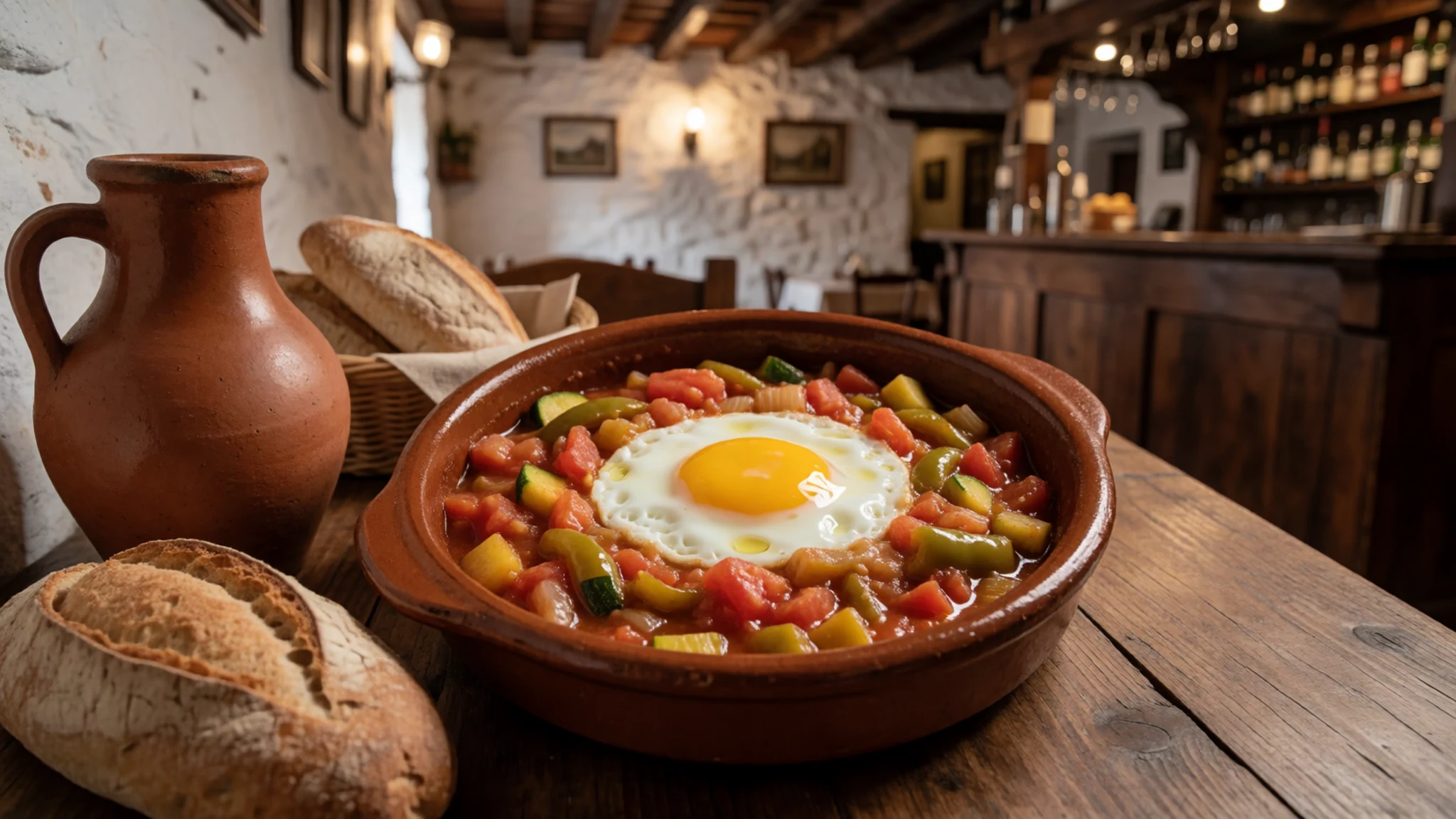
- Migas manchegas — Bars in Daimiel, Manzanares and Ciudad Real
Migas manchegas, a bar staple near Tablas de Daimiel National Park, are breadcrumbs fried with garlic, paprika and olive oil, often with grapes, chorizo or an egg. Once shepherds' food, they are now a filling plate in bars in Daimiel, Manzanares and Ciudad Real.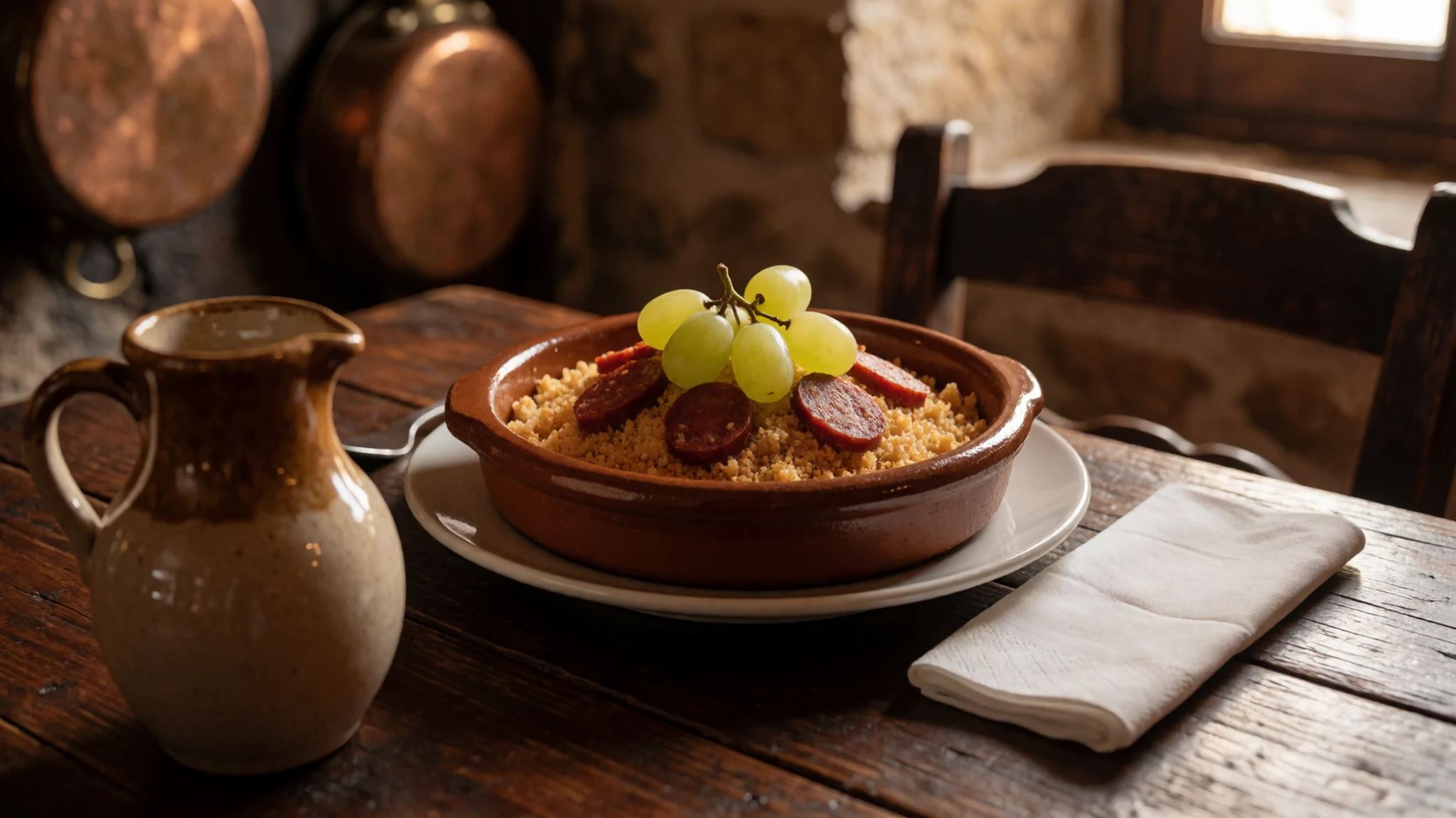
- Queso Manchego — Bars in Daimiel, Almagro and Ciudad Real, and shops for the Área Recreativa
Queso Manchego, a firm sheep's-milk cheese, is the tapa to count on near Tablas de Daimiel National Park. Bars in Daimiel, Almagro and Ciudad Real serve wedges with bread, and shops sell pieces for the Área Recreativa picnic ground beside the wetland. - Berenjenas de Almagro — Almagro, and bars or shops in Daimiel
Berenjenas de Almagro, eaten near Tablas de Daimiel National Park, are small aubergines pickled with garlic, cumin and vinegar, often pinned shut with a sliver of pepper. Almagro, a town with bars and restaurants nearby, is their home, and jars also turn up in Daimiel. - Gachas manchegas — Family restaurants in Daimiel, Manzanares and Ciudad Real
Gachas manchegas, served to visitors from Tablas de Daimiel National Park, are a thick pap of flour, olive oil, garlic and paprika, enriched with pork or salted fish. Family restaurants in Daimiel, Manzanares and Ciudad Real plate them as a hearty lunch.
Plan it
Best time. Tablas de Daimiel National Park lies on an arid plain, and the tablas depend on an aquifer that irrigation has often drawn down, so the best time is any season when http://reddeparquesnacionales.mma.es/parques/daimiel/index.htm shows water in the lagoons and the footbridges open. Spring and autumn spare you the strong sun on the exposed walks; high summer on La Mancha is hard light for a shadeless marsh.
How long. 1–2
Getting there. Taxis run from Daimiel's bus and railway stations to Tablas de Daimiel National Park. Guided four-wheel-drive visits also leave from those stations and return to town. By car the last leg is the road out from Daimiel, which should be confirmed at http://reddeparquesnacionales.mma.es/parques/daimiel/index.htm. Rooms are in Daimiel, Almagro, Manzanares and Ciudad Real, not in the wetland itself.
Budget. low
Tips
- Check http://reddeparquesnacionales.mma.es/parques/daimiel/index.htm for water levels and open trails before you leave Daimiel.
- Walk the yellow and red loops early, before other people reach the hides.
- Carry drinking water; the plain is arid and the visitor-centre cafeteria is the only refreshment on site.
- If you are not driving, use a taxi or the guided four-wheel drive from Daimiel station rather than trying to walk from the railway.
- Eat a proper meal in Daimiel, Almagro, Manzanares or Ciudad Real, or picnic at the Área Recreativa.
Etiquette
- Stay on the footbridges and signed paths.
- Keep still and quiet in the hides so the birds remain.
- Do not feed waterfowl or step off the trail for a photograph.
Nearby
Sources
- Wikidata Q1520216 (CC0)
- Wikipedia (rev 1364933904) (CC BY-SA 4.0)
- Wikivoyage (rev 5398801) (CC BY-SA 4.0)
- Photo photos/01-tablasdedaimiel1.jpg (CC BY 3.0)
- Photo photos/02-291114b-tablas-daimiel-el-puente-castilla-la-mancha.jpg (CC BY-SA 3.0 es)
- Photo photos/03-tablasdedaimiel2.jpg (CC BY 3.0)
- Photo photos/04-tablas-de-daimiel-ciudad-real-09.jpg (CC BY-SA 3.0 es)
- Photo photos/05-tablas-de-daimiel-hidrolog-a.jpg (CC BY-SA 4.0)
- Photo photos/06-20230204-103822-tablas-de-daimiel.jpg (CC BY 4.0)
- Photo photos/07-20230204-103919-tablas-de-daimiel.jpg (CC BY 4.0)
- Photo photos/08-20230204-111618-tablas-de-daimiel.jpg (CC BY 4.0)


