Taal Lake
Taal Lake, Philippines
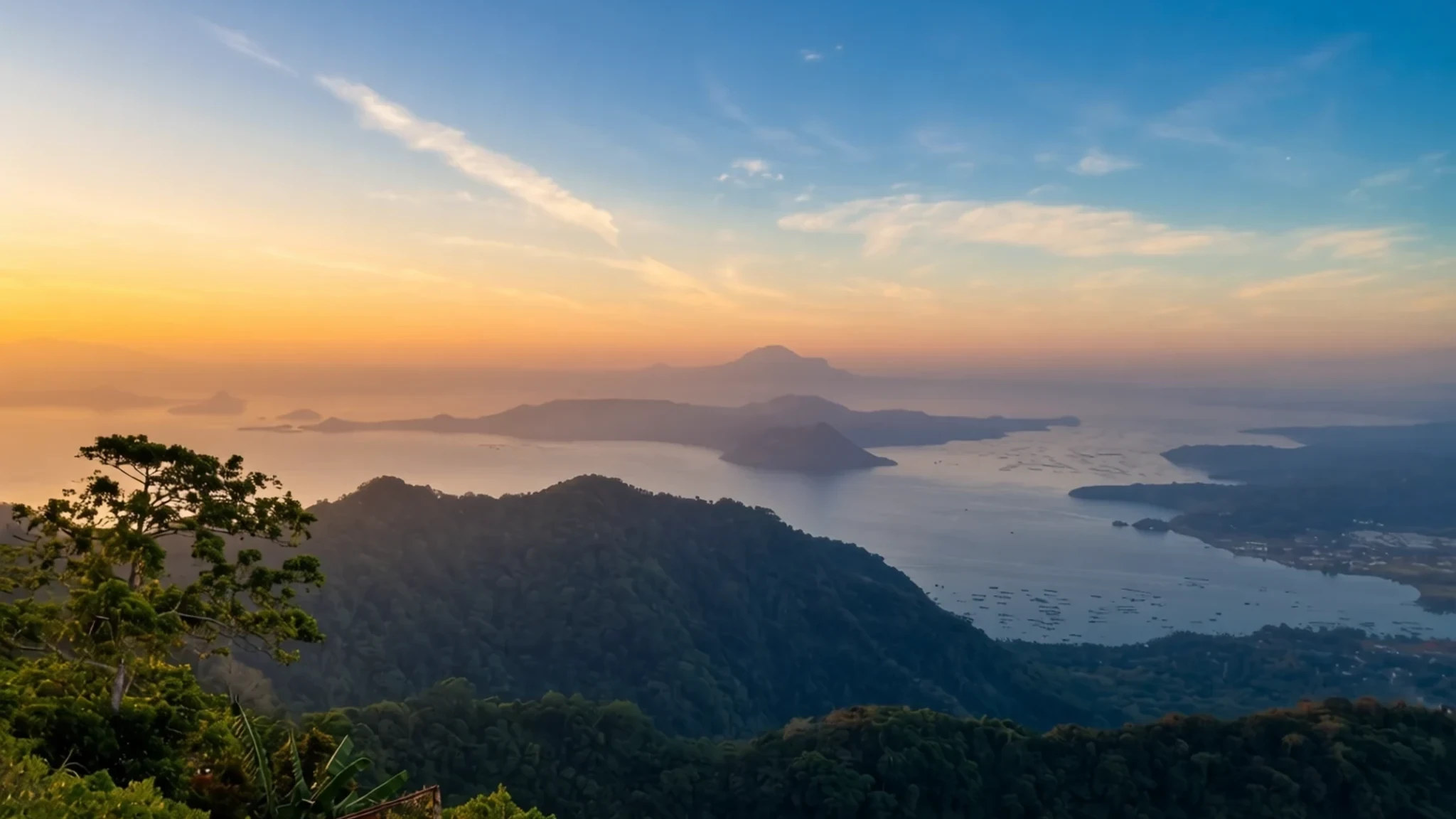
A lake inside a volcano inside a lake, reachable from Manila in a day for an unusual view of an active volcano.
The place
Taal Lake lies in Batangas province on Luzon, the island that holds Manila. It is a freshwater caldera lake, which means it fills the hollow left when a volcano collapsed after huge eruptions thousands of years ago. At about 5 metres above sea level, it is the third largest lake in the country, and near its centre sits Volcano Island, where the active cone rises out of the water. That cone has been recorded erupting 34 times since 1572. Only Mount Mayon has been more restless on that count, which puts Taal among the volcanoes scientists watch closely, partly because it stands so near populated towns. The volcano belongs to a chain built where tectonic plates meet, so the whole region is a product of slow, violent geology. The lake is more than one feature. Volcano Island holds a crater lake of its own, and the main lake takes sulphur from the island's gases. Ringed by farmland, resorts and roads climbing toward Tagaytay, the shoreline offers a patchwork of views, and on a clear morning the cone seems to float above the water. Most people experience the place as a day out. Boats leave from the towns of Talisay and Laurel on the north shore, while many visitors book package tours from Tagaytay. Peak season brings the heaviest traffic and fully booked tours, so an early start helps on every route.
Its story
Taal Lake was once an inlet of the sea. Boats could sail in from the nearby bay, and the water was salty. A run of major eruptions in the years before 1754 shook the lakeshore towns with earthquakes and showered them with volcanic debris. The largest of these, in 1754, dammed the Pansipit River with fallen material. That river had been the lake's only outlet to the sea, so the water had nowhere to go. The surface climbed to about 5 metres above sea level, and several towns on the shore were submerged. Over the centuries that followed, rainfall slowly diluted the salt, and the water became brackish and then fresh. The lake sits in the calderas of several volcanoes, and none of those neighbours has erupted for thousands of years. Taal Volcano, by contrast, is still active and carries the lake's history in its layers. The island's crater is a reminder that the story is not finished. Towns moved. The old centres of Lipa, Taal, Sala, Bauan and Tanauan were abandoned once activity eased, and their people rebuilt several kilometres from the shore. Newer settlements later split off from those parents: Talisay in 1869 and Laurel in 1969 are two of them. The remains of the submerged towns are reportedly still visible under the water.
What to see
- Yellow Lake and Vulcan Point, Volcano Island — Volcano Island, in the middle of the lake
Volcano Island holds a crater lake called Yellow Lake, and inside that lake sits a small islet named Vulcan Point. The islet itself is a third-order island, a nesting arrangement that is rare anywhere in the world. Access to the crater depends on current volcanic conditions, so check PHIVOLCS alerts and local guides before you plan the walk.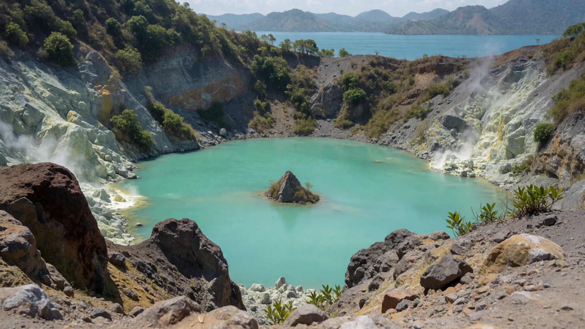
- The crossing from Talisay — Talisay, on the north shore
Most boats leave from Talisay on the northern shore. The crossing takes you over open water with the cone growing larger as you approach. Visiting Volcano Island has been forbidden since the 2020 eruption, and boats no longer land there, so the views back over the lake are best taken from the shore. Choose a boat operator with a clear fare, and wear a hat and sunscreen.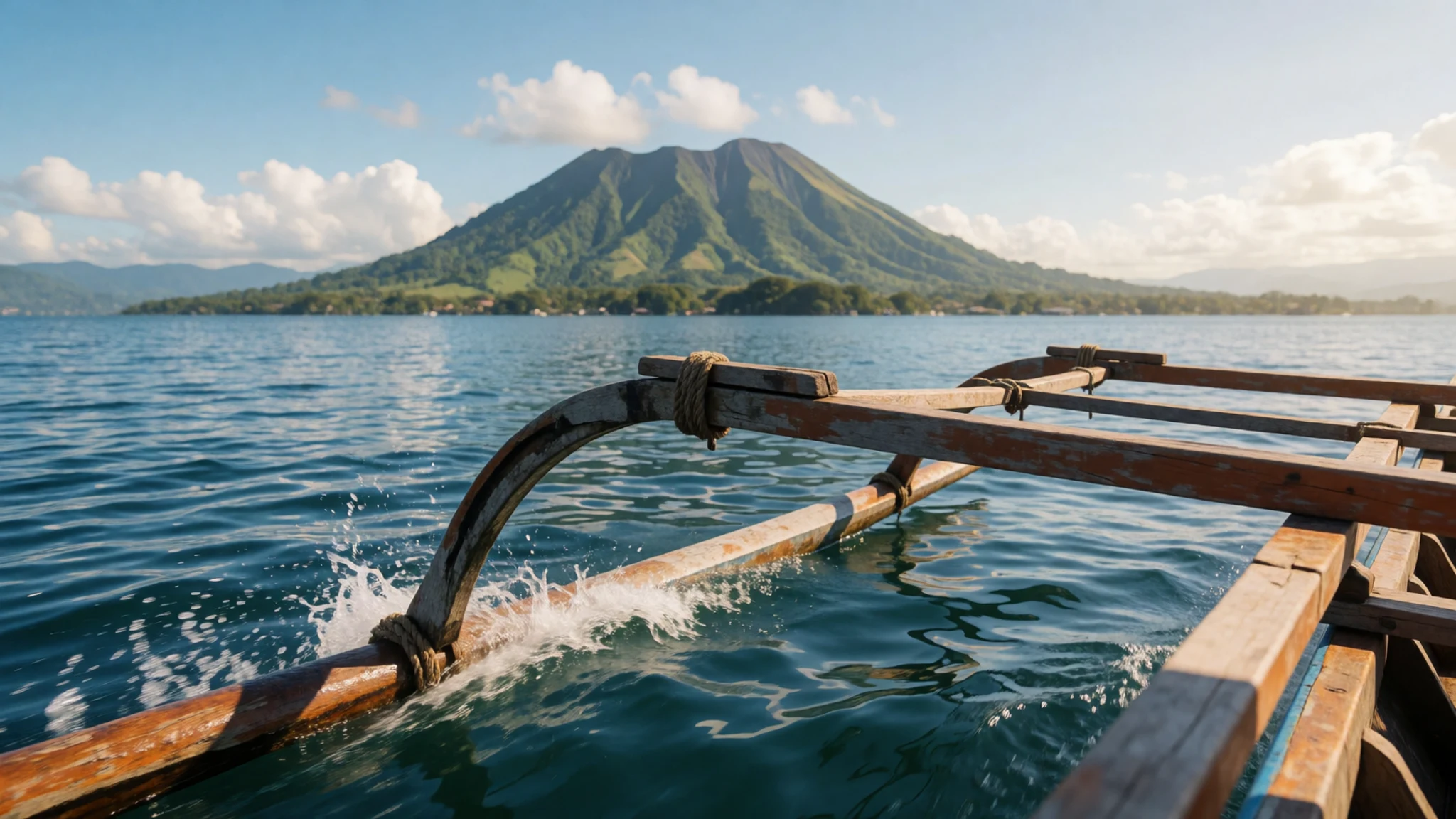
- Tagaytay ridge viewpoints — Tagaytay ridge, north of the lake
Tagaytay sits in Cavite on the mountain slopes north of the lake, and its ridge is the usual place to see the water and cone together. Many restaurants along the ridge have terraces, so a meal or coffee is a natural way to spend an hour. The air is cooler up here than on the shore, which helps on a hot afternoon.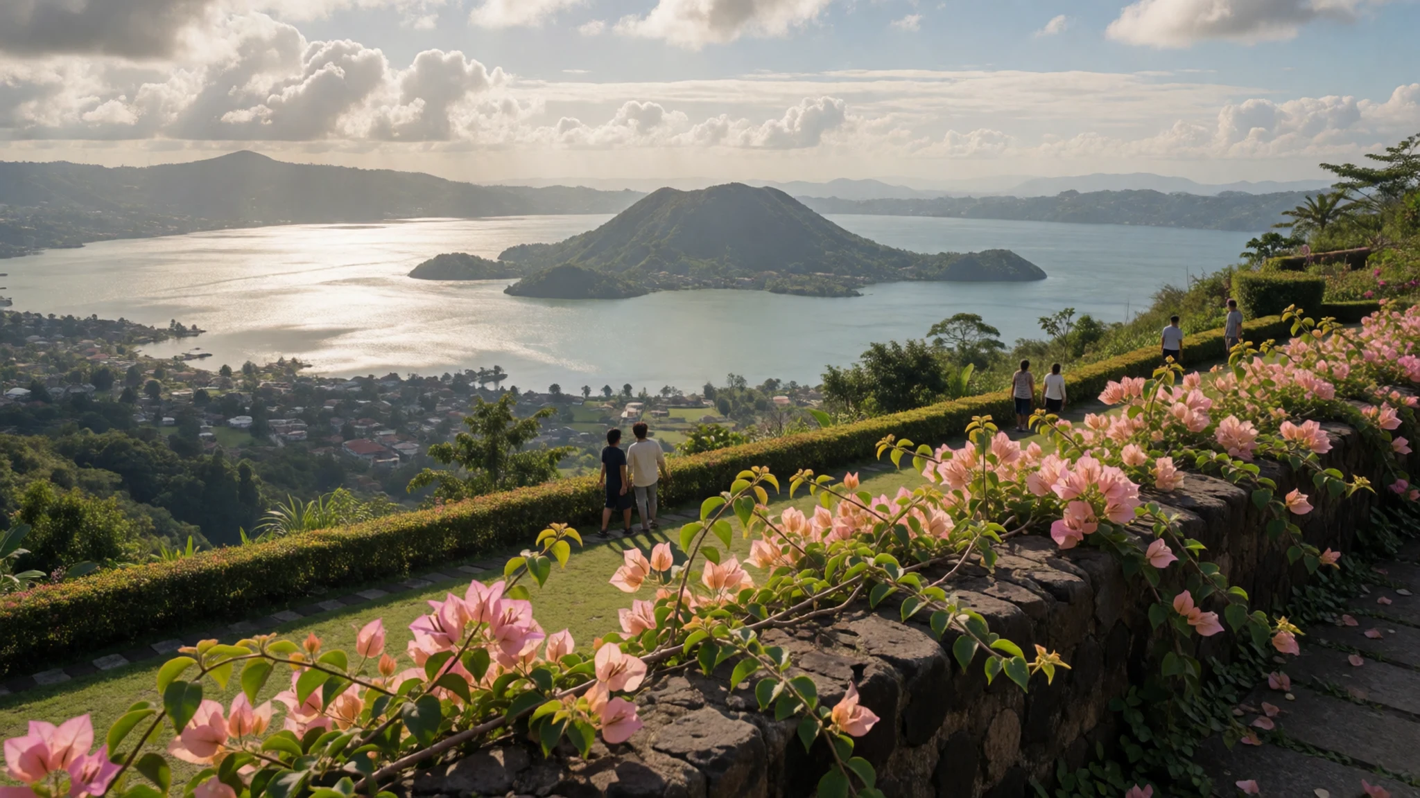
- The hills around Cuenca — Hills south of the lake, around Cuenca
Lesser hills to the south of the lake, around Cuenca, give quieter country walks away from the crowds at the boat landings. The landscape is largely farmland and small roads, and it is a good choice if you want a slower morning. Ask locals about trails before you set out, since maps for rural paths are patchy.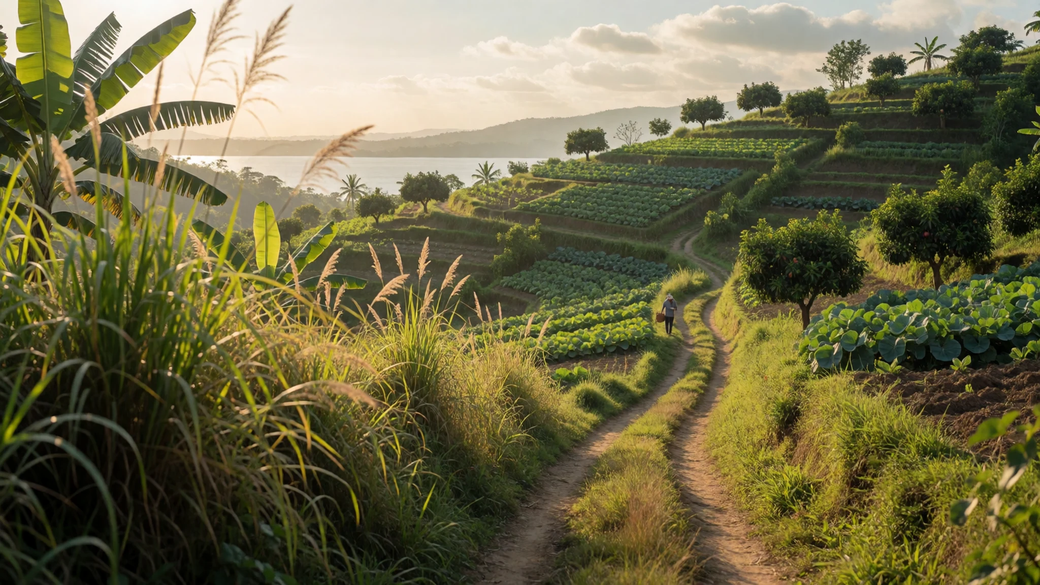
- Taal heritage town — Taal town, a short drive from the lake
Taal, a heritage town near the lake, is worth an hour between boat trips. Its old streets and church are easy to walk, and they show a settled town that was rebuilt after the eruptions. Go in the morning, when it is cooler and quieter, and ask at the church whether any service is in progress before you go inside.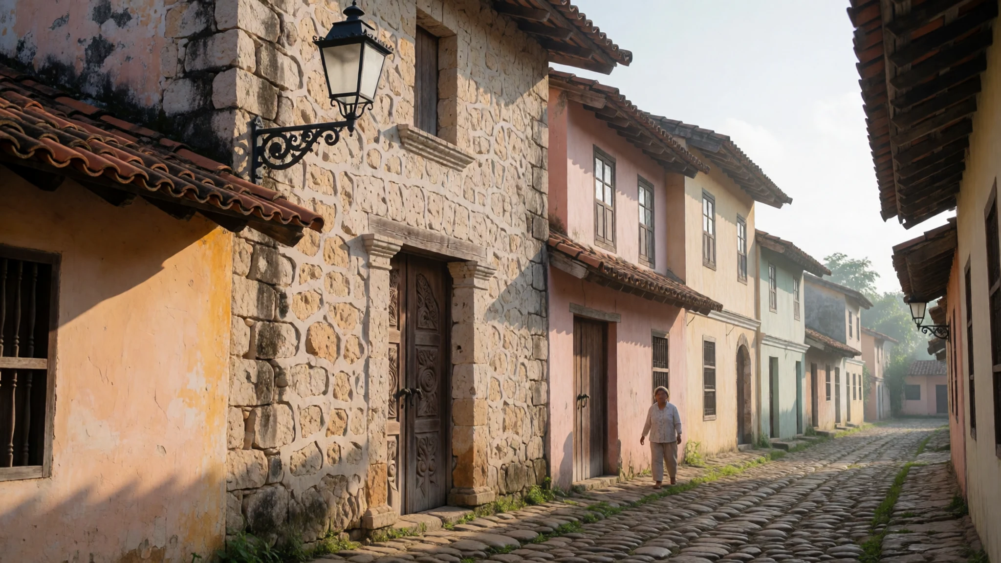
Culture
Taal Lake sits within a working landscape of fishing villages, farmland and resort towns. Most visitors meet it through a tour or a boat driver rather than through any formal programme. Daily life around the shore is shaped by the lake, the roads and, above all, the volcano. Local people take PHIVOLCS warnings seriously, and guides will adjust a plan when the advice changes. Their caution is part of how people here live beside an active volcano. Hospitality is part of daily life, and a polite greeting goes a long way before any negotiation. Agree the boat fare before you set off, and expect a friendly conversation about where you are from along the way. Dress is casual and practical, though a shirt with sleeves is a courteous choice when you enter a church. When you visit a village or a home, ask before photographing people, and accept a seat or a drink with thanks if it is offered.
What to wear
Taal Lake sits in Batangas, where the warm climate shapes what people wear and when they dress up. The barong Tagalog, a long-sleeved embroidered shirt worn untucked, is the best-known men's dress. Traditionally it was made from piña, a fine cloth woven from pineapple-leaf fibre, and jusi, a silk-like weave. The baro't saya, a blouse with a long wrap skirt, is the women's counterpart, and the terno, a dress with a fitted top and wide sleeves, appears at formal events. Day to day, most people wear simple, practical clothes: t-shirts, jeans, shorts and rubber slippers. The barong and the terno come out for weddings, graduations, christenings and mass on feast days. Many Filipinos dress carefully for church, so a neat look is appreciated there. For a visit, wear loose, breathable cotton, a hat and sunglasses, since the lakeside sun is strong and the boat crossing has little shade. Carry a light layer for the cooler air around Tagaytay. Choose closed shoes with grip for the volcano walk over loose rock, and bring long trousers or a sarong if you plan to enter a church, covering shoulders and knees.
What to eat
- Bulalo — Restaurants on the Tagaytay ridge
Bulalo is a clear, slow-simmered soup of beef shank with the marrow still in the bone, served with rice and vegetables. The dish is closely linked to the Tagaytay ridge, where restaurants with lake views serve big pots at lunchtime. Eat it slowly, and ask for extra rice.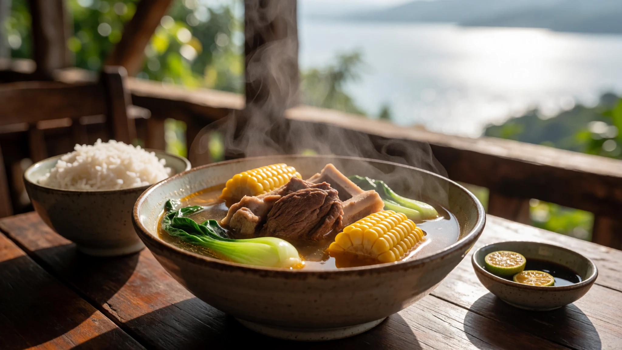
- Kapeng barako — Coffee stalls in Batangas towns and the market near the landings
Kapeng barako is a bold, dark local coffee that Batangas is known for. It is brewed strong and often served sweet, sometimes with a little sugar stirred into the cup. Look for it at coffee stalls around the towns and in the market near the landings.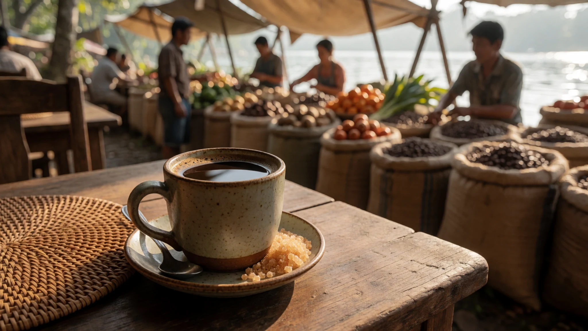
- Batangas lomi — Small eateries in the lakeside towns
Lomi is a thick, egg-enriched noodle soup in a starchy broth, often topped with spring onion and crisp pork bits. The Batangas version is a breakfast or merienda favourite. Find it at small eateries in the towns around the lake, especially in the morning. - Tawilis — Lakeside fish stalls at the landings
Tawilis is a small freshwater fish that lives in this lake and is commonly sold fresh, fried or grilled at lakeside stalls. It is small enough to eat whole when fried crisp. Ask the price before you order. - Halo-halo — Merienda stalls and cafés on the Tagaytay ridge
Halo-halo is a layered dessert of shaved ice, sweet beans, fruit, jelly and evaporated milk, topped with purple yam ice cream. It is a midday treat for the heat. Order it at a merienda stall or café in Tagaytay, where the ridge is cooler.
Plan it
Best time. February to April is the drier season, when the lake and volcano are easiest to see and the roads are drier. Expect heat and humidity at lake level all year, and check PHIVOLCS for current alerts, since volcanic conditions can change access rules at short notice.
How long. 1–2
Getting there. Fly into Manila, then drive south towards Tagaytay or Talisay. The last leg to Talisay is by road, via Talisay-Tanauan Road from the STAR Tollway at Tanauan. From Batangas City, the nearest seaport, public transport runs to the jump-off towns.
Budget. mid
Tips
- Book boat arrangements ahead in peak season, when tours can sell out
- Start early: mornings are calmer on the water and the cone is usually clearer
- Pack N95 masks and plenty of water, because volcanic gas can irritate eyes and throat
- Check PHIVOLCS alerts the day before and again on the morning you travel
- Carry cash for boats, horses and small eateries, since the landings rarely take cards
Etiquette
- Keep to marked paths and follow your guide on the volcano, especially near vents
- Ask before photographing people, particularly at lakeside homes
- Agree the boat or horse fare before you set off
- Stay behind the barriers at the crater edge
Nearby
Sources
- Wikidata Q537695 (CC0)
- Wikipedia: Taal Lake (rev 1378554203) (CC BY-SA 4.0)
- Wikivoyage: Taal Lake (rev 5281481) (CC BY-SA 4.0)
- Photo: Taal volcano crater lake, Tagaytay, Philippines — Sophie Zelazny (CC BY-SA 4.0)
- Photo: Taal Lake vicinity — Roel Balingit (CC BY 3.0)
- Photo: Taal volcano blanket ash, ESA435812 — European Space Agency (CC BY-SA 3.0 igo)
- Photo: Panorama of Lake Taal and Volcano — Ray in Manila (CC BY 2.5)
- Photo: 'Til we meet again — Drake Lancelot (CC BY-SA 4.0)
- Photo: A very Scenic View in front of Taal Lake — Anzu.devera.07 (CC BY-SA 4.0)
- Photo: A view of Taal Volcano from Tanauan, Batangas — micluna (CC BY-SA 4.0)
- Photo: Balete, Batangas — Ramon F. Velasquez (CC BY 3.0)


