Slieve League
Slieve League, Ireland
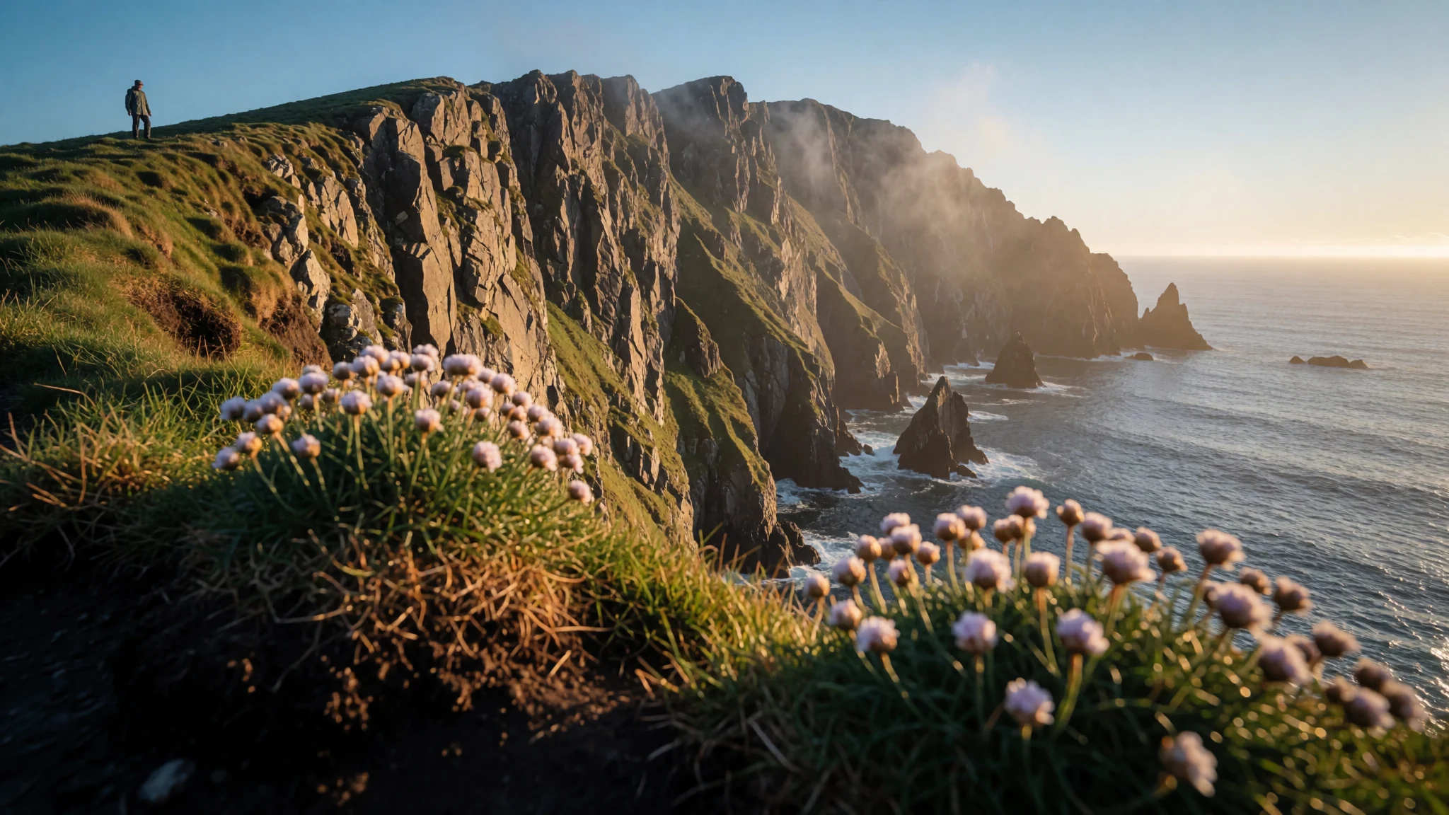
Slieve League's sea cliffs drop almost straight into the Atlantic, and the walk and views are best saved for settled, clear weather.
The place
Slieve League sits on the Atlantic coast of County Donegal, in the north-west of Ireland, where the land stops at a line of cliffs. The mountain rises to 601 metres, and its sea cliffs rank second in Ireland, after Croaghaun, and are among the highest in Europe. Donegal is a large, thinly populated county, further north than any part of Northern Ireland. Glaciers cut its coast into long lough inlets and fjords, and much of the interior is bog and rough hill. The seaward face is dark, broken rock, with stacks and gullies below the summit, and on a clear day the light moves over the water for hours. Most visitors come by car, since the final stretch of road to the viewpoints is narrow and runs along a drop. The northern side is a different world: a steep fall into a hollow holding a small lake and a cluster of alpine plants that naturalists value. The summit ridge is a walk for experienced hillwalkers, but cloud and wind can change conditions quickly. Those who plan for changeable weather tend to have the best day there.
Its story
Slieve League's history is bound up with the history of Donegal's coast. The name, Sliabh Liag in Irish, refers to the stone pillars the sea has left along the cliffs. For centuries the county was hard to cross overland, because bog and hill made the sea the easier road. Coastal communities fished, and early Christian leaders founded monasteries along the shore. Viking raiders later sailed up the long inlets and settled, which gave the old settlement its Irish name, Dún na nGall, meaning Fort of the Foreigners. They were pushed out in the 11th century, and the area passed under Gaelic rule, with clans such as the Uí Neill and the Ó Domhnaill shaping its politics. Robert Lloyd Praeger, the Irish naturalist, wrote about the mountain in his memoir, describing a summit ridge that needs a steady head and a northern face full of rare alpine plants. Later, the coast was dotted with watchtowers and guns built against Napoleon, and the best-preserved of them stand on Lough Swilly. Today the mountain draws walkers, photographers and anyone who wants to see the Atlantic from a height. Its story is one of land and sea shaping each other, and the cliffs still look as though the ocean is winning.
What to see
- The Slieve League cliffs — Southern face, Atlantic coast
The cliffs are the reason most people come. The sea has cut the southern face into a near-vertical wall of dark rock, broken by stacks and gullies. Light is kinder in the morning, when the sun falls on the face rather than into your eyes. Watch the wind near the edge, and keep well back from the drop, because grass that looks solid can give way.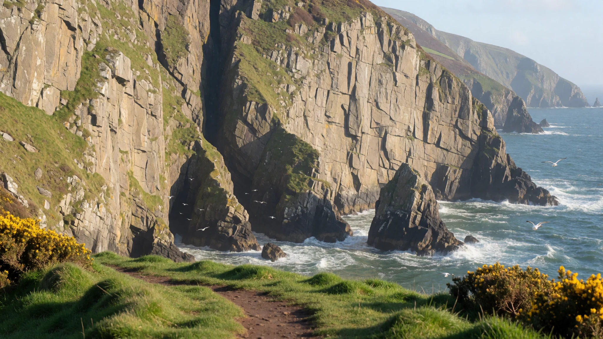
- The One Man's Path ridge — Summit ridge above the cliffs
The One Man's Path is a summit ridge with sea on one side and a steep drop on the other. Confident walkers can cross it in good conditions, but it is not a stroll. Choose a clear, still day, because cloud can roll in and hide the path entirely. Carry waterproofs, a map and enough water, and turn back if visibility drops.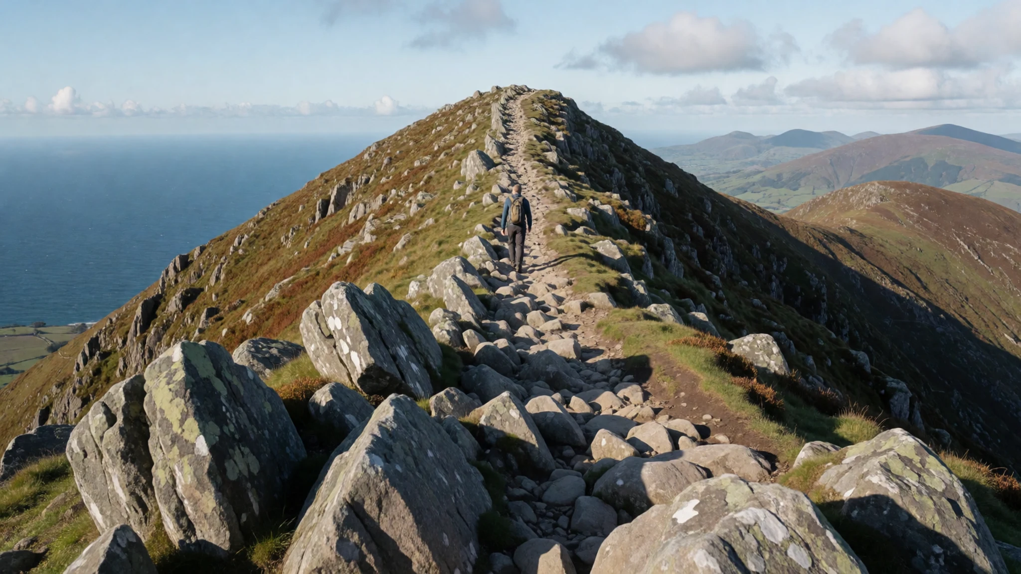
- Bunglass viewpoint — End of the Teelin road
Bunglass is the viewpoint most photographs of Slieve League are taken from. It lies at the end of the narrow road from Teelin, and the final kilometres run along the cliff edge with several bends at the crest of rises. Pull in only where there is space, and do not block the single lane. Early or late in the day the light is softer and it is quieter.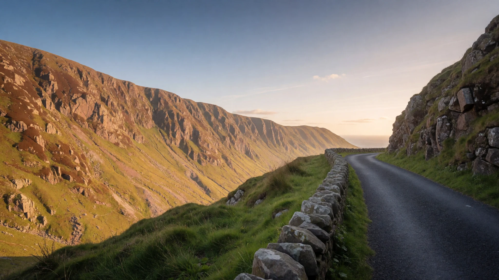
- Glencolmcille folk village — Glencolmcille, south-west Donegal
Glencolmcille folk village is a set of reconstructed cottages showing how families in this part of Donegal lived in earlier times. Check the official site for opening days and times, since they change with the season. It suits a slower afternoon, after a morning on the cliffs.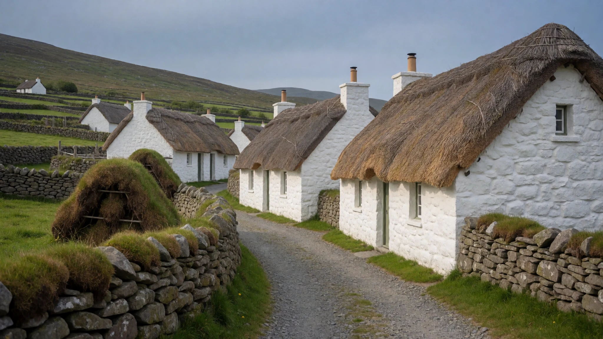
- Killybegs harbour — Killybegs harbour, south-west of the mountain
Killybegs is a busy fishing port on the Donegal coast, and its harbour is the place to see the working side of the county. Boats come and go, and you can watch them unload from the quay. Go in the morning, when the catch is landing. Please keep off working areas and give the crews room.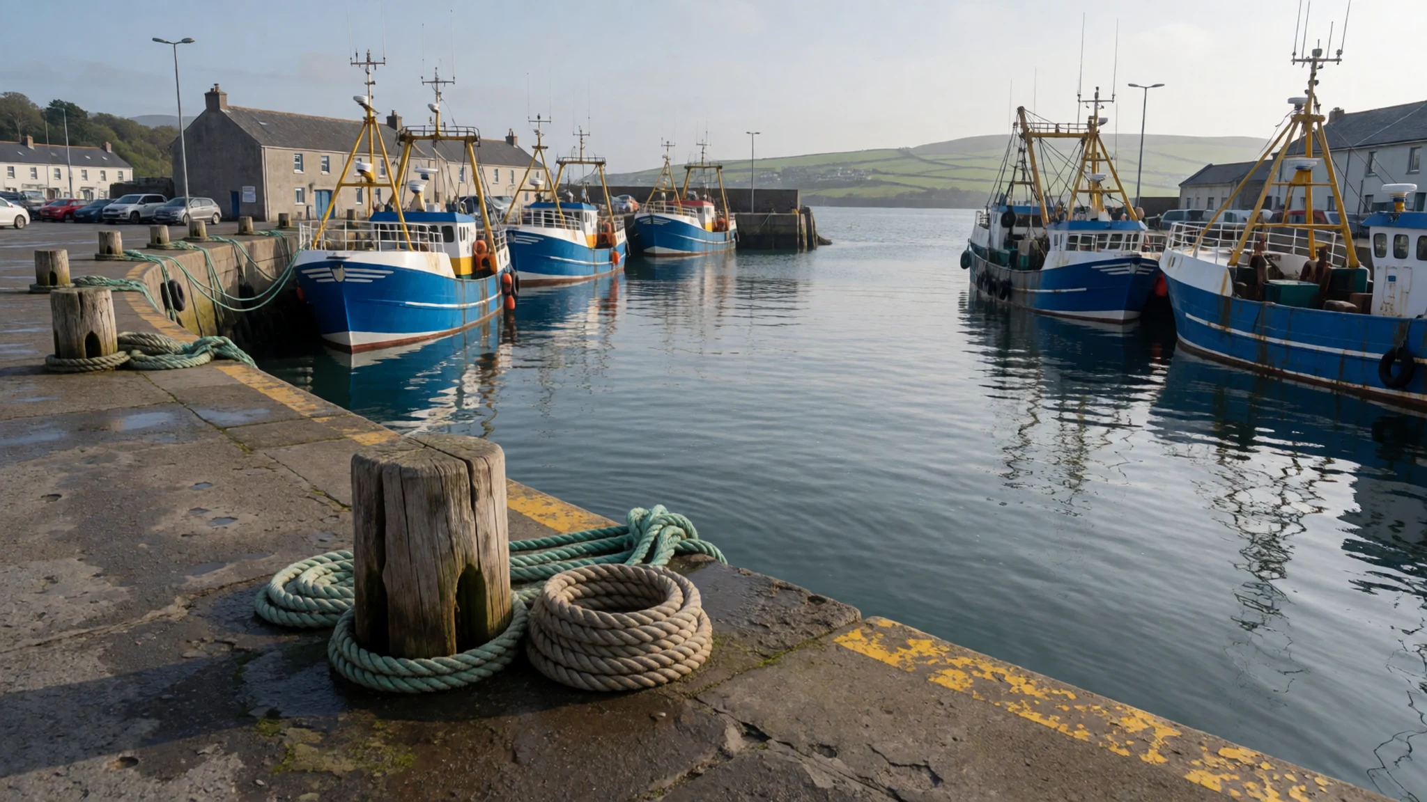
Culture
Slieve League is a working hill as much as a viewpoint. Sheep graze the lower slopes, and the farms and small fields along the approach road are still in use. Irish is spoken in parts of Donegal, and many place names carry Irish meanings, so bilingual signs are worth reading slowly. In the evening, pubs and hotel bars across the county often host trad music, and the sessions are relaxed rather than staged. Listen first, and ask before recording a musician. Locals talk about the weather before anything else, and they are right to: hillwalking here depends on weather and visibility, so check the forecast and turn back when cloud comes down. Close gates behind you, and keep dogs on a lead near the sheep. Stay back from the cliff edge, because the drop is sheer and the grass often hides where it begins.
What to wear
Traditional dress in Donegal was built around wool and weather. Families spun and wove heavy cloth, and hand-knitted jumpers were worn by fishing crews and farmers alike. The county's best-known textile is Donegal tweed, a thick woven wool that became known well beyond the county. Its practical roots still show in the way it is cut and worn. Today people dress much as they would anywhere in Ireland: jeans, fleeces, waterproof jackets and sturdy boots, with a tweed cap or scarf added for the coast. Tweed appears at weddings, funerals and festivals, and in shops across the county. For a visit to Slieve League, dress in layers. Bring a windproof and waterproof outer shell, a warm midlayer and gloves, because the wind on the cliff top can feel cold in any month. Choose boots with good grip for wet grass and rock. Pubs and restaurants are casual, so formal wear is unnecessary, though a clean jumper is welcome in hotel dining rooms.
What to eat
- Seafood chowder — Harbour-side cafés and pubs in Killybegs
Seafood chowder is a Donegal staple, and Killybegs, a busy fishing port, is a good place to try it. Look for a harbour-side café or pub, and ask what came in that day. Expect a creamy broth with fish and shellfish.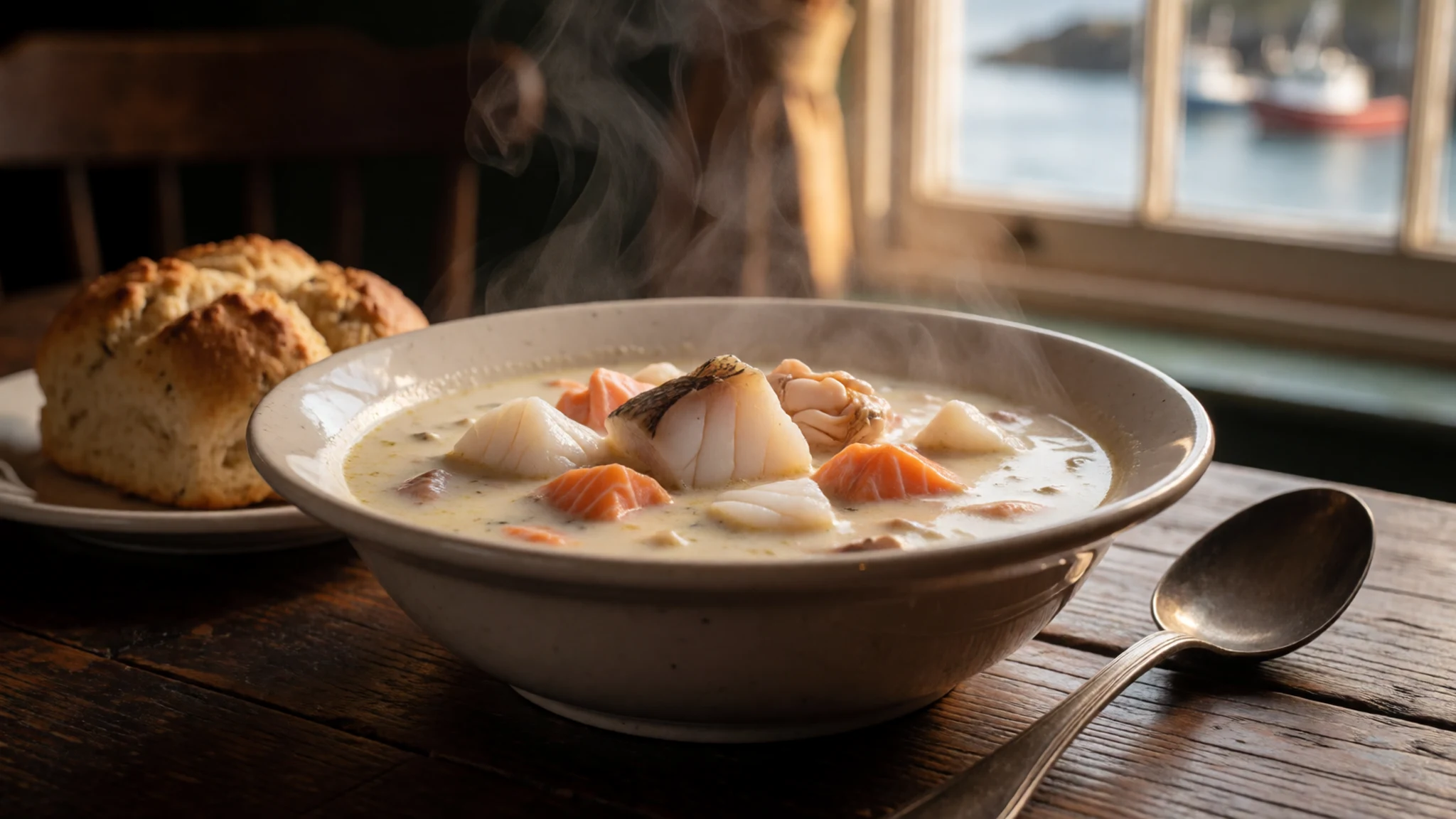
- Pub grub — Any village pub with a view
Pub grub is often the best bet in the villages, especially where there is a good view. Expect hearty plates like fish, stews and roasts. Eat early, because small kitchens can close sooner than you expect.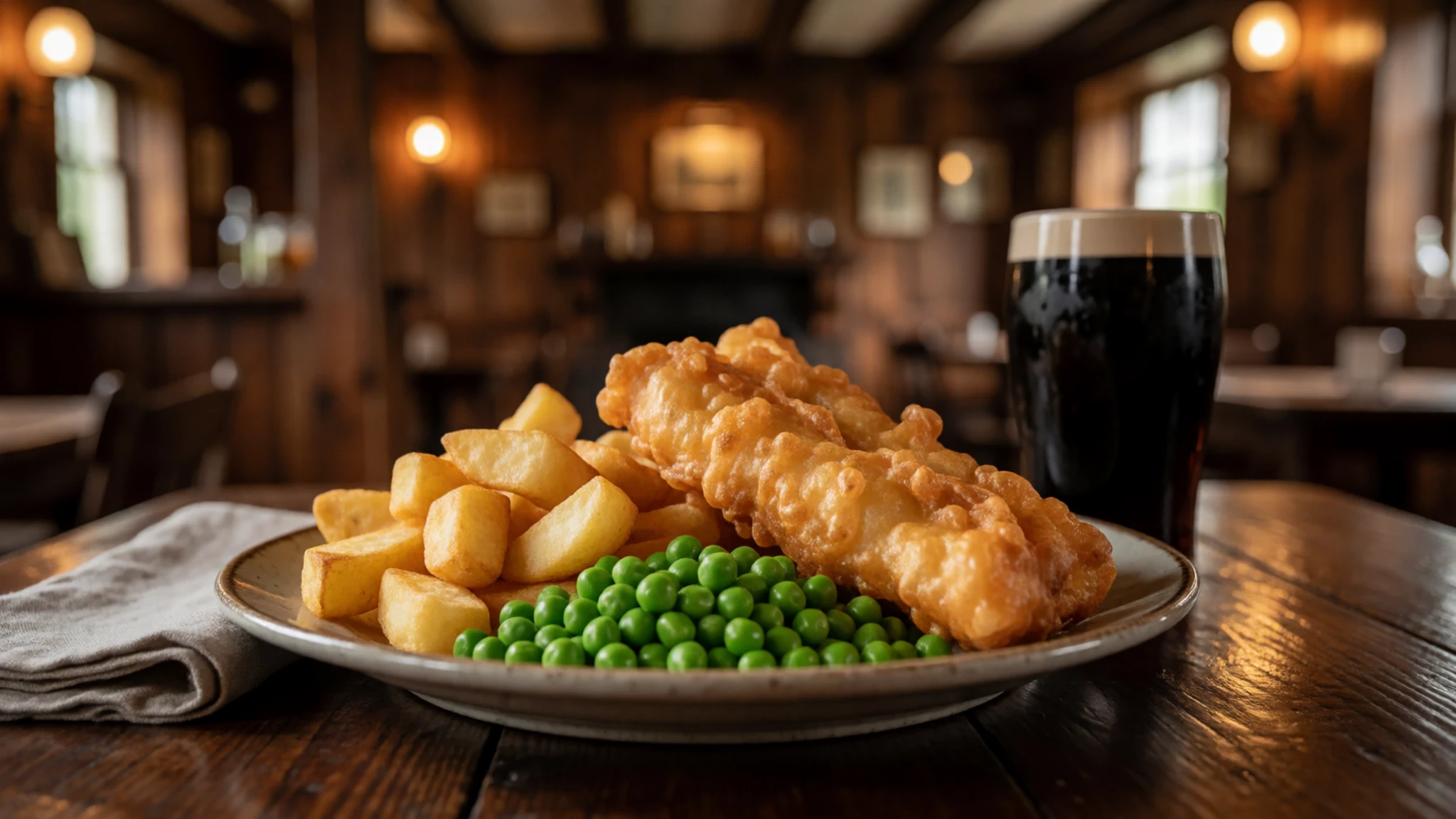
- Country-house dining — Country-house hotels on the Fanad Peninsula and near Letterkenny
For a splurge meal, try the upmarket hotels in country houses such as Rathmullan and Rockhill House. Prices run higher, but the menus are often wider. Hotel bars keep late hours only for residents, so book ahead. - Ardara gin — Ardara, a village on the west coast
Ardara has a gin distillery, a good stop for a bottle to take home. Check the producer's website before you go. Donegal also has a whiskey distillery at Crolly, near Dungloe, so a spirits trip can cover two. - Letterkenny craft beer — Micro-brewery and bars in Letterkenny
Letterkenny has a micro-brewery, and it is the easiest place to try local craft beer. Pick a pint of the house beer, or ask for a tasting flight if they offer one. Letterkenny also has the widest choice of cuisines in the county, mostly cheap and cheerful.
Plan it
Best time. May to September brings the longest days and the best chance of clear air, with late spring and early autumn quieter than midsummer. Winter is wet and windy, with short days and cloud that can hide the cliffs for days. Check the forecast for visibility before you commit to the ridge.
How long. 2–3
Getting there. Donegal Airport (CFN) has flights from Dublin and Glasgow, and car hire on site; City of Derry Airport (LDY) is about 35 minutes by road from Letterkenny. The county has no railway, so Letterkenny is the bus hub from Dublin, taking about 4 hours, and the last leg to Teelin is by hire car or taxi.
Budget. low
Tips
- Hire a car, because buses reach the main towns but the last stretch to the viewpoint is best covered by car
- Check the forecast and visibility the day before, and choose a clear morning for the ridge
- Start early for better light and a space in the viewpoint car park
- Carry cash as well as cards, since small villages and shops may not take cards
- Bring water, a map and waterproofs, as there are no facilities at the top
Etiquette
- Stay behind fences and off the grass at the cliff edge
- Pull in only where there is space, and leave the narrow road clear
- Respect working boats and harbour areas at Killybegs
Nearby
Sources
- Wikidata Q1120038 (CC0)
- Wikipedia: Slieve League (rev 1369713823) (CC BY-SA 4.0)
- Wikivoyage: County Donegal (rev 5364036) (CC BY-SA 4.0)
- Slieve League, Ireland, Tony Webster (CC BY 2.5)
- Slieve League, Ireland, Tony Webster (CC BY 2.5)
- Slieve League eastern end, Brholden (Public domain)
- Eastern end of Slieve League, Wilson44691 (CC0 1.0)
- Cliff of Slieve League, Chmee2 (CC BY-SA 1.0)
- Cliffs of Slieve League, Jon Sullivan (Public domain)
- Panorama of Slieve League, Superbass (CC BY-SA 4.0)
- Pilgrim's Pass, Slieve League, Superbass (CC BY-SA 4.0)


