Siargao
Siargao, Philippines
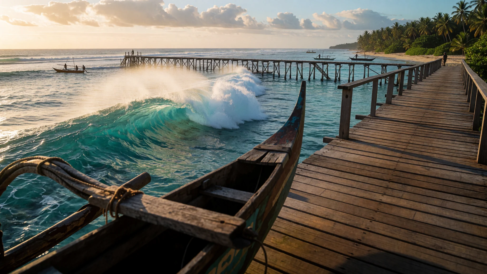
Siargao is a teardrop of an island whose surf breaks, reef-fringed coast and easy pace have made it the Philippines' surfing capital.
The place
Siargao is shaped like a falling droplet and lies in the Philippine Sea, just off the north-eastern coast of Mindanao. Its land area is about 437 square kilometres. Its east coast runs almost straight, broken only by the deep inlet of Port Pilar. Everywhere else the shoreline is a sequence of reefs, small headlands and white sand beaches, and the smaller islets around it share the same make-up, so the whole area reads as one long stretch of coast.
Administratively the island belongs to Surigao del Norte province and is divided into eight municipalities. Dapa is the main port town, while General Luna is the village closest to most of the surf breaks and has become the centre of the island's visitor life. Surfing shapes the island's sense of itself to a degree that is hard to overstate: a national surfing competition held here once became the subject of a public quarrel between two political families.
The west coast is quieter. Around Del Carmen lies one of the larger mangrove reserves on Mindanao, a network of tidal channels and wetlands that also supports the Indo-Pacific crocodile. Long stretches of shallow water have been noted as possible ground for seaweed farming. Wind and current arrive across the open Pacific with little to stop them, and the Mindanao current runs west through the Siargao Strait, so the sea here is rarely still.
The island has a population of about 200,000, and the mix of farming, fishing and tourism is visible on almost every road.
Its story
Siargao's story starts on the sea lanes. Song dynasty records and archaeological finds from the Surigao Treasures, which include Hindu and Buddhist objects, show that the island sat on routes linking distant markets. A Visayan trade alliance, called the Kalaga Putuan Crescent or Rajamandala, worked as a market hub through which spices from Ternate, silk from China, sandalwood from East Timor, gold from Caraga, goods from Indochina and camphor from Brunei passed. The alliance was centred on the Rajahnate of Butuan, just to the south-west of Siargao, and it was at its strongest in the 1000s before neighbouring Visayan kingdoms overtook it.
European contact came later. In 1543 the Spanish navigator Bernardo de la Torre, sailing back from Sarangani toward New Spain, sighted the island and recorded it as Isla de las Palmas, the Palm Island. The name hints at what sailors saw from the water: a low green coast crowned with trees.
When Spain placed the island under the administration of the Caraga region, it reinforced the defences with soldiers and settlers from Mexico. Some of these Mexican soldier-colonists became heads of households, and their presence in the seventeenth century left a thin but lasting thread in the island's records.
Today the trade routes and colonial garrisons survive mostly in archives and museum cases. The island's wealth now lies in its surf, its fishing grounds and its mangroves, although the old shipping lanes explain why Siargao has long been a place where outsiders arrive, trade and settle.
What to see
- Magpupungko Beach — Pilar, north of the main surf villages
Magpupungko Beach in Pilar is a shoreline that changes character with the tide. The high-tide view shows waves reaching the rocks and the sand narrowed to a thin strip, the beach at its most dramatic. Lower water exposes more of the reef and rock shelves, which is when visitors usually walk out to explore. Check the tide before going, because the beach looks very different at each stage of the day.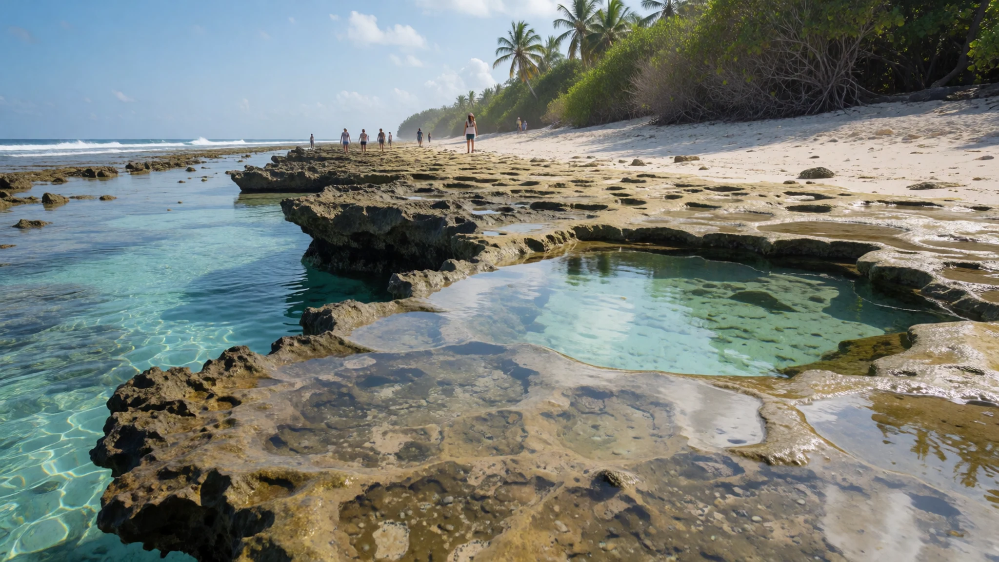
- Surf breaks around General Luna — General Luna and the surrounding coast
The island's reputation rests on its surf, and the breaks around General Luna are the ones most visitors reach first. The village sits a short drive from the main spots, and beginners and experienced surfers share the same stretch of coast at different points along the reef. Reef cuts are the main health risk here, so reef booties and prompt cleaning of any wound are standard advice. Arriving early tends to mean fewer people in the water.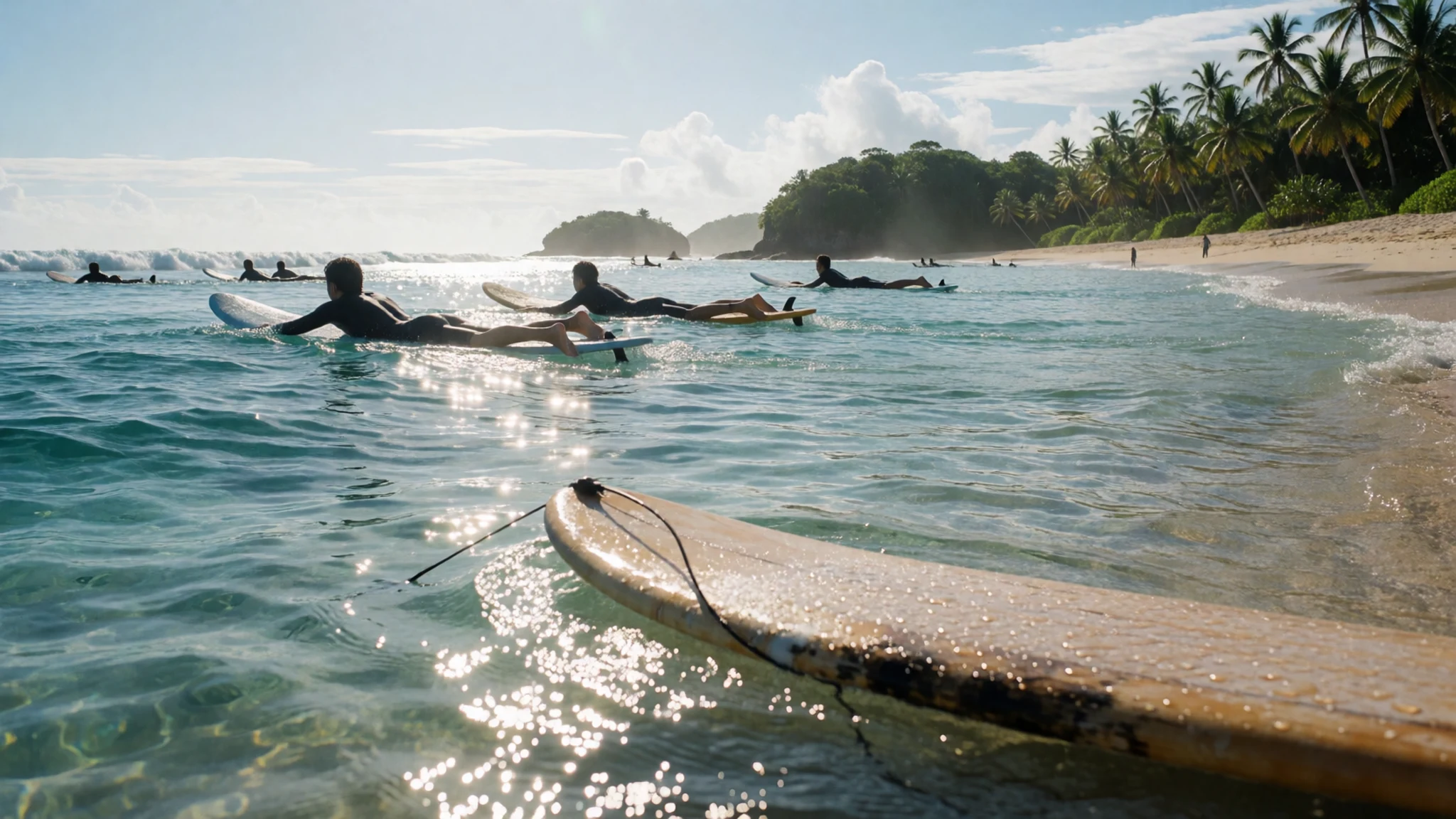
- Fat Lips Surfshop — East coast
Fat Lips Surfshop sells new and used surfboards, rents boards and stocks surf apparel and accessories. It also arranges island hopping and other tours, which makes it a practical first stop for a day on the water. The shop is listed on the island's east coast, away from the busiest village streets, and it suits anyone who needs gear before heading out.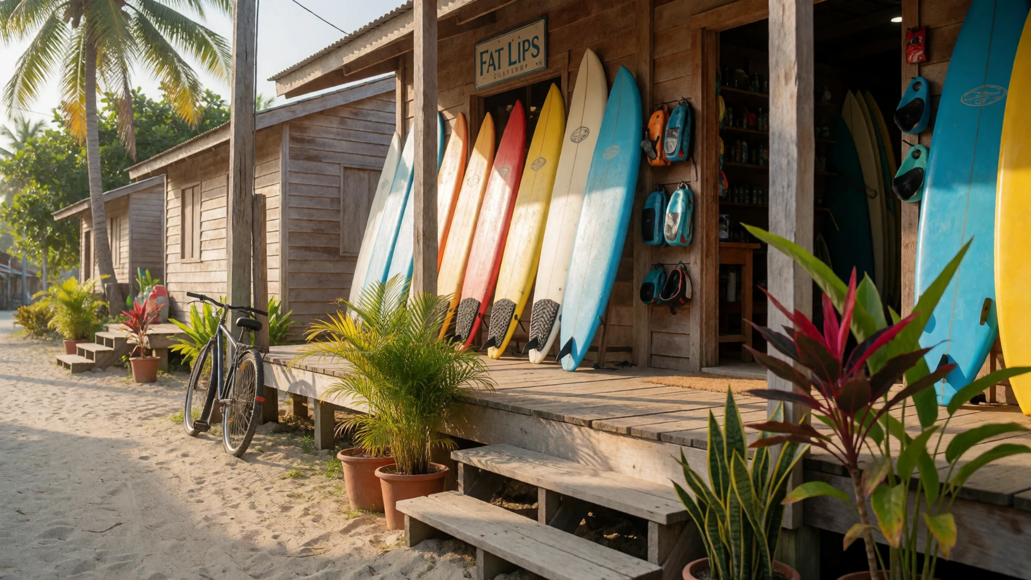
- Del Carmen mangroves — Del Carmen, west coast
The mangrove reserve in Del Carmen is one of the larger tidal forests on Mindanao. It is a world of roots, channels and mudflats, and it supports the Indo-Pacific crocodile. Because crocodiles live in these waters, a local guide makes far more sense than setting off alone in a small boat. Go at a time when the tide lets the boat move easily through the channels.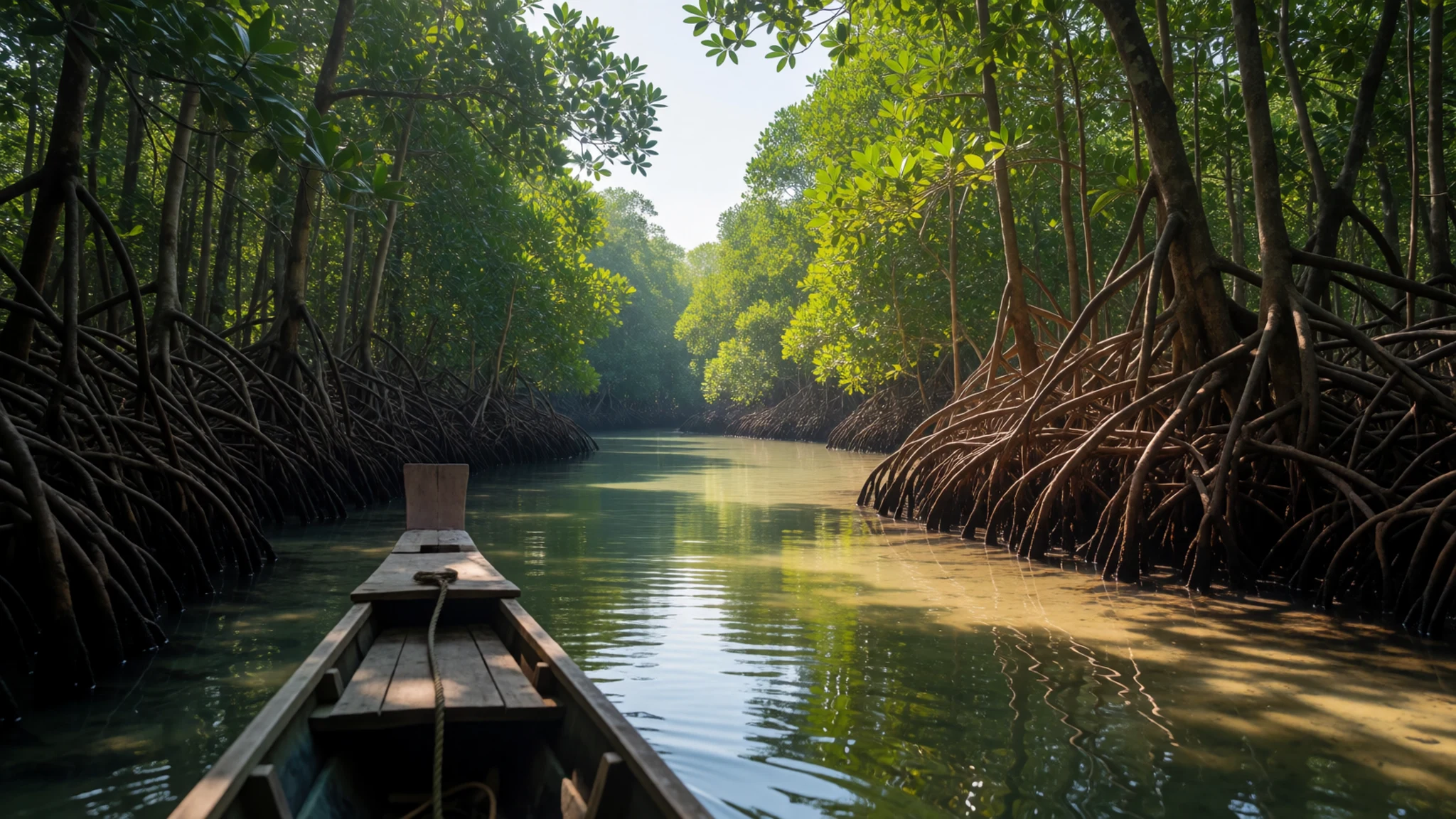
- Port Pilar — Pilar, east coast
The deep inlet of Port Pilar cuts into the otherwise straight east coast and gives the water beside it a calmer character than the open beaches. It is the kind of place where the island's fishing life is easiest to see, with boats coming and going at the water's edge. Pilar is a quieter municipality than General Luna, so the pace is slower and the roads are less busy.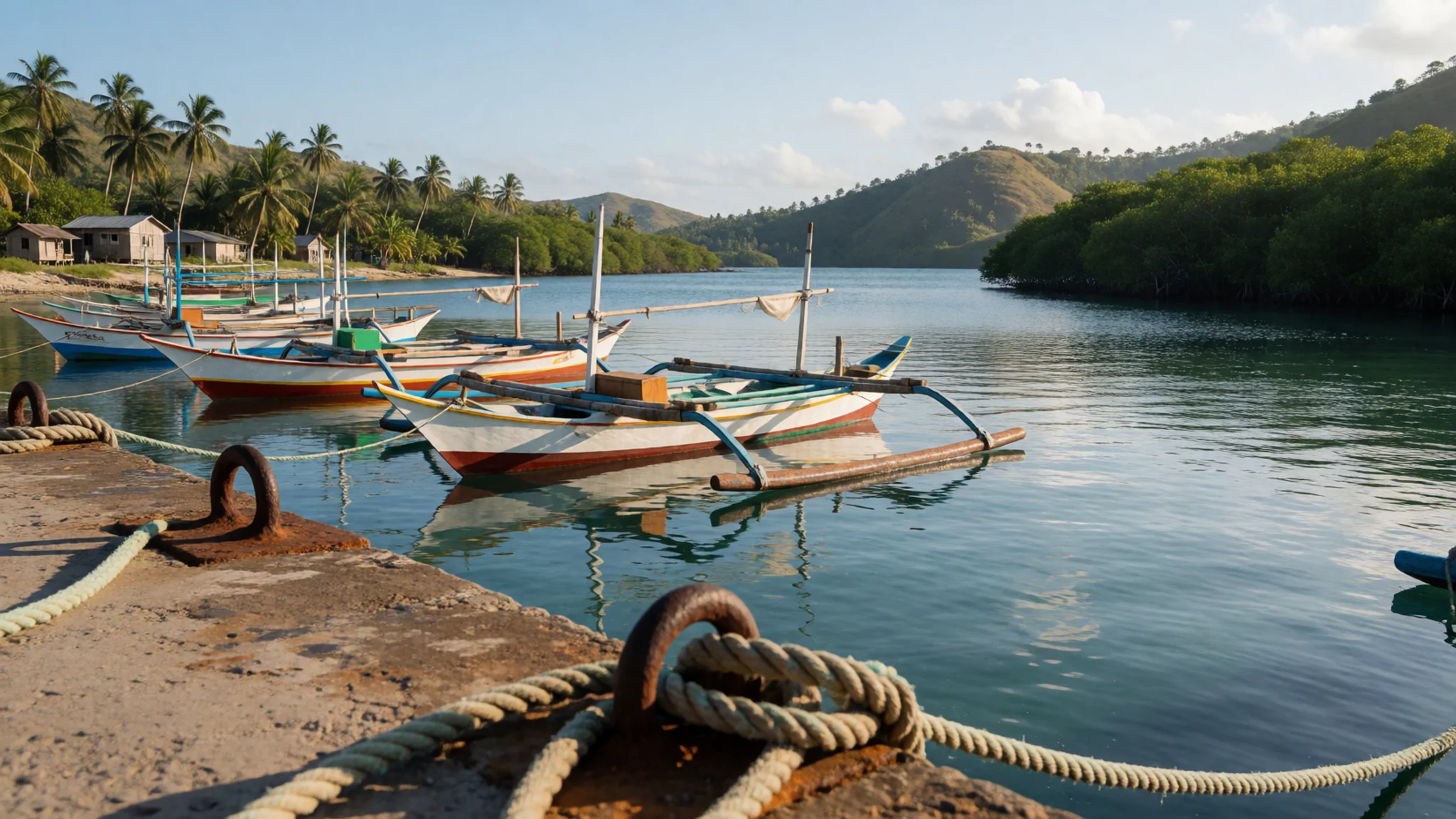
Culture
Life on Siargao runs on fishing, farming and a growing tourism trade, and the island's sense of community shows most clearly in the villages rather than the resort strips. Surfing has become part of local identity as well as a draw for visitors, so surfers from abroad share the water with local riders and should follow the same right-of-way customs. Hospitality is warm and conversation tends to be unhurried, and a greeting goes a long way in a small shop or while waiting for a tricycle. Violent crime is very rare, but petty theft happens in poorer areas, so keep valuables out of sight on beaches and in shared transport. Reefs are sharp and cuts become infected quickly, so covering wounds promptly matters as much as anything else. Dress is relaxed on the coast, but covering up when walking through villages is appreciated. Ask before photographing people at work on the fish landings, and leave the reef and beach as clean as you found them.
What to wear
Siargao has no dress of its own that visitors are likely to see in daily life, so the traditional textiles that matter most come from elsewhere in the Philippines. The barong tagalog is an embroidered shirt from the Tagalog regions of Luzon, worn at formal occasions, and it is traditionally made from piña, a cloth woven from pineapple fibre. The terno is a fitted gown with broad, puffed sleeves. Both are worn for weddings, official events and festivals rather than everyday life.
Day-to-day dress on the island is practical. Shorts, sleeveless tops, sun shirts and rash guards are everywhere on the beach, while people in villages and at markets tend to wear t-shirts, shorts or simple cotton dresses. Surfers wear rash guards and reef booties, and many locals ride habal-habals in flip-flops with a towel around their necks.
For a visitor, the heat calls for light, breathable cotton or linen, a hat, sunglasses and high-factor sun cream. Swimwear is fine on the beach, but a light cover-up is respected in villages and at town markets. Sturdy sandals or closed shoes help on rocky reef edges and on the walk to a surf spot, and reef booties protect the feet against cuts. Carry a light layer for air-conditioned vans and ferries.
What to eat
- Grilled fresh fish — the pier stalls in Dapa, the main port town
Fish is cooked simply over charcoal, usually with a little salt and a squeeze of calamansi, and served with rice. It tastes best when it was caught that morning and grilled while still firm. Look for stalls near the pier in Dapa, where the day's catch is sold and cooked on the spot.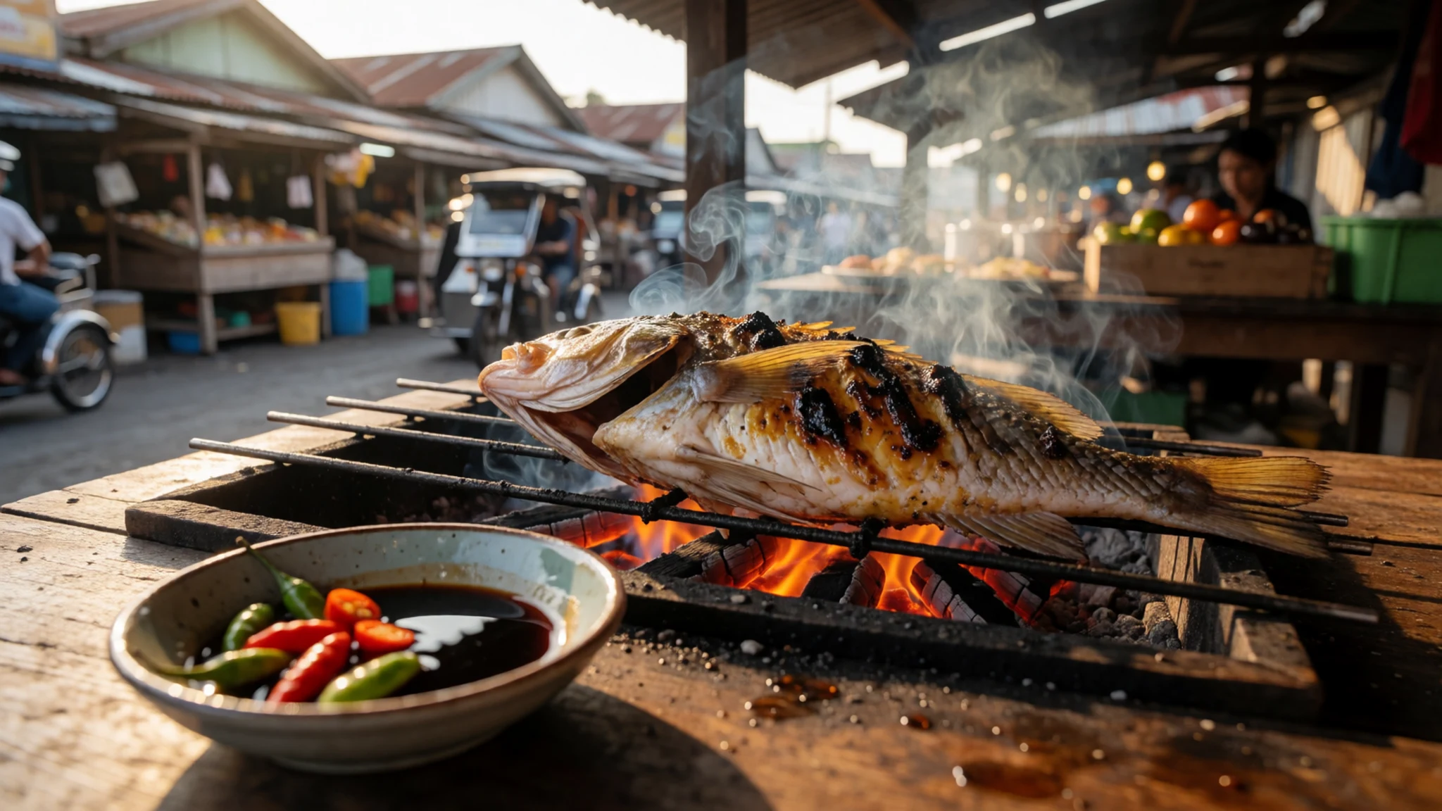
- Prawns and crab — seafood cafes in Dapa and the General Luna area
Shrimp and crab are the seafood most cafes on the island offer, often cooked with garlic or in a simple butter sauce and eaten with the hands. Ask what came in that day and how the price is set, since the menu can change with the catch.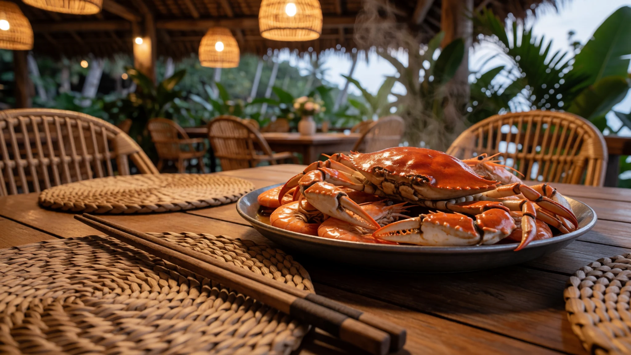
- Kinilaw — market eateries and home-style restaurants in town centres
Kinilaw is raw fish cured in vinegar or citrus and mixed with onion, ginger and chilli. It is a fresh, sharp dish that reflects the island's close link to fishing. Look for it at market eateries and home-style restaurants in the town centre, where it is usually made the same morning.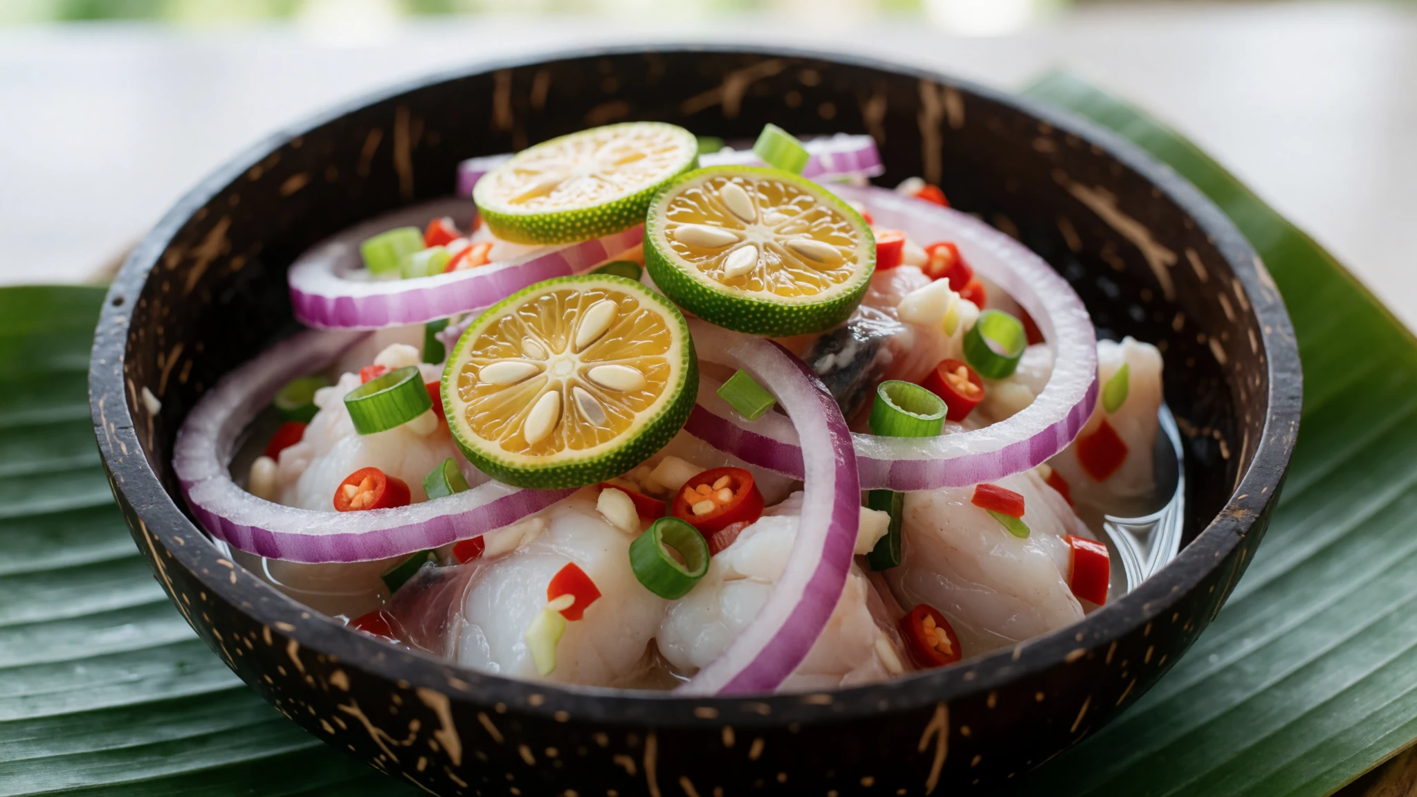
- Beer and bar food by the sea — beachfront bars in General Luna
In the evenings the beachfront bars around General Luna serve cold beer alongside fried snacks and grilled skewers. The mood is relaxed, with music and conversation, and it is an easy way to meet other travellers. Choose a table on the sand where the sea is in view, and expect the bars to fill later in the evening.
Plan it
Best time. March to May suits beach days, with drier weather and calmer seas on most days. The surf is typically strongest in the wetter months, roughly August to December, when swells arrive from the Pacific, but expect rain squalls and busier breaks.
How long. 3–4
Getting there. Fly into the island's airport, which is under an hour by van from General Luna. Cebu is the usual connection, with a flight of about an hour, and Manila is a little over two hours away. Vans wait at the airport, and fares are negotiable. Alternatively, take a ferry from Surigao City to Dapa, the main port town. Crossings run several times a day and take between two and nearly four hours, with both air-conditioned and standard options. Tricycles and habal-habals meet arrivals at the pier.
Budget. low
Tips
- Book flights and accommodation early in the peak surf months, when rooms in General Luna and the surf areas fill up.
- Start surf sessions early, when the water is usually less crowded and the wind is often lighter.
- Carry cash for vans, tricycles, small eateries and island hopping, as cards are less widely accepted away from the main accommodation.
- Buy reef booties locally and carry gauze and antiseptic for any scrape.
- Arrange island hopping through an established operator and check what the trip includes before paying.
Etiquette
- Wear reef booties on the reef and clean any scrape straight away.
- Ask before photographing people, especially at the fish landings.
- Give surfers in the lineup the right-of-way closest to the peak, and paddle around the lineup rather than through it.
- Take rubbish away from beaches and never leave it on the reef.
Nearby
Sources
- Wikidata Q2280814 (CC0)
- Wikipedia: Siargao (rev 1379958605) (CC BY-SA 4.0)
- Wikivoyage: Siargao (rev 5300501) (CC BY-SA 4.0)
- Photo 01-siargao-44.jpg (ChaasPrime) (CC BY-SA 4.0)
- Photo 02-dagger-hilt.jpg (Central Bank of the Philippines) (Public domain)
- Photo 03-siargao-fishing.jpg (Agustin Mendez) (CC BY-SA 4.0)
- Photo 04-siargao-54.jpg (ChaasPrime) (CC BY-SA 4.0)
- Photo 05-magpupungko-beach-high-tide.jpg (Wolfgang Hägele) (CC BY-SA 4.0)
- Photo 06-surfing-siargao.jpg (Niko.llanes) (CC BY-SA 4.0)
- Photo 07-catching-the-wave.jpg (Michael Angelo Luna) (CC BY-SA 4.0)
- Photo 08-siargao-18.jpg (ChaasPrime) (CC BY-SA 4.0)


