Shikoku
Shikoku, Japan
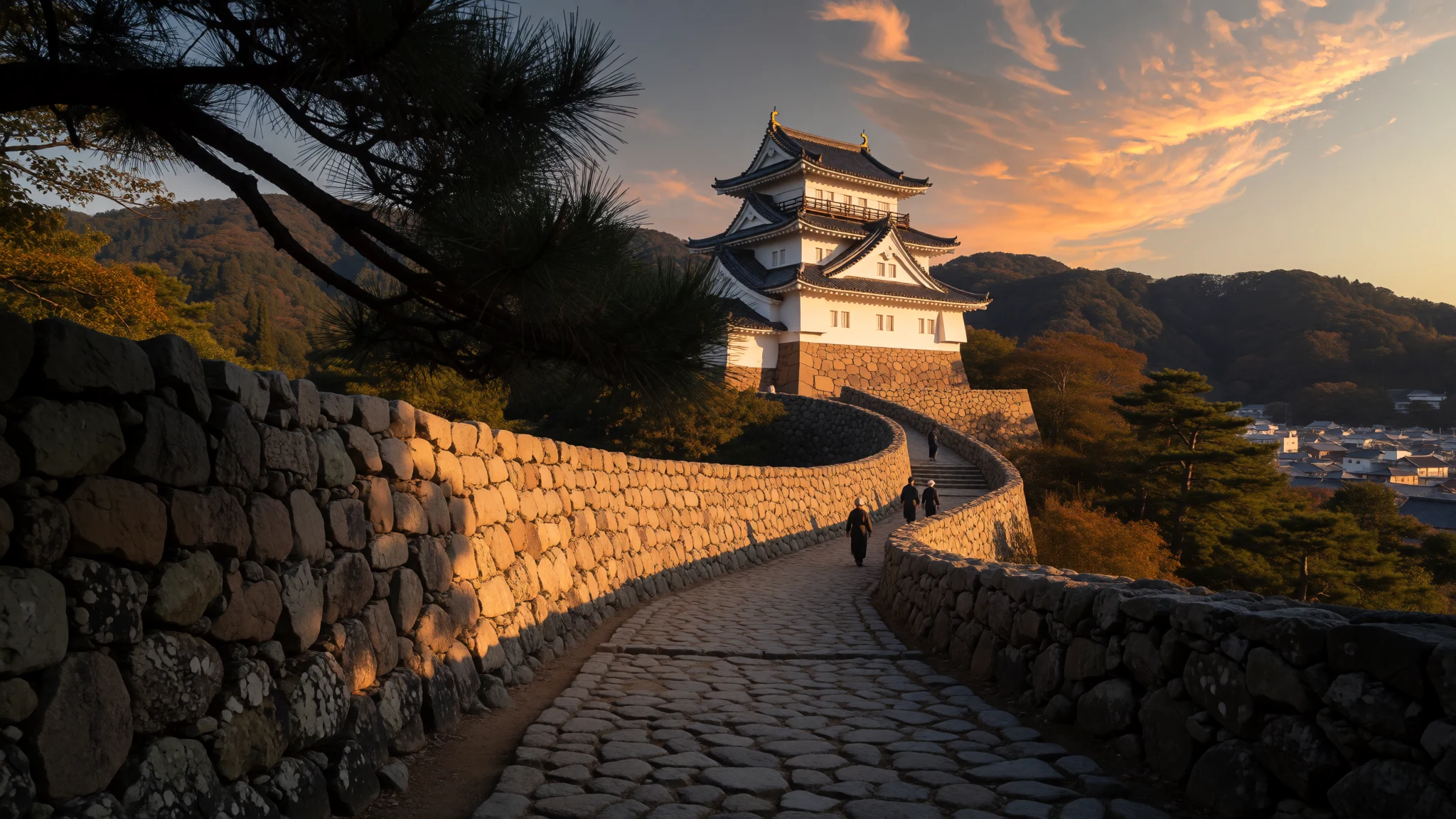
Shikoku offers a temple pilgrimage, deep river valleys, island art and quiet coasts, well away from Japan's busier circuits.
The place
Shikoku is an island in south-western Japan, lying south of Honshu and northeast of Kyushu, with the Seto Inland Sea along its northern side and the Pacific along its southern. About 3.8 million people live here, most of them on the narrow northern strip, where the larger cities sit, among them Takamatsu, Matsuyama and Tokushima. Kōchi lies closer to the southern coast. Four prefectures share the island: Ehime, Kagawa, Kōchi and Tokushima. The name means 'four provinces', recalling the older divisions of Awa, Tosa, Sanuki and Iyo. Mountain ranges run east to west and split the island in two. The north is mild and busy, with industry, farmland and ferry ports. The south opens to the ocean, with long surf-washed coasts and river valleys that feel far more remote. The highest point is Mount Ishizuchi in Ehime, at 1,982 m. Land is used intensively, so orchards and terraced fields climb high up the slopes. Shikoku is not on the Shinkansen network and its trains are unhurried, which shapes a trip: slow, local, and best planned around a few bases rather than a rushed circuit. Each prefecture has its own character. Kagawa is known for noodles and island galleries, Ehime for mandarins, Kōchi for ocean and river scenery, and Tokushima for dance and gorges. Visitor numbers are modest compared with Honshu, though pilgrimage seasons and festival weekends fill the lodgings. Summer is hot and humid, so walkers and cyclists tend to prefer spring and autumn.
Its story
Shikoku's story is one of distance. Cut off from Honshu by the Inland Sea and divided internally by mountains, the island kept older habits of farming, building and belief for longer than much of Japan, and writers keep returning to that quality. Alex Kerr, an American who settled in a remote mountain village near Oboke from 1970 onwards, wrote about this 'lost' Shikoku. The four old provinces of Awa, Tosa, Sanuki and Iyo still colour local identity: Awa in Tokushima's summer dance, Tosa in Kōchi's bonito and festival spirit, Sanuki in Kagawa's udon. The deepest thread is the pilgrimage. Kūkai, a Buddhist priest of the Heian period who was born in what is now Zentsūji in Kagawa, is credited with establishing the route of 88 temples that circles the island. Legend says he still walks beside every pilgrim, which is why the white jackets many wear carry the characters dōgyō ninin, 'two travelling together'. The loop is about 1,647 km on foot. Today most pilgrims go by bus, though walkers remain. Castles tell the later story: four of Japan's twelve surviving original castles stand here, at Marugame, Kōchi, Matsuyama and Uwajima, alongside reconstructed and ruined ones elsewhere. Together they point to an island of feudal domains, each with its own seat of power, separated by ridges and linked by the sea.
What to see
- 88 Temple Pilgrimage — All four prefectures; Zentsūji in Kagawa is Kūkai's birthplace
The pilgrimage circles the whole island through all four prefectures, linking 88 temples associated with Kūkai. Most visitors sample a handful by car, bus or short walking stretches rather than the full 1,647 km loop. Early mornings are quiet, and the white jackets of pilgrims make the route easy to recognise.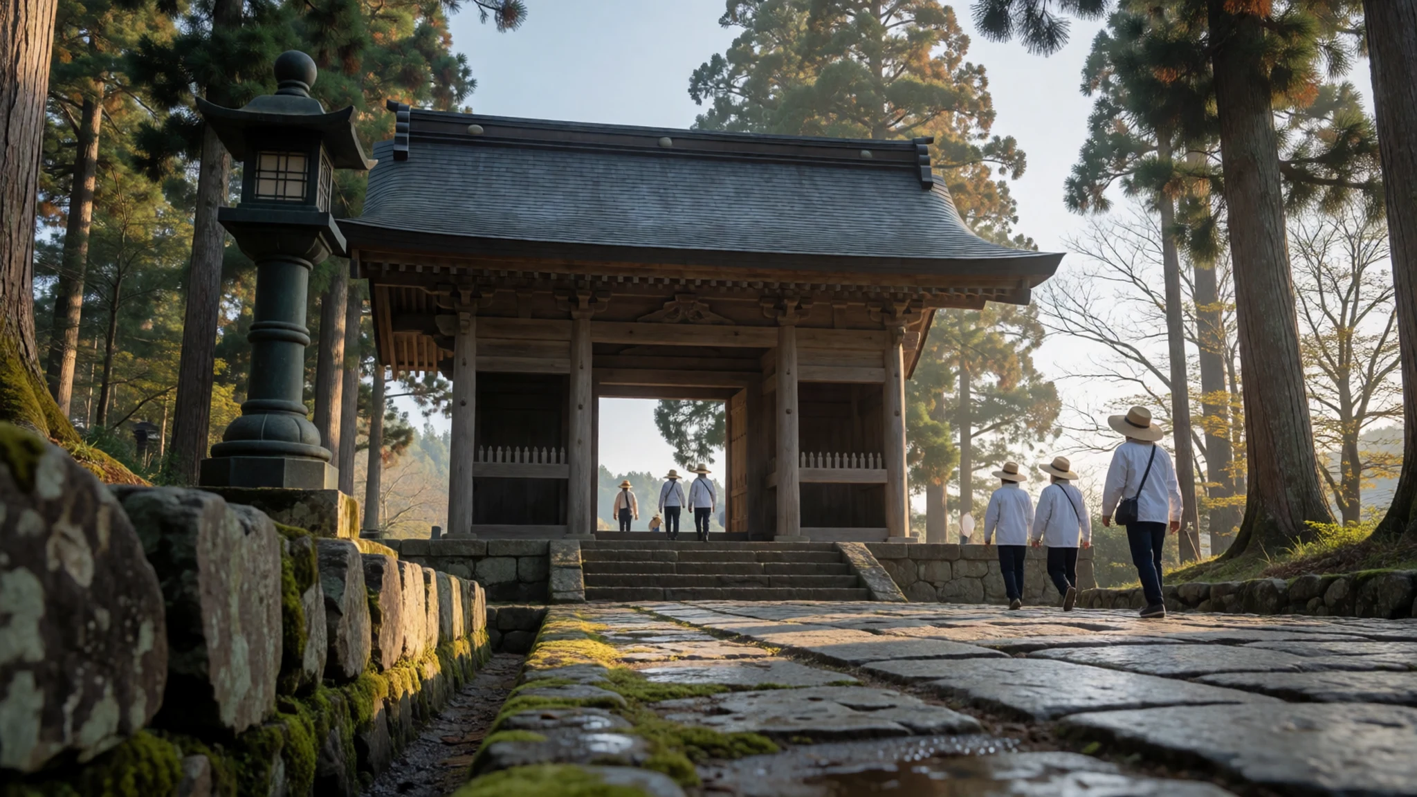
- Mount Ishizuchi — Ehime Prefecture
Mount Ishizuchi in Ehime is the island's highest peak at 1,982 m, topped by a rocky summit called Tengudake. Hikers tackle it in settled weather, ideally outside the summer heat, and should carry layers because conditions change quickly near the top. Check trail status locally before setting out.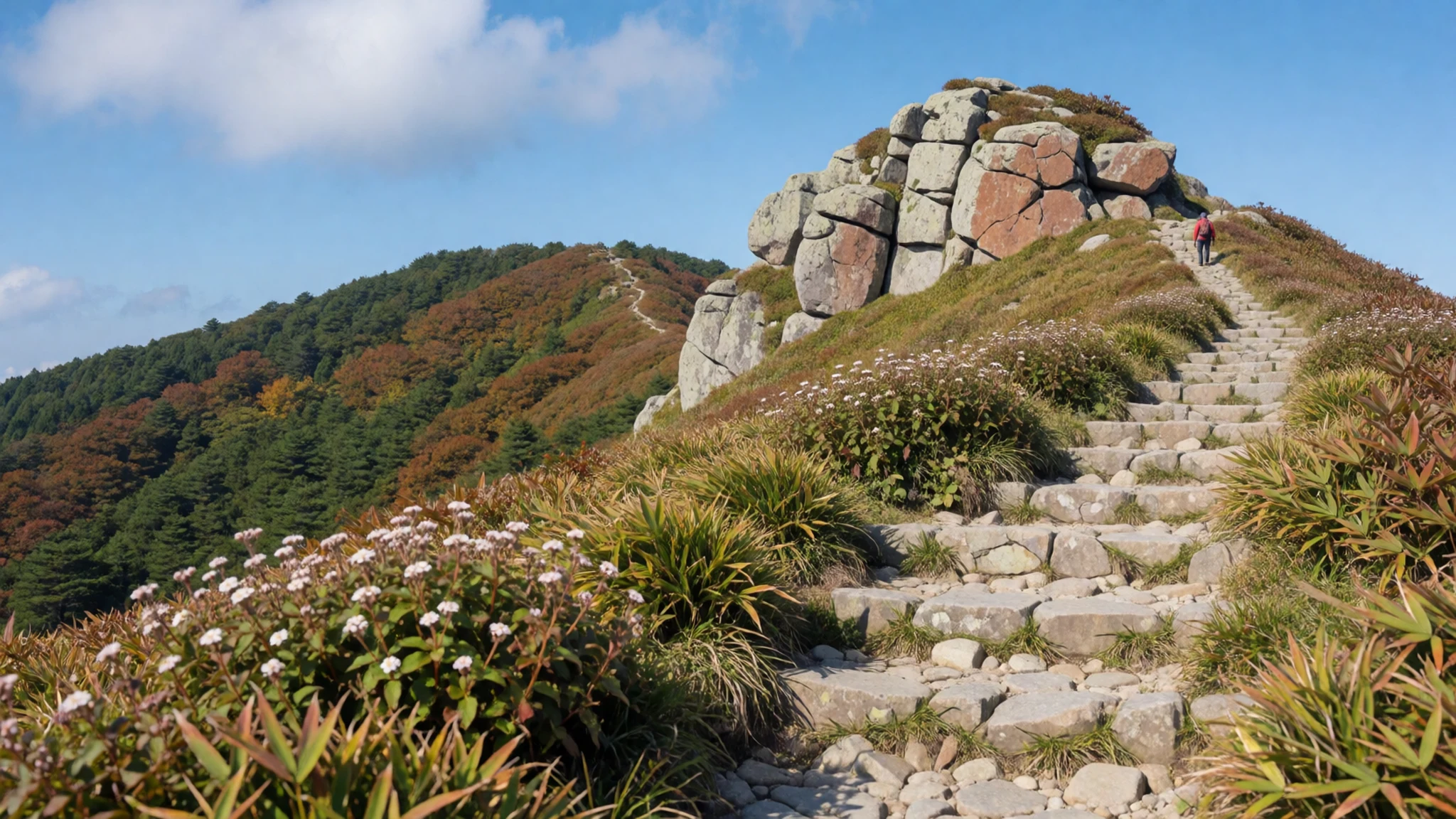
- Matsuyama Castle — Matsuyama, Ehime
Matsuyama Castle is one of four original castles on Shikoku, the others being at Marugame, Kōchi and Uwajima. It crowns a hill above the city, and the climb is rewarded with views across the rooftops and plain below. Check the official site for opening details before going.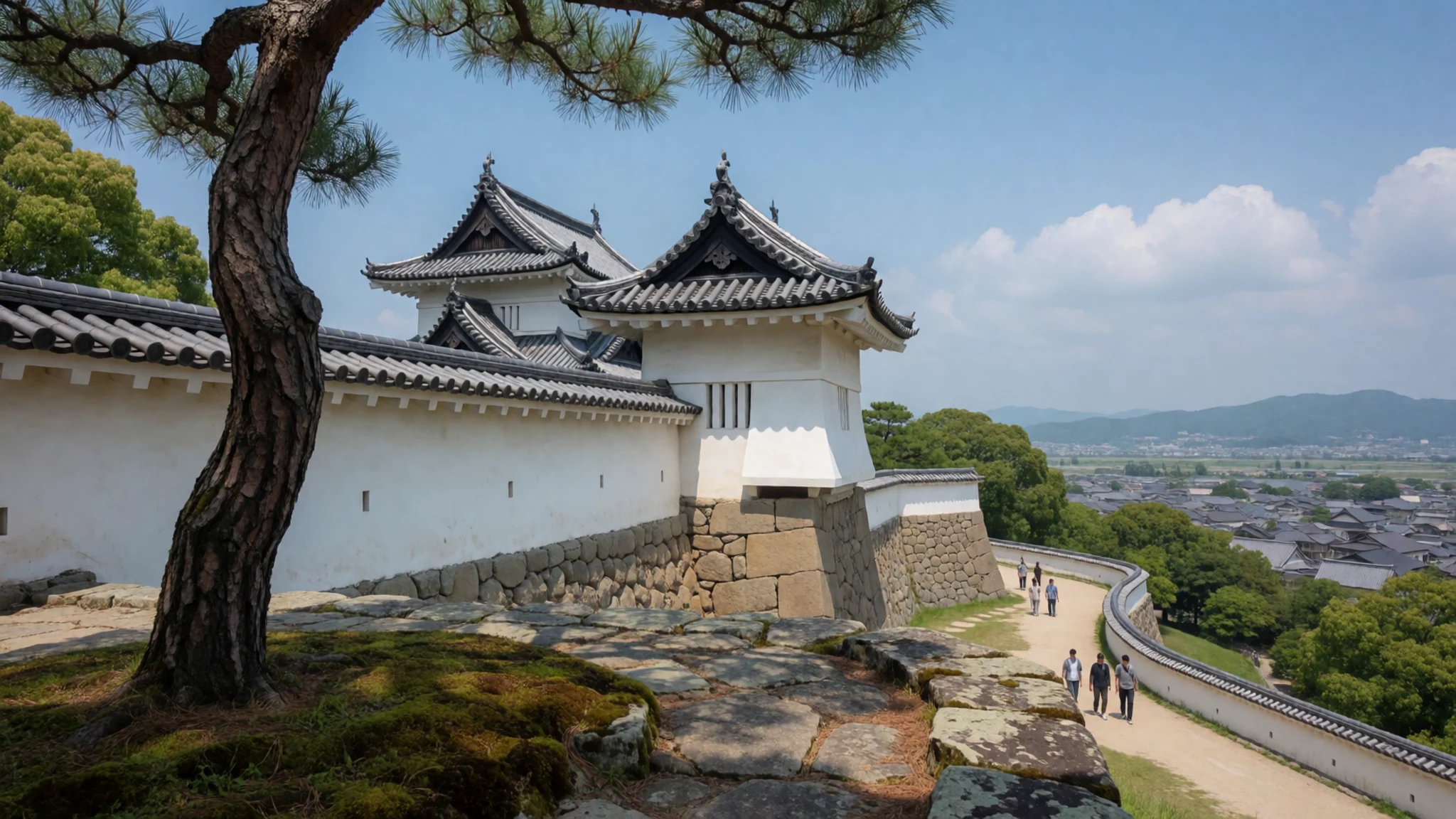
- Ritsurin Garden — Takamatsu, Kagawa
Ritsurin Garden in Takamatsu is a landscaped strolling garden of ponds, bridges and clipped pines, set against a wooded hill. It makes an easy half-day stop before or after catching a ferry from Takamatsu to the art islands of Naoshima and Teshima. Check the official site for hours.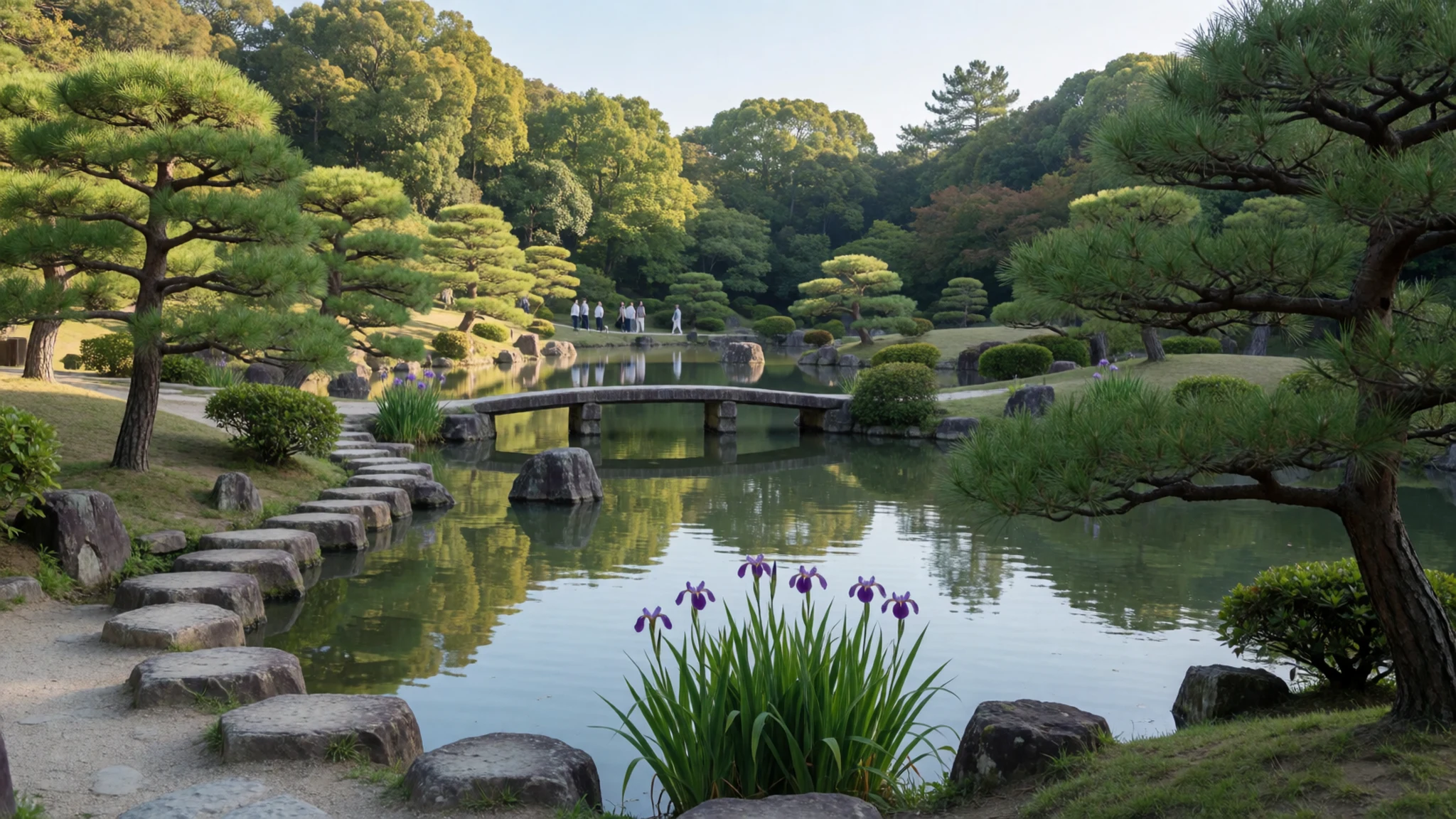
- Shimanto River — Shimanto, Kōchi
The Shimanto River in Kōchi winds through the south-west at an unhurried pace, crossed by low bridges built to sink under the water in floods. Canoeing, riverside walks and small villages make it a calm contrast to the busier north. Ask locally about water levels before paddling.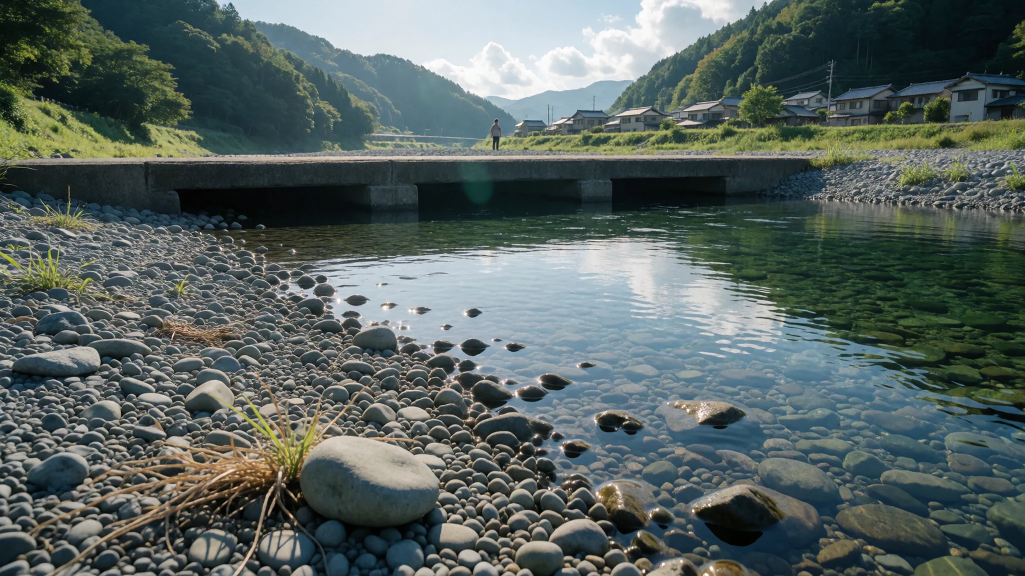
- Cape Ashizuri — Tosashimizu, Kōchi
Cape Ashizuri is the southern tip of Kōchi, a headland of cliffs, camellia woods and a lighthouse within Ashizuri-Uwakai National Park. Wind and Pacific swell give the setting a wild edge, and a pilgrimage temple stands nearby. Services are sparse, so carry water and plan transport in advance.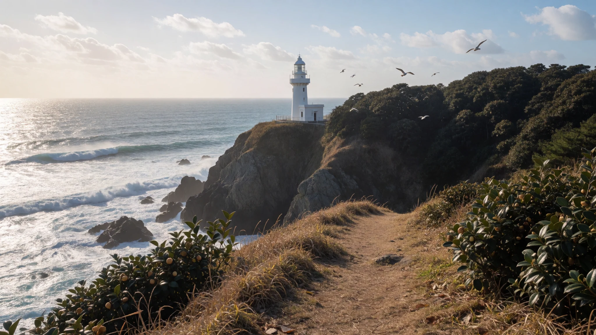
Culture
Shikoku's culture is shaped by pilgrimage, festivals and long isolation. The 88-temple route makes Buddhism part of everyday scenery: small temples sit in villages, on hillsides and beside fishing harbours, and locals traditionally offer food, drink or encouragement to walkers, a custom called osettai. Pilgrims in white jackets, with sedge hats and wooden staffs, are a familiar sight, and the staff is treated with care as a stand-in for Kūkai. At each temple, pilgrims usually wash their hands, light incense, pray at the main hall and collect a stamp in a book. Summer brings the big gatherings. Awa Odori fills the streets of Tokushima in August at Obon, the season when ancestors are welcomed home, with dancers in rhythmic lines and crowds from across Japan. Kōchi's Yosakoi festival also falls in August, a livelier dance contest with teams in bright costumes. Niihama's Taiko Festival, with drums and carried floats, completes the island's celebrated trio. Beyond festivals, daily life is rural and unhurried, and older building and farming methods survive in the mountains. At any temple, bow briefly at the gate, keep voices low near the main hall, and ask before photographing pilgrims or priests.
What to wear
Fashion in Shikoku mixes working textiles, festival dress and the white of the pilgrim. The island's best-known cloth is Awa indigo from Tokushima, where cotton is dyed deep blue with plant-based indigo and made into kimono, cushions and scarves. Around Matsuyama in Iyo, kasuri cotton, woven from threads dyed in advance to give a soft, blurred pattern, was long used for work clothes and bedding. Festival dress is cotton too: Awa Odori dancers wear light yukata or happi jackets, and women add tall woven hats and wooden clogs. Pilgrims wear white jackets, echoing the traditional burial shroud, though many walkers now add ordinary trekking gear. Day to day, people dress simply: practical layers, windproof jackets in coastal towns, work boots in orchards and fishing ports, and smart-casual in the northern cities. Kimono appear mainly at weddings, tea events and festivals. For visitors, comfort matters most. Spring and autumn suit layers and a light waterproof; summer is hot and humid, so breathable cotton, a hat and sun protection help. Sturdy, broken-in shoes are essential for mountain paths and temple steps, and slip-on pairs make removing shoes easy. At temples, covered shoulders and knees are respectful, though no strict code applies.
What to eat
- Sanuki udon — Noodle shops and self-service udon counters around Takamatsu and Kagawa
Thick, chewy wheat noodles from Kagawa, served in hot broth or cold with a dipping sauce. Locals eat them at any time of day, often for breakfast or a quick lunch, and many shops are plain, no-frills counters.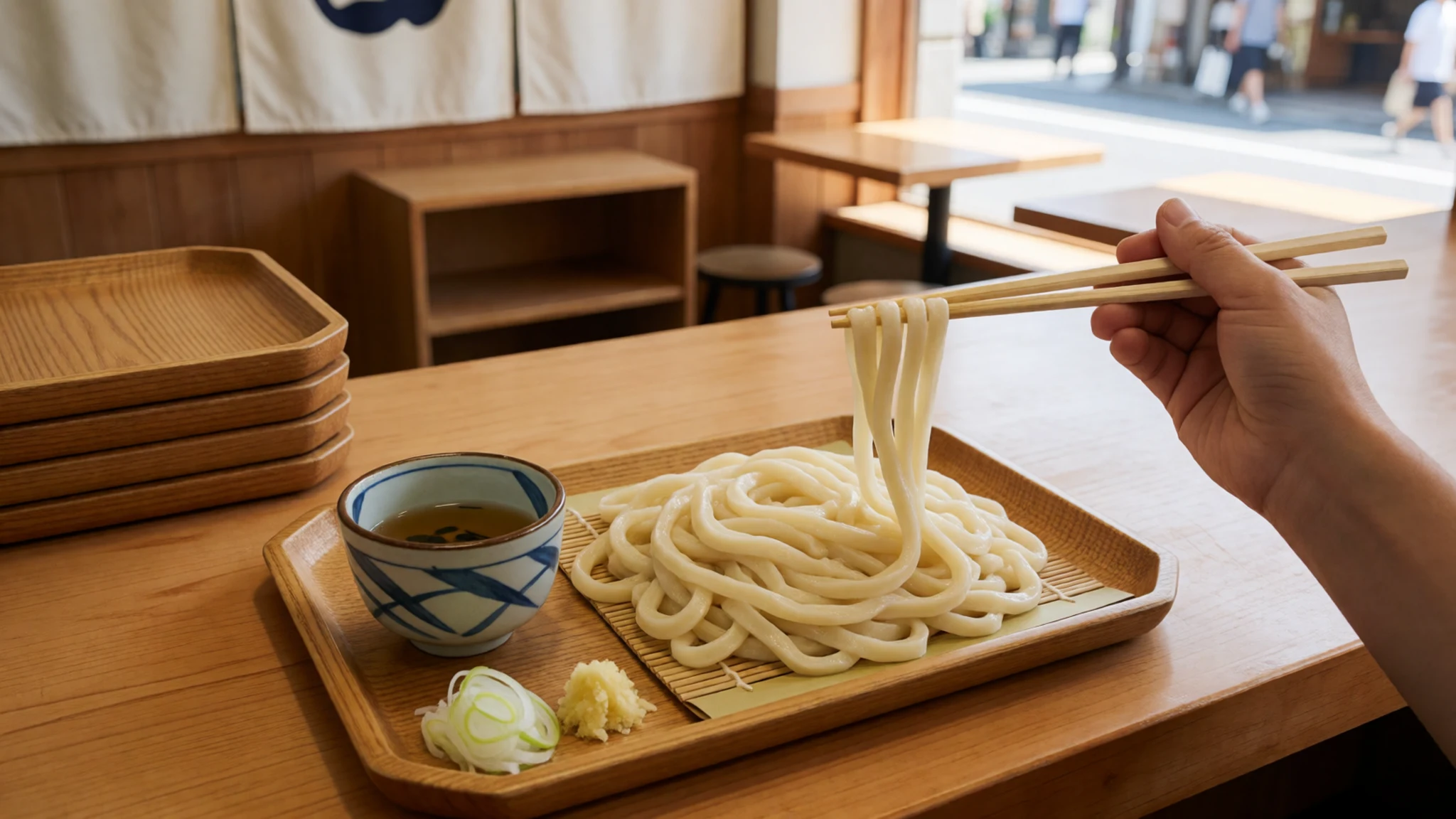
- Katsuo no tataki — Kōchi's covered food markets and harbourside eateries
Bonito from Kōchi, seared on the outside and left raw within, then sliced and eaten with garlic, ginger, spring onion and citrus sauce. The smoky flavour is strongest when the fish is freshly grilled over straw.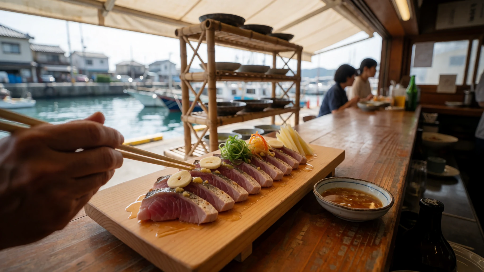
- Sudachi — Tokushima restaurants, farm shops and roadside produce stalls
A small, smooth green citrus from Tokushima, similar to a lime but more fragrant. It is squeezed over grilled fish, noodles and hot pots, and also turns up in drinks and sweets in the season. - Ehime mikan — Orchard stalls, station shops and roadside markets in Ehime
Sweet mandarin oranges from Ehime, grown on sun-facing terraces above the Inland Sea. They are eaten fresh in winter and also served as juice, jelly and ice cream in many local cafés. - Tai-meshi — Seafood restaurants and family-run eateries along Ehime's coast
A rice dish built around sea bream, found in Ehime in two forms: baked with the fish in a pot, or sashimi poured over rice with raw egg and soy sauce. Both are simple, savoury and filling.
Plan it
Best time. March–May and October–November are mild and clear, good for temple walking and hiking. June is the rainy season, summer is hot and humid, and late summer to autumn can bring typhoons. August suits those who want Awa Odori or Yosakoi.
How long. 5–7
Getting there. Small regional airports serve Takamatsu, Matsuyama, Kōchi and Tokushima, with a few flights to Seoul and Shanghai; for other international routes, connect through Tokyo or Kansai. By train, services run from Okayama to Takamatsu, and the Shiokaze limited express runs roughly hourly from Okayama to Matsuyama. Buses from Kansai cross Awaji Island, and ferries sail from Kobe and Hiroshima.
Budget. mid
Tips
- Hire a car or plan bus links carefully for the south and the mountains, as trains are slow and sparse
- Train information is mostly in Japanese, so note station names in kanji or ask staff
- Book lodgings early around the August festivals and pilgrimage peaks
- Carry cash for small temples, rural shops and village eateries
- Check weather and trail conditions locally before hiking Mount Ishizuchi or paddling the Shimanto
Etiquette
- Bow at temple gates and keep quiet near main halls
- Remove shoes where a raised step or slippers are provided
- Ask before photographing pilgrims, priests or festival dancers up close
Nearby
Sources
- Wikidata Q13991 (CC0)
- Wikipedia: Shikoku (rev 1380893234) (CC BY-SA 4.0)
- Wikivoyage: Shikoku (rev 5418031) (CC BY-SA 4.0)
- Satellite image of Shikoku in April 2018 — Jeff Schmaltz, MODIS Land Rapid Response Team, NASA GSFC (Public domain)
- Chugoku region, Shikoku, Japan, seen from the International Space Station — NASA (Public domain)
- Mount Ishizuchi — HendrixEesti (CC BY 3.0)
- Cape Ashizuri — Jpatokal, English Wikivoyage (CC BY 3.0)
- Shimanto river near Sada-chinkabashi — 四万十人 (CC BY-SA 2.5)
- Seto Inland Sea map — Christian Günther (Guenny) (CC BY 3.0)
- Matsuyama — lienyuan lee (CC BY 3.0)
- View of Takamatsu from tower — Fg2 (Public domain)


