Sequoia National Park
Sequoia National Park, United States
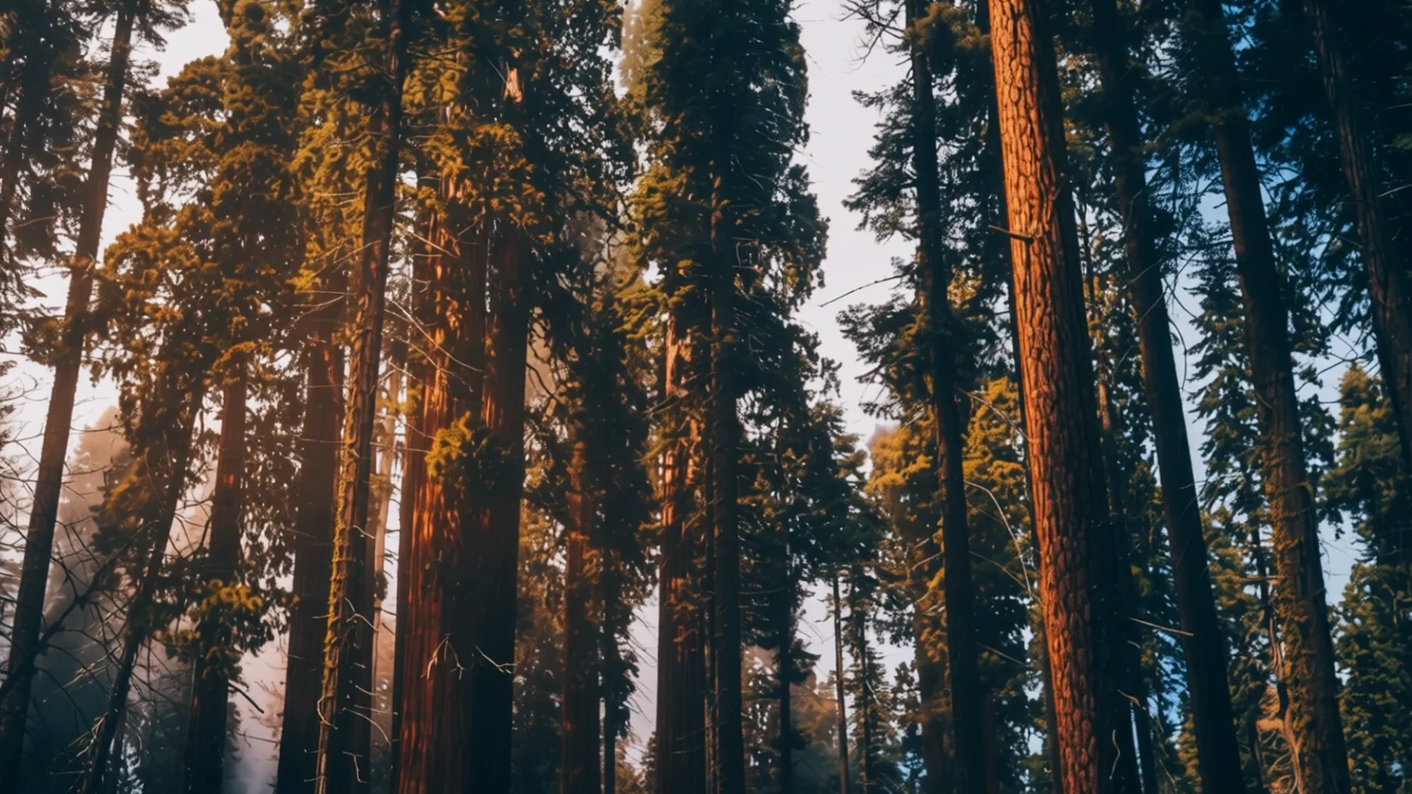
Sequoia National Park protects some of the largest trees on Earth, set against the high granite peaks of the southern Sierra Nevada.
The place
Sequoia National Park lies in the southern Sierra Nevada of California, a short way east of the farming town of Visalia. The land climbs from foothill oak country to high alpine granite, a vertical spread of nearly 4,000 metres, so a single morning's drive can pass through several distinct climate zones. The park was established in 1890 and is run together with the neighbouring Kings Canyon National Park, which shares its boundary and management.
The area is best known for giant sequoias, among the largest living things on the planet by volume. The General Sherman Tree, in the Giant Forest, is the largest single tree of them all. Above the forests a long ridge of high peaks, the Great Western Divide, runs parallel to the crest of the range. Between the ridges, canyons cut deep enough to feel like separate worlds, and the park includes Mount Whitney, the highest point in the contiguous United States.
Summers are warm and dry in the lower valleys, while the high country stays cold and snowbound for much of the year. Because the elevations vary so widely, the temperature, trail conditions and crowds can all change sharply within an hour of walking. Plan for that difference rather than expecting one kind of weather across the whole park.
Its story
Sequoia National Park has been home to people for a very long time. Evidence of settlement goes back long before European arrival, and the Western Mono, known in the region as the Monachee, lived mainly along the Kaweah River drainage on the western side of what is now the park. Their villages held one to eight families each, led by a chief who organised ceremonies and helped people in need, while a messenger assisted the chief and settled disputes. An annual mourning ceremony honoured those who had died in the previous year. In warmer months the Western Mono crossed high passes to trade with the Owens Valley Paiute and the Yokuts.
Further east, the Tübatulabal lived along the Kern River. Organised into three bands that met and intermarried, they moved with the seasons and built more settled winter villages. Acorns, pine nuts and fish formed the core of their diet, and their craftwork included baskets, pottery and fishing gear. The Yokuts occupied the San Joaquin Valley and reached into the foothills, divided into many groups, each with its own chief and territory.
Rock art survives at sites such as Hospital Rock, where pictographs and bedrock mortars used for grinding acorns mark the everyday routines of earlier generations. The rock itself is a granite formed when molten material cooled far underground, a process linked to subduction. In 1890 the area was set aside as a national park, giving formal protection to the giant sequoias and the mountains around them.
What to see
- General Sherman Tree — Giant Forest, central part of the park
The General Sherman Tree is the largest tree on Earth by volume, and its size only sinks in when you stand at the base of the trunk. A short paved path leads to it through the forest, and the trunk is wide enough that the crowds around it seem small. Go early, when the light is soft and the viewing area is quieter, and allow time to look up into the crown.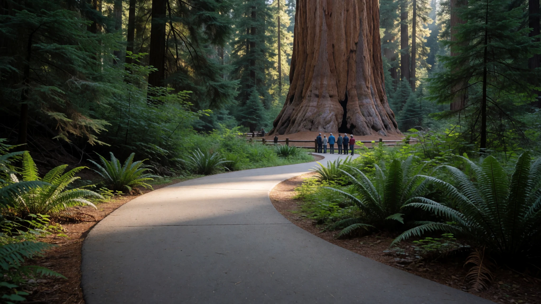
- Giant Forest — high plateau reached by the Generals Highway
The Giant Forest holds several of the biggest trees in the world in a relatively compact area. Walking loops of different lengths take you among fallen giants, young saplings and the grey, fibrous bark that helps these trees survive fire. Expect company on the main trails in summer, and choose a quieter loop if you want space to think.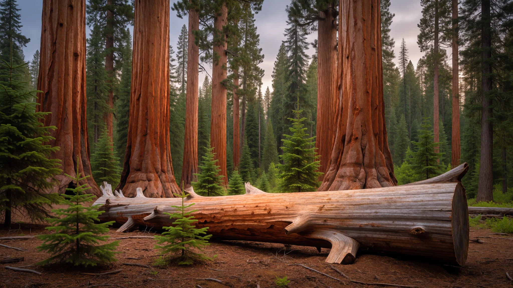
- Hospital Rock — western foothills, along the Kaweah River side of the park
Hospital Rock is a large granite outcrop with pictographs and bedrock mortars, where generations of people ground acorns into flour. The site is a short walk from the road and makes a good first stop for understanding the park's human history. Read the interpretive signs, look closely at the carved and painted marks, and leave the rock surfaces untouched.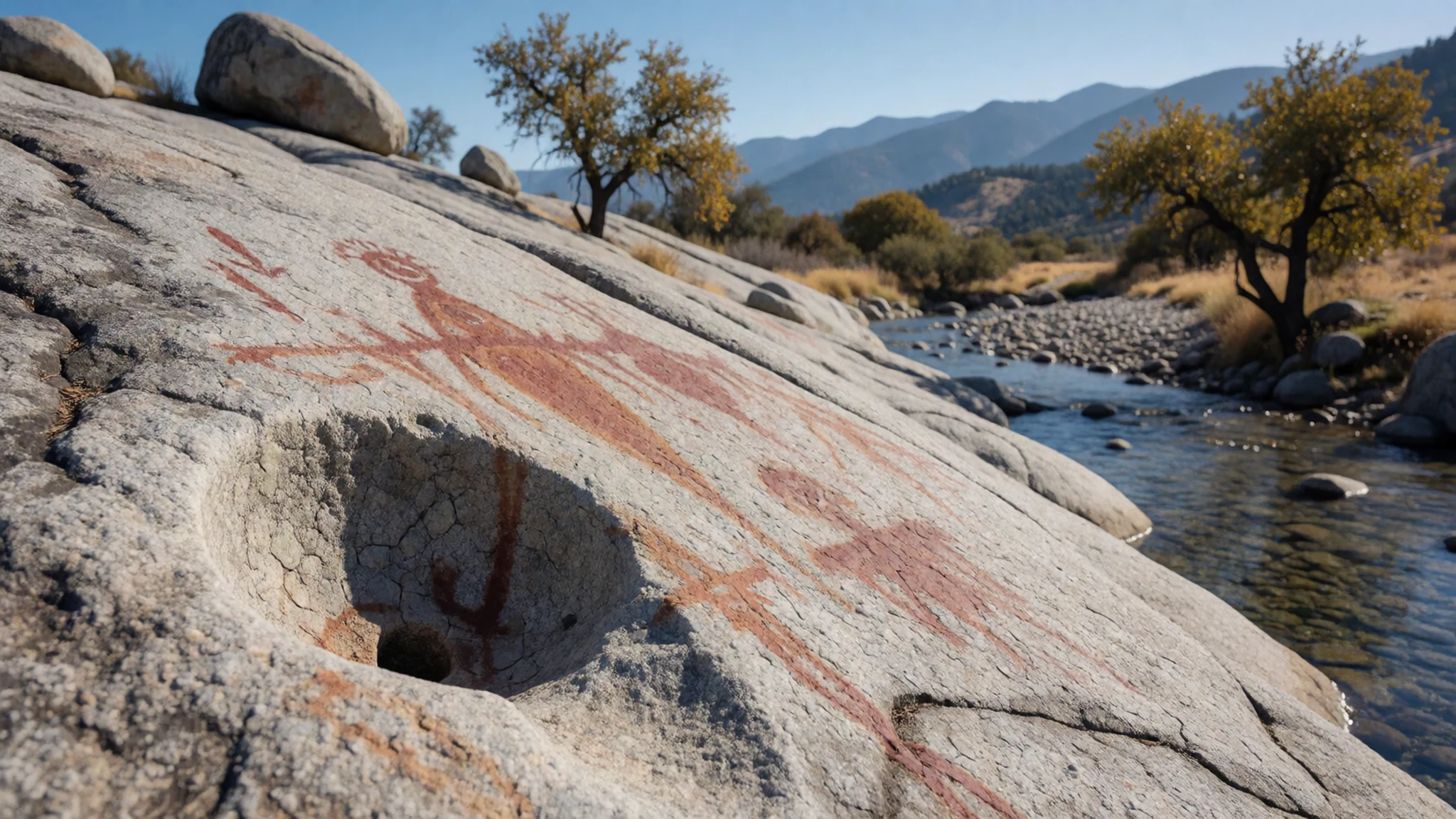
- Tharp's Log — Giant Forest area
Tharp's Log is a historic cabin built into a fallen sequoia, a reminder of the early settlers who spent summers in these mountains. The structure is small and simple, and it shows how people once made use of what the forest provided. Look at the cabin from the path, and keep to the marked route around it.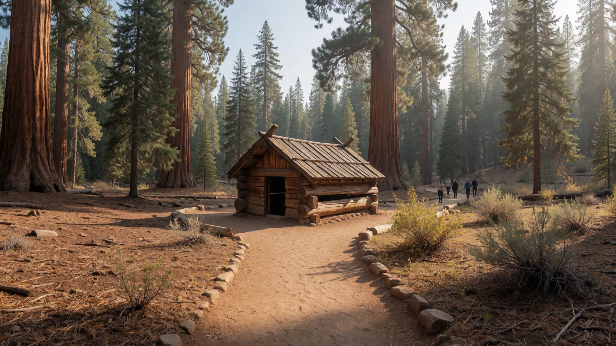
- Kaweah River valley view — high country above the Kaweah River, looking down the valley
From the bowl beneath Kaweah Gap, the view runs down the valley towards the lower country, with steep walls on either side. It is a good way to see how the river has carved the landscape over a long time. The route up is steep and high, so check conditions and carry extra layers, because the weather can turn quickly.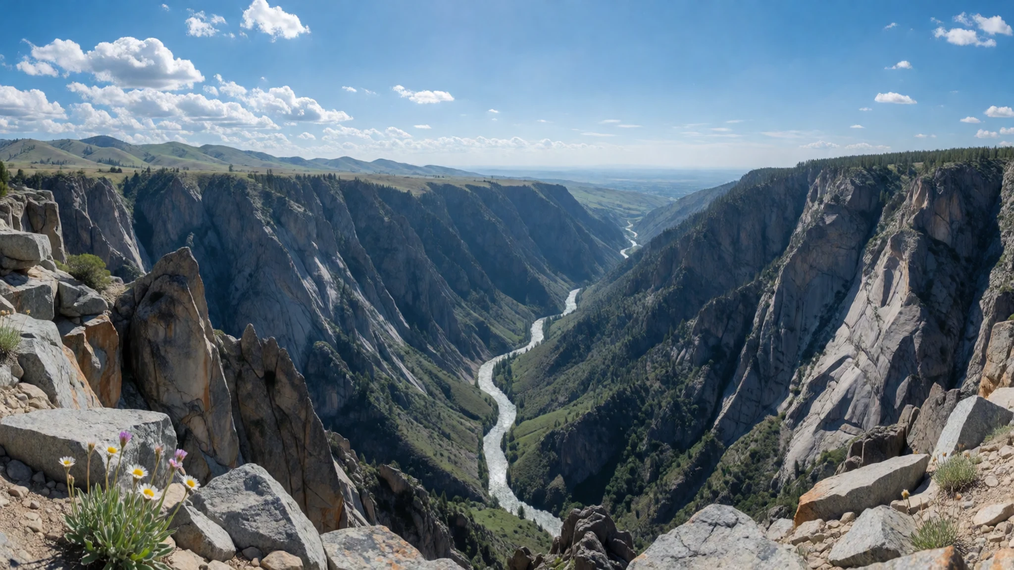
Culture
Sequoia National Park is the traditional homeland of the Monachee (Western Mono), Tübatulabal, Yokuts and Owens Valley Paiute peoples, and their history is part of the visit rather than a side note. Many of the park's sites carry Indigenous meaning, from the rock art at Hospital Rock to the bedrock mortars used for acorns. Rangers and interpretive signs explain this history well, and it is worth reading them before you walk. Visitors are expected to treat the park as a working landscape with living cultures, and the Park Service asks people to leave natural and archaeological features as they find them. Please do not touch or climb on the pictographs and mortars, and keep your hands off the sequoia bark and roots, which are easily damaged.
What to wear
Sequoia National Park's traditional dress was practical and shaped by the seasons and the land. Indigenous people of the region wore clothing made from plant fibres and animal skins, and they are best remembered today through their basketry. Bottleneck-shaped coiled baskets, associated with the region's peoples, were woven with fine plant materials, and the skill of making them was passed between generations. Patterns and forms were tied to function, and the baskets were used for carrying, storing and cooking. Today people in the surrounding towns dress much as people do across the American West, in jeans, work shirts, fleece and sturdy boots. For a visit, wear layers, because mornings can be cold at altitude and afternoons warm up quickly. Pack a hat, sunscreen and a waterproof jacket for summer storms, and wear closed walking shoes with good grip for the rocky, uneven trails.
What to eat
- Tri-tip sandwich — a barbecue restaurant or café in the valley towns on the approach from Visalia
Tri-tip is a cut of beef from the bottom sirloin, usually slow-cooked over oak or red wood and sliced thin. It is the classic Central California barbecue dish, served in a bread roll with a simple sauce. Order it before the mountain roads take over, because the valley towns have more eateries and shorter queues.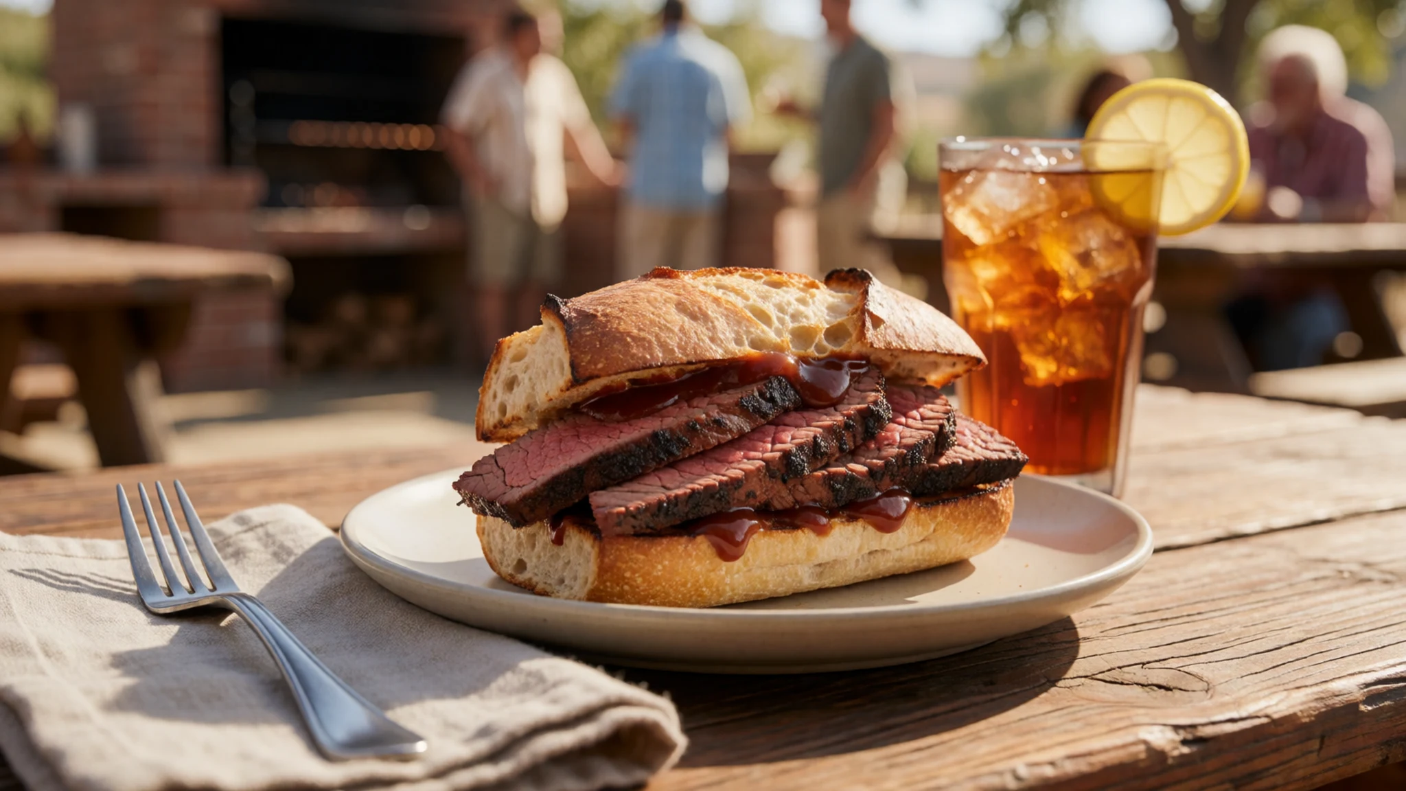
- Tacos from roadside stands — street stands and small taquerias in the Visalia area
Tacos from roadside stands are a daily part of life in the Central Valley, filled with grilled meat, onions and coriander. They are cheap, quick and often the best-value meal on the drive into the foothills. Choose a stand with a steady queue, which is usually a sign the food is fresh.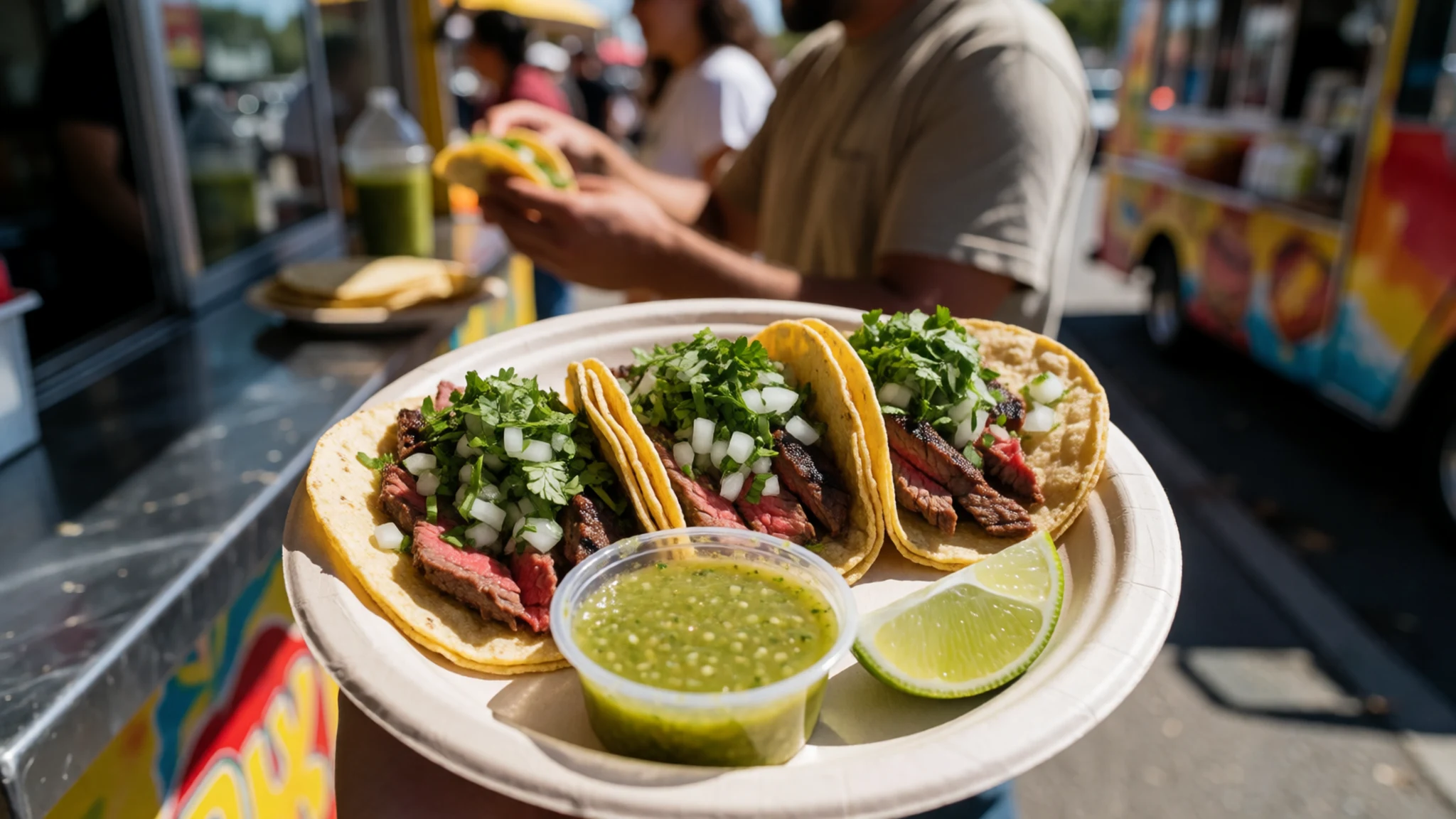
- Central Valley stone fruit — fruit stalls and farm shops in the valley towns
Peaches, nectarines, plums and apricots are grown in the valley around the park, and they are at their best in summer. Buy them from a roadside stall or a farm shop and eat them the same day, since they soften quickly in the heat. They make an easy snack for the trail. - Trail food and jerky — supermarkets and general stores in the towns before the park entrance
Dried meat, nuts, cheese and dried fruit are the staple food for long days on the trail, and most visitors stock up before they go up the mountain. Stores in the towns near the park have a good range, and prices are generally lower there than at the more remote shops. Pack more than you think you need, as options inside the park can be limited. - Acorn foods — cultural displays and interpretive programmes rather than restaurants
Acorns were a staple for the Western Mono, Tübatulabal and Yokuts, leached to remove bitterness and then ground into meal for bread, porridge and soups. Acorn food is not sold as a dish in the park, but cultural demonstrations and displays sometimes explain how it was prepared. Ask rangers or check the visitor centre programmes if you want to learn more.
Plan it
Best time. June to September for most roads, trails and facilities, with July and August the warmest and driest months; the high country is often snowbound outside this window, and the lower areas can be hot in summer.
How long. 2–3
Getting there. Fly into Fresno Yosemite International Airport, then drive a couple of hours east to the park along mountain roads; the last leg is by car, so rent one or arrange a transfer in advance.
Budget. mid
Tips
- Book lodging and campsites well ahead for summer weekends
- Start the Giant Forest walks before 8 am to avoid the busiest hours
- Carry water, sun protection and warm layers, as conditions change quickly with altitude
- Check road, snow and fire-restriction notices on the official site before you set out
- Bring cash or a card for fuel, as services in the park are limited
Etiquette
- Keep to marked trails and boardwalks, and stay off the roots of the big trees
- Store food and scented items in the lockers provided, and keep your distance from wildlife
Nearby
Sources
- Wikidata Q152660 (CC0)
- Wikipedia: Sequoia National Park (rev 1380469701) (CC BY-SA 4.0)
- Wikivoyage: Tulare County (rev 5336777) (CC BY-SA 4.0)
- Photo: Sequoiadendron giganteum, Alberto Carrasco Casado (CC BY 2.5)
- Photo: General Sherman Tree, Marty Aligata (CC BY-SA 4.0)
- Photo: Hospital Rock 2021, 25or6to4 (CC BY-SA 4.0)
- Photo: Bottleneck basket, Metropolitan Museum of Art (CC0)
- Photo: Young Yokut Indian girl, George Wharton James (Public domain)
- Photo: Tharp's log, Stuart Orford (CC BY-SA 2.0)
- Photo: Kaweah downvalley, Jane S. Richardson (CC BY 3.0)
- Photo: Crystal Cave, Vgane (CC BY 3.0)


