Seoraksan
Seoraksan, South Korea
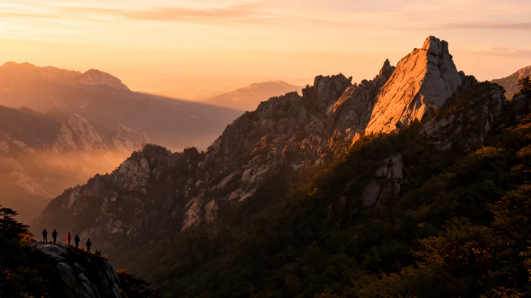
Granite peaks, clear streams and temple roofs tucked under the ridges make Seoraksan a strong reason to leave Seoul for a few days.
The place
Seoraksan (설악산), also known as Mount Sorak, sits in Gangwon Province on the east side of South Korea, close to the coastal town of Sokcho. At 1,708 metres it is the highest peak in the Taebaek range, and only Hallasan on Jeju Island and Jirisan in the south stand taller in the country, which makes it the third highest mountain in South Korea. Its summit, Daechongbong, is the point most hikers aim for, but the mountain is just as well known for its ridges and valleys as for any single view. The whole massif lies inside Seoraksan National Park, which is also part of a biosphere reserve, a designation that reflects how carefully its forests and wildlife are looked after.
The mountain is usually split into three zones. Naeseorak, or Inner Seorak, lies to the northwest in Inje County and holds Daechongbong along with valleys, waterfalls and an old fortress. Oeseorak, or Outer Seorak, faces Sokcho to the east and has gentler trails, which is why it sees so many visitors. Namseorak, or South Seorak, completes the picture to the south. Because the park is large, choosing which zone to base yourself in matters as much as choosing the peak. Many people pick Sokcho for its sea air and easy transport, then travel by bus or taxi to the trailheads.
Its story
Seoraksan's story is partly a story of rock. The granite that gives the peaks their jagged shapes also made the valleys hard to farm and hard to reach, so communities here had to find other uses for the land. The most visible legacy is religious. Buddhist temples survived in the mountains and the surrounding Gangwon hills partly because the rugged ground discouraged the kind of development that swept through flatter country. Sinheungsa, one of the best-known of these, grew into a complex with a large seated bronze Buddha, and it now draws visitors who never planned to climb anything.
Another strand is the pavilion tradition. Korean scholars and officials built small wooden pavilions on cliffs and beside streams, where they could sit and look at the scenery. They often wrote poems about what they saw: the sea, the moon, or water running over stones. Those poems are a useful reminder that the mountain was admired long before it became a national park.
In the modern era, the park became a destination for hikers and for those seeking hot springs, and the eastern side around Sokcho grew into a centre for resorts and winter sports. Its position near the coast gives the area a double identity, with rugged inland ridges and a working seaside town close by. The story of Seoraksan is therefore less a single narrative than a set of overlapping ones about rock, faith, poetry and the modern pull of the outdoors.
What to see
- Ulsanbawi (Ulsan Rock) — Oeseorak, Outer Seorak
Ulsanbawi is the rock formation that appears in many photographs of the park. The climb to the top involves stairs, ropes and a steep final section, so it suits dry weather and sturdy footwear. From the summit you look across the ridgelines and out towards the coastal haze. Weekends and autumn bring large crowds, so an early start gives you a calmer ascent and better light.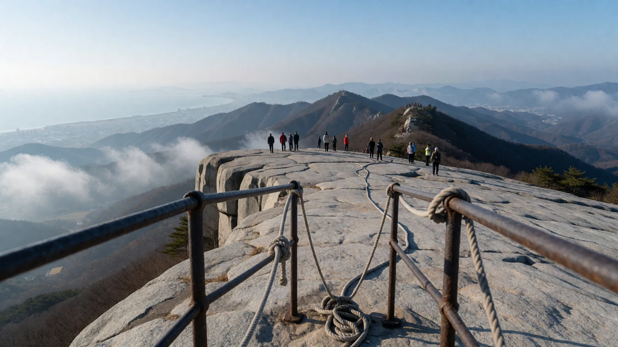
- Daechongbong (Daecheong Peak) — Naeseorak, Inner Seorak
Daechongbong is the summit of Seoraksan at 1,708 metres, reached by a long route through the inner valleys. It is a serious day hike rather than a stroll, with exposed sections and weather that can change quickly, and the ridge can feel cold even in milder months. Check current trail conditions with the park before you commit, and plan your return time with care.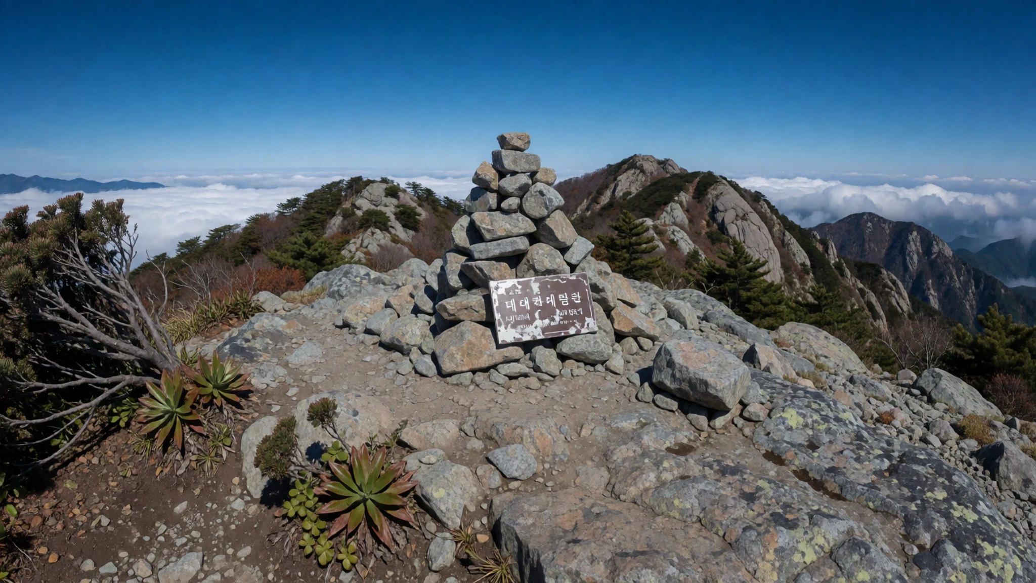
- Towangseong Waterfall — Oeseorak, Outer Seorak
Towangseong Waterfall is recorded as the highest waterfall in South Korea, which gives the walk to it a satisfying sense of arrival. The approach is among the easier paths in the outer area, so it suits families and older walkers. The flow is strongest after rain, but the stone can be slippery, so take care on wet steps and keep a firm grip on any railings.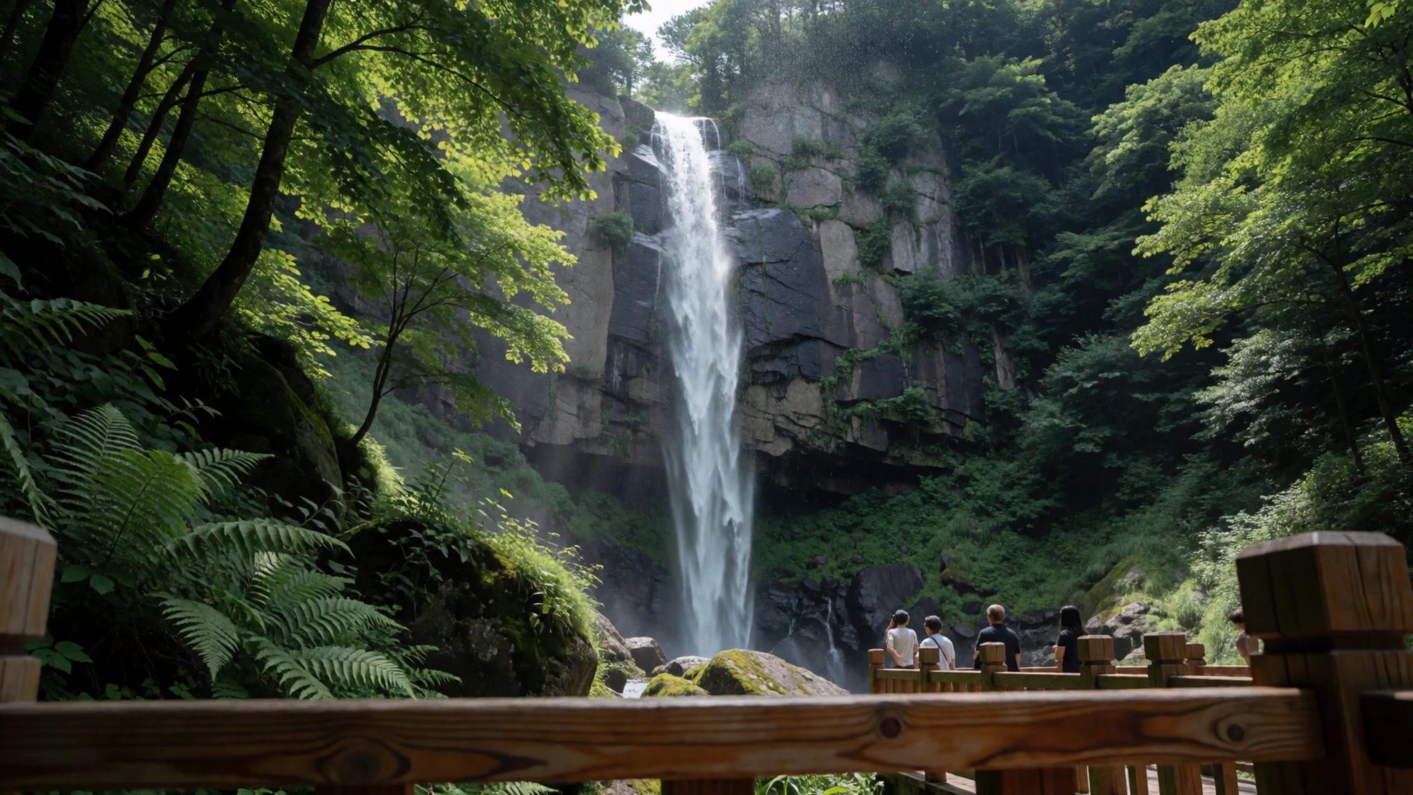
- Gwongeumseong Fortress — Naeseorak, Inner Seorak
Gwongeumseong is a fortress site on a rocky ridge in the inner section of the park. Its walls follow the lie of the land, and the view across the valleys is the main reason most people make the effort. Access is on foot along a trail that is steep in places. Bring water, wear proper boots and aim to be back down before the light fades.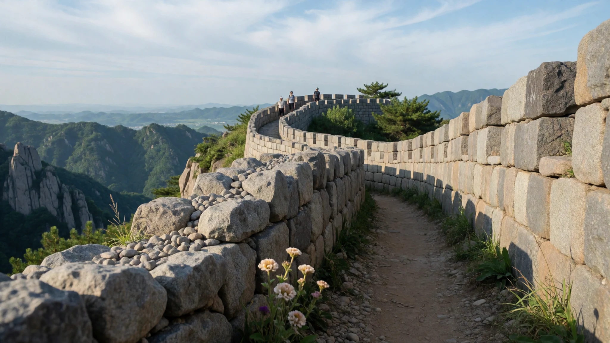
- Sinheungsa Temple and the Tong-il Daebul Buddha — Inside Seoraksan National Park
Sinheungsa is a Buddhist temple complex inside the park, known for its large seated bronze Buddha, the Tong-il Daebul. The Geungnakbojeon hall, often called Paradise Hall, stands among the buildings. You do not need to hike far to reach it, and it makes a good place to slow down after a morning on the trails. Visit with the same quiet you would bring to any working temple.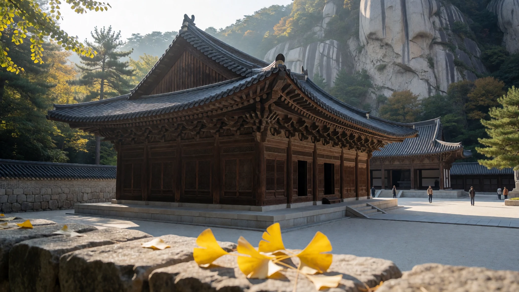
Culture
Seoraksan is a national park with a Buddhist temple tradition running through it, so behaviour at the temples matters as much as conduct on the trail. At Sinheungsa and the smaller shrines in the hills, visitors are expected to keep their voices low, step around people who are praying or making offerings, and treat the halls as active places rather than museum rooms. Photographs of Buddha images are generally fine from a respectful distance, but flash and tripods can disturb worshippers.
The park also has a conservation culture. Signs, ropes and closed trails protect fragile vegetation and rock, and visitors are asked to stay on marked paths. Litter goes home in your pack. The east coast has a strong fishing and seafood culture, so harbour areas are busiest in the morning when the catch comes in.
Many Koreans visit the mountains as a weekend habit, often with picnics and group walks, and a friendly greeting on the trail goes a long way. English is not widely spoken in the remoter parts of Gangwon, so simple written Korean or a translation app helps. At temple halls, remove your shoes where a step marks the entrance, and keep your voice and phone calls low while people are praying.
What to wear
In Seoraksan, traditional dress means the hanbok, the Korean costume of a short high-waisted jacket and full skirt for women, and a jacket with loose trousers for men. Hanbok is made from silk, ramie or cotton, and its colours and fabrics were once shaped by rank and occasion. Today people wear it mainly on holidays, at family celebrations and at some festivals, rather than in daily life. Visitors who want to try one can rent hanbok in towns near the park, though nobody expects it.
What people wear on the trails now is practical and often bright: technical waterproof jackets, trekking poles and sturdy boots, in a colourful mix that can make the hillsides look like a parade in autumn. In town, neat casual clothes are the norm.
For your own visit, dress in layers, because the ridges are colder and windier than the valleys, and pack a waterproof shell. Choose footwear with good grip for granite and wet steps. At temples, cover your shoulders and avoid very short shorts, and bring a warm hat for the cooler months.
What to eat
- Sundubu (soft tofu stew) — Haksapyeong Sundubu Village, Sokcho
Sundubu is Korean silken tofu served as a bubbling stew, and the tofu here is made with mountain water and sea salt from the East Sea. The flavour is mild and clean, so ask for the spice level you want. Order it with a bowl of rice and a few side dishes.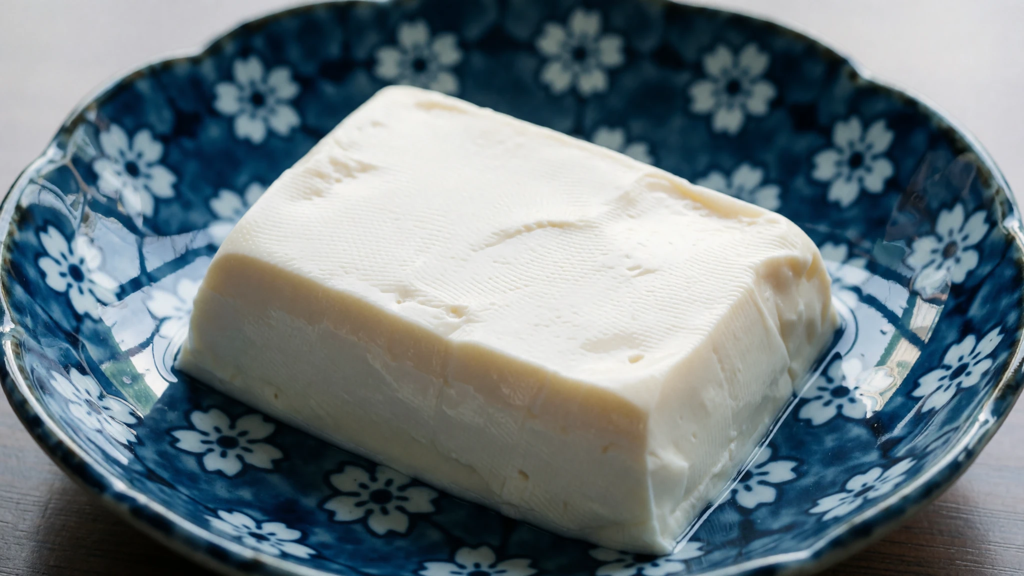
- Chobap (Korean sushi) — Daepo Port, Sokcho, and the fish markets along the coast
Chobap is Korean-style sushi, and the best of it comes from fish landed that morning. The harbour at Daepo Port is a good place to eat it close to the source. Go early when the catch is freshest, and expect simple seating and plain service.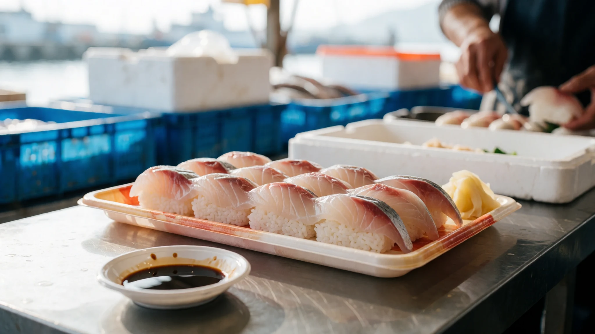
- Hwangtae (dried pollack) — Winter-dried pollack stalls in Gangwon towns
Hwangtae is pollack salted and then dried through cold winter air until it turns golden. Gangwon is known for drying it well, and the fish is often simmered with spices in a hot pot. It is smoky and chewy, a good choice for savoury food lovers. - Bibimbap and sanchae-jeongsik — Local set-meal eateries in the mountain towns
Bibimbap is rice topped with seasoned greens and vegetables, sometimes meat, which you mix yourself with spicy sauce in a large bowl. Sanchae-jeongsik is a full set of mountain herbs and wild greens. Ask for it at a local set-meal eatery and expect many side dishes. - Hanu beef — Hoengseong, at the Hoengseong Hanu Festival and in town
Hoengseong is famous for hanu, Korean beef from cattle that suit the local climate. You can eat it grilled at a restaurant and also buy it to take home. The Hoengseong Hanu Festival is the easiest way to sample several cuts in one visit.
Plan it
Best time. March to April and October to November suit walking best. July and August are the hottest and wettest months, with highs near 33 C and heavy rain, so expect humid days and sudden storms. January and February are the coldest, with lows near -15 C and snow on the ridges. April to May and October are the most comfortable for walking, with milder temperatures and less rain, though it is still wise to check trail notices before you set out. Winter is cold and snowy, a season for experienced walkers.
How long. 2–3
Getting there. Yangyang International Airport is the main airport, with flights from Busan, Gwangju and Shanghai. Alternatively, fly into Incheon International Airport and take a direct bus, with the final leg by road to the park.
Budget. mid
Tips
- Book transport and accommodation early for autumn weekends, when the park is busiest
- Start early on popular trails such as Ulsanbawi to avoid the crowds
- Carry water and layers, as weather on the ridges changes quickly
- Carry some cash for small eateries and markets
- Save a Korean phrase or a translation app, because English is limited in remote areas
Etiquette
- Stay on marked trails and do not cut across fragile slopes
- Carry all your litter back down
- Remove your shoes at temple halls where a step marks the entrance
Nearby
Sources
- Wikidata Q482644 (CC0)
- Wikipedia (Seoraksan, rev 1377593687) (CC BY-SA 4.0)
- Wikivoyage (Gangwon, rev 5402593) (CC BY-SA 4.0)
- Photo 01 Seoraksan National Park panorama (kallerna) (CC BY-SA 4.0)
- Photo 02 Dinosaur Ridge of Seoraksan (Taewangkorea) (CC BY-SA 4.0)
- Photo 03 Seoraksan National Park Korea 21 (kallerna) (CC BY-SA 4.0)
- Photo 04 Mount Gwonggeumseong (Steve46814) (CC BY 3.0)
- Photo 05 Seoraksan Part I (lumoplank) (CC0)
- Photo 06 Tong-il Daebul 02 (Bernard Gagnon) (CC0 1.0)
- Photo 07 Geungnakbojeon at Sinheungsa 01 (Bernard Gagnon) (CC0 1.0)
- Photo 08 Seoraksan Part II (lumoplank) (CC0 1.0)


