Semuc Champey
Semuc Champey, Guatemala
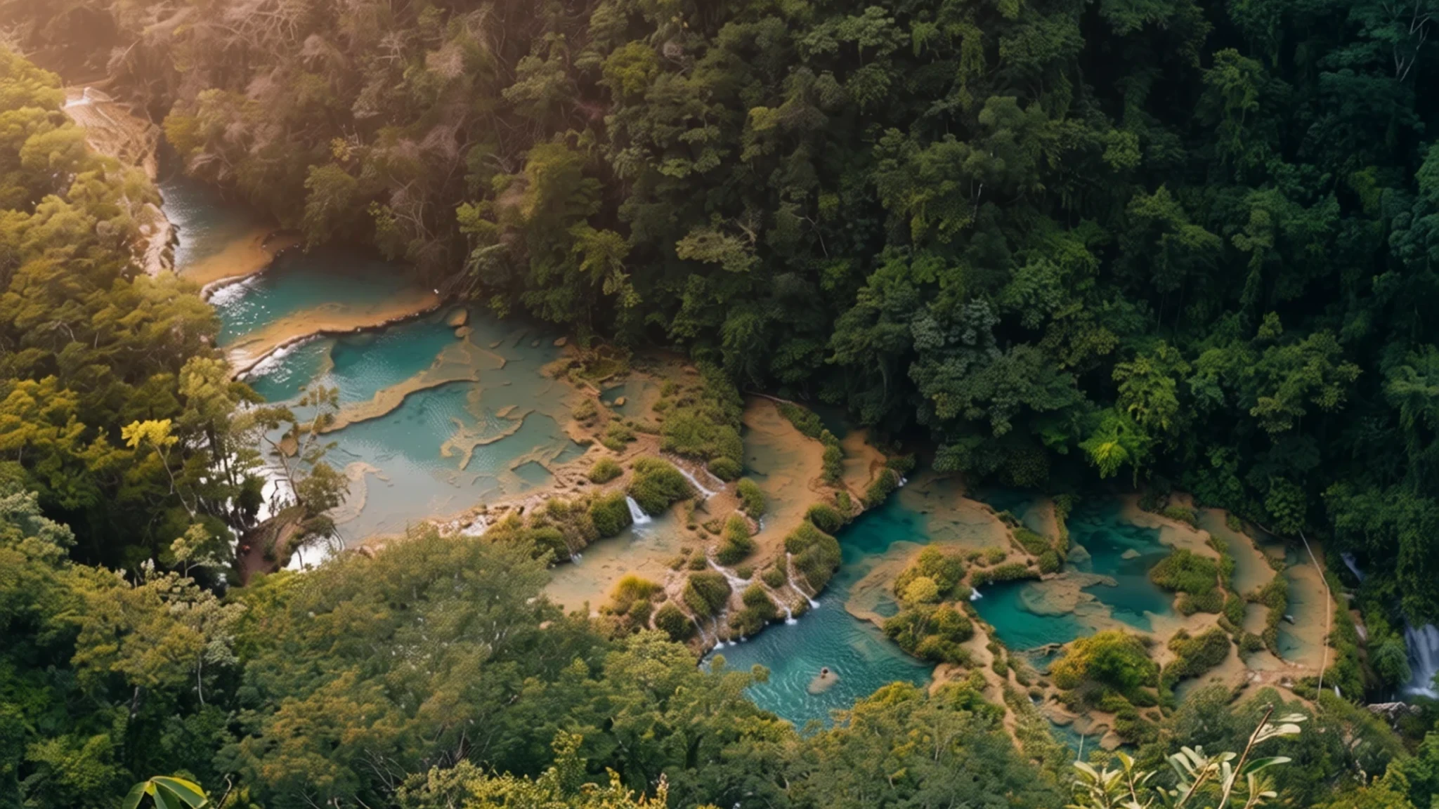
Turquoise terraced pools fed by mountain springs, sitting on a limestone bridge over a river that vanishes underground.
The place
Semuc Champey sits in the Alta Verapaz region of central-northern Guatemala, inside a stretch of subtropical rainforest that feels far from any main road. Its centrepiece is a natural bridge of travertine limestone about 300 metres (980 ft) long. Beneath it, the main current of the Cahabón River drops into a cave system through a sinkhole the locals call El Sumidero, so the water you see on top is only part of the story. Above the river, the rock steps down in a chain of pools, each fed by spring water running off the surrounding mountains, and the shallow basins take on a turquoise-green colour that looks almost unreal in sunlight. The site lies near the Q'eqchi' Maya town of Lanquín and sits at roughly 341 metres above sea level, so the days are warm and humid and the nights cooler. The name comes from the Q'eqchi' language and points to that underground disappearance. Guatemala formally protected the area as a national monument in 2005, and it has grown steadily in popularity, although it remains a long and bumpy journey to reach. Expect the cloud to roll in during the wet season, when the views from above can vanish for hours and the river runs higher.
Its story
The story of Semuc Champey begins with water and stone. Travertine forms when mineral-rich spring water leaves calcium carbonate behind as it flows, and over a long period those deposits have built up into the terraces and natural bridge visible today. The Cahabón River carved and feeds this valley, running fast and loud before it reaches the limestone. Where the flow meets the rock, much of it slips down the sinkhole and into caves beneath, while the pools above are topped up by springs rising from the hills. The Q'eqchi' Maya people of the region have lived with this river for generations, and the name they gave the site points to what visitors notice first: the water vanishing under the ground. For many years the place was hard to reach, and travellers usually based themselves in Lanquín, which was the normal place to stay until around the year 2000. Since then, community-run lodgings have appeared just outside the park. In 2005 the Guatemalan government gave the pools and caves an official status as a national monument. Visitor numbers have risen steadily since, and the question now is how to share a fragile limestone system with more people while keeping the water clean and the pools intact.
What to see
- El Mirador viewpoint — Hillside above the park, reached on foot from the car park
The viewpoint most visitors aim for is El Mirador, a lookout high above the valley. The walk up is roughly 45 minutes through hot, humid jungle, and the path is steep and can be slippery after rain. Take water and wear shoes with grip. At the top, the whole stepped run of pools is laid out below you, with the river disappearing into the hillside.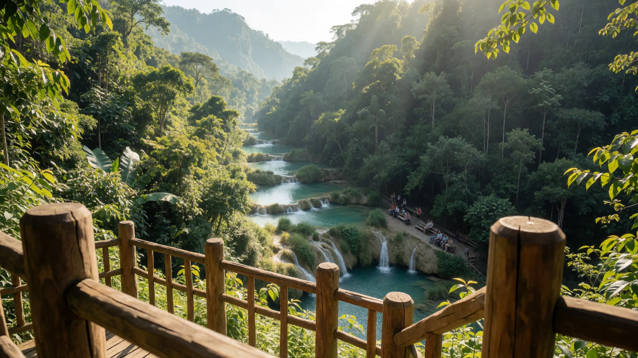
- The turquoise pools — The main park, along the limestone terraces
The turquoise pools are the reason most people come. They step down the limestone in a series of basins, each one fed by spring water from the hills. The colour comes from minerals and the light, and it changes through the day. You can swim in several of the lower pools, though the water is cool rather than warm, and the rocks are slippery underfoot.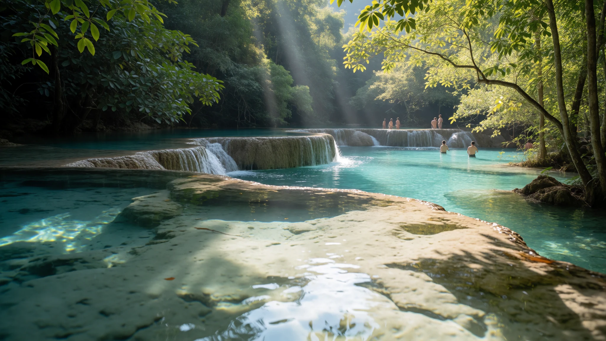
- K'anba Cave tour — Cave system beneath the park, reached on a guided tour
The K'anba Cave tour is a guided, hands-on trip into the limestone. You crawl, climb and in places swim through passages lit only by candles you carry, and the experience is part adventure, part caving. Expect to get wet and muddy. This tour ends with a float on inner tubes down the river, which is a good way to cool off. Ask what the operator includes before you book.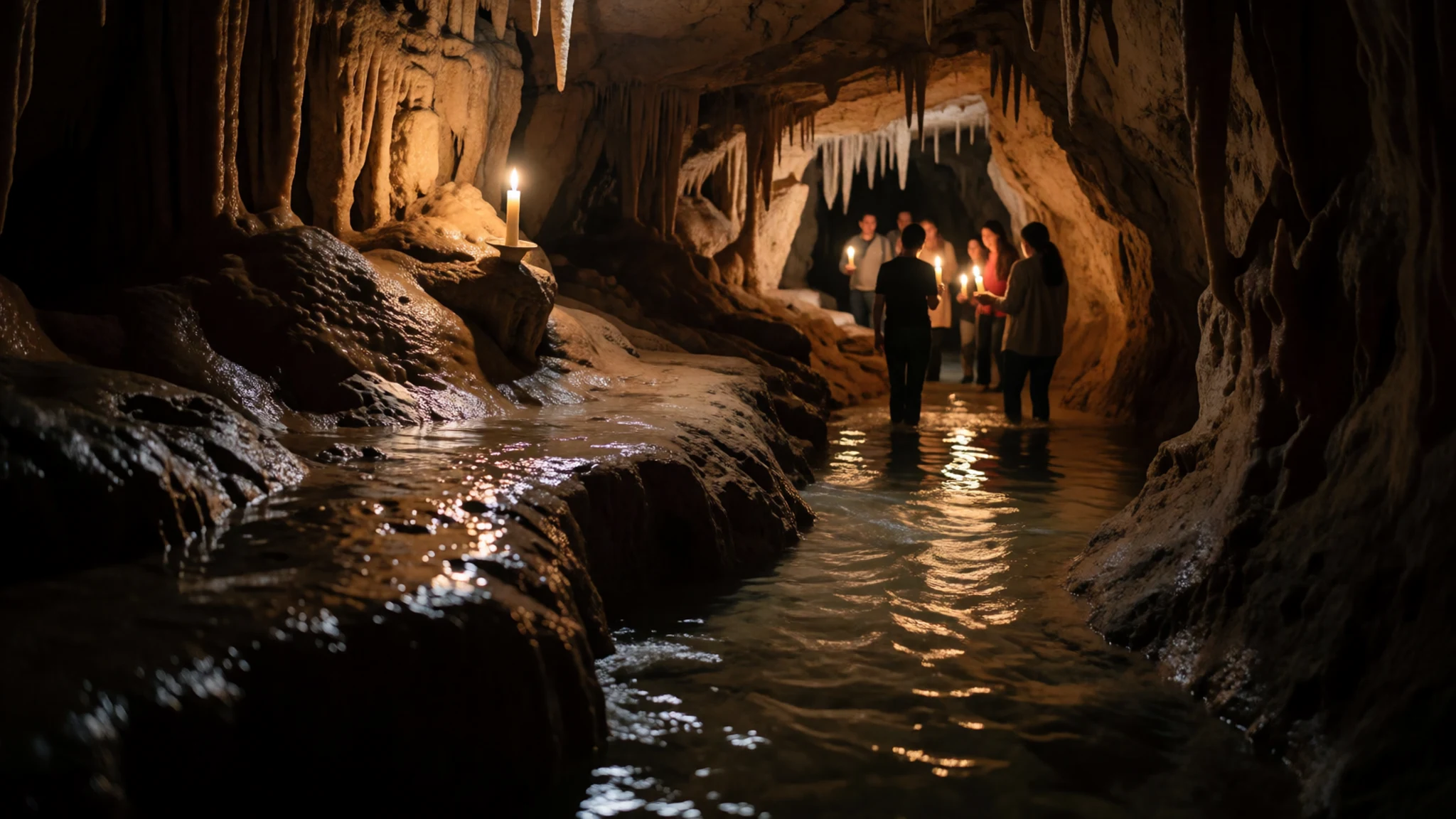
- Lanquín town — The nearest town, a shuttle or taxi ride away
Lanquín was the town most visitors slept in until around 2000, and most now stay in community lodges just outside the park. Its small lodges and eateries are simple, and a waterfall near town makes a good half-day outing. The town is Q'eqchi' Maya, and you will hear the language in the market and on the street. Go with respect, ask before photographing people, and buy a little from local stalls where you can.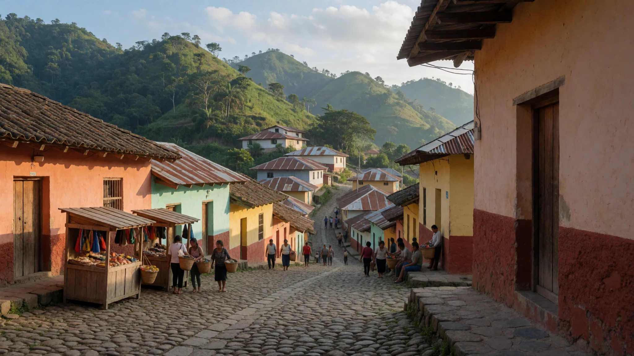
- The Cahabón River — The river below the bridge, reached on foot or by tube
The Cahabón River is the force behind the whole place. It runs fast through the valley, and below the bridge it disappears into the sinkhole. Its level rises sharply after heavy rain, which can close the caves and cut off trails. Check conditions with your guide on the day rather than relying on the forecast.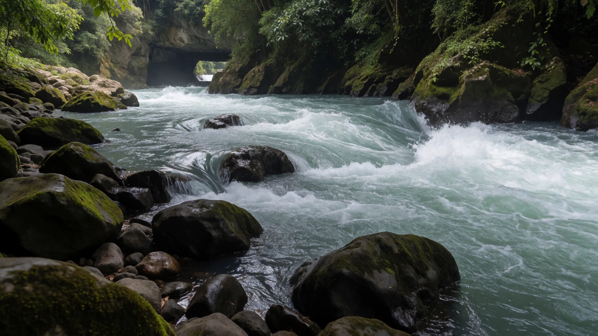
Culture
Semuc Champey is a protected natural area, and the people who live around it are mostly Q'eqchi' Maya, with their own language and long traditions in farming and village life. Many families here are used to visitors, but a few things matter. Greetings are warm and polite, and a simple buenos días goes a long way, even if your Spanish is limited. Local community-run lodges and small businesses depend on tourism, so spending in them keeps the benefits close to home. Religious life matters across the region, so if you are invited to a ceremony, follow the lead of people around you and keep your distance. Rubbish is a real problem in river and jungle areas, so carry out what you carry in and use the bins or bags that guides provide. Follow the guides' rules at the pools and caves, as they protect a fragile limestone system as well as keeping you safe. Always ask before photographing a person, particularly children or people working at the market.
What to wear
Semuc Champey has no formal dress code, but the Q'eqchi' communities around Lanquín have a textile tradition worth knowing about. Women traditionally wear a huipil, a loose embroidered blouse, with a corte, a wrapped woven skirt, and a faja, a woven waist sash. These are made from cotton and sometimes wool, usually on a backstrap loom, and the patterns and colours often identify a village. Men's traditional dress is less common in everyday life, though embroidered shirts still appear at festivals and ceremonies. In town and on market days, many women still wear traje, while younger people are more likely to wear jeans, T-shirts and sneakers. For a visitor, the sensible choice is quick-dry, light layers. Long sleeves and a hat help with sun and mosquitoes, and shorts and swimwear are fine at the pools, but cover up when you walk through villages or visit a church. Bring sandals with a strap or water shoes for the river and caves, and closed shoes with good grip for the steep hike to the viewpoint. A light rain jacket is useful in the wet season, when cloud and showers are common.
What to eat
- Pepián — A comedor in Lanquín or a town market in Alta Verapaz
Pepián is a rich stew of roasted seeds, chilies and sometimes tomato, thickened and deep in colour, usually served with chicken or pork and tortillas. The flavour is smoky and nutty. Ask for it at a comedor, the simple local eatery, where it is often served at midday.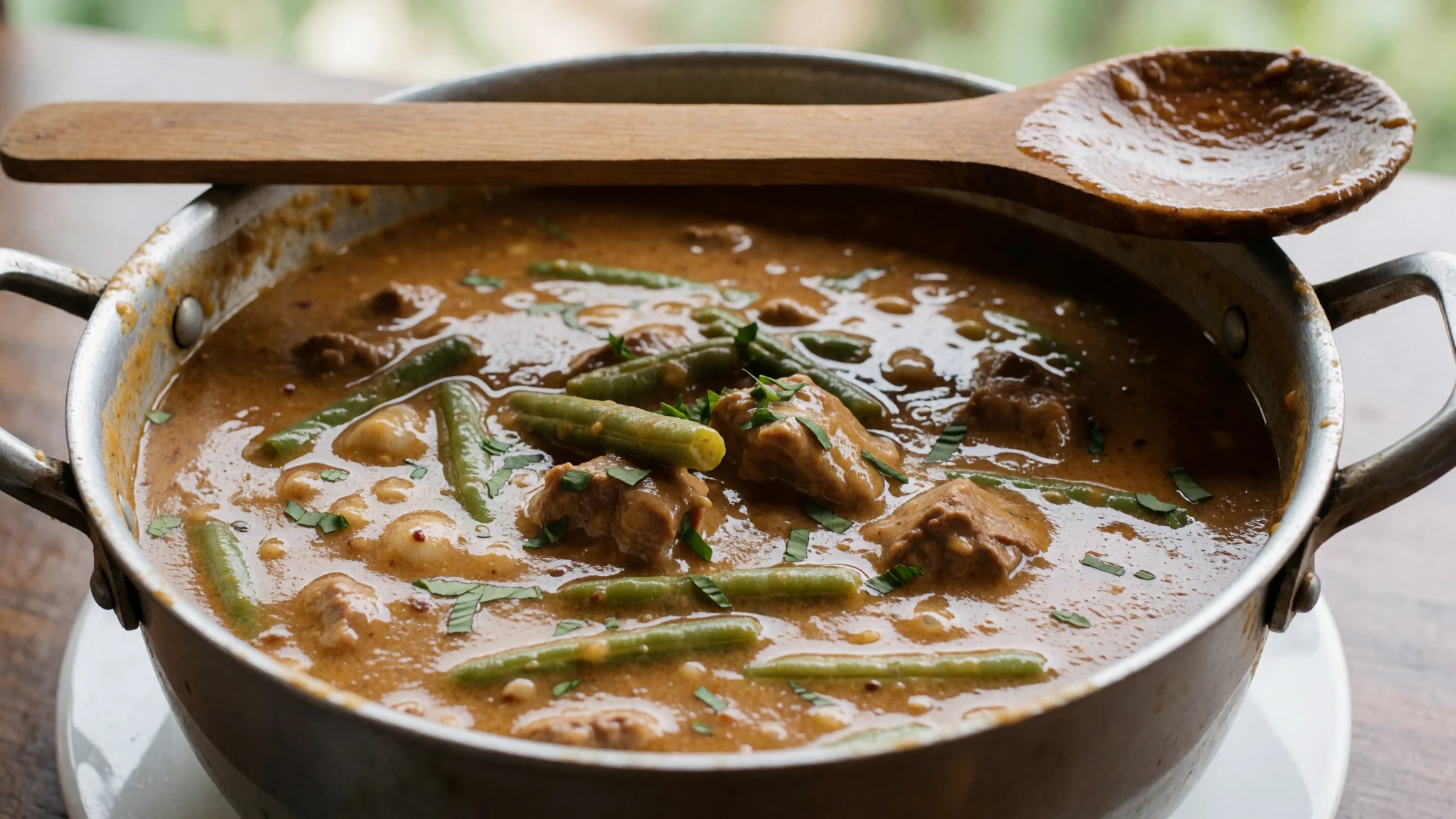
- Tamales colorados — Morning stalls and family kitchens in Lanquín
Wrapped in banana leaf, these tamales get their red colour from ground achiote and chilli. Masa is steamed with a filling, often chicken or pork and vegetables, and the leaf is peeled off before eating. Look for them at breakfast.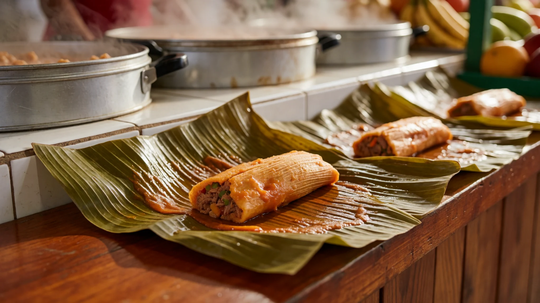
- Atol de elote — Corner stalls and comedores in Lanquín
A warm maize drink thickened with corn masa and flavoured with cinnamon and sugar, sipped from a cup at breakfast or in the afternoon. It is filling and mild, a good counterweight after a morning in the water. Ask for less sugar if you prefer. - Black beans and plantain — A comedor in town, usually for breakfast
Black beans cooked down until soft, served with fried plantain, cream and tortillas. It is the everyday staple across Alta Verapaz, cheap and filling, and often made without meat if you ask. - Local coffee — A café or guesthouse in the Lanquín area that sources from local growers
Alta Verapaz grows coffee on shaded hillsides, and a cup brewed locally is the easiest way to taste it. Ask for coffee from a named farm or cooperative and you will get a stronger, more interesting cup than instant. Drink it black or with a little raw sugar.
Plan it
Best time. The drier months from roughly December to April suit the pools best, with the clearest views in the dry season. May to October is the rainy season, when the river rises and cloud can hide the valley, and the jungle stays humid all year.
How long. 2–3
Getting there. Fly into Guatemala City, then take a shuttle to Lanquín from Antigua or Cobán. Shared taxis or your hotel's pickup complete the last leg to Semuc Champey; check the operator for current times.
Budget. mid
Tips
- Book your shuttle and lodging in advance, especially at weekends and in peak season
- Start the viewpoint hike early, before the midday heat
- Carry cash in quetzales for small purchases, tips and markets
- Bring water, sun cream and a dry bag for phones and cameras
- Check the river level with your guide before the caves, as rain can close them
- Allow a full day for the journey, since roads are long and often rough
Etiquette
- Follow guide instructions at the caves and pools
- Do not leave litter in the park or the river
- Ask before photographing people, and dress modestly when you go into towns
Nearby
Sources
- Wikidata Q1850670 (CC0)
- Wikipedia: Semuc Champey (rev 1372404654) (CC BY-SA 4.0)
- Wikivoyage: Semuc Champey (rev 4913159) (CC BY-SA 4.0)
- Tourism in Guatemala (Lucía García González), Semuc Champey natural wonder (CC0 1.0)
- Christopher Crouzet, Semuc Champey, Guatemala (CC BY 3.0)
- Pozas de Semuc Champey (4), unknown author (CC BY 3.0)
- Abajo de esta formación para el rio, seperezu (CC BY 3.0)
- Cahabón River, Semuc Champey, Christopher Crouzet (CC BY 3.0)
- Entrada del rio subterraneo en Semuc Champey, seperezu (CC BY 3.0)
- Waterfall in Lanquin, Helene84 (CC BY 3.0)
- Pasos peatonale en Semuc Champey, seperezu (CC BY 3.0)


